Elevation of Austin, NV, USA
Location: United States > Nevada >
Longitude: -117.06723
Latitude: 39.4925701
Elevation: 2068m / 6785feet
Barometric Pressure: 79KPa
Elevation Map:
Satellite Map:
Related Photos:
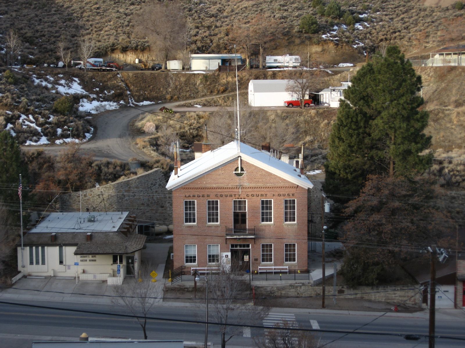
Historic Lander County Courthouse, Austin, Nevada
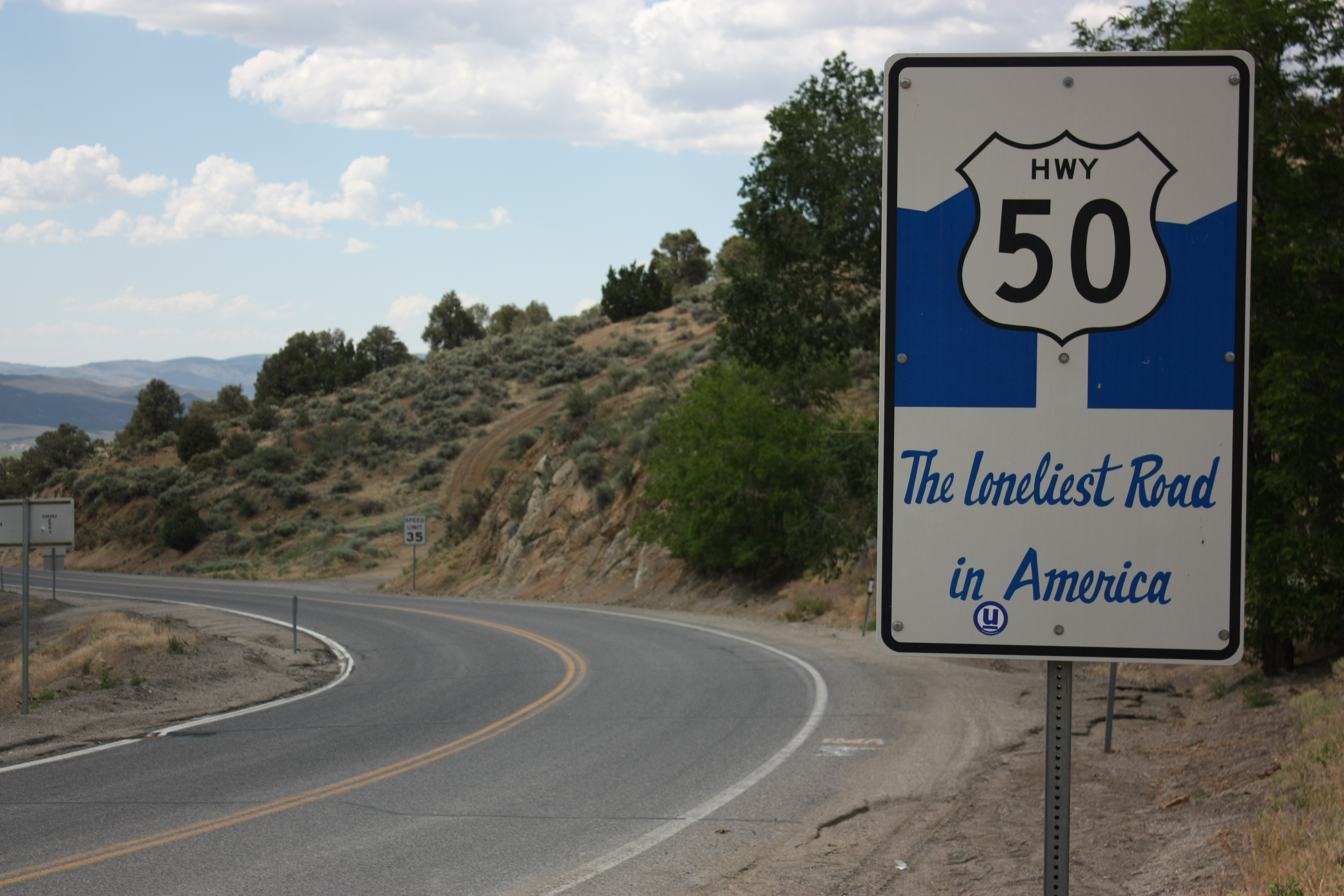
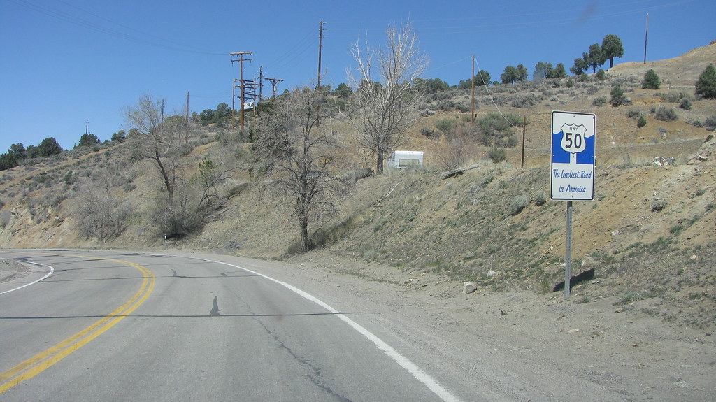
Proudly Proclaiming the Lonely Highway
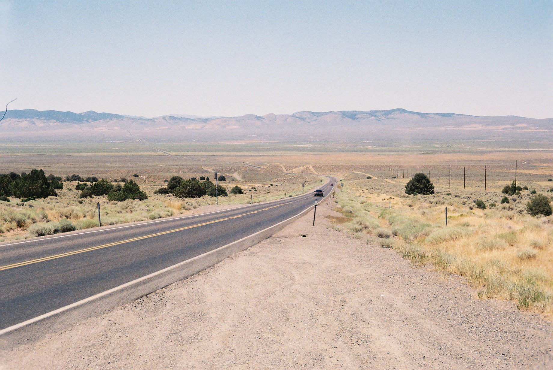
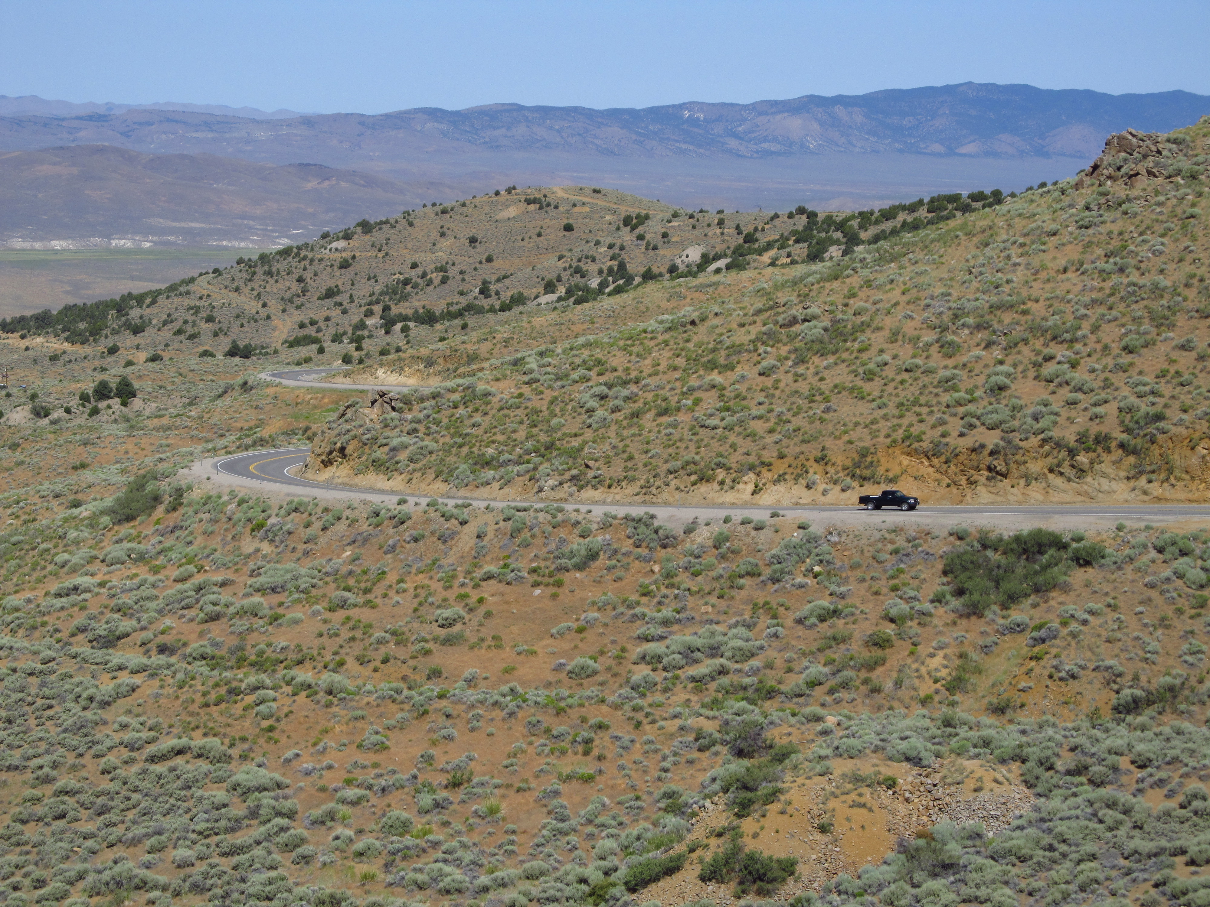
Just outside Austin Nevada heading west

Route 50 campsite view
Broad View of Pony Canyon and Austin, Nevada
Austin Summit, Nevada
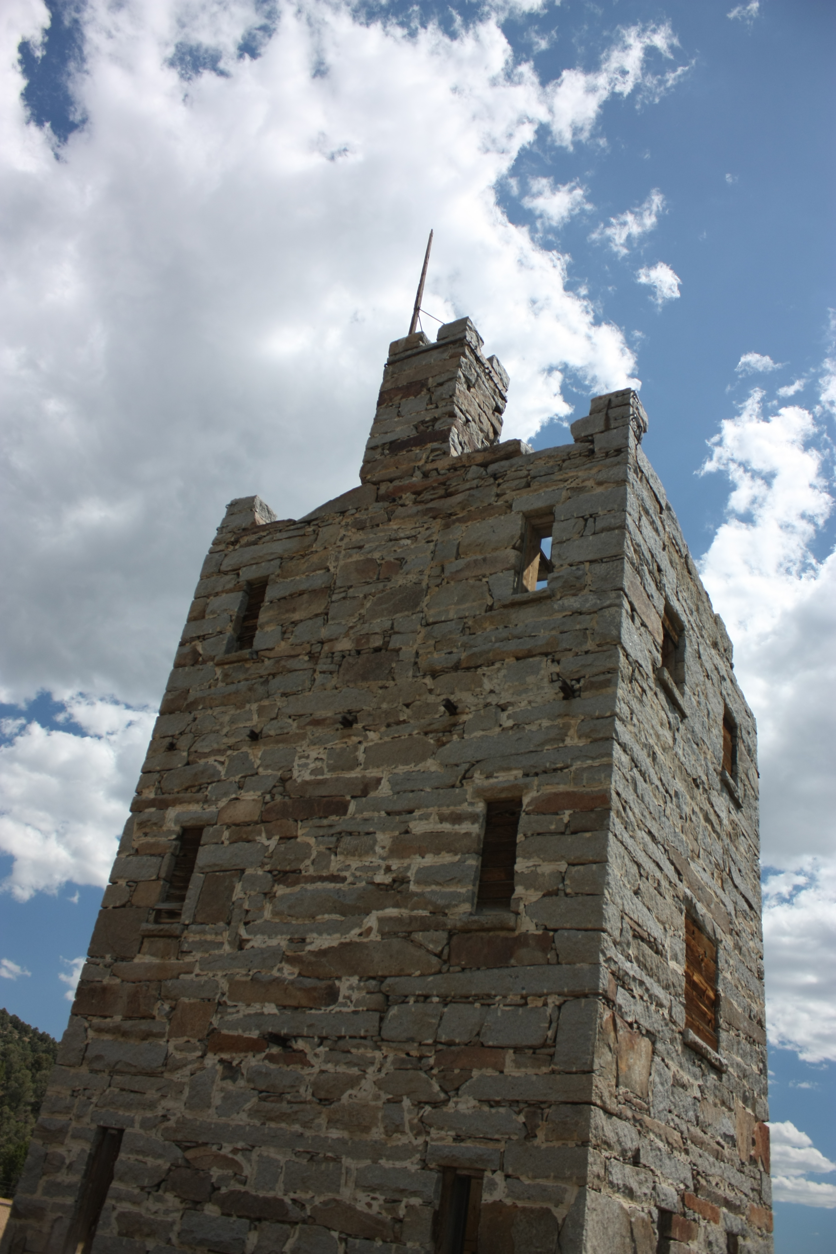
Stokes Castle

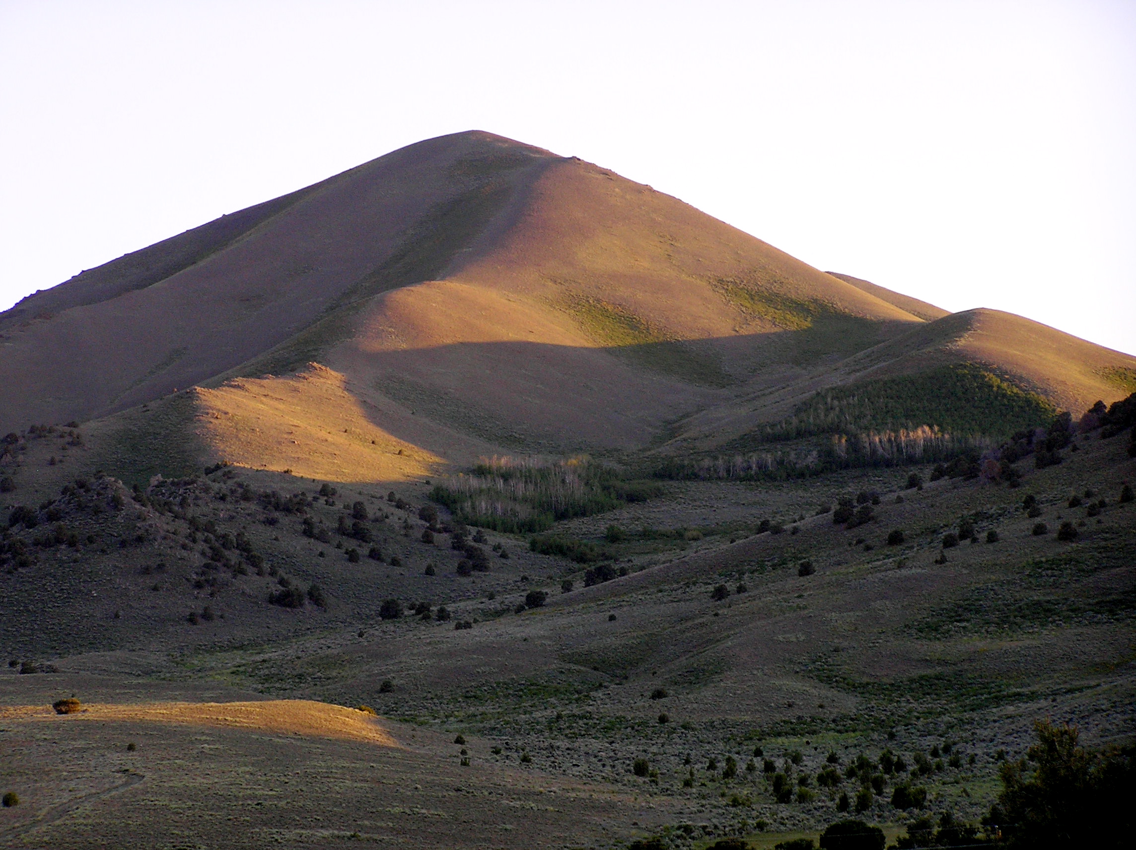
First Light
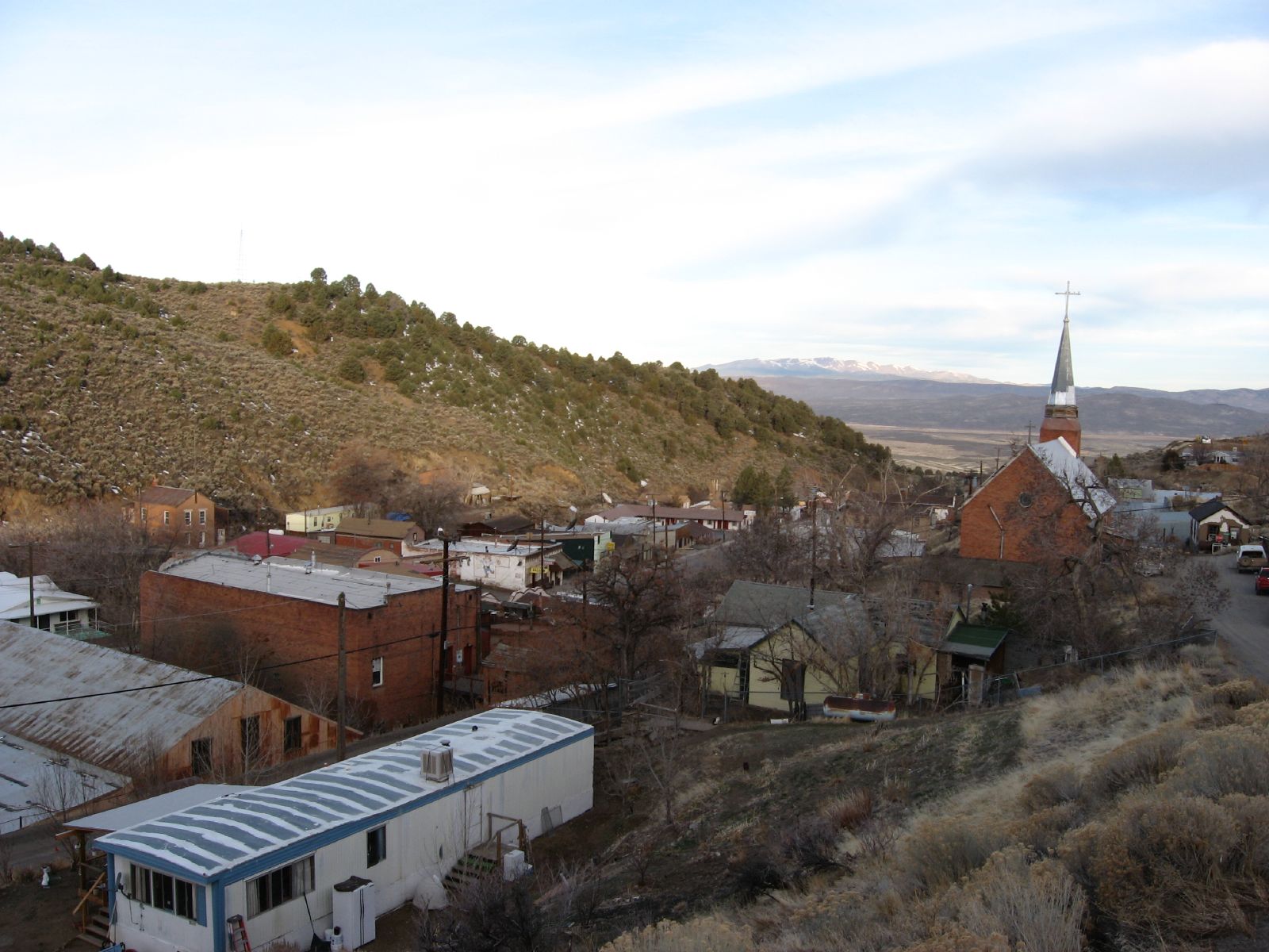
Austin, Nevada

Austin, Nevada
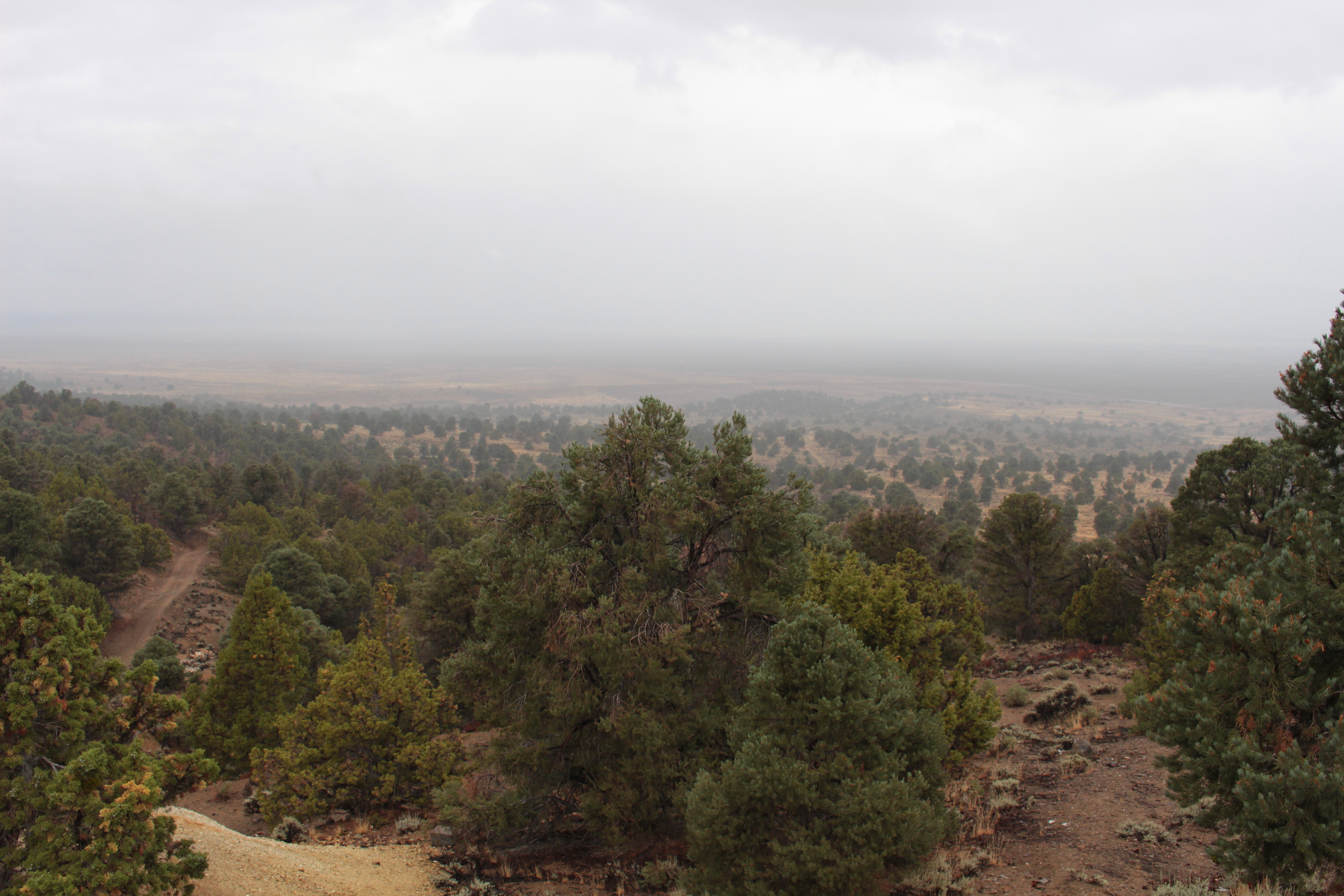
Rainy view
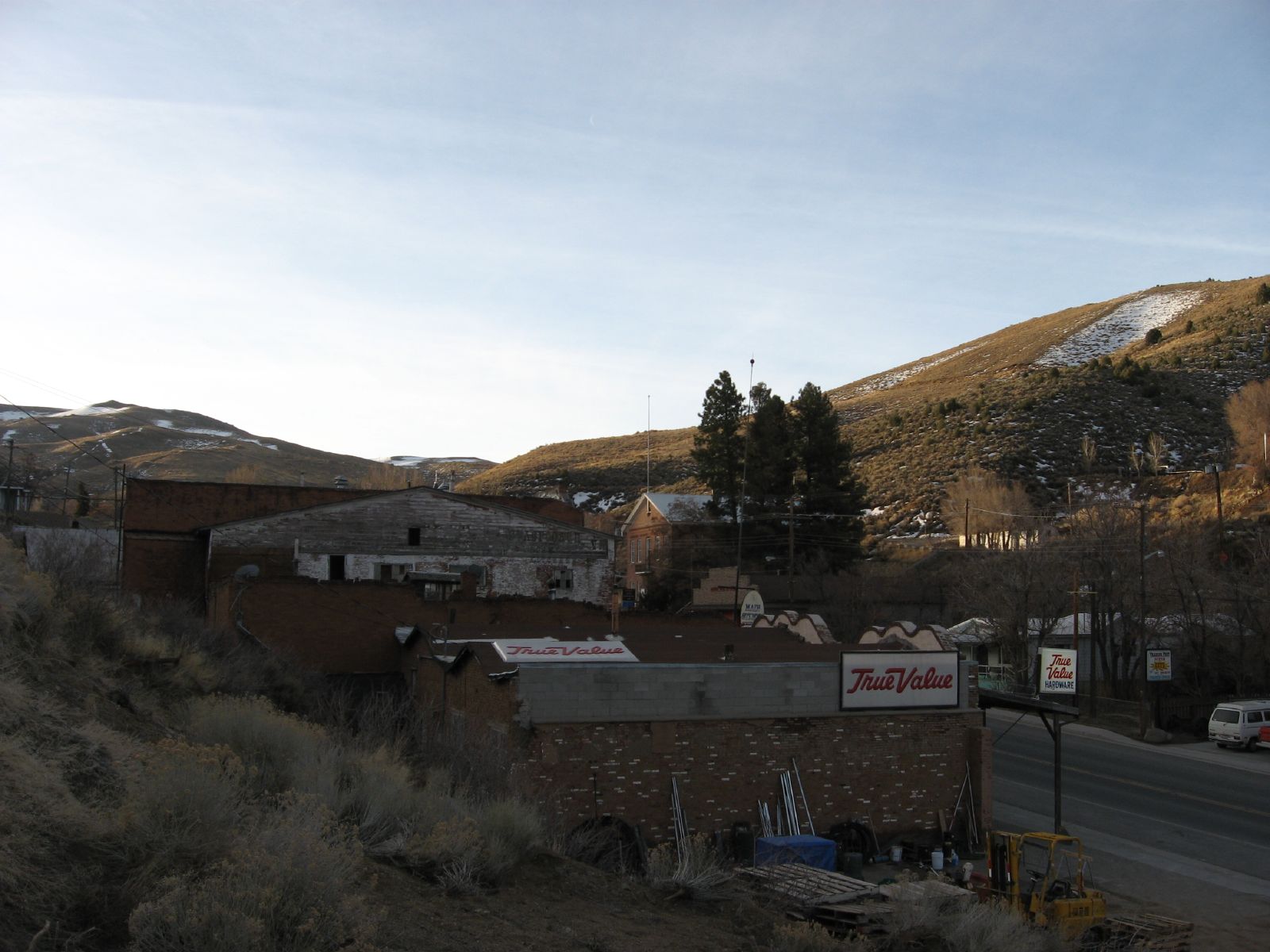
Austin, Nevada
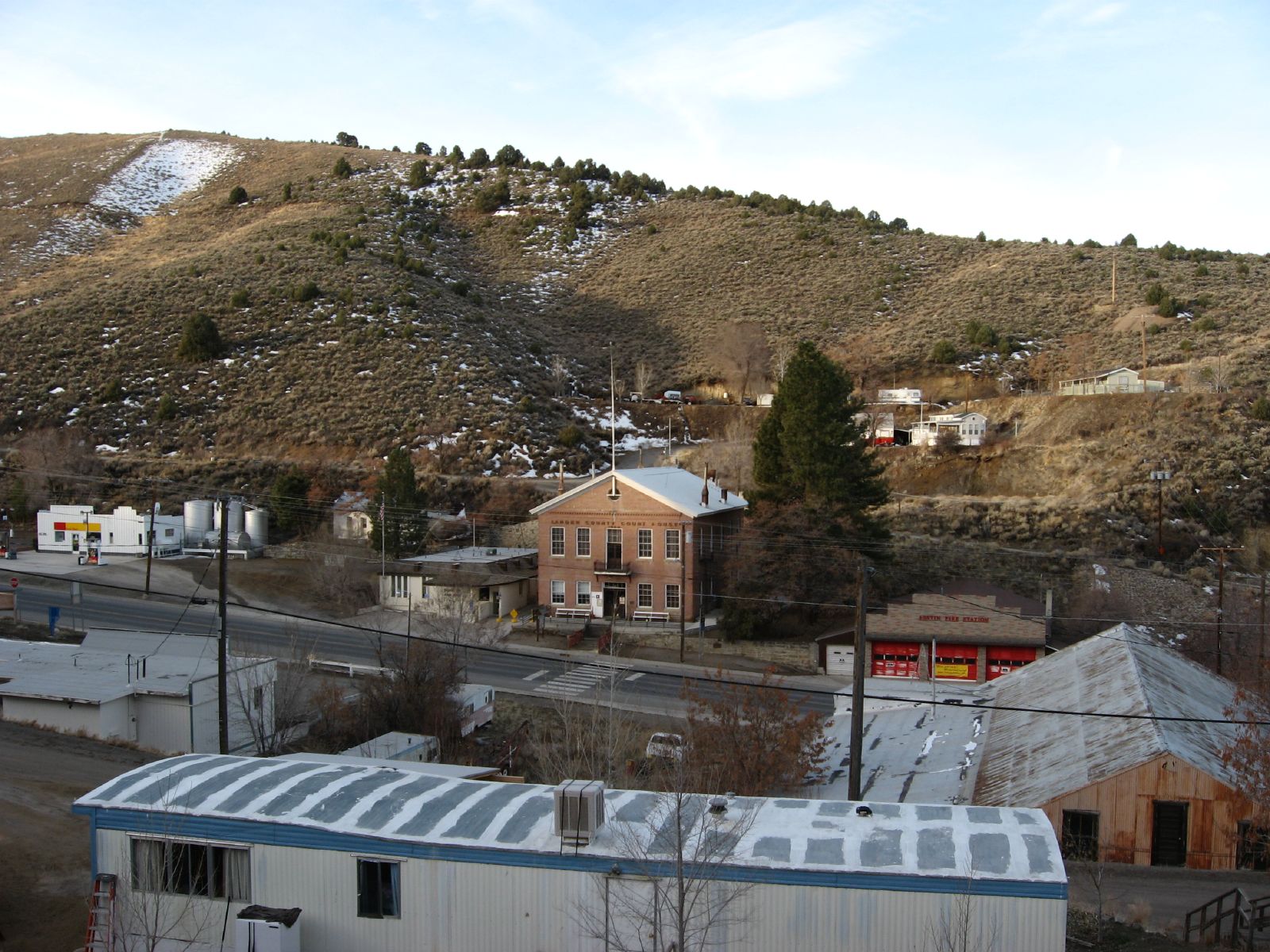
Old Lander County Courthouse, Austin, Nevada
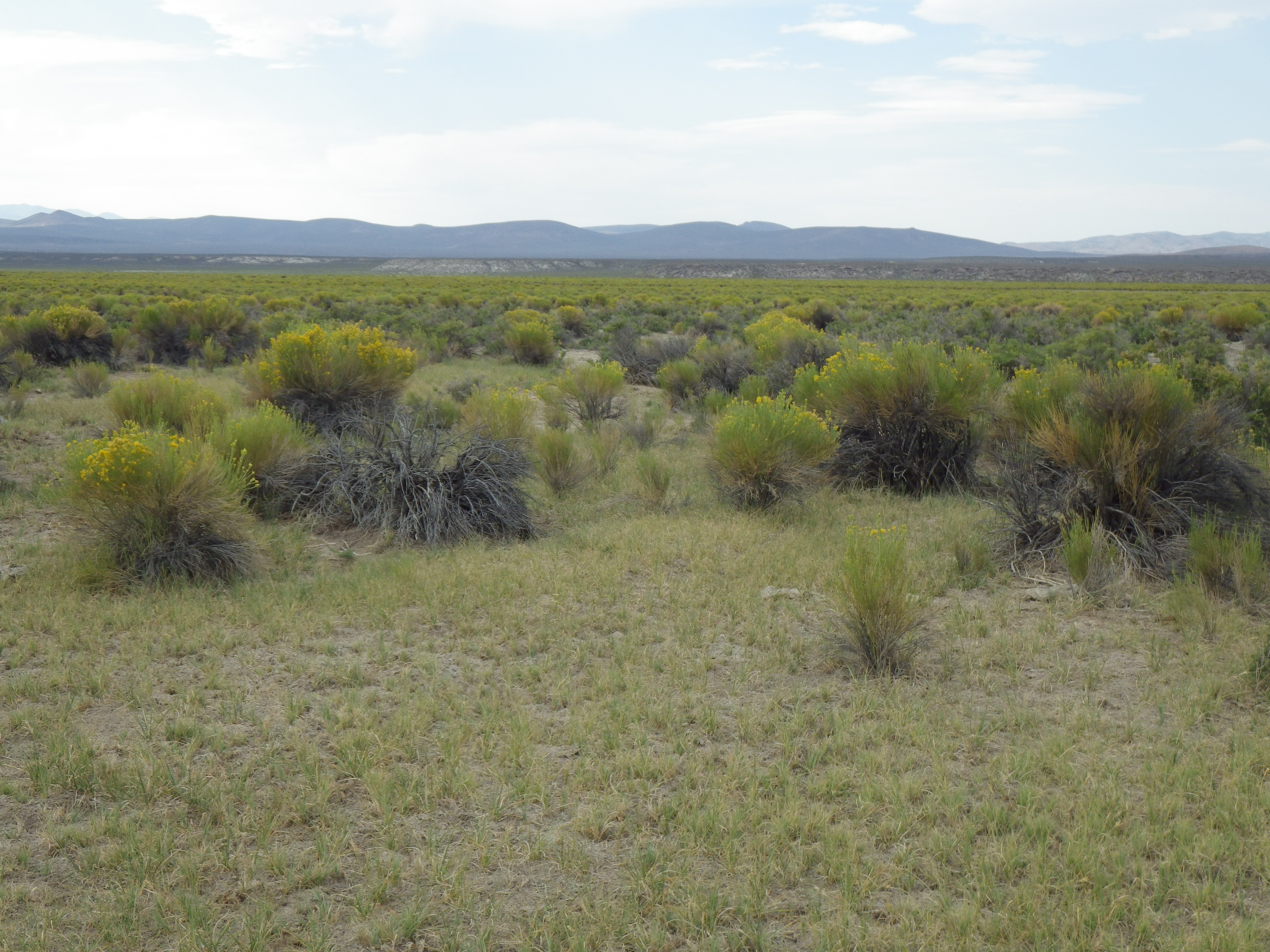
Jacobsville rabbitbrush and sagebrush steppe
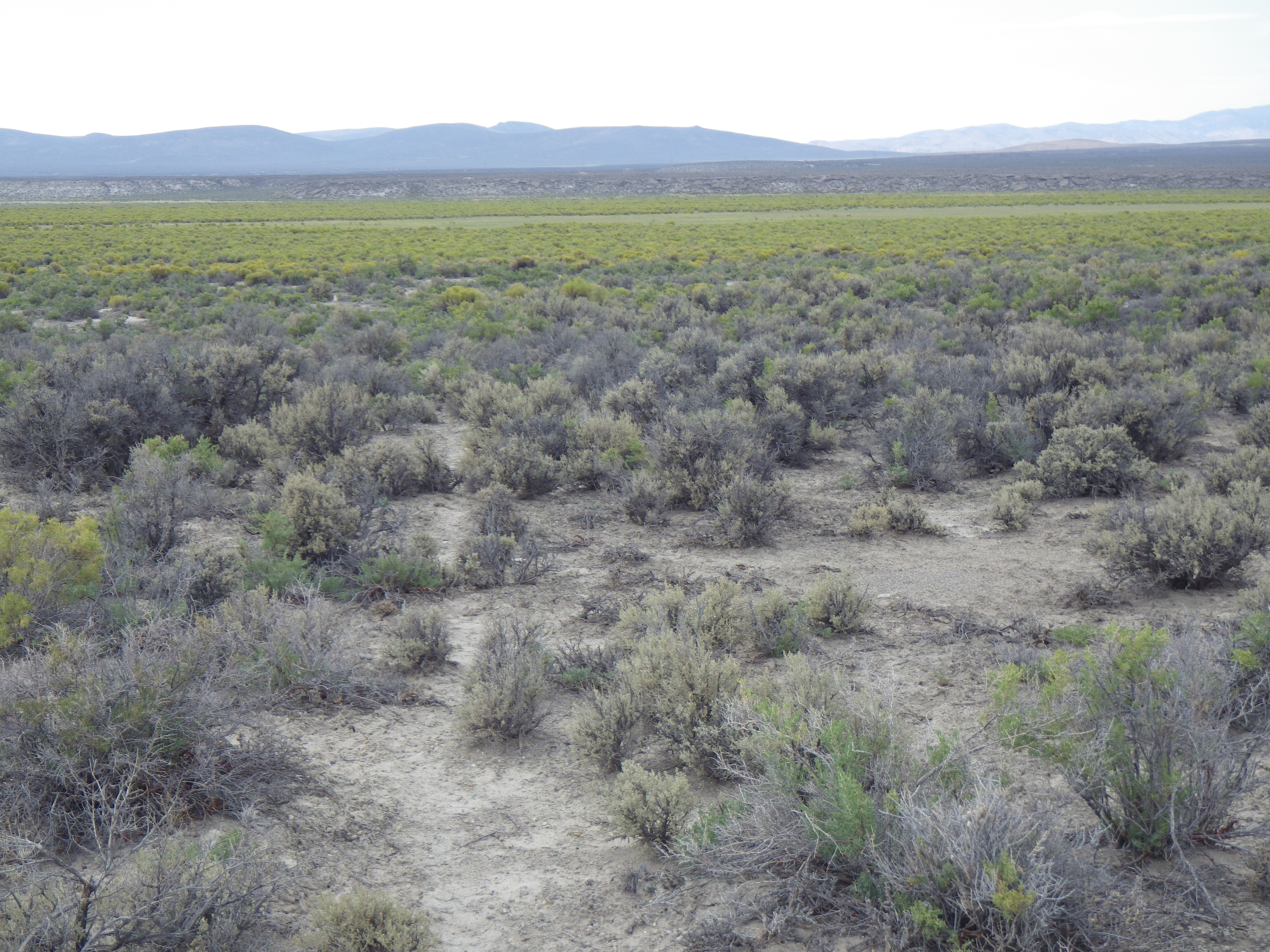
Jacobsville rabbitbrush and sagebrush steppe

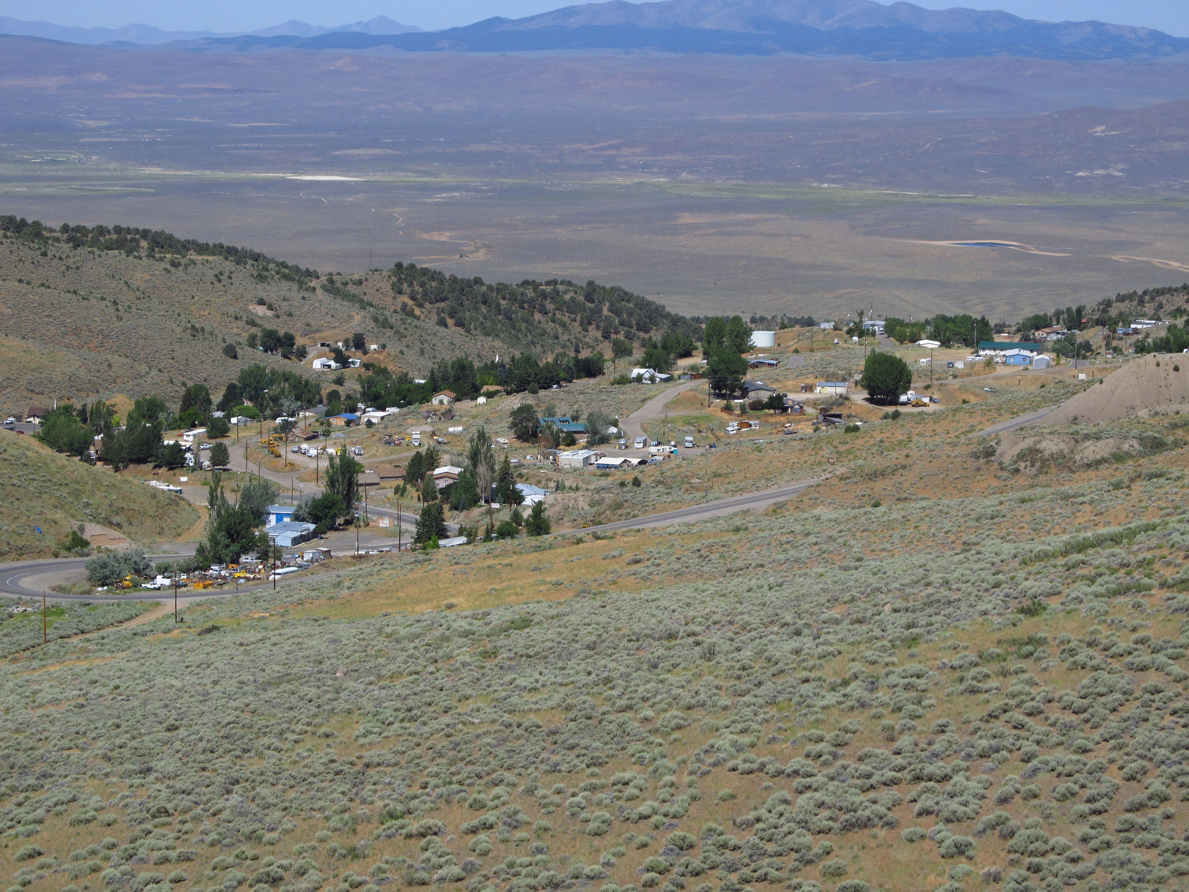
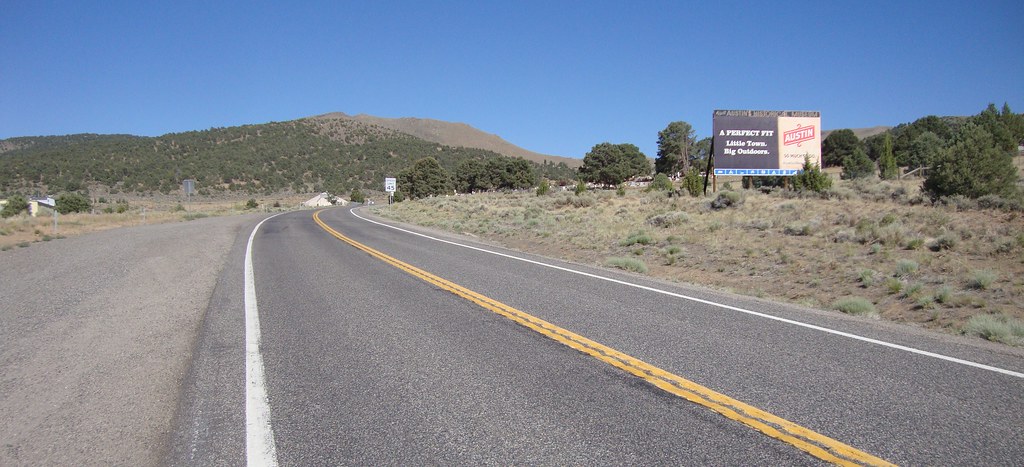
Austin from U.S. Route 50
...
Austin, Nevada
IMG_1790 (2)
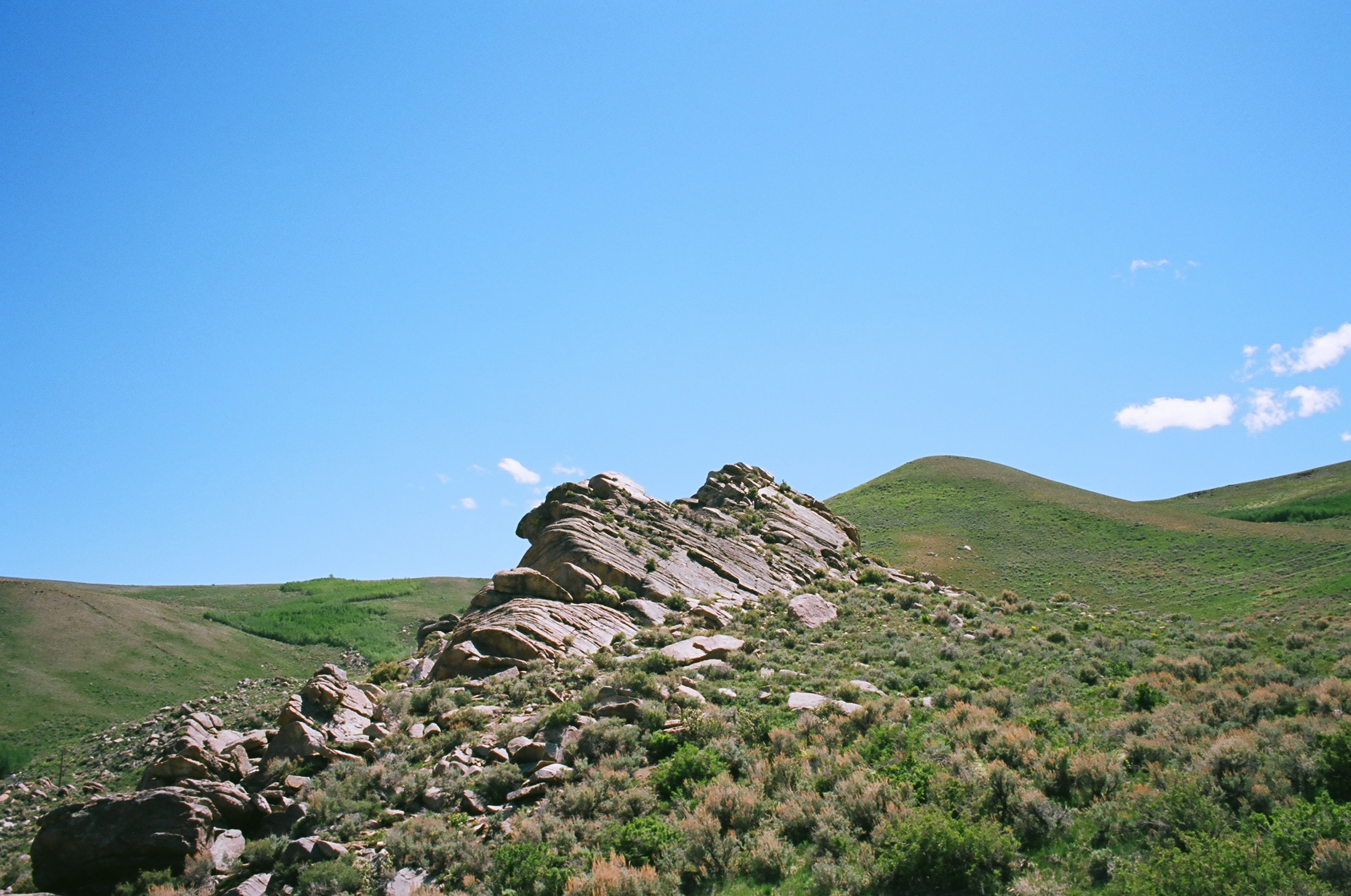
Toiyabe Outcrop
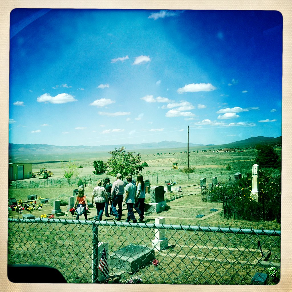
A family cleaning graves together on Memorial Day
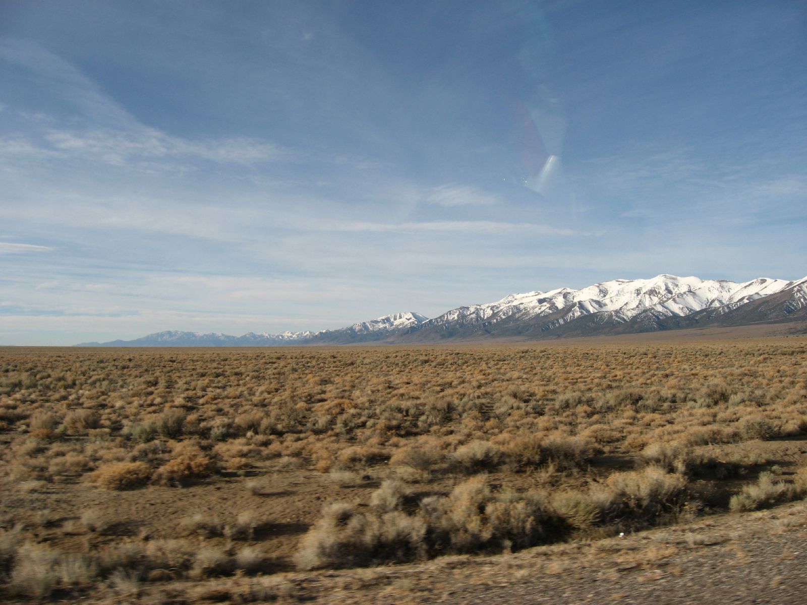
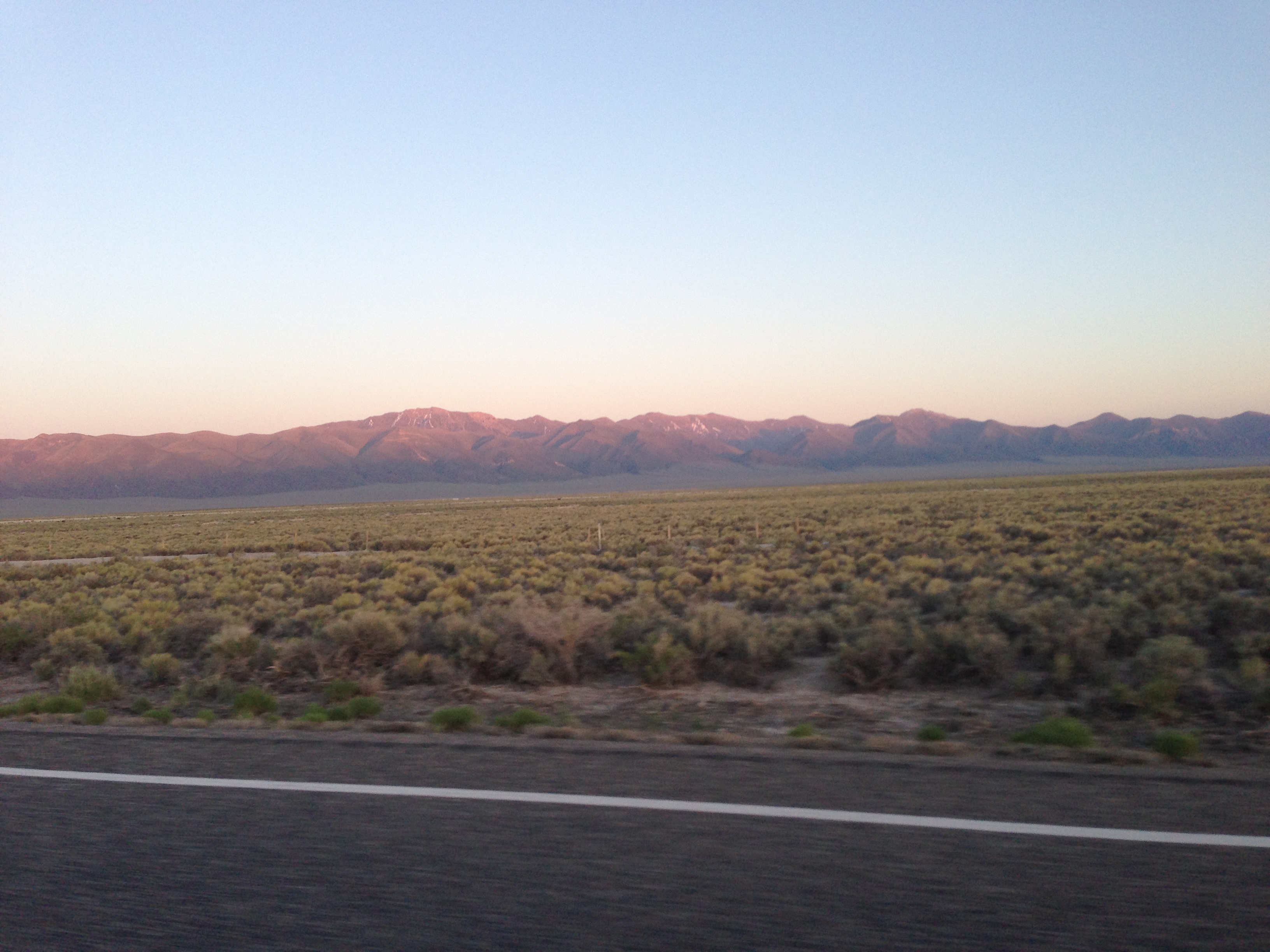
U.S. Route 50, Big Smoky Valley, Nevada
Austin, Nevada
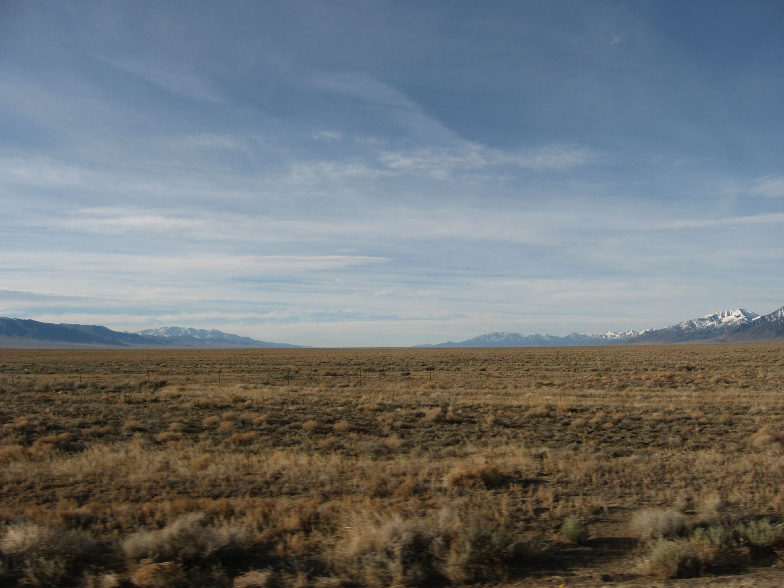
U.S. Route 50, Big Smoky Valley, Nevada
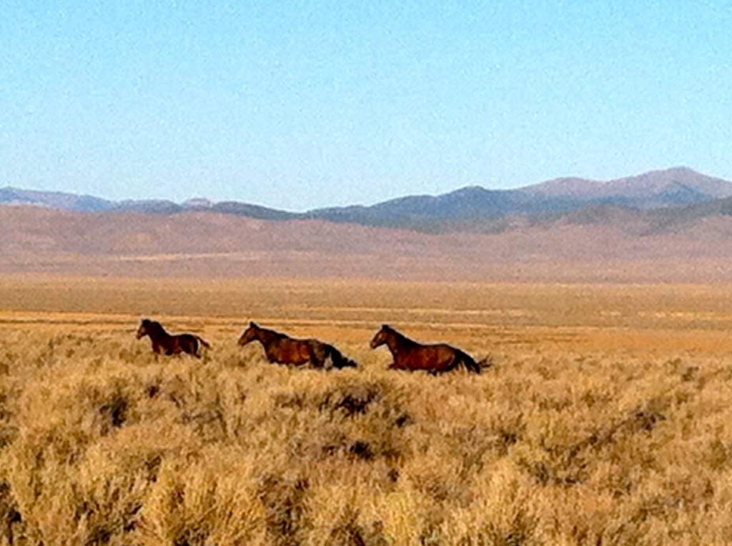
Wild horses in Antelope Valley near Austin Nevada
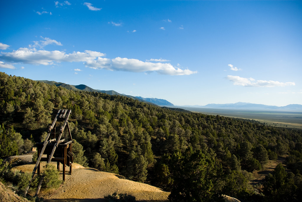
The mine below the castle
Topographic Map of Austin, NV, USA
Find elevation by address:

Places in Austin, NV, USA:
Mount Callaghan
Big Creek Peak
North Shoshone Peak
South Shoshone Peak
Grantsville Ridge
North Toiyabe Peak
Eagle Butte
Bates Mountain
Sherman Peak
Places near Austin, NV, USA:
Mount Callaghan
Eagle Butte
Bates Mountain
New Pass Peak
Lander County
Cain Mountain
Mount Moses
Cold Springs Station
Mount Augusta
Battle Mountain, NV, USA
Mount Tobin
Granite Mountain
China Mountain
Battle Mountain
North Peak
Buffalo Mountain
Great Basin
Anthony Road
Mill City
Recent Searches:
- Elevation of Corso Fratelli Cairoli, 35, Macerata MC, Italy
- Elevation of Tallevast Rd, Sarasota, FL, USA
- Elevation of 4th St E, Sonoma, CA, USA
- Elevation of Black Hollow Rd, Pennsdale, PA, USA
- Elevation of Oakland Ave, Williamsport, PA, USA
- Elevation of Pedrógão Grande, Portugal
- Elevation of Klee Dr, Martinsburg, WV, USA
- Elevation of Via Roma, Pieranica CR, Italy
- Elevation of Tavkvetili Mountain, Georgia
- Elevation of Hartfords Bluff Cir, Mt Pleasant, SC, USA