Elevation of Eagle Butte, Nevada, USA
Location: United States > Nevada > Austin >
Longitude: -116.80869
Latitude: 39.5299261
Elevation: 2421m / 7943feet
Barometric Pressure: 75KPa
Elevation Map:
Satellite Map:
Related Photos:
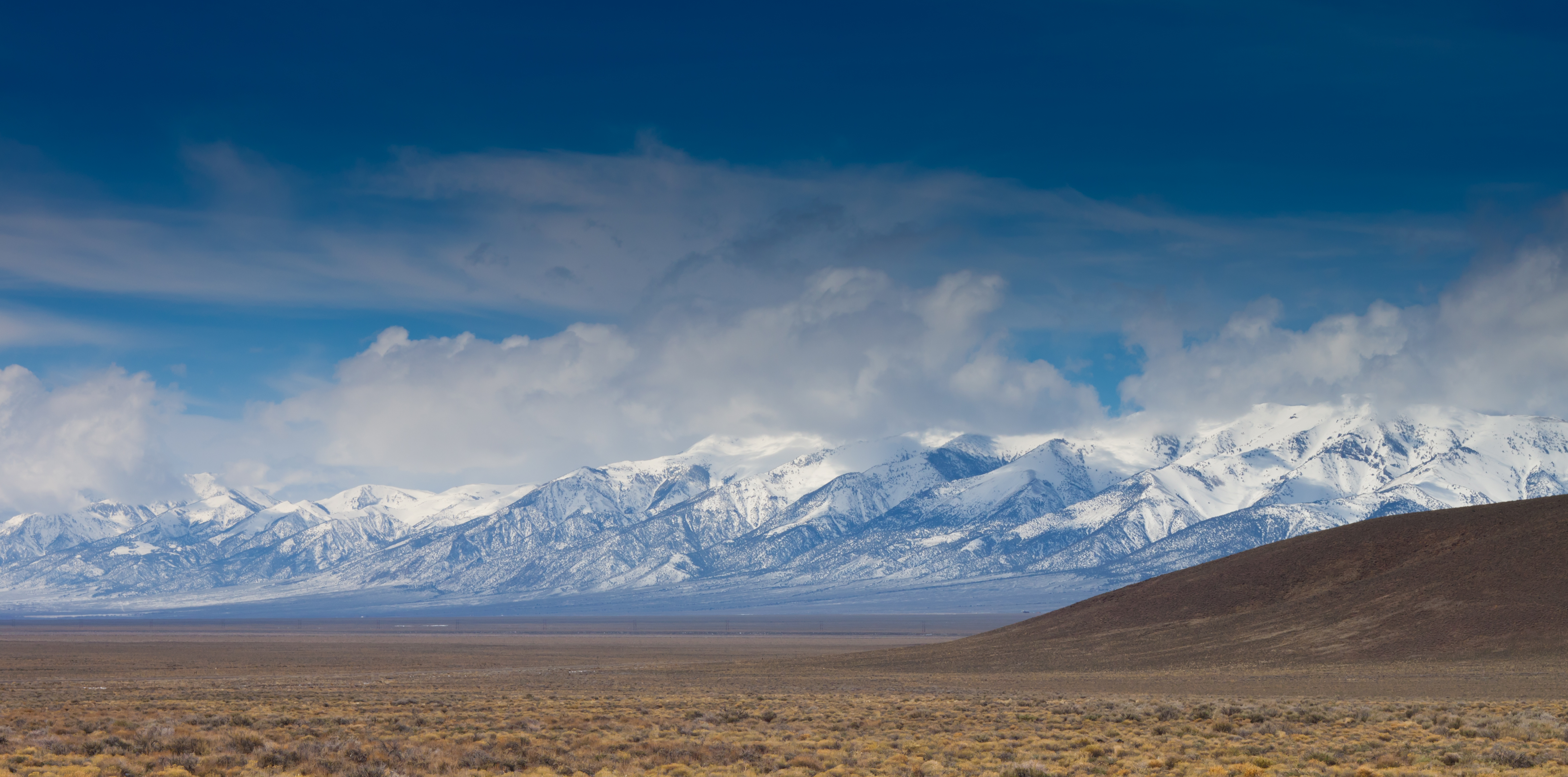
Storm Above
Topographic Map of Eagle Butte, Nevada, USA
Find elevation by address:

Places near Eagle Butte, Nevada, USA:
Bates Mountain
Mount Callaghan
Austin
Lander County
New Pass Peak
Battle Mountain, NV, USA
Mount Moses
Cain Mountain
Cold Springs Station
Mount Augusta
Mount Tobin
Battle Mountain
North Peak
China Mountain
Granite Mountain
Buffalo Mountain
Great Basin
Anthony Road
Mill City
Recent Searches:
- Elevation of Corso Fratelli Cairoli, 35, Macerata MC, Italy
- Elevation of Tallevast Rd, Sarasota, FL, USA
- Elevation of 4th St E, Sonoma, CA, USA
- Elevation of Black Hollow Rd, Pennsdale, PA, USA
- Elevation of Oakland Ave, Williamsport, PA, USA
- Elevation of Pedrógão Grande, Portugal
- Elevation of Klee Dr, Martinsburg, WV, USA
- Elevation of Via Roma, Pieranica CR, Italy
- Elevation of Tavkvetili Mountain, Georgia
- Elevation of Hartfords Bluff Cir, Mt Pleasant, SC, USA