Elevation map of Lander County, NV, USA
Location: United States > Nevada >
Longitude: -116.98524
Latitude: 40.0510104
Elevation: 1591m / 5220feet
Barometric Pressure: 84KPa
Elevation Map:
Satellite Map:
Related Photos:
DSCN0438_406
DSCN0460_428
DSCN0437_405
DSCN0435_403
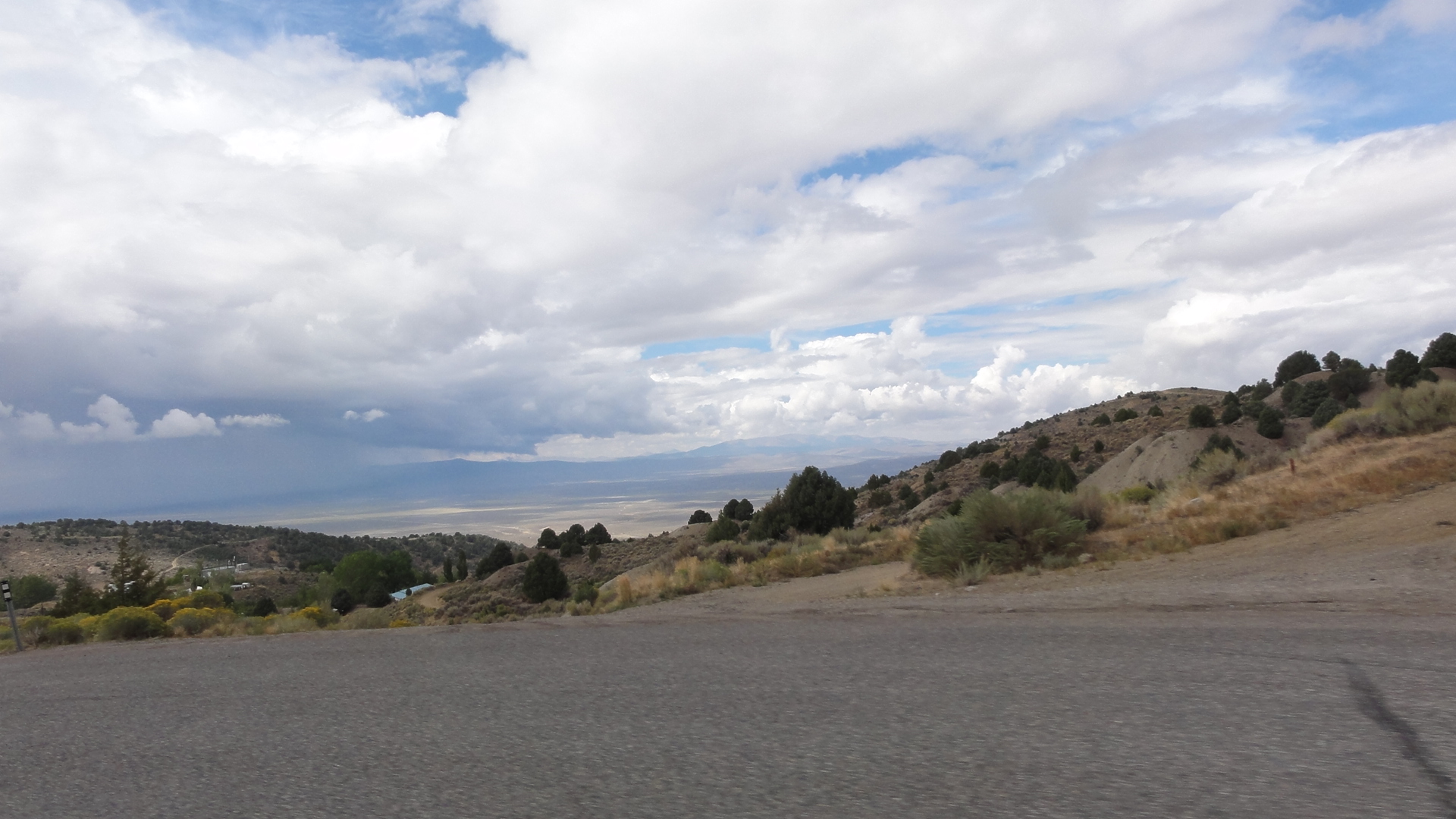
DSC00380

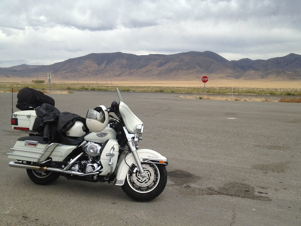
Vacation Motor
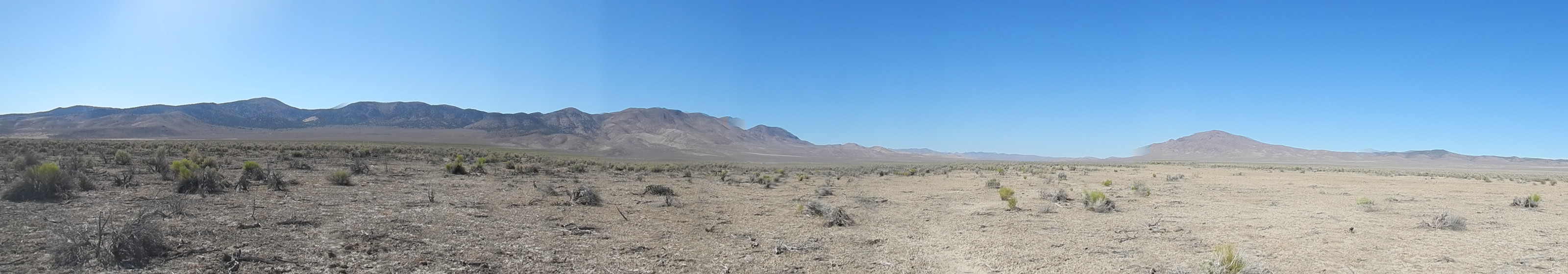
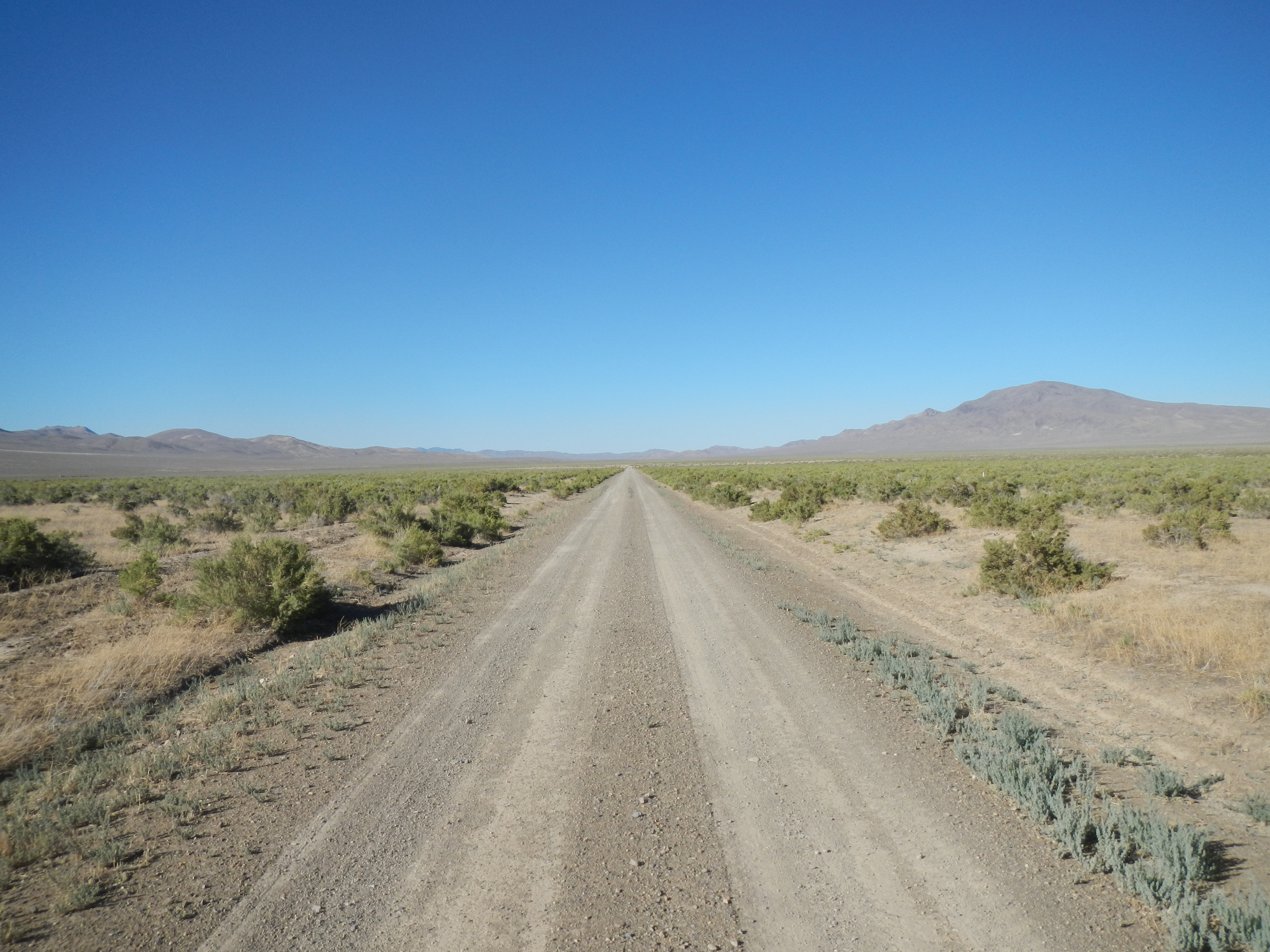
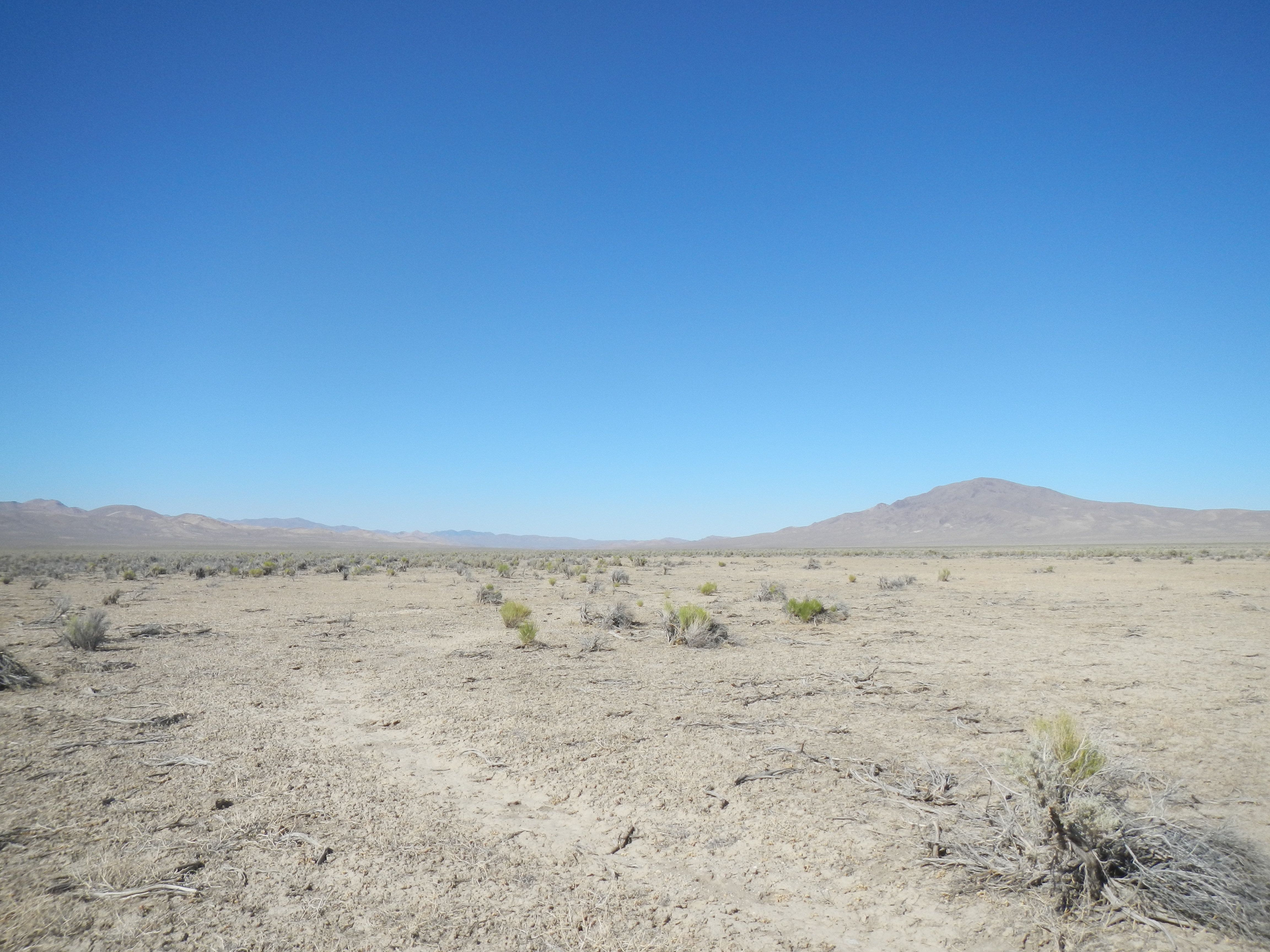
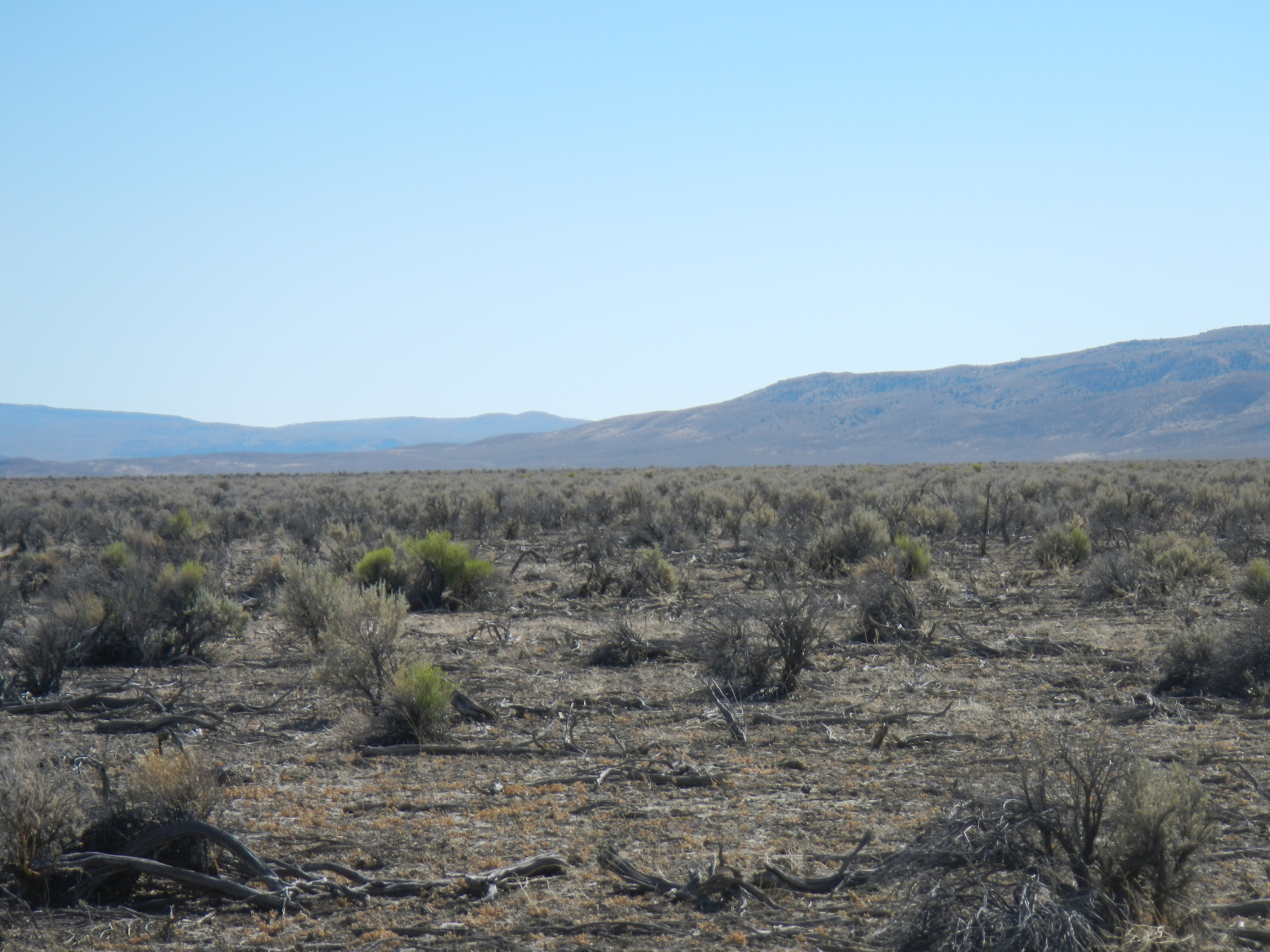
Great Basin Desert
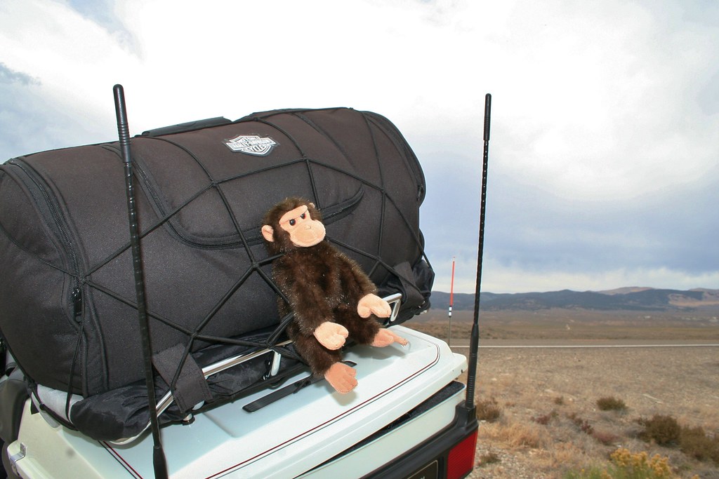
I Feel like a spider caught in a bungee web, not the APE I'm supposed to be!
Topographic Map of Lander County, NV, USA
Find elevation by address:

Places near Lander County, NV, USA:
Battle Mountain, NV, USA
Mount Callaghan
Mount Moses
Bates Mountain
Eagle Butte
Cain Mountain
Austin
Battle Mountain
Mount Tobin
New Pass Peak
North Peak
China Mountain
Buffalo Mountain
Granite Mountain
Great Basin
Anthony Road
Mount Augusta
Cold Springs Station
Mill City
Recent Searches:
- Elevation of Corso Fratelli Cairoli, 35, Macerata MC, Italy
- Elevation of Tallevast Rd, Sarasota, FL, USA
- Elevation of 4th St E, Sonoma, CA, USA
- Elevation of Black Hollow Rd, Pennsdale, PA, USA
- Elevation of Oakland Ave, Williamsport, PA, USA
- Elevation of Pedrógão Grande, Portugal
- Elevation of Klee Dr, Martinsburg, WV, USA
- Elevation of Via Roma, Pieranica CR, Italy
- Elevation of Tavkvetili Mountain, Georgia
- Elevation of Hartfords Bluff Cir, Mt Pleasant, SC, USA