Elevation of Morning Star Ln, Mariposa, CA, USA
Location: United States > California > Mariposa County > Mariposa >
Longitude: -119.910033
Latitude: 37.496668
Elevation: -10000m / -32808feet
Barometric Pressure: 0KPa
Related Photos:

Sortie de Route / Catheys Valley - Californie

Greens of Tree Leaves on the California Hillsides

A man paints with his brains and not with his hands…
Bad weather always looks worse through a window…

Sortie de Route / Catheys Valley - Californie

day 16 - brick building

Yosemite National Park - Glacier Point Timelapse

Carstens Fire, Mariposa County, CA

Ominous Sky

Looking Up a Hillside of Trees and Grassy Meadows
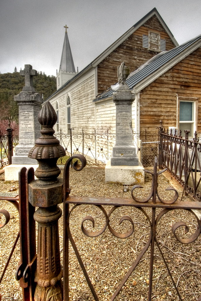
St. Joseph's Church, Mariposa

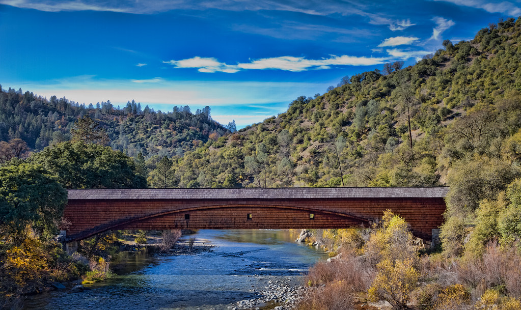
I've been eyeing this bridge for the past year finding a good day to fly by it. Well I was able to take my drone to work and was finally able to do it. This is the William Sell Bridge and it was built in 1972. It overlooks a beautiful view of the Sierras,
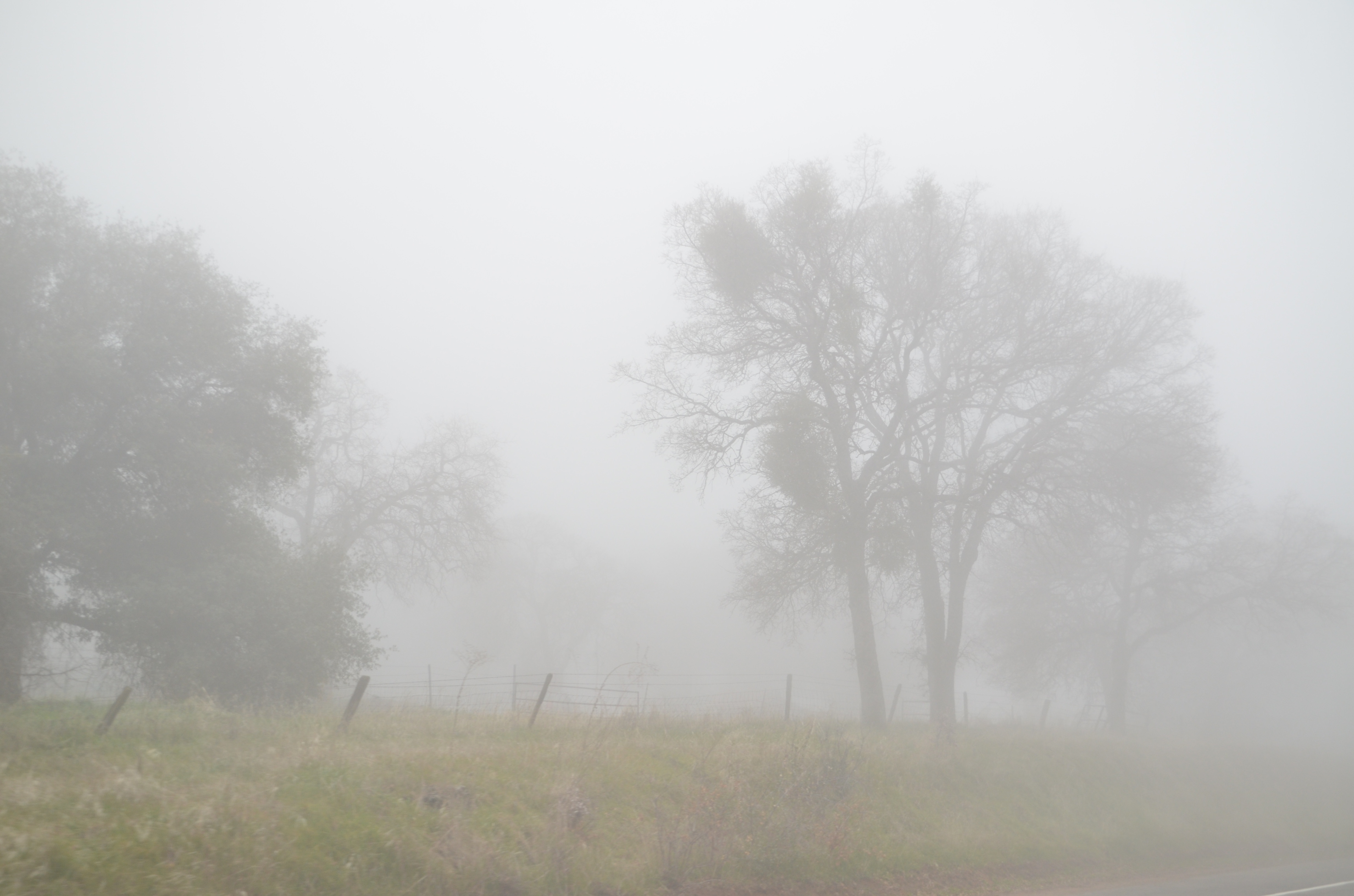
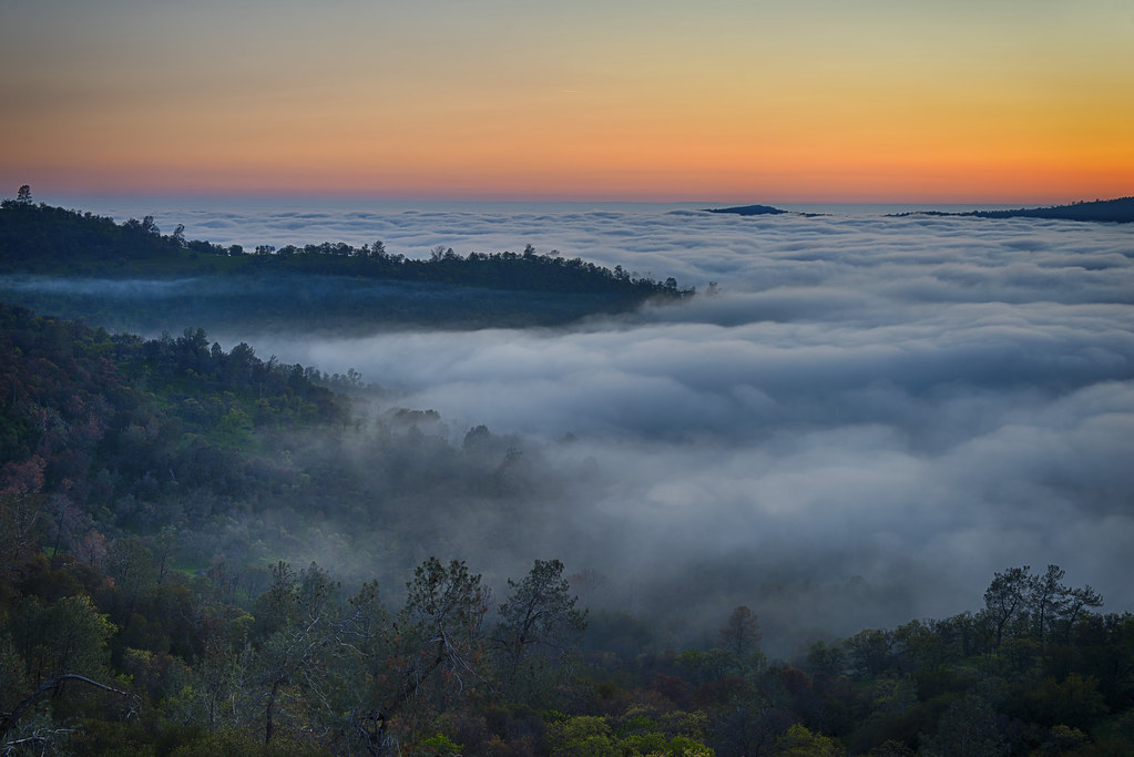
California Fog

Yosemite In The Winter

Red Moss

The Sierra Foothills

California 011
California 024

3d Striped Rock (view it large or original)

California 026

Cemetery, Mariposa

Half Dome, Yosemite National Park, California, USA

I'll paint a better picture of the woods with you in it.

P1000346 - Yosemite

Catheys Valley, California

Sierra Nevada 2017.

Tenaya Lake
The Covered Bridge at Bridgeport

P1000316 - Yosemite

_MG_7359.jpg

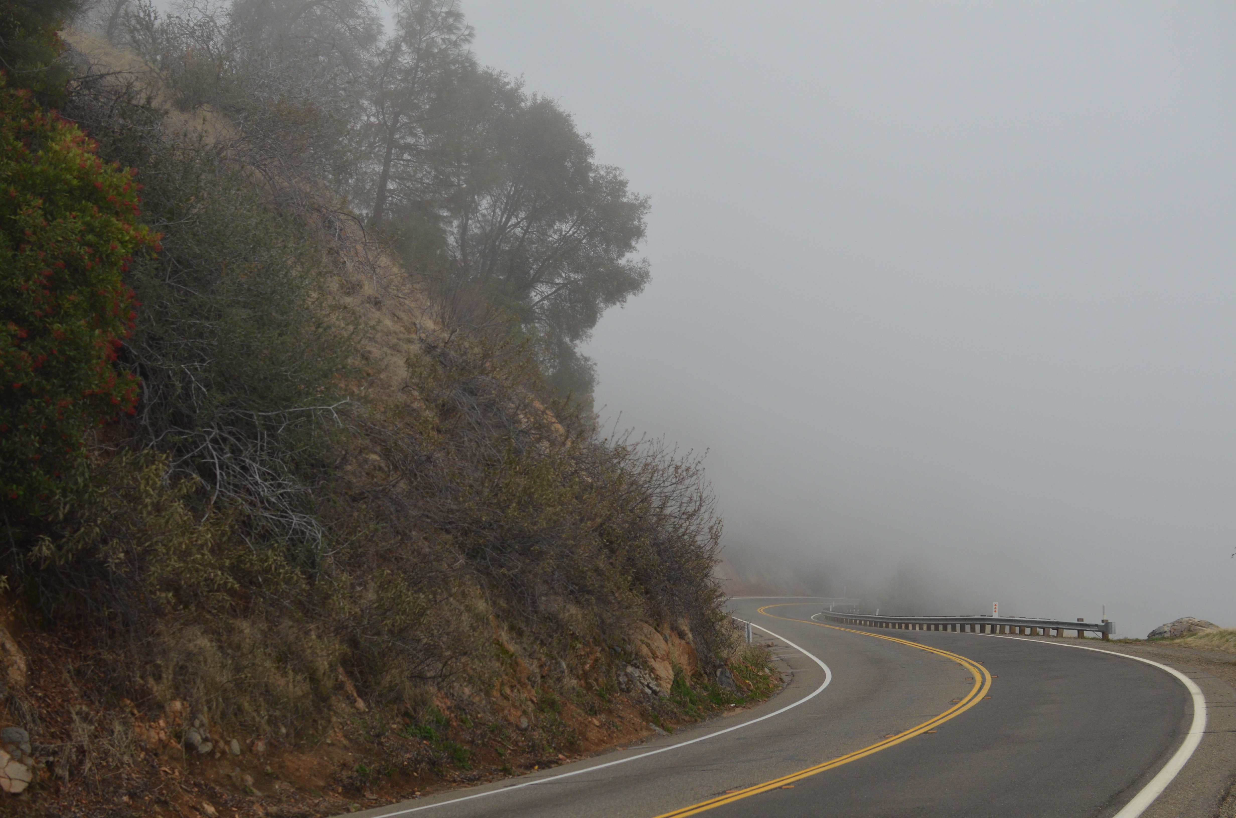
Curves Hwy.49

Merced River 8867

20170829_1819_PENTAX K-1_7215_400 mm_8stacked_2018_02_14_03_03_19

Yosemite National Park

P1000320 - Yosemite

Merced River 8875
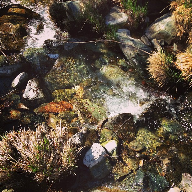
Flowing Water
Topographic Map of Morning Star Ln, Mariposa, CA, USA
Find elevation by address:

Places near Morning Star Ln, Mariposa, CA, USA:
Morning Star Lane
3974 Van Ness
Butterfly Ridge Road
5350 Allred Rd
5550 Silva Rd
5232 Allred Rd
Spring Hill High School
5235 Allred Rd
3985 Memory Ln
6099 Carter Rd
5150 Allred Rd
5150 Allred Rd
5094 Allred Rd
4894 Buckingham Mountain Rd
5857 Allred Rd
5110 Silva Rd
Allred Rd & Slaughter House Rd
Buckingham Mountain Road
Buckingham Mountain Road
Buckingham Mountain Road
Recent Searches:
- Elevation of 10370, West 107th Circle, Westminster, Jefferson County, Colorado, 80021, USA
- Elevation of 611, Roman Road, Old Ford, Bow, London, England, E3 2RW, United Kingdom
- Elevation of 116, Beartown Road, Underhill, Chittenden County, Vermont, 05489, USA
- Elevation of Window Rock, Colfax County, New Mexico, 87714, USA
- Elevation of 4807, Rosecroft Street, Kempsville Gardens, Virginia Beach, Virginia, 23464, USA
- Elevation map of Matawinie, Quebec, Canada
- Elevation of Sainte-Émélie-de-l'Énergie, Matawinie, Quebec, Canada
- Elevation of Rue du Pont, Sainte-Émélie-de-l'Énergie, Matawinie, Quebec, J0K2K0, Canada
- Elevation of 8, Rue de Bécancour, Blainville, Thérèse-De Blainville, Quebec, J7B1N2, Canada
- Elevation of Wilmot Court North, 163, University Avenue West, Northdale, Waterloo, Region of Waterloo, Ontario, N2L6B6, Canada
- Elevation map of Panamá Province, Panama
- Elevation of Balboa, Panamá Province, Panama
- Elevation of San Miguel, Balboa, Panamá Province, Panama
- Elevation of Isla Gibraleón, San Miguel, Balboa, Panamá Province, Panama
- Elevation of 4655, Krischke Road, Schulenburg, Fayette County, Texas, 78956, USA
- Elevation of Carnegie Avenue, Downtown Cleveland, Cleveland, Cuyahoga County, Ohio, 44115, USA
- Elevation of Walhonding, Coshocton County, Ohio, USA
- Elevation of Clifton Down, Clifton, Bristol, City of Bristol, England, BS8 3HU, United Kingdom
- Elevation map of Auvergne-Rhône-Alpes, France
- Elevation map of Upper Savoy, Auvergne-Rhône-Alpes, France