Elevation of Mariposa, CA, USA
Location: United States > California > Mariposa County >
Longitude: -119.96628
Latitude: 37.4849377
Elevation: 588m / 1929feet
Barometric Pressure: 94KPa
Elevation Map:
Satellite Map:
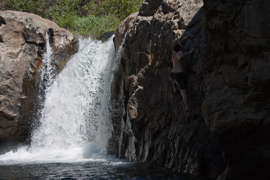
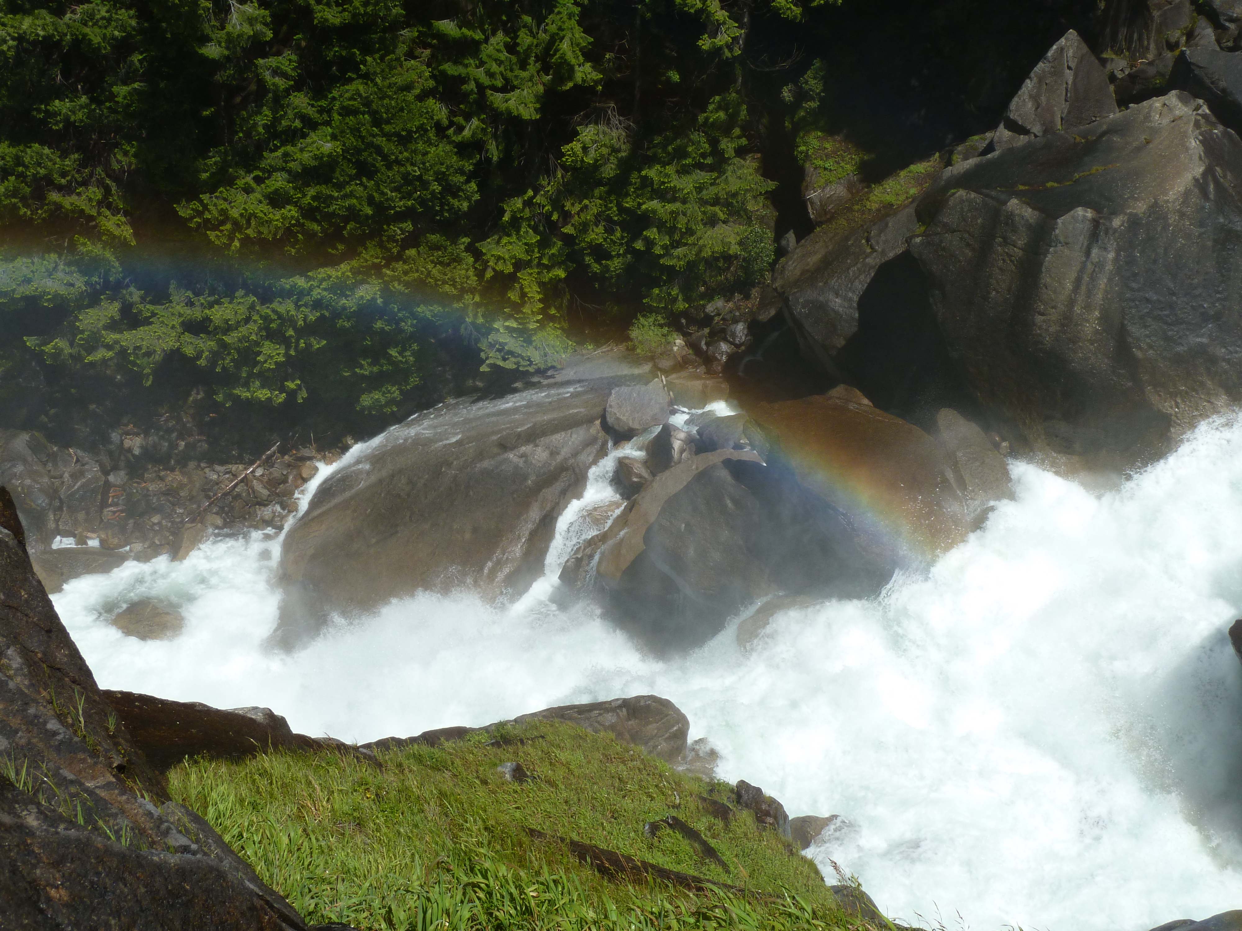
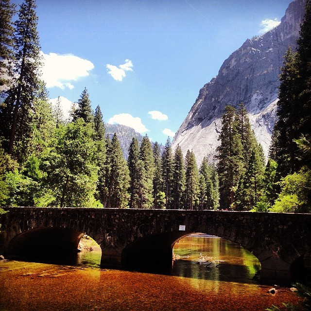
Related Photos:
Ominous Sky
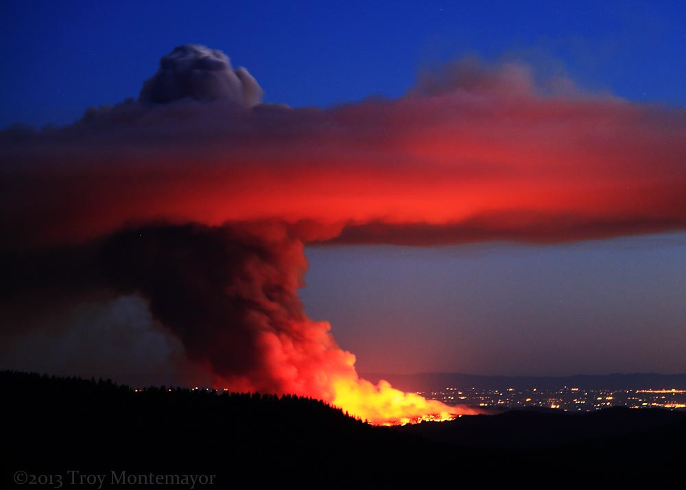
Carstens Fire, Mariposa County, CA
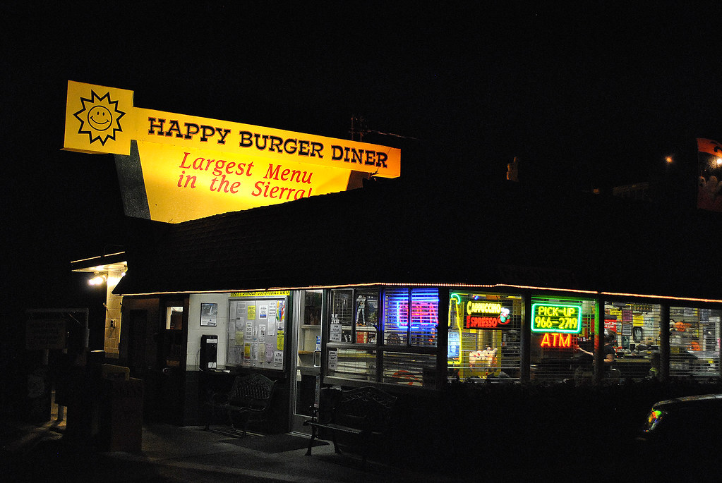
Largest Menu in the Sierra
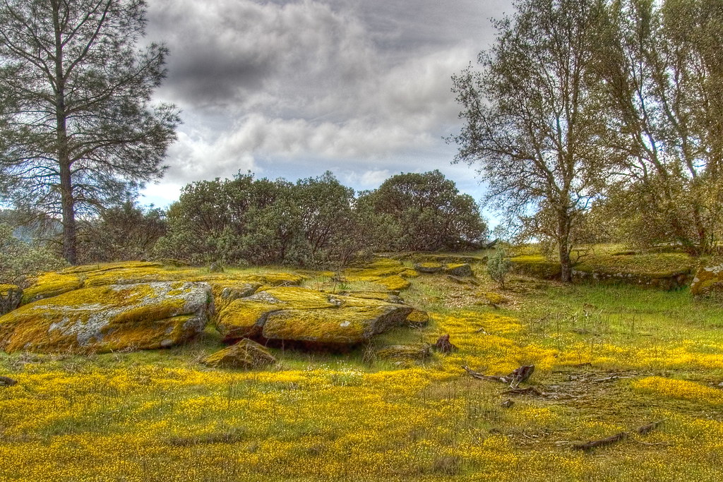
Spring Flowers

Cruising for Burgers
Self Portrait
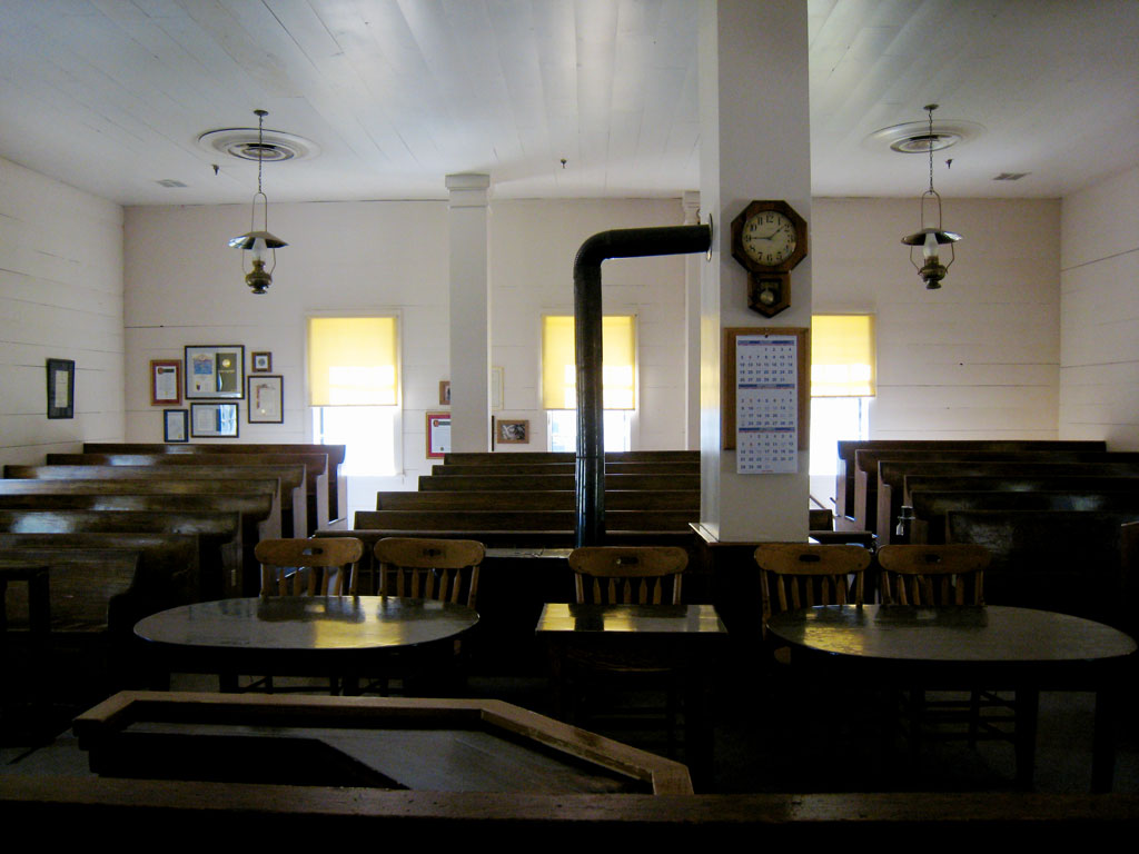
St. Joseph's Church, Mariposa
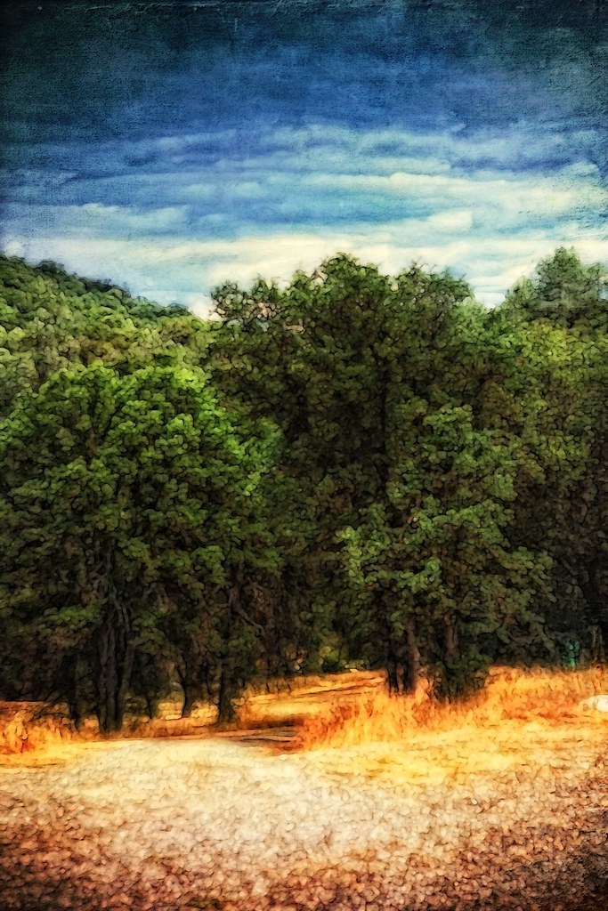
The Sierra Foothills
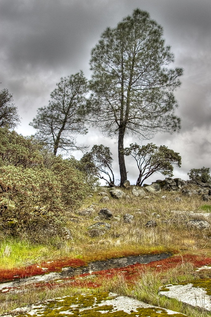
Red Moss

3d Striped Rock (view it large or original)
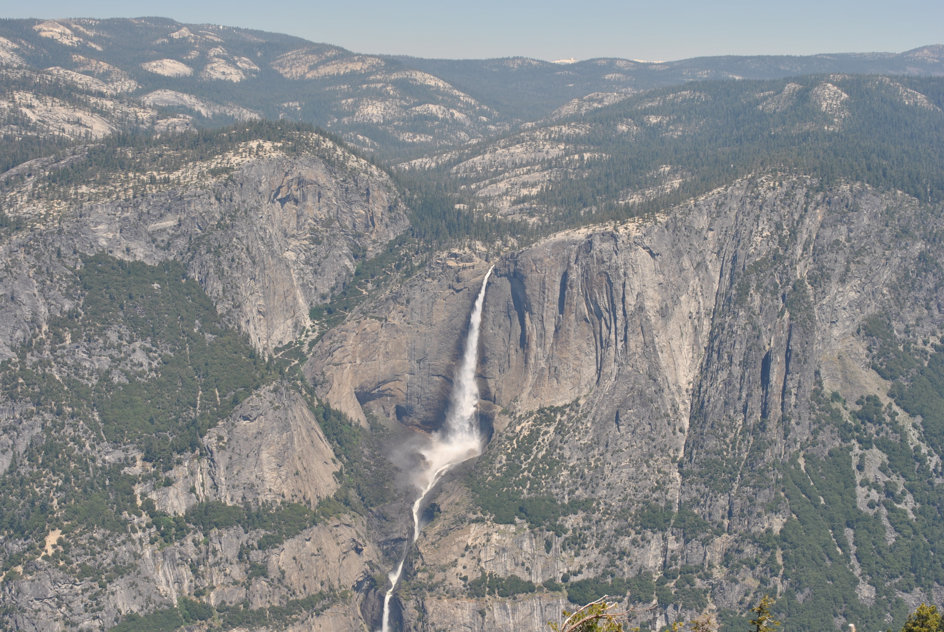
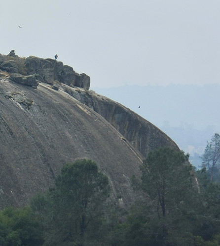
From atop the Sentinel Dome
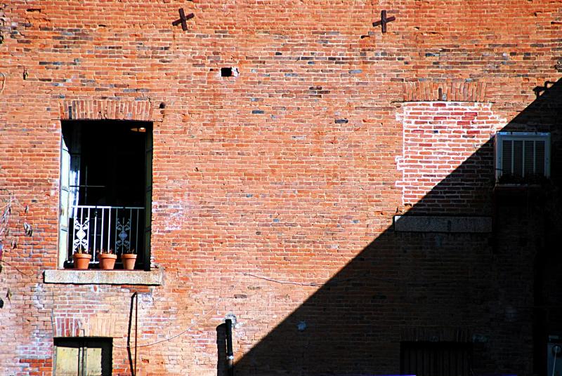
day 16 - brick building

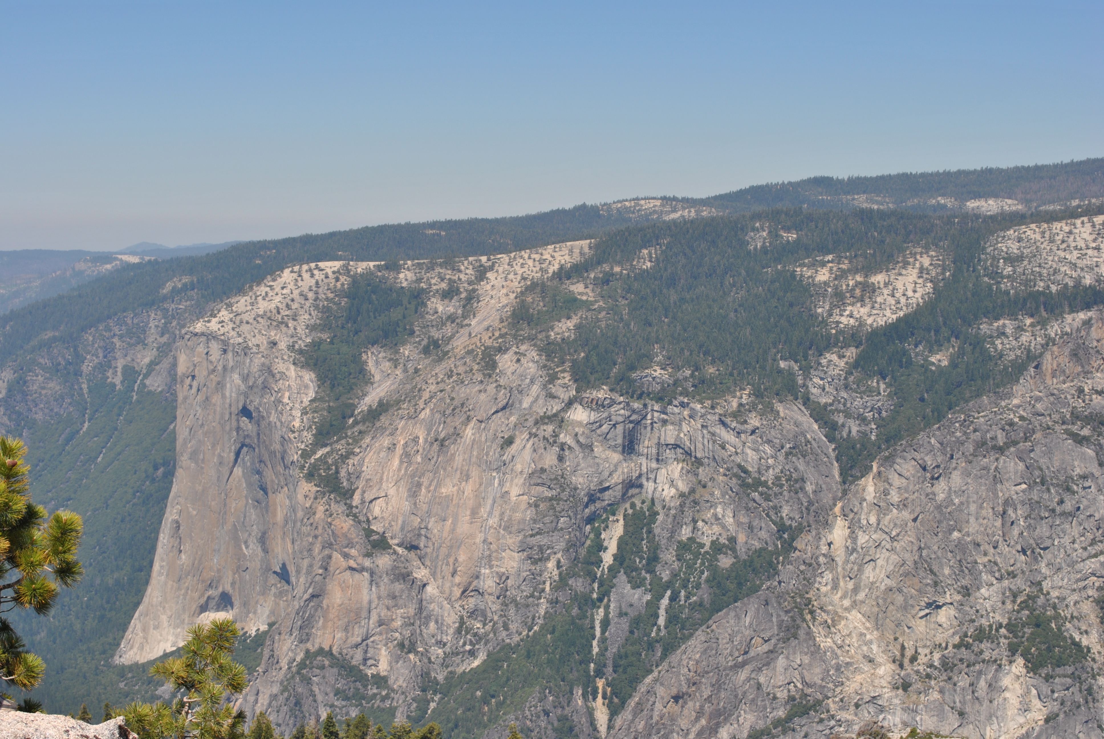
Taken from Tunnel View

Brochymena sulcata stink bug

White-banded Crab Spider male

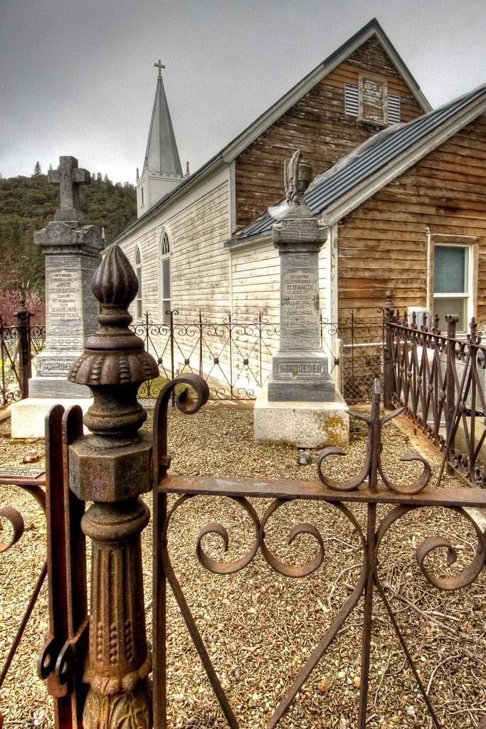
Cemetery, Mariposa
200709018.jpg
As sharp as a knife
A man paints with his brains and not with his hands…

Bad weather always looks worse through a window…
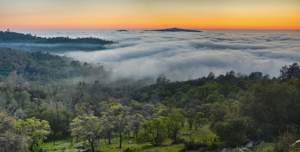
California Fog
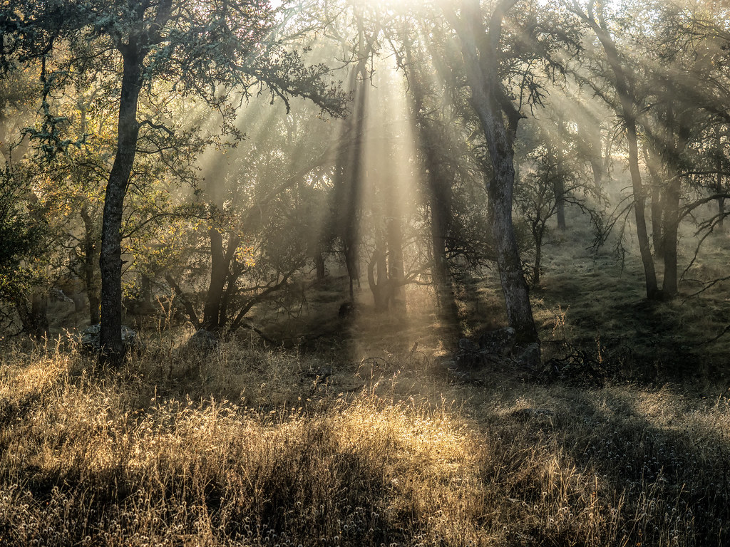
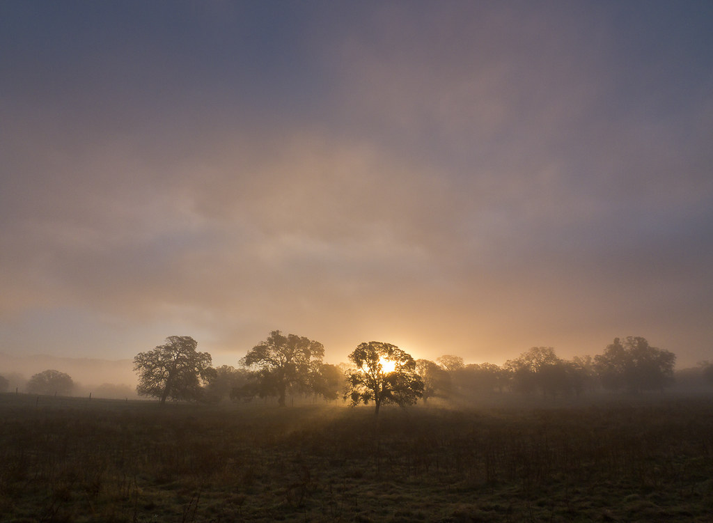
Hornitos Road, Morning in the Forest
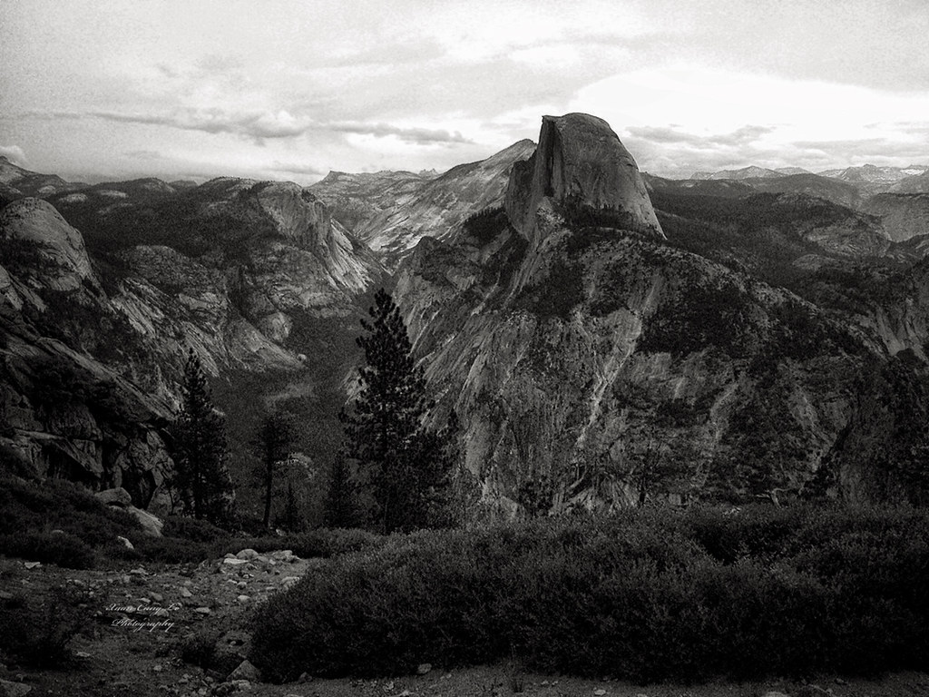
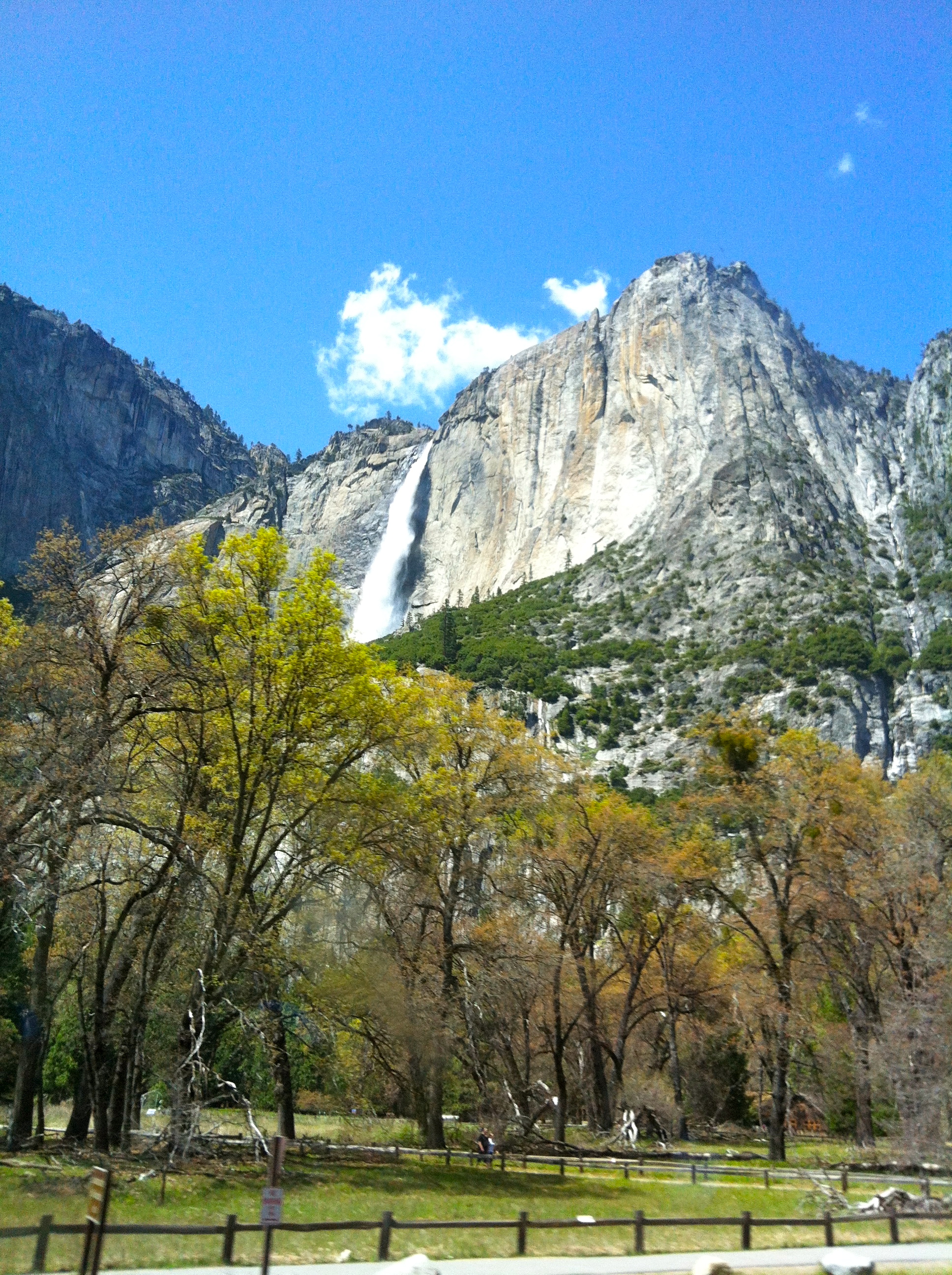
Half Dome, Yosemite National Park, California, USA

Tenaya Lake
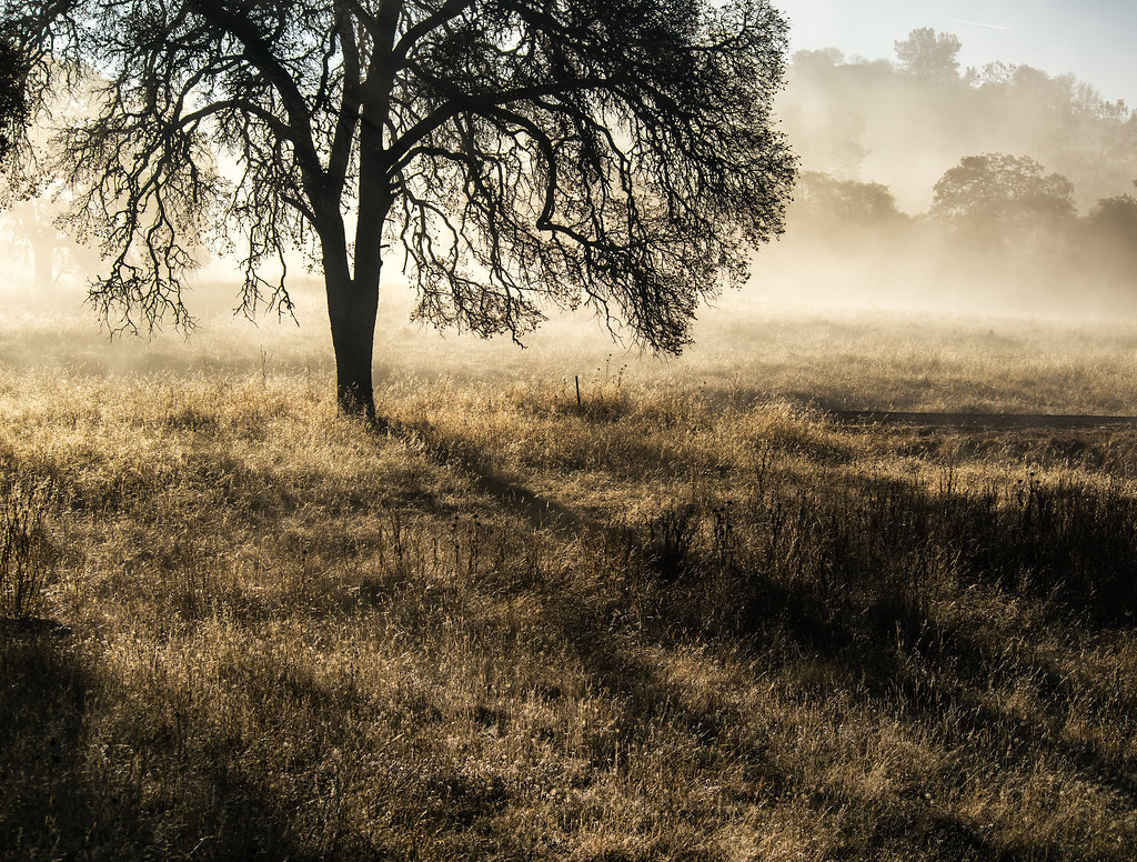
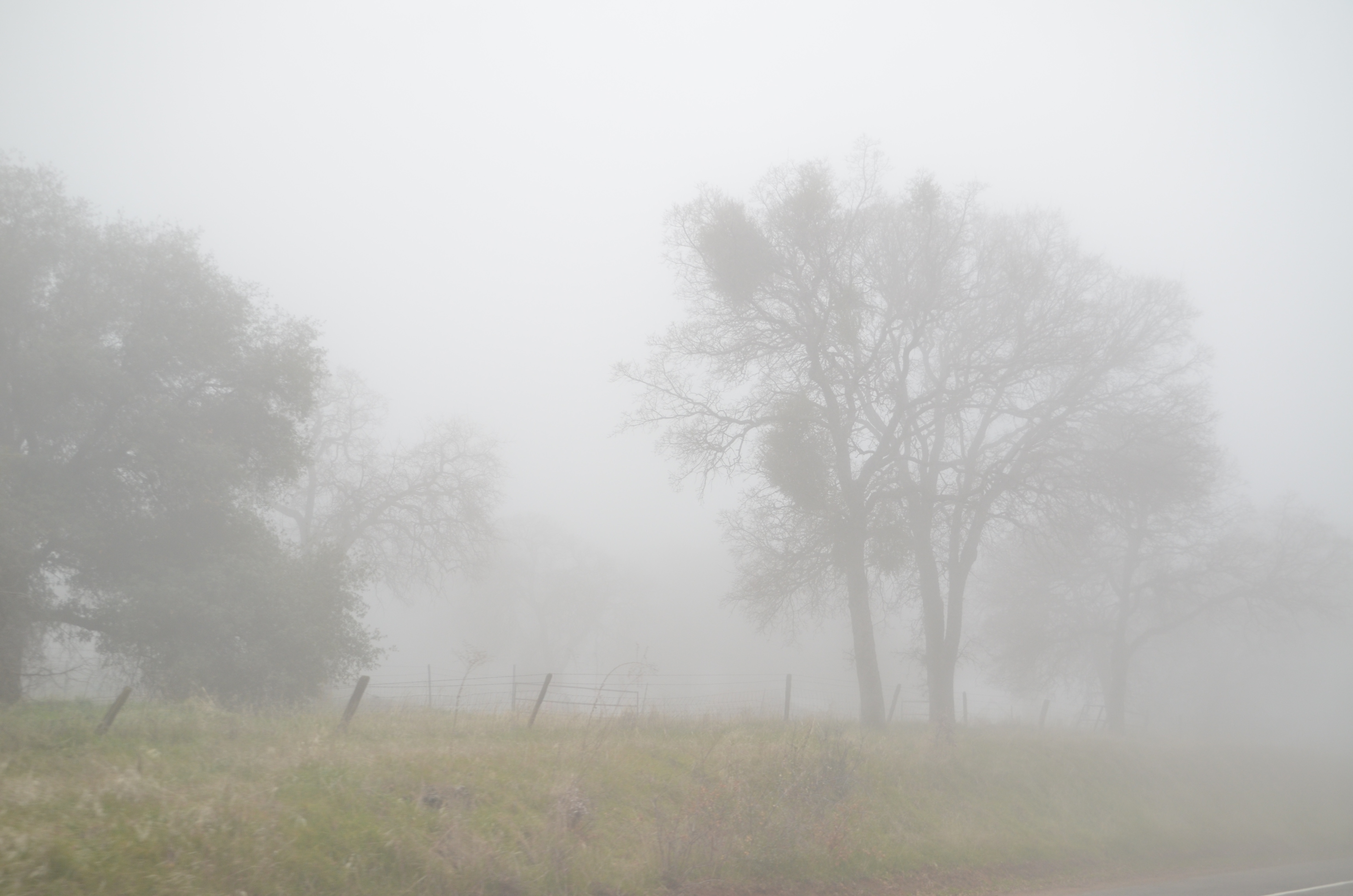
Hornitos Road Oak, Fog #1
#2 Oaks in Sunrise Fog, Cathy's Valley, CA 140

Hornitos Road, Morning in the Forest #2A
2009 Cali Road Trip - 130

Hornitos Road Oak, Fog #2
I'll paint a better picture of the woods with you in it.

Hornitos Road Oak, Fog #3
_MG_7359.jpg
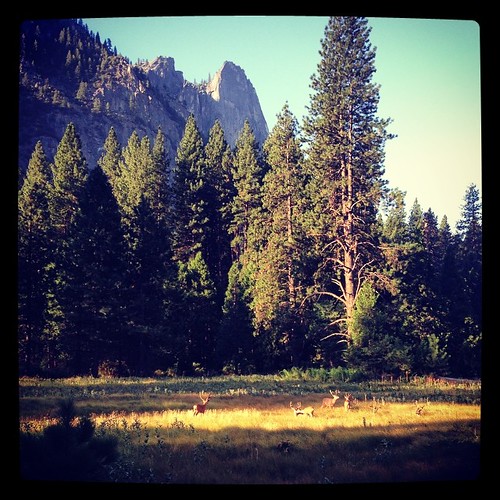
I was treated to a herd of mule deer hanging out this morning in Yosemite.

Flowing Water
P1000316 - Yosemite
#yosemite #park #california
IMG_3905.JPG

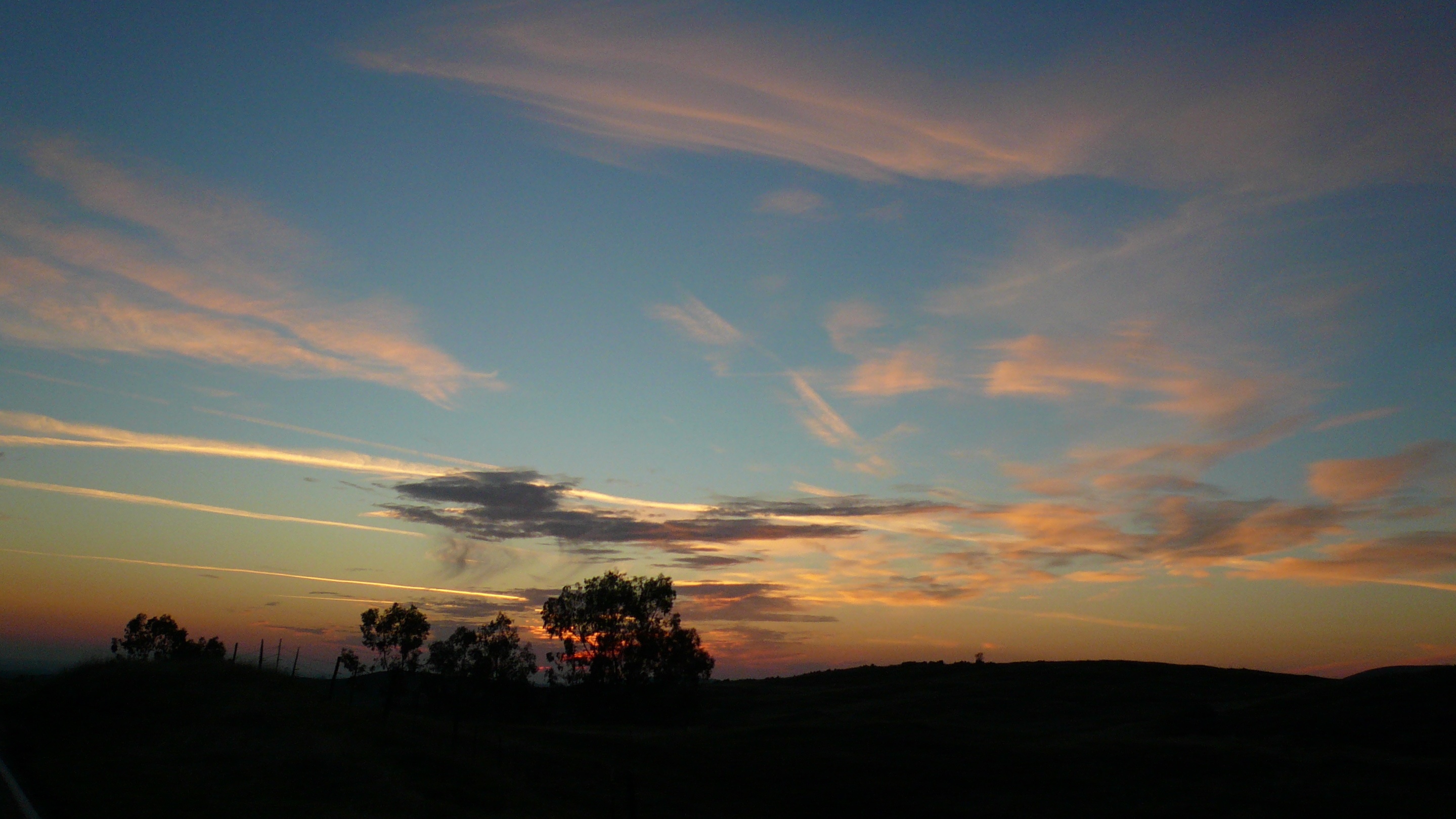
Oak silhouette and sunset, Catheys Valley (Sierra Foothills)
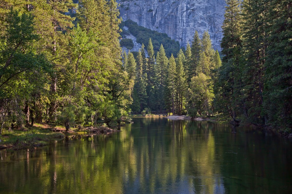
Merced River, Yosemite

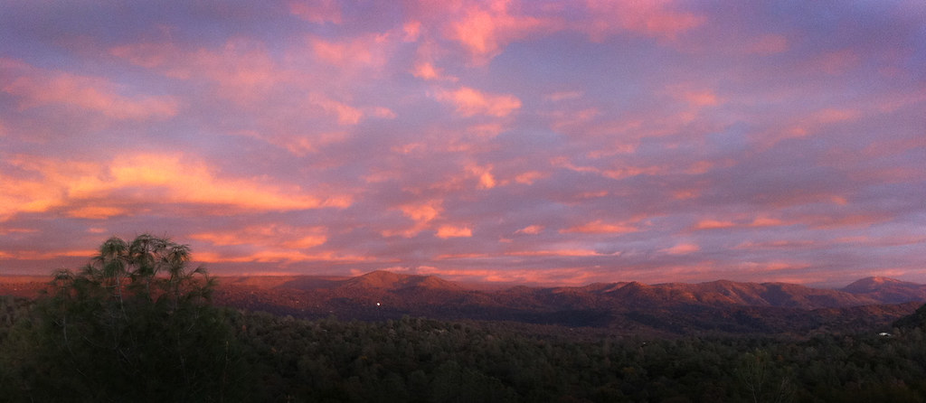
sunset above Midpines CA
Topographic Map of Mariposa, CA, USA
Find elevation by address:

Places in Mariposa, CA, USA:
Darrah Rd, Mariposa, CA, USA
CA-, Mariposa, CA, USA
4613-4613a
Glacier Point
Bear Valley Rd, Mariposa, CA, USA
Indian Peak Road
CA-, Mariposa, CA, USA
Chowchilla Mountain Rd, Mariposa, CA, USA
Mt Bullion Cutoff Rd, Mariposa, CA, USA
CA-49, Mariposa, CA, USA
Digger Pine Drive
Snyder Ridge Road
Morning Star Lane
Meadow Lane
Bullion Street
6th Street
Spring Creek Road
Ashworth Road
Harris Road
Little Bear Road
Tiptop Road
Tip Top Road
Best Road
East Whitlock Road
Paso Pass Road
Stumpfield Mountain Road
Buckingham Mountain Road
Buckingham Mountain Road
Buckingham Mountain Road
Paddy Hill Road
Usona Road
Scott Road
Pine Top Drive
Battalion Pass
Footman Ridge
Elliott Corner
Crow Peak
Devil Peak
Usona Road & California 49
Mariposa, CA, USA
Jerseydale Road
Old Oak Lane
Watt Road
Bumguardner Mountain Road
Cya Road
Butterfly Ridge Road
Lookout Mountain Road
Places near Mariposa, CA, USA:
Mariposa Public Utility District
6th Street
Chocolate Soup
5057 Jones St
Bullion Street
Mariposa County
Mariposa County Library
5052 Martin Rd
5058 Martin Rd
Rite Aid
5118 Fournier Rd
5115 Mueller Rd
5232 Mueller Ct
Bumguardner Mountain Road
5137 Stockton Creek Rd
4613-4613a
Mormon Bar
4922 Paso Del Oso
4585 Ben Hur Rd
4547 Varain Rd
Recent Searches:
- Elevation of Corso Fratelli Cairoli, 35, Macerata MC, Italy
- Elevation of Tallevast Rd, Sarasota, FL, USA
- Elevation of 4th St E, Sonoma, CA, USA
- Elevation of Black Hollow Rd, Pennsdale, PA, USA
- Elevation of Oakland Ave, Williamsport, PA, USA
- Elevation of Pedrógão Grande, Portugal
- Elevation of Klee Dr, Martinsburg, WV, USA
- Elevation of Via Roma, Pieranica CR, Italy
- Elevation of Tavkvetili Mountain, Georgia
- Elevation of Hartfords Bluff Cir, Mt Pleasant, SC, USA