Elevation of Ben Hur Rd, Mariposa, CA, USA
Location: United States > California > Mariposa County > Mariposa >

Longitude: -119.94986

Latitude: 37.457629

Elevation: 538m / 1765feet

Barometric Pressure: 95KPa

Elevation Map:

elevation map of Ben Hur Rd, Mariposa, CA, USA
Satellite Map:

Satellite map of Ben Hur Rd, Mariposa, CA, USA

Related Photos:

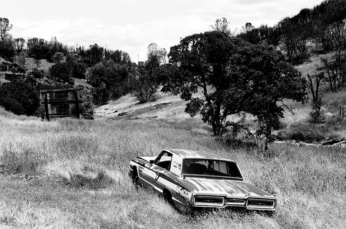
sortie de route yosemite catheys valley californie nikon fm 135 kodak tmax 400 iso mai 2018 étatsunis © ludovic macioszczyk usa film argentique lumière 35mm noir et blanc monochrome california voyage vacances grain road view amérique photography analog life west coast highway 140 landscape
Sortie de Route / Catheys Valley - Californie
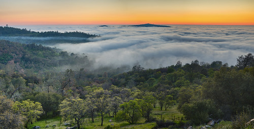
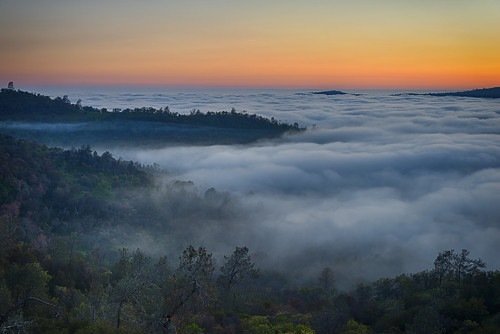
sunset cliff forest valley goldenhour centralvalley catheysvalley cloudinversion
A man paints with his brains and not with his hands…
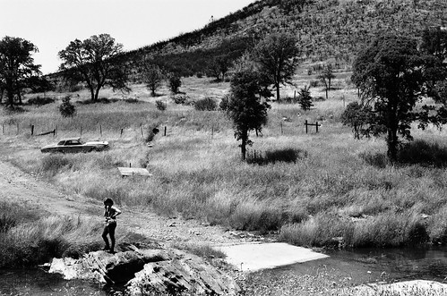
sortie de route yosemite catheys valley californie nikon fm 135 kodak tmax 400 iso mai 2018 étatsunis © ludovic macioszczyk usa film argentique lumière 35mm noir et blanc monochrome california voyage vacances grain road view amérique photography analog life west coast highway 140 landscape
Sortie de Route / Catheys Valley - Californie
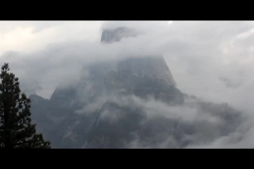
yosemite yosemitenationalpark nps nationalpark california cali westcoast yosenps natural nature mountain range waterfalls waterfall fog cloudy video timelapse hyperlapse clouds high vantage view tourism tourist hiking tripod longvideo compressed halfdome halfdomeyosemite us usa ca rocks rock cliffs beauty naturalbeauty conservation green gray silver blue sky panorama peaceful serene
Yosemite National Park - Glacier Point Timelapse
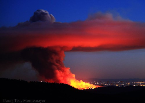
california longexposure trees sky mountains silhouette horizontal night forest landscape fire lights glow unitedstates smoke flames merced yosemite northamerica yosemitenationalpark centralvalley sanjoaquinvalley sierranevadamountains mariposacounty glacierpointroad 4cornersphoto carstensfire
Carstens Fire, Mariposa County, CA
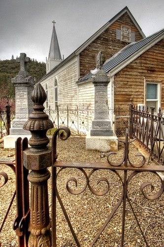
california travel foothills church cemetery sierra stjosephs mariposa hdr highdynamicrange sdosremedios stevendosremedios size3x2 wiredeye
St. Joseph's Church, Mariposa
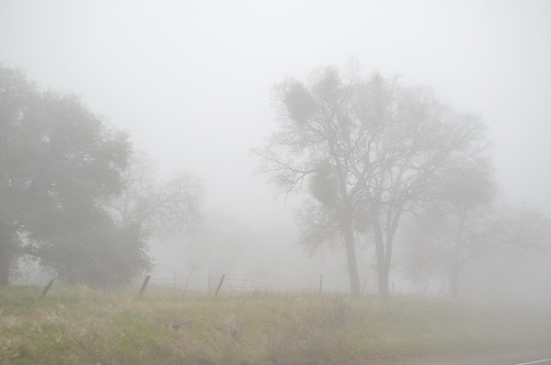
california ca
California Fog
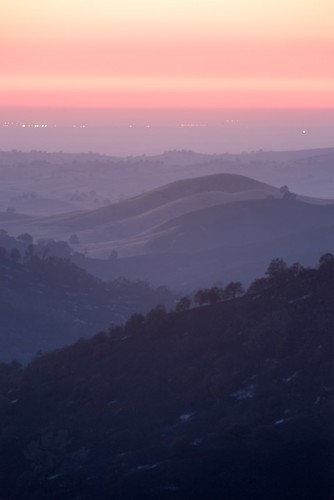
trees sunset fog twilight hills rolling goldenhour yosemitevalley catheysvalley cathaysvalley
Bad weather always looks worse through a window…
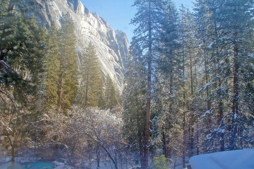
california winter snow ice nationalpark yosemite viewfromhotelwindow
Yosemite In The Winter
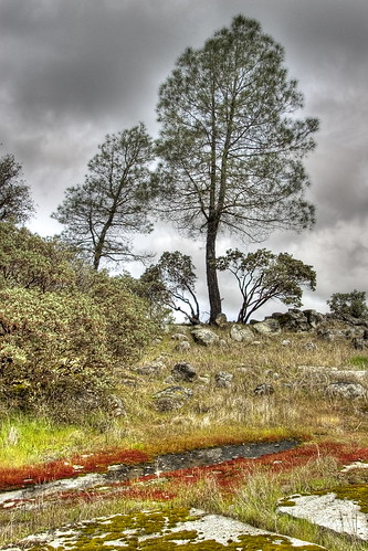
california travel foothills northerncalifornia landscape sierra mariposa hdr highdynamicrange sdosremedios restfulnest size3x2 wiredeye
Red Moss
sunset mariposa stripedrockranch
The Sierra Foothills
california ca
California 011
california ca
California 024
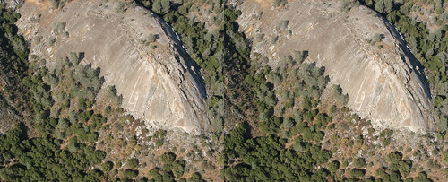
3d mariposa stripedrock
3d Striped Rock (view it large or original)
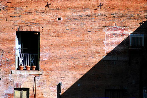
california shadow building lines project balcony bricks pad photoaday mariposa oldbuilding goldrush historicalbuilding goldcountry
day 16 - brick building
california ca
California 026
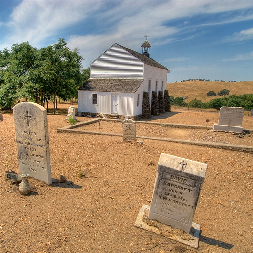
california cemetery graveyard tombstone mariposa hdr highdynamicrange sdosremedios size1x1 ©stevendosremedios wiredeye
Cemetery, Mariposa
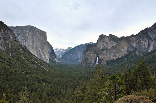
yosemite halfdome elcapitan bridalveilfalls tunnelview
Taken from Tunnel View
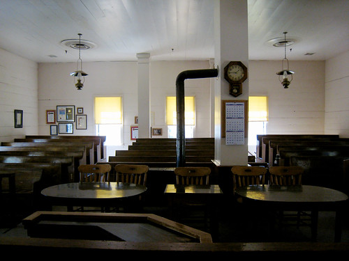
mariposa courtroom mariposacountycourthouse californiahistoricallandmark september12007 judgesview chl670
200709018.jpg
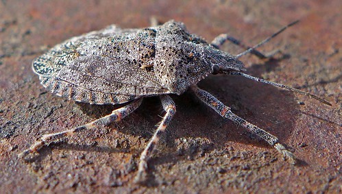
bug brochymena stink sulcata pentatomidae
Brochymena sulcata stink bug
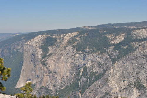
california yosemite
As sharp as a knife
bridge northerncalifornia river landscape scenery coveredbridge yubariver bridgeportca bridgeportcoveredbridge nevadacountyca canon7d
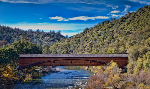
The Covered Bridge at Bridgeport
mariposa hdr nikkor2470mmvr nikond810 scenery d810 flickr digital california unitedstates us nikonfx fx nikkor wideangle 24mm
The Drive
Sierra Nevada 2017.
california county morning light foothills mist fog forest sunrise landscape dawn woods ngc sierra mariposa beams crepuscularrays nationalgeographic catheysvalley mercedcounty worldtrekker treesdiestandingup hornitosroad
Hornitos Road, Morning in the Forest #2A
california morning trees foothills mist grass fog landscape oak shadows sierra oaks catheysvalley mercedcounty treesdiestandingup hornitosroad
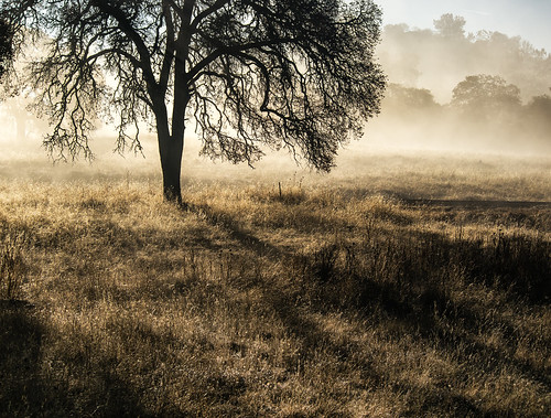
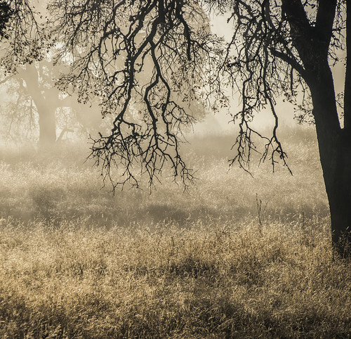
Hornitos Road Oak, Fog #1
california road morning autumn mist fall fog forest sunrise landscape oak ngc crepuscularrays nationalgeographic hornitos godbeams godrays godslight catheysvalley hornitosroad
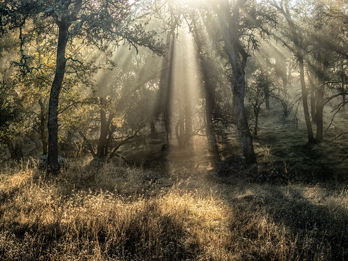
Hornitos Road, Morning in the Forest
california morning autumn trees mist tree fall grass fog forest landscape merced olympus oaks mfcc catheysvalley 40150 mercedcounty treesdiestandingup hornitosroad
Hornitos Road Oak, Fog #3
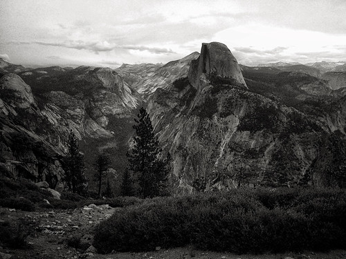
Half Dome, Yosemite National Park, California, USA
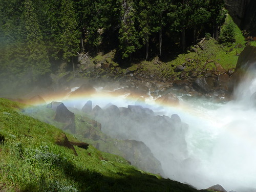
california trees foothills mist fog sunrise landscape ngc panasonic oaks mariposa catheysvalley mercedcounty highway140 diamondclassphotographer flickrdiamond dmclx5
#2 Oaks in Sunrise Fog, Cathy's Valley, CA 140
california
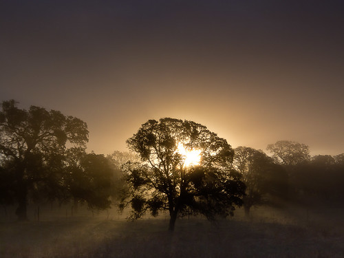
California (knows how to party)
_MG_7359.jpg
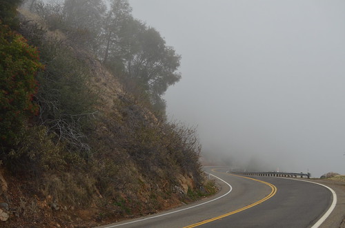
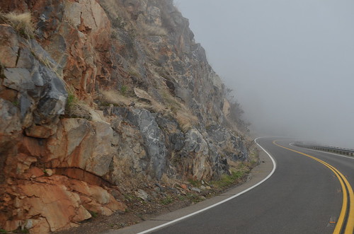
Curves Hwy.49
california snow forest woods yosemite sequoia inthewoods topazfilters landscapewithoutanypeople
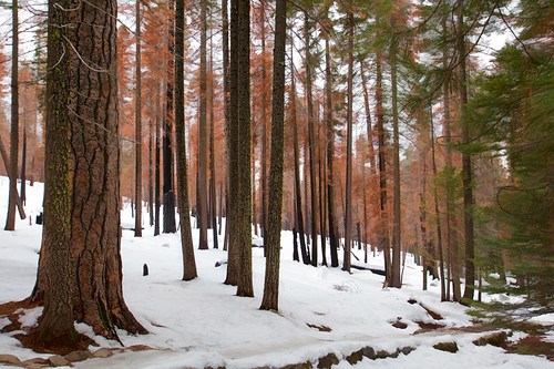
I'll paint a better picture of the woods with you in it.
20170829_1819_PENTAX K-1_7215_400 mm_8stacked_2018_02_14_03_03_19
ca unitedstates yosemite
P1000346 - Yosemite
park autumn fall yellow forest landscape national yosemite
Yosemite National Park
ca unitedstates yosemite
P1000320 - Yosemite
california trees mist fog sunrise landscape oak merced sierra catheysvalley highway140 cloudsstormssunsetssunrises
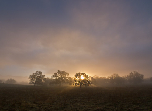
Oaks in Sunrise Fog, Cathy's Valley, CA 140 (redo)