Elevation of Montgomery County, IL, USA
Location: United States > Illinois >
Longitude: -89.474217
Latitude: 39.2363688
Elevation: 204m / 669feet
Barometric Pressure: 99KPa
Elevation Map:
Satellite Map:
Related Photos:

~Dark Night~

Green Sunset

Front view of my house

~At Days End~

Driving at sunset.

Possibility #57: Penelope at Lake Lou Yaeger 07272014

~Near The End~

~The Cabin In The Woods~

~Dark Sky~

~Summer On The Lake~
Site of the crash

February Cumulus

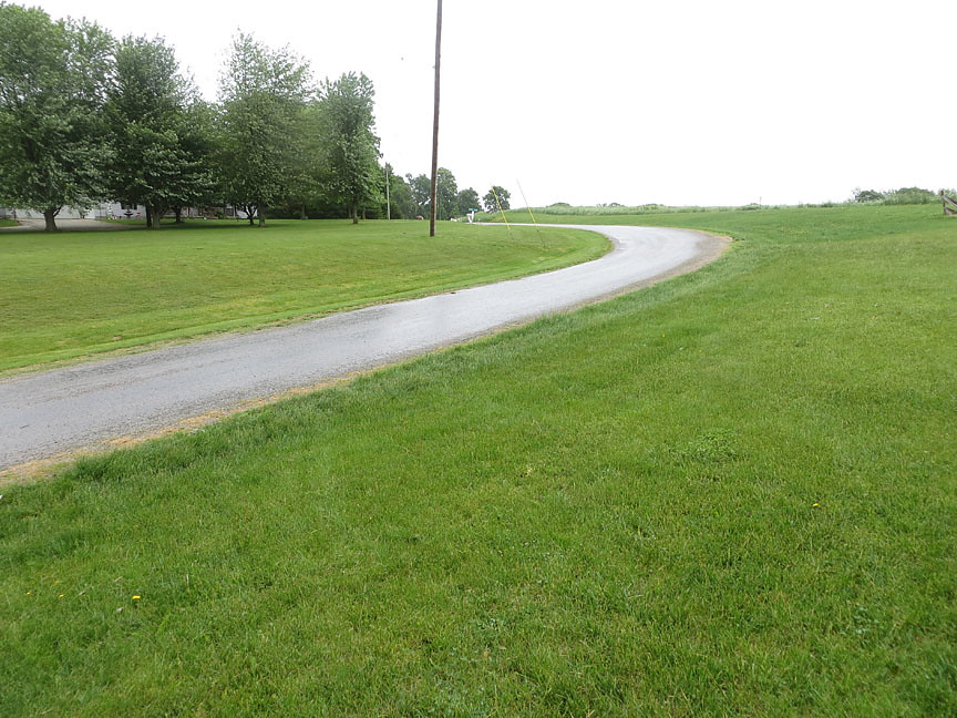
farming country
Topographic Map of Montgomery County, IL, USA
Find elevation by address:

Places in Montgomery County, IL, USA:
Bois D'arc Township
Raymond Township
Nokomis Township
Butler Grove Township
Fillmore Township
Harvel Township
Hillsboro Township
Kortkamp Rd, Hillsboro, IL, USA
W Frontage Rd, Raymond, IL, USA
Spring St, Hillsboro, IL, USA
Litchfield
Waggoner
Places near Montgomery County, IL, USA:
Butler Grove Township
Butler
Water St, Butler, IL, USA
Kortkamp Rd, Hillsboro, IL, USA
1 Courthouse Square, Hillsboro, IL, USA
Hillsboro
Raymond Township
Spring St, Hillsboro, IL, USA
Hillsboro Township
Raymond
E Broad St, Raymond, IL, USA
Harvel
Monroe St, Harvel, IL, USA
W Frontage Rd, Raymond, IL, USA
Nokomis Township
Litchfield
Nokomis
E State St, Nokomis, IL, USA
Fillmore Township
W Fillmore St, Fillmore, IL, USA
Recent Searches:
- Elevation of Corso Fratelli Cairoli, 35, Macerata MC, Italy
- Elevation of Tallevast Rd, Sarasota, FL, USA
- Elevation of 4th St E, Sonoma, CA, USA
- Elevation of Black Hollow Rd, Pennsdale, PA, USA
- Elevation of Oakland Ave, Williamsport, PA, USA
- Elevation of Pedrógão Grande, Portugal
- Elevation of Klee Dr, Martinsburg, WV, USA
- Elevation of Via Roma, Pieranica CR, Italy
- Elevation of Tavkvetili Mountain, Georgia
- Elevation of Hartfords Bluff Cir, Mt Pleasant, SC, USA