Elevation of Fillmore Township, IL, USA
Location: United States > Illinois > Montgomery County >
Longitude: -89.303714
Latitude: 39.1314836
Elevation: 195m / 640feet
Barometric Pressure: 99KPa
Elevation Map:
Satellite Map:
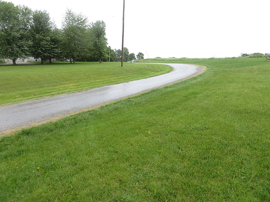
Related Photos:

~Dark Night~

Storm Rolls In Across The Lake

~Dark Sky~

Wheat Fields

Ramsey Lake State Recreation Area - Ramsey, Illinois 1980

~Near The End~

~At Days End~

Coffeen Powerplant in HDR

Thought this would be a cool shot!
Site of the crash

Park Area 5 - Ramsey Lake State Recreation Area - Ramsey, Illinois - 1980
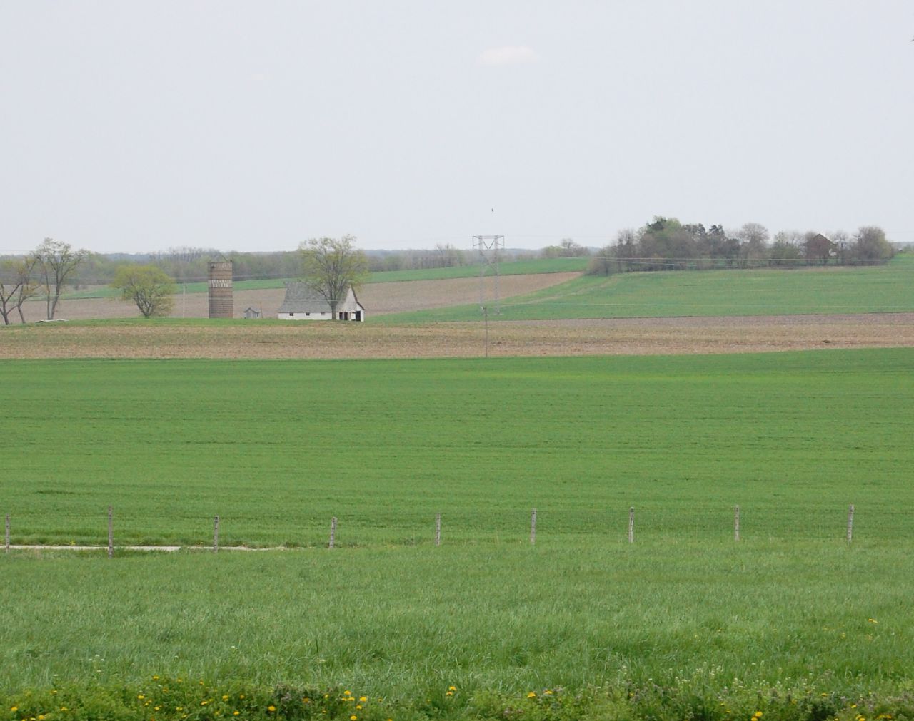
farming country
Topographic Map of Fillmore Township, IL, USA
Find elevation by address:

Places in Fillmore Township, IL, USA:
Places near Fillmore Township, IL, USA:
W Fillmore St, Fillmore, IL, USA
Fillmore
County Rd N, Bingham, IL, USA
Shafter Township
Kortkamp Rd, Hillsboro, IL, USA
Nokomis Township
Nokomis
E State St, Nokomis, IL, USA
IL-, Vandalia, IL, USA
Spring St, Hillsboro, IL, USA
1 Courthouse Square, Hillsboro, IL, USA
Hillsboro
Montgomery County
Mulberry Grove
Vera
1096 King Rd
Hillsboro Township
1096 King Rd
IL-, Smithboro, IL, USA
Smithboro
Recent Searches:
- Elevation of Corso Fratelli Cairoli, 35, Macerata MC, Italy
- Elevation of Tallevast Rd, Sarasota, FL, USA
- Elevation of 4th St E, Sonoma, CA, USA
- Elevation of Black Hollow Rd, Pennsdale, PA, USA
- Elevation of Oakland Ave, Williamsport, PA, USA
- Elevation of Pedrógão Grande, Portugal
- Elevation of Klee Dr, Martinsburg, WV, USA
- Elevation of Via Roma, Pieranica CR, Italy
- Elevation of Tavkvetili Mountain, Georgia
- Elevation of Hartfords Bluff Cir, Mt Pleasant, SC, USA