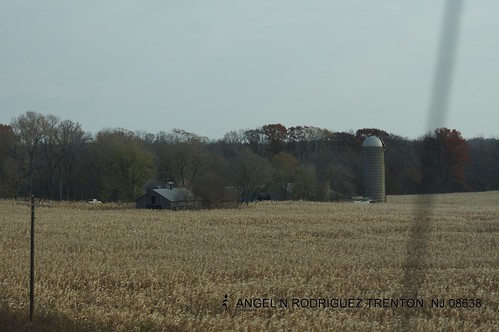
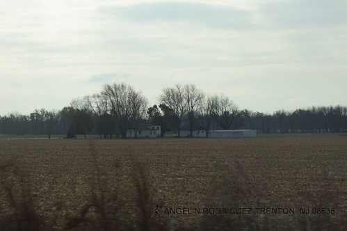
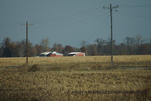
Elevation of IL-, Smithboro, IL, USA
Location: United States > Illinois >
Longitude: -89.341359
Latitude: 38.90029
Elevation: 169m / 554feet
Barometric Pressure: 99KPa
Related Photos:
Topographic Map of IL-, Smithboro, IL, USA
Find elevation by address:

Places near IL-, Smithboro, IL, USA:
Smithboro
1096 King Rd
1096 King Rd
Pleasant Mound Township
Greenville
N 3rd St, Greenville, IL, USA
Mulberry Grove
Central Township
Bond County
Maple St, Carlyle, IL, USA
Irishtown Township
Po Box, Mascoutah, IL, USA
IL-, Vandalia, IL, USA
Shafter Township
W Fillmore St, Fillmore, IL, USA
Fillmore
Boulder Rd, Shattuc, IL, USA
Fillmore Township
817 Old Theater Dr
508 S Cherry St
Recent Searches:
- Elevation of Corso Fratelli Cairoli, 35, Macerata MC, Italy
- Elevation of Tallevast Rd, Sarasota, FL, USA
- Elevation of 4th St E, Sonoma, CA, USA
- Elevation of Black Hollow Rd, Pennsdale, PA, USA
- Elevation of Oakland Ave, Williamsport, PA, USA
- Elevation of Pedrógão Grande, Portugal
- Elevation of Klee Dr, Martinsburg, WV, USA
- Elevation of Via Roma, Pieranica CR, Italy
- Elevation of Tavkvetili Mountain, Georgia
- Elevation of Hartfords Bluff Cir, Mt Pleasant, SC, USA

