Elevation of Bond County, IL, USA
Location: United States > Illinois >
Longitude: -89.474217
Latitude: 38.902985
Elevation: 165m / 541feet
Barometric Pressure: 99KPa
Elevation Map:
Satellite Map:
Related Photos:

Hunky-Dory

Home Again, Home Again, Jiggity Jig
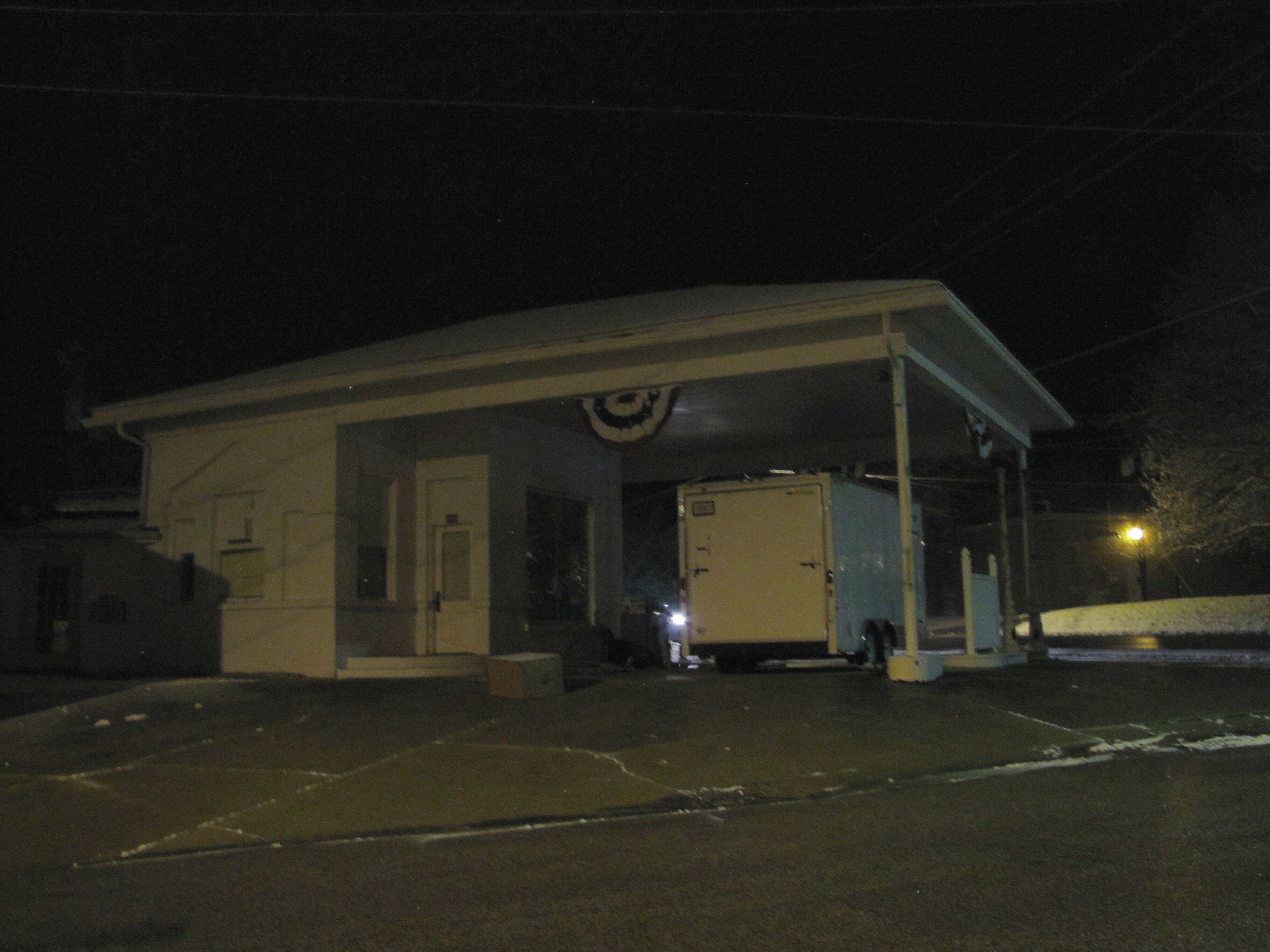
Vintage service station by night

Take the Long Road

2006-07-04 040
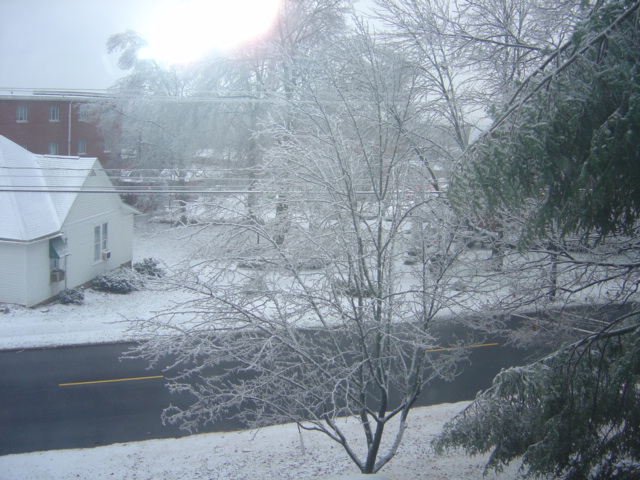
snow & ice.
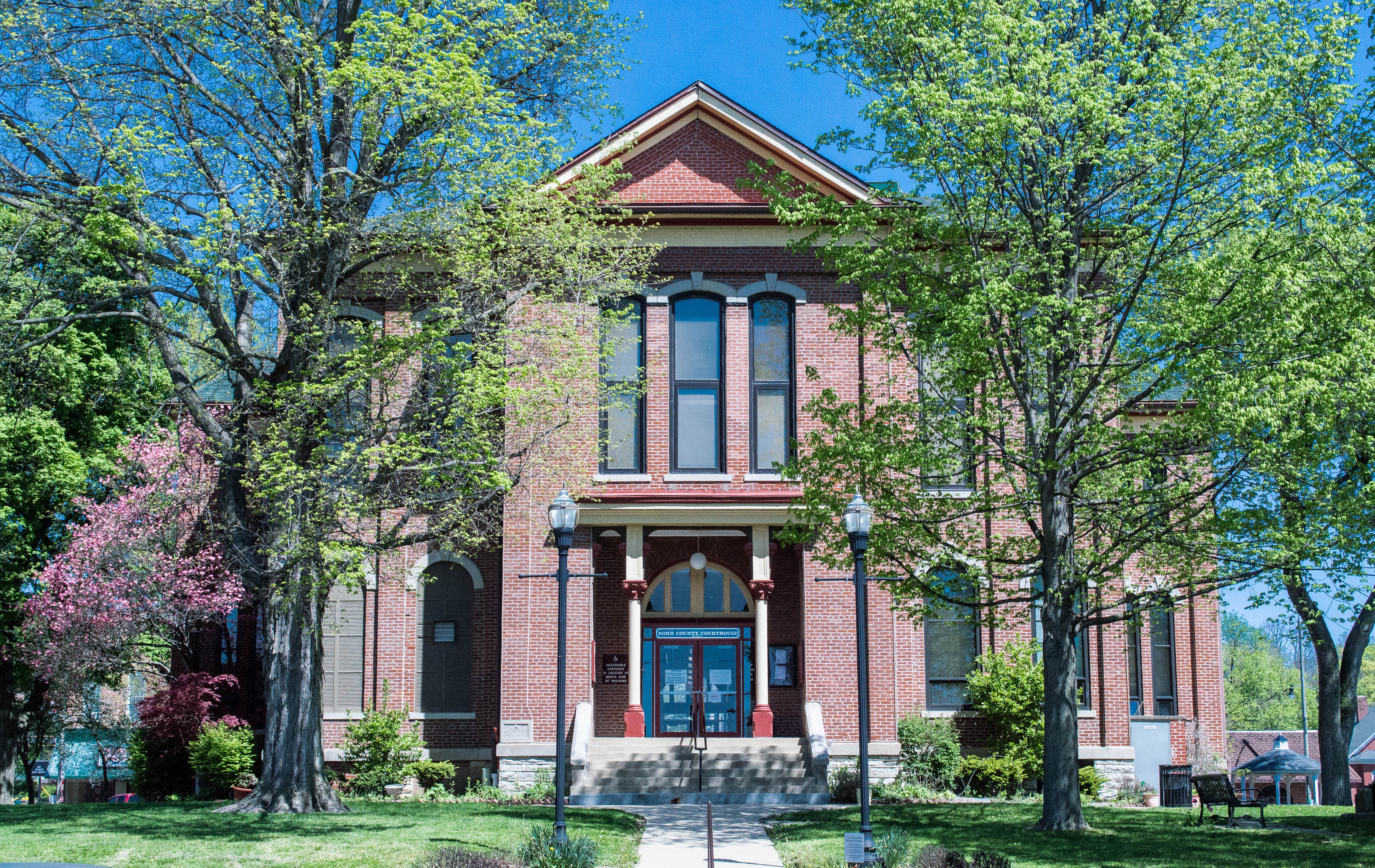
Illinois, Bond County Courthouse
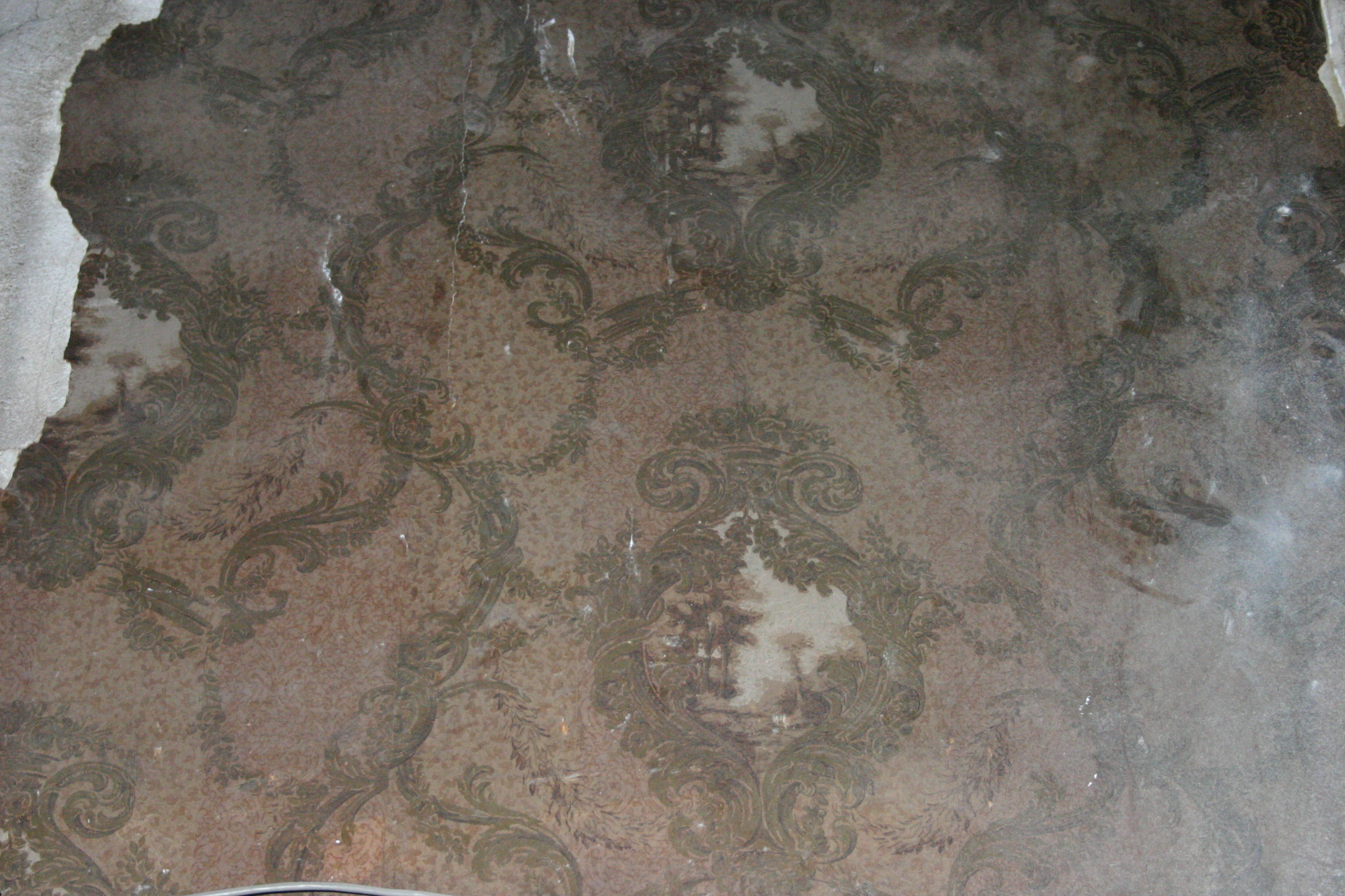
Old Wallpaper
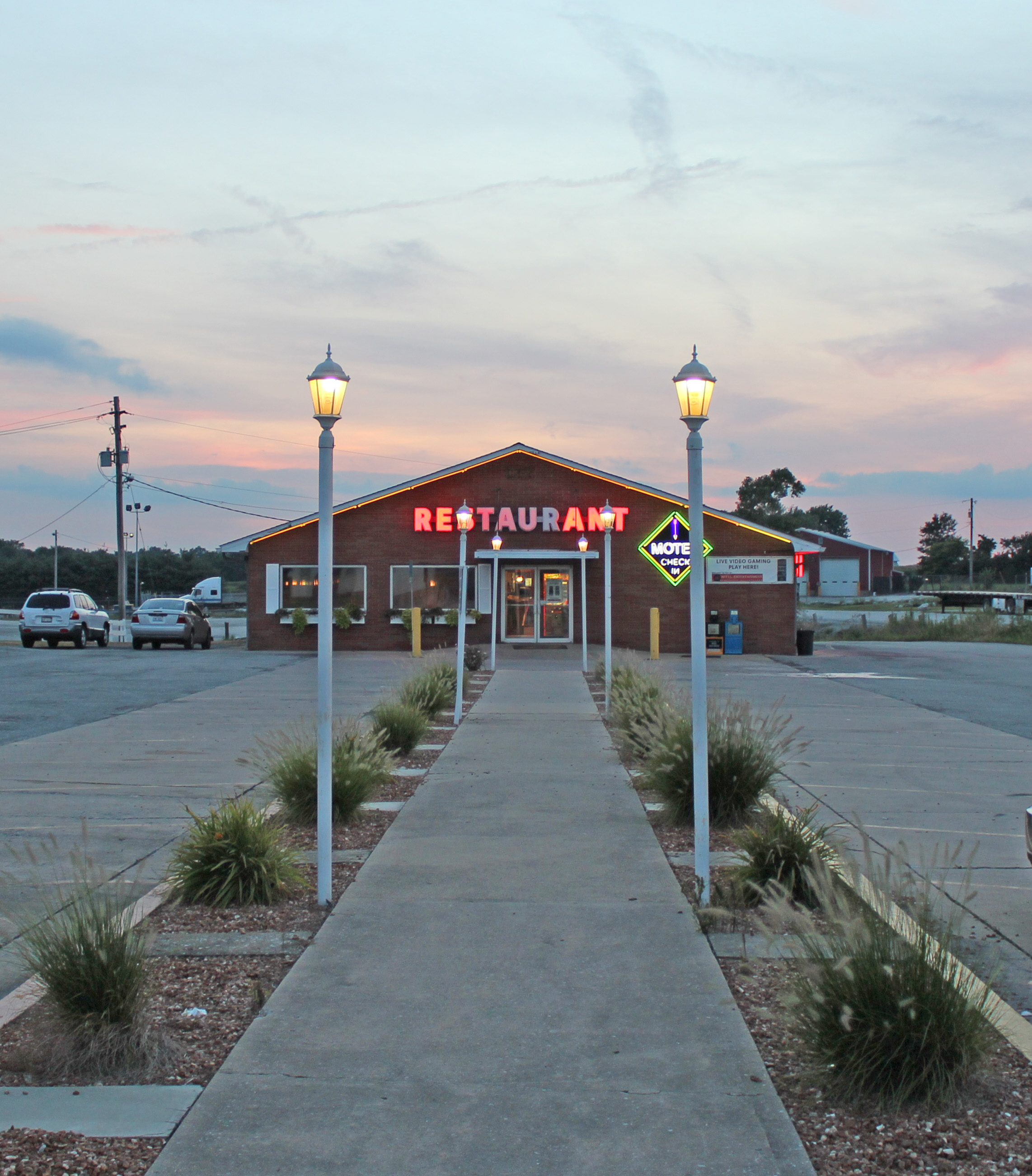
Powhatan Restaurant
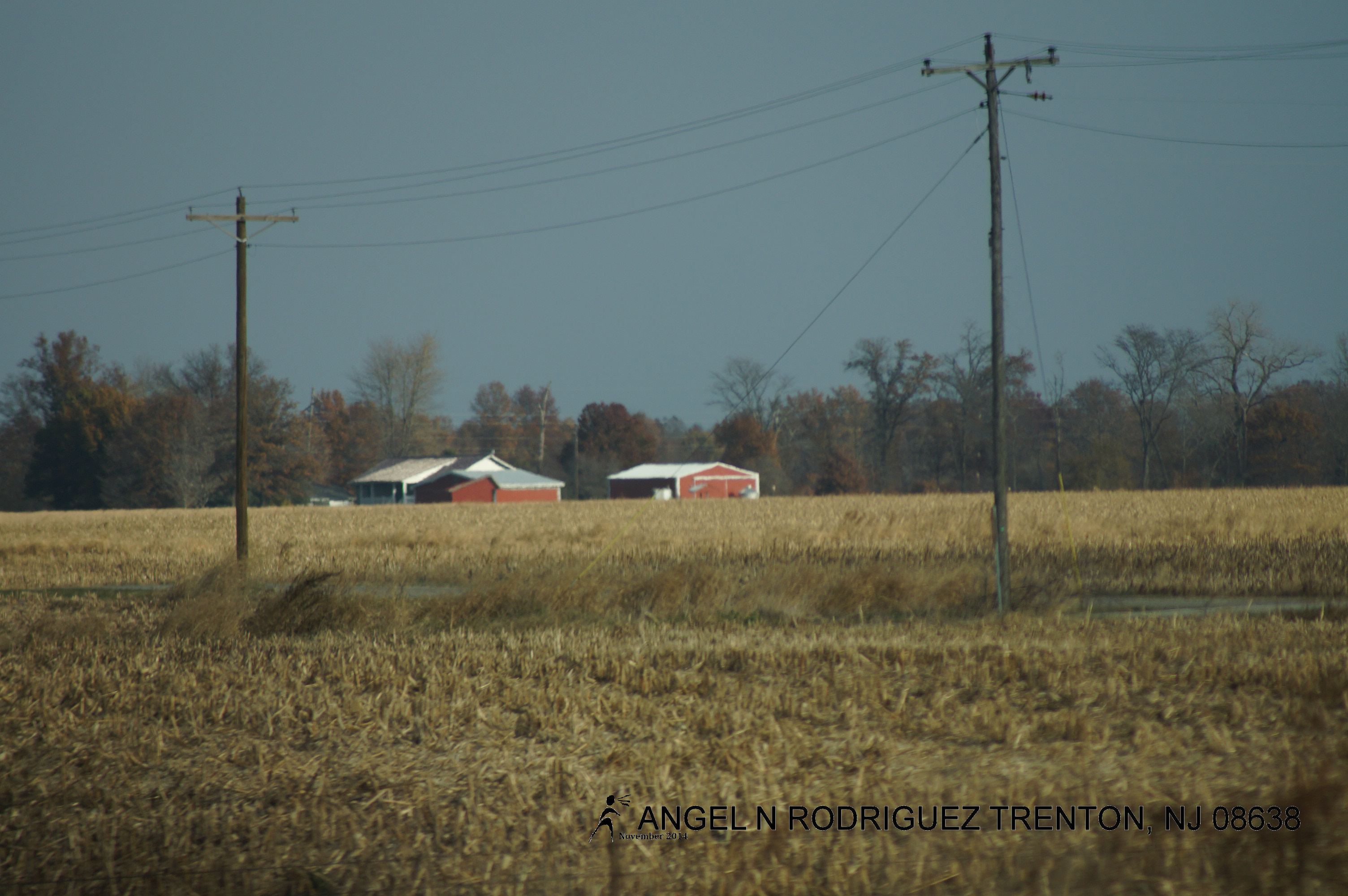
From West to East
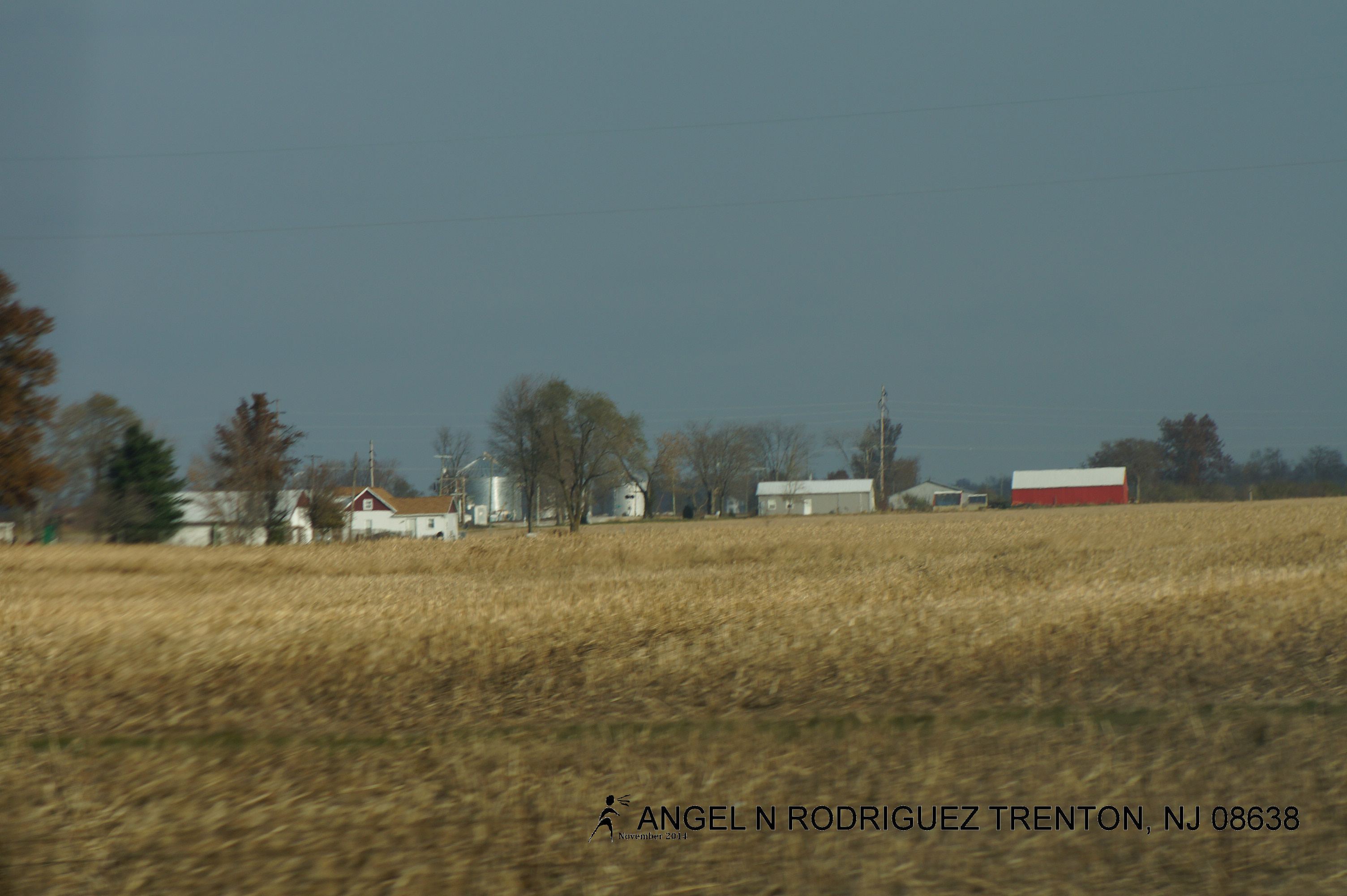
From West to East
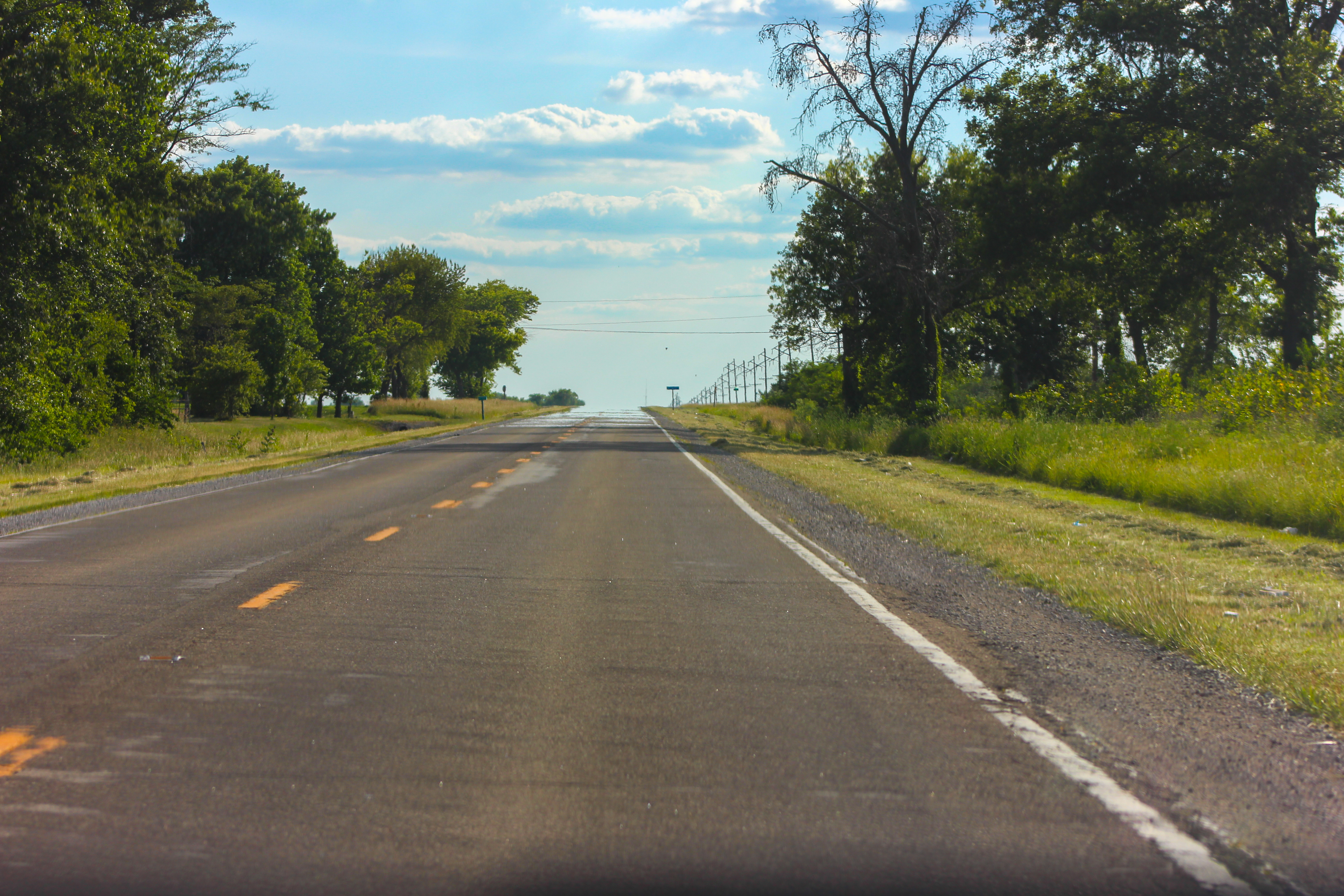
The Road
Topographic Map of Bond County, IL, USA
Find elevation by address:

Places in Bond County, IL, USA:
Places near Bond County, IL, USA:
Central Township
N 3rd St, Greenville, IL, USA
Greenville
IL-, Smithboro, IL, USA
Smithboro
1096 King Rd
1096 King Rd
Pleasant Mound Township
Mulberry Grove
Spring St, Hillsboro, IL, USA
Iberg Rd, Highland, IL, USA
Hillsboro Township
244 Flax Dr
75 Warbler Dr
Helvetia Township
Maple St, Carlyle, IL, USA
64 Memorial Ct
Highland, IL, USA
Irishtown Township
310 Devonshire Ct
Recent Searches:
- Elevation of Corso Fratelli Cairoli, 35, Macerata MC, Italy
- Elevation of Tallevast Rd, Sarasota, FL, USA
- Elevation of 4th St E, Sonoma, CA, USA
- Elevation of Black Hollow Rd, Pennsdale, PA, USA
- Elevation of Oakland Ave, Williamsport, PA, USA
- Elevation of Pedrógão Grande, Portugal
- Elevation of Klee Dr, Martinsburg, WV, USA
- Elevation of Via Roma, Pieranica CR, Italy
- Elevation of Tavkvetili Mountain, Georgia
- Elevation of Hartfords Bluff Cir, Mt Pleasant, SC, USA