Elevation of W Frontage Rd, Raymond, IL, USA
Location: United States > Illinois > Montgomery County >
Longitude: -89.646649
Latitude: 39.2789843
Elevation: 198m / 650feet
Barometric Pressure: 99KPa
Elevation Map:
Satellite Map:
Related Photos:
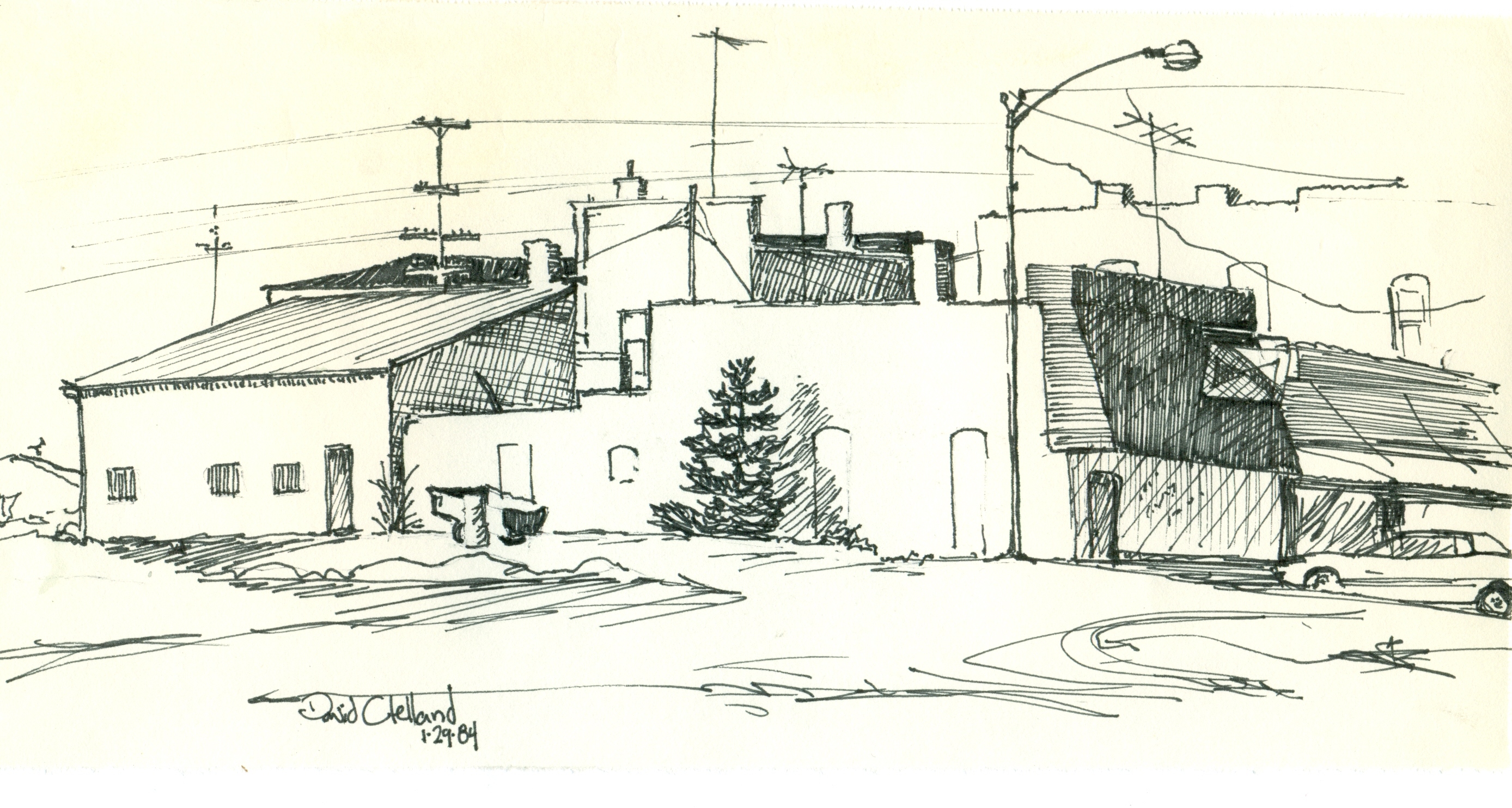
street view

Green Sunset
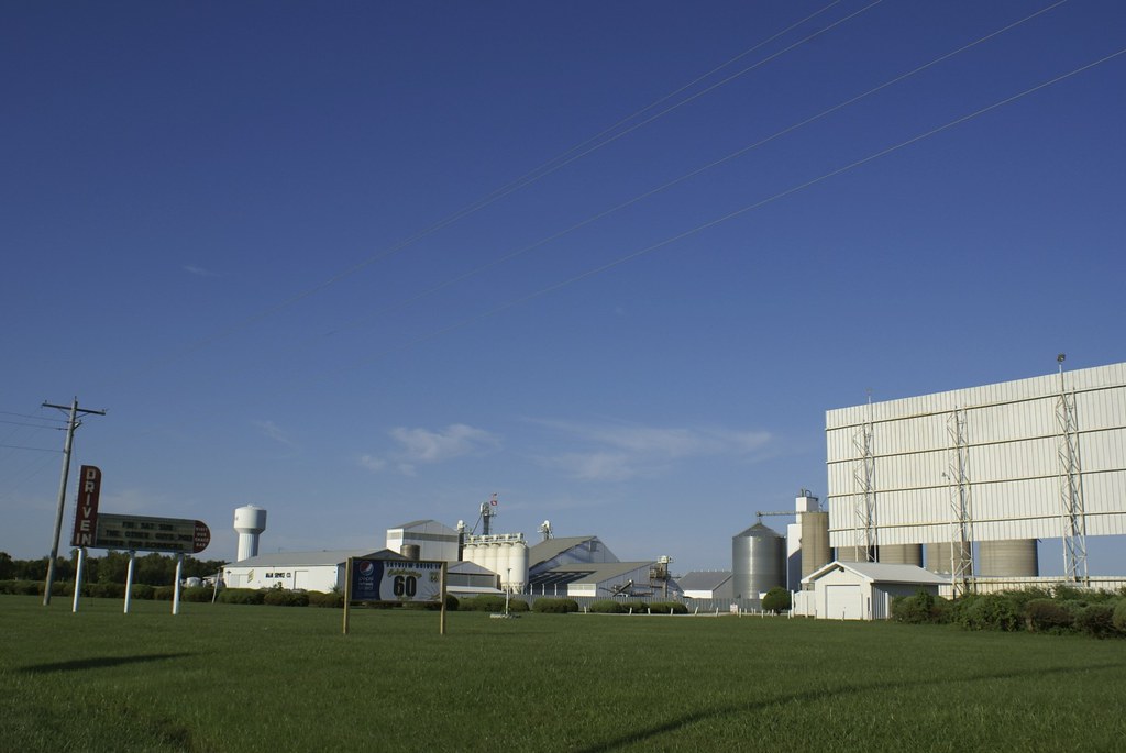
Litchfield - Sky View Drive-In

Front view of my house
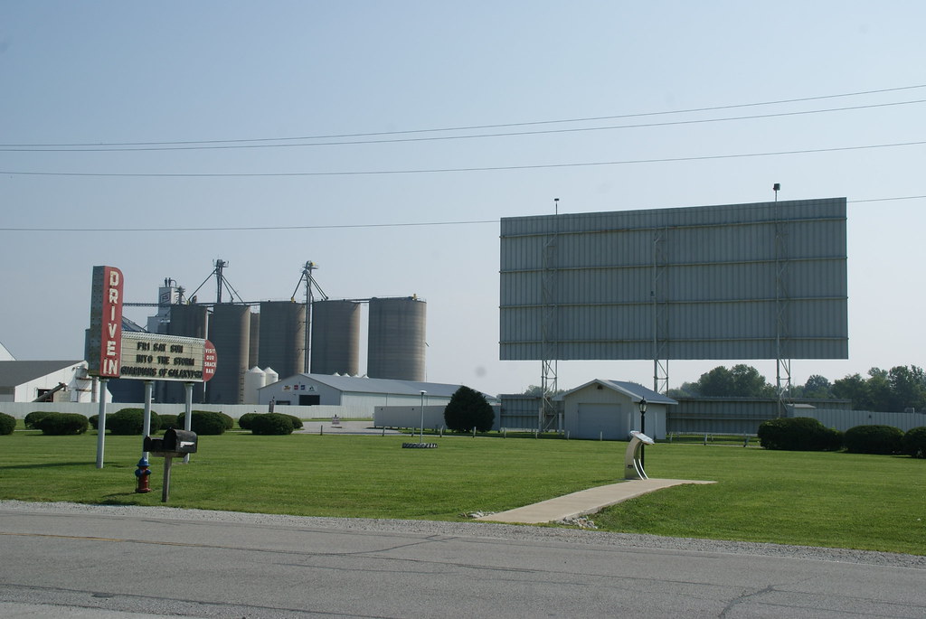
Route 66 - Sky View Drive-In Theatre

Litchfield - Sky View Drive-In

DSC_1929 copy

Sky View Drive-In
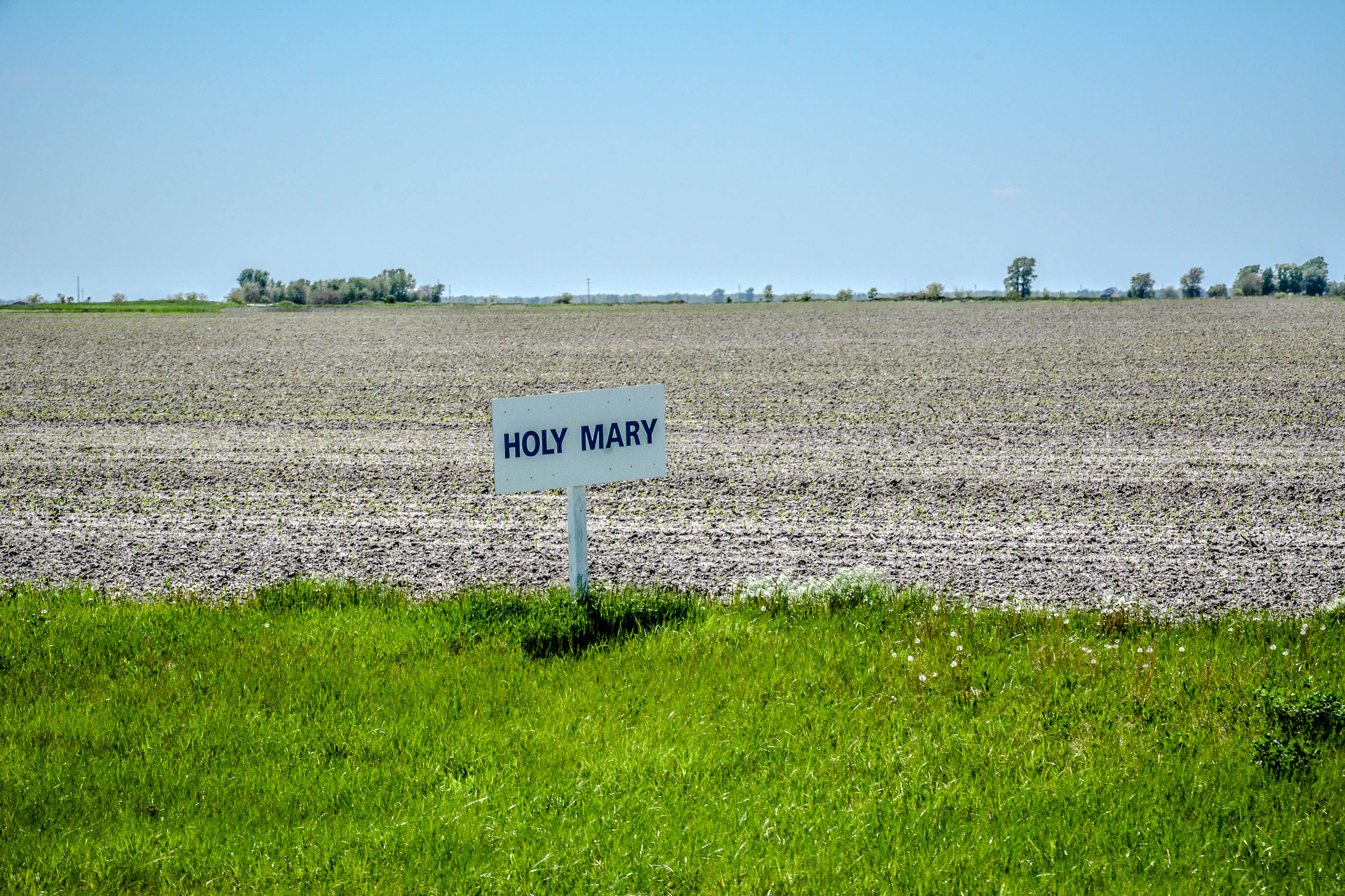
Our Lady of the Highway Shrine
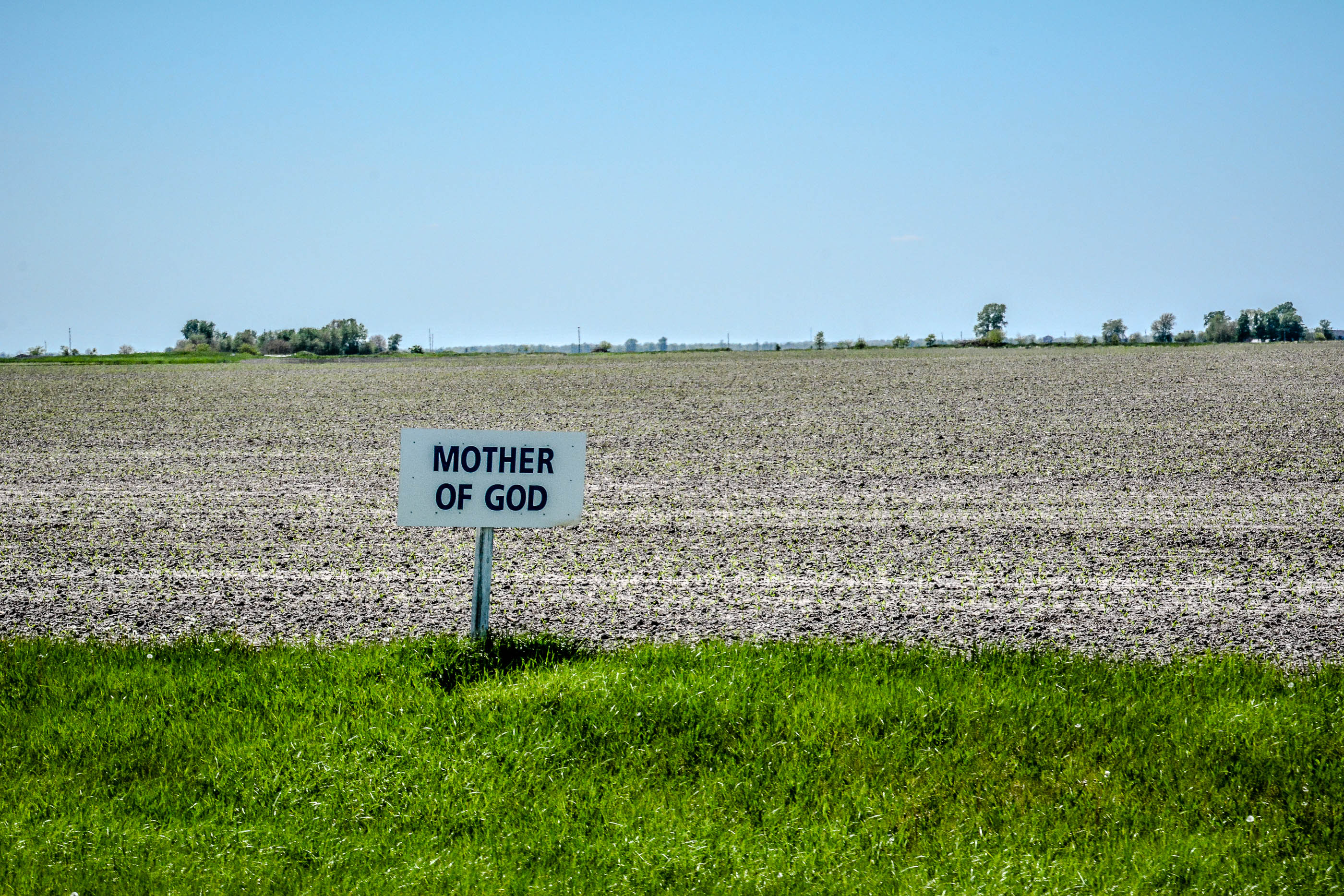
Our Lady of the Highway Shrine
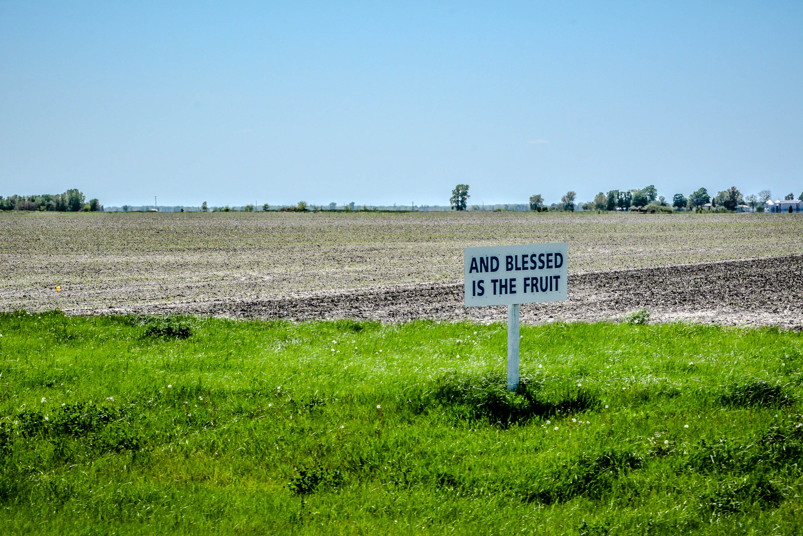
Our Lady of the Highway Shrine
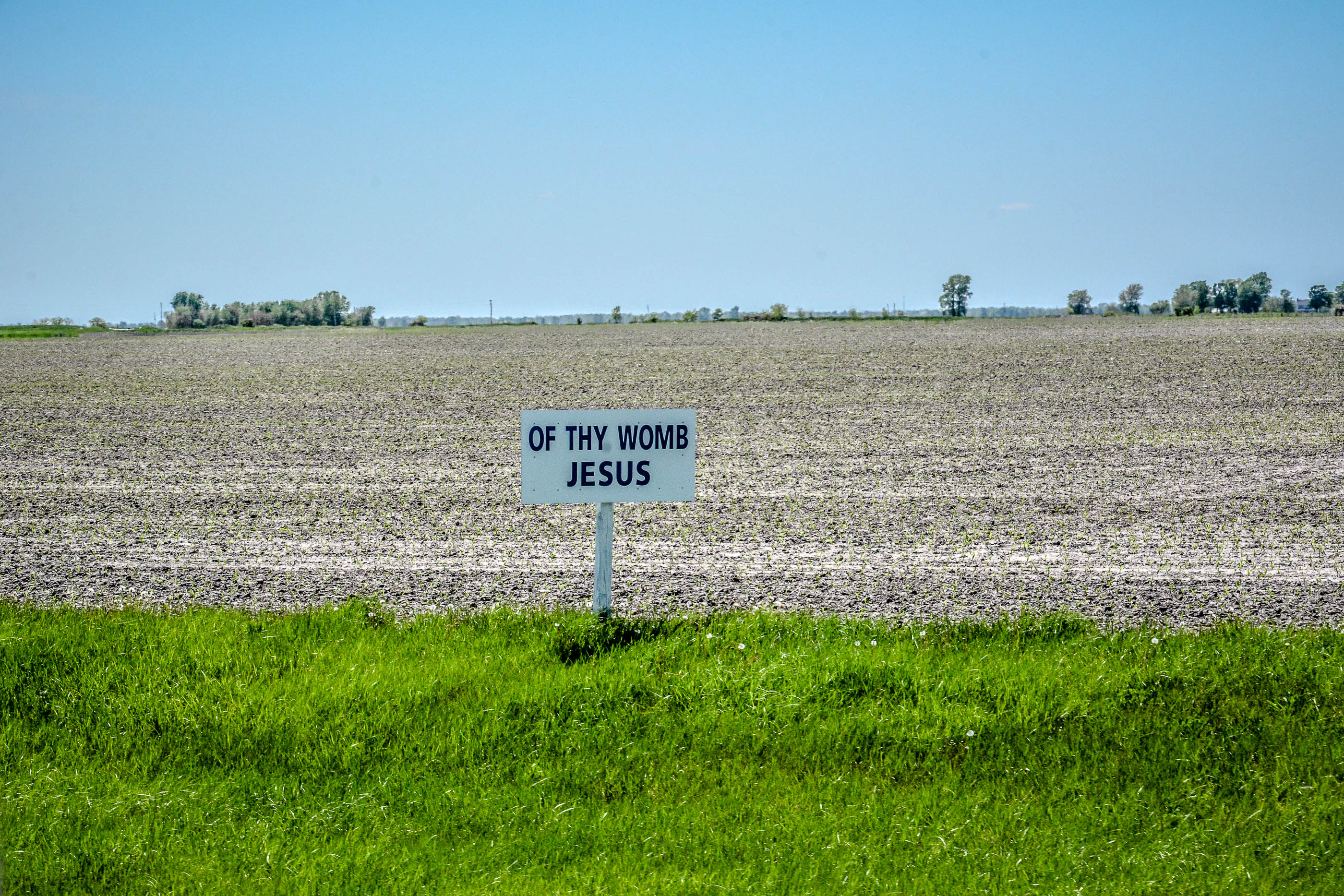
Our Lady of the Highway Shrine

I can see for miles and miles and miles

2013-06-28 11

Driving at sunset.

Good dining
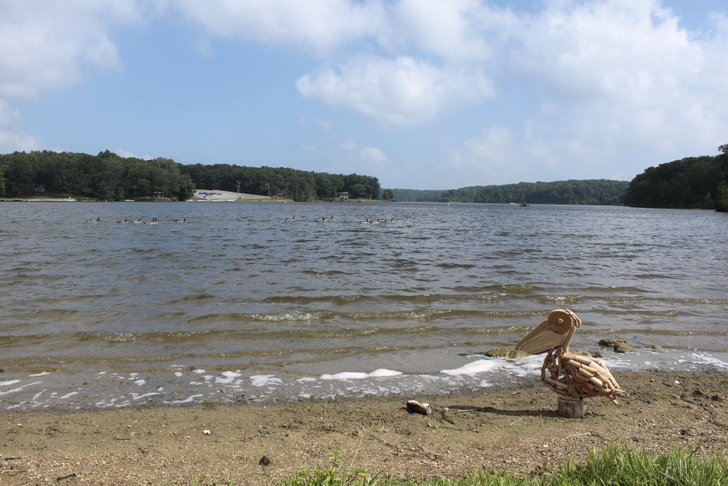
Possibility #57: Penelope at Lake Lou Yaeger 07272014

Old Glory

February Cumulus

Our Lady of the Highway Shrine

Our Lady of the Highway Shrine

Lichfield sunset over the fields #sunset #farm #amazing #America #pretty #instagramoftheday #instadaily #instagood #picoftheday #Thursday #Illinois
Topographic Map of W Frontage Rd, Raymond, IL, USA
Find elevation by address:

Places near W Frontage Rd, Raymond, IL, USA:
E Broad St, Raymond, IL, USA
Raymond
Main St, Waggoner, IL, USA
Litchfield
Shaws Point Township
Raymond Township
Butler Grove Township
Butler
Harvel
Water St, Butler, IL, USA
Monroe St, Harvel, IL, USA
Co Rd 20, Waggoner, IL, USA
43 Prairie St, Standard City, IL, USA
Standard City
Montgomery County
Hillsboro Township
Gillespie, IL, USA
Hillsboro
1 Courthouse Square, Hillsboro, IL, USA
Mt Olive, IL, USA
Recent Searches:
- Elevation of Corso Fratelli Cairoli, 35, Macerata MC, Italy
- Elevation of Tallevast Rd, Sarasota, FL, USA
- Elevation of 4th St E, Sonoma, CA, USA
- Elevation of Black Hollow Rd, Pennsdale, PA, USA
- Elevation of Oakland Ave, Williamsport, PA, USA
- Elevation of Pedrógão Grande, Portugal
- Elevation of Klee Dr, Martinsburg, WV, USA
- Elevation of Via Roma, Pieranica CR, Italy
- Elevation of Tavkvetili Mountain, Georgia
- Elevation of Hartfords Bluff Cir, Mt Pleasant, SC, USA