Elevation of Water St, Butler, IL, USA
Location: United States > Illinois > Montgomery County > Butler Grove Township > Butler >
Longitude: -89.533764
Latitude: 39.198986
Elevation: 195m / 640feet
Barometric Pressure: 99KPa
Elevation Map:
Satellite Map:
Related Photos:
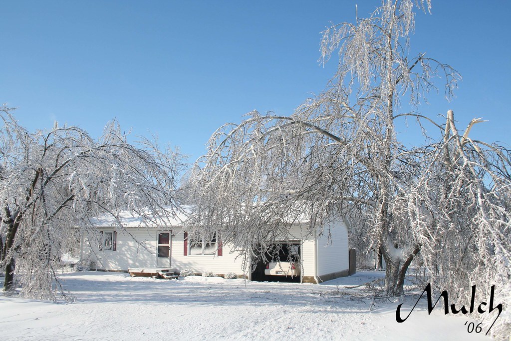
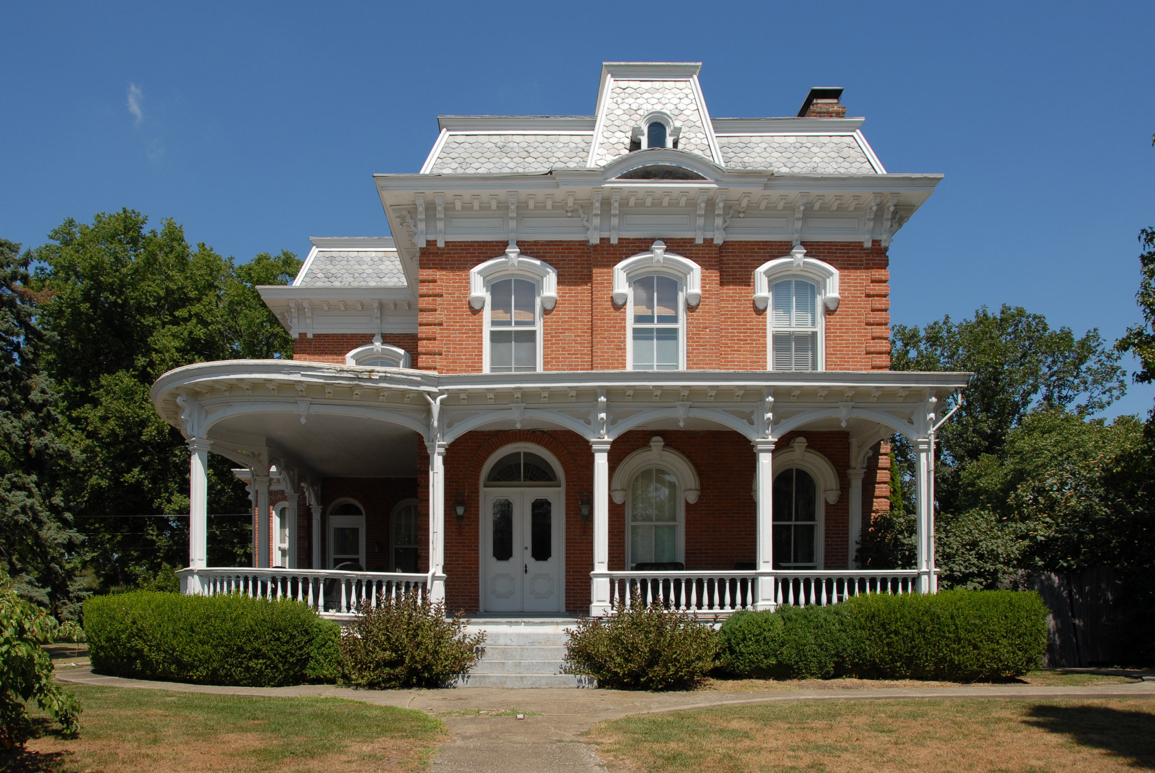
Front view of my house
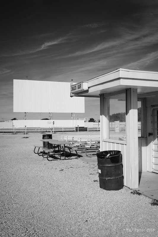
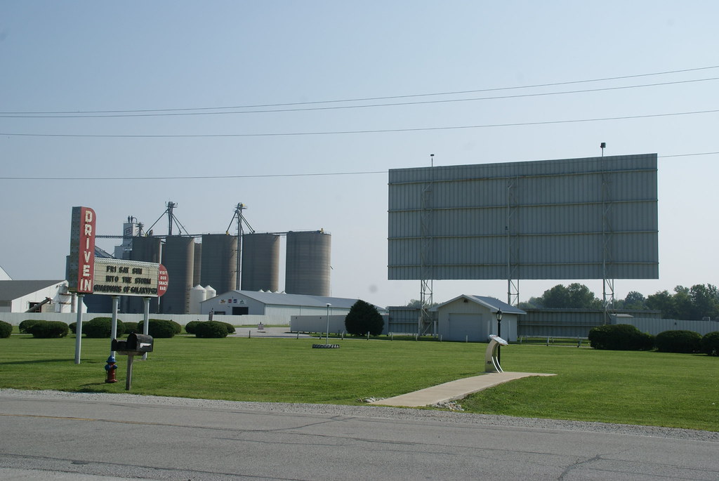
Sky View Drive-In, Litchfield IL

~Dark Night~
street view

Storm Rolls In Across The Lake

Green Sunset
Litchfield - Sky View Drive-In
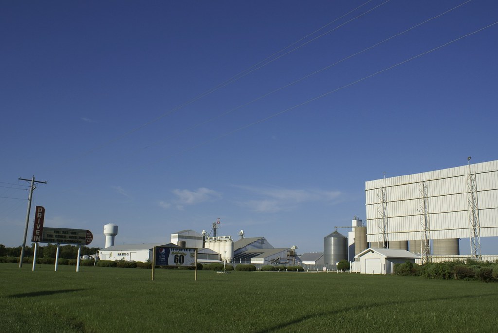
Route 66 - Sky View Drive-In Theatre

Litchfield - Sky View Drive-In
DSC_1929 copy

Sky View Drive-In
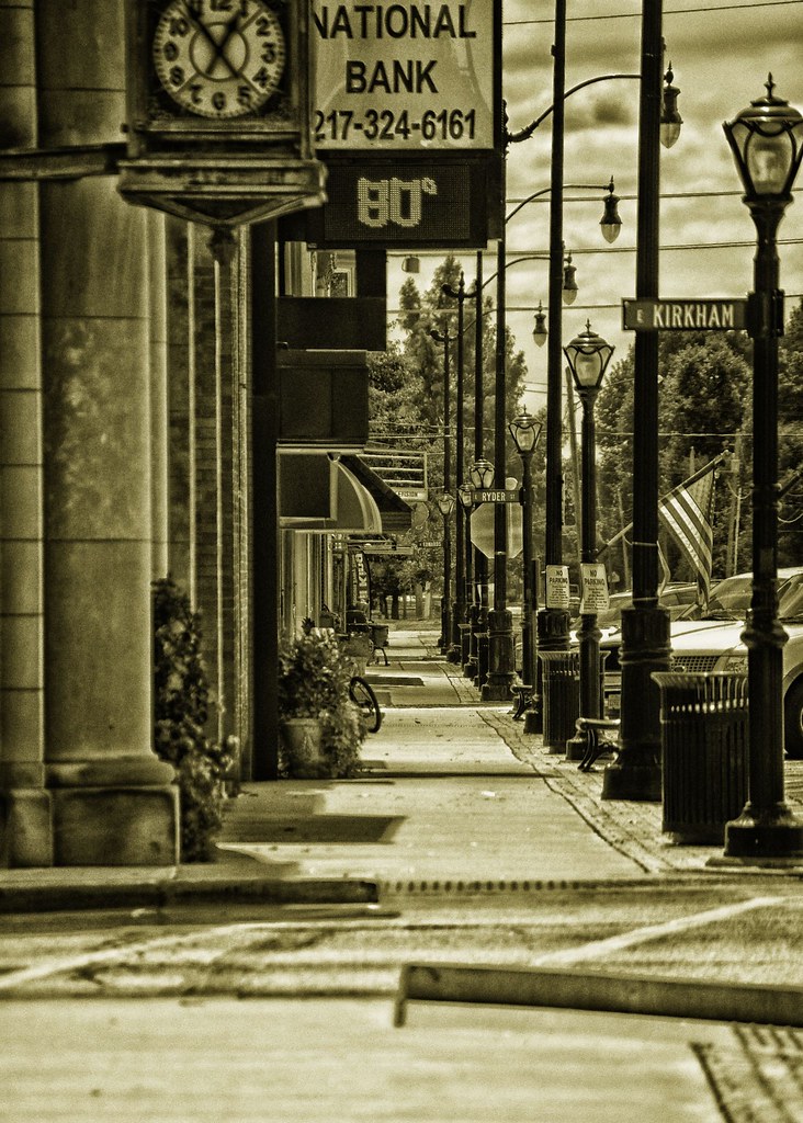
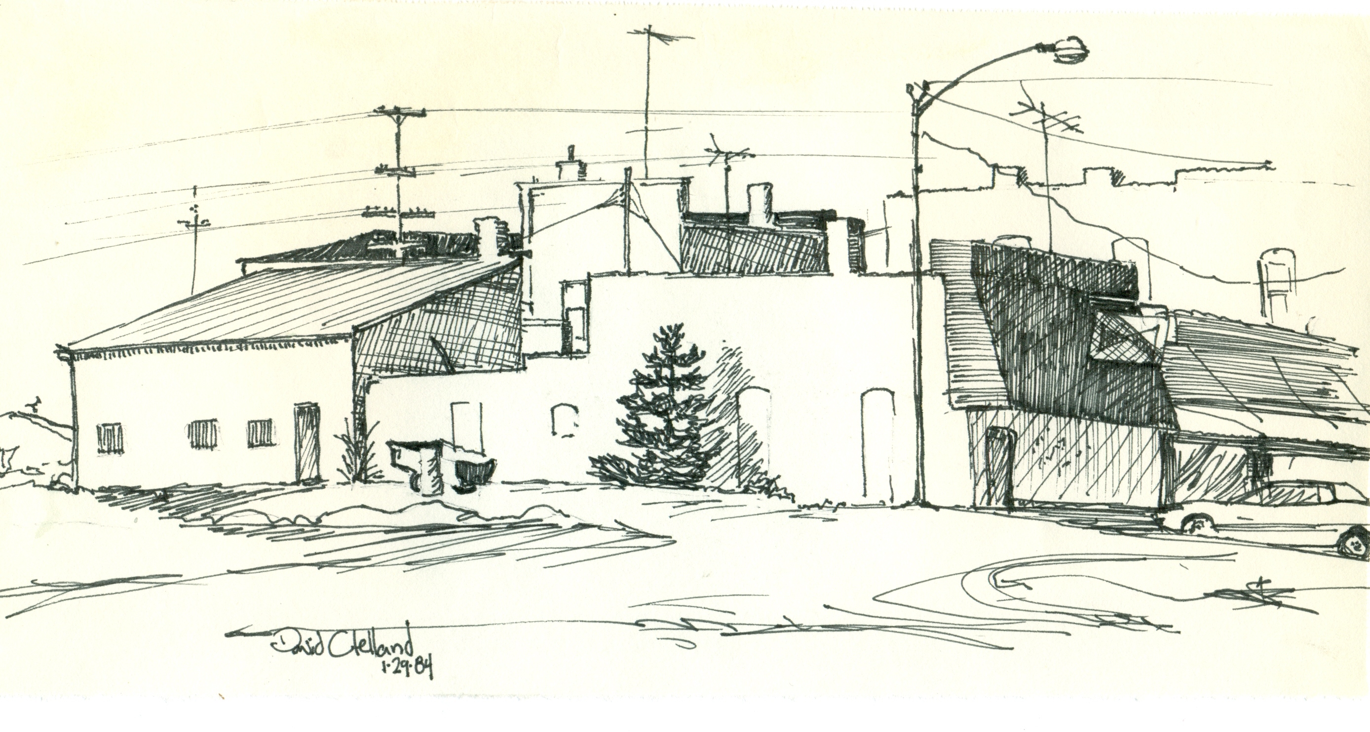
~Down On Main Street~
Belvidere Cafe
Topographic Map of Water St, Butler, IL, USA
Find elevation by address:

Places near Water St, Butler, IL, USA:
Butler
Butler Grove Township
Hillsboro
1 Courthouse Square, Hillsboro, IL, USA
Hillsboro Township
Montgomery County
Kortkamp Rd, Hillsboro, IL, USA
Spring St, Hillsboro, IL, USA
Raymond Township
Litchfield
Raymond
E Broad St, Raymond, IL, USA
W Frontage Rd, Raymond, IL, USA
Harvel
Monroe St, Harvel, IL, USA
308 E Old Rte 66 N
Mount Olive
W Main St, Mt Olive, IL, USA
Main St, Waggoner, IL, USA
Mt Olive, IL, USA
Recent Searches:
- Elevation of Corso Fratelli Cairoli, 35, Macerata MC, Italy
- Elevation of Tallevast Rd, Sarasota, FL, USA
- Elevation of 4th St E, Sonoma, CA, USA
- Elevation of Black Hollow Rd, Pennsdale, PA, USA
- Elevation of Oakland Ave, Williamsport, PA, USA
- Elevation of Pedrógão Grande, Portugal
- Elevation of Klee Dr, Martinsburg, WV, USA
- Elevation of Via Roma, Pieranica CR, Italy
- Elevation of Tavkvetili Mountain, Georgia
- Elevation of Hartfords Bluff Cir, Mt Pleasant, SC, USA