Elevation of MO-30, Lonedell, MO, USA
Location: United States > Missouri > Franklin County >
Longitude: -90.829068
Latitude: 38.3077785
Elevation: 176m / 577feet
Barometric Pressure: 99KPa
Elevation Map:
Satellite Map:
Related Photos:
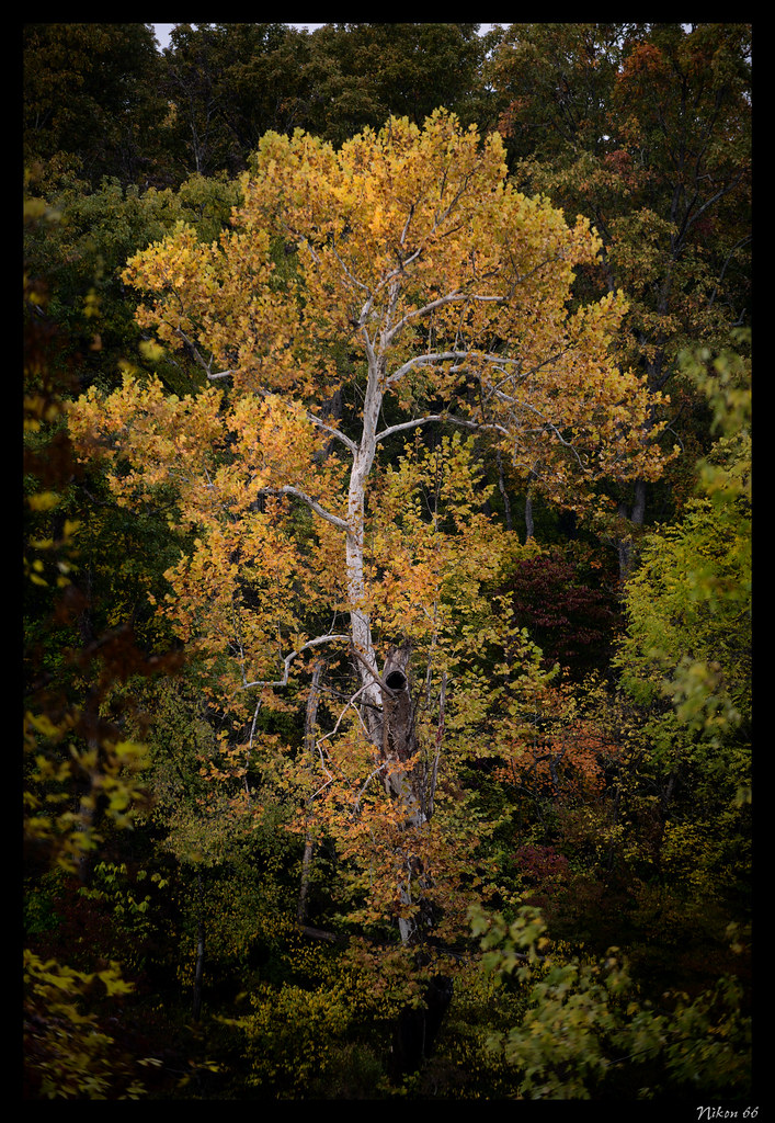
Roberstville State Park Sycamore Tree

Big River, Morse Mill, MO
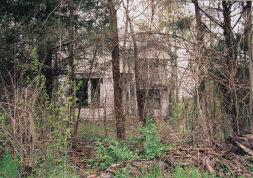
ye Olde House on the Hill

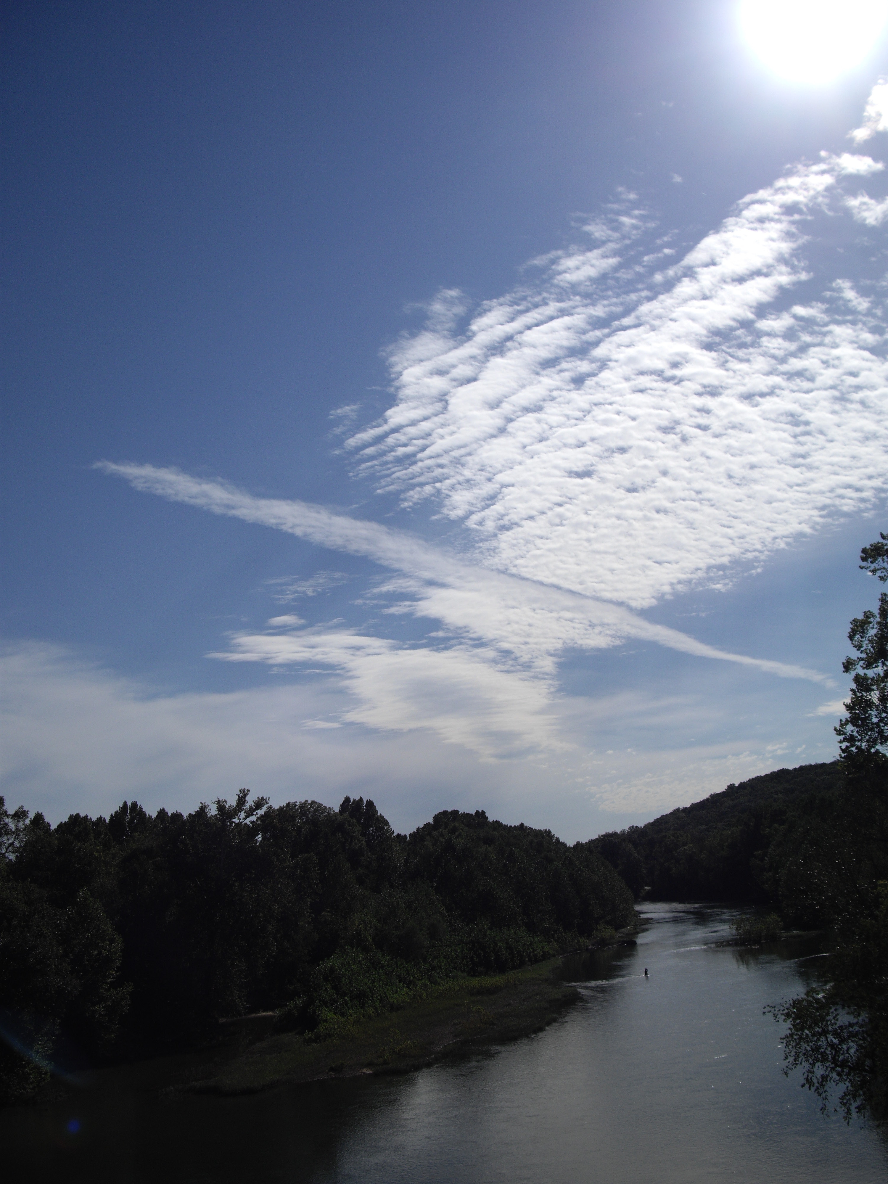
Meramec and Bourbeuse Rivers

Meramec River
Robertsville State Park
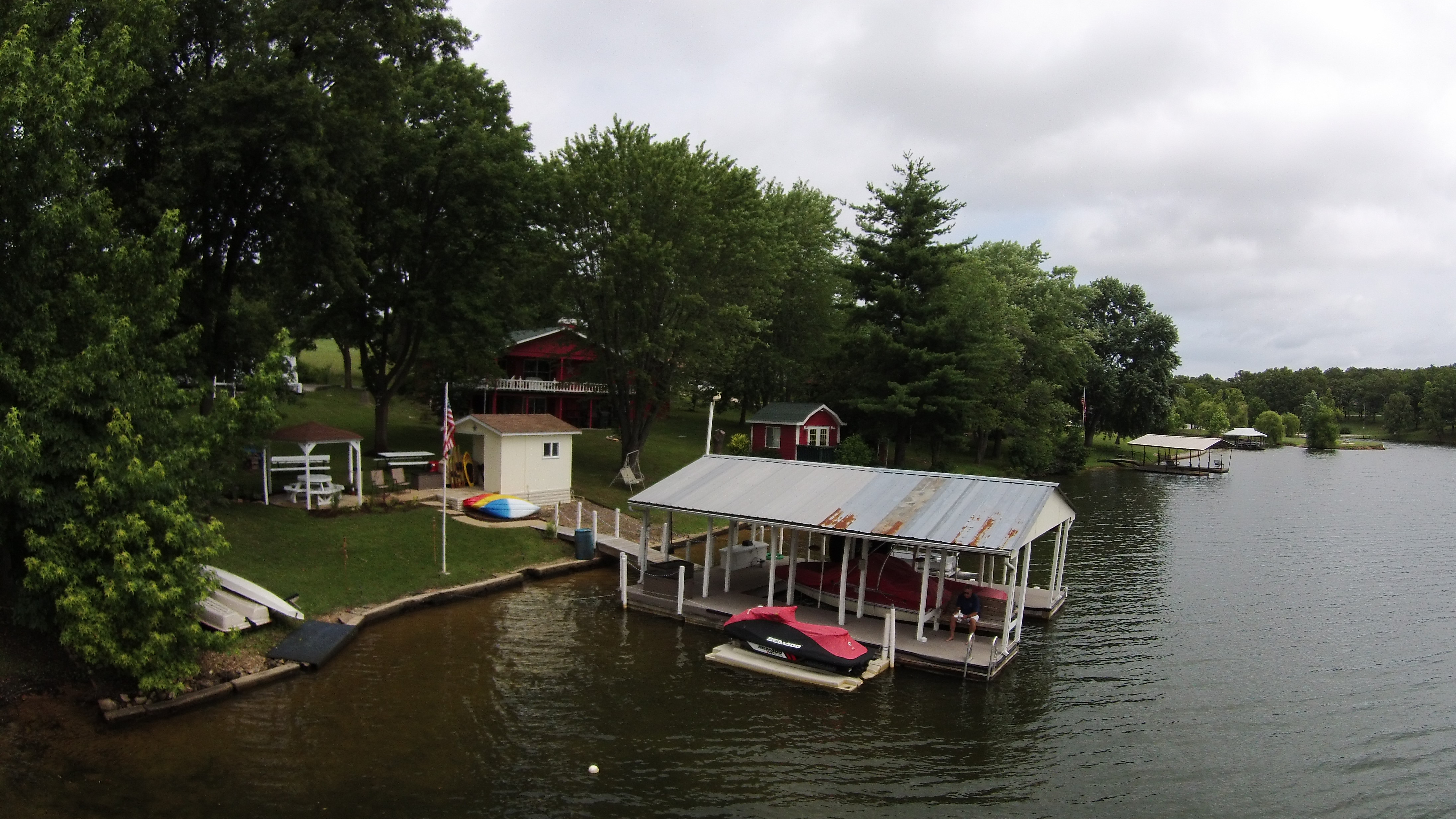
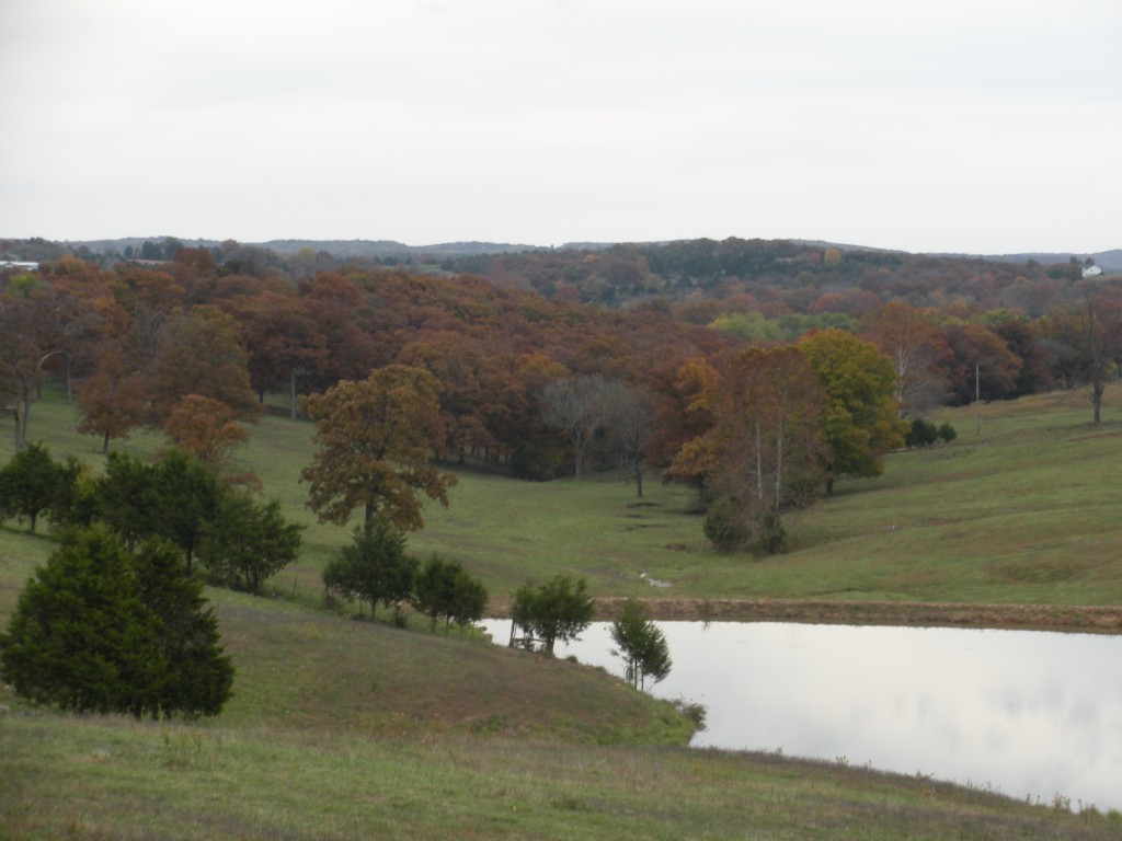
Lake St Clair
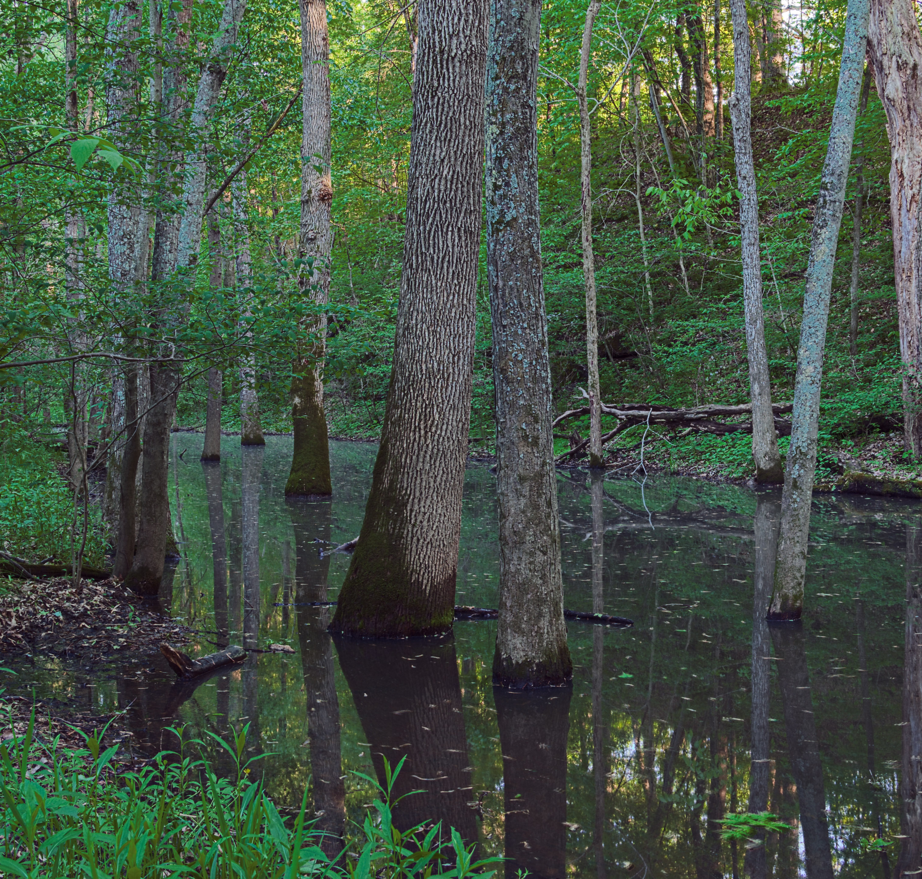
Swamp, at River Round Conservation Area, near Moselle, Missouri, USA

10-06-05 Day 08 - Route 66
Rolling hills in MO
Lake St Clair
Meramec River
Robertsville State Park
Topographic Map of MO-30, Lonedell, MO, USA
Find elevation by address:

Places near MO-30, Lonedell, MO, USA:
Bridle Trail Drive
5514 Oak Grove Church Rd
1619 Finney Rd
8597 Missouri Hh
8597 Missouri Hh
Calvey Township
State Rd Y, Dittmer, MO, USA
10455 Komo Rd
6127 Missouri Hh
6127 Missouri Hh
6127 Missouri Hh
7559 Missouri Hh
10402 Neal Dr
Old Cove Canoe And Kayak
9985 Township Ln
1023 Oak Ridge Rd
Oermann Rd, Dittmer, MO, USA
Seibert Dr, Moselle, MO, USA
313-309
Robertsville
Recent Searches:
- Elevation of Corso Fratelli Cairoli, 35, Macerata MC, Italy
- Elevation of Tallevast Rd, Sarasota, FL, USA
- Elevation of 4th St E, Sonoma, CA, USA
- Elevation of Black Hollow Rd, Pennsdale, PA, USA
- Elevation of Oakland Ave, Williamsport, PA, USA
- Elevation of Pedrógão Grande, Portugal
- Elevation of Klee Dr, Martinsburg, WV, USA
- Elevation of Via Roma, Pieranica CR, Italy
- Elevation of Tavkvetili Mountain, Georgia
- Elevation of Hartfords Bluff Cir, Mt Pleasant, SC, USA