Elevation of Franklin County, MO, USA
Location: United States > Missouri >
Longitude: -91.135302
Latitude: 38.3953601
Elevation: 256m / 840feet
Barometric Pressure: 98KPa
Elevation Map:
Satellite Map:
Related Photos:

the view from above
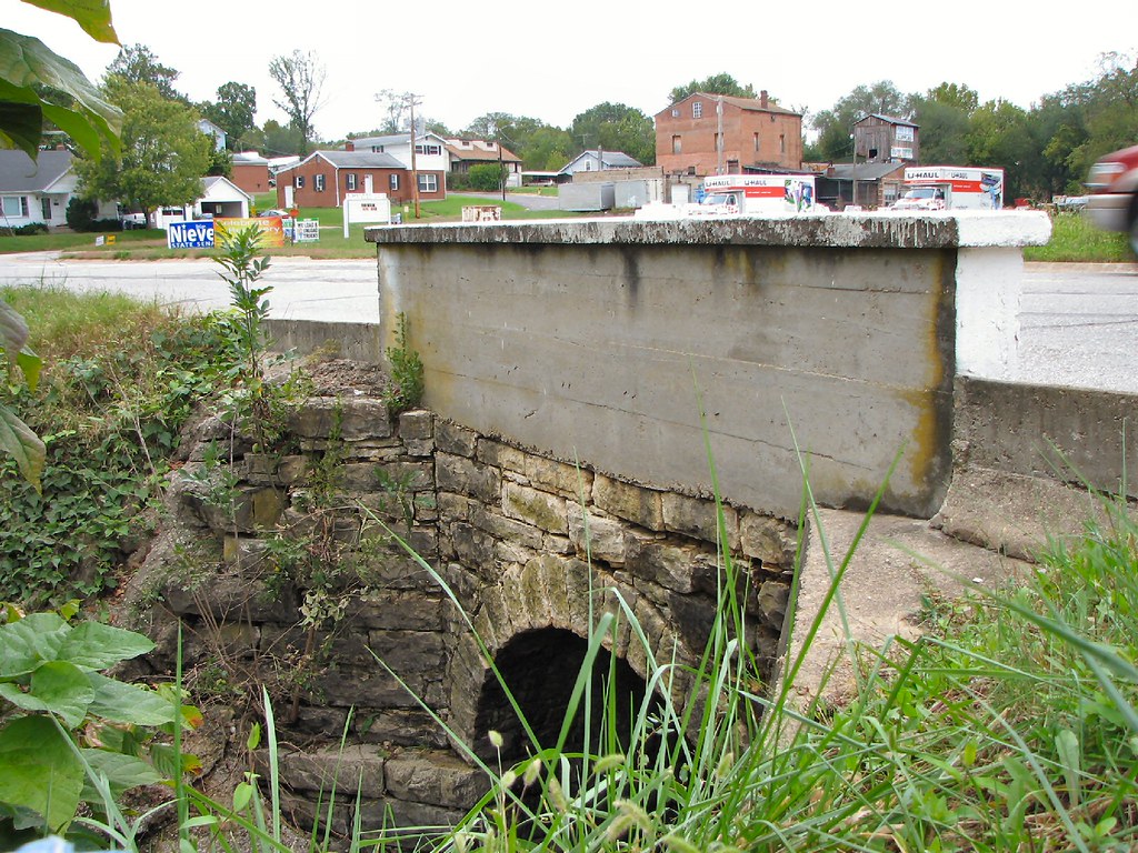
Side View Stone Culvert-Union, MO

hungry? thirsty?
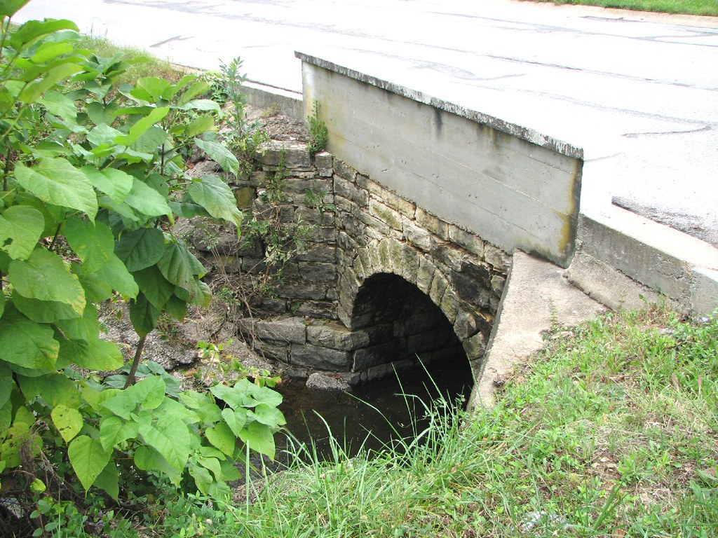
Close-up Stone Culvert-Union, MO

Some storms that were to the south of me.

Some storms that were to the south of me.

Sunset over Union MO tonight

Fire in the sky
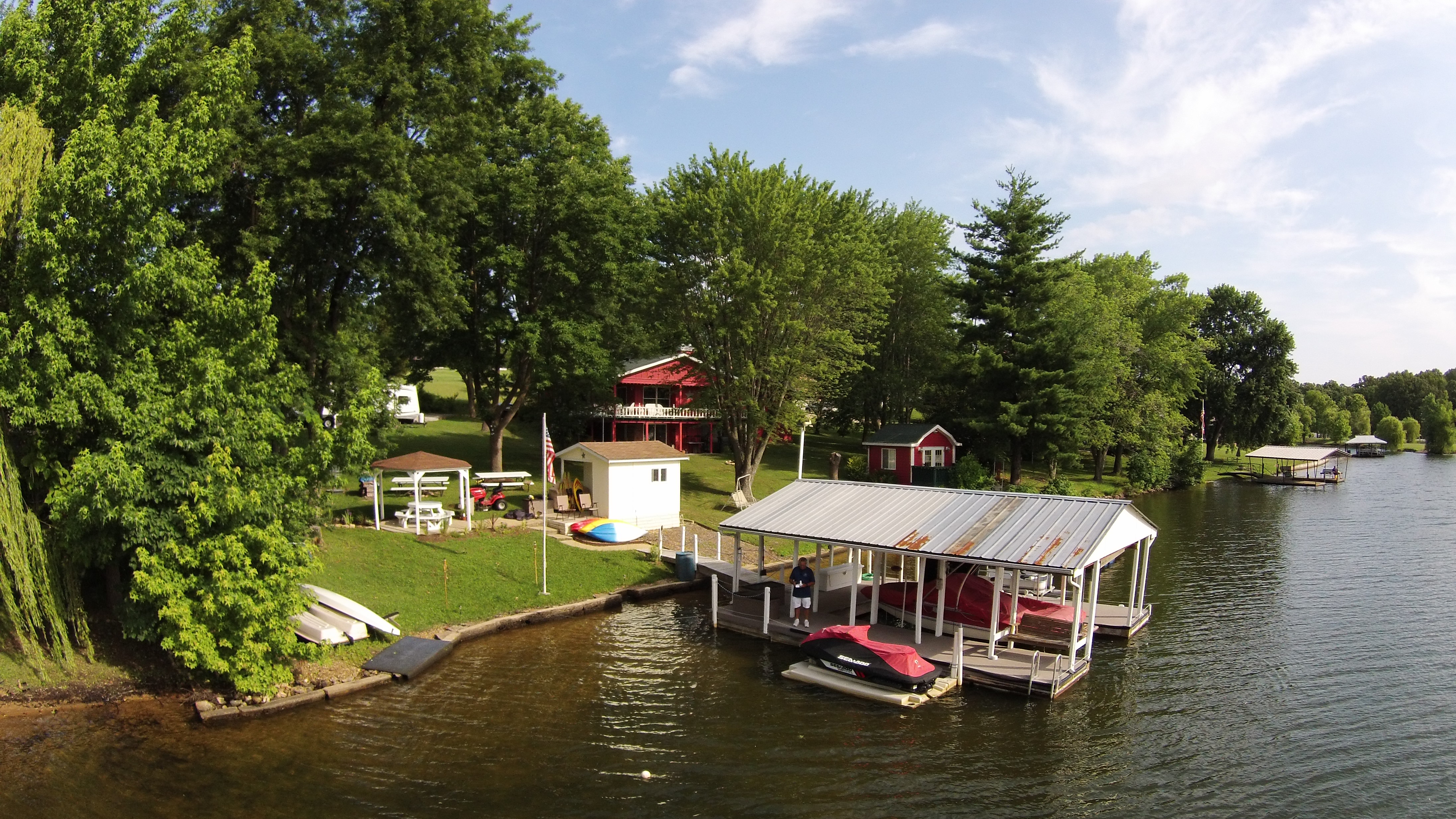
Lake St Clair
kayak-0099
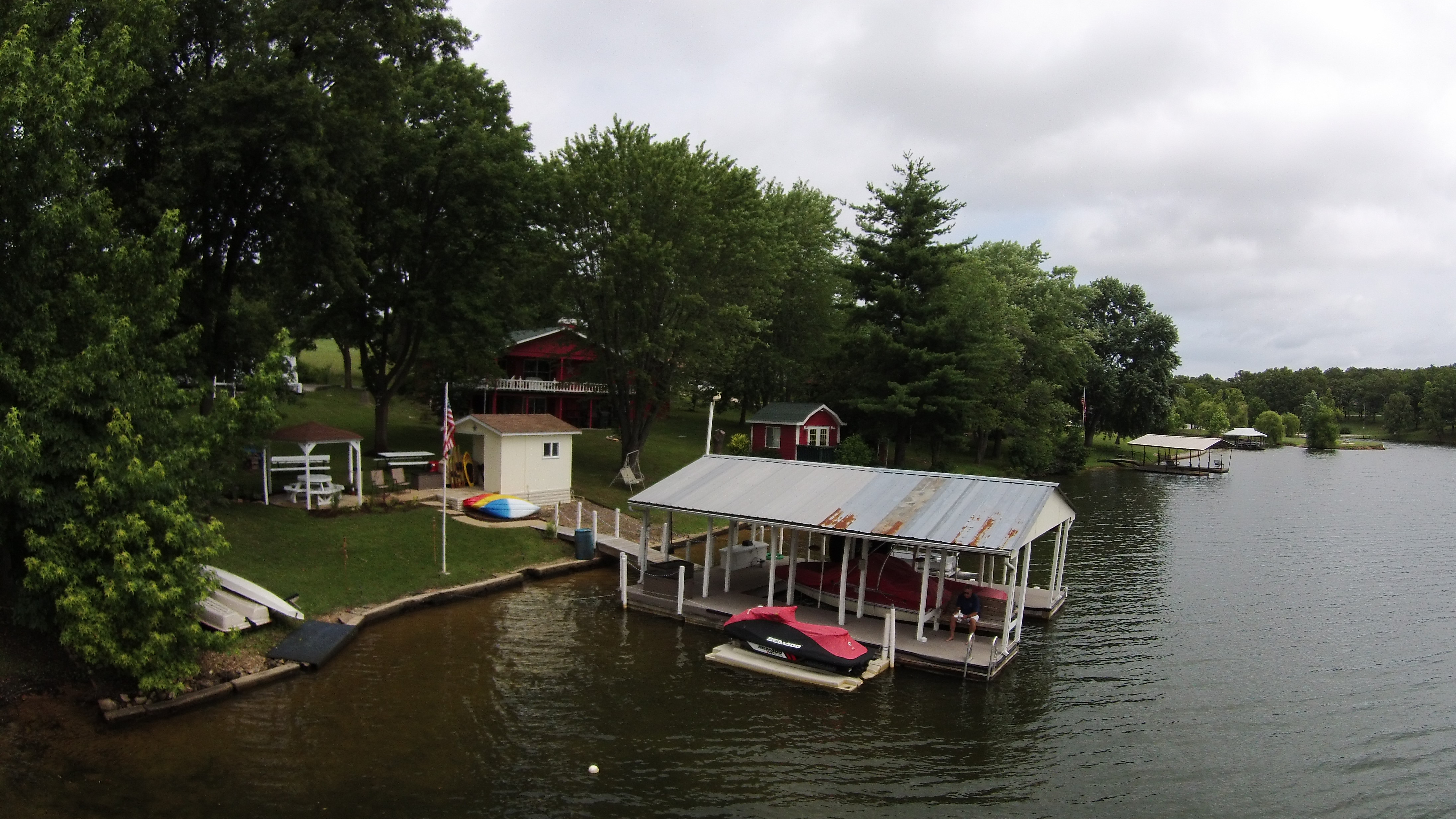
Lake St Clair
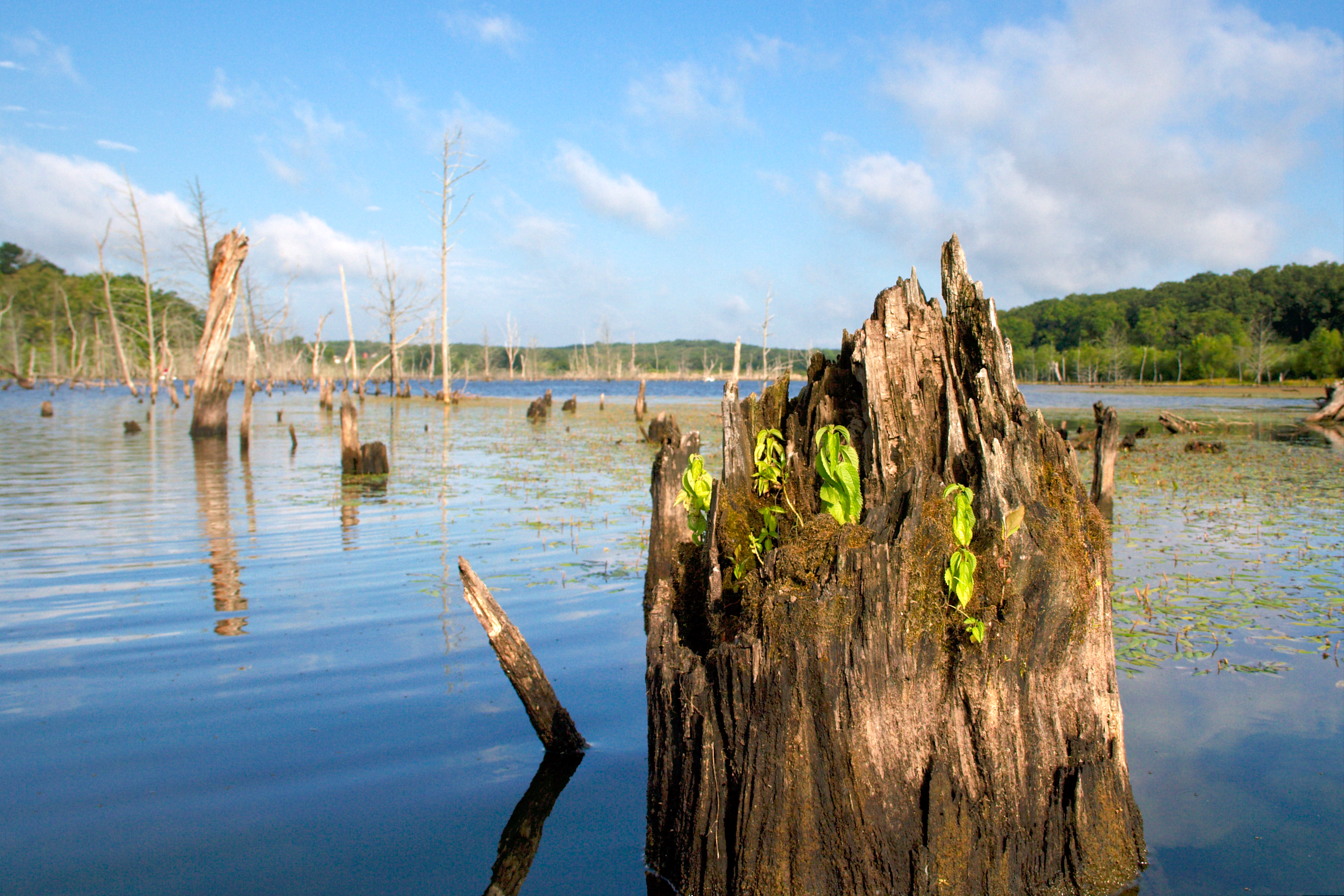
Vasty nothingness

Early Spring Daffodils
Topographic Map of Franklin County, MO, USA
Find elevation by address:

Places in Franklin County, MO, USA:
Boles Township
Washington Township
St. Johns Township
Union Township
Meramec Township
Boeuf Township
Boone Township
Saint Clair
Olivia Ct, New Haven, MO, USA
W Springfield Rd, St Clair, MO, USA
US-50, Beaufort, MO, USA
Seibert Dr, Moselle, MO, USA
New Haven
New Haven Township
Places near Franklin County, MO, USA:
Wildwood Road
US-50, Beaufort, MO, USA
Beaufort
Union Township
US-50, Union, MO, USA
Leslie
Meramec Township
State Hwy YY, Washington, MO, USA
Rose Lee Lane
3090 Beck Addition Rd
W Springfield Rd, St Clair, MO, USA
Boone Township
249 Hwy Ww
6510 State Hwy Bb
S Lake Dr, Leslie, MO, USA
Union
Franklin Ave, Union, MO, USA
184 Dinky Rd
500 E Locust St
417 Crestview Dr
Recent Searches:
- Elevation of Corso Fratelli Cairoli, 35, Macerata MC, Italy
- Elevation of Tallevast Rd, Sarasota, FL, USA
- Elevation of 4th St E, Sonoma, CA, USA
- Elevation of Black Hollow Rd, Pennsdale, PA, USA
- Elevation of Oakland Ave, Williamsport, PA, USA
- Elevation of Pedrógão Grande, Portugal
- Elevation of Klee Dr, Martinsburg, WV, USA
- Elevation of Via Roma, Pieranica CR, Italy
- Elevation of Tavkvetili Mountain, Georgia
- Elevation of Hartfords Bluff Cir, Mt Pleasant, SC, USA