Elevation of Boone Township, MO, USA
Location: United States > Missouri > Franklin County >
Longitude: -91.250600
Latitude: 38.3520754
Elevation: 198m / 650feet
Barometric Pressure: 99KPa
Elevation Map:
Satellite Map:
Related Photos:
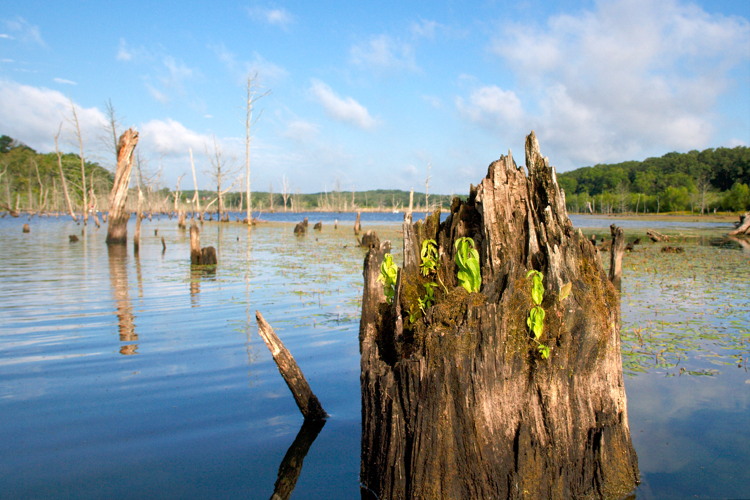
kayak-0099

Open Country Road
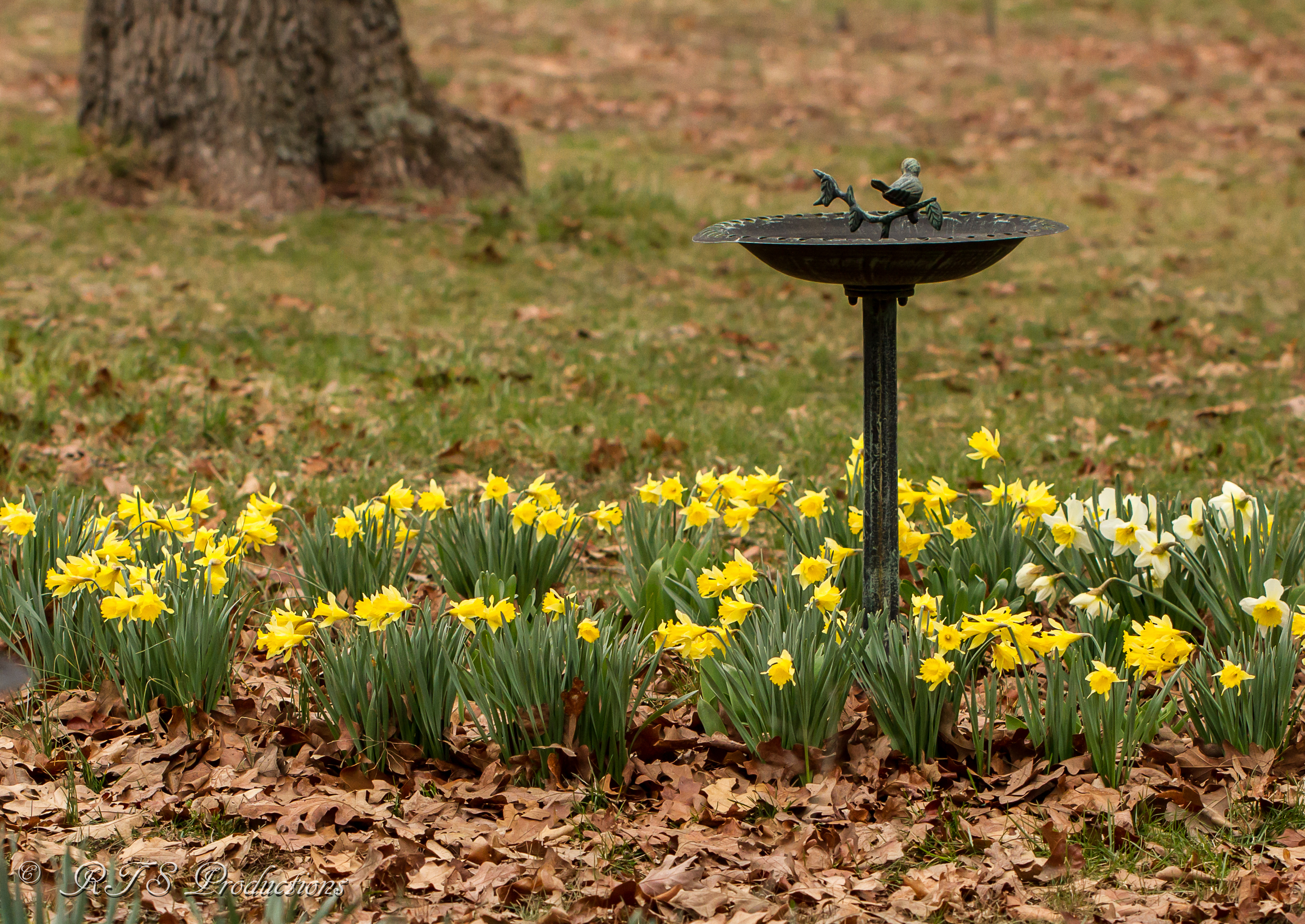
Early Spring Daffodils

Radio, radio
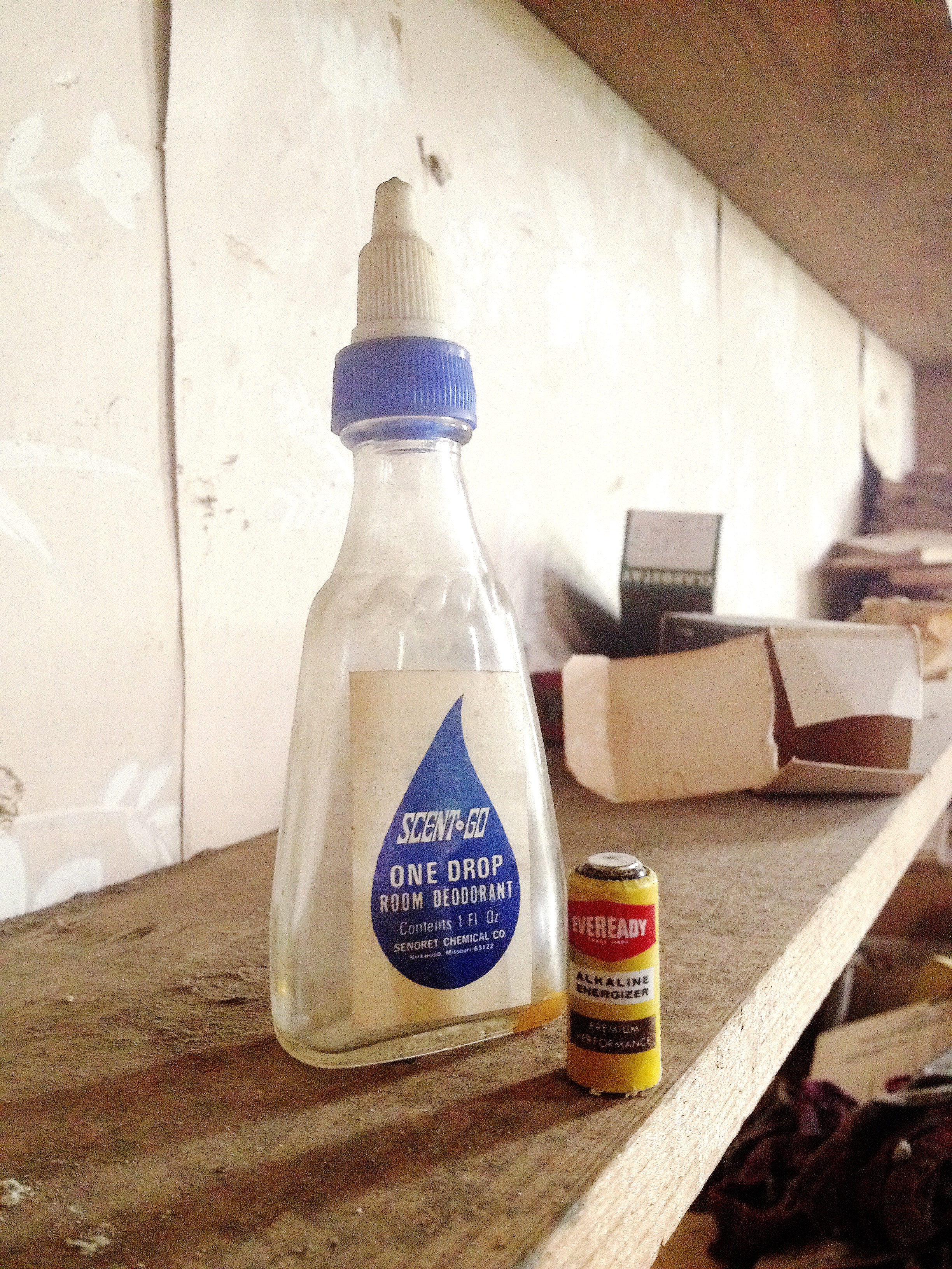
One Drop

This Day

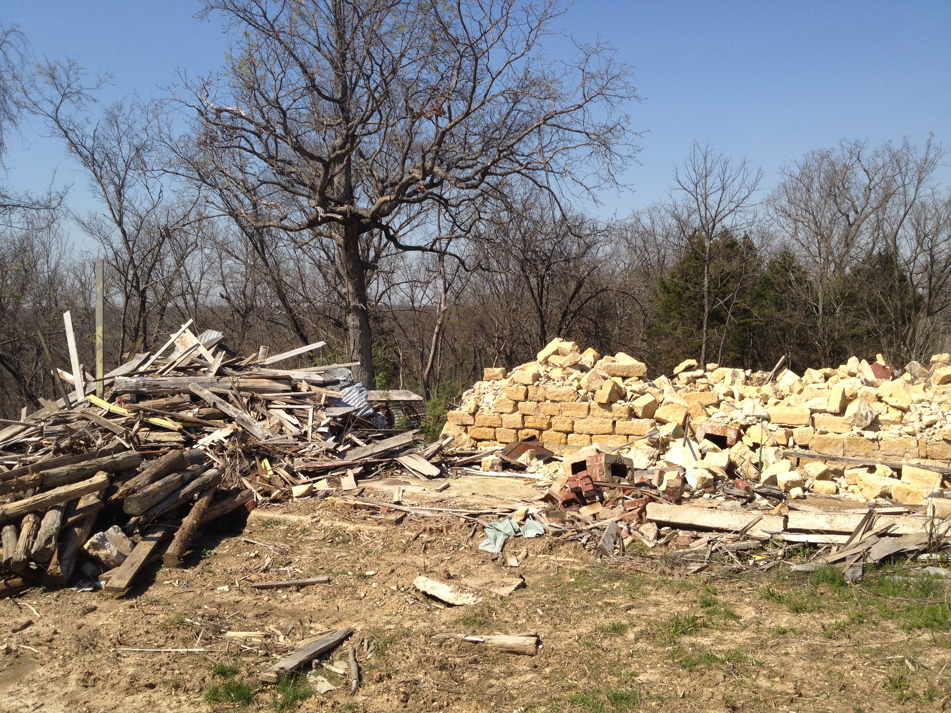
File Under Water

Xmas Dog Food
Buffalo Ridge School

Found it just like this
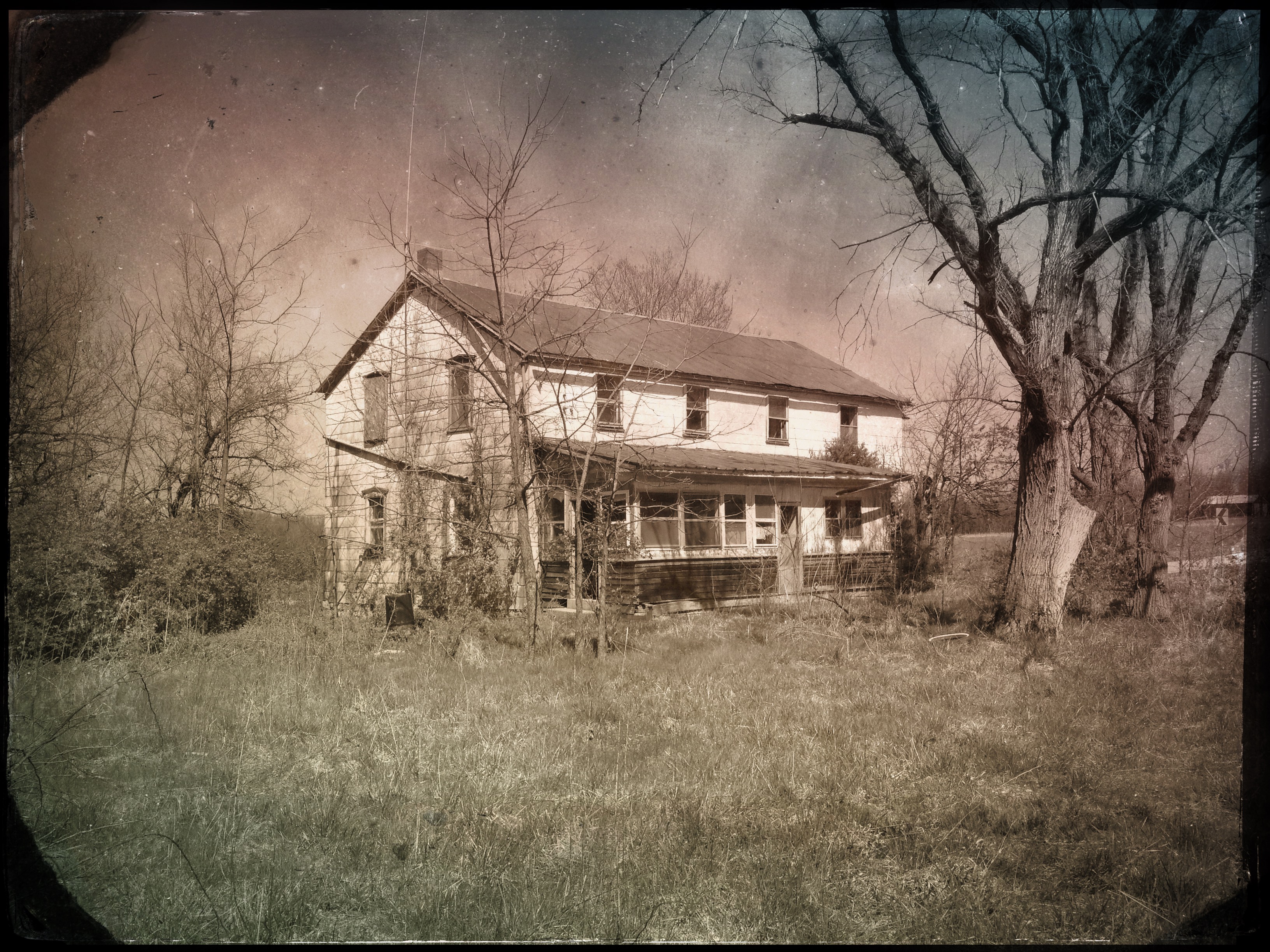
"#4011 House"
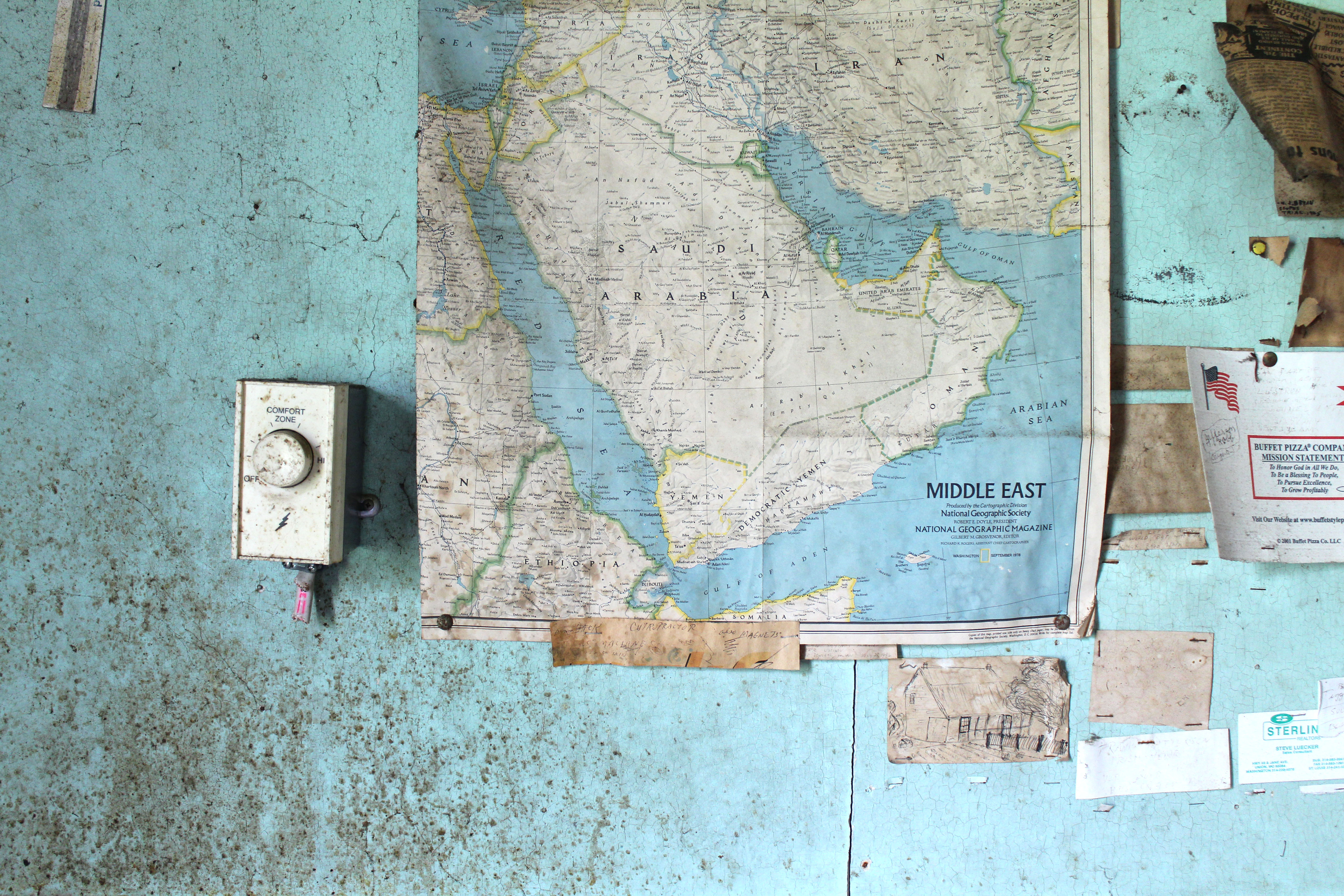
Middle East Comfort Zone
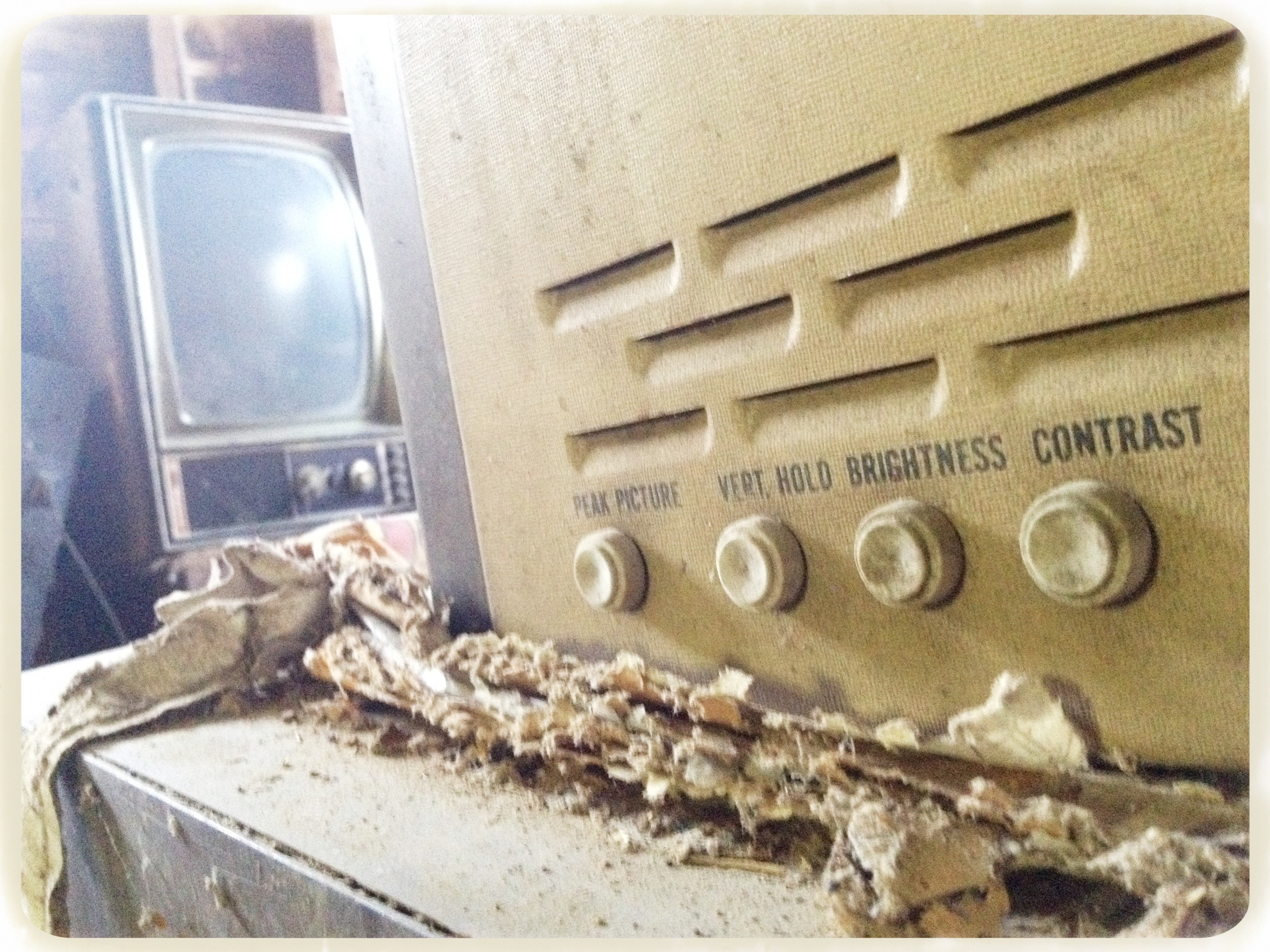
Picture adjustments

Lemon Lime
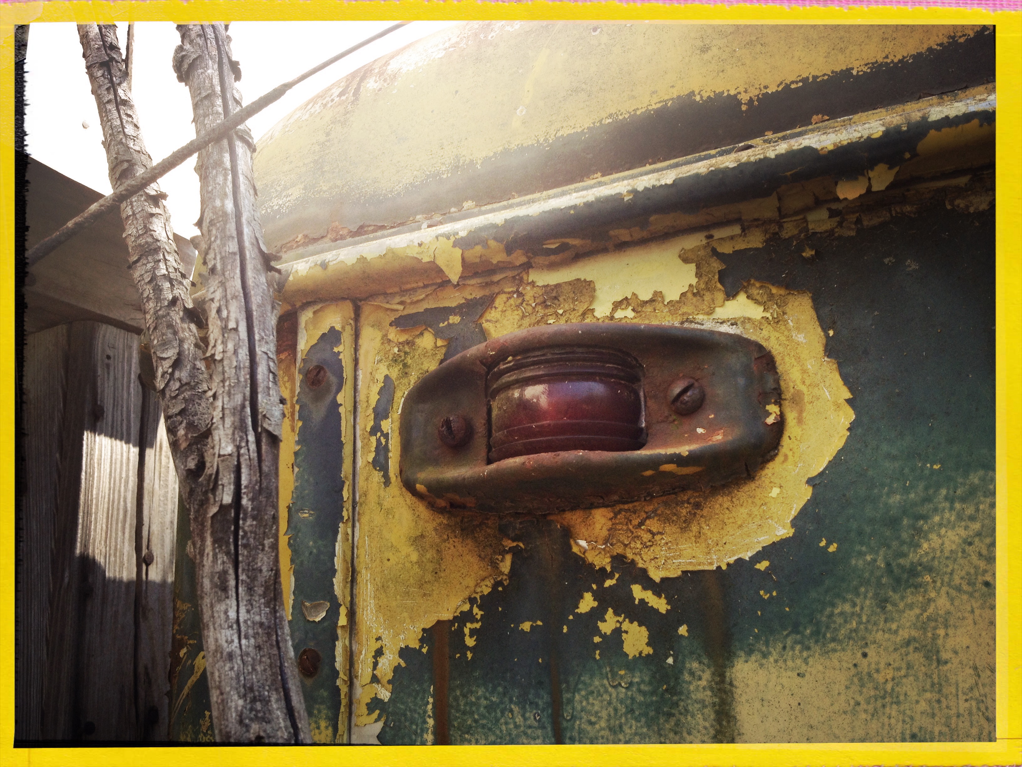
LeRoy's bus

Maverick Channel Master

Big Ben
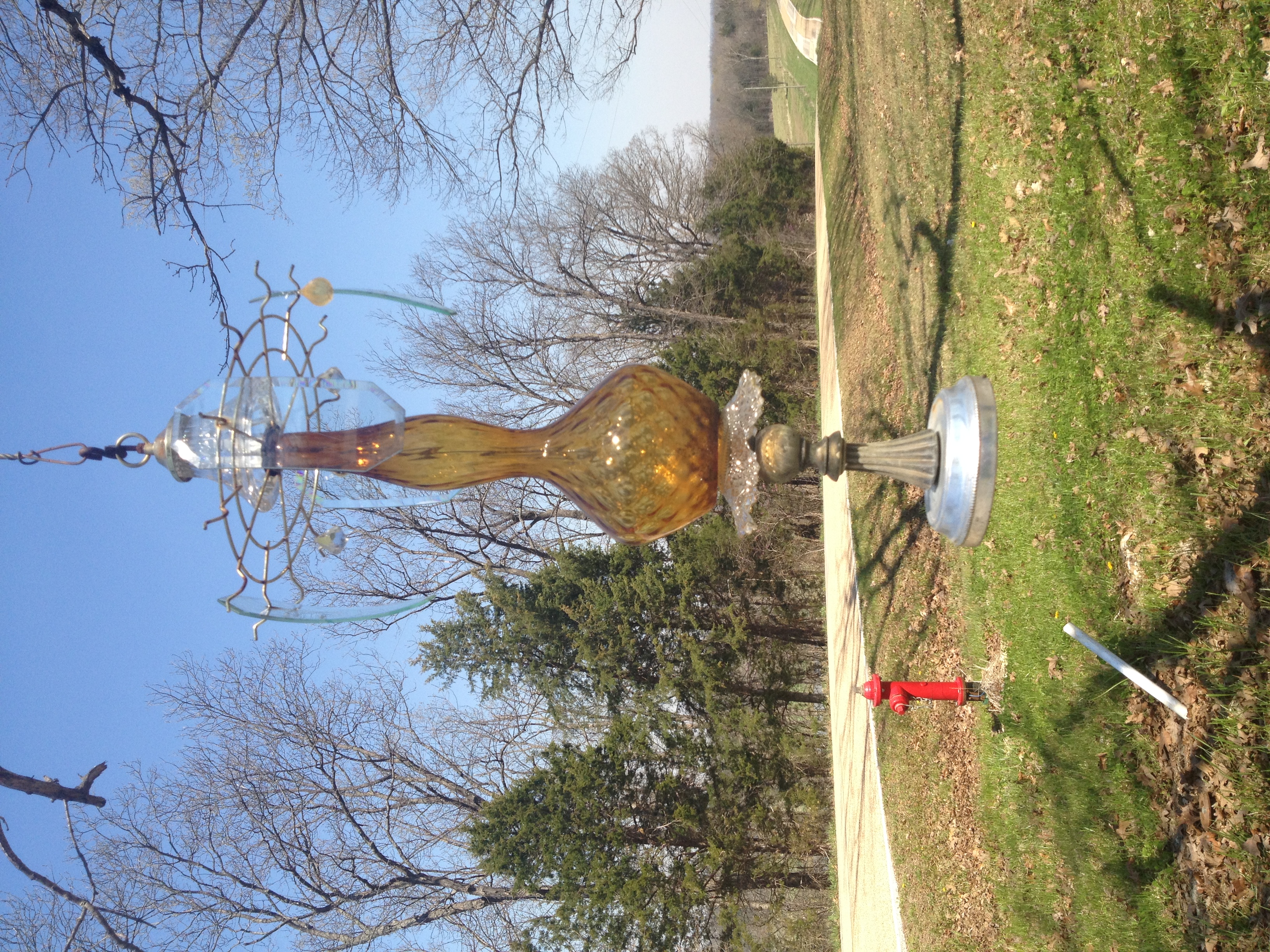
Lawn o' Lamps
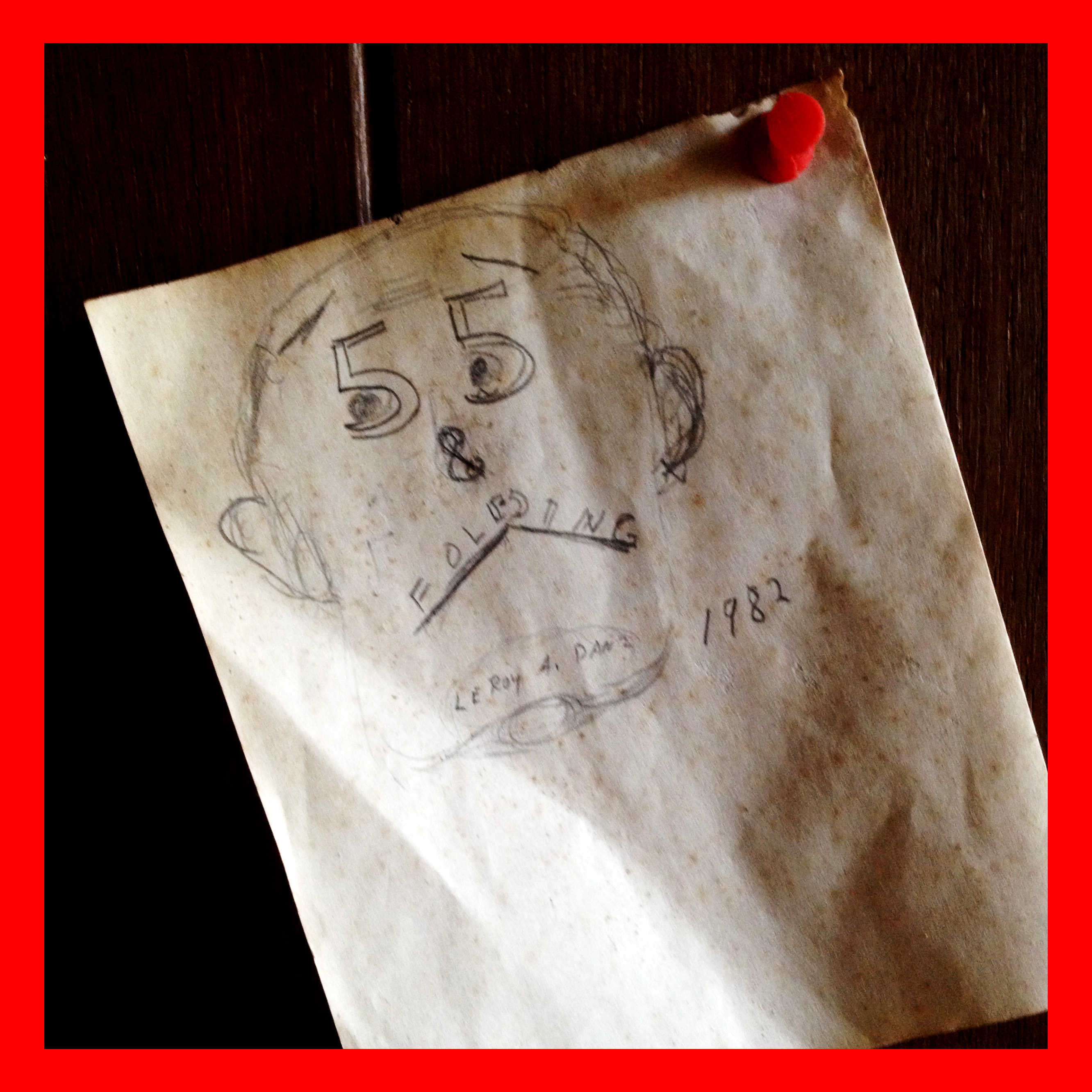
55 & Folding

Razors & hair tonic

Krypton Bulb
Day glow
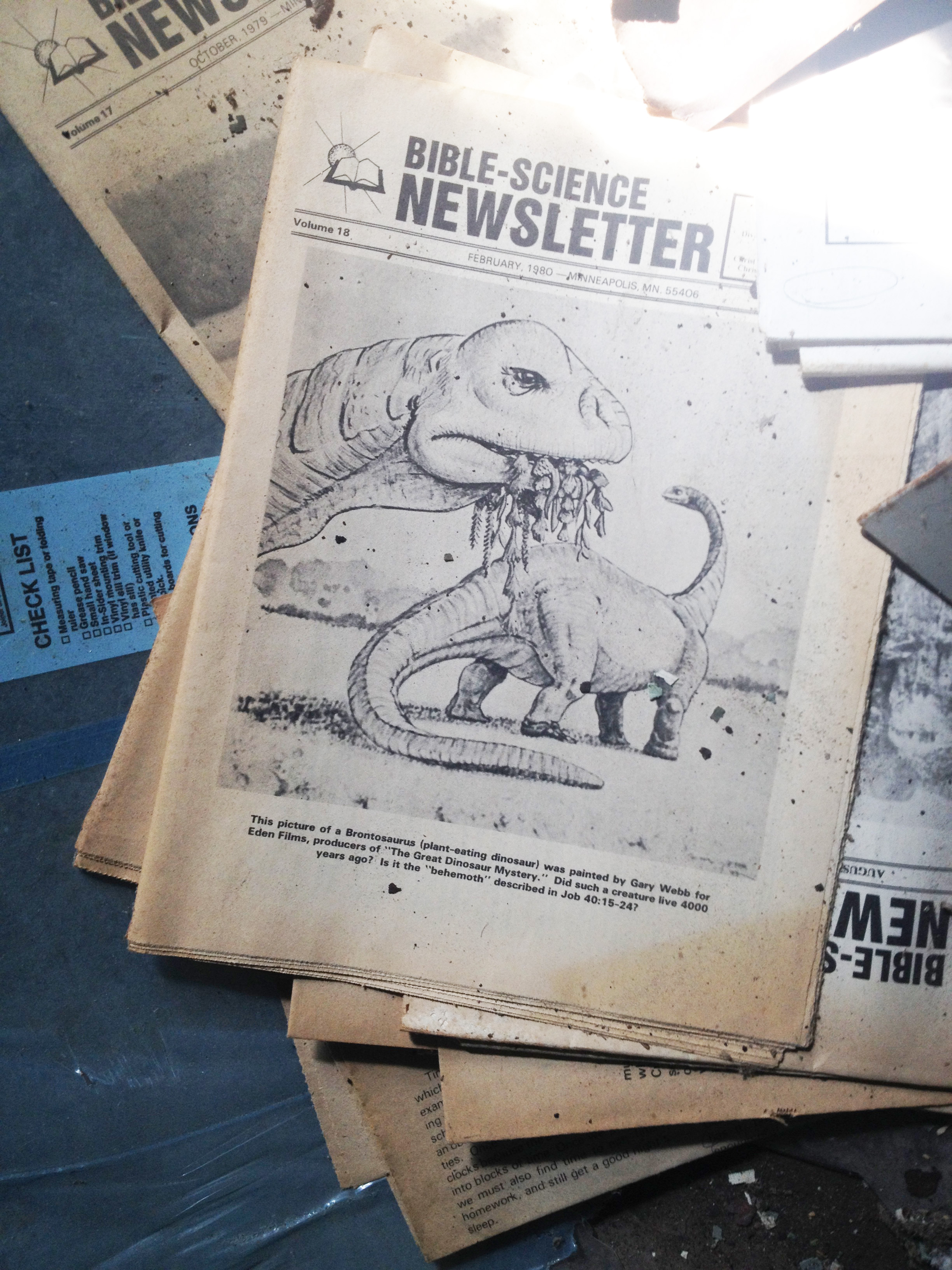
Young-Earthin'

Anchovy!
Topographic Map of Boone Township, MO, USA
Find elevation by address:

Places in Boone Township, MO, USA:
Places near Boone Township, MO, USA:
S Lake Dr, Leslie, MO, USA
Champion City Church Road
Leslie
7254 Indian Bend Rd
Beaufort
US-50, Beaufort, MO, USA
Wildwood Road
Franklin County
Japan
184 Dinky Rd
Meramec Township
Rosebud
36 Taylor St, Sullivan, MO, USA
Sullivan
North Service Rd W, Bourbon, MO, USA
Union Township
US-50, Union, MO, USA
Saint Cloud
W Springfield Rd, St Clair, MO, USA
Meramec Caverns
Recent Searches:
- Elevation of Corso Fratelli Cairoli, 35, Macerata MC, Italy
- Elevation of Tallevast Rd, Sarasota, FL, USA
- Elevation of 4th St E, Sonoma, CA, USA
- Elevation of Black Hollow Rd, Pennsdale, PA, USA
- Elevation of Oakland Ave, Williamsport, PA, USA
- Elevation of Pedrógão Grande, Portugal
- Elevation of Klee Dr, Martinsburg, WV, USA
- Elevation of Via Roma, Pieranica CR, Italy
- Elevation of Tavkvetili Mountain, Georgia
- Elevation of Hartfords Bluff Cir, Mt Pleasant, SC, USA