Elevation of Union, MO, USA
Location: United States > Missouri >
Longitude: -91.008476
Latitude: 38.4500517
Elevation: 161m / 528feet
Barometric Pressure: 99KPa
Elevation Map:
Satellite Map:
Related Photos:
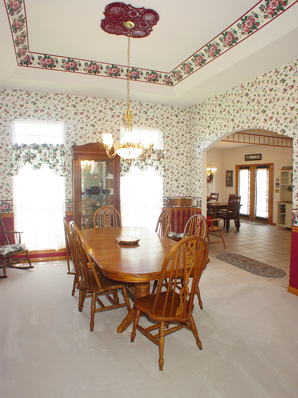
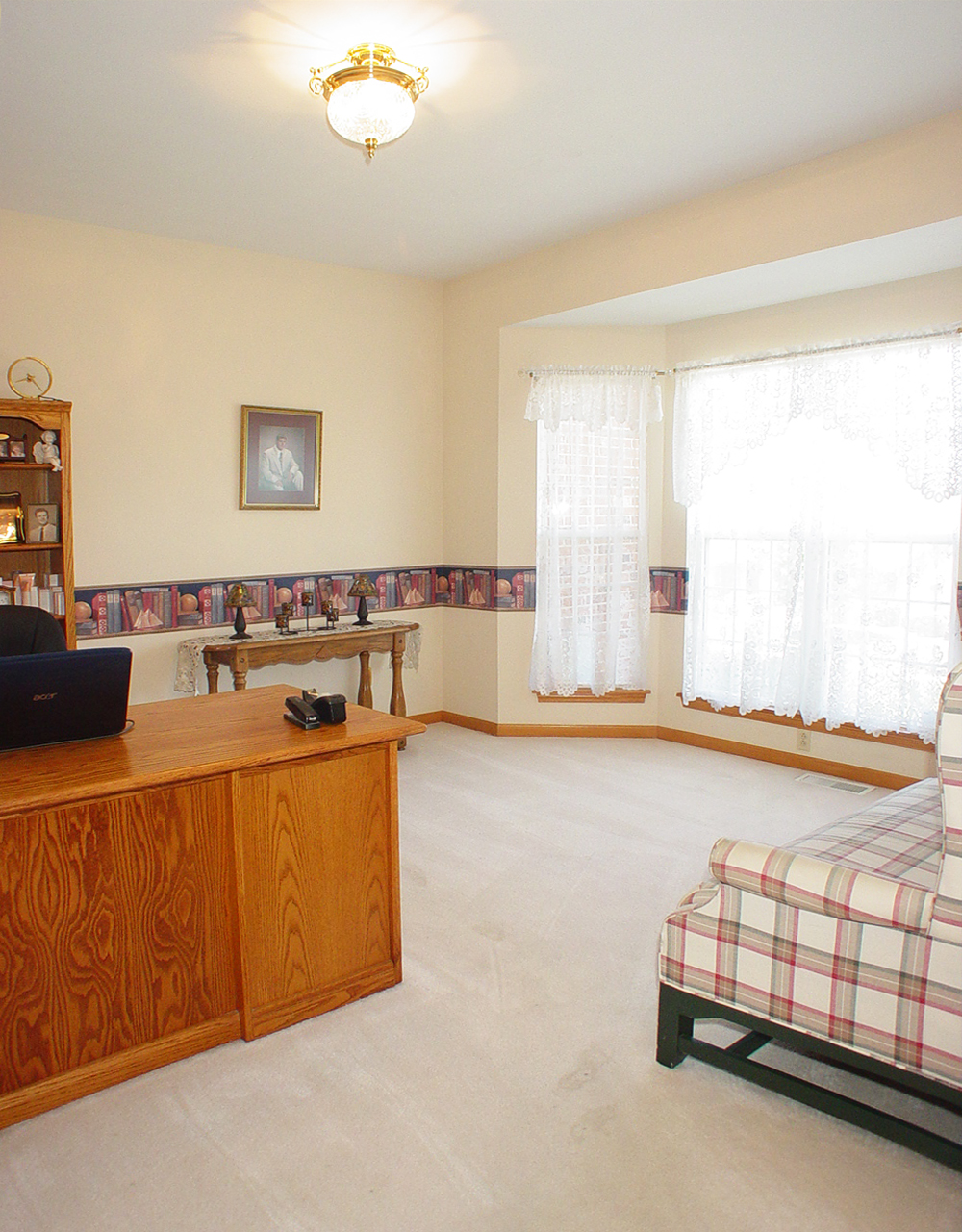
Dining Room
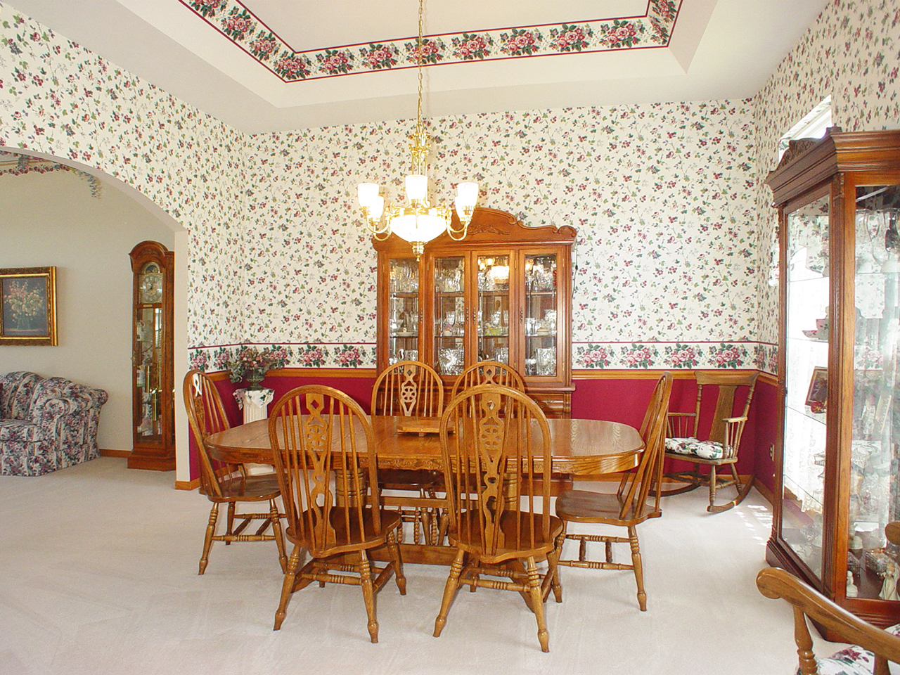
Dining Room
Fern Rock Yard
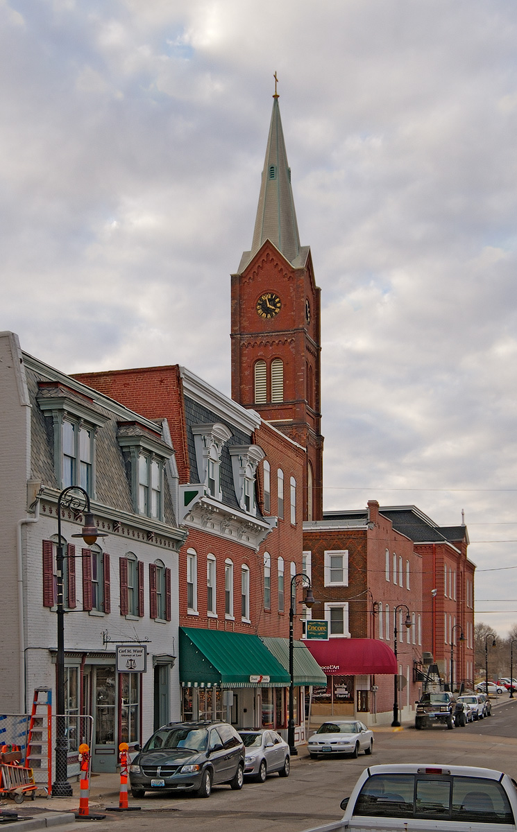
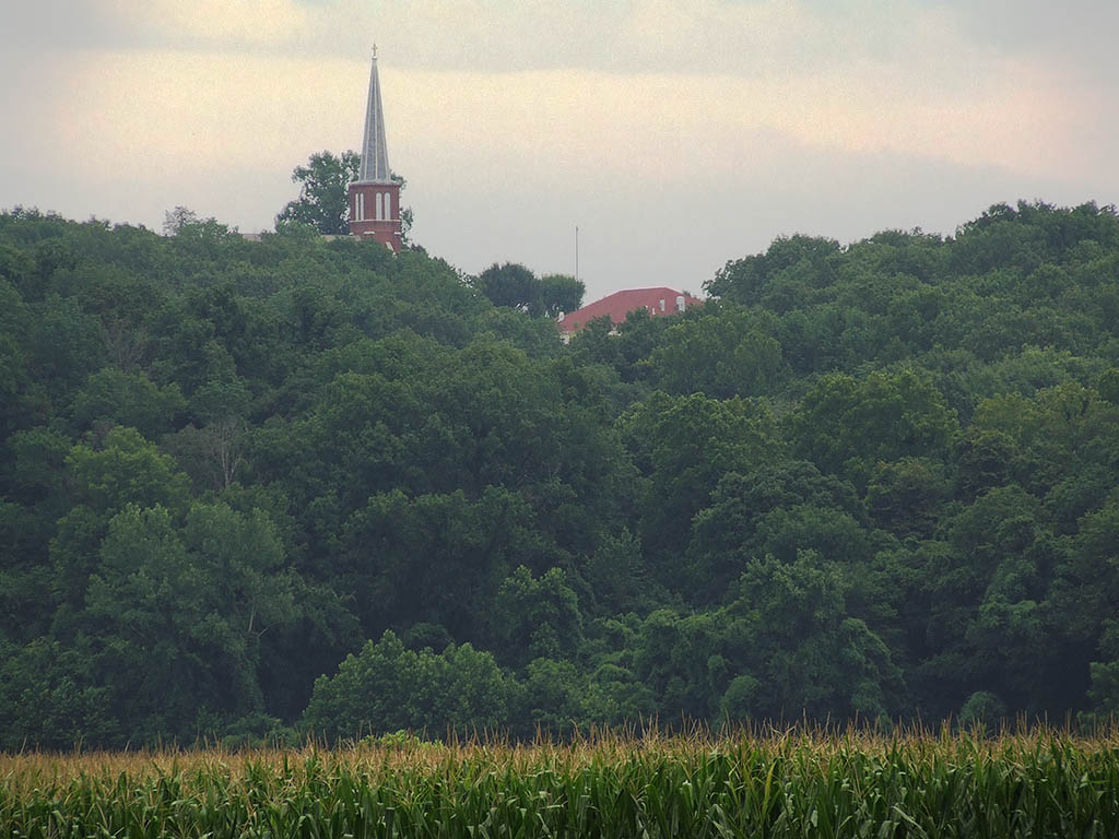
Downtown Washington, Missouri, USA - street view of Saint Francis Borgia Church tower
bascom house.jpg
Sun Room
Saint John the Baptist Roman Catholic Church, in Villa Ridge (Gildehaus), Missouri, USA - view from parking lot
Living Room
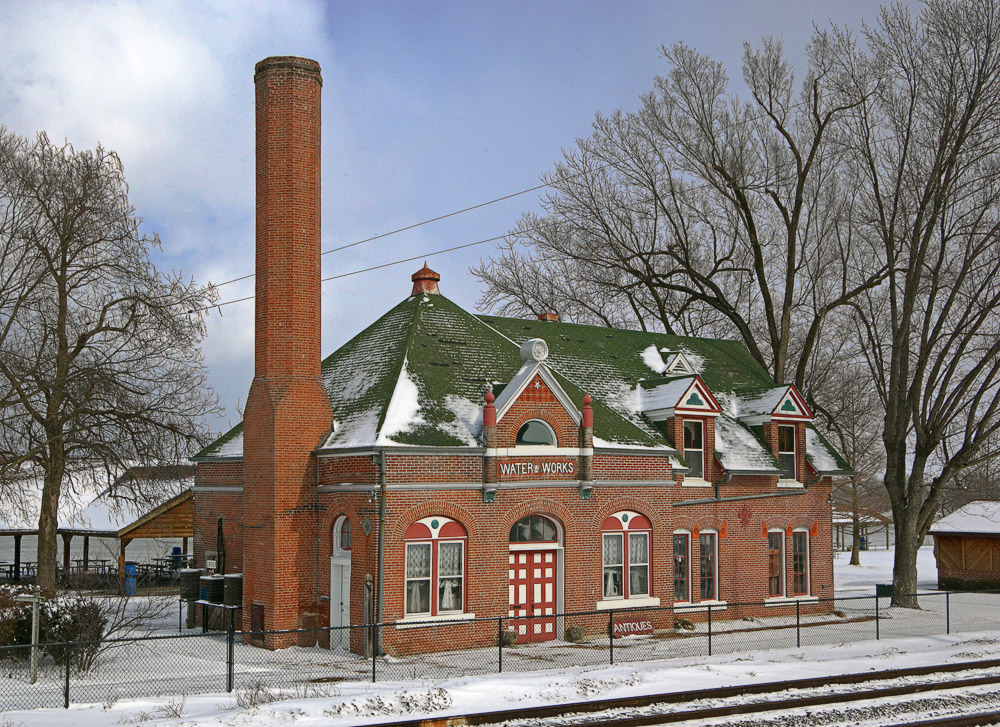
Old Water Works building, in Washington, Missouri, USA - exterior view in snow
Living Room
Saint Vincent de Paul Roman Catholic Church, in Dutzow, Missouri, USA - view from distance.jpg
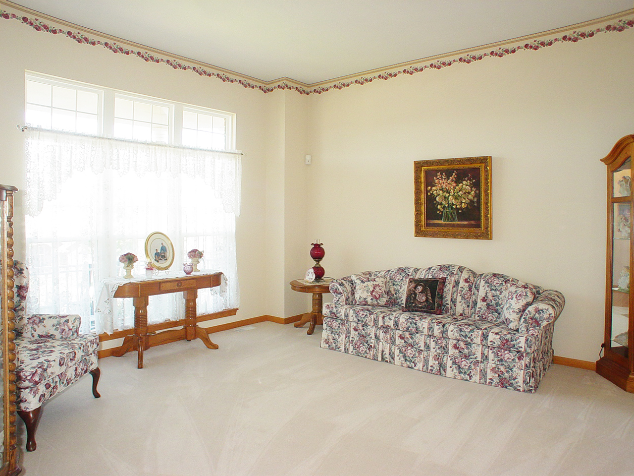
Living Room
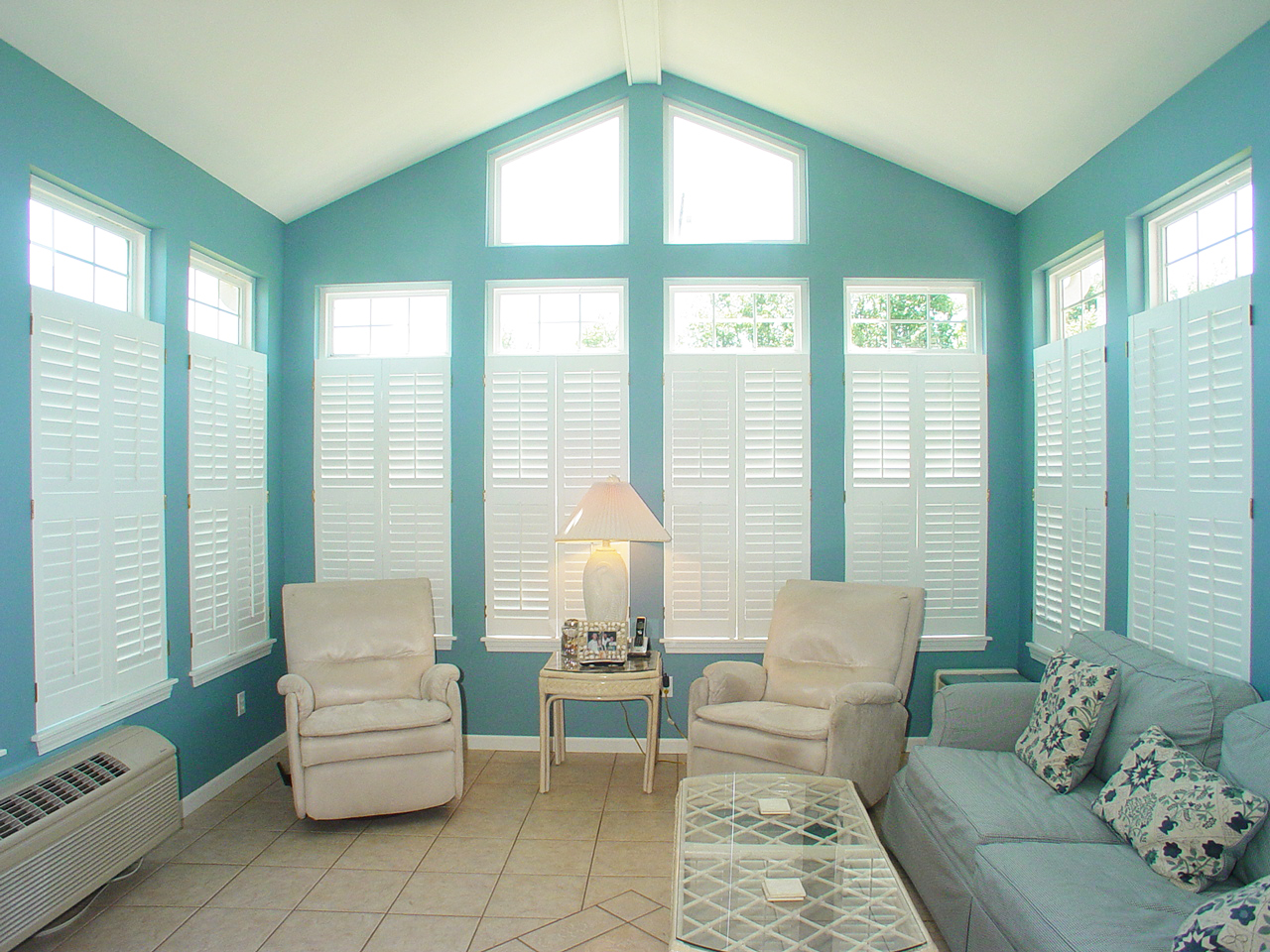
Sun Room
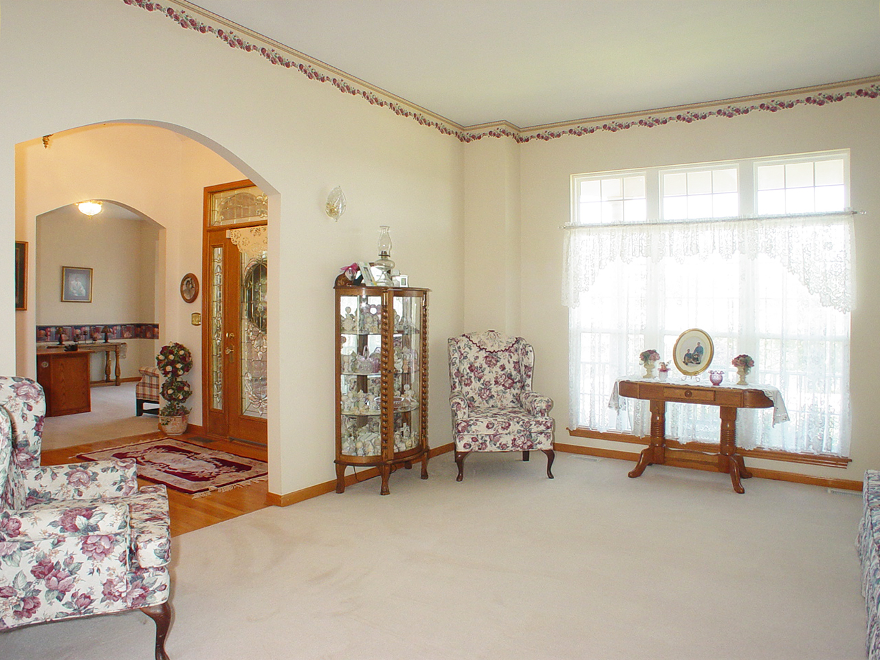
Living Room
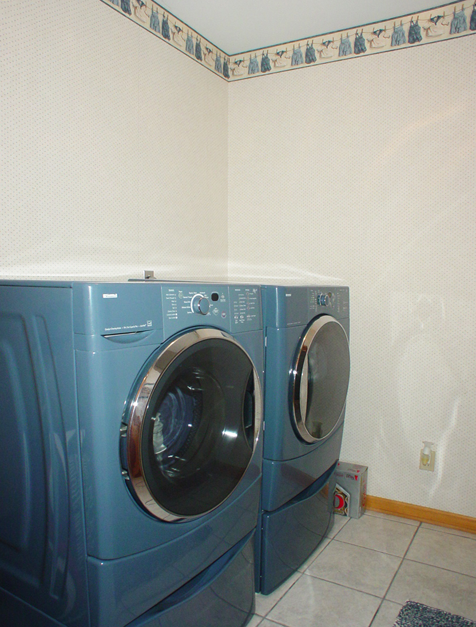
Laundry Room

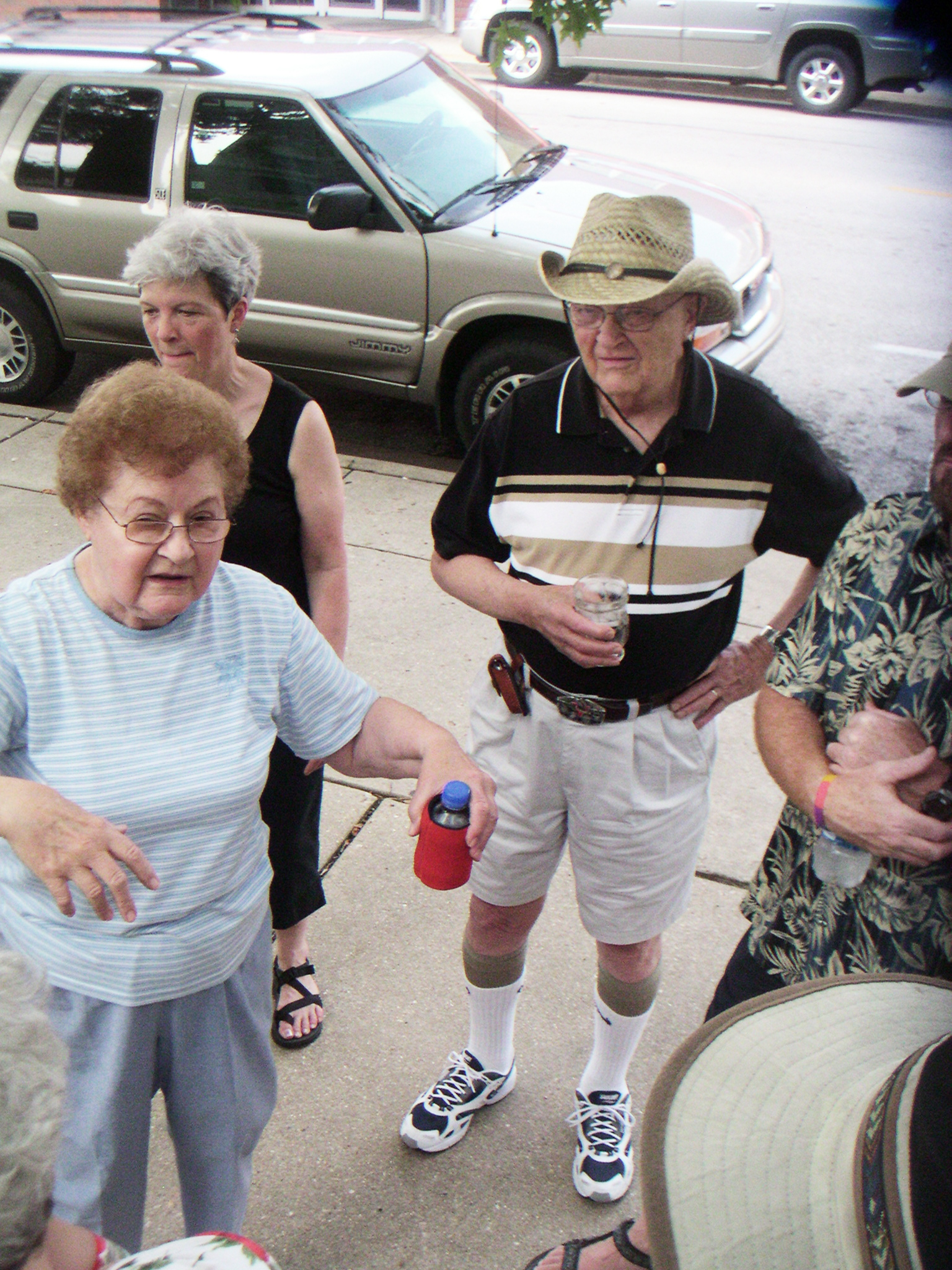
hungry? thirsty?
the view from above
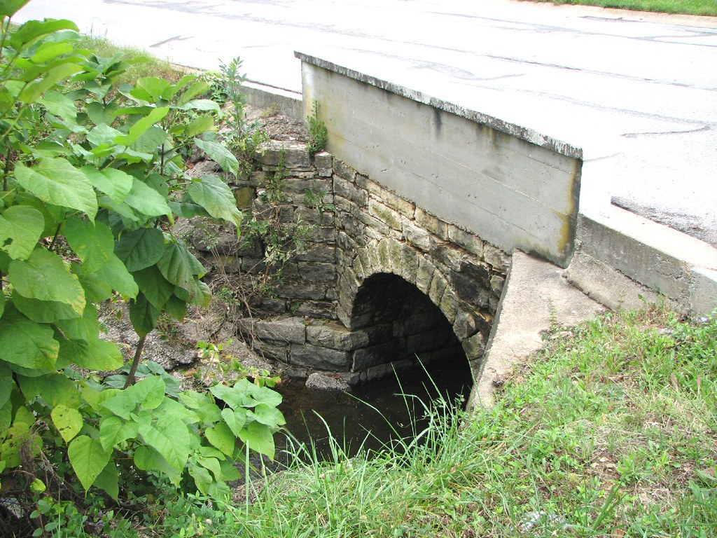
Close-up Stone Culvert-Union, MO
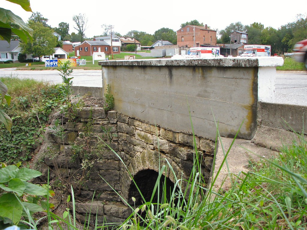
Side View Stone Culvert-Union, MO
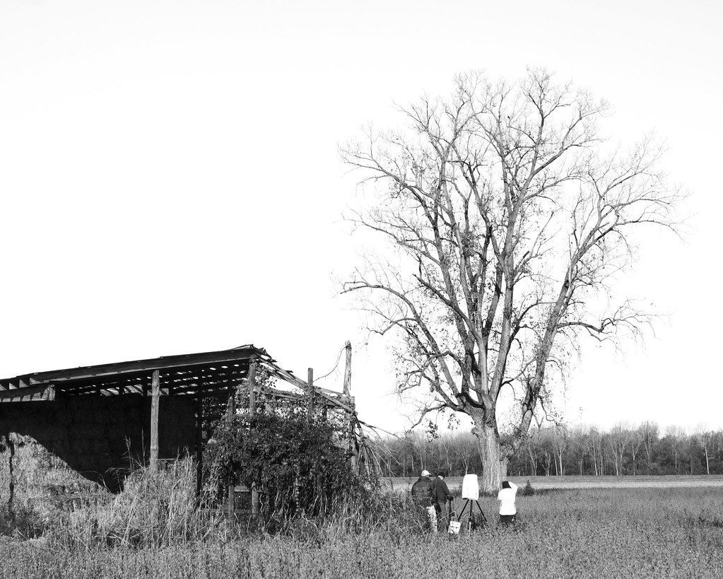
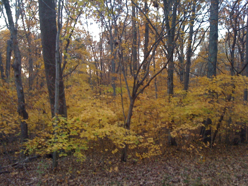
Shooting the Tree
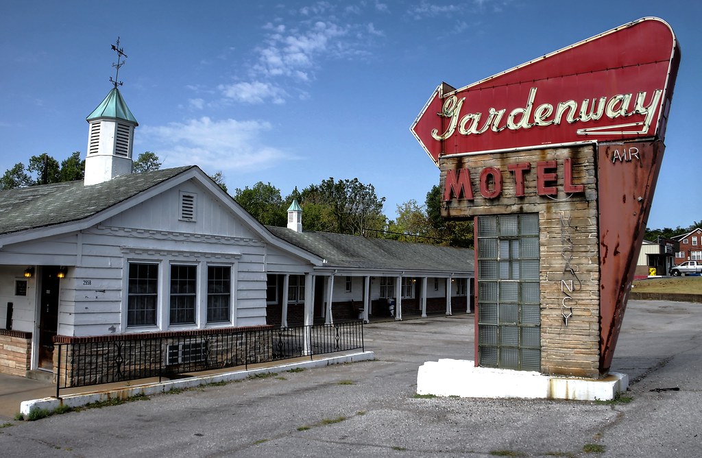
Gardenway Motel, on Route 66 at Gray Summit, Missouri

Gardenway Motel, on Route 66 at Gray Summit, Missouri
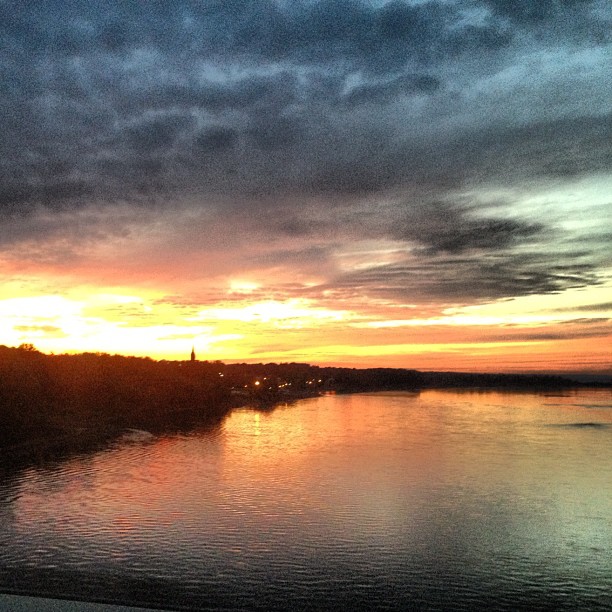
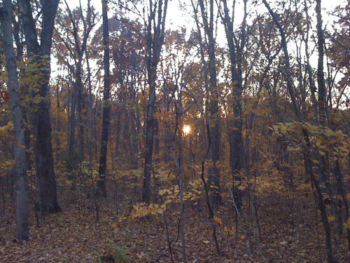
field sunset
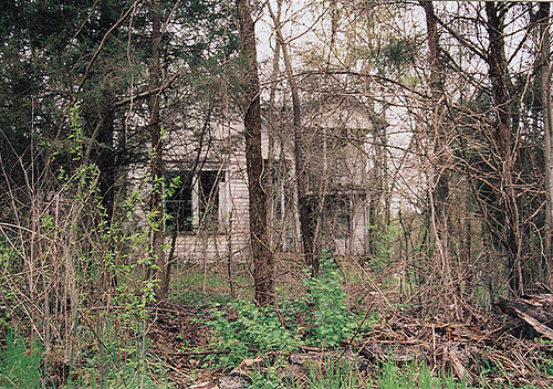
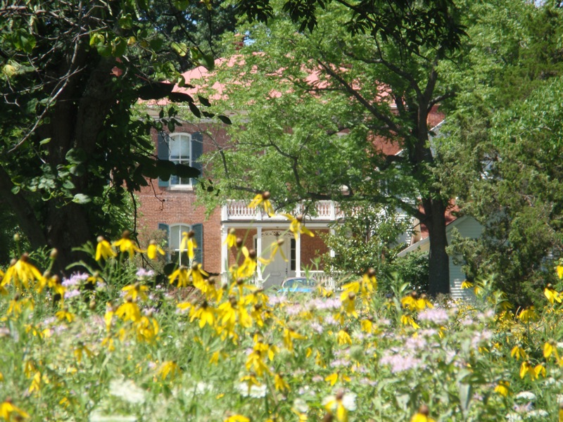
ye Olde House on the Hill
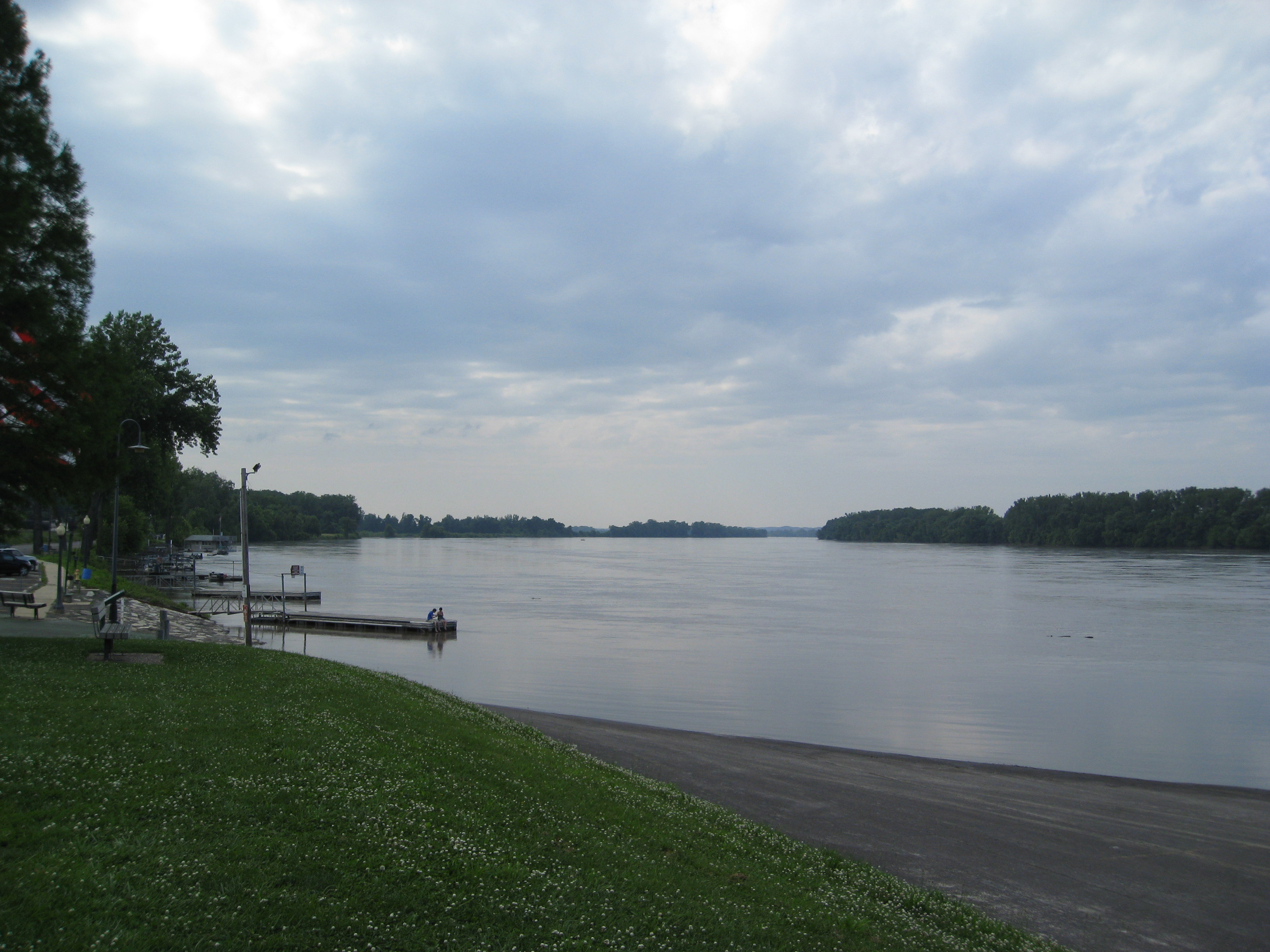
The mighty MO as we cross into Washington, MO. That steeple is the church pam and I got married in!
My favorite pic of the trip
Robertsville State Park

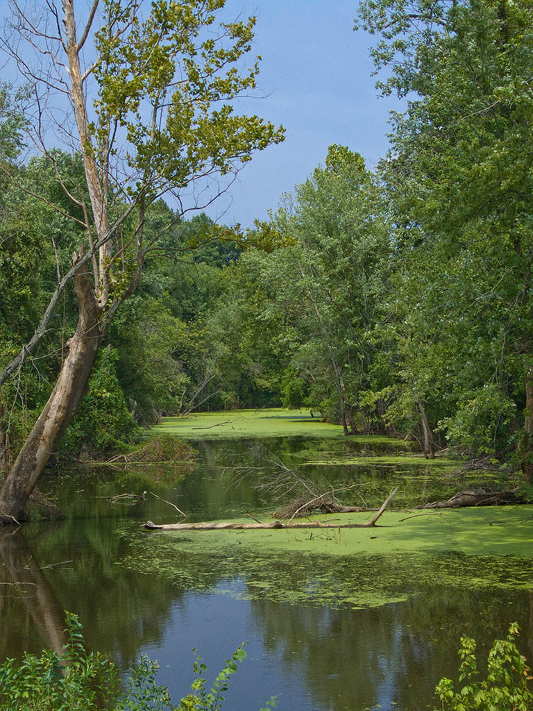
Meramec River
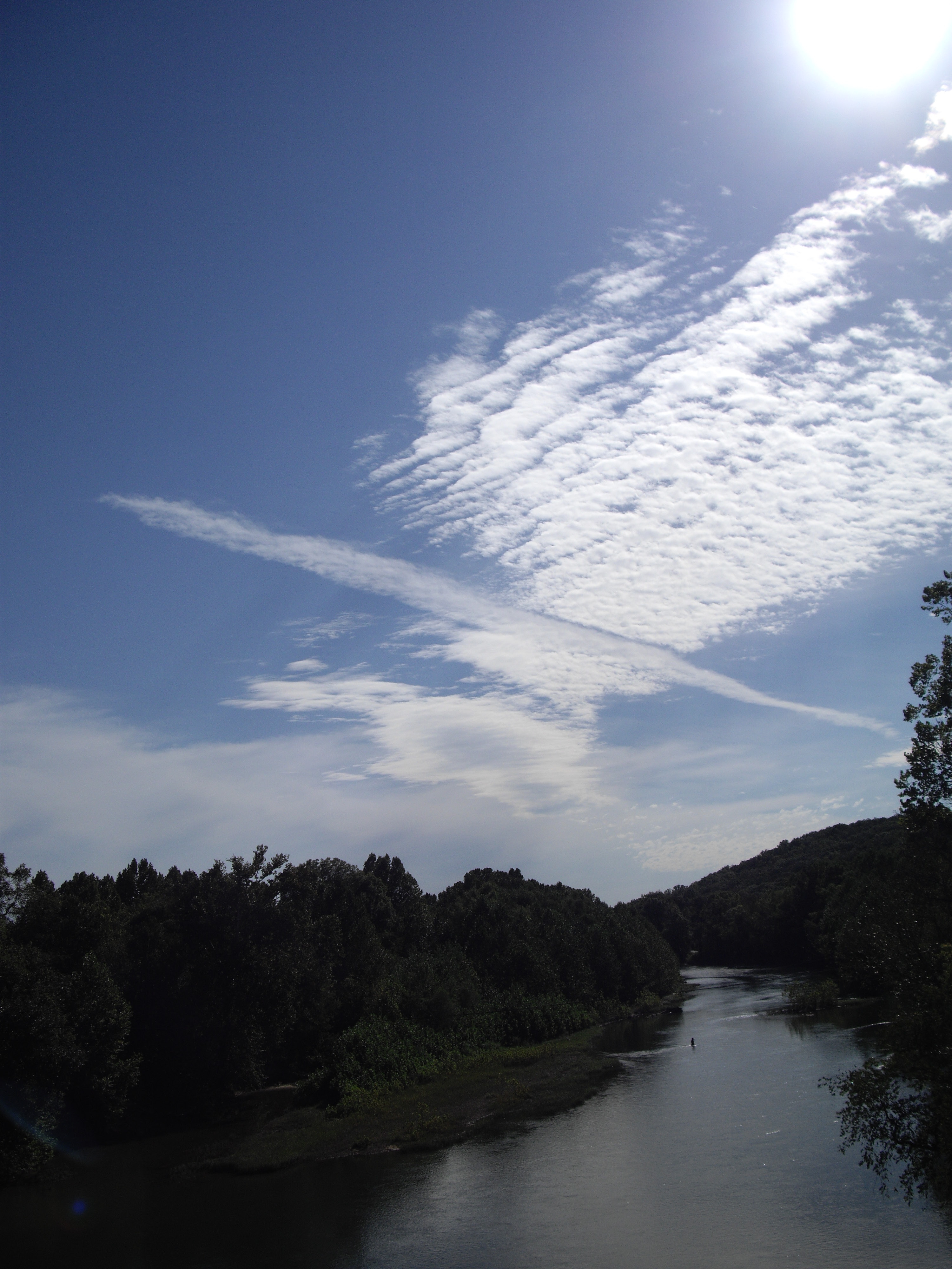
Meramec River
Robertsville State Park
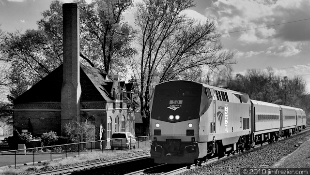
And it's ontime!

Meramec and Bourbeuse Rivers
Lake St Clair
Robertsville State Park
Lake St Clair
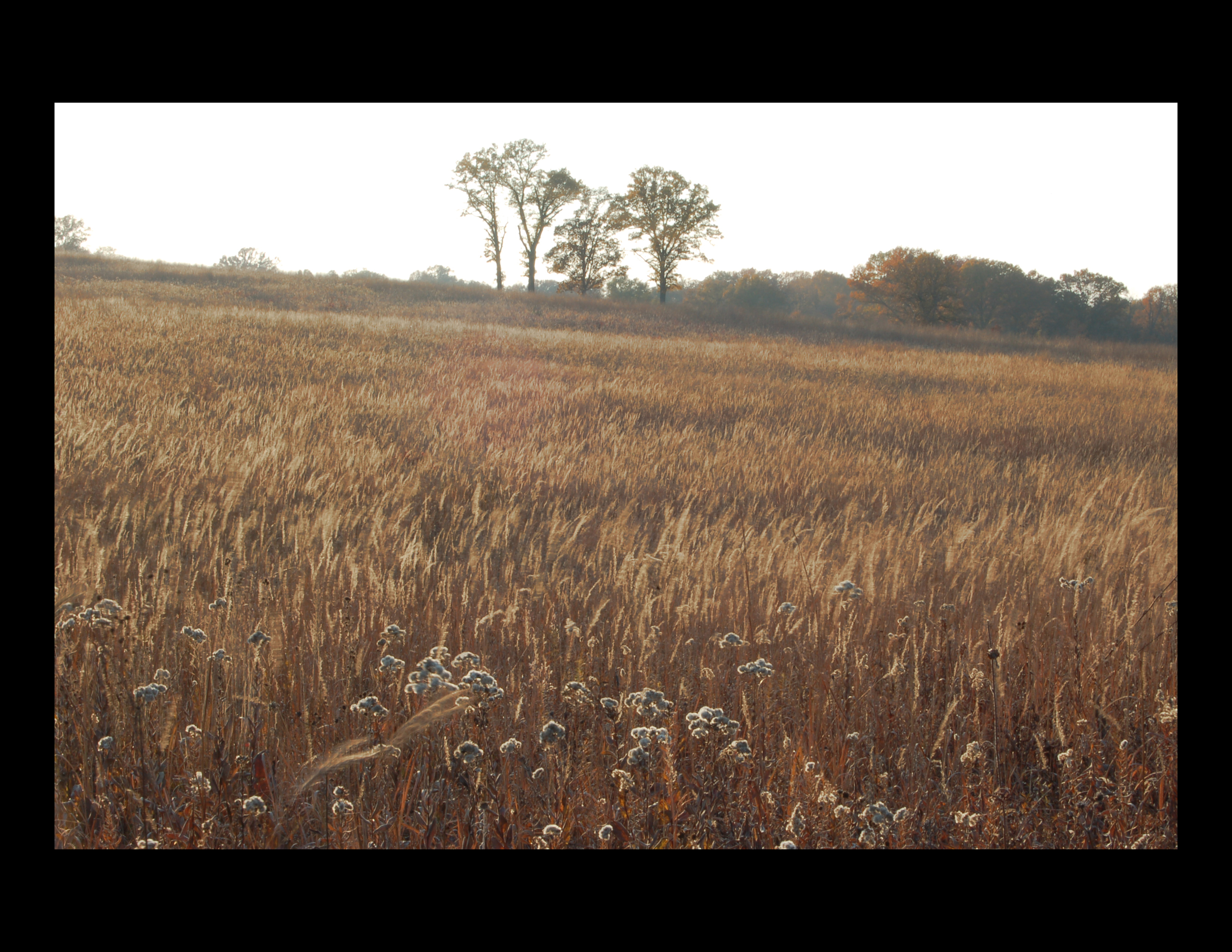
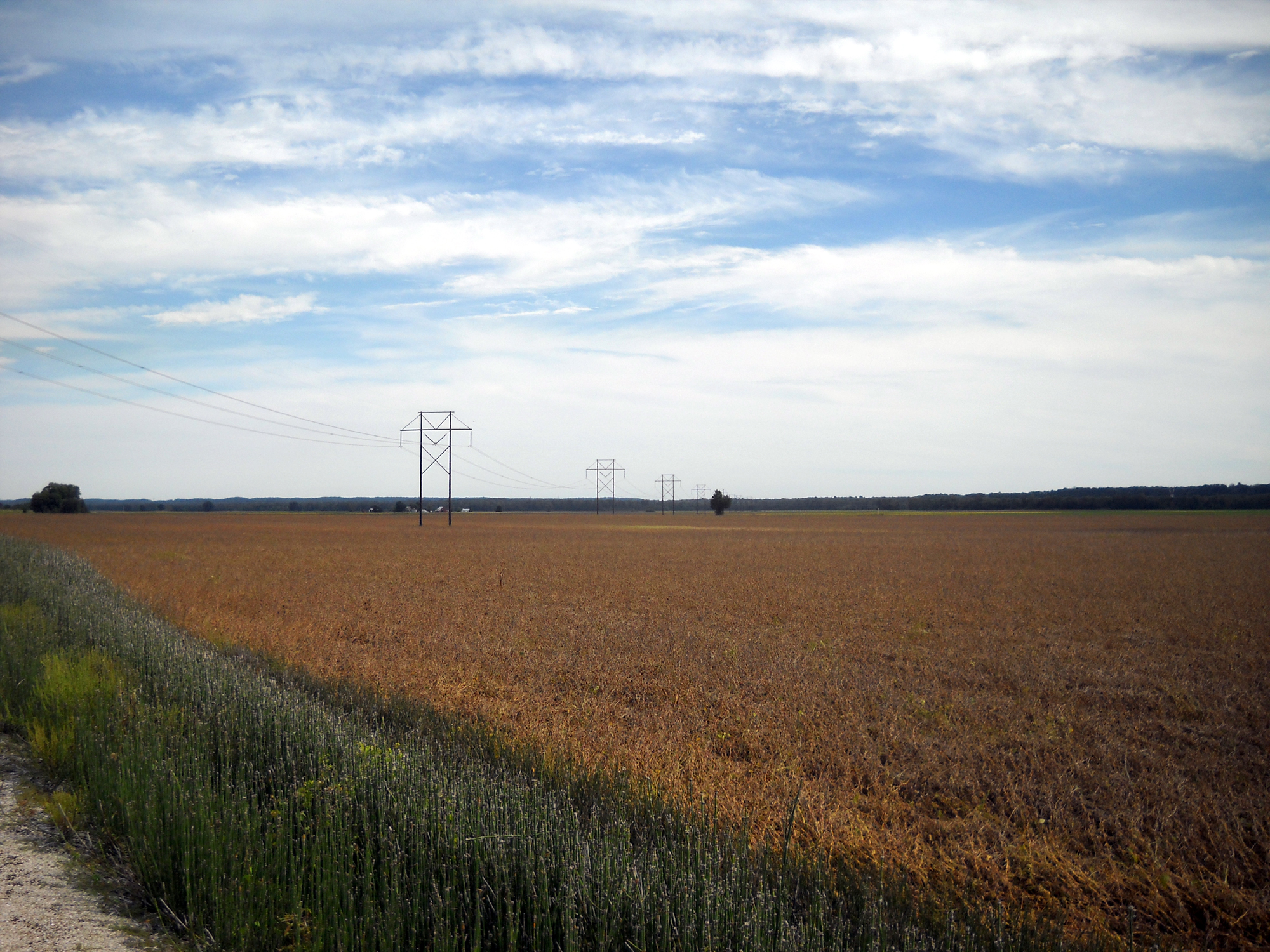
fields of gold
The man with the plan...and the equipment
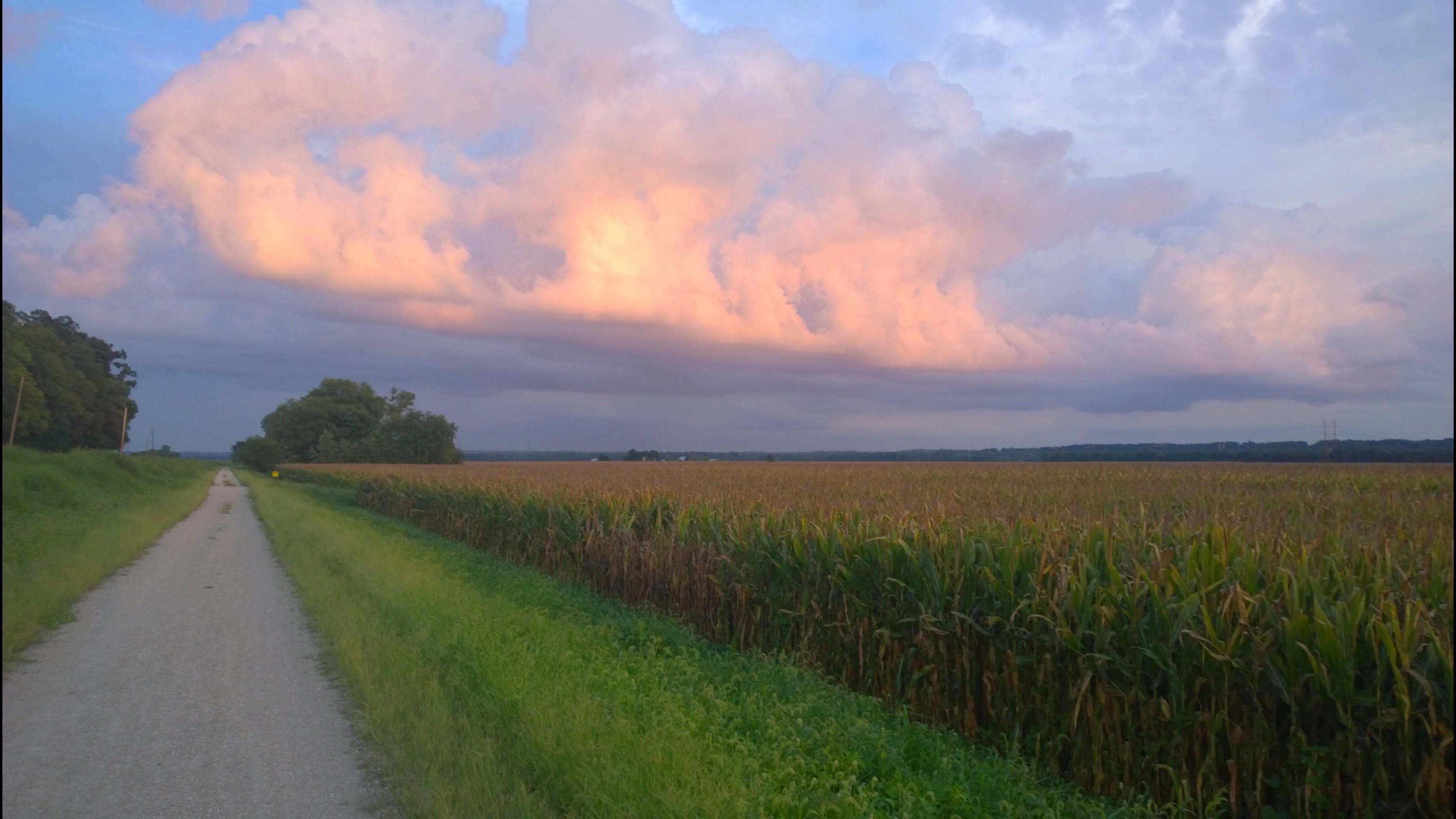
Katy Trail
Saint John Creek, in Washington, Missouri, USA.jpg
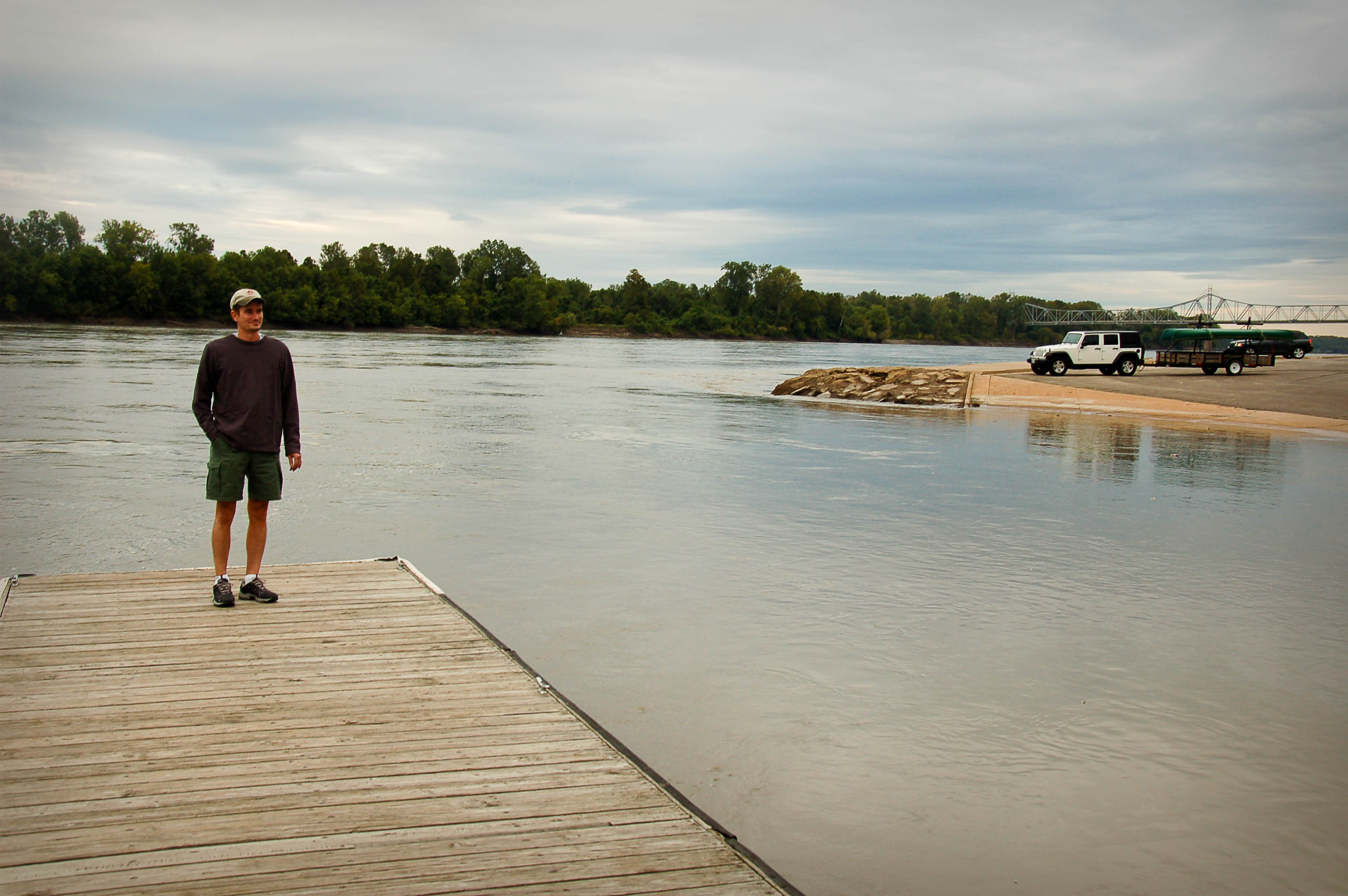
Missouri River
Topographic Map of Union, MO, USA
Find elevation by address:

Places in Union, MO, USA:
Places near Union, MO, USA:
Franklin Ave, Union, MO, USA
500 E Locust St
417 Crestview Dr
6510 State Hwy Bb
7711 Lakefield Ct
3090 Beck Addition Rd
Mercy Clinic Primary Care - St. Andrews Drive
Rose Lee Lane
Gildehaus Rd, Villa Ridge, MO, USA
8290 State Hwy 47
Saint Clair
249 Hwy Ww
Seibert Dr, Moselle, MO, USA
Villa Ridge
E Villa Ridge Rd, Villa Ridge, MO, USA
600 Hwy At
Old Cove Canoe And Kayak
Dollar General
200 Checkerboard Dr
5514 Oak Grove Church Rd
Recent Searches:
- Elevation of Corso Fratelli Cairoli, 35, Macerata MC, Italy
- Elevation of Tallevast Rd, Sarasota, FL, USA
- Elevation of 4th St E, Sonoma, CA, USA
- Elevation of Black Hollow Rd, Pennsdale, PA, USA
- Elevation of Oakland Ave, Williamsport, PA, USA
- Elevation of Pedrógão Grande, Portugal
- Elevation of Klee Dr, Martinsburg, WV, USA
- Elevation of Via Roma, Pieranica CR, Italy
- Elevation of Tavkvetili Mountain, Georgia
- Elevation of Hartfords Bluff Cir, Mt Pleasant, SC, USA