Elevation of New Haven, MO, USA
Location: United States > Missouri > Franklin County >
Longitude: -91.219041
Latitude: 38.6083822
Elevation: 205m / 673feet
Barometric Pressure: 99KPa
Elevation Map:
Satellite Map:
Related Photos:

Eclipse 1:17:21 PM
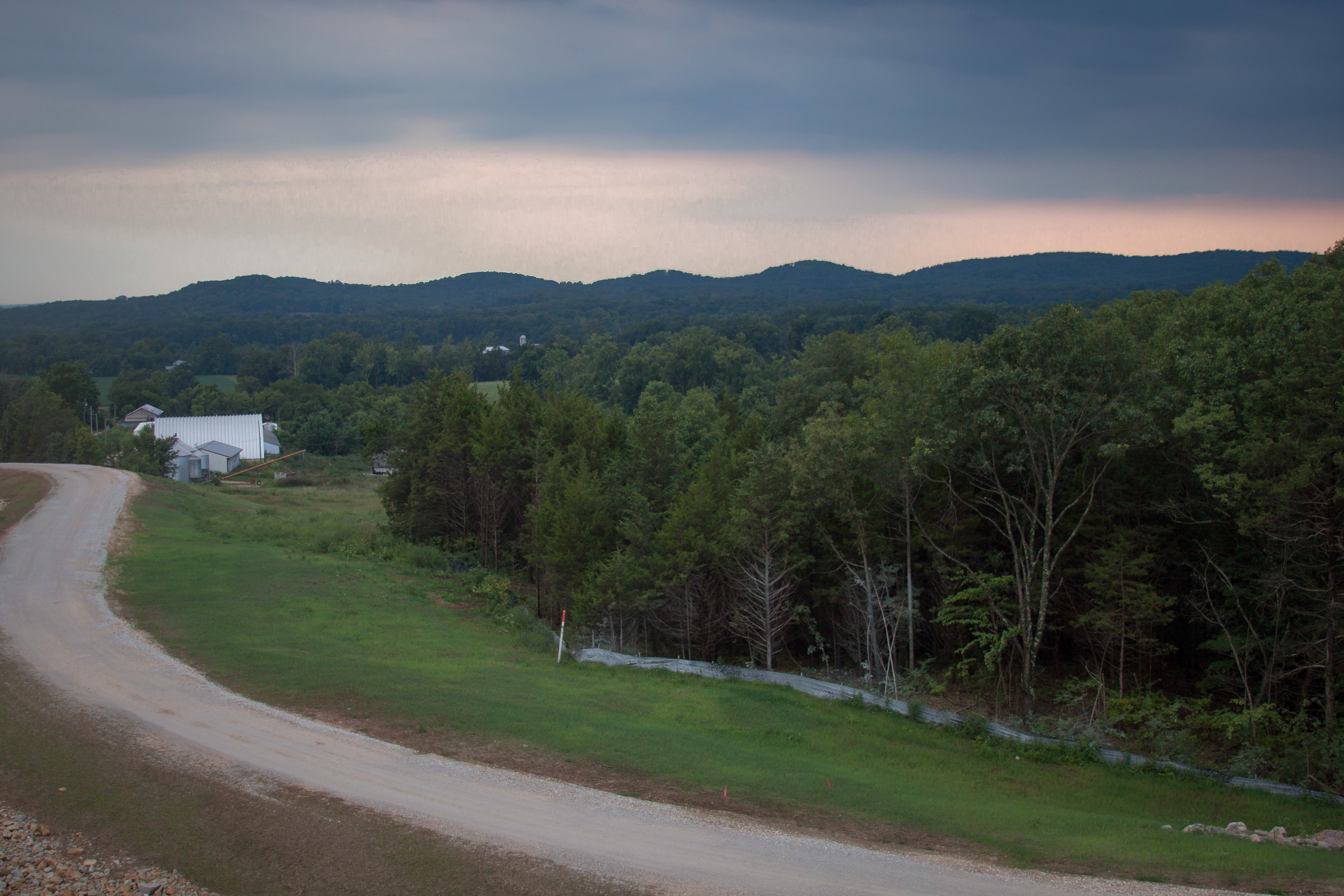
View from Hopewell Hill

My awesome view today for work!

081024-cedarcreekretreat-0048
081024-cedarcreekretreat-0078

Afternoon office view in New Haven
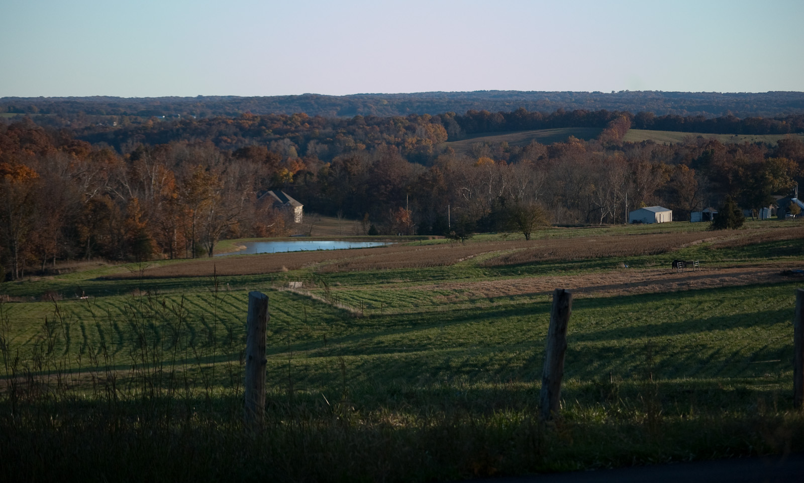
On a Hill
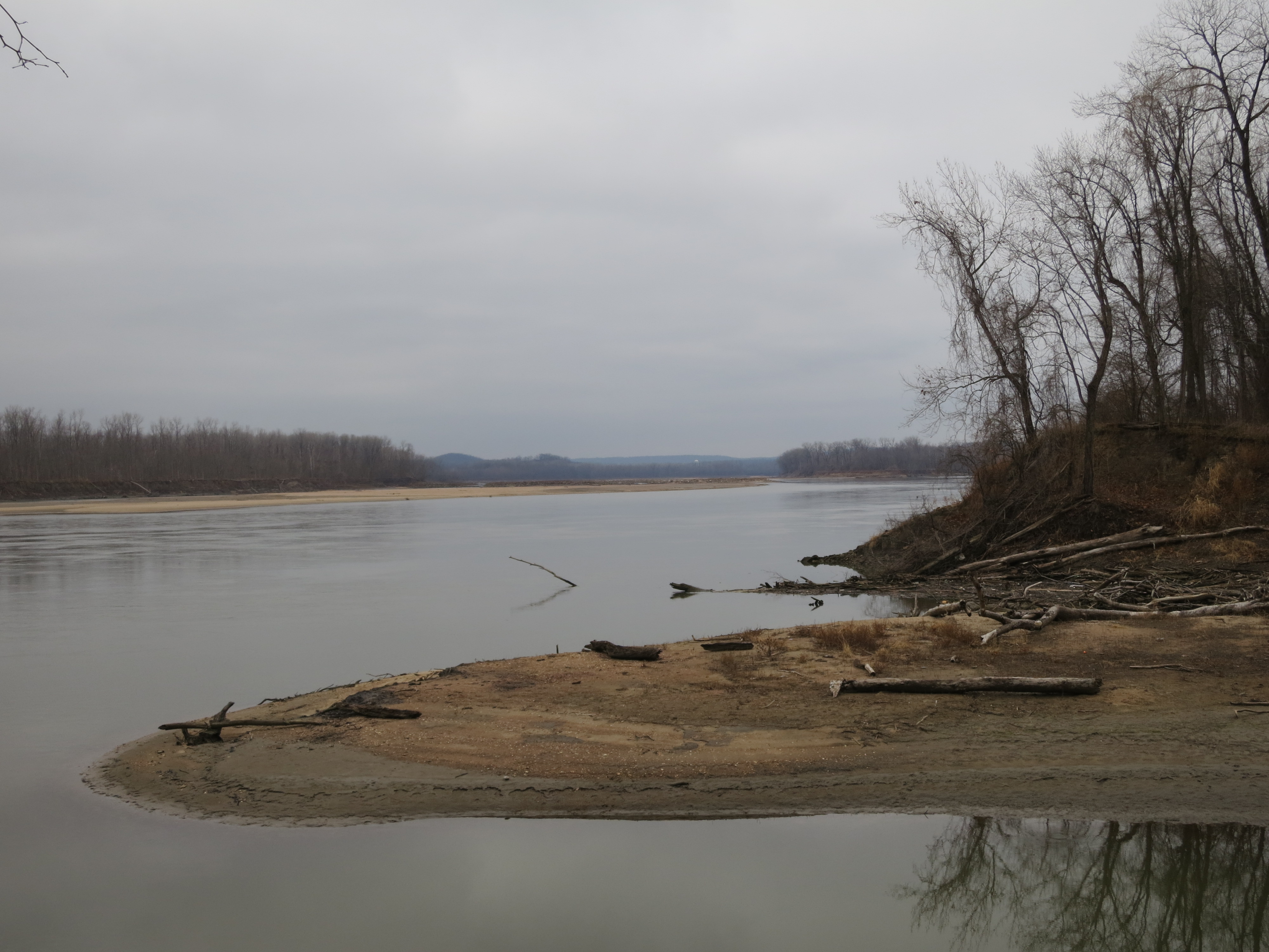
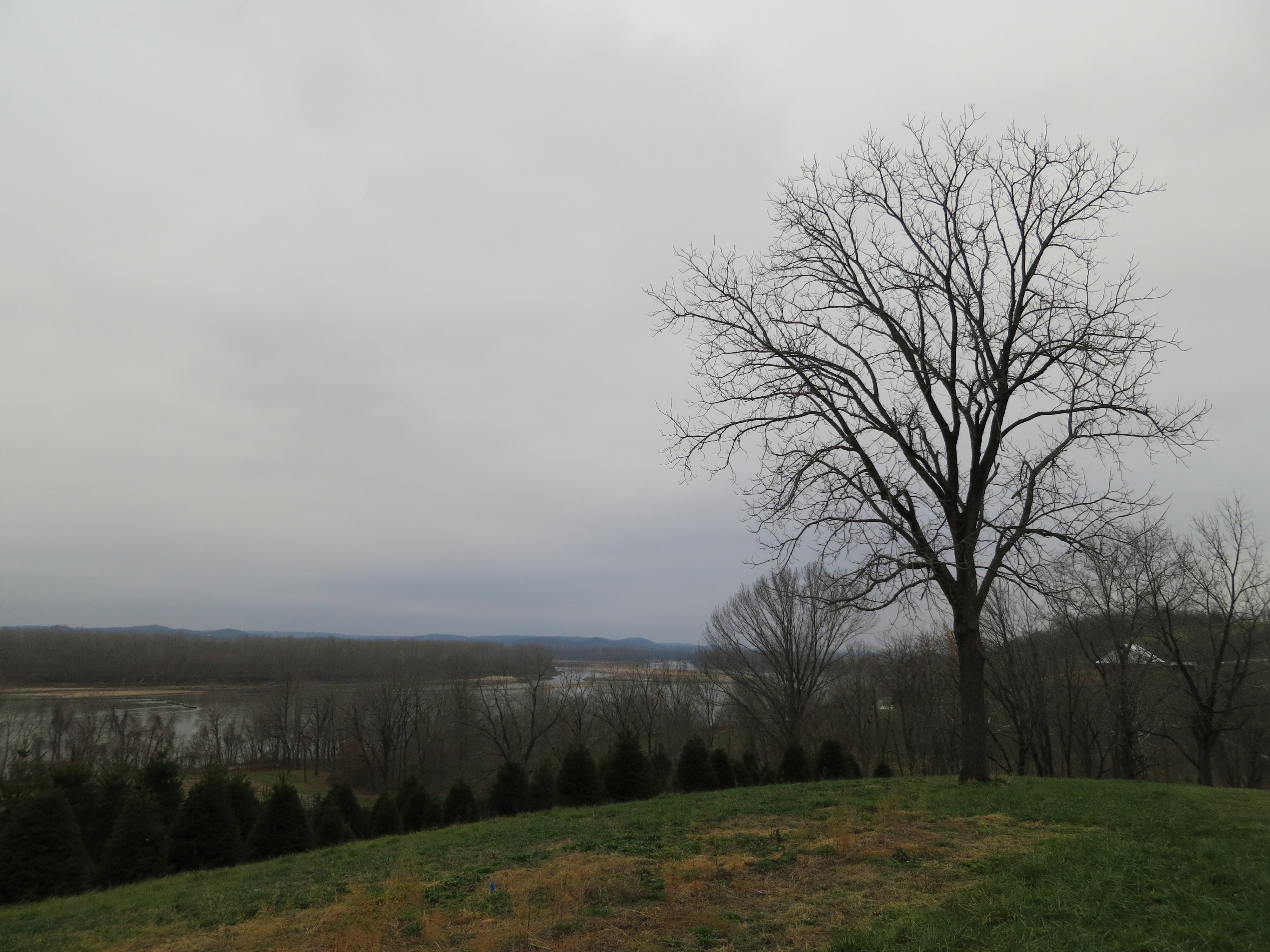
Missouri River (2)
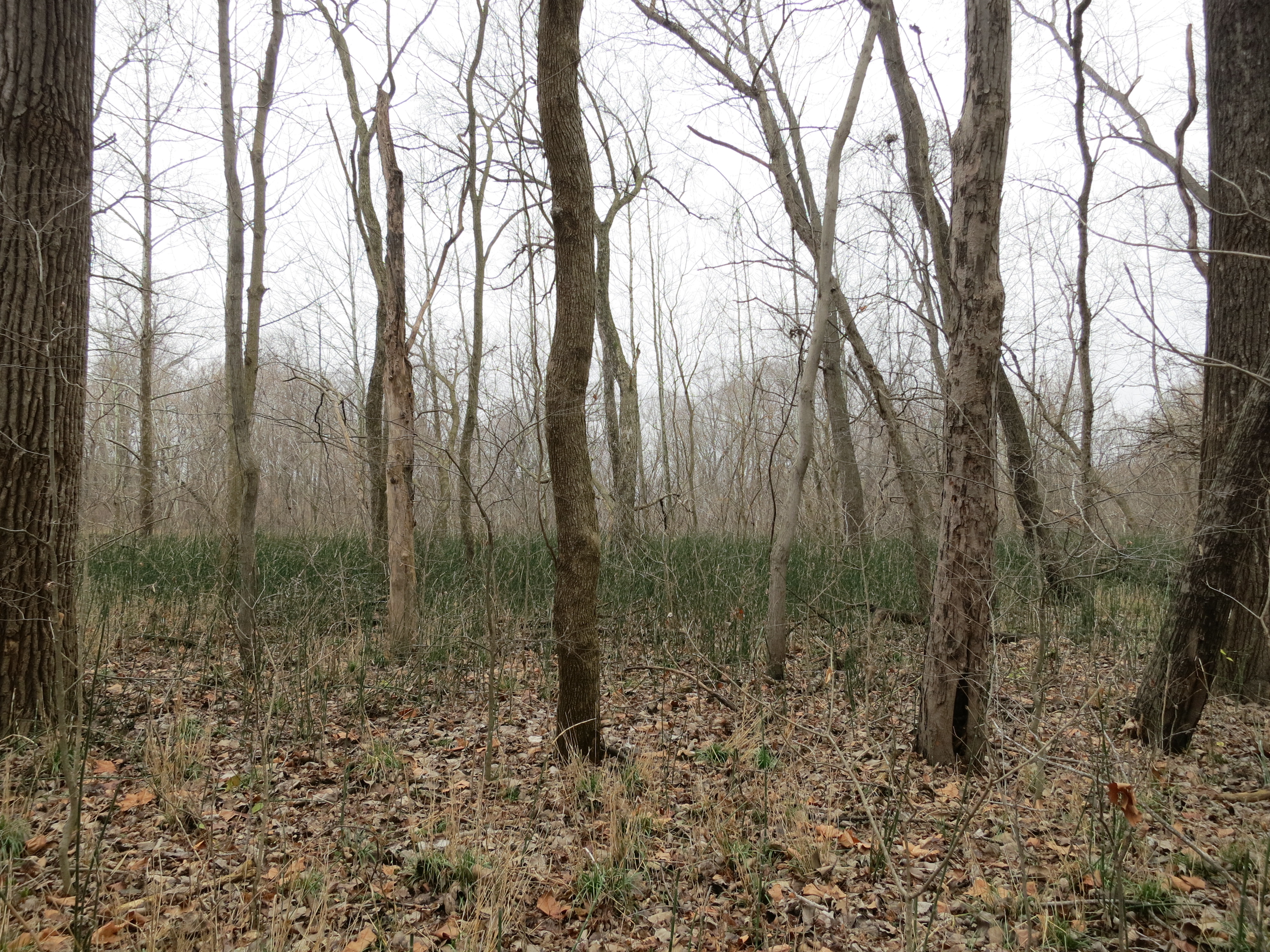
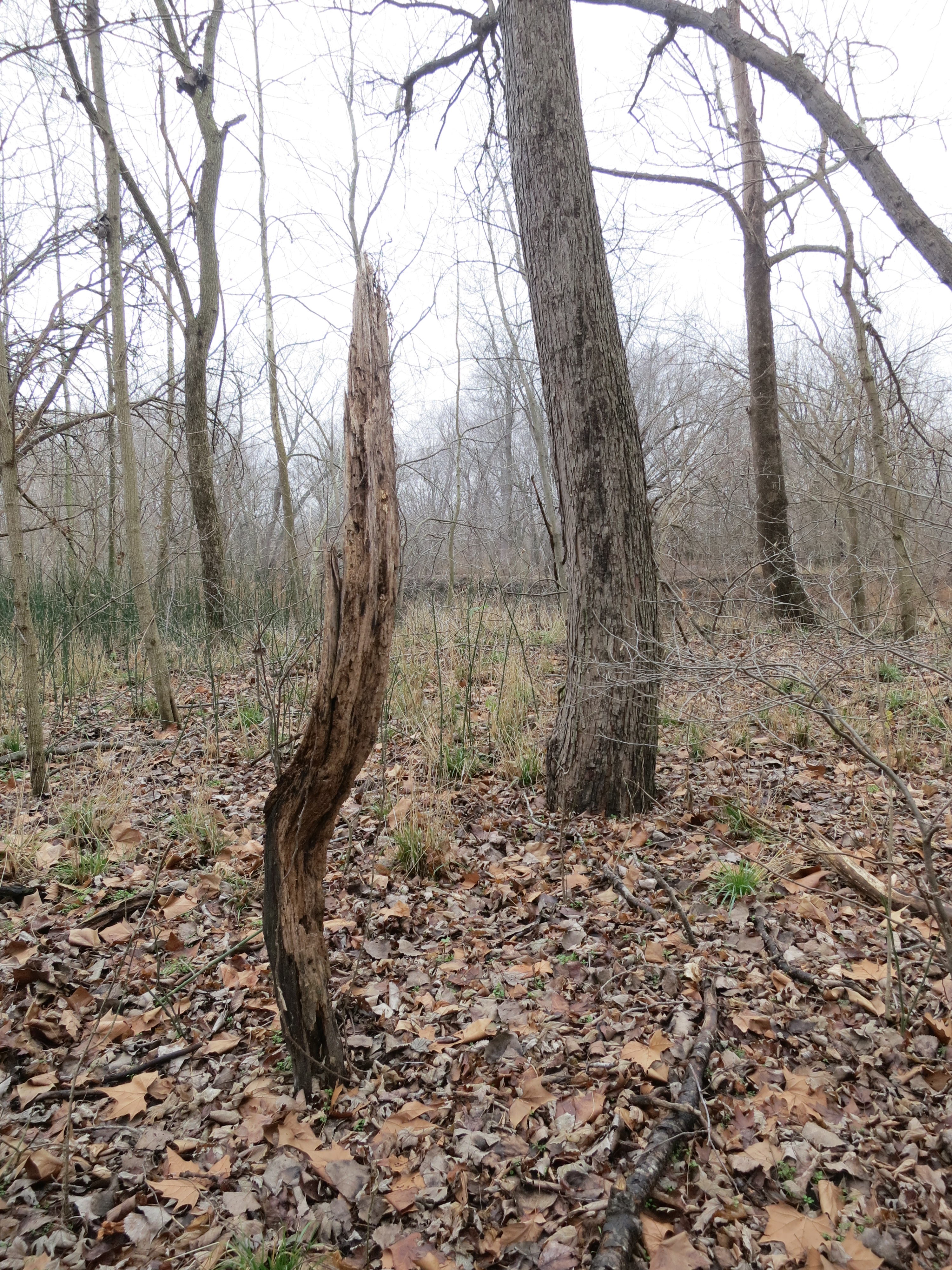
Woods (2)

kayak-0099

Family reunion: Sunset

Saint John Creek, in Washington, Missouri, USA.jpg
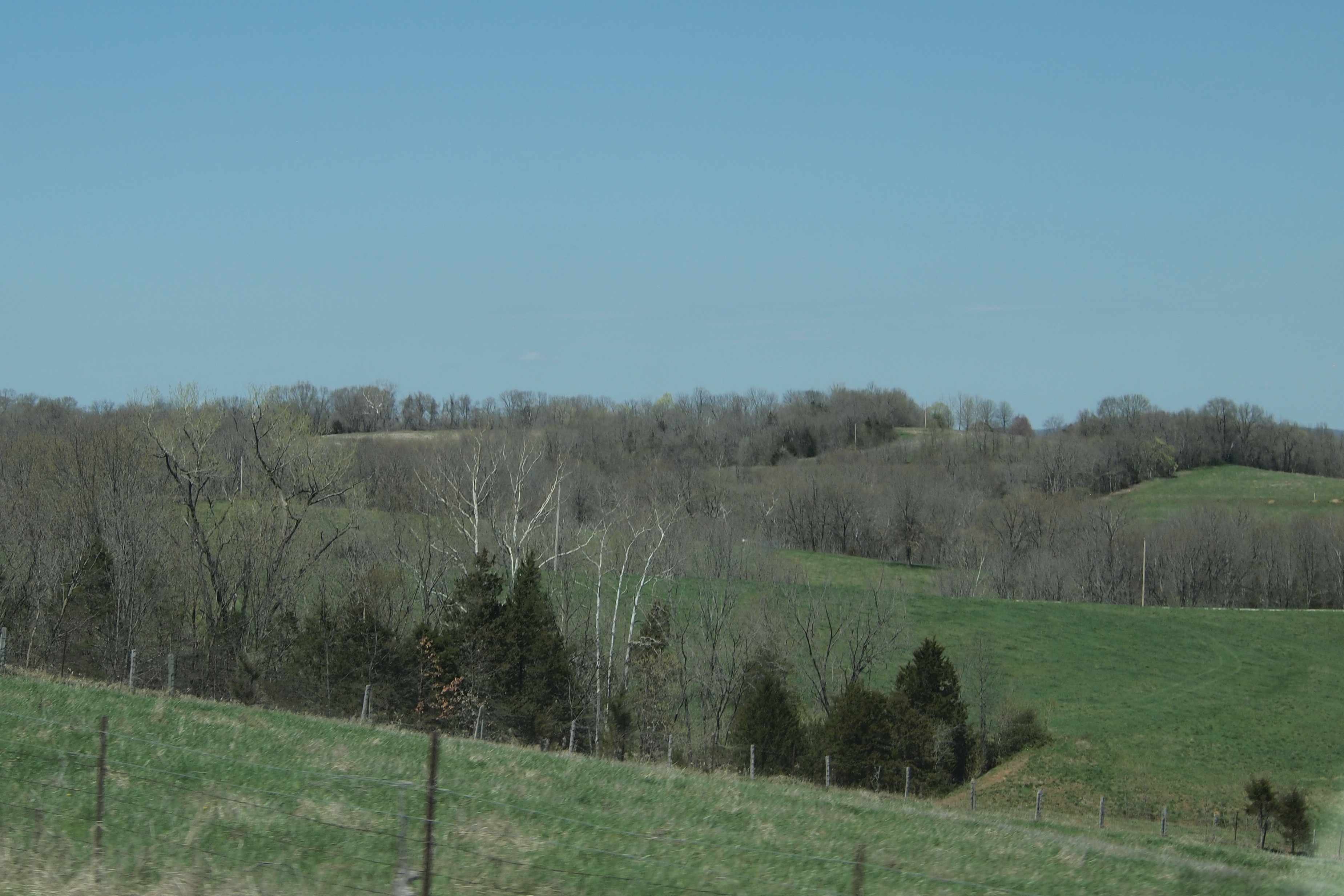
Rolling Hills of Missouri Rhineland along Highway 100 near New Haven, MO_P4133216c
Deutsch Country Days-Living History Weekend
Tree (2)

corn, missouri valley, missouri

barge, missouri river, missouri

Deutsch Country Days-Living History Weekend

Riding the Katy Trail. Missouri.

Riding the Katy Trail. Missouri.
Topographic Map of New Haven, MO, USA
Find elevation by address:

Places in New Haven, MO, USA:
Places near New Haven, MO, USA:
New Haven Township
Olivia Ct, New Haven, MO, USA
Wall Street
Bernheimer
3411 Kaiser Hill Rd
MO-, Washington, MO, USA
Peers
Pinckney Township
Boeuf Township
State Hwy YY, Washington, MO, USA
Gore
Warren County
Gore Rd, Marthasville, MO, USA
19817 Fox Creek Dr
Charrette Township
18375 Walnut Crest
St. Johns Township
4783 N 4 Mile Rd
US-50, Beaufort, MO, USA
Beaufort
Recent Searches:
- Elevation of Corso Fratelli Cairoli, 35, Macerata MC, Italy
- Elevation of Tallevast Rd, Sarasota, FL, USA
- Elevation of 4th St E, Sonoma, CA, USA
- Elevation of Black Hollow Rd, Pennsdale, PA, USA
- Elevation of Oakland Ave, Williamsport, PA, USA
- Elevation of Pedrógão Grande, Portugal
- Elevation of Klee Dr, Martinsburg, WV, USA
- Elevation of Via Roma, Pieranica CR, Italy
- Elevation of Tavkvetili Mountain, Georgia
- Elevation of Hartfords Bluff Cir, Mt Pleasant, SC, USA