Elevation of Komo Rd, Dittmer, MO, USA
Location: United States > Missouri > Jefferson County > Big River Township >
Longitude: -90.744883
Latitude: 38.29452
Elevation: 258m / 846feet
Barometric Pressure: 98KPa
Elevation Map:
Satellite Map:
Related Photos:
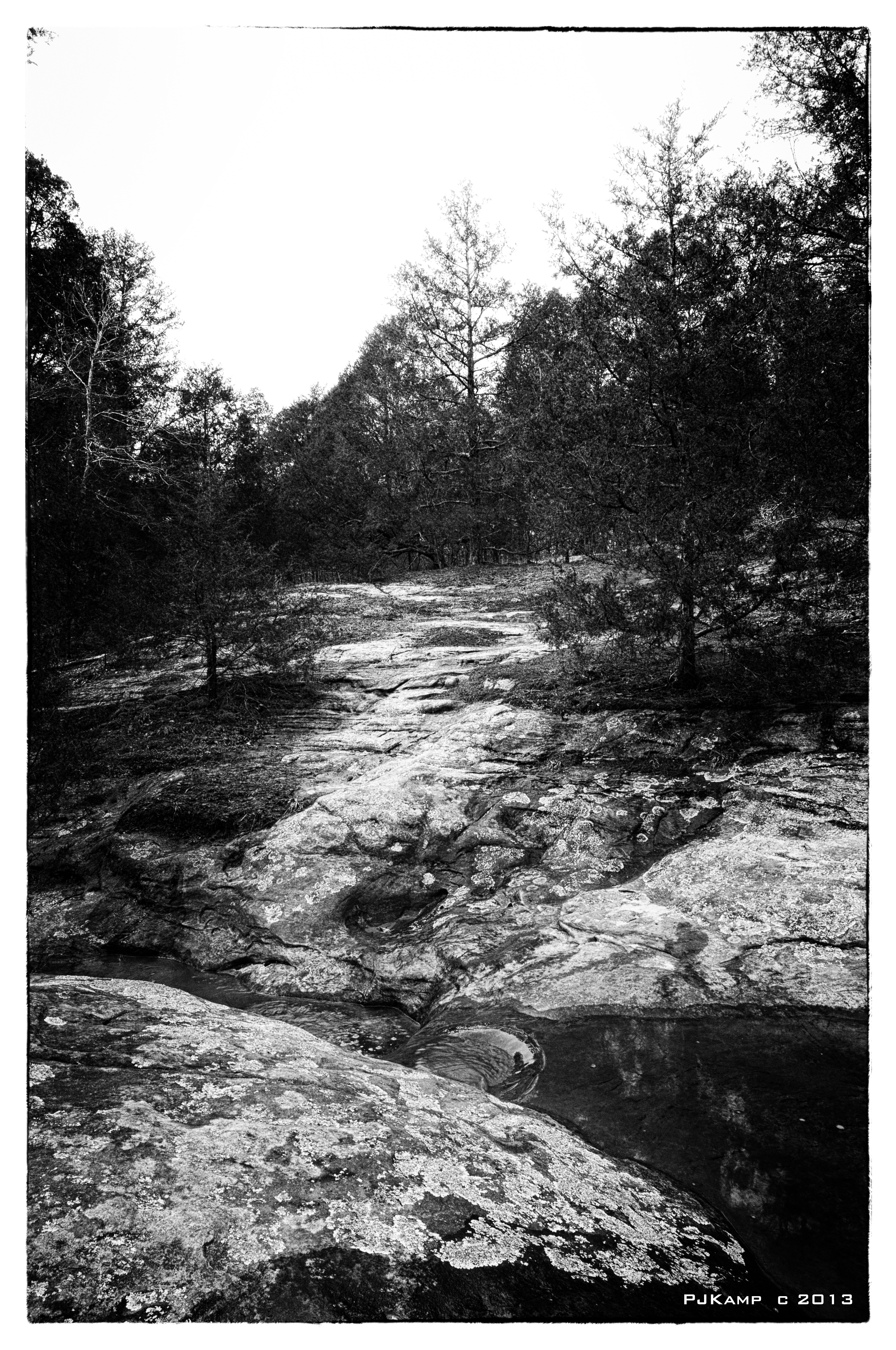
LaBarque Creek

Flip a rock, find a scorpion

Dogwood Bark

Flip a rock, find a scorpion
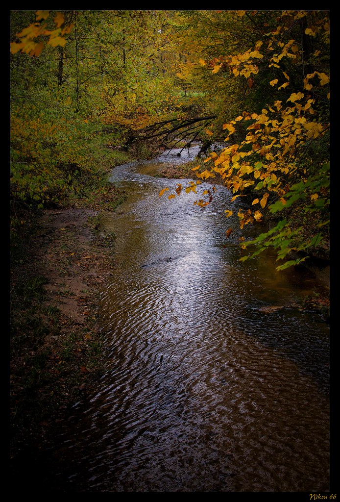
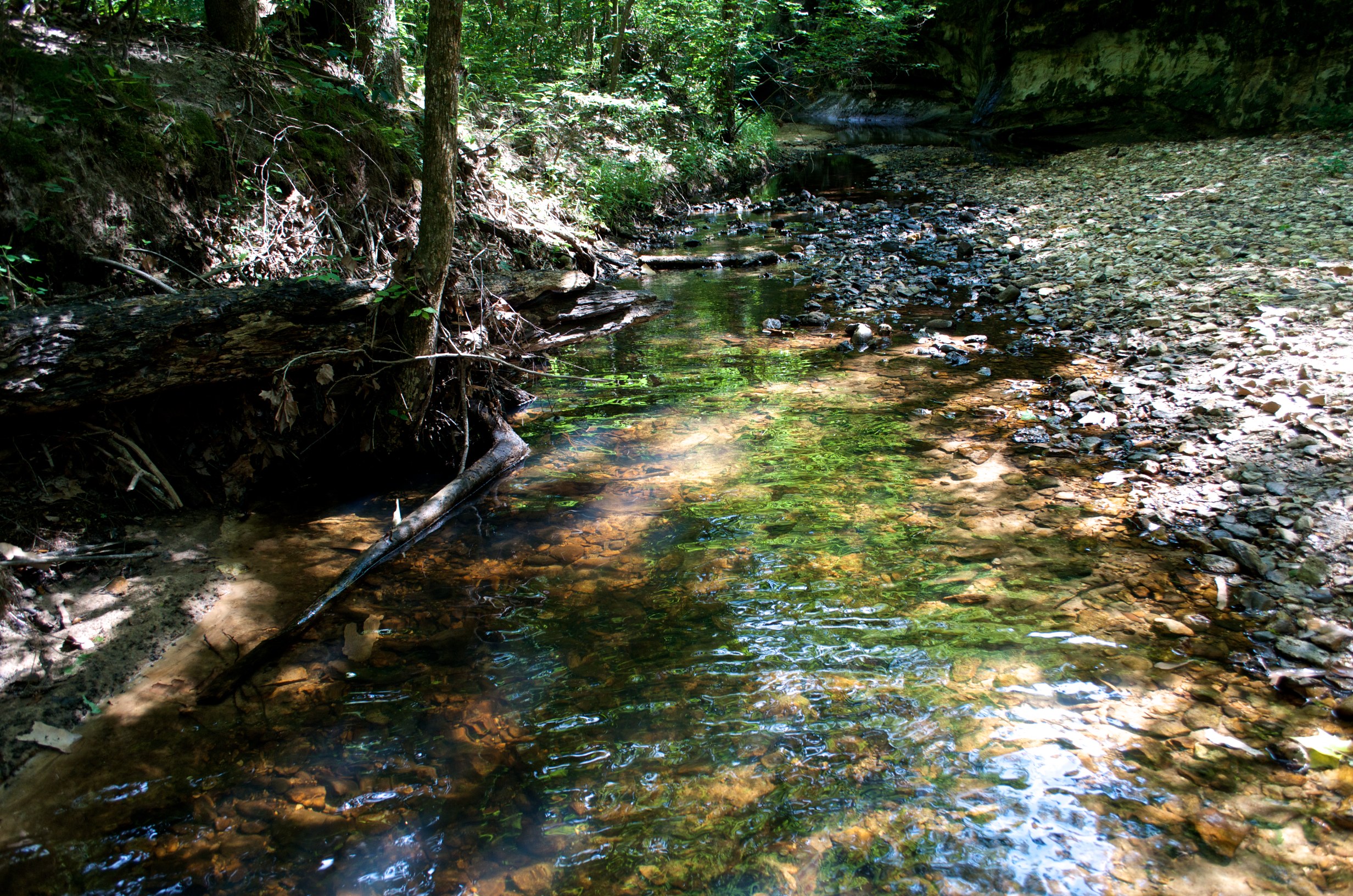
LaBarque Creek

Blue Eyed Horse B&W

Blue Eyed Horse
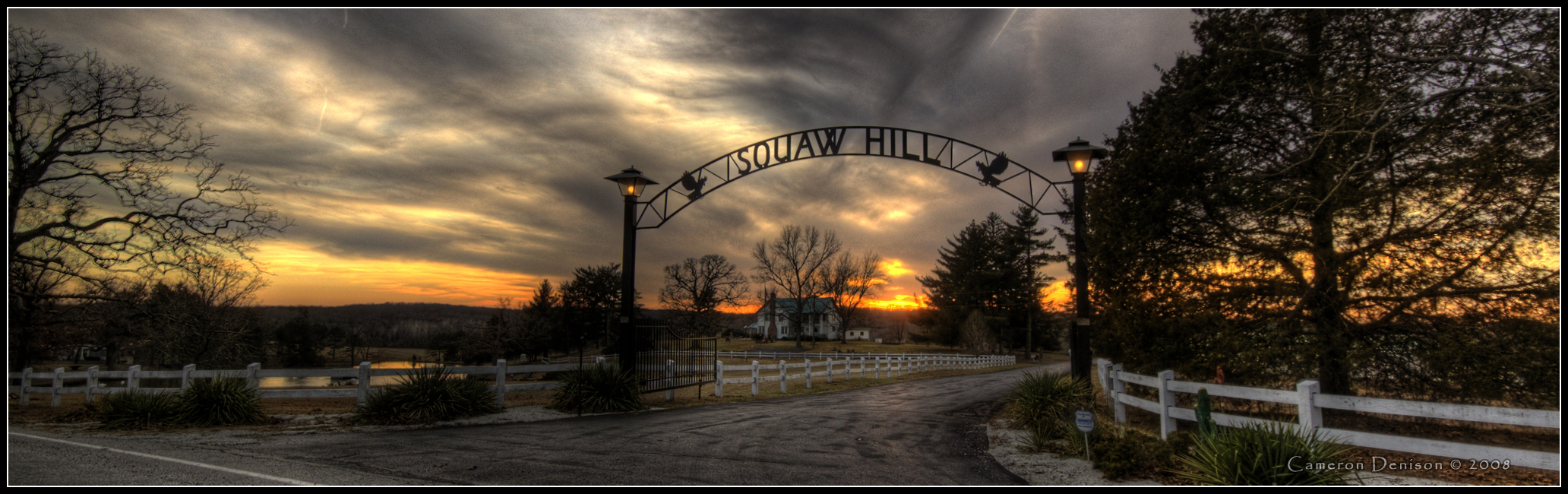
Squaw Hill

Wild Onion
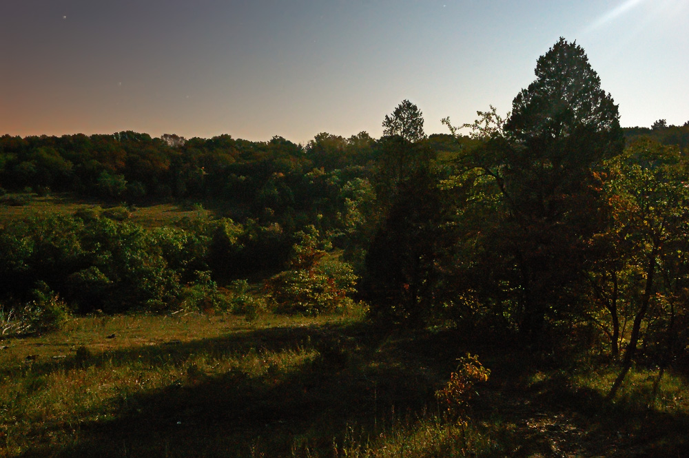
Valley View Glades Natural Area, near Morse Mill, Missouri, USA - view with long shadows, by moonlight
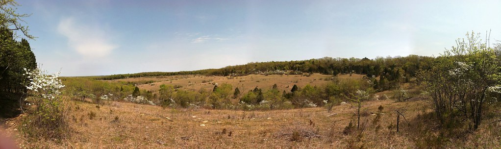
Pano of the Glade

Initial view when you get on the trail

Initial view when you get on the trail

Entrance Sign

Shelf Fungi on a Dead American Hornbeam Tree

Shelf Fungi on a Dead American Hornbeam Tree

Dogwood Canopy

Shelf Fungi on a Dead American Hornbeam Tree

Tired Hiking Sidekick

Dogwood Bark

Tired Hiking Sidekick
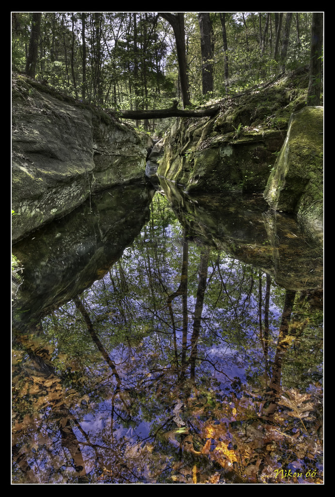
La_Barque 2

La_Barque 10

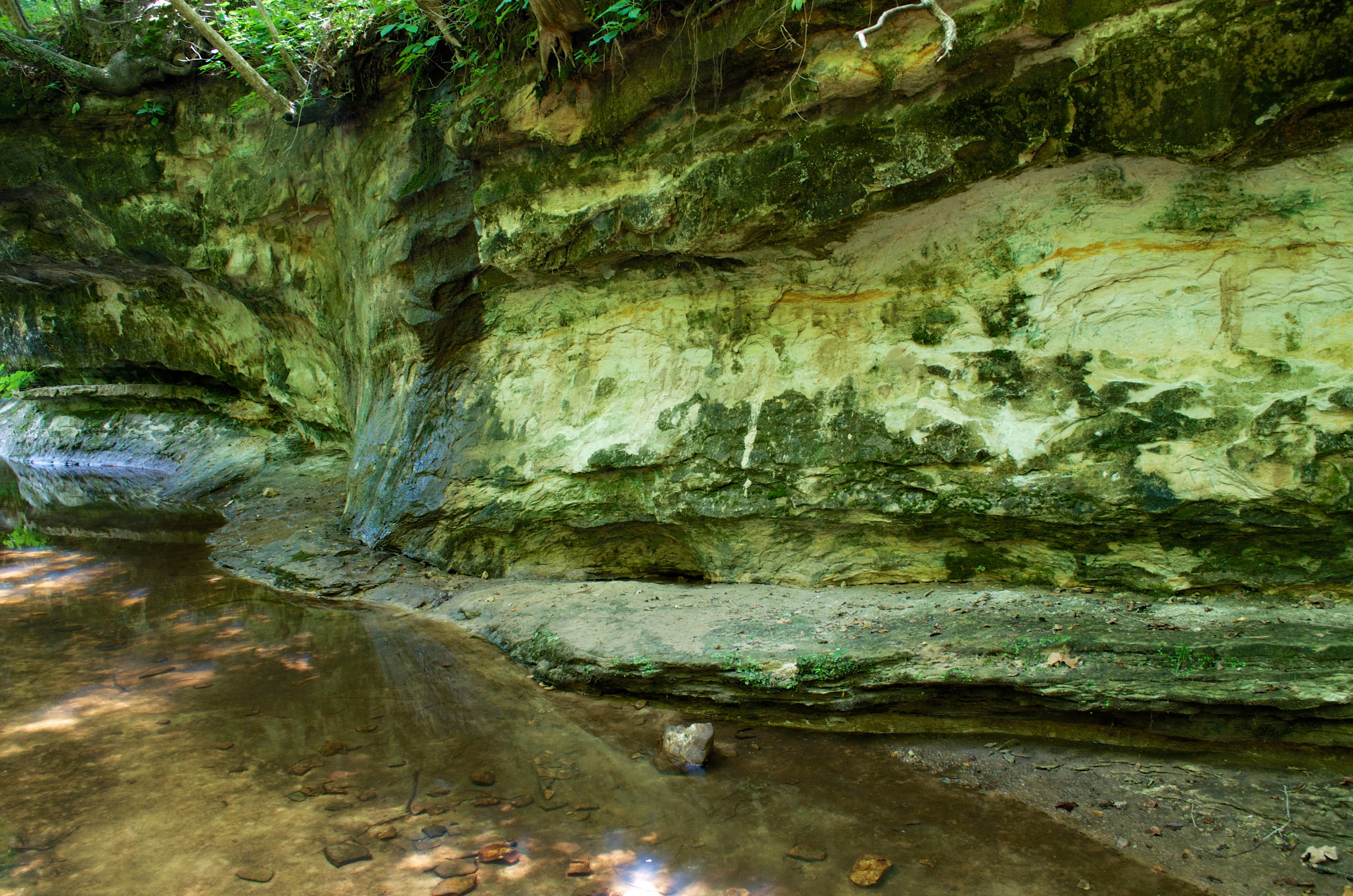
Labarque falls

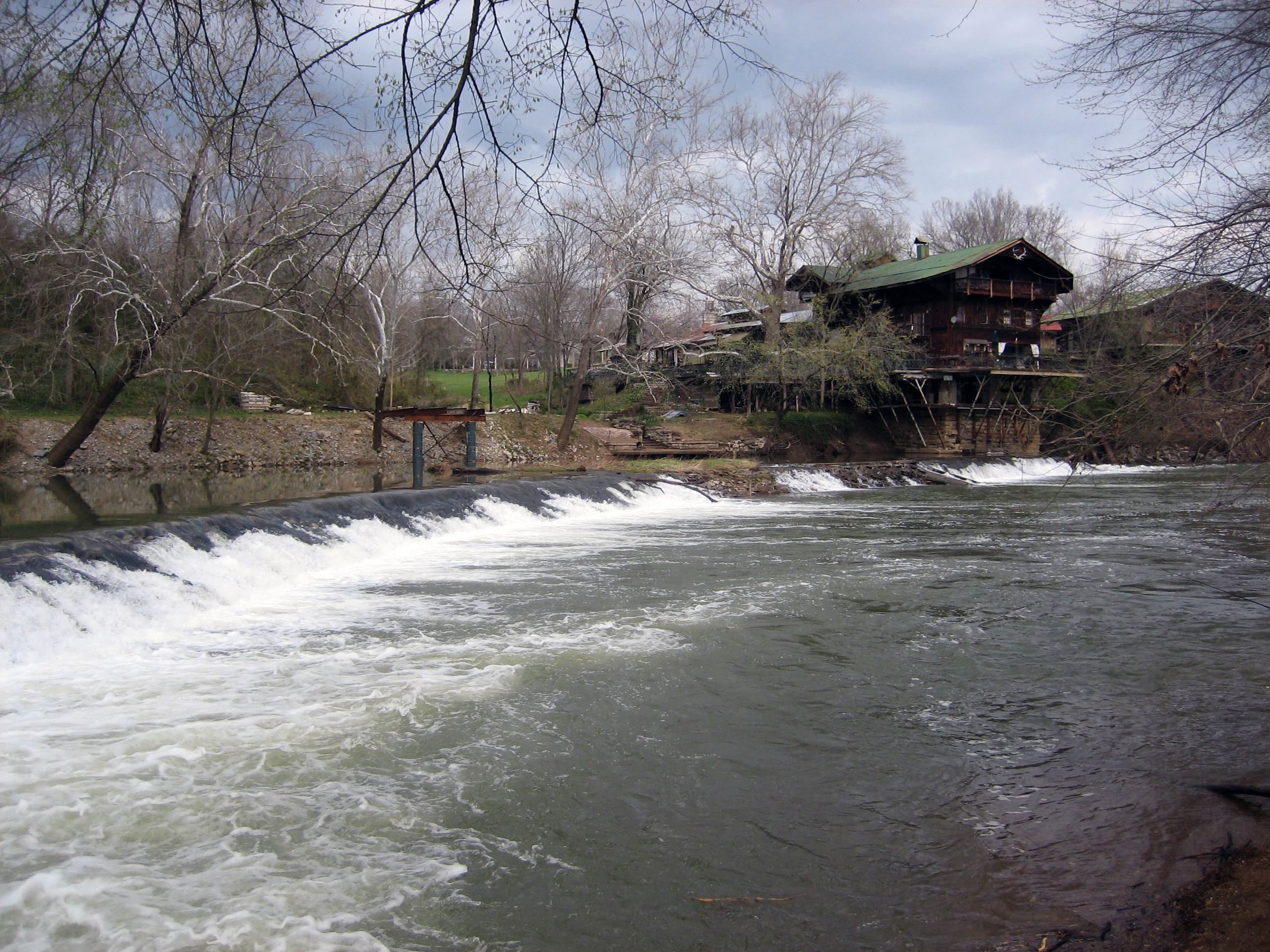
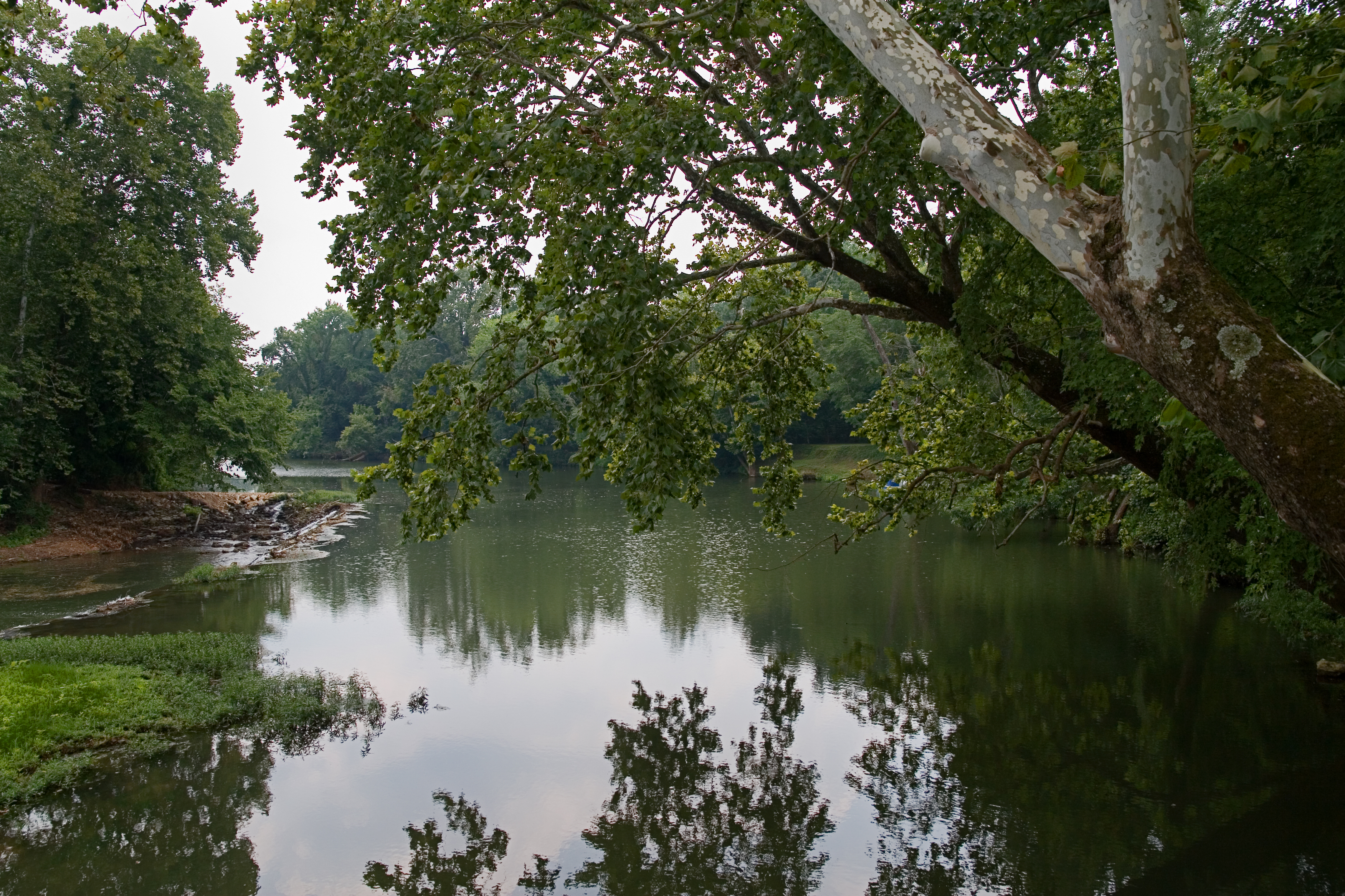
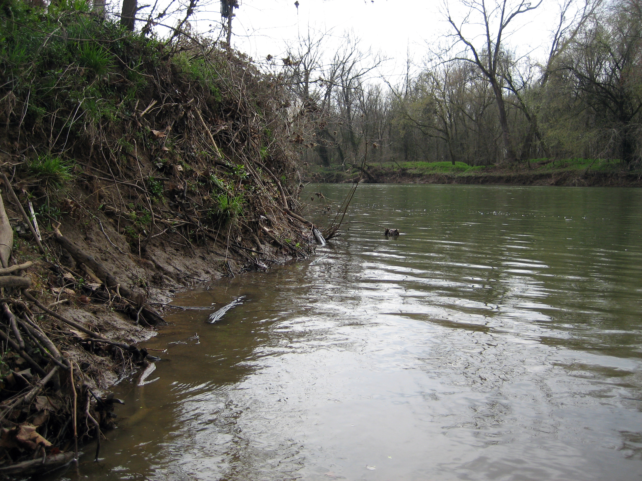
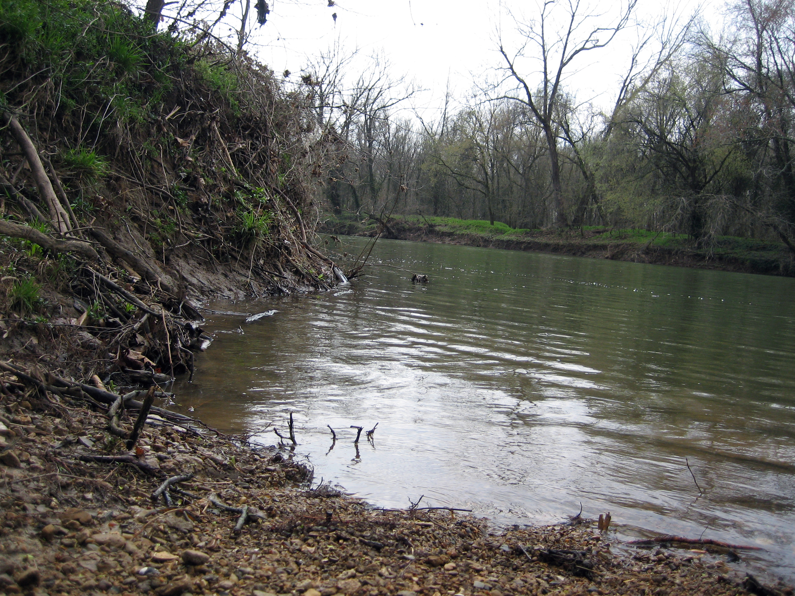
Meramec River
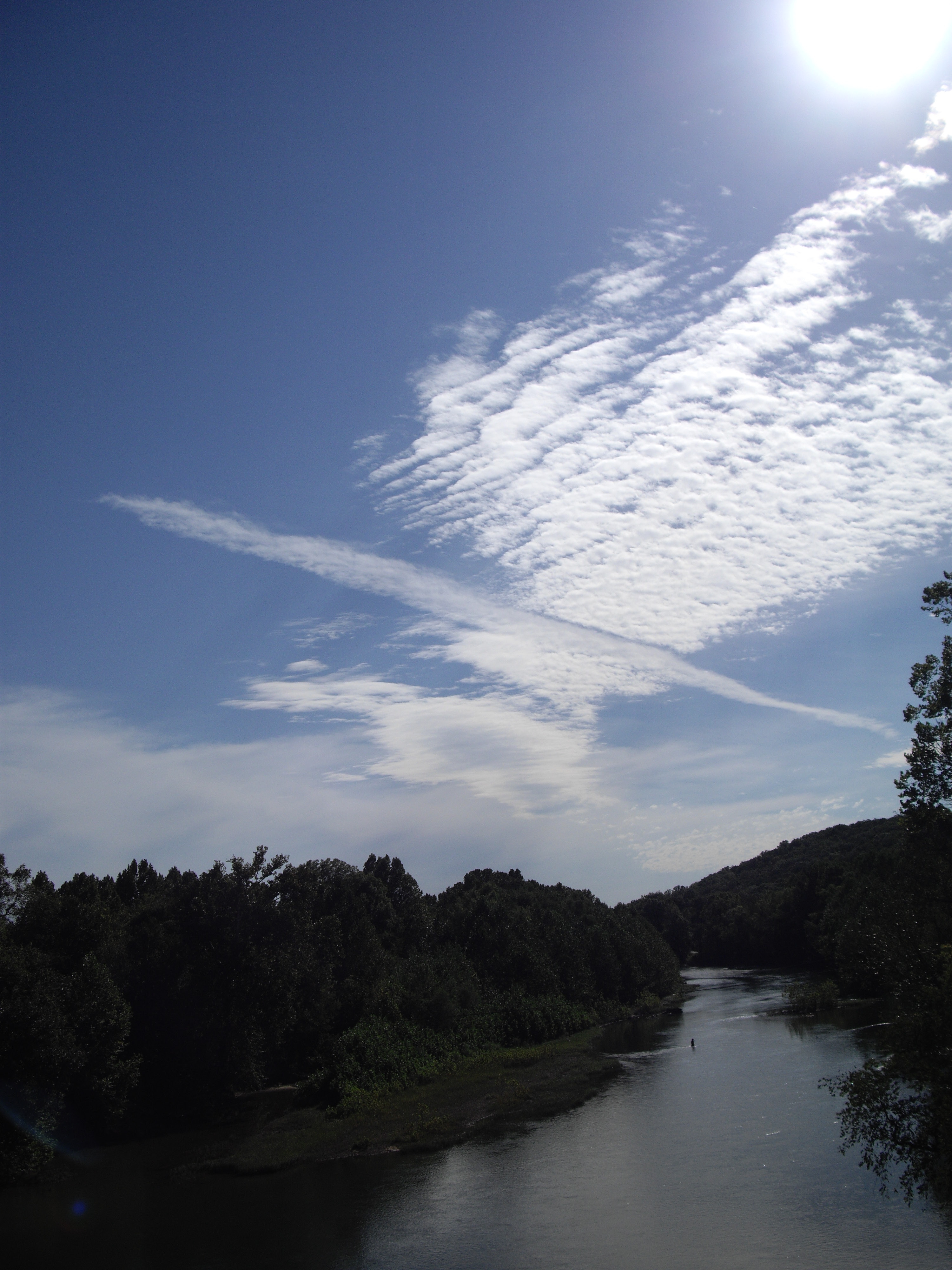
Meramec River
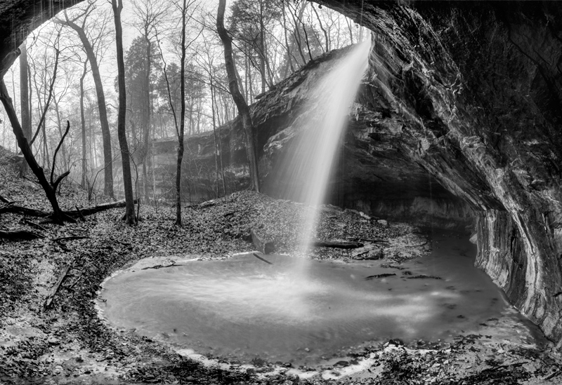
Subway Falls

La_Barque 15

a tale of two falls
La_Barque 14
into Labarque

La_Barque 1
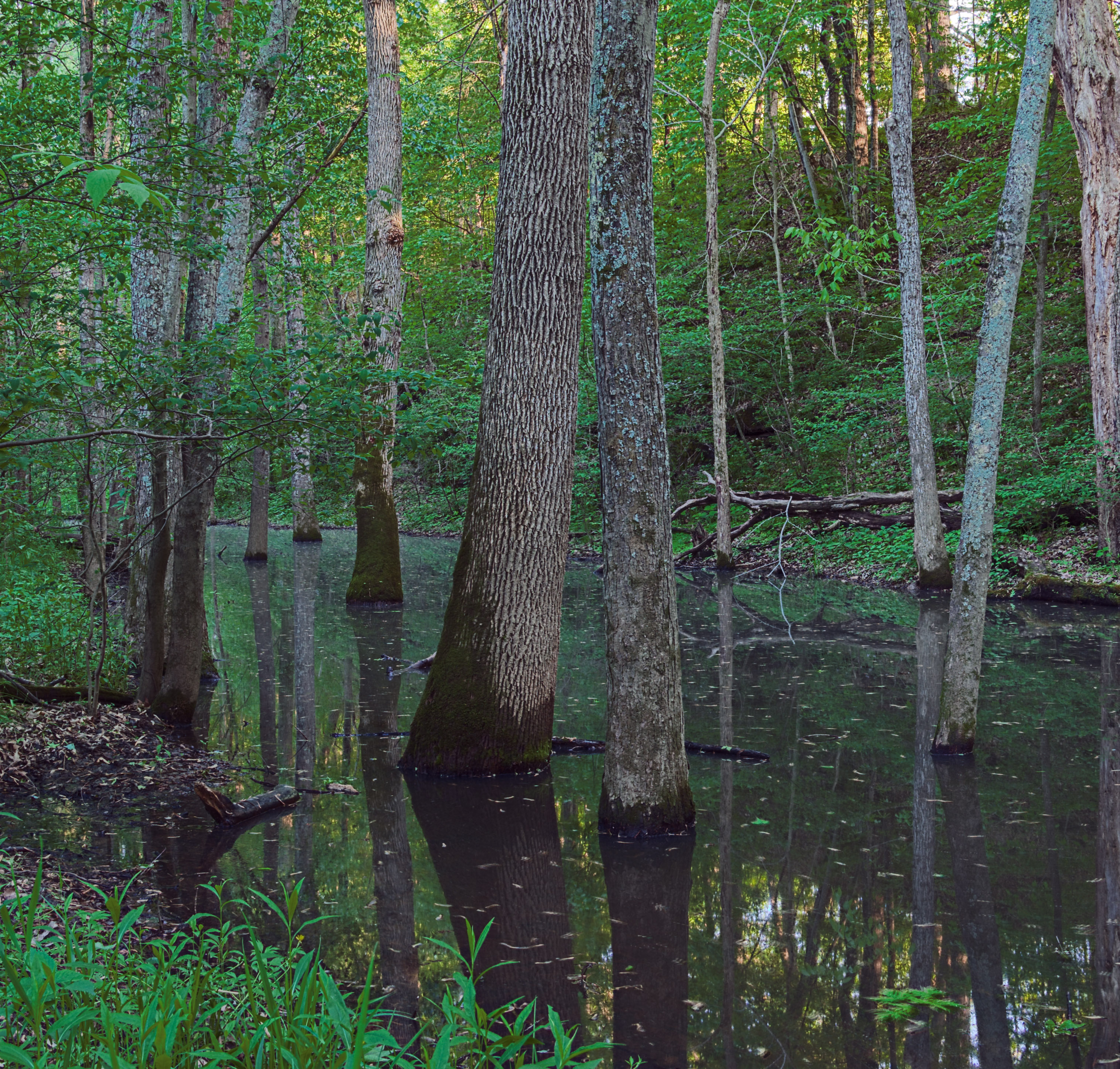
Swamp, at River Round Conservation Area, near Moselle, Missouri, USA
Fishing the Big River April 1st
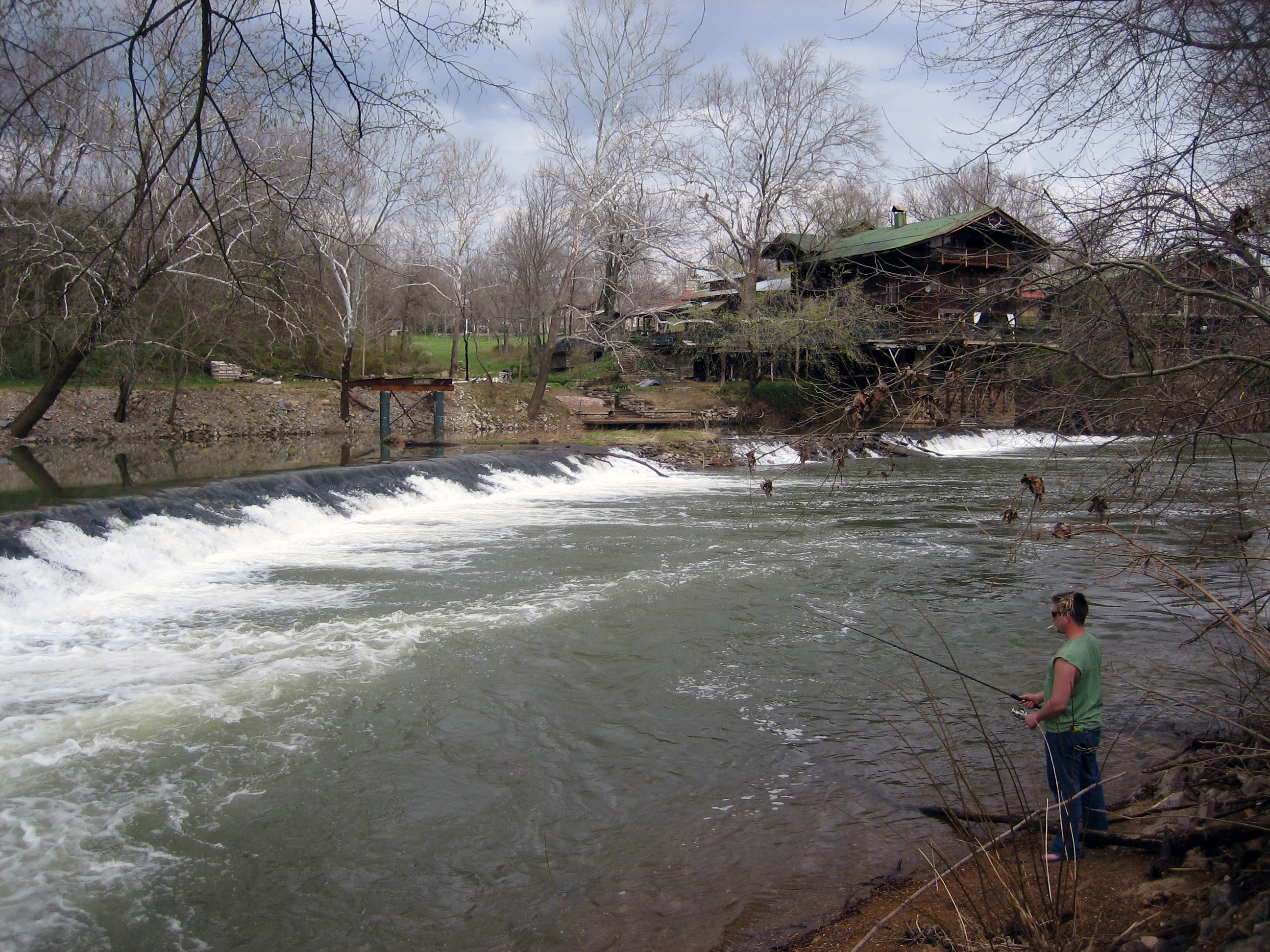
Fishing the Big River April 1st
The Lalumondiere Mill in Byrnesville, Mo
Glades at Labarque
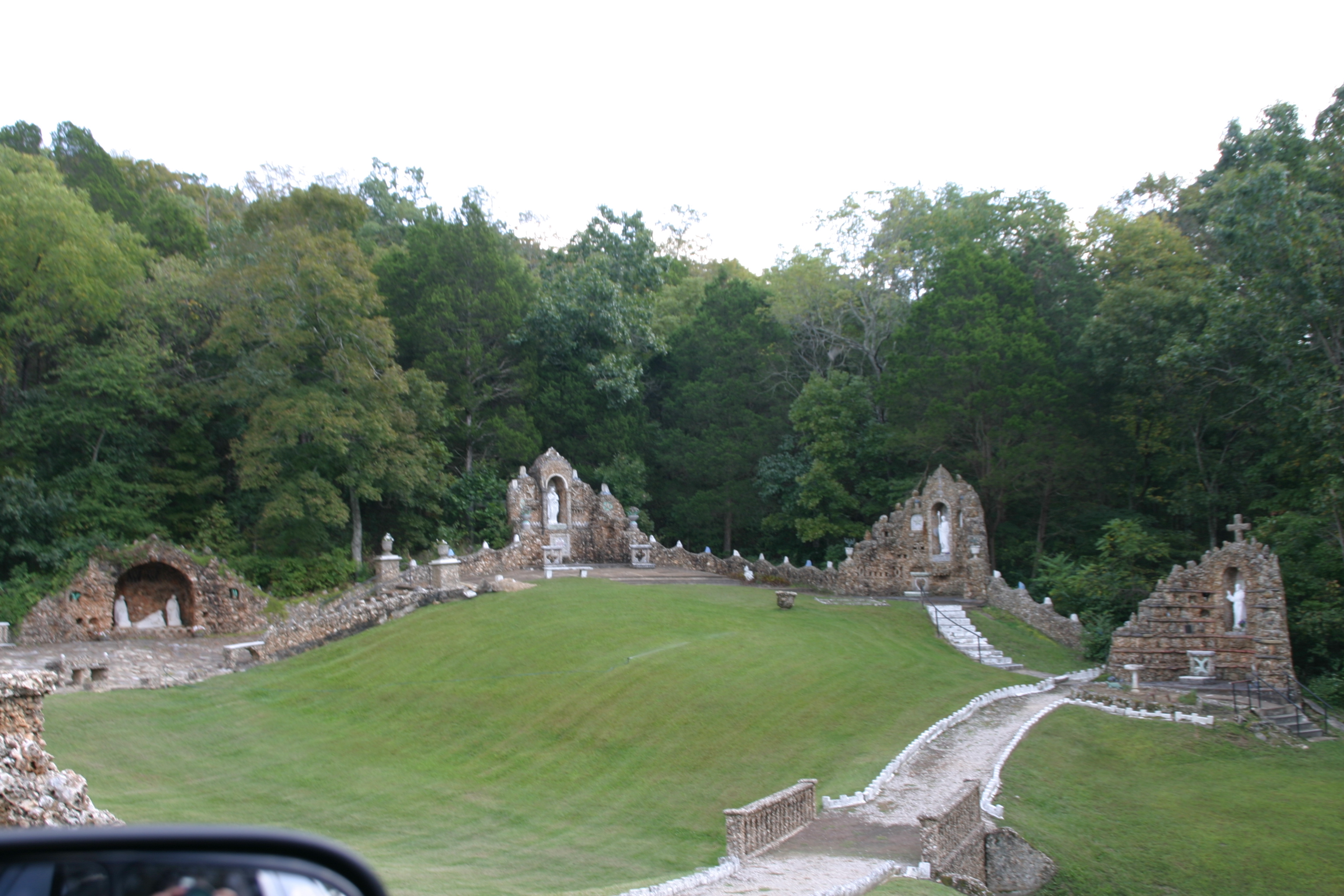
Black Madonna Shrine (35)
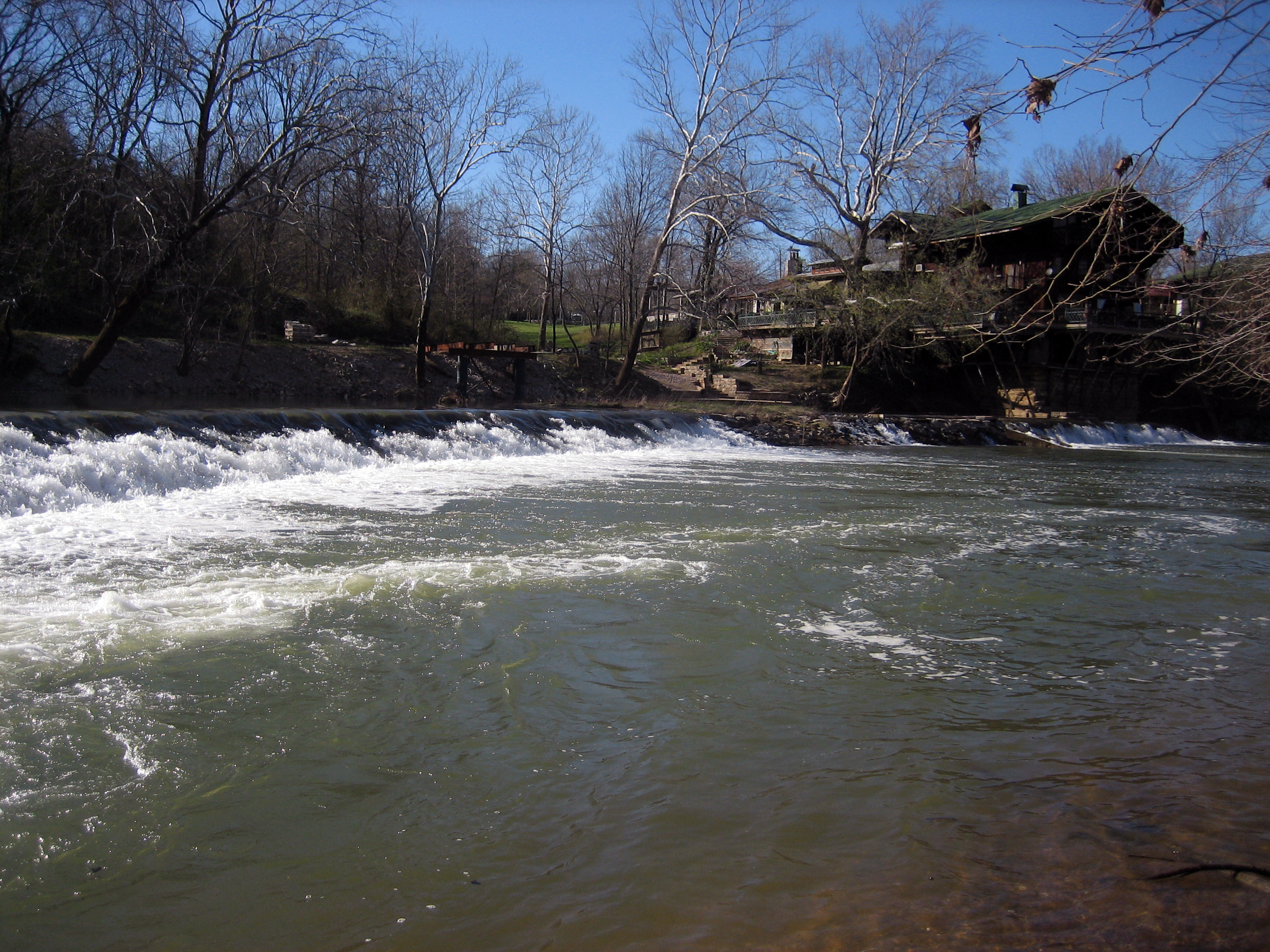
Fishing the Big River April 1st
Fishing the Big River April 1st
Fishing the Big River April 1st
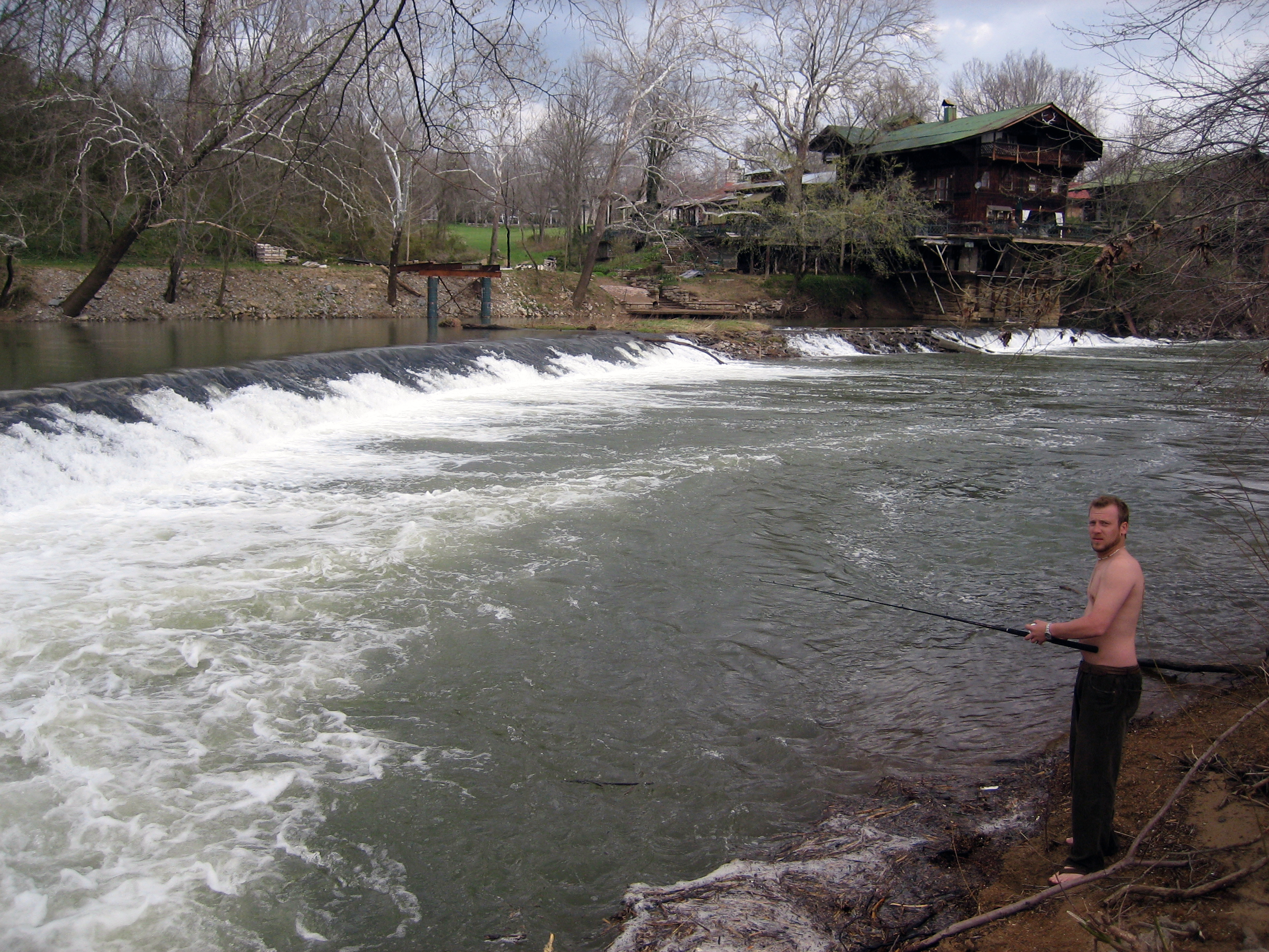
Fishing the Big River April 1st
Topographic Map of Komo Rd, Dittmer, MO, USA
Find elevation by address:

Places near Komo Rd, Dittmer, MO, USA:
10402 Neal Dr
State Rd Y, Dittmer, MO, USA
Oermann Rd, Dittmer, MO, USA
8678 Weber Dairy Rd
Big River Township
9985 Township Ln
9479 Jones Creek Rd
6127 Missouri Hh
6127 Missouri Hh
6127 Missouri Hh
7559 Missouri Hh
8597 Missouri Hh
8597 Missouri Hh
Dittmer
7762 Dittmer Rd
10545 Tom Frost Rd
1619 Finney Rd
3722 Mo-30
Bridle Trail Drive
11567 Ware Lake Rd
Recent Searches:
- Elevation of Corso Fratelli Cairoli, 35, Macerata MC, Italy
- Elevation of Tallevast Rd, Sarasota, FL, USA
- Elevation of 4th St E, Sonoma, CA, USA
- Elevation of Black Hollow Rd, Pennsdale, PA, USA
- Elevation of Oakland Ave, Williamsport, PA, USA
- Elevation of Pedrógão Grande, Portugal
- Elevation of Klee Dr, Martinsburg, WV, USA
- Elevation of Via Roma, Pieranica CR, Italy
- Elevation of Tavkvetili Mountain, Georgia
- Elevation of Hartfords Bluff Cir, Mt Pleasant, SC, USA