Elevation of Oak Ridge Rd, Robertsville, MO, USA
Location: United States > Missouri > Jefferson County > Calvey Township > Robertsville >
Longitude: -90.7720995
Latitude: 38.3956182
Elevation: 187m / 614feet
Barometric Pressure: 0KPa
Related Photos:

Special Scheme Double

Reflections at sunrise
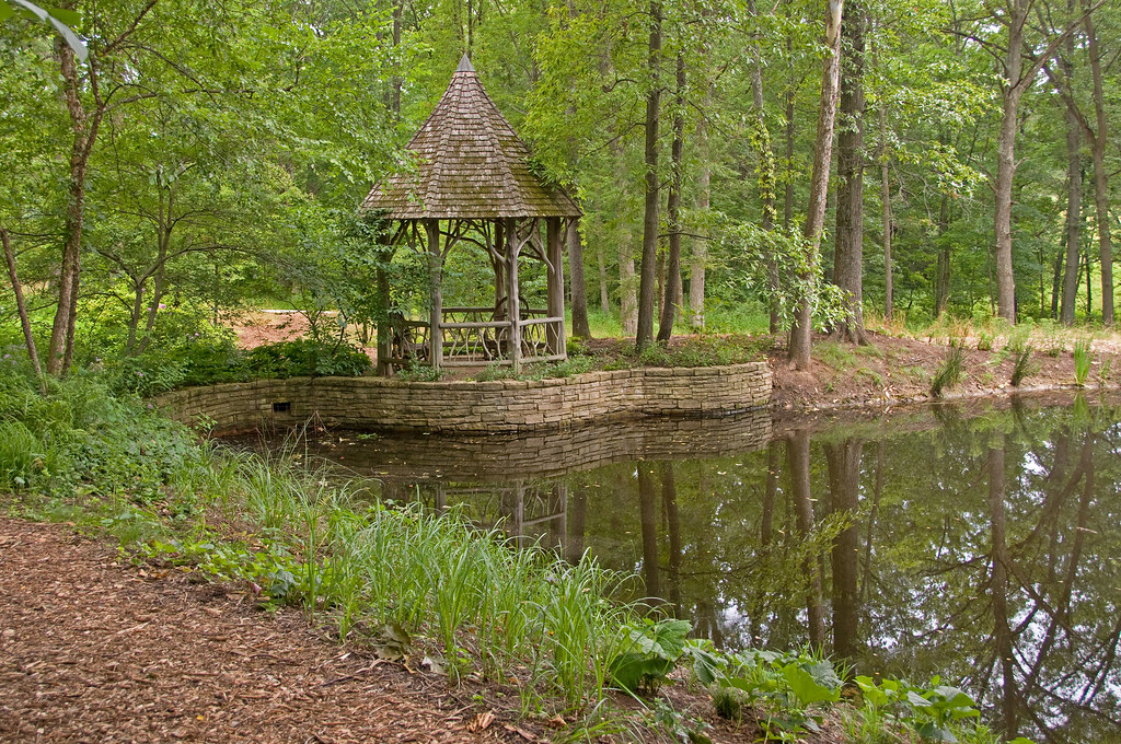
Forest Staley Park

Symphony of Color

Autumn Bliss

Shades of Autumn

Autumn Prairie

Golden Sod

Fountain of Life

Around the Bend
Awesome Fall Colors
Beautiful day for a hike!
Gardenway Motel, on Route 66 at Gray Summit, Missouri
Alone in the Woods

Sunny Side of Life

Sunrise reflections

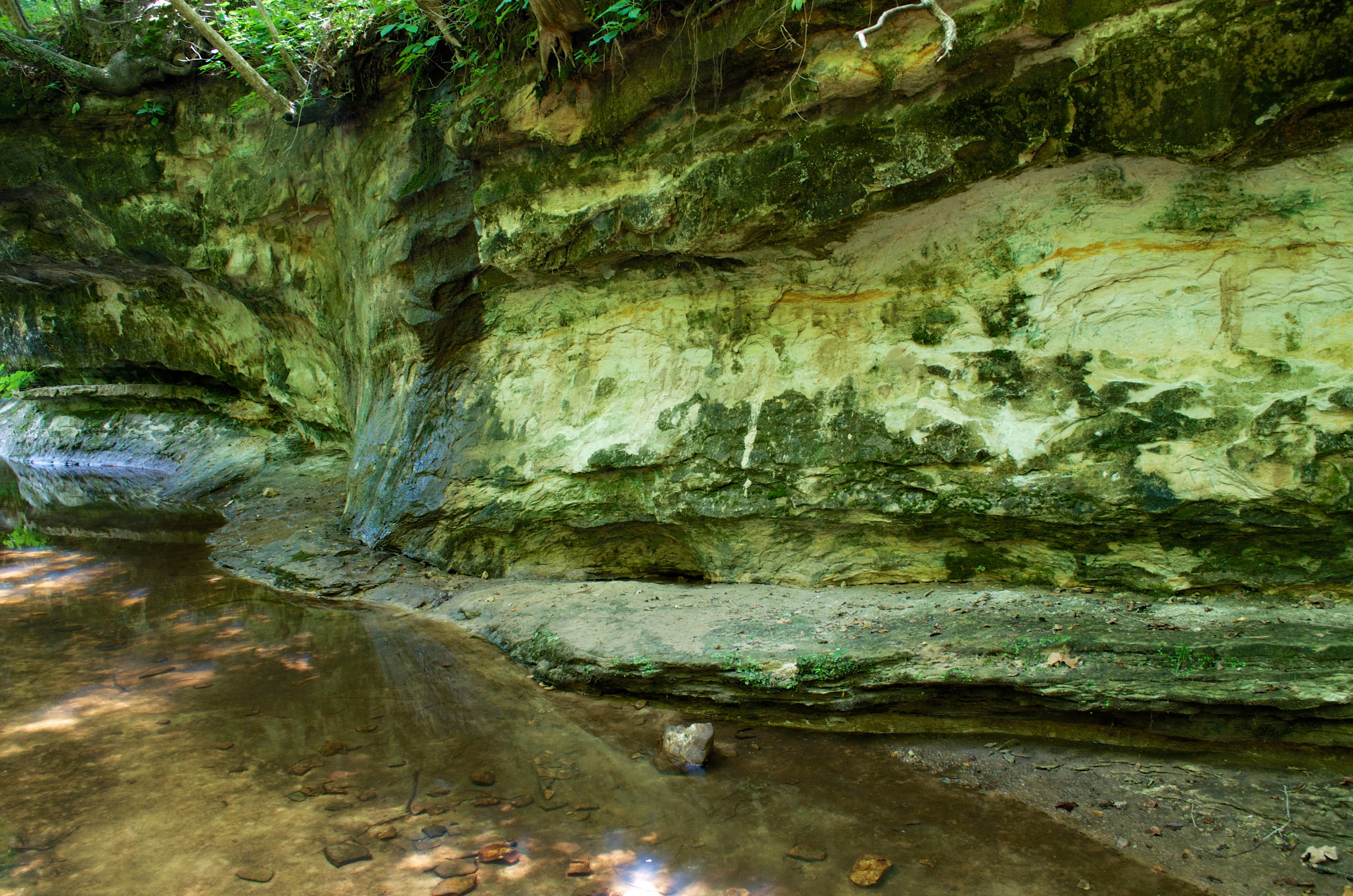
Labarque falls

Playin with color

IMG_2819_edited-1.JPG
La_Barque 2

Beautiful sky!
Topographic Map of Oak Ridge Rd, Robertsville, MO, USA
Find elevation by address:

Places near Oak Ridge Rd, Robertsville, MO, USA:
The Lift Superstore
2979 Wild Plum Valley
Catawissa
Calvey Township
313-309
10545 Tom Frost Rd
Robertsville
1619 Finney Rd
8597 Missouri Hh
8597 Missouri Hh
7559 Missouri Hh
6127 Missouri Hh
6127 Missouri Hh
6127 Missouri Hh
3235 Mossy Ridge Way
Bridle Trail Drive
8 Capper Dr
Angeles Corporation
2 Dogwood Trail E
2346 State Hwy F
Recent Searches:
- Elevation of Pasing, Munich, Bavaria, 81241, Germany
- Elevation of 24, Auburn Bay Crescent SE, Auburn Bay, Calgary, Alberta, T3M 0A6, Canada
- Elevation of Denver, 2314, Arapahoe Street, Five Points, Denver, Colorado, 80205, USA
- Elevation of Community of the Beatitudes, 2924, West 43rd Avenue, Sunnyside, Denver, Colorado, 80211, USA
- Elevation map of Litang County, Sichuan, China
- Elevation map of Madoi County, Qinghai, China
- Elevation of 3314, Ohio State Route 114, Payne, Paulding County, Ohio, 45880, USA
- Elevation of Sarahills Drive, Saratoga, Santa Clara County, California, 95070, USA
- Elevation of Town of Bombay, Franklin County, New York, USA
- Elevation of 9, Convent Lane, Center Moriches, Suffolk County, New York, 11934, USA
- Elevation of Saint Angelas Convent, 9, Convent Lane, Center Moriches, Suffolk County, New York, 11934, USA
- Elevation of 131st Street Southwest, Mukilteo, Snohomish County, Washington, 98275, USA
- Elevation of 304, Harrison Road, Naples, Cumberland County, Maine, 04055, USA
- Elevation of 2362, Timber Ridge Road, Harrisburg, Cabarrus County, North Carolina, 28075, USA
- Elevation of Ridge Road, Marshalltown, Marshall County, Iowa, 50158, USA
- Elevation of 2459, Misty Shadows Drive, Pigeon Forge, Sevier County, Tennessee, 37862, USA
- Elevation of 8043, Brightwater Way, Spring Hill, Williamson County, Tennessee, 37179, USA
- Elevation of Starkweather Road, San Luis, Costilla County, Colorado, 81152, USA
- Elevation of 5277, Woodside Drive, Baton Rouge, East Baton Rouge Parish, Louisiana, 70808, USA
- Elevation of 1139, Curtin Street, Shepherd Park Plaza, Houston, Harris County, Texas, 77018, USA