Elevation of Mix Ln NE, Longville, MN, USA
Location: United States > Minnesota > Cass County > Inguadona Township >
Longitude: -94.130013
Latitude: 46.980732
Elevation: 401m / 1316feet
Barometric Pressure: 97KPa
Elevation Map:
Satellite Map:
Related Photos:
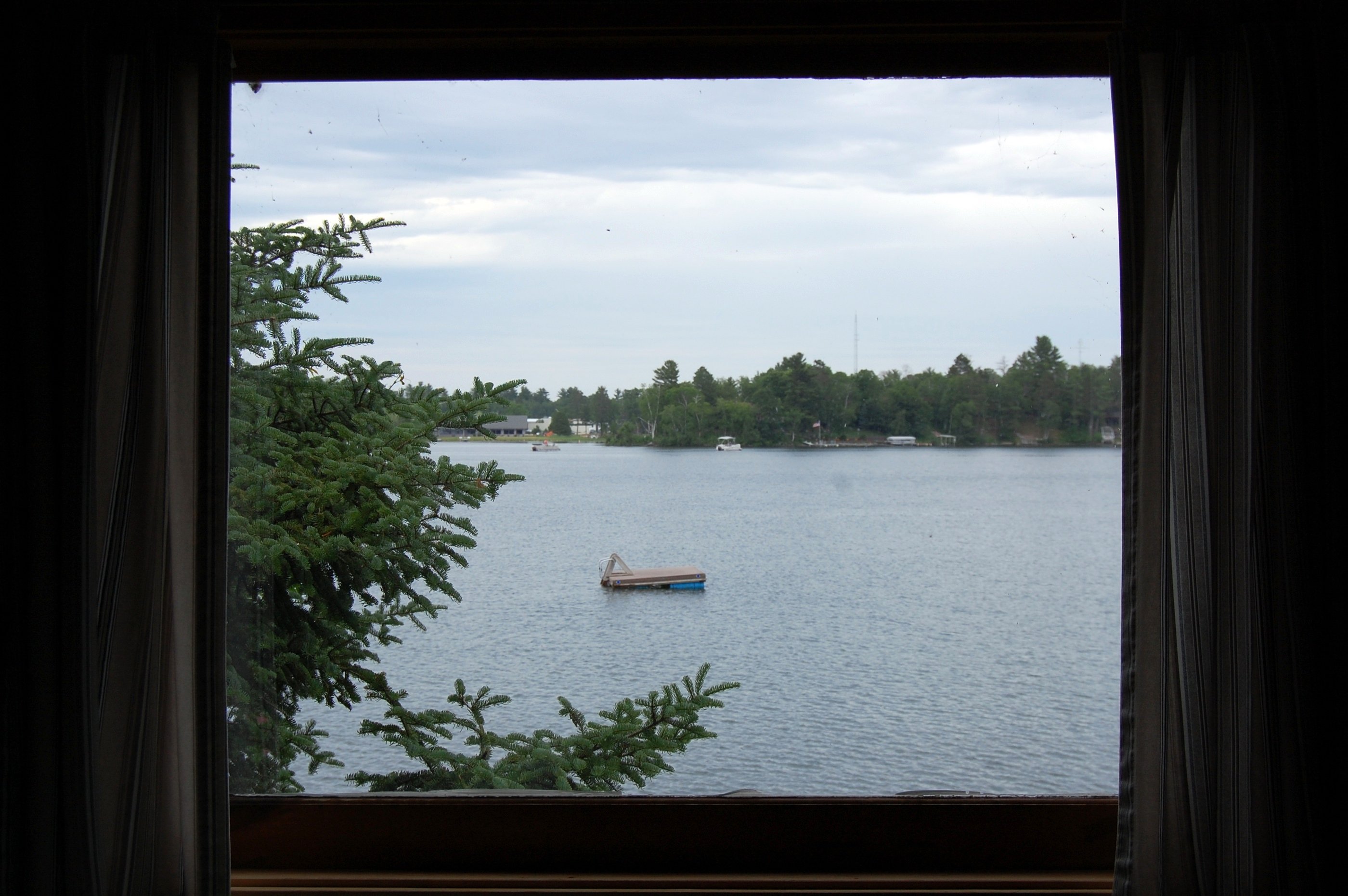
Our view from inside "Lazy Days"

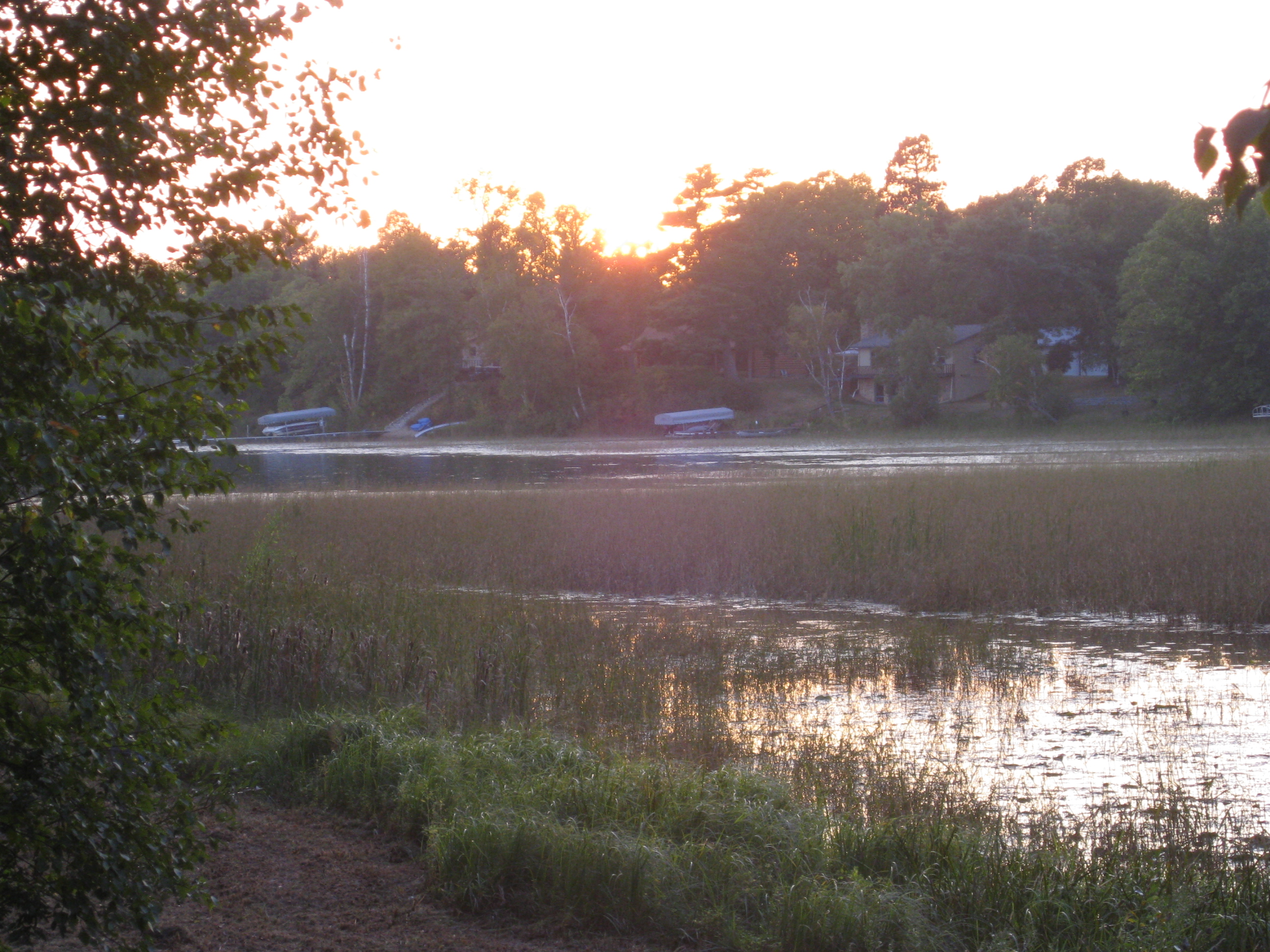
Sunrise over Woman Lake

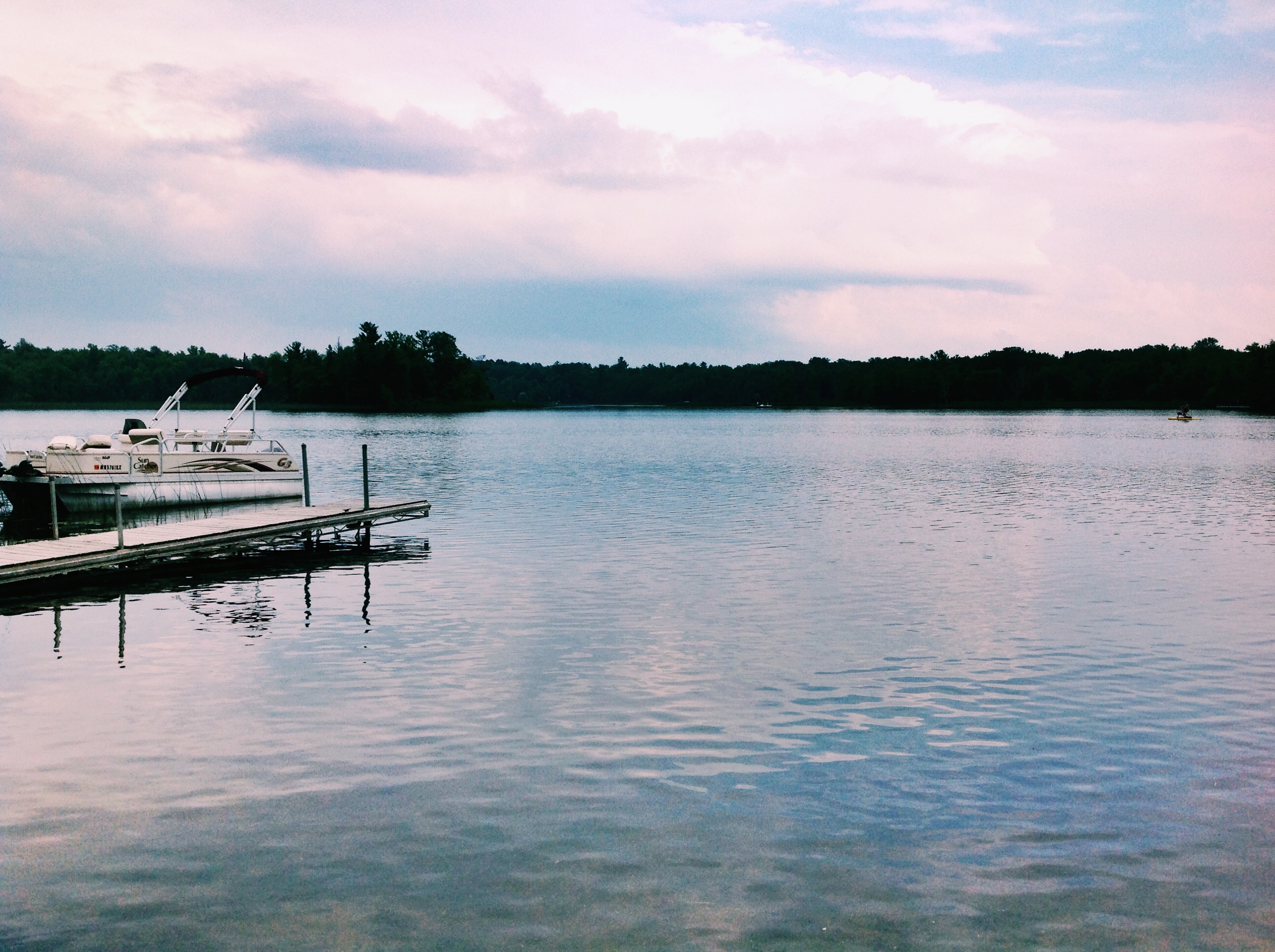
Dock at dusk

Female Red-winged Blackbird
Morning at Voyager Bay

Just some pretty clover
Tretter Cabin
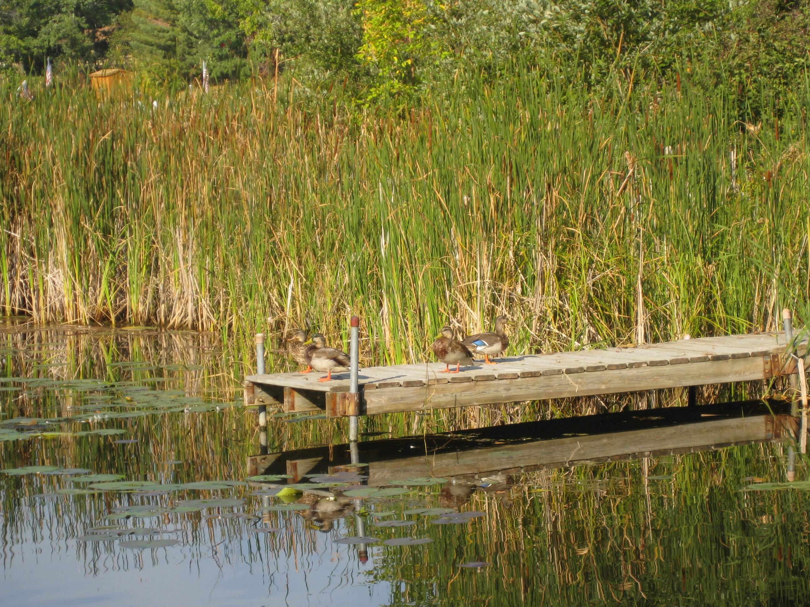
Ducks on the dock
Sunset on Girl Lake
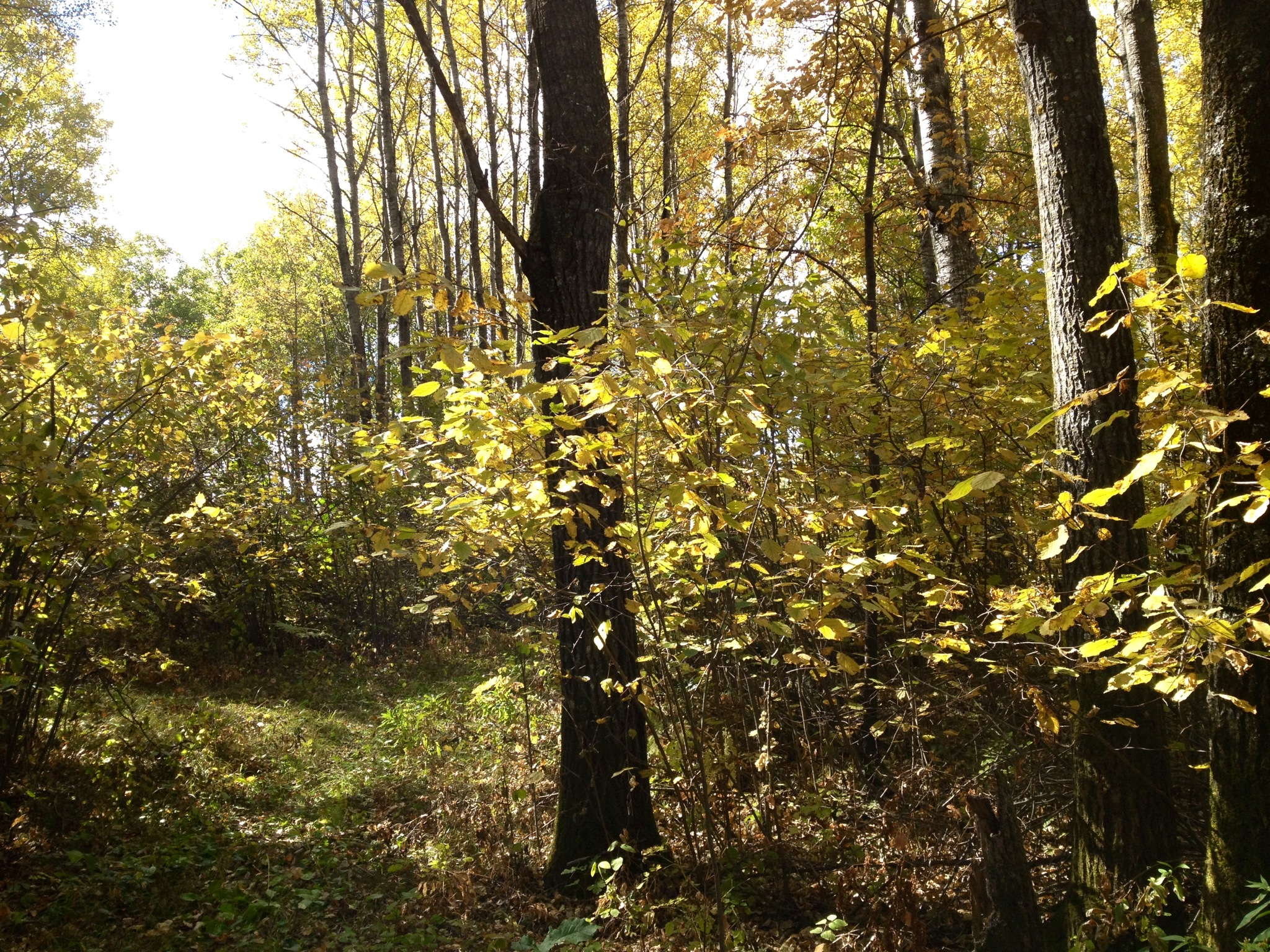
Yellow Skirts

Dawn on Woman Lake
Luther Dell
IMG_2466 Longville

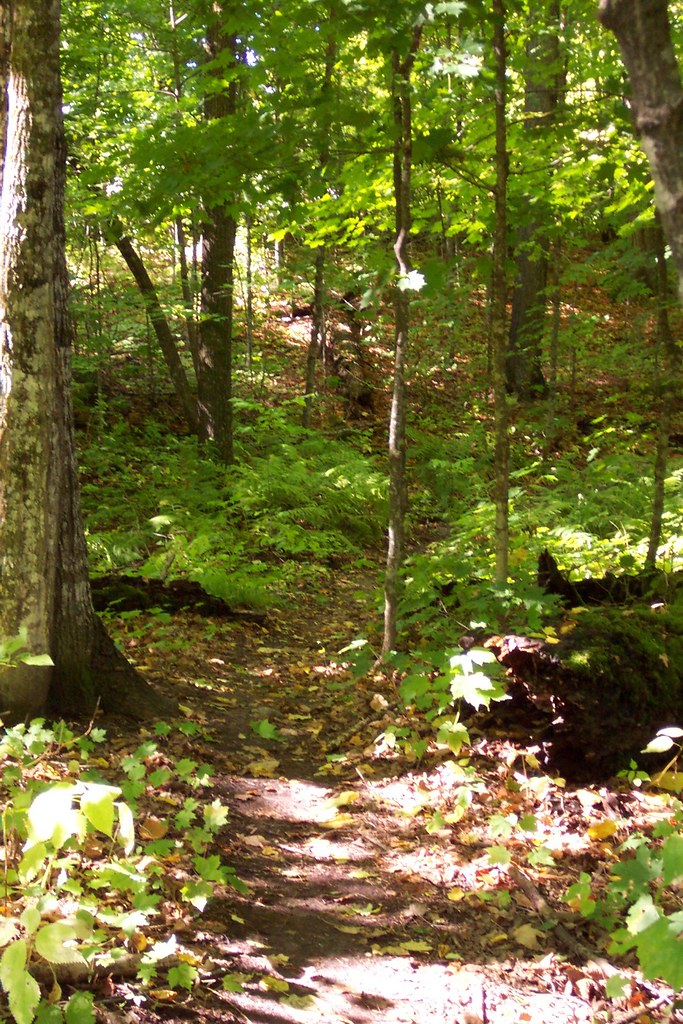
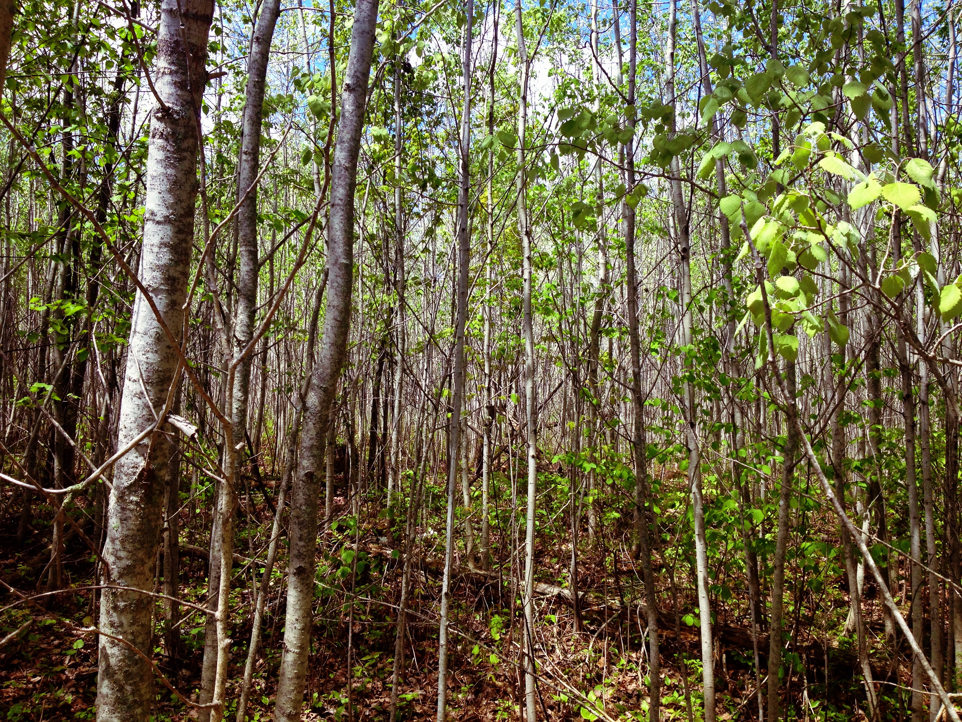
North Country Trail near Whipholt, Mn

Evening Calm
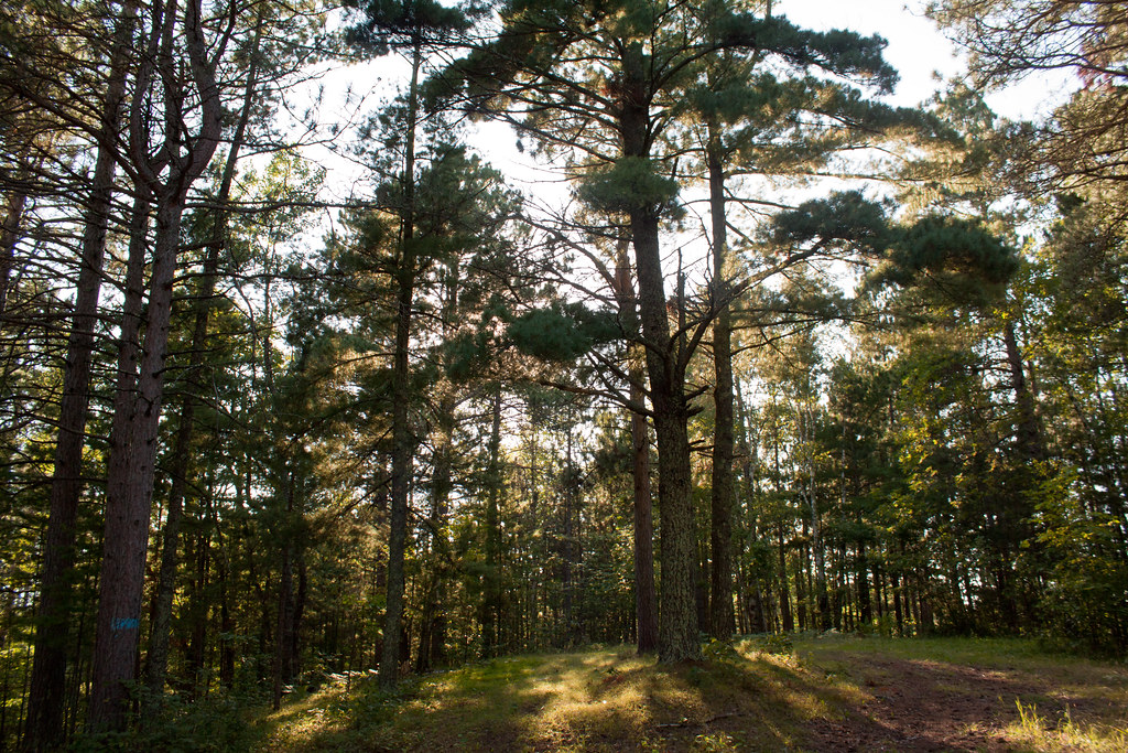
Sight lines
Longville, MN
Topographic Map of Mix Ln NE, Longville, MN, USA
Find elevation by address:

Places near Mix Ln NE, Longville, MN, USA:
Inguadona Township
Longville
Wabedo Township
Rogers Township
Tobique Rd NE, Remer, MN, USA
Crooked Lake Township
4190 68th Ave Ne
E Main St, Remer, MN, USA
40625 Westman Bay Rd
Outing
MN-6, Outing, MN, USA
Fifty Lakes
Westman Bay Rd, Fifty Lakes, MN, USA
Salem Township
County 52 NE, Remer, MN, USA
Milinda Shores Rd, Crosslake, MN, USA
Co Rd 1, Emily, MN, USA
Emily
County Rd 58 NE, Outing, MN, USA
Beulah Township
Recent Searches:
- Elevation of Corso Fratelli Cairoli, 35, Macerata MC, Italy
- Elevation of Tallevast Rd, Sarasota, FL, USA
- Elevation of 4th St E, Sonoma, CA, USA
- Elevation of Black Hollow Rd, Pennsdale, PA, USA
- Elevation of Oakland Ave, Williamsport, PA, USA
- Elevation of Pedrógão Grande, Portugal
- Elevation of Klee Dr, Martinsburg, WV, USA
- Elevation of Via Roma, Pieranica CR, Italy
- Elevation of Tavkvetili Mountain, Georgia
- Elevation of Hartfords Bluff Cir, Mt Pleasant, SC, USA