Elevation of Crooked Lake Township, MN, USA
Location: United States > Minnesota > Cass County >
Longitude: -93.980991
Latitude: 46.8531878
Elevation: 408m / 1339feet
Barometric Pressure: 97KPa
Elevation Map:
Satellite Map:
Related Photos:
View From Outside
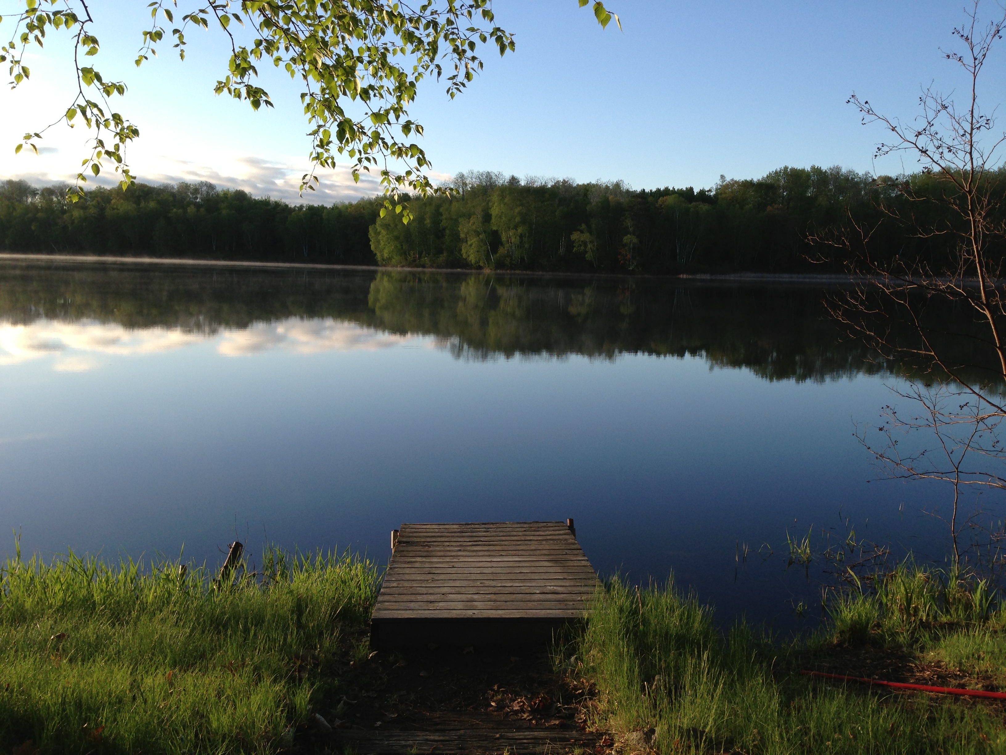
View From Under the Deck, Lakeside
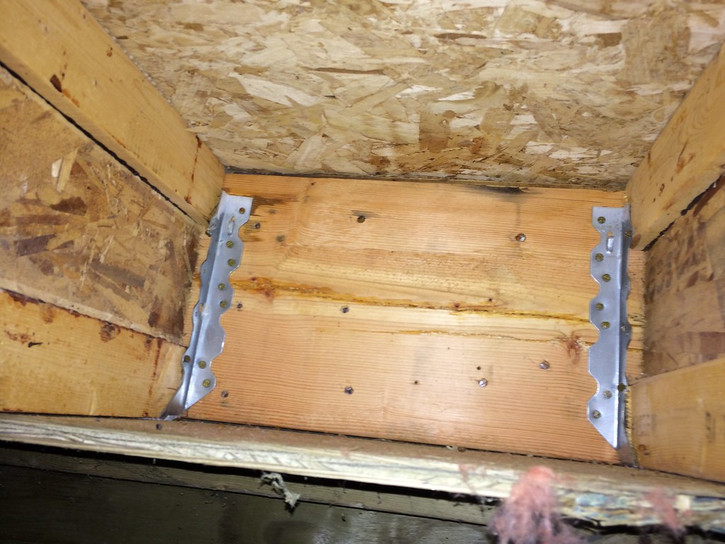
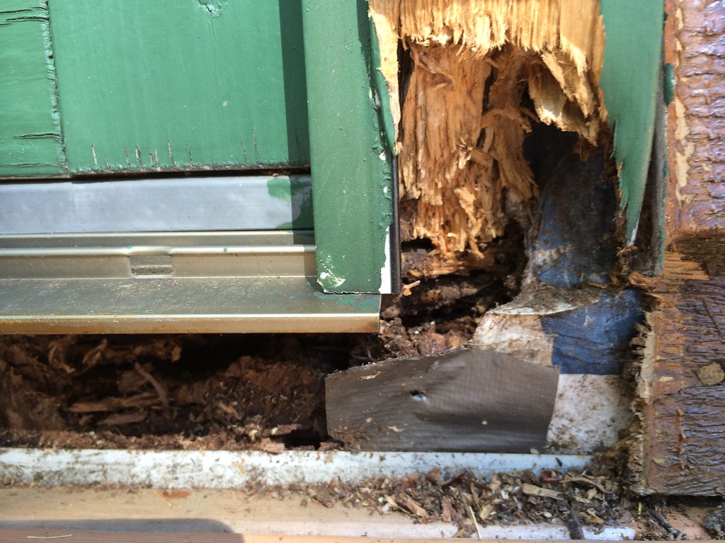
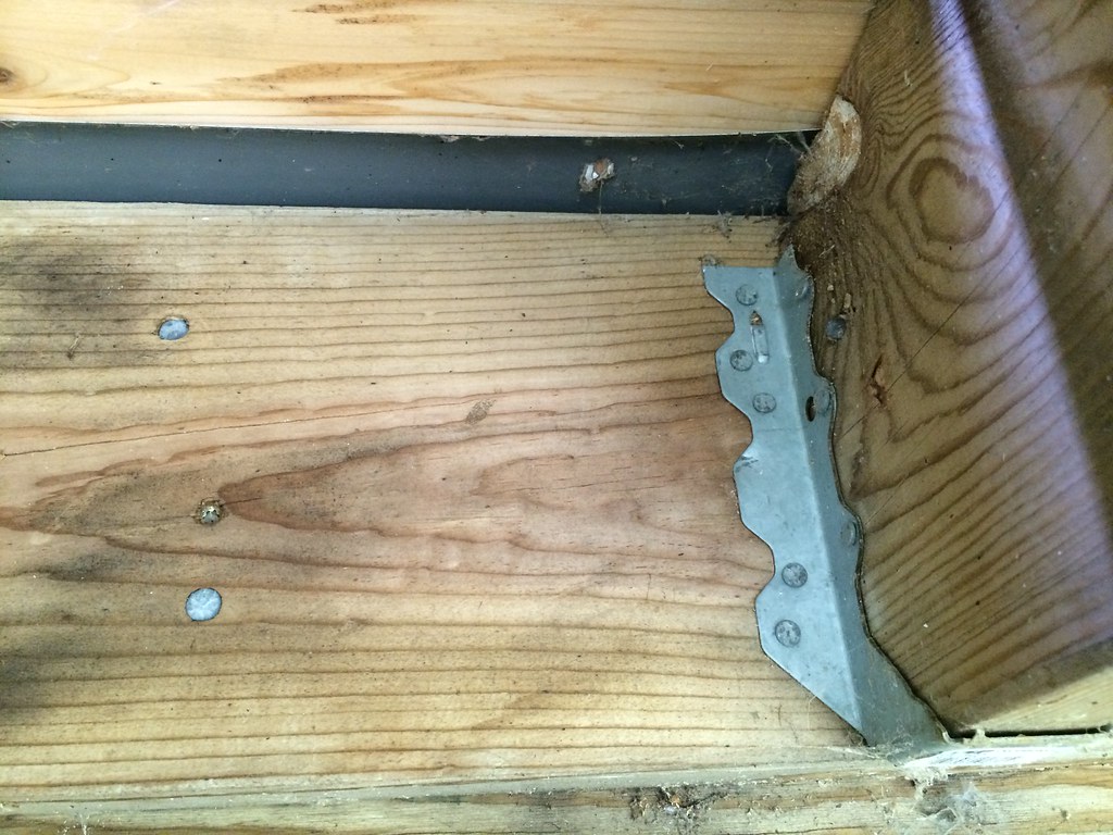
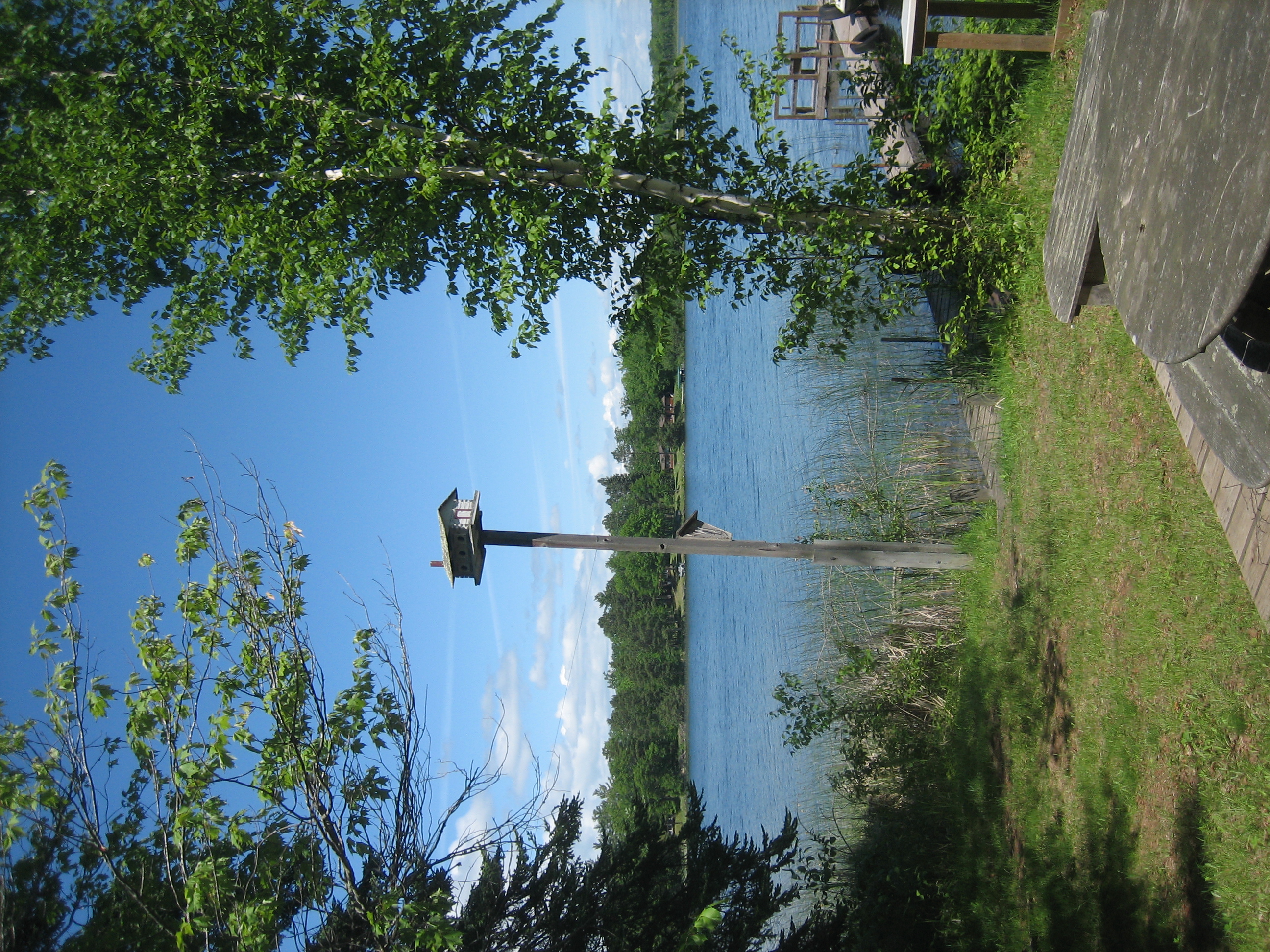
View From Under the Cabin

A Sunset

Picture 028

Picture 032

Picture 030
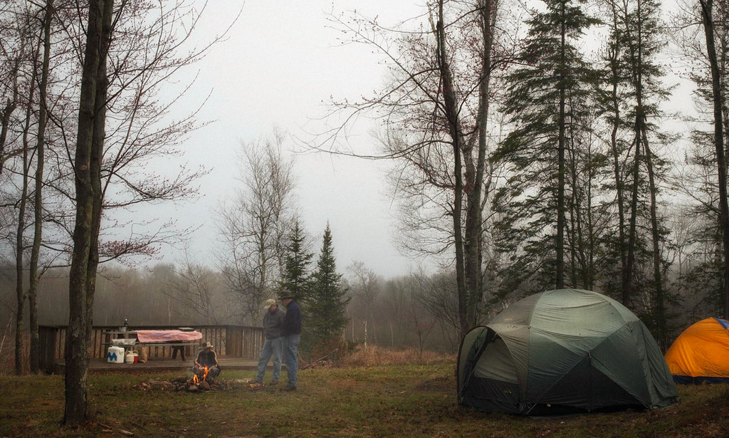
Morning at Voyager Bay
Mule Lake Morning

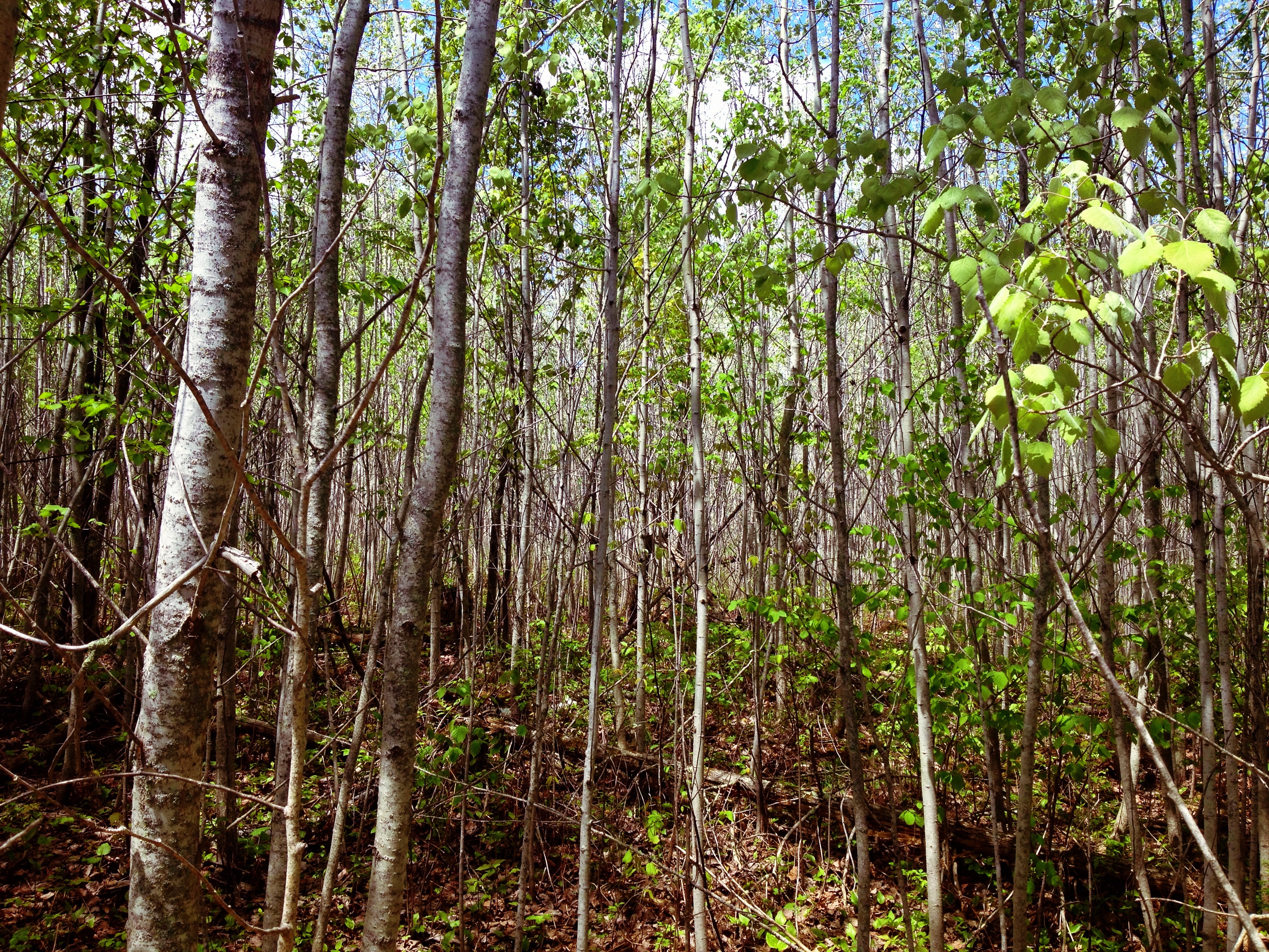
Entering Woods Bay

Sunset at All Pine Inn
Tretter Cabin
Sight lines
Topographic Map of Crooked Lake Township, MN, USA
Find elevation by address:

Places in Crooked Lake Township, MN, USA:
Places near Crooked Lake Township, MN, USA:
Outing
MN-6, Outing, MN, USA
County Rd 58 NE, Outing, MN, USA
Co Rd 1, Emily, MN, USA
Emily
Beulah Township
40625 Westman Bay Rd
Fifty Lakes
Westman Bay Rd, Fifty Lakes, MN, USA
4190 68th Ave Ne
Inguadona Township
Mix Ln NE, Longville, MN, USA
E Main St, Remer, MN, USA
Crosslake
Wabedo Township
Milinda Shores Rd, Crosslake, MN, USA
27331 Stark Lake Rd
Longville
Tobique Rd NE, Remer, MN, USA
33802 Duck Lake Trail
Recent Searches:
- Elevation of Corso Fratelli Cairoli, 35, Macerata MC, Italy
- Elevation of Tallevast Rd, Sarasota, FL, USA
- Elevation of 4th St E, Sonoma, CA, USA
- Elevation of Black Hollow Rd, Pennsdale, PA, USA
- Elevation of Oakland Ave, Williamsport, PA, USA
- Elevation of Pedrógão Grande, Portugal
- Elevation of Klee Dr, Martinsburg, WV, USA
- Elevation of Via Roma, Pieranica CR, Italy
- Elevation of Tavkvetili Mountain, Georgia
- Elevation of Hartfords Bluff Cir, Mt Pleasant, SC, USA