Elevation map of Cass County, MN, USA
Location: United States > Minnesota >
Longitude: -94.230917
Latitude: 47.2144536
Elevation: 395m / 1296feet
Barometric Pressure: 97KPa
Elevation Map:
Satellite Map:
Related Photos:

The Leech River
Luther Dell

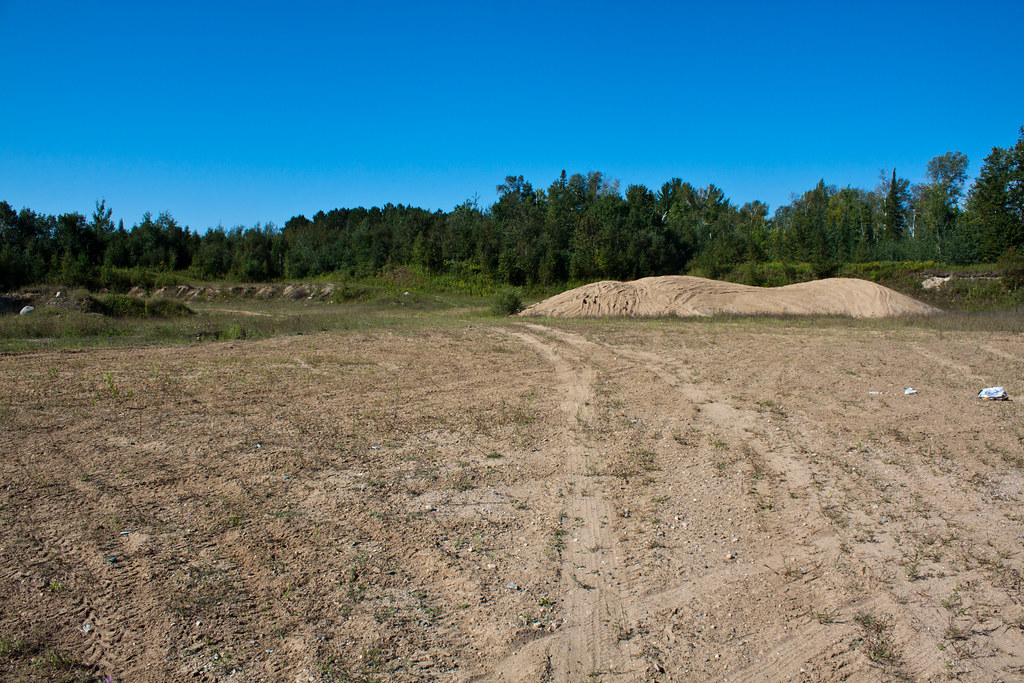
IMG_2803 Boulder Hill

Big Fish Bar

..revisited #yesitookthiswithmyiphone #truehdr #thephotocollective

have you been waiting long? #yesitookthiswithmyiphone #truehdr #thephotocollective

Besökare Samtidigt

BNSF 6003, bad memories

Fishing Sunset

Great River Roadtrip-027
20100710-063025_Misc_7708-p

She's Clean, She's Lime Green
SOO 4451

IMG_2815 Boulder Hill
IMG_2809 Boulder Hill

IMG_2807 Boulder Hill
IMG_2762 Boy River

Big Fish Near Bena, MN

Arrrr......
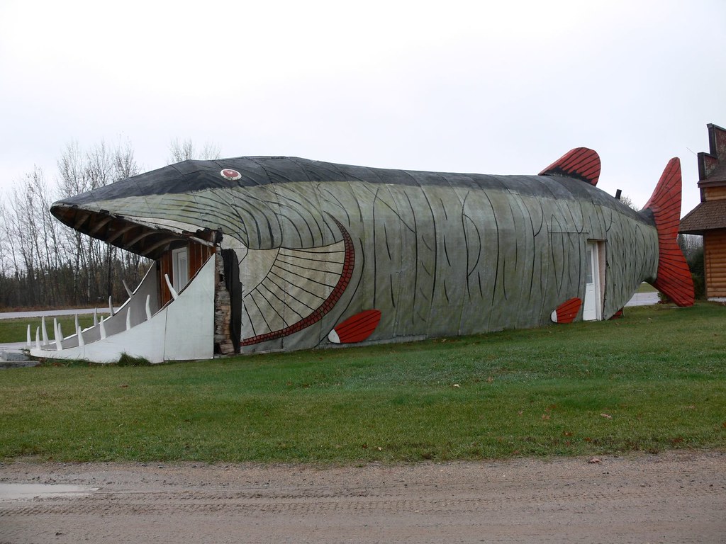
Big fish
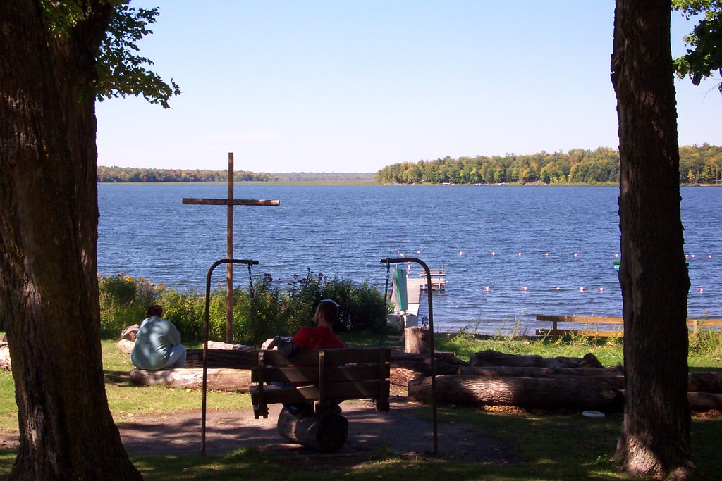
Luther Dell
Topographic Map of Cass County, MN, USA
Find elevation by address:

Places in Cass County, MN, USA:
Woodrow Township
Backus
Beulah Township
Rogers Township
Hackensack
Bena
Inguadona Township
Crooked Lake Township
Salem Township
Shingobee Township
May Township
Chickamaw Beach
Wabedo Township
Kego Township
Longville
Pike Bay Rd, Brainerd, MN, USA
80th St SW, Staples, MN, USA
Birch St, Pillager, MN, USA
Co Hwy 2, Pine River, MN, USA
E Main St, Remer, MN, USA
Pike Bay Township
Walden Township
East Gull Lake
Turtle Lake Township
Places near Cass County, MN, USA:
Kego Township
Beaver Tree Services
Turtle Lake Township
Woman Lake
3491 Mn-200
Woman Lake Lodge
Mule Lake Store
Blackwater Lake
Woodrow Township
4801 Onigum Marina Dr Nw
4807 Onigum Marina Dr Nw
8026 Timber Ln Trail Nw
8026 Timber Ln Trail Nw
Pennington, MN, USA
State Hwy, Walker, MN, USA
Walker
Pike Bay Township
Hackensack
MN-, Hackensack, MN, USA
Moose Lake Township
Recent Searches:
- Elevation of Corso Fratelli Cairoli, 35, Macerata MC, Italy
- Elevation of Tallevast Rd, Sarasota, FL, USA
- Elevation of 4th St E, Sonoma, CA, USA
- Elevation of Black Hollow Rd, Pennsdale, PA, USA
- Elevation of Oakland Ave, Williamsport, PA, USA
- Elevation of Pedrógão Grande, Portugal
- Elevation of Klee Dr, Martinsburg, WV, USA
- Elevation of Via Roma, Pieranica CR, Italy
- Elevation of Tavkvetili Mountain, Georgia
- Elevation of Hartfords Bluff Cir, Mt Pleasant, SC, USA