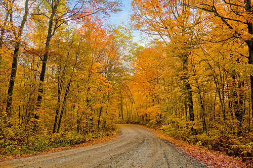
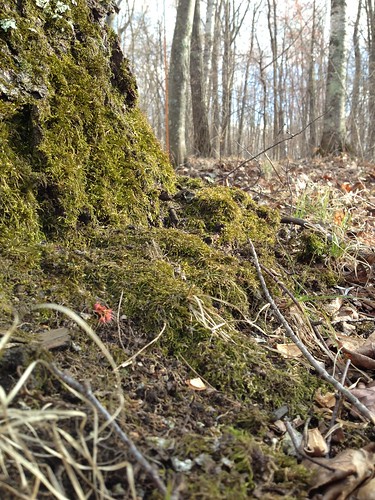
Elevation of May Township, MN, USA
Location: United States > Minnesota > Cass County >
Longitude: -94.586281
Latitude: 46.3860073
Elevation: 404m / 1325feet
Barometric Pressure: 97KPa
Related Photos:
Topographic Map of May Township, MN, USA
Find elevation by address:

Places in May Township, MN, USA:
Places near May Township, MN, USA:
th St SW, Pillager, MN, USA
91 Beaulieu St E, Motley, MN, USA
Stanchfield Lake
Birch St, Pillager, MN, USA
Shamineau Lake
33297 Bugle Rd
30851 Fishtrap Lake Dr
Scandia Valley Township
County 7
11657 Fairway Rd Sw
Staples
Cushing
State Hwy, Brainerd, MN, USA
Highland Scenic Rd, Baxter, MN, USA
50th Ave, Brainerd, MN, USA
22202 124th St
Baxter
14468 Inglewood Dr N
17540 Johnson Rd N
6095 Wetherbee Rd
Recent Searches:
- Elevation of Corso Fratelli Cairoli, 35, Macerata MC, Italy
- Elevation of Tallevast Rd, Sarasota, FL, USA
- Elevation of 4th St E, Sonoma, CA, USA
- Elevation of Black Hollow Rd, Pennsdale, PA, USA
- Elevation of Oakland Ave, Williamsport, PA, USA
- Elevation of Pedrógão Grande, Portugal
- Elevation of Klee Dr, Martinsburg, WV, USA
- Elevation of Via Roma, Pieranica CR, Italy
- Elevation of Tavkvetili Mountain, Georgia
- Elevation of Hartfords Bluff Cir, Mt Pleasant, SC, USA
