Elevation of Woodrow Township, MN, USA
Location: United States > Minnesota > Cass County >
Longitude: -94.341045
Latitude: 46.9178352
Elevation: 414m / 1358feet
Barometric Pressure: 96KPa
Elevation Map:
Satellite Map:
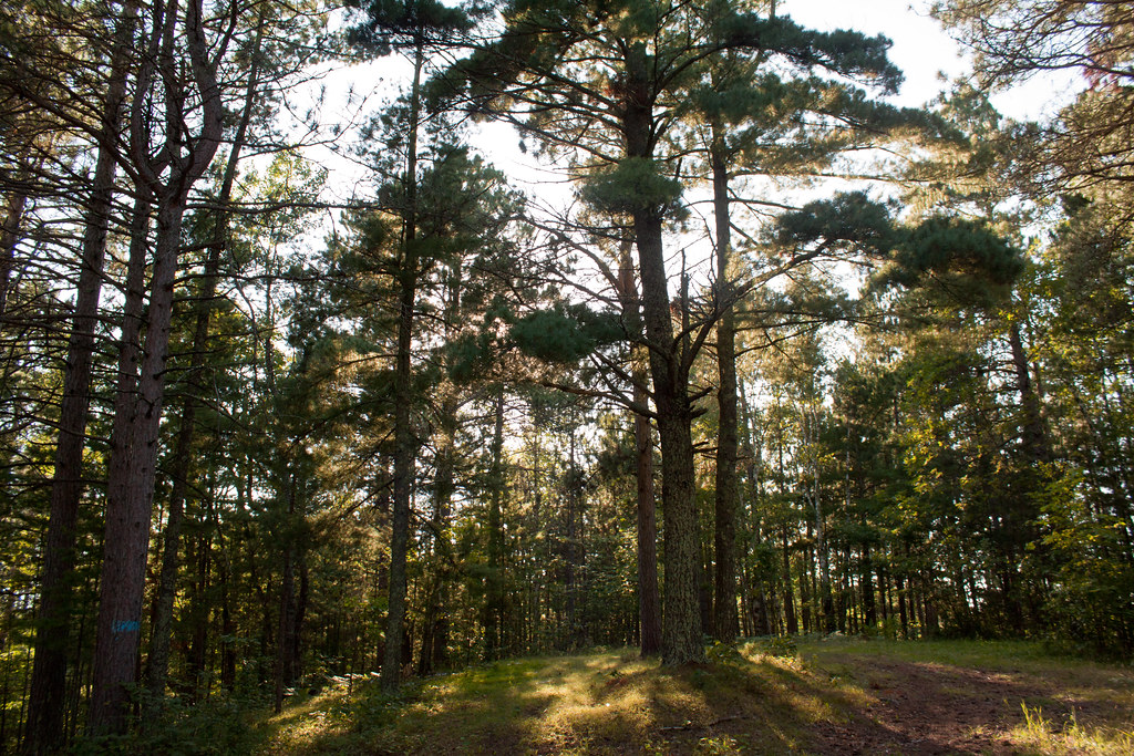
Related Photos:
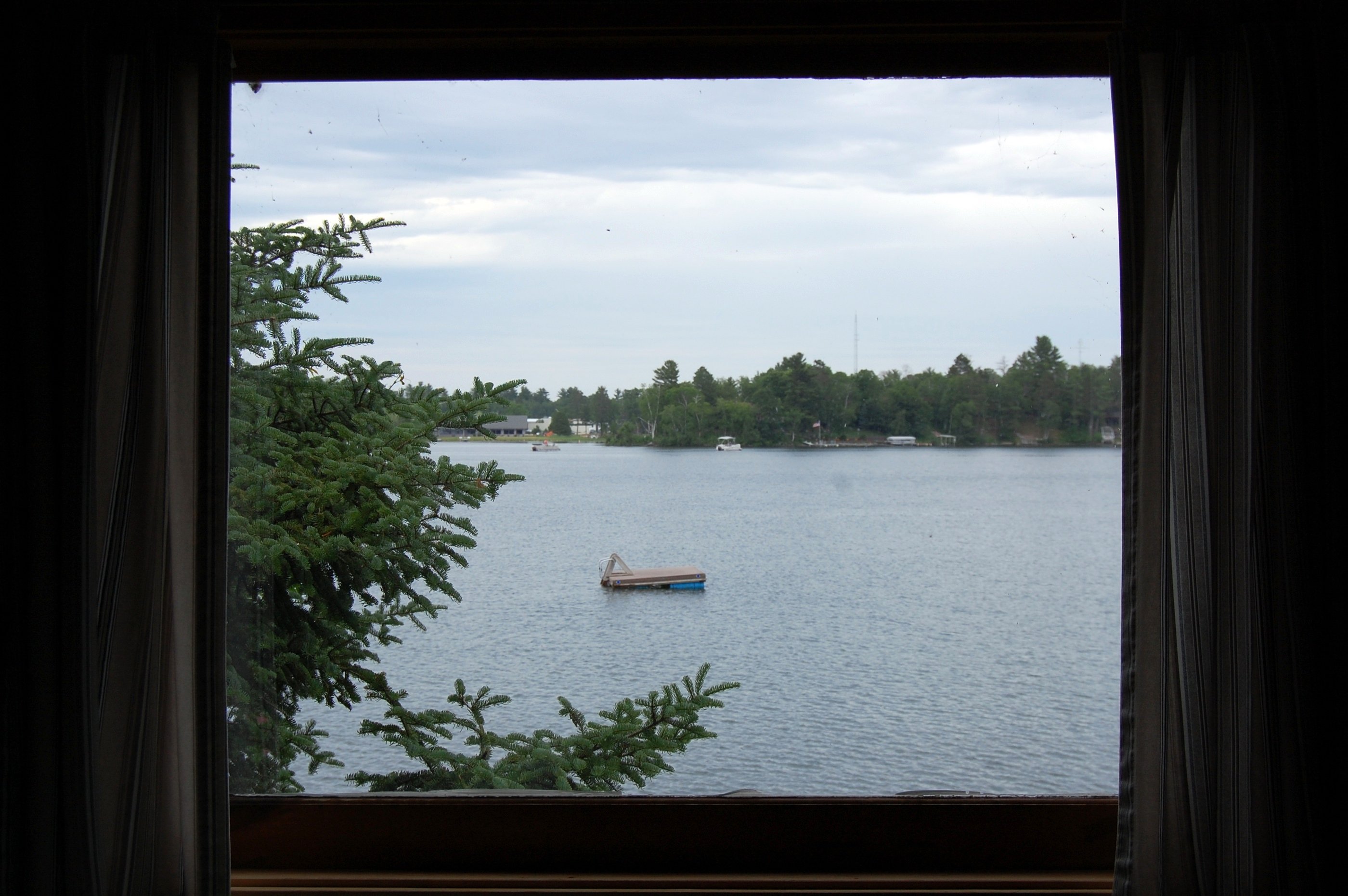
Our view from inside "Lazy Days"

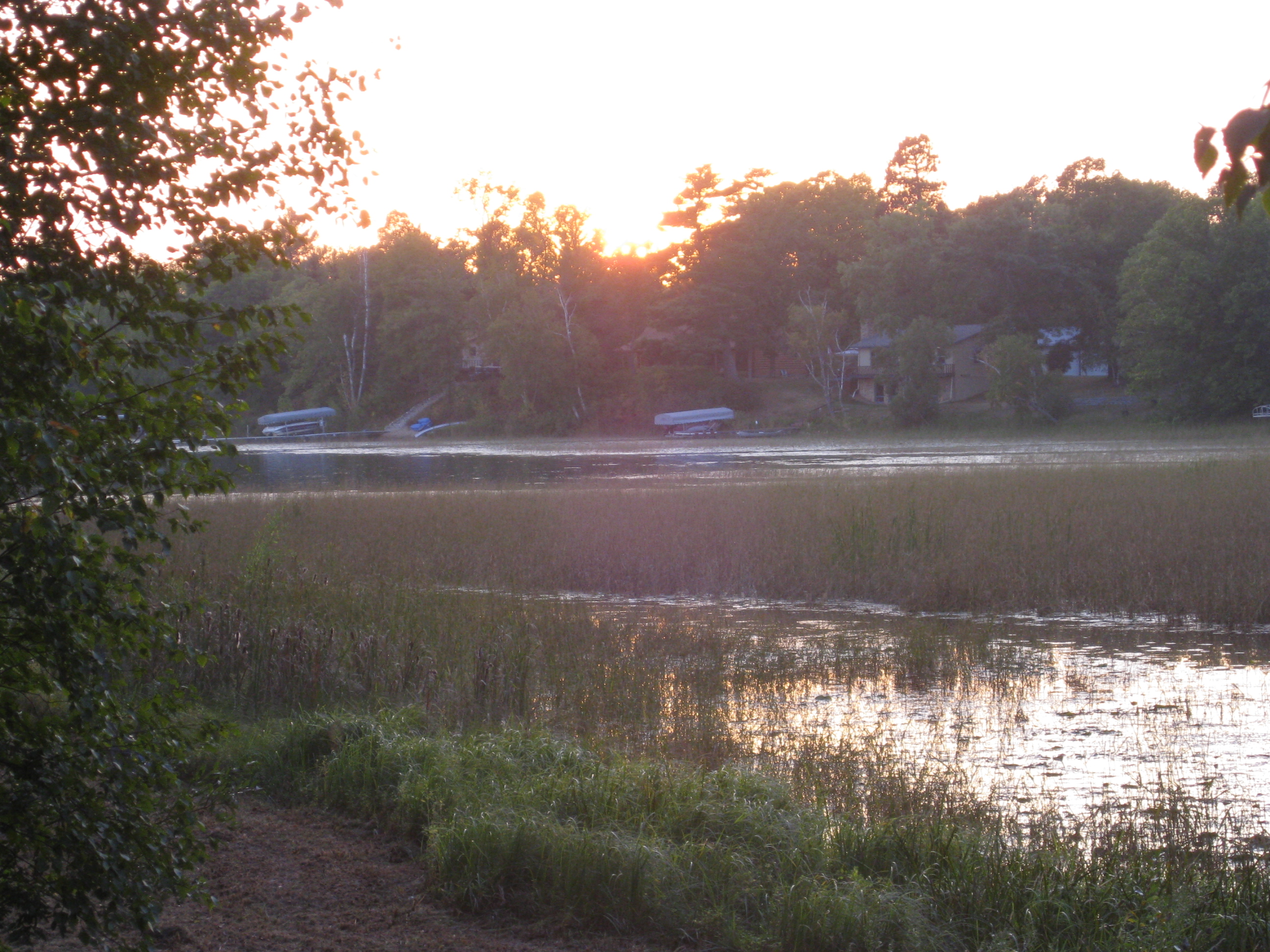
Sunrise over Woman Lake
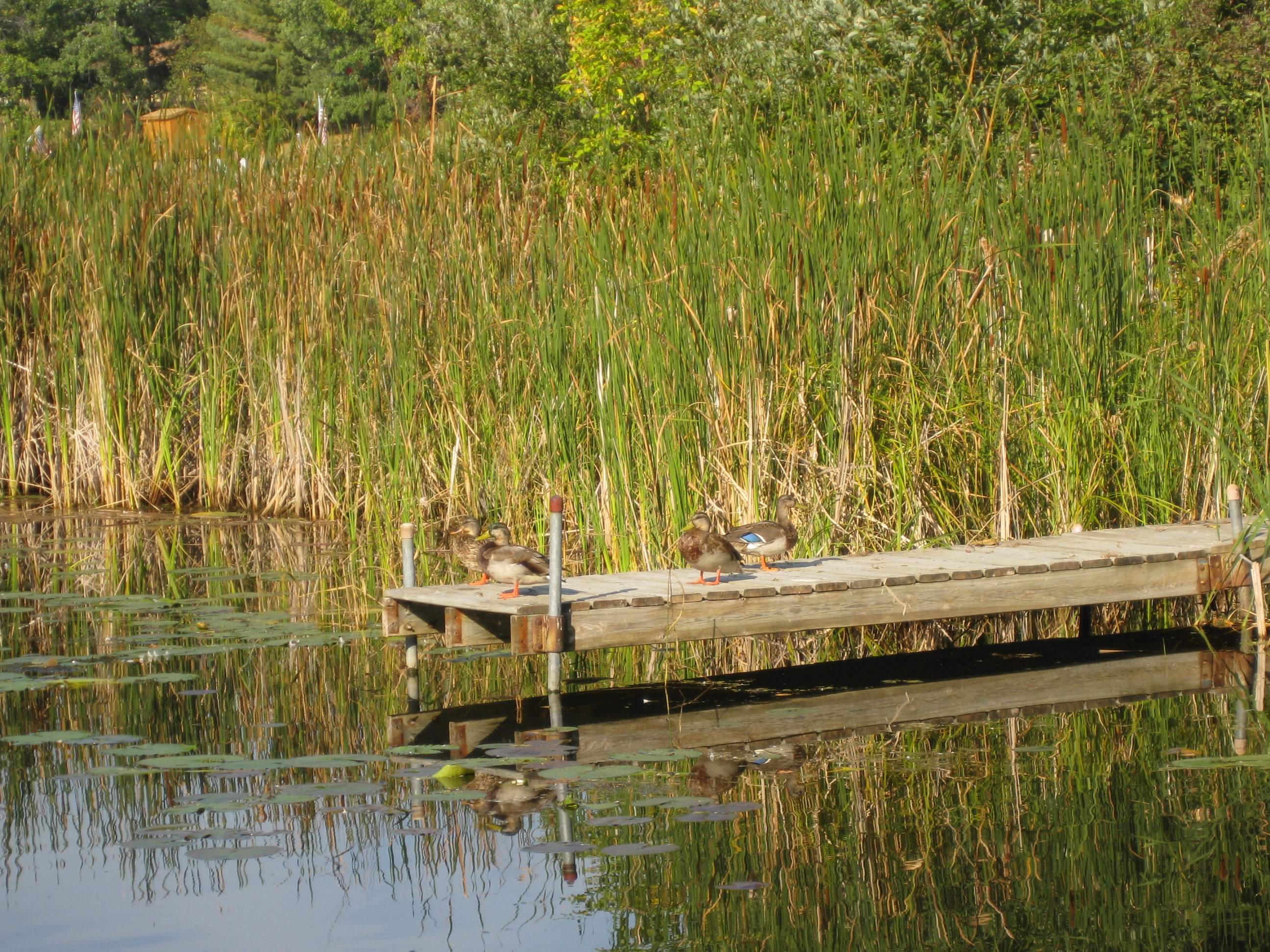
Ducks on the dock
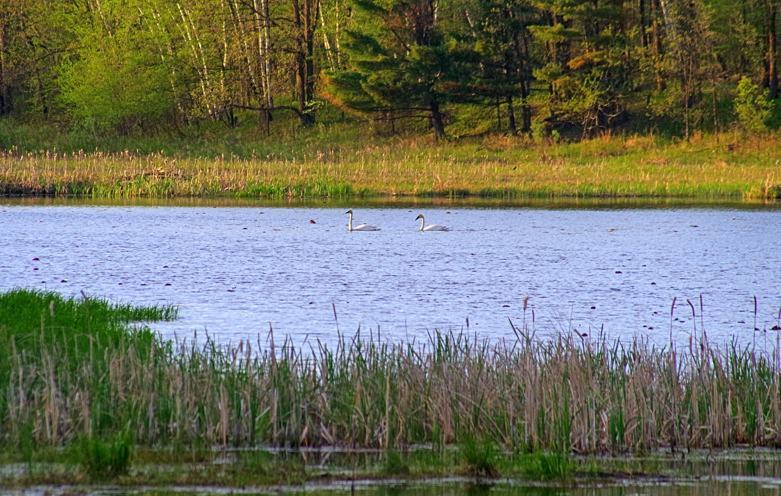
Trumpeter Swans
Sunset on Girl Lake

Dawn on Woman Lake
IMG_2466 Longville
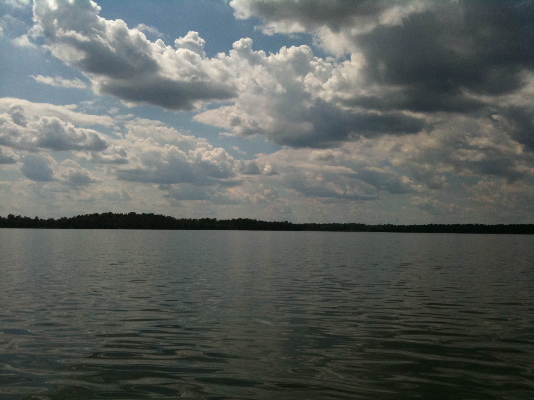
The Lake

Evening Calm

Longville, MN

#minnesota

IMG_2656 Birch Lake
Topographic Map of Woodrow Township, MN, USA
Find elevation by address:

Places in Woodrow Township, MN, USA:
Places near Woodrow Township, MN, USA:
Woman Lake Lodge
Blackwater Lake
Woman Lake
Mule Lake Store
Kego Township
Beaver Tree Services
3491 Mn-200
MN-, Hackensack, MN, USA
Indian Trail Ln, Pine River, MN, USA
Chickamaw Beach
Hackensack
Turtle Lake Township
Washburn Ave, Backus, MN, USA
Backus
14th St SW, Backus, MN, USA
Co Hwy 2, Pine River, MN, USA
Pine River
Ideal Township
4807 Onigum Marina Dr Nw
4801 Onigum Marina Dr Nw
Recent Searches:
- Elevation of Corso Fratelli Cairoli, 35, Macerata MC, Italy
- Elevation of Tallevast Rd, Sarasota, FL, USA
- Elevation of 4th St E, Sonoma, CA, USA
- Elevation of Black Hollow Rd, Pennsdale, PA, USA
- Elevation of Oakland Ave, Williamsport, PA, USA
- Elevation of Pedrógão Grande, Portugal
- Elevation of Klee Dr, Martinsburg, WV, USA
- Elevation of Via Roma, Pieranica CR, Italy
- Elevation of Tavkvetili Mountain, Georgia
- Elevation of Hartfords Bluff Cir, Mt Pleasant, SC, USA