Elevation map of Migori County, Kenya
Location: Kenya >
Longitude: 34.4198243
Latitude: -0.9365702
Elevation: 1311m / 4301feet
Barometric Pressure: 0KPa
Related Photos:

Thatched Huts
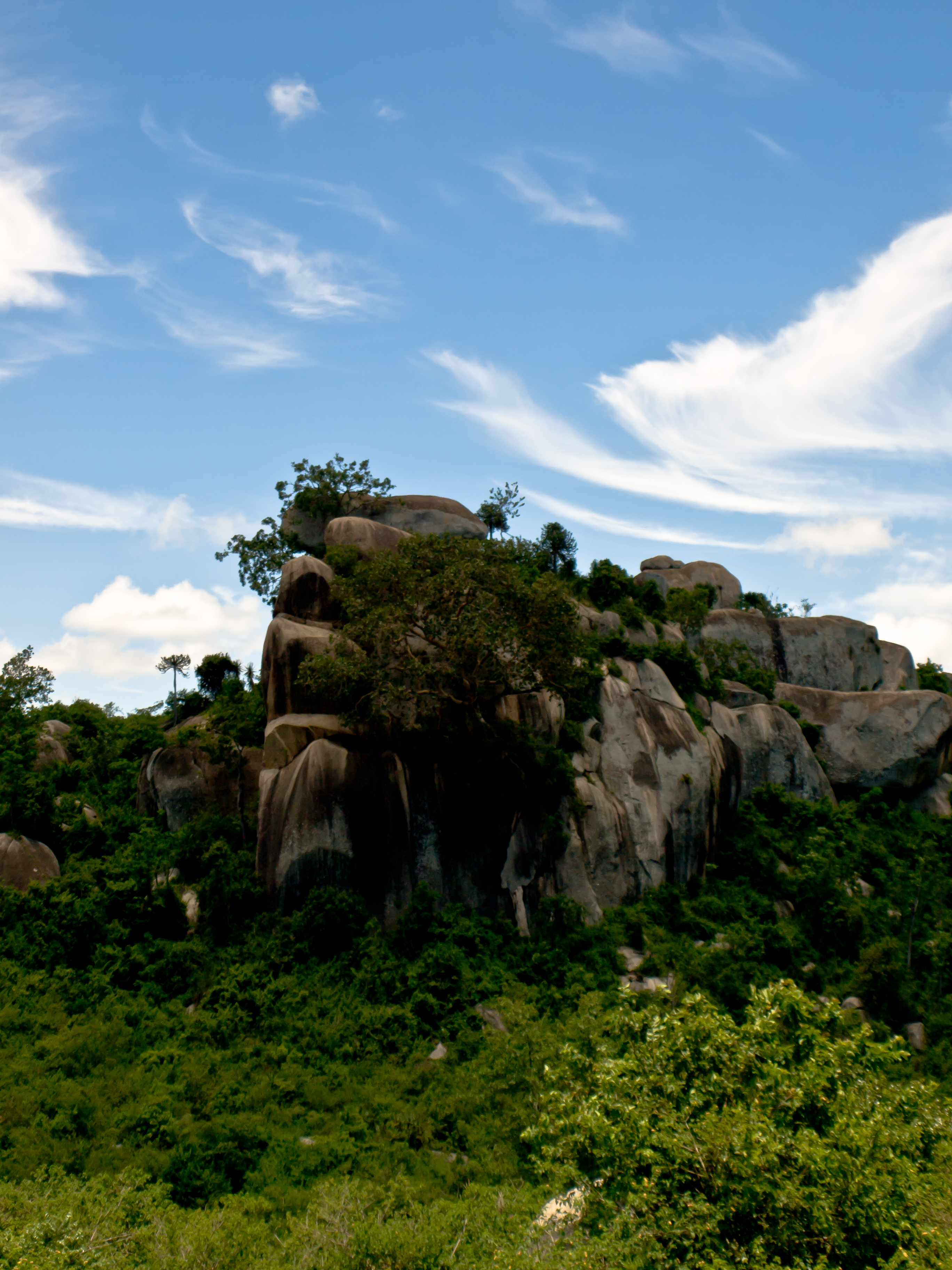
Rocky Outcrop

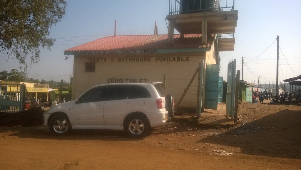
Petrol station

Roadside shop

Black and brown shoes for sale

WP_20150815_001(1)

WP_20150815_002(1)

WP_20150815_003(1)

WP_20150815_008(1)

WP_20150815_009(1)

WP_20150815_001(1)
WP_20150815_002(1)

WP_20150815_003(1)

WP_20150815_008(1)

WP_20150815_009(1)

Road scene
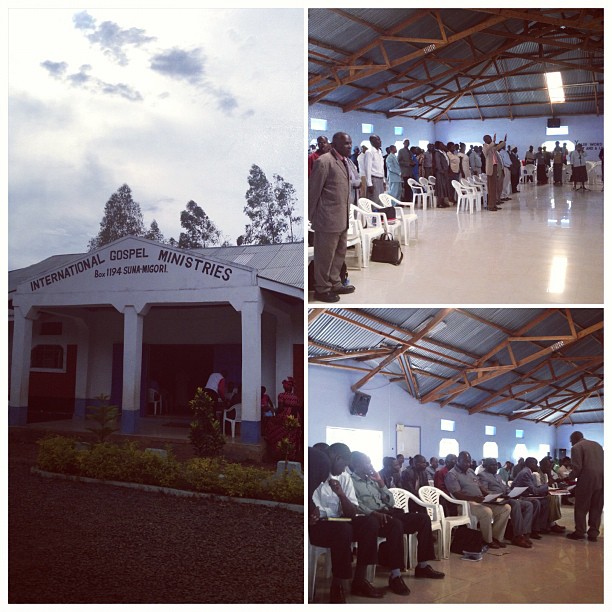
Conf location day 3 : International Gospel Ministries #KenyaRelief2012

Thankful for the men who keep watch over us. #KenyaRelief2012

Conference day 3 : Matt Slate preparing / preaching

Conference day 3 : @craigloibner preaching / preparing #KenyaRelief2012

Kenyan Town
Topographic Map of Migori County, Kenya
Find elevation by address:

Places in Migori County, Kenya:
Places near Migori County, Kenya:
Katieno I
St. Joseph's School, Rapogi
Thimlich Ohinga Historic Site
Migori
Rongo
Homa Bay County
Homa Bay
Kisii County
Shirati
Kisii
Enchoro Sda Church
Kilgoris
Co-op Kwa Jirani Dawamu Enterprises
Keroka
Kakoko
Karachuonyo
Luanda K'otieno Pier
Naya
Rusinga Islands
Kaswanga
Recent Searches:
- Elevation map of Greenland, Greenland
- Elevation of Sullivan Hill, New York, New York, 10002, USA
- Elevation of Morehead Road, Withrow Downs, Charlotte, Mecklenburg County, North Carolina, 28262, USA
- Elevation of 2800, Morehead Road, Withrow Downs, Charlotte, Mecklenburg County, North Carolina, 28262, USA
- Elevation of Yangbi Yi Autonomous County, Yunnan, China
- Elevation of Pingpo, Yangbi Yi Autonomous County, Yunnan, China
- Elevation of Mount Malong, Pingpo, Yangbi Yi Autonomous County, Yunnan, China
- Elevation map of Yongping County, Yunnan, China
- Elevation of North 8th Street, Palatka, Putnam County, Florida, 32177, USA
- Elevation of 107, Big Apple Road, East Palatka, Putnam County, Florida, 32131, USA
- Elevation of Jiezi, Chongzhou City, Sichuan, China
- Elevation of Chongzhou City, Sichuan, China
- Elevation of Huaiyuan, Chongzhou City, Sichuan, China
- Elevation of Qingxia, Chengdu, Sichuan, China
- Elevation of Corso Fratelli Cairoli, 35, Macerata MC, Italy
- Elevation of Tallevast Rd, Sarasota, FL, USA
- Elevation of 4th St E, Sonoma, CA, USA
- Elevation of Black Hollow Rd, Pennsdale, PA, USA
- Elevation of Oakland Ave, Williamsport, PA, USA
- Elevation of Pedrógão Grande, Portugal