Elevation of Luanda K'Otieno Pier, Siaya, Kenya
Location: Kenya > Siaya > Naya >
Longitude: 34.283368
Latitude: -0.3837086
Elevation: 1135m / 3724feet
Barometric Pressure: 0KPa
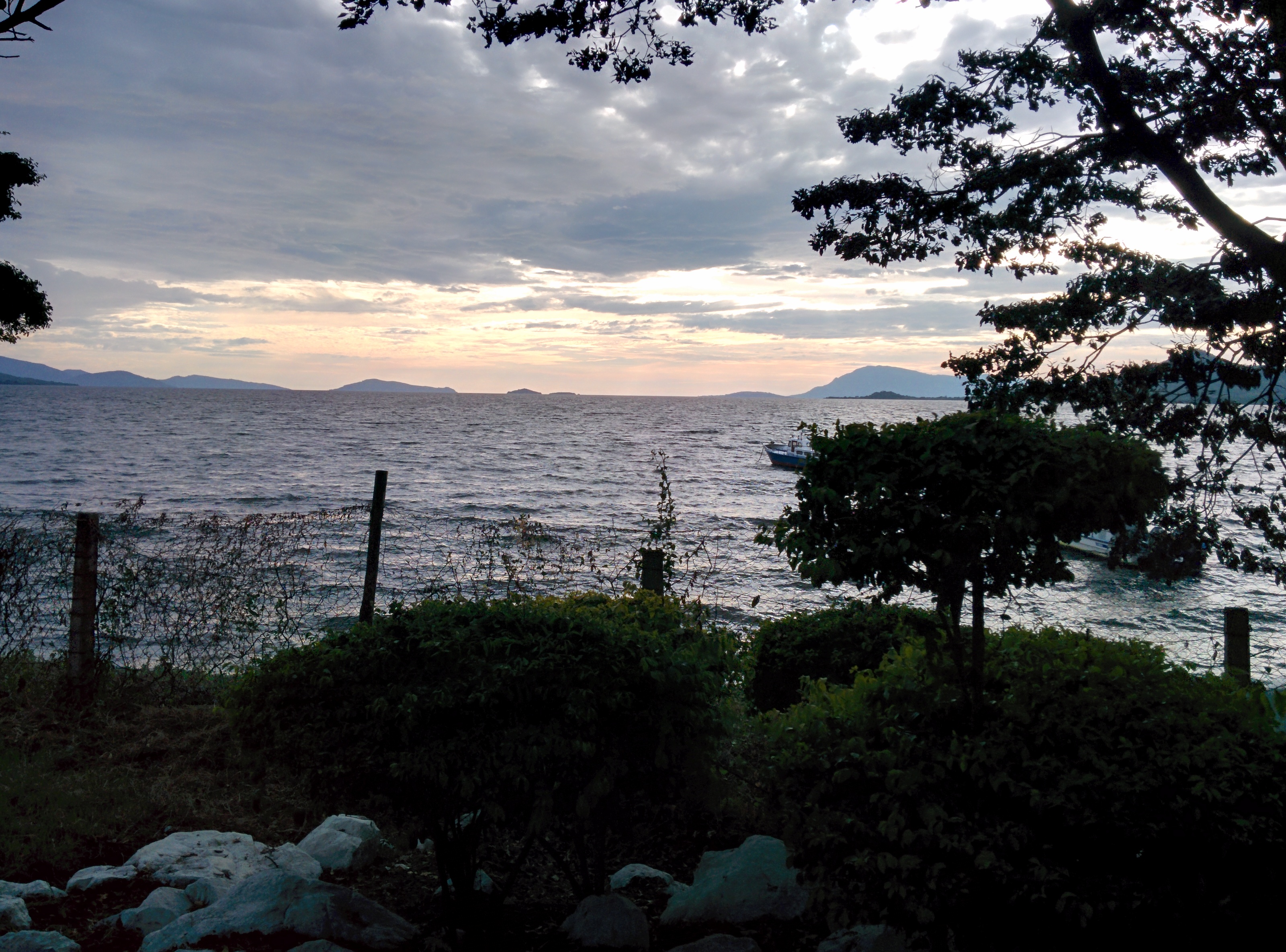
Related Photos:
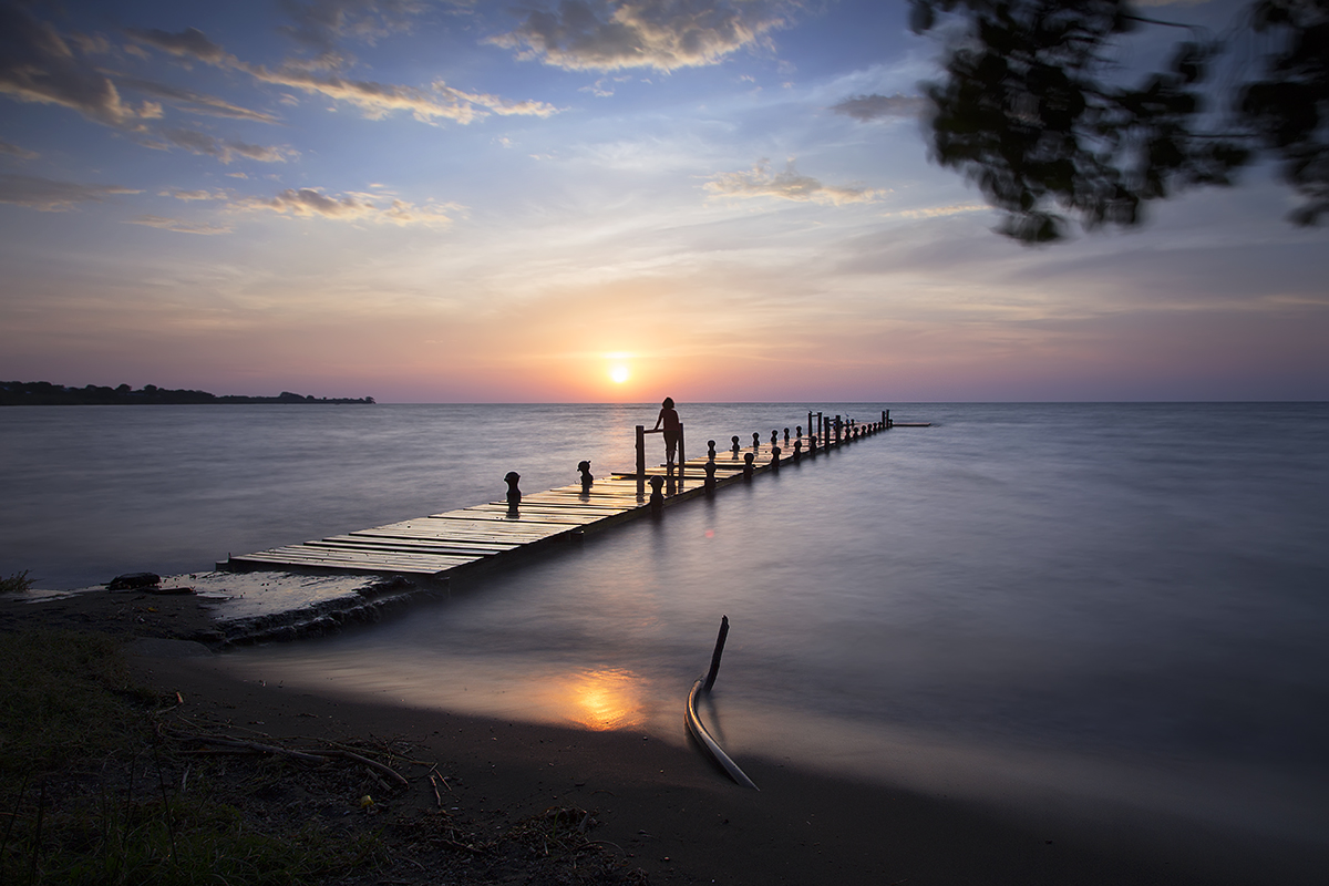
Sunset at Rusinga Island

Love Is In The Pier

Sunset at Lake Victoria

nd-201307-Mbita-01

The Fishermen 3

The fishermen 4
Lake Victoria, sunset

The international game

The Village 3

The Village 2

Cars on Ferry
Topographic Map of Luanda K'Otieno Pier, Siaya, Kenya
Find elevation by address:

Places near Luanda K'Otieno Pier, Siaya, Kenya:
Naya
Rusinga Islands
Kaswanga
Aram Market
Homa Bay
Homa Bay County
Kakoko
Karachuonyo
Siaya
Kolenyo Health Centre
West Kanyadwera
Akala
Kombewa District Hospital
Pau Akuche
Kanyawegi
Rongo
Maseno
Thimlich Ohinga Historic Site
Katieno I
Mikai
Recent Searches:
- Elevation of 4655, Krischke Road, Schulenburg, Fayette County, Texas, 78956, USA
- Elevation of Carnegie Avenue, Downtown Cleveland, Cleveland, Cuyahoga County, Ohio, 44115, USA
- Elevation of Walhonding, Coshocton County, Ohio, USA
- Elevation of Clifton Down, Clifton, Bristol, City of Bristol, England, BS8 3HU, United Kingdom
- Elevation map of Auvergne-Rhône-Alpes, France
- Elevation map of Upper Savoy, Auvergne-Rhône-Alpes, France
- Elevation of Chamonix-Mont-Blanc, Upper Savoy, Auvergne-Rhône-Alpes, France
- Elevation of 908, Northwood Drive, Bridge Field, Chesapeake, Virginia, 23322, USA
- Elevation map of Nagano Prefecture, Japan
- Elevation of 587, Bascule Drive, Oakdale, Stanislaus County, California, 95361, USA
- Elevation of Stadion Wankdorf, Sempachstrasse, Breitfeld, Bern, Bern-Mittelland administrative district, Bern, 3014, Switzerland
- Elevation of Z024, 76, Emil-von-Behring-Straße, Marbach, Marburg, Landkreis Marburg-Biedenkopf, Hesse, 35041, Germany
- Elevation of Gaskill Road, Hunts Cross, Liverpool, England, L24 9PH, United Kingdom
- Elevation of Speke, Liverpool, England, L24 9HD, United Kingdom
- Elevation of Seqirus, 475, Green Oaks Parkway, Holly Springs, Wake County, North Carolina, 27540, USA
- Elevation of Pasing, Munich, Bavaria, 81241, Germany
- Elevation of 24, Auburn Bay Crescent SE, Auburn Bay, Calgary, Alberta, T3M 0A6, Canada
- Elevation of Denver, 2314, Arapahoe Street, Five Points, Denver, Colorado, 80205, USA
- Elevation of Community of the Beatitudes, 2924, West 43rd Avenue, Sunnyside, Denver, Colorado, 80211, USA
- Elevation map of Litang County, Sichuan, China