Elevation of Midlane, Shepherd, TX, USA
Location: United States > Texas > San Jacinto County > Shepherd >
Longitude: -94.937648
Latitude: 30.457866
Elevation: 41m / 135feet
Barometric Pressure: 101KPa
Elevation Map:
Satellite Map:
Related Photos:
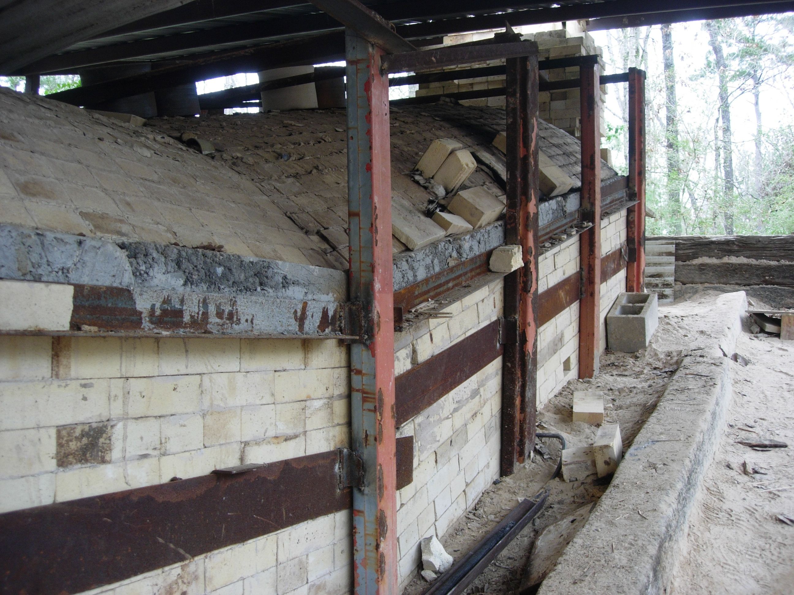
anagama/Shane Tidmore
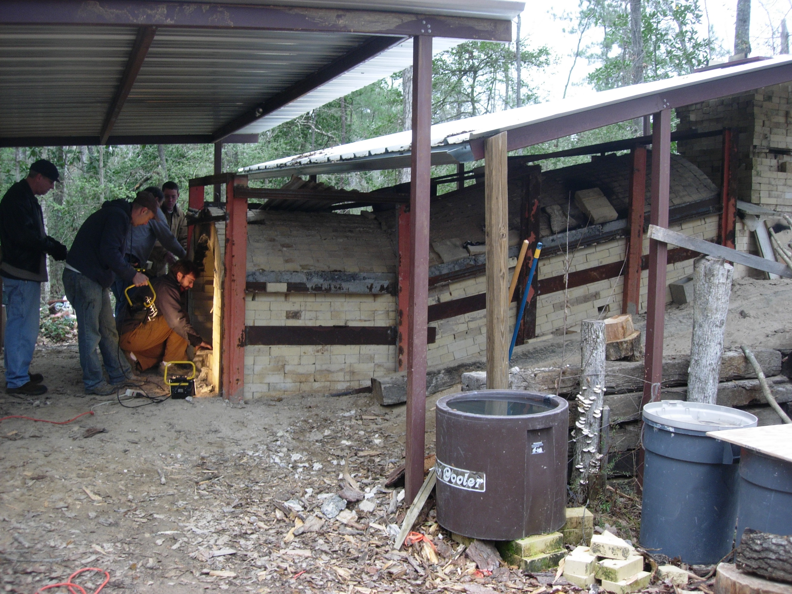
anagama/Shane Tidmore

Horseback View

I know not

By the side of the road.

Bidens aristosa

2013-05-20 11.00.42

The last time I was in Texas...
DSCN0497.JPG

DSCN2031.JPG

Sunset-O-Lakes

DSCN0495.JPG

DSCN0673.JPG
DSCN0251.JPG

DSCN0503.JPG

DSCN0538.JPG
Topographic Map of Midlane, Shepherd, TX, USA
Find elevation by address:

Places near Midlane, Shepherd, TX, USA:
21 Eagles Nest, Shepherd, TX, USA
102 County Rd 2179
Coogler Lane
387 Fm 223 Rd
160 Hillside Dr
200 Church St
Shepherd
County Rd, Cleveland, TX, USA
Richey Road
Farm To Market 1127
300 Manuel Rd
Red Oak Lane
468 County Rd 2237
369 County Rd 2237
191 County Rd 2237
302 County Rd 2237
101 County Rd 2237
1300 Fm2518
US-59, Shepherd, TX, USA
Ace
Recent Searches:
- Elevation of Corso Fratelli Cairoli, 35, Macerata MC, Italy
- Elevation of Tallevast Rd, Sarasota, FL, USA
- Elevation of 4th St E, Sonoma, CA, USA
- Elevation of Black Hollow Rd, Pennsdale, PA, USA
- Elevation of Oakland Ave, Williamsport, PA, USA
- Elevation of Pedrógão Grande, Portugal
- Elevation of Klee Dr, Martinsburg, WV, USA
- Elevation of Via Roma, Pieranica CR, Italy
- Elevation of Tavkvetili Mountain, Georgia
- Elevation of Hartfords Bluff Cir, Mt Pleasant, SC, USA