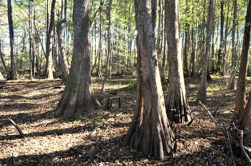
Elevation of Ace, TX, USA
Location: United States > Texas > Polk County >
Longitude: -94.824374
Latitude: 30.5363152
Elevation: 54m / 177feet
Barometric Pressure: 101KPa
Related Photos:
Topographic Map of Ace, TX, USA
Find elevation by address:

Places near Ace, TX, USA:
Co Rd, Cleveland, TX, USA
Farm To Market 1127
171 Outlaw Bend Rd
162 Hawk
21 Eagles Nest, Shepherd, TX, USA
Holly Grove Rd, Livingston, TX, USA
TX-, Cleveland, TX, USA
162 Long Moss
162 Long Moss
140 Escapees Dr
3020 Providence Rd
5627 Holly Grove Rd
268 Boone Rd
Midlane, Shepherd, TX, USA
387 Fm 223 Rd
Goodrich
East Ave, Goodrich, TX, USA
Coogler Lane
1381 Soda Loop W
831 Presidio
Recent Searches:
- Elevation of Corso Fratelli Cairoli, 35, Macerata MC, Italy
- Elevation of Tallevast Rd, Sarasota, FL, USA
- Elevation of 4th St E, Sonoma, CA, USA
- Elevation of Black Hollow Rd, Pennsdale, PA, USA
- Elevation of Oakland Ave, Williamsport, PA, USA
- Elevation of Pedrógão Grande, Portugal
- Elevation of Klee Dr, Martinsburg, WV, USA
- Elevation of Via Roma, Pieranica CR, Italy
- Elevation of Tavkvetili Mountain, Georgia
- Elevation of Hartfords Bluff Cir, Mt Pleasant, SC, USA


