Elevation of Red Oak Lane, Red Oak Ln, Texas, USA
Location: United States > Texas > San Jacinto County > Shepherd >
Longitude: -95.055609
Latitude: 30.4237907
Elevation: 52m / 171feet
Barometric Pressure: 101KPa
Elevation Map:
Satellite Map:
Related Photos:

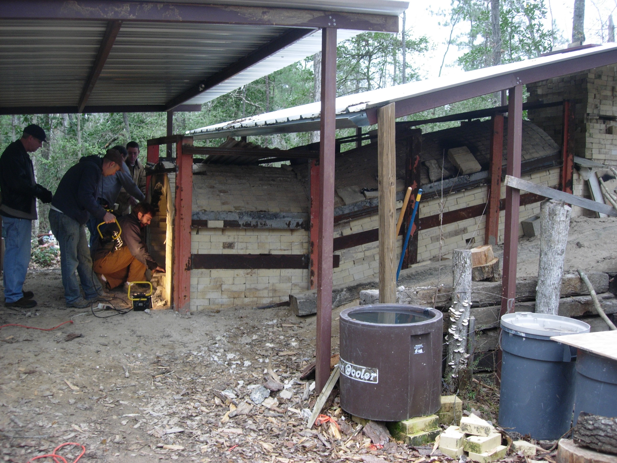
The Station
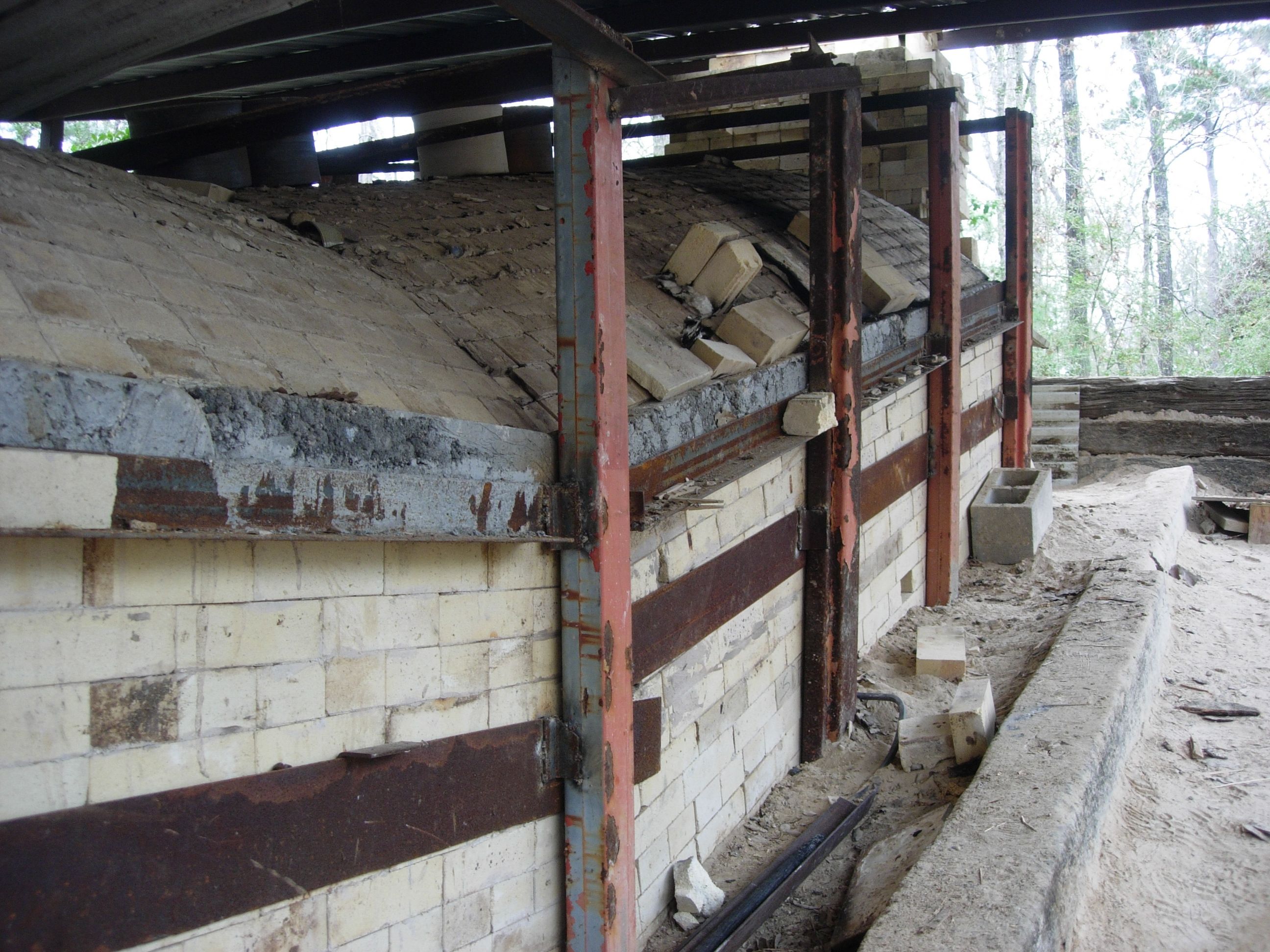
anagama/Shane Tidmore

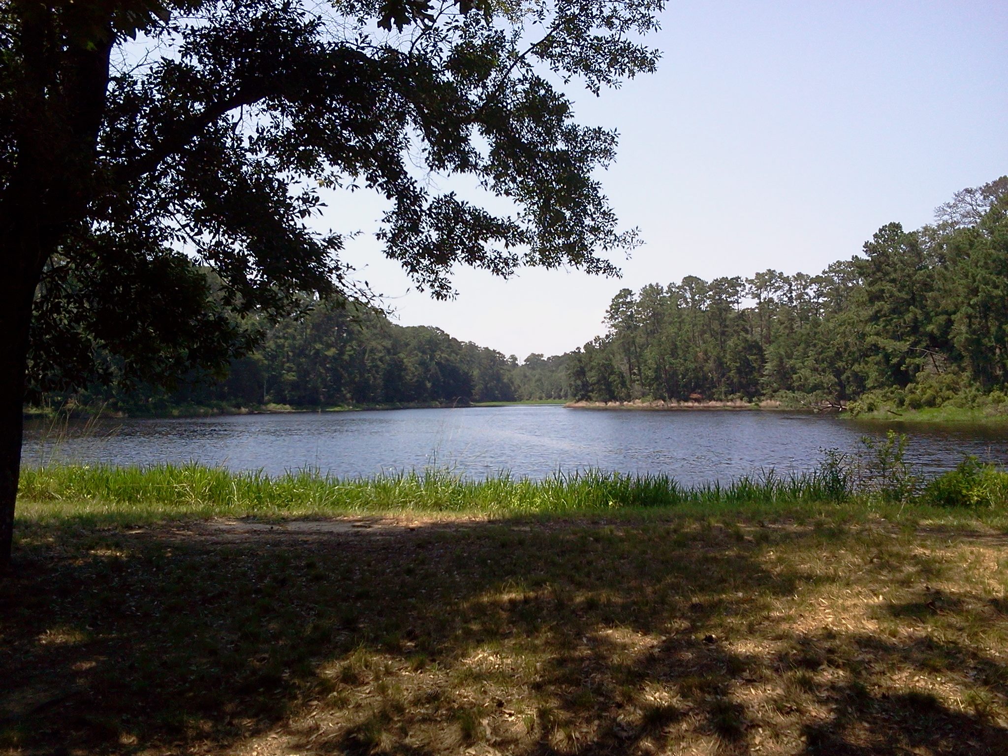
Double Lake
anagama/Shane Tidmore

Frozen Color

Can't See the Forest For the Trees

By the side of the road.
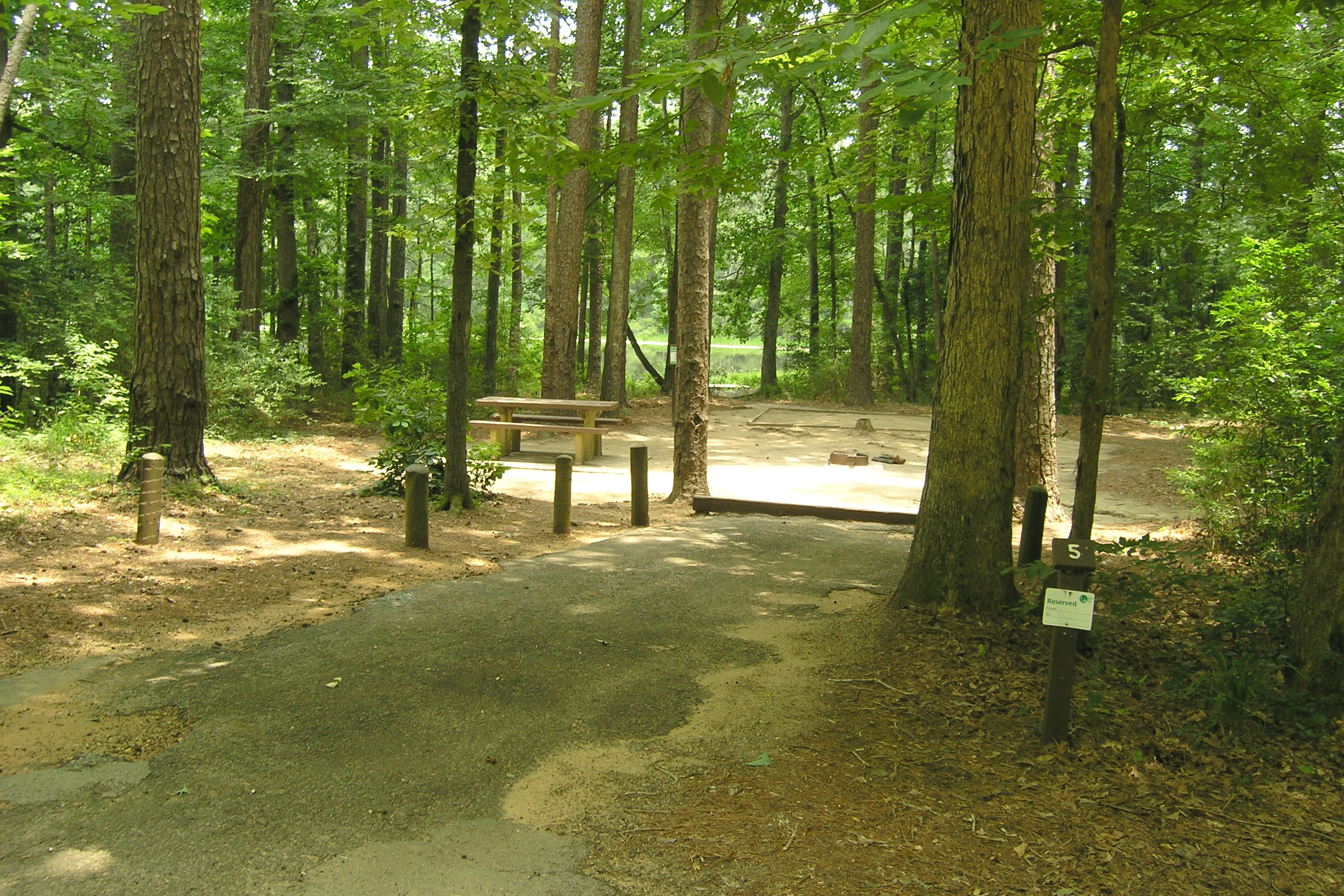
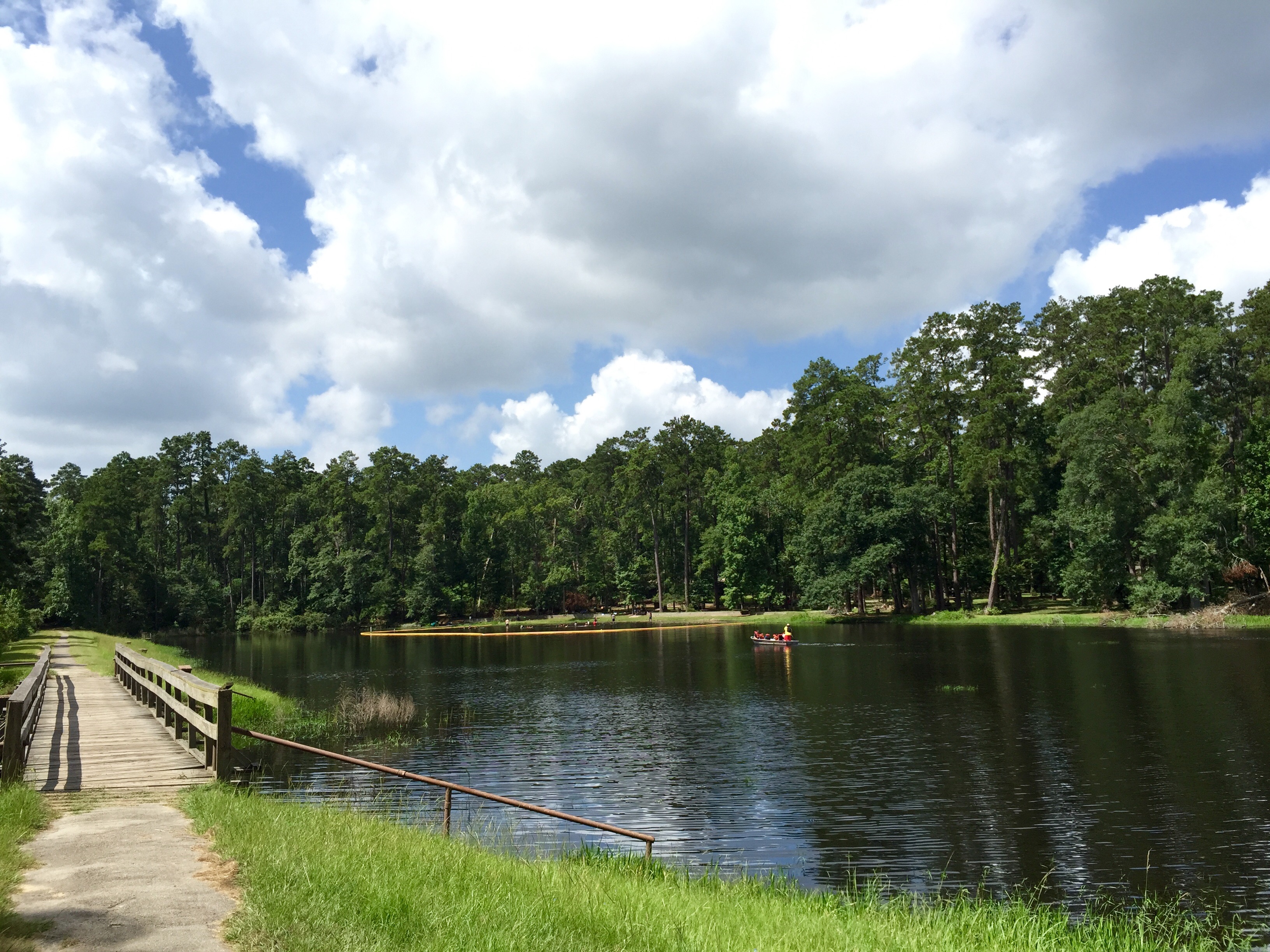
Double Lake Campground, Texas
Double Lake
Double Lake

DSCN0251.JPG
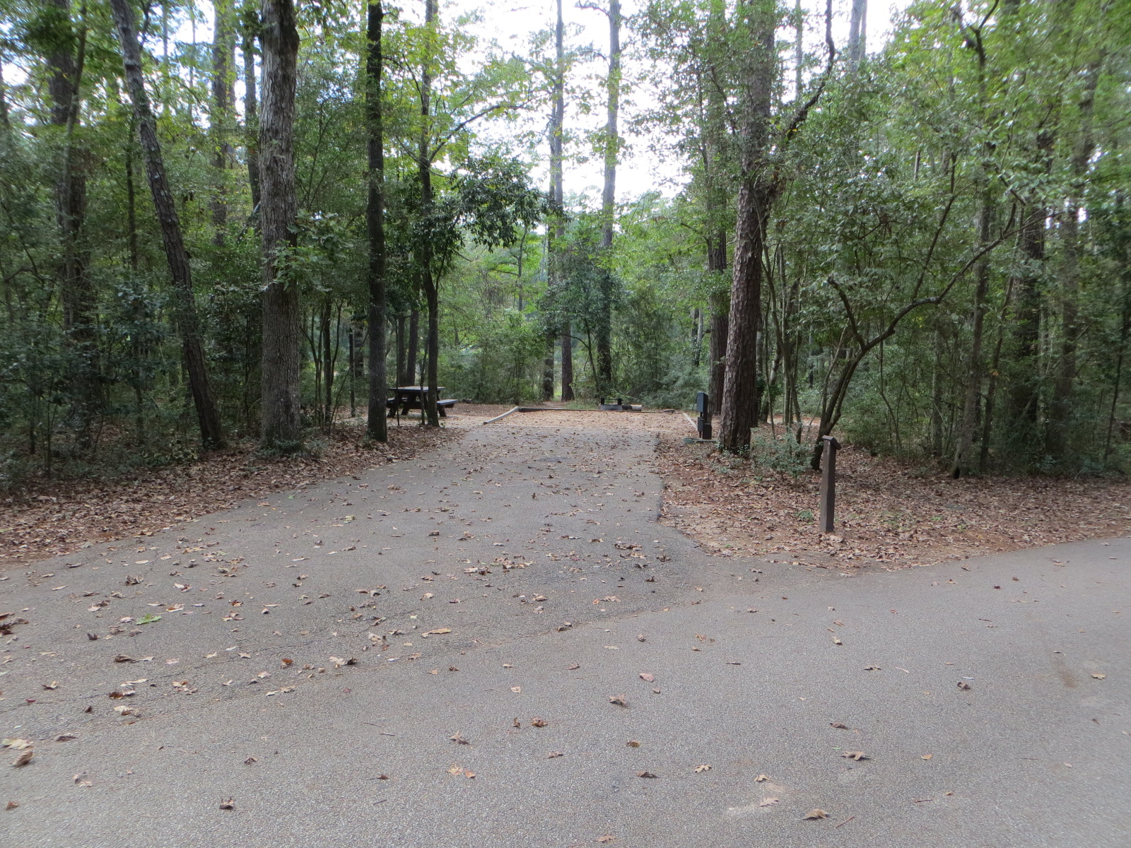
Double Lake Example Water and Electric Site
Double Lake
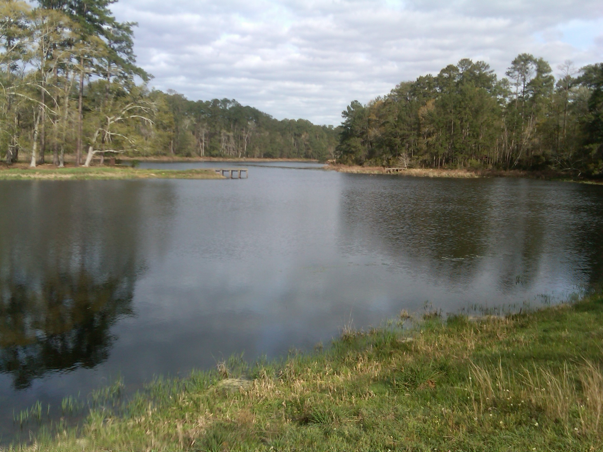
Double Lake with actual water in it.
Topographic Map of Red Oak Lane, Red Oak Ln, Texas, USA
Find elevation by address:

Places near Red Oak Lane, Red Oak Ln, Texas, USA:
US-59, Shepherd, TX, USA
418 Fm 2025
160 Hillside Dr
Richey Road
300 Manuel Rd
Cleveland
602 Shell Ave
County Rd, Cleveland, TX, USA
703 E Hanson St
403 Dudley St
104 E Waco St
Shepherd
530 Wells Ave
710 River St
1107 Plum Grove Rd
1107 Plum Grove Rd
200 Church St
121 Rice St
107 Rice St
103 Rice St
Recent Searches:
- Elevation of Corso Fratelli Cairoli, 35, Macerata MC, Italy
- Elevation of Tallevast Rd, Sarasota, FL, USA
- Elevation of 4th St E, Sonoma, CA, USA
- Elevation of Black Hollow Rd, Pennsdale, PA, USA
- Elevation of Oakland Ave, Williamsport, PA, USA
- Elevation of Pedrógão Grande, Portugal
- Elevation of Klee Dr, Martinsburg, WV, USA
- Elevation of Via Roma, Pieranica CR, Italy
- Elevation of Tavkvetili Mountain, Georgia
- Elevation of Hartfords Bluff Cir, Mt Pleasant, SC, USA