Elevation map of Middle Franconia, Germany
| Latitude | 49.3633273 |
|---|---|
| Longitude | 10.6506315 |
| Elevation | 437m / 1434feet |
| Barometric Pressure | 962KPa |
Related Photos:
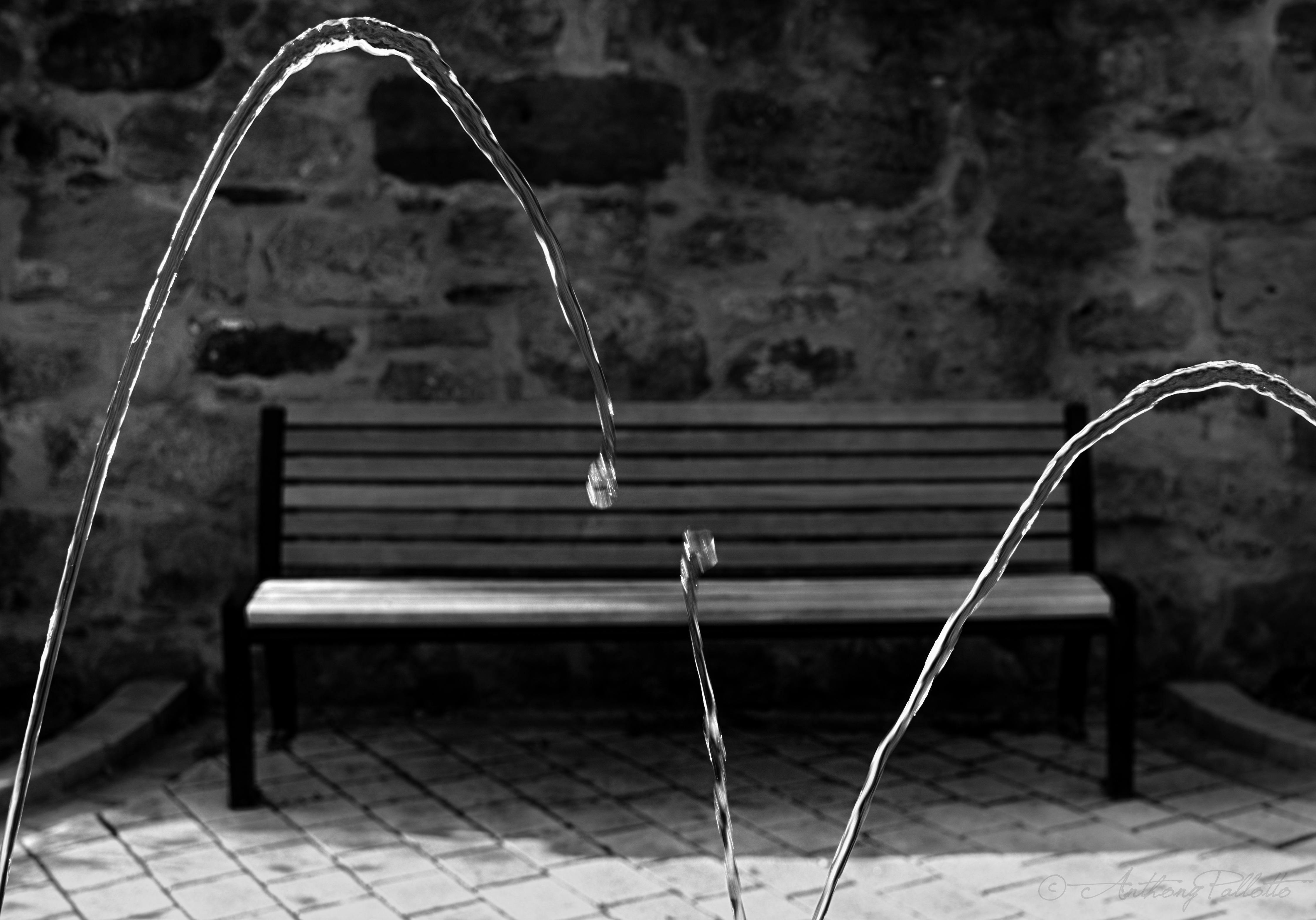
I Sat By The Ocean

Aspire, Inspire II

I Love You
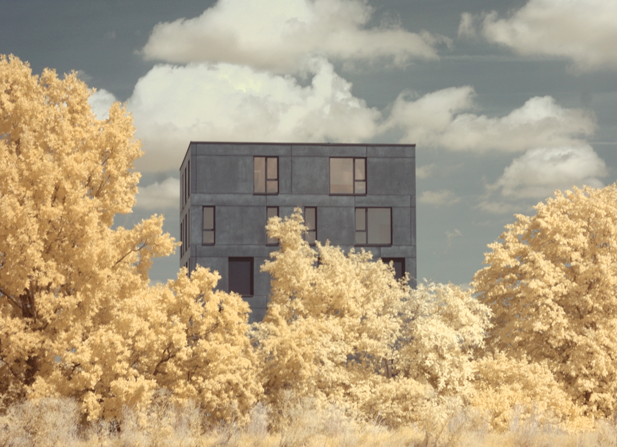
Infrared landscape and architecture (Ansbach/Bavaria)

022/365 Thank You! (Explored)

The Guitar

Battlements in enemy country
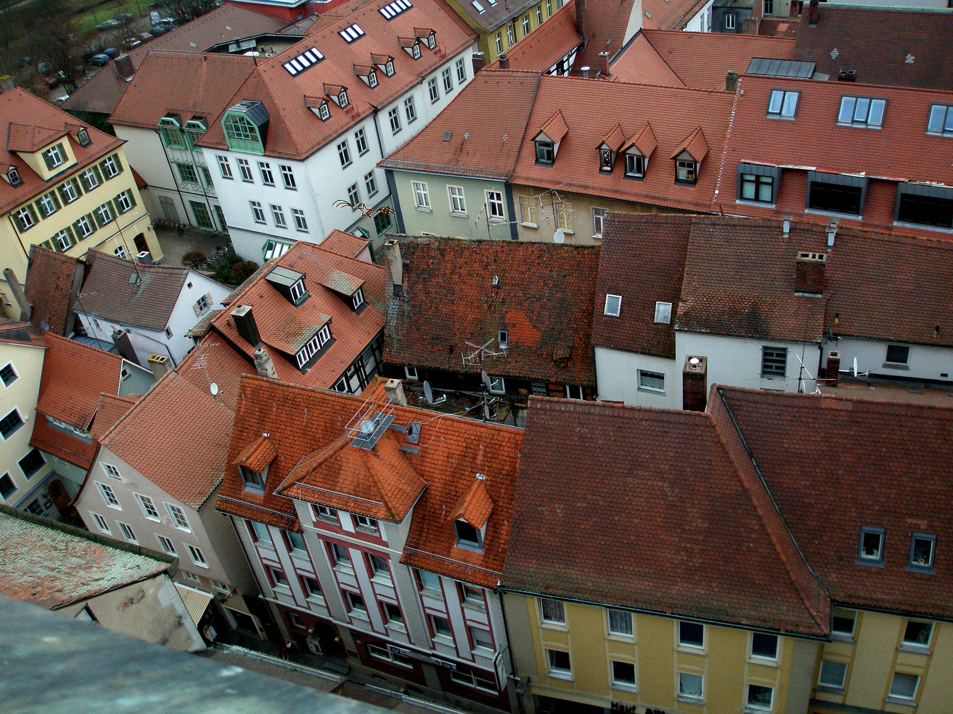
Medieval Town Center of Ansbach
Town walls

Rays Of Light

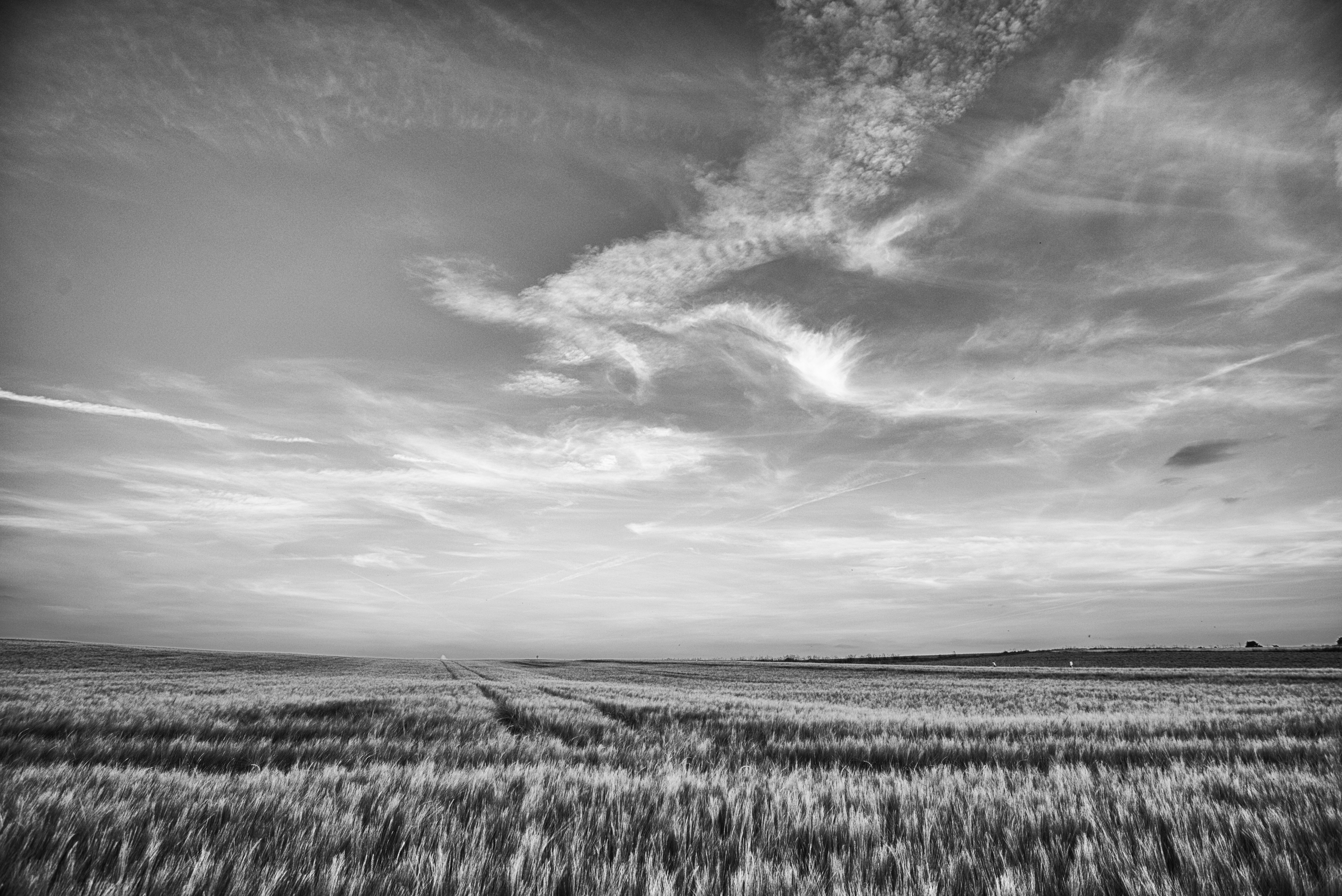
summer sky
Long Exposure
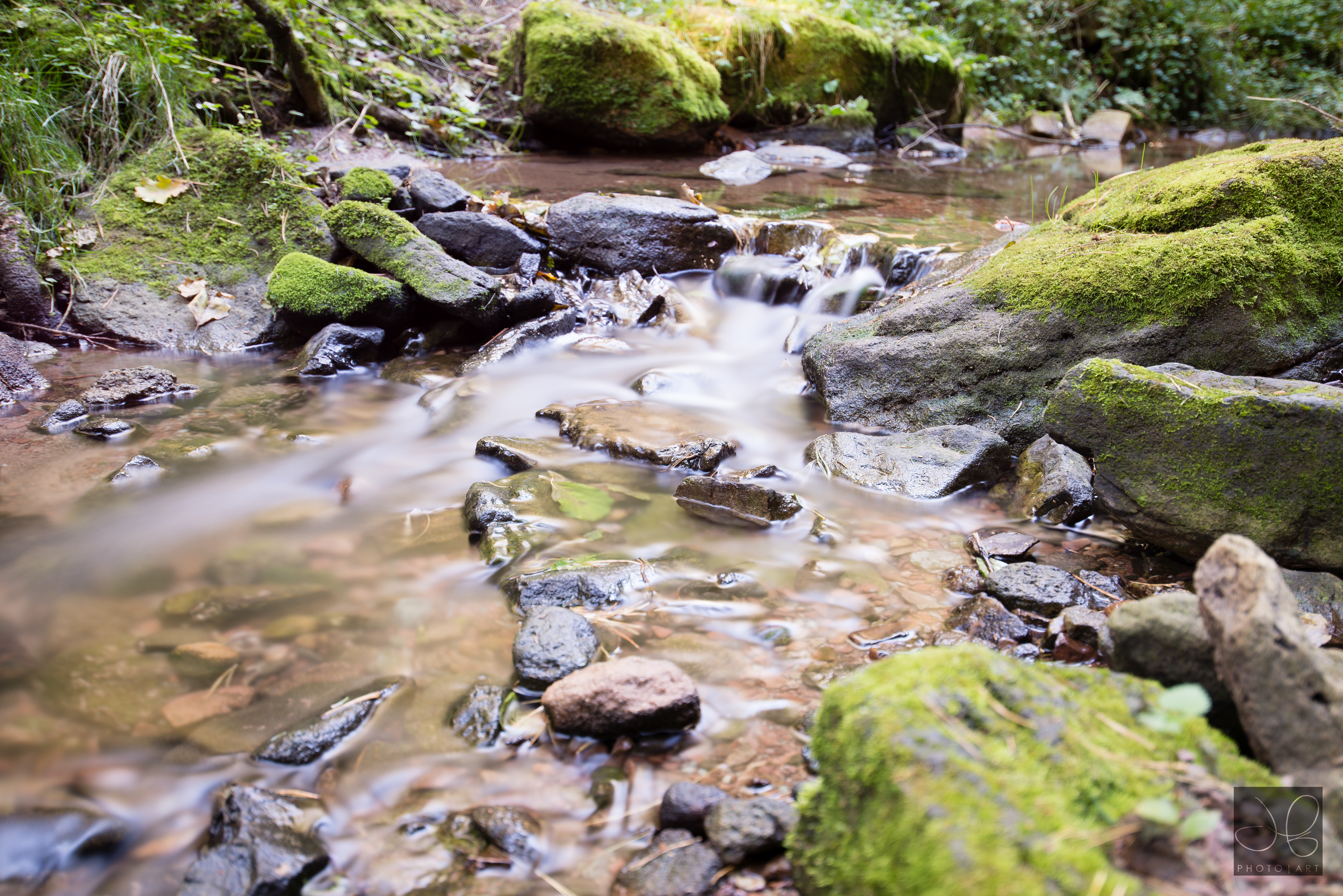
Wilhermsdorf, Bavaria

after the storm
Pretty Germany

Welcome back, Sun!
spring forest

Summer moved on
Grey Field

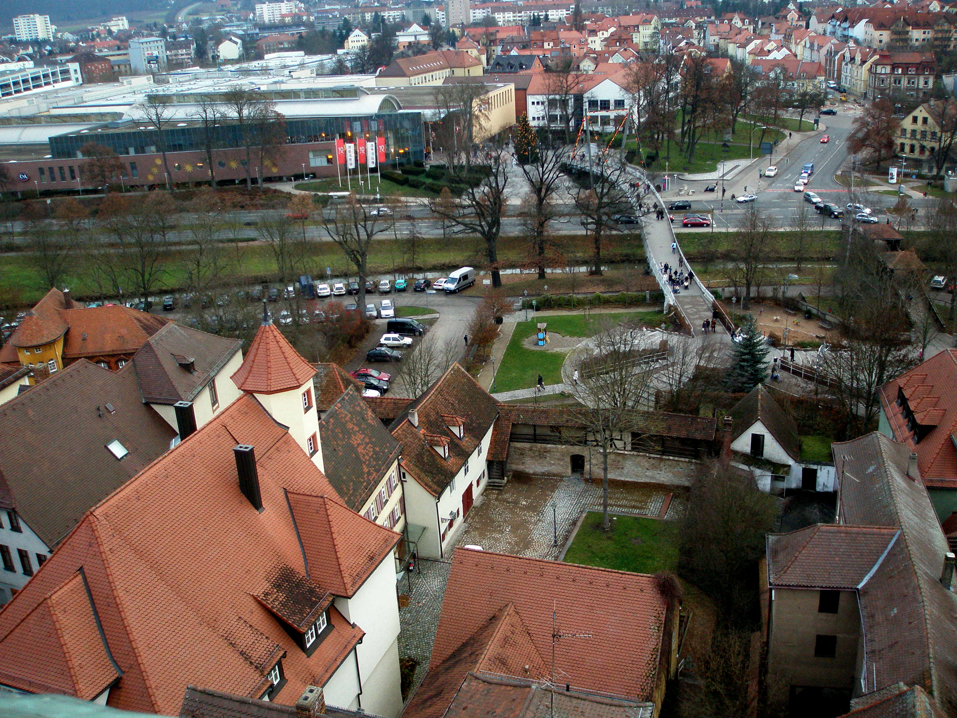
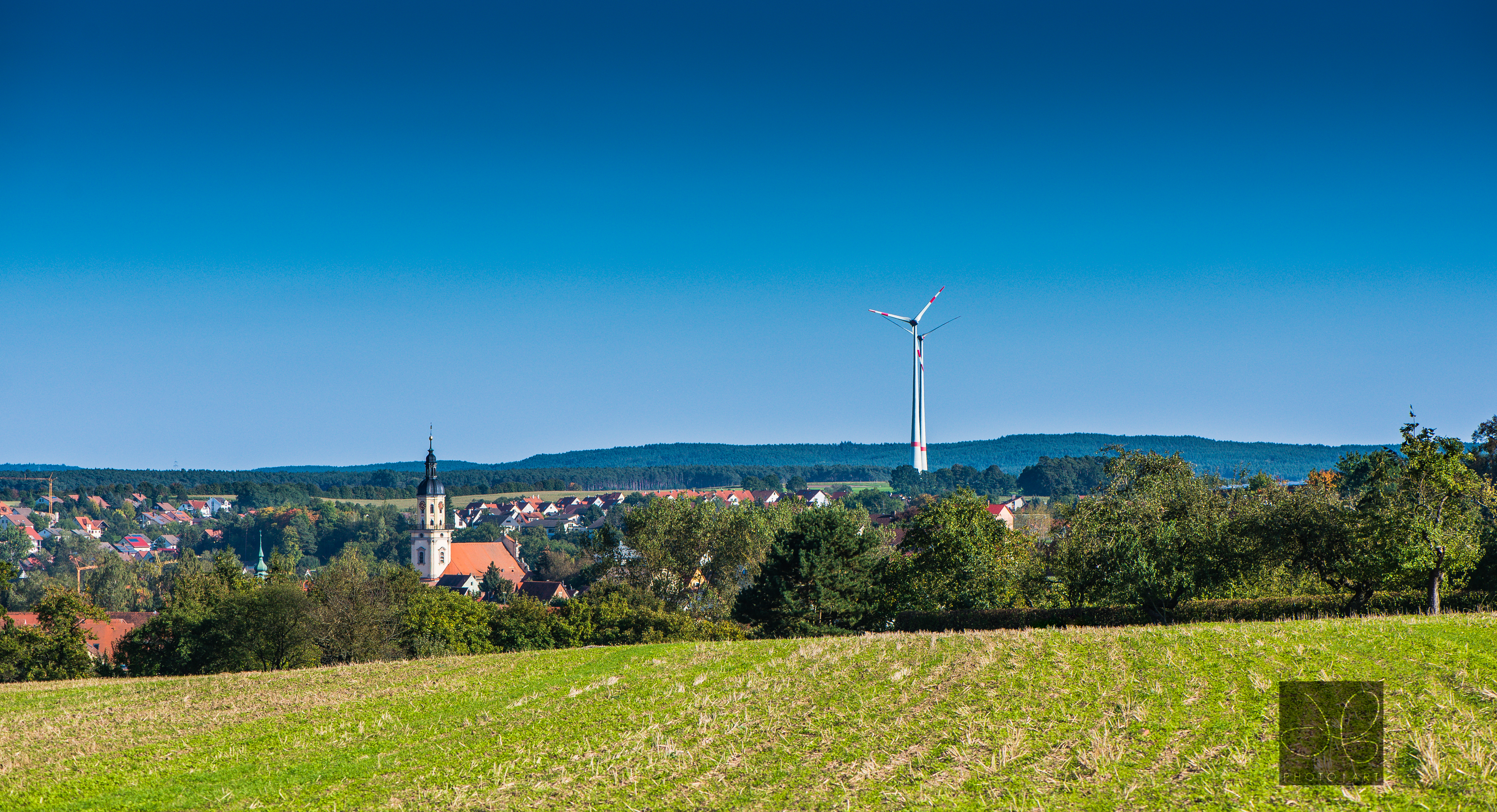
Ansbach, April2016

Another Poppy
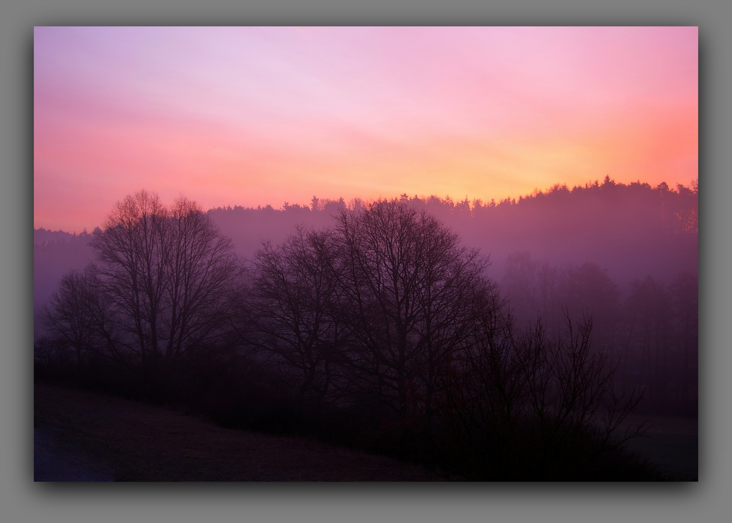
good morning
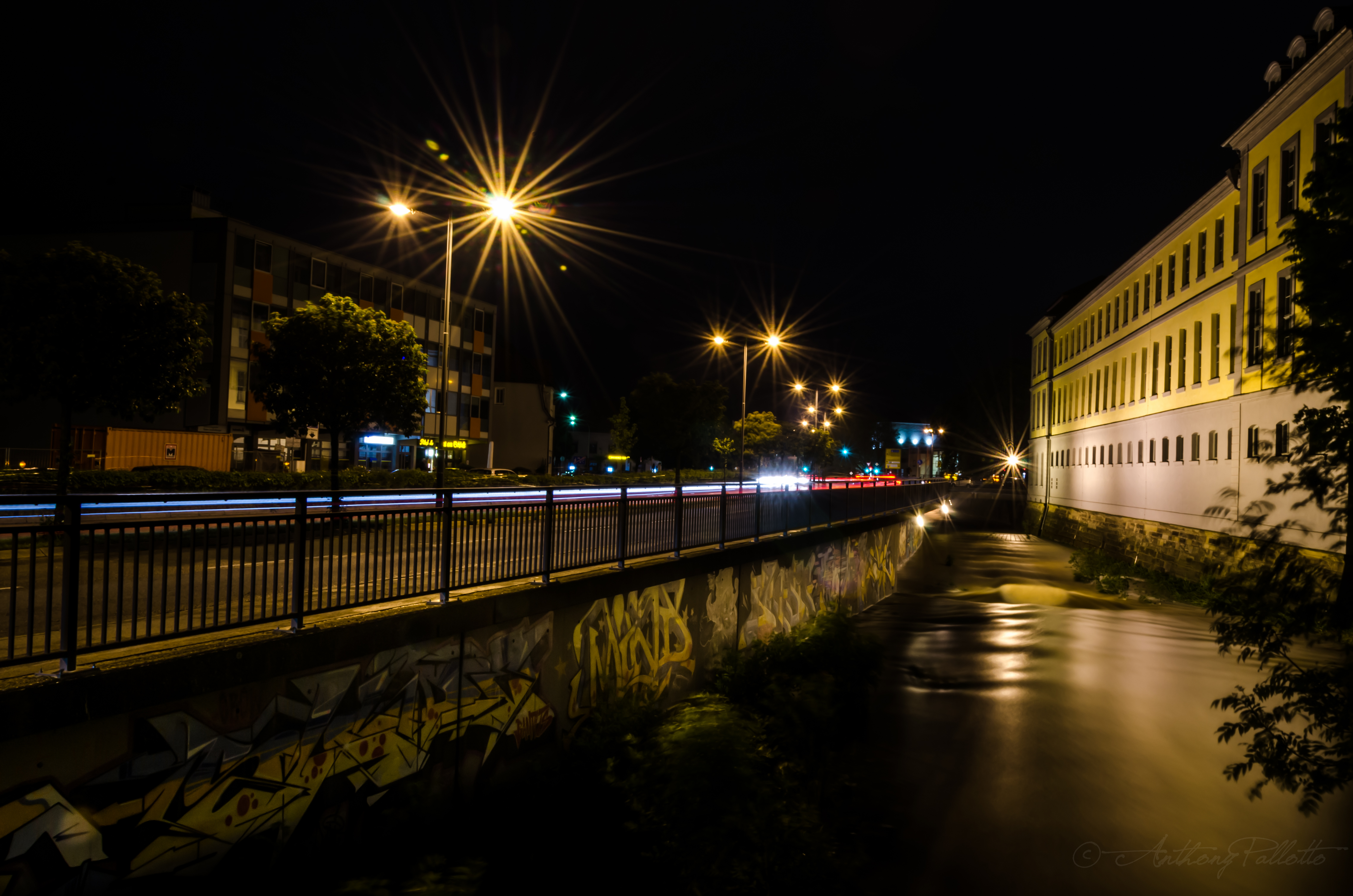
The All Night Lights II
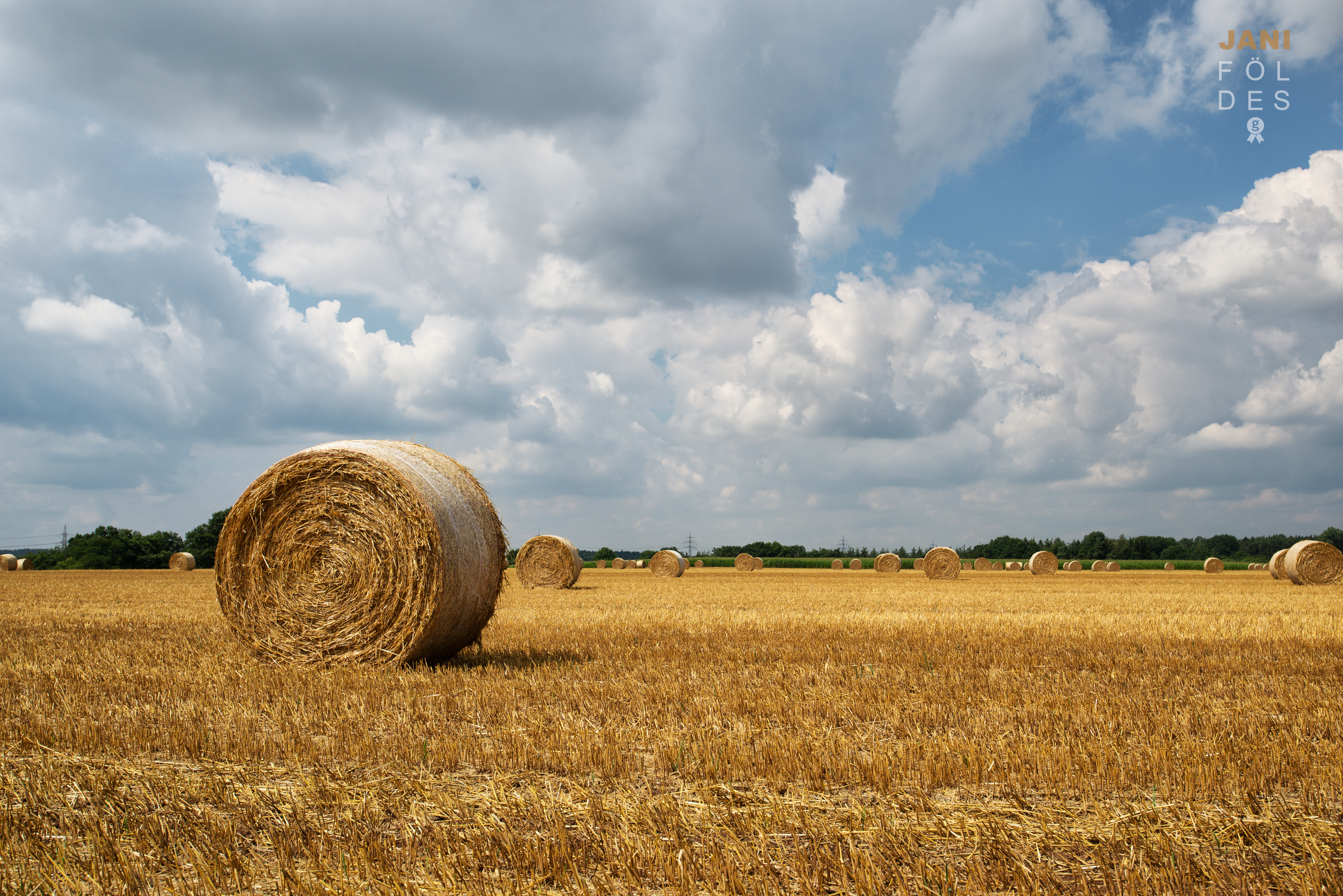
Hay Bale

Until the Sunset

This Is How I Disappear

Ähre im Sommerwind
icy one

IMG_4311.jpg
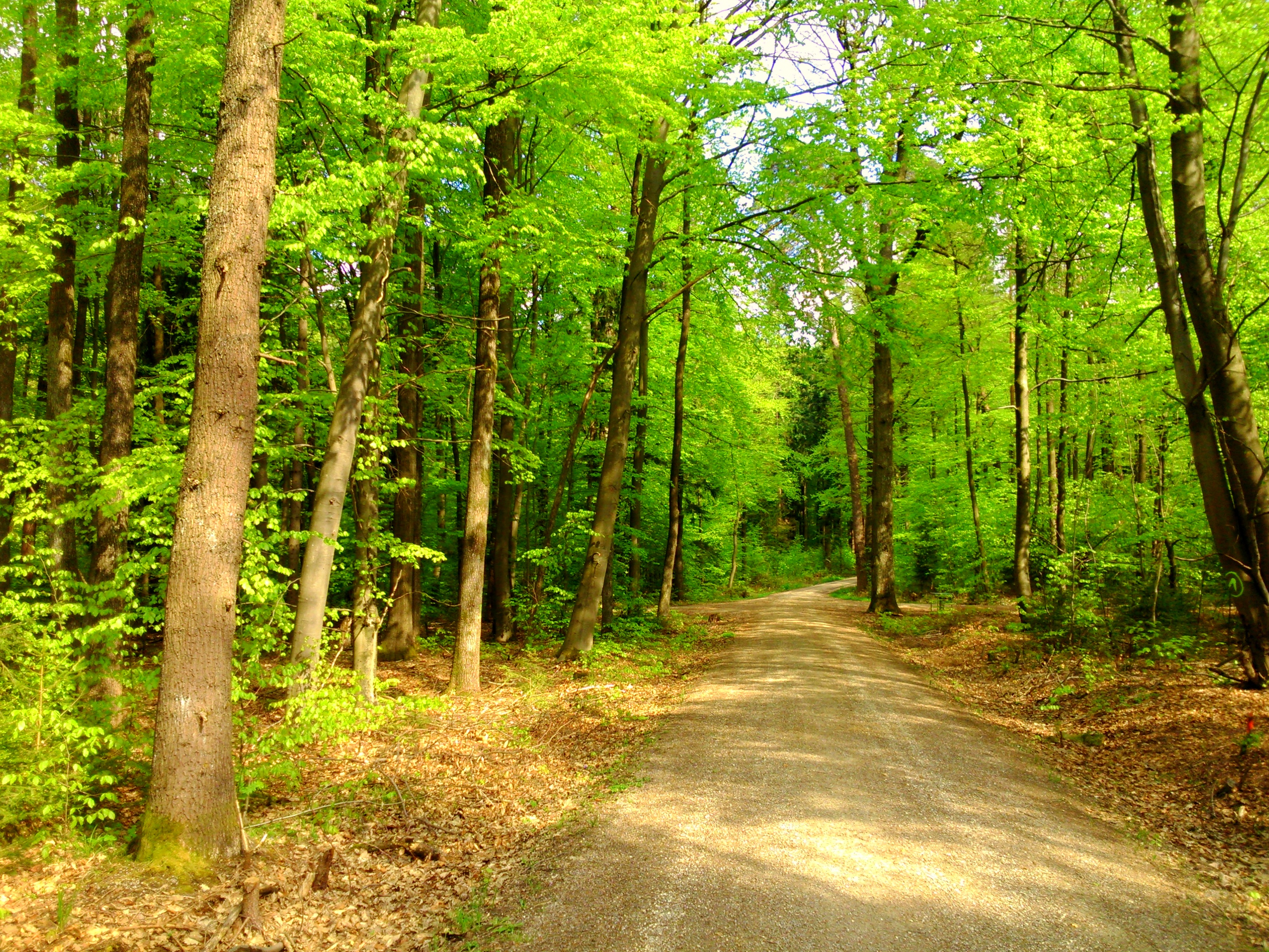
forest path in spring
Topographic Map of Middle Franconia, Germany
Find elevation by address:
Places in Middle Franconia, Germany:
Trautskirchen
Nuremberg
Ansbach
Dinkelsbühl
Roth
Wolframs-eschenbach
Herrieden
Hilpoltstein
Weißenburg-gunzenhausen
Landkreis Neustadt A.d.aisch-bad Windsheim
Leutershausen
Erlangen
Windelsbach
Haundorf
Weisendorf
Höchstadt
Weiltingen
Pappenheim
Roth
Heroldsberg
Heideck
Heßdorf
Weissenburg In Bayern
Adelsdorf
Wilburgstetten
Nürnberger Land
Kirchensittenbach
Altdorf Bei Nürnberg
Roßtal
Markt Taschendorf
Heilsbronn
Wörnitz
Wilhelmsdorf
Burgthann
Gutenstetten
Schwaig
Neunkirchen Am Sand
Dentlein
Ohrenbach
Unterschwaningen
Thalmässing
Schwabach
Hartenstein
Gerolfingen
Ergersheim
Ellingen
Adelshofen
Münchsteinach
Gebsattel
Bechhofen
Nennslingen
Burk
Treuchtlingen
Fürth
Windsbach
Lichtenau
Bergen
Wilhermsdorf
Schnaittach
Georgensgmünd
Sugenheim
Stein
Leinburg
Wieseth
Langfurth
Feuchtwangen
Bad Windsheim
Oberscheinfeld
Gollhofen
Lehrberg
Sachsen Bei Ansbach
Scheinfeld
Ipsheim
Fürth
Colmberg
Gunzenhausen
Markt Nordheim
Weihenzell
Wassertrüdingen
Pommelsbrunn
Uffenheim
Rohr
Lauf An Der Pegnitz
Rügland
Velden
Petersaurach
Kammerstein
Erlangen-höchstadt
Offenhausen
Oberdachstetten
Places near Middle Franconia, Germany:
Thierbach 1, Weihenzell, Germany
Weihenzell
71/2
Neukirchen
Lichtenauer Str. 5, Petersaurach, Germany
Sachsen Bei Ansbach
Kehlmünz 4, Dietenhofen, Germany
Lichtenau
Ansbach
Zur Schanz 38, Ansbach, Germany
Neuses B.ansbach
Petersaurach
Heilsbronn
Rös
Rös 5, Herrieden, Germany
Kirschendorf
Kirschendorf 12, Lichtenau, Germany
Reutern
Reutern 10, Wolframs-Eschenbach, Germany
Wolframs-eschenbach
Recent Searches:
- Elevation of Burnt Store Village, Charlotte County, Florida, 33955, USA
- Elevation of 26552, Angelica Road, Punta Gorda, Charlotte County, Florida, 33955, USA
- Elevation of 104, Chancery Road, Middletown Township, Bucks County, Pennsylvania, 19047, USA
- Elevation of 1212, Cypress Lane, Dayton, Liberty County, Texas, 77535, USA
- Elevation map of Central Hungary, Hungary
- Elevation map of Pest, Central Hungary, Hungary
- Elevation of Pilisszentkereszt, Pest, Central Hungary, Hungary
- Elevation of Dharamkot Tahsil, Punjab, India
- Elevation of Bhinder Khurd, Dharamkot Tahsil, Punjab, India
- Elevation of 2881, Chabot Drive, San Bruno, San Mateo County, California, 94066, USA
- Elevation of 10370, West 107th Circle, Westminster, Jefferson County, Colorado, 80021, USA
- Elevation of 611, Roman Road, Old Ford, Bow, London, England, E3 2RW, United Kingdom
- Elevation of 116, Beartown Road, Underhill, Chittenden County, Vermont, 05489, USA
- Elevation of Window Rock, Colfax County, New Mexico, 87714, USA
- Elevation of 4807, Rosecroft Street, Kempsville Gardens, Virginia Beach, Virginia, 23464, USA
- Elevation map of Matawinie, Quebec, Canada
- Elevation of Sainte-Émélie-de-l'Énergie, Matawinie, Quebec, Canada
- Elevation of Rue du Pont, Sainte-Émélie-de-l'Énergie, Matawinie, Quebec, J0K2K0, Canada
- Elevation of 8, Rue de Bécancour, Blainville, Thérèse-De Blainville, Quebec, J7B1N2, Canada
- Elevation of Wilmot Court North, 163, University Avenue West, Northdale, Waterloo, Region of Waterloo, Ontario, N2L6B6, Canada