Elevation of Wieseth, Germany
Location: Austria > Bavaria > Middle Franconia >
Longitude: 10.4838311
Latitude: 49.163073
Elevation: 441m / 1447feet
Barometric Pressure: 96KPa
Elevation Map:
Satellite Map:
Related Photos:
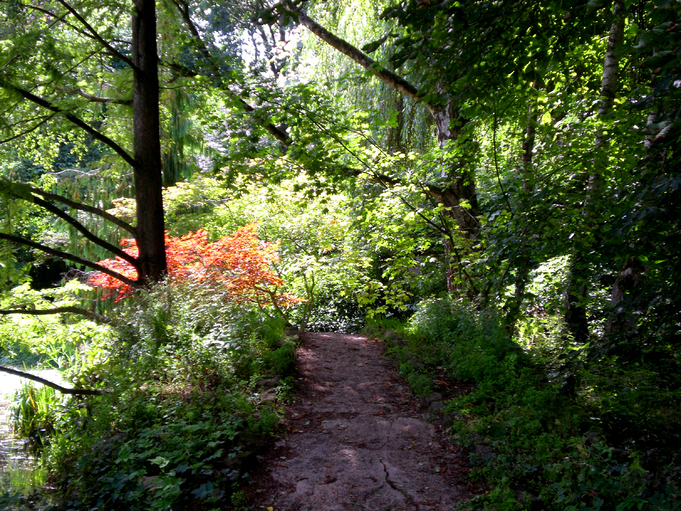
Walkable jungle
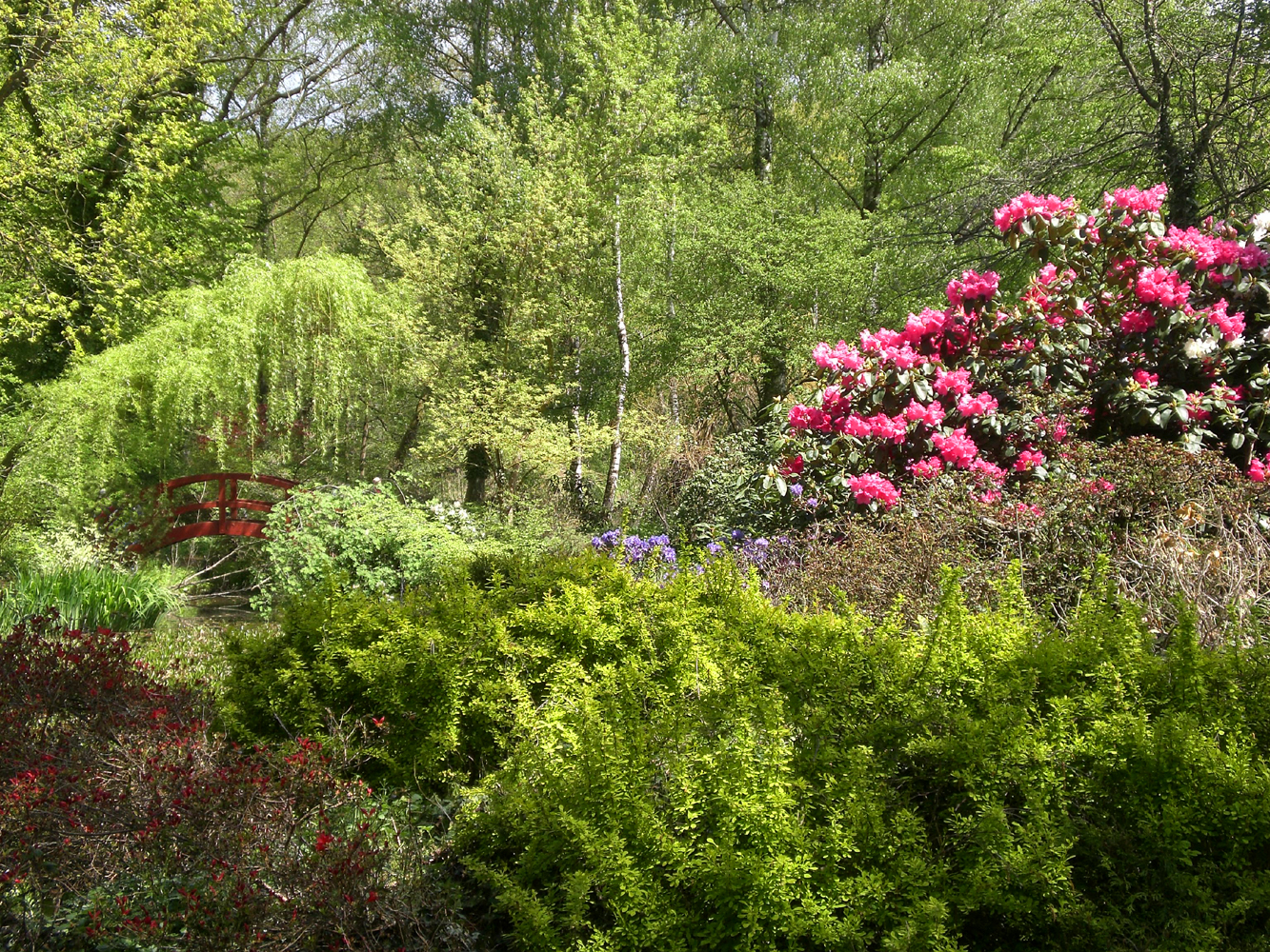
Flower power
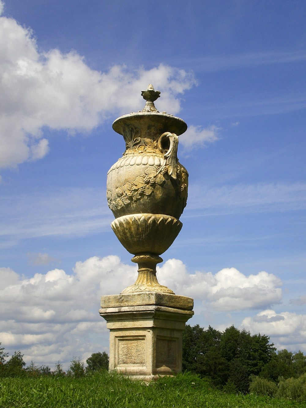
Jar of clouds
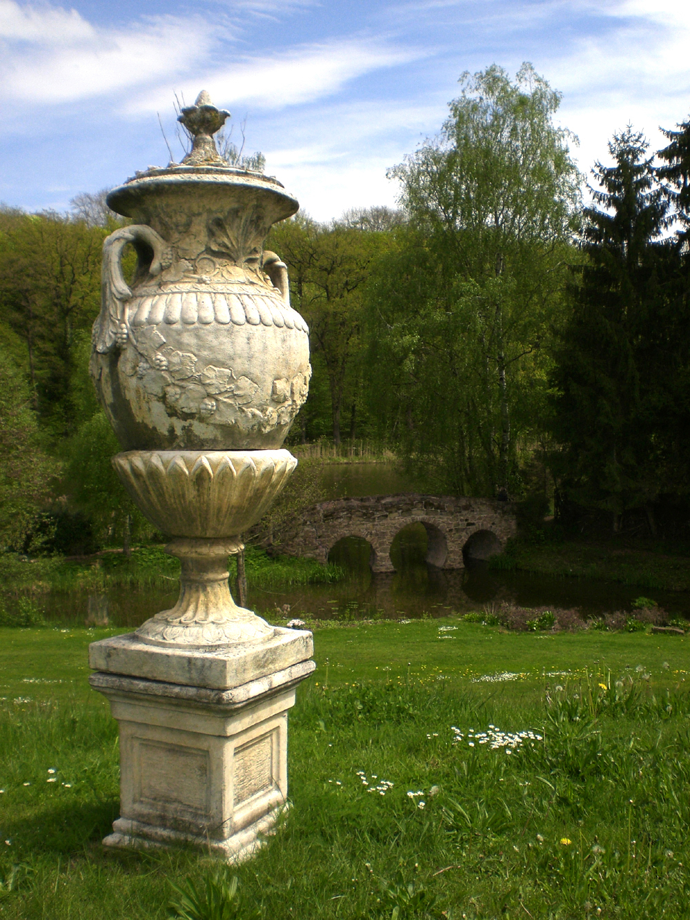
Three arches

Order and disorder
Well arranged wilderness

Floral get-together

Fenster / Window / Fenêtre

Tür / Door / Porte
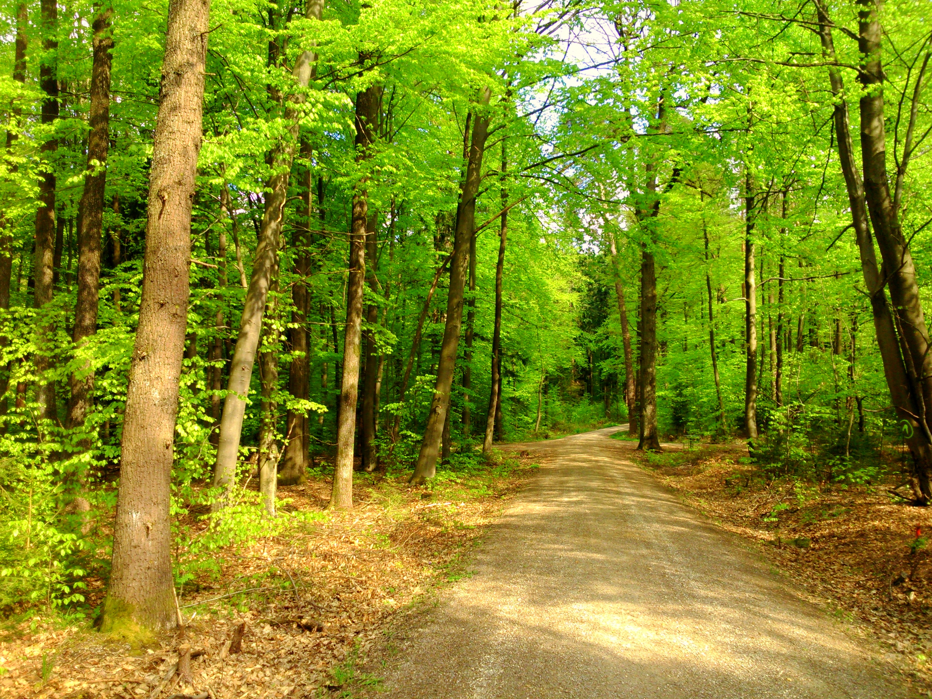
spring forest
Reif für die Insel

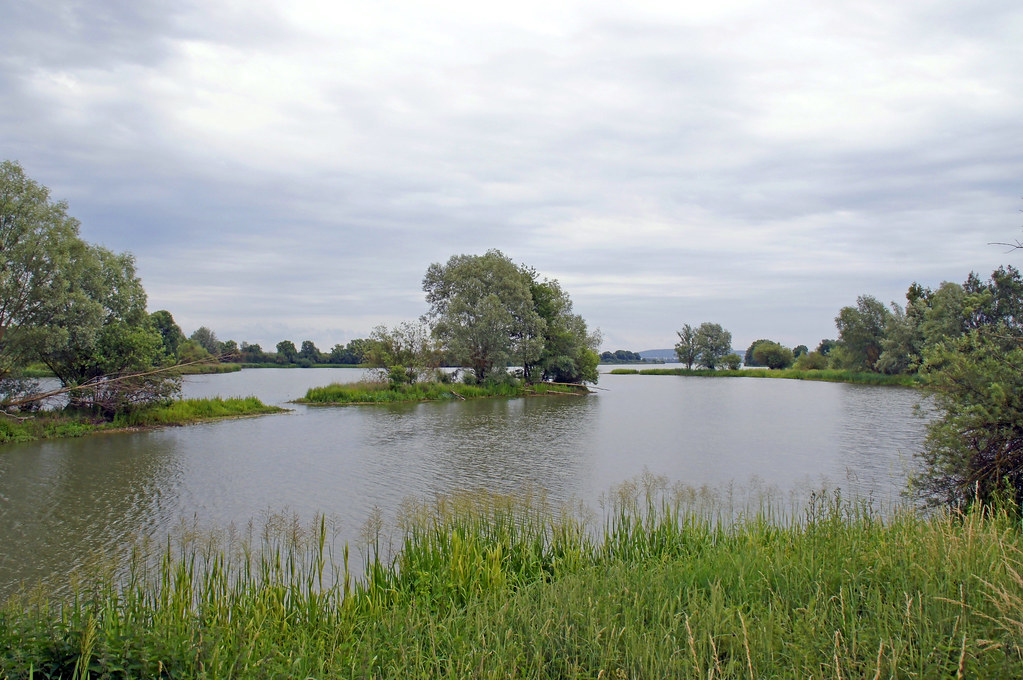
summer landscape
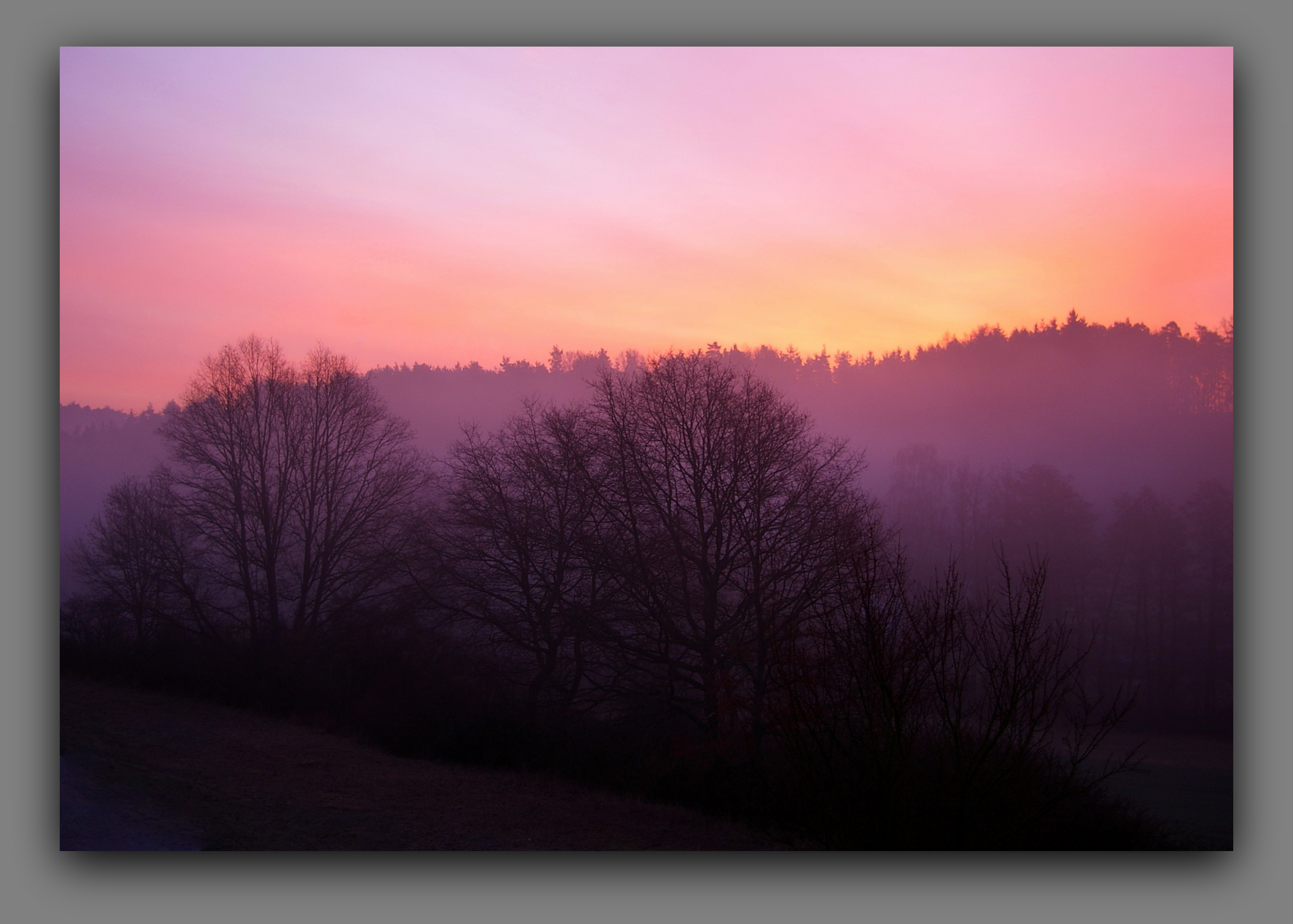
good morning

summer sky
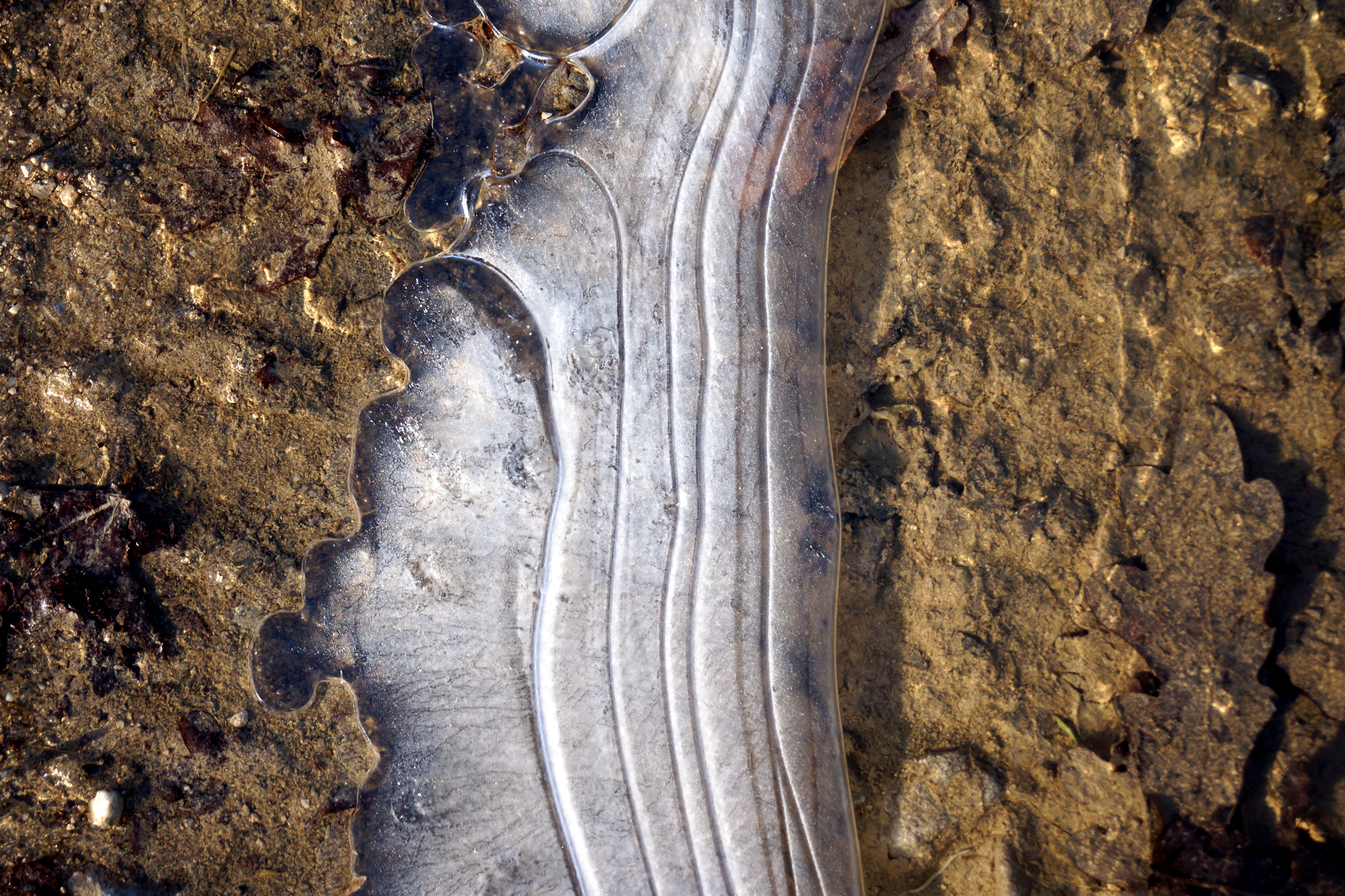
icy one
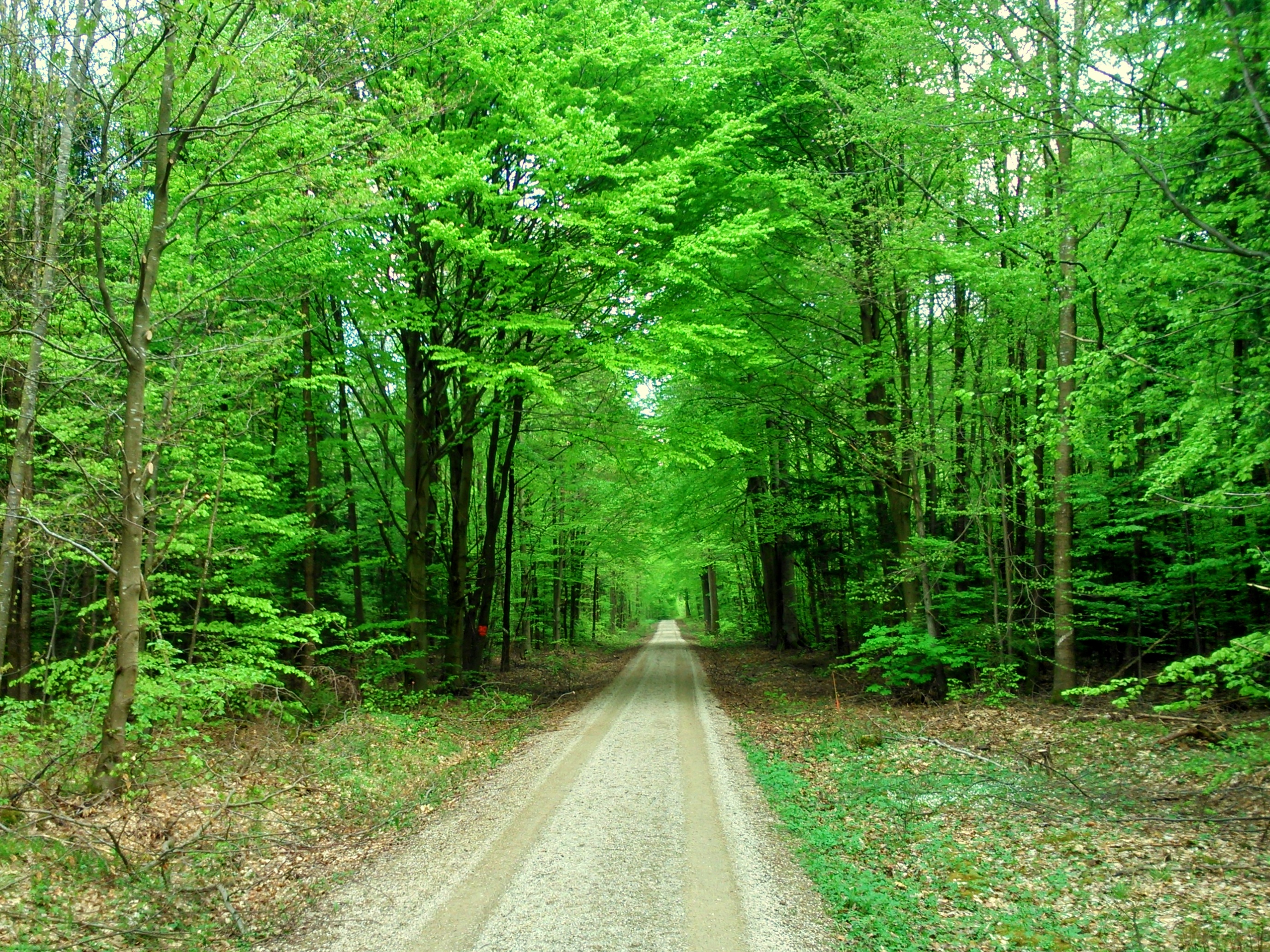
forest path in spring

after the storm

shadow and light
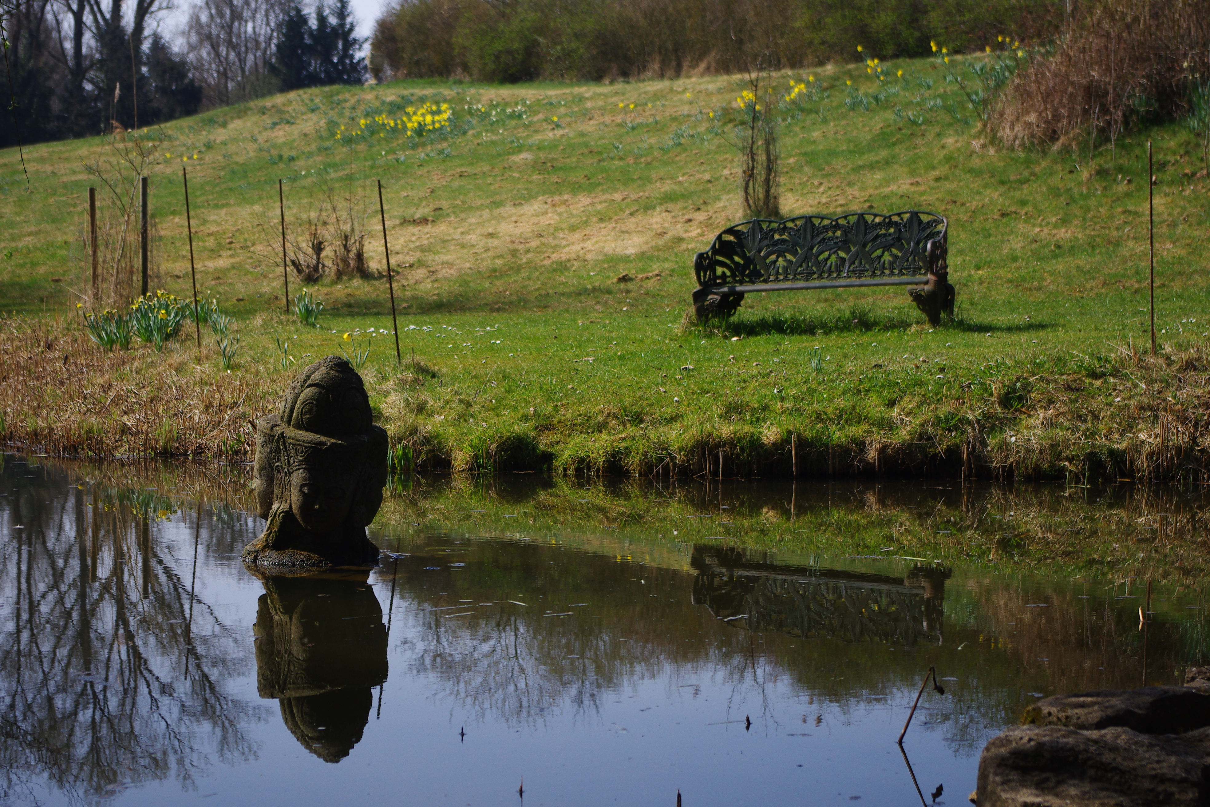
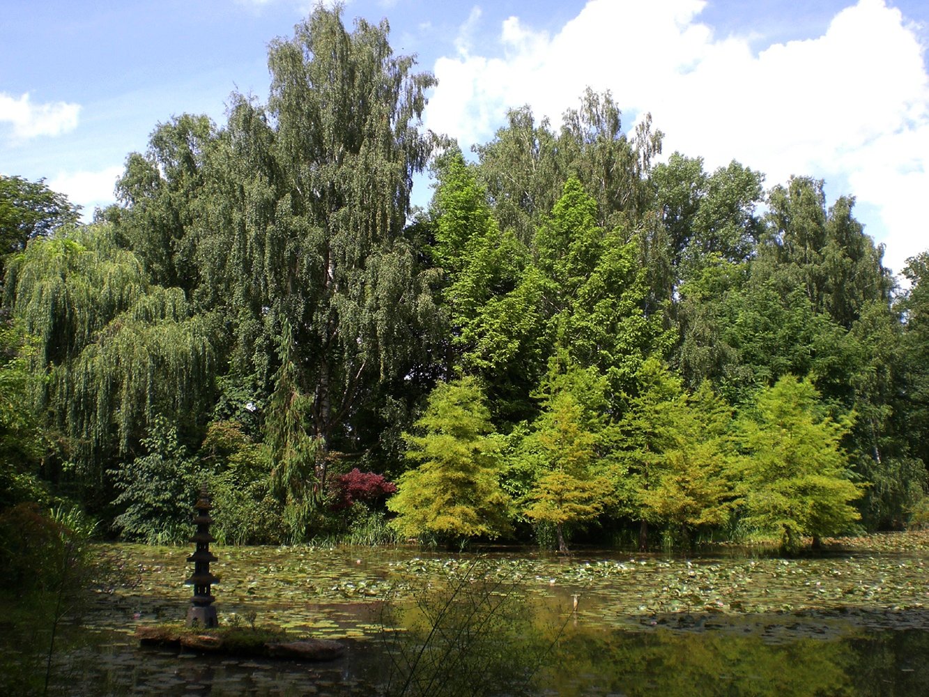
Schlosspark Dennenlohe 9

Radeln im Altmühltal
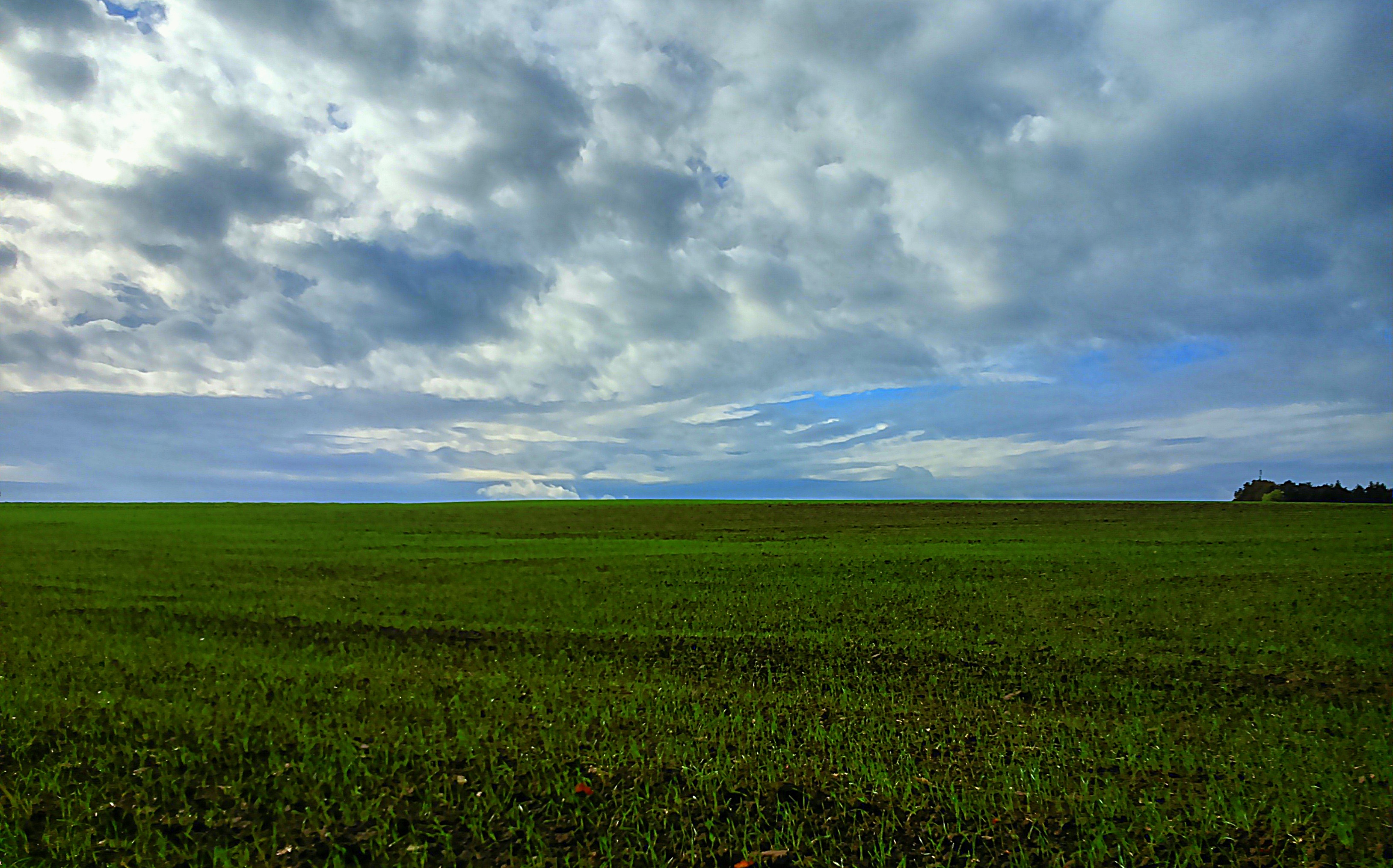
autumn field
Yellow spring
blue sky
pine bark
a whiff of spring
Topographic Map of Wieseth, Germany
Find elevation by address:

Places in Wieseth, Germany:
Places near Wieseth, Germany:
Forndorf
Forndorf 6, Wieseth, Germany
Burk
Pfarrer-Braun-Straße 4, Burk, Germany
Limbach 5, Herrieden, Germany
Limbach
Ansbach
Fetschendorf 2, Dentlein am Forst, Germany
Fetschendorf
Dentlein
Langfurth
Dorfkemmathen
Unteres Dorf 14, Langfurth, Germany
Ehingen
Charhof 2, Feuchtwangen, Germany
Gerolfingen
Ruffenhofen 14, Weiltingen, Germany
Ruffenhofen
Wörnitzhofen 1, Weiltingen, Germany
Wörnitzhofen
Recent Searches:
- Elevation of Corso Fratelli Cairoli, 35, Macerata MC, Italy
- Elevation of Tallevast Rd, Sarasota, FL, USA
- Elevation of 4th St E, Sonoma, CA, USA
- Elevation of Black Hollow Rd, Pennsdale, PA, USA
- Elevation of Oakland Ave, Williamsport, PA, USA
- Elevation of Pedrógão Grande, Portugal
- Elevation of Klee Dr, Martinsburg, WV, USA
- Elevation of Via Roma, Pieranica CR, Italy
- Elevation of Tavkvetili Mountain, Georgia
- Elevation of Hartfords Bluff Cir, Mt Pleasant, SC, USA