Elevation of Rügland, Germany
Location: Austria > Bavaria > Middle Franconia >
Longitude: 10.5944075
Latitude: 49.4010263
Elevation: 385m / 1263feet
Barometric Pressure: 97KPa
Elevation Map:
Satellite Map:
Related Photos:

I Sat By The Ocean

Infrared landscape and architecture (Ansbach/Bavaria)

Aspire, Inspire II

I Love You

022/365 Thank You! (Explored)

The Guitar

Battlements in enemy country
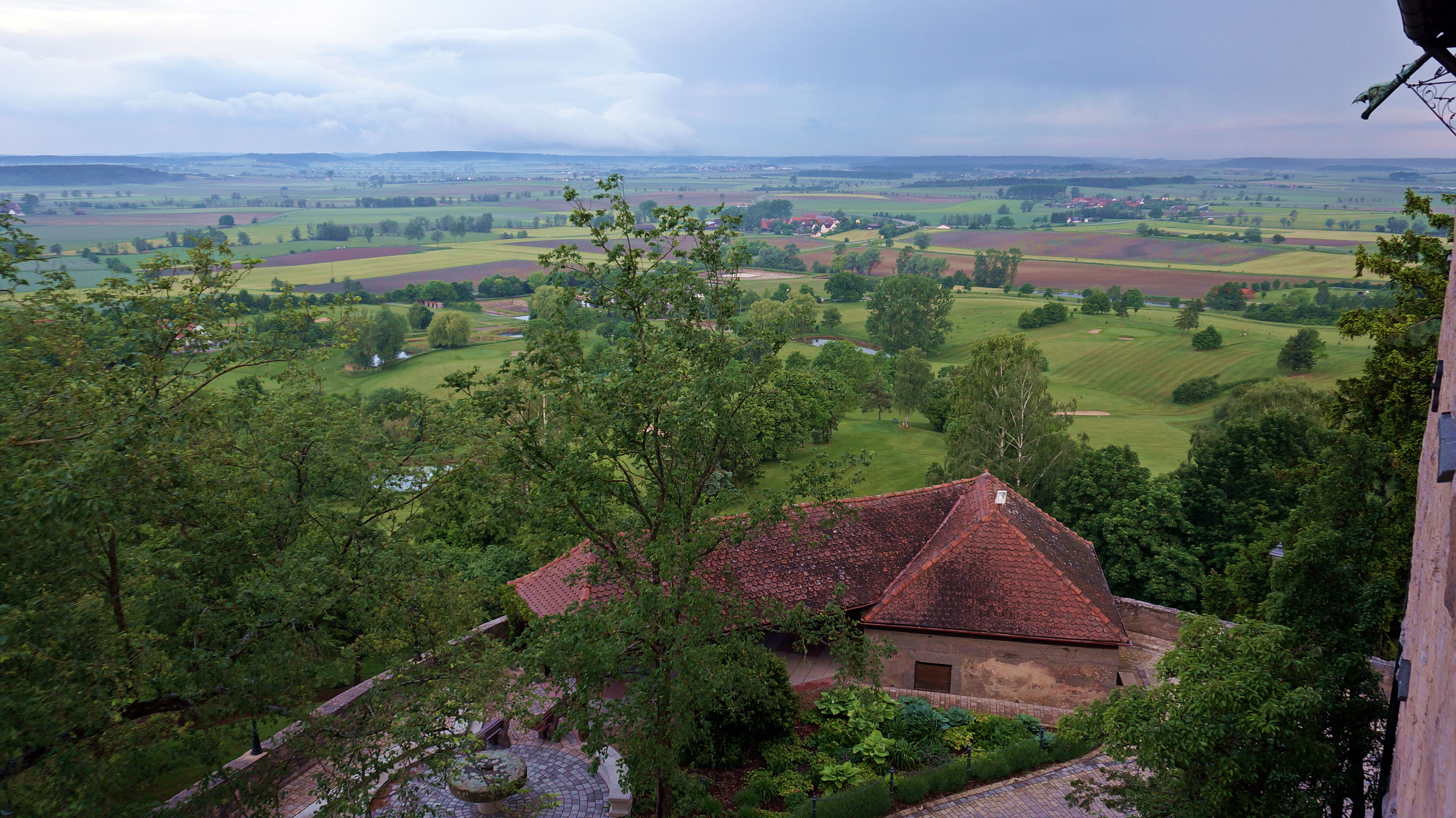
View from Colmberg Castle
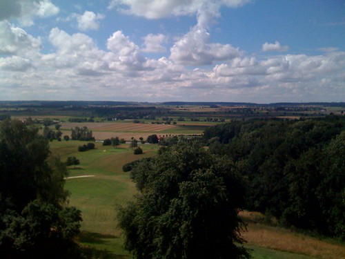
View from Colmberg Castle
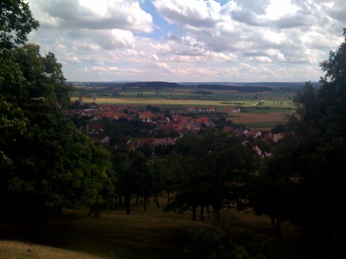
View of Colmberg from castle
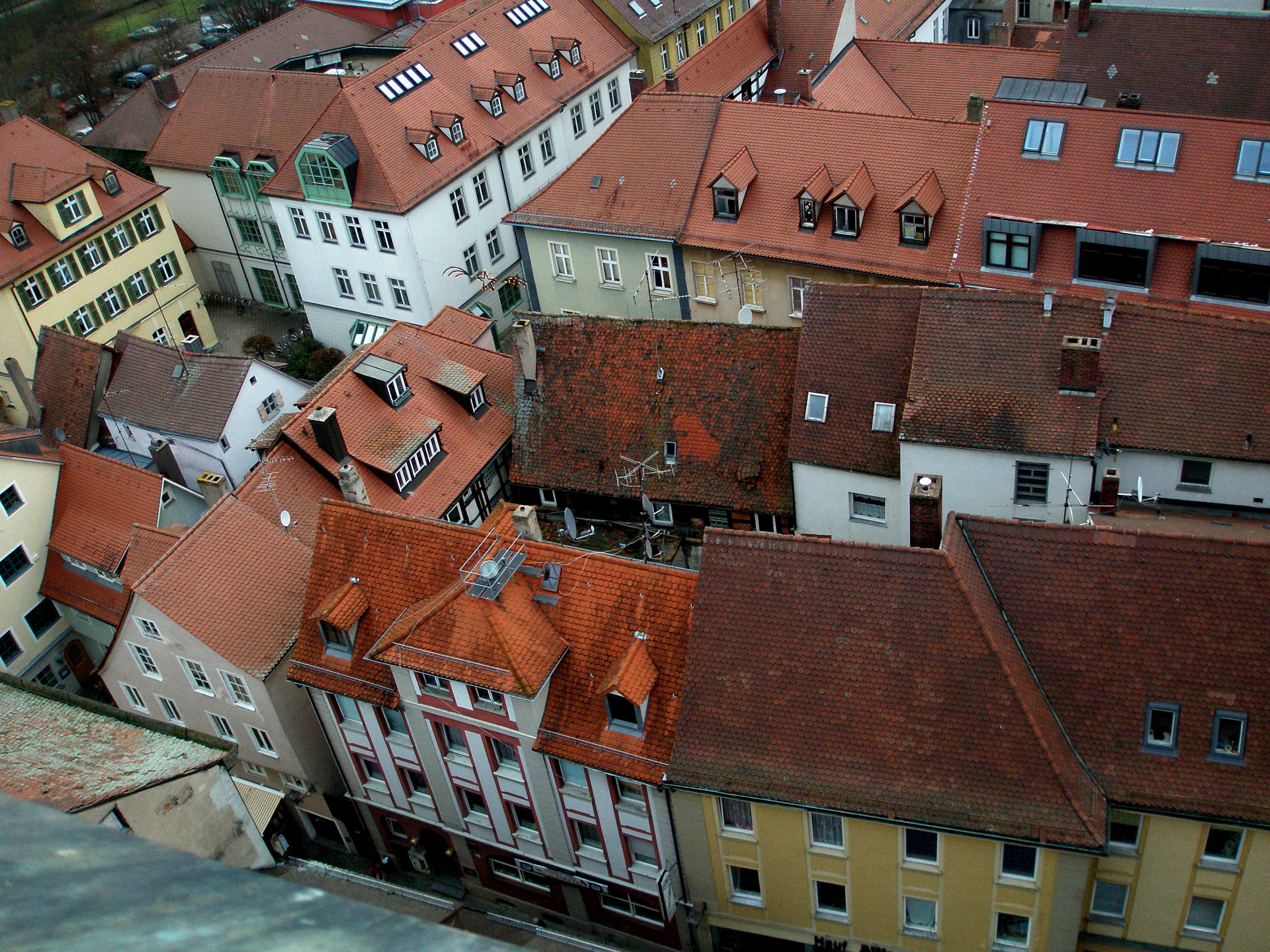
Medieval Town Center of Ansbach
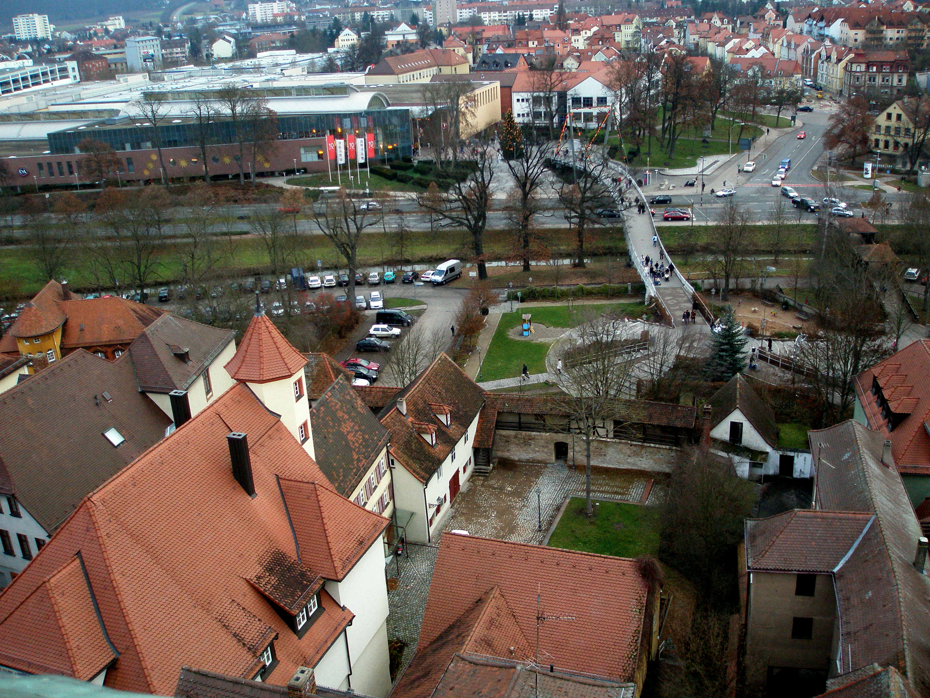
Town walls
point of view
Pretty Germany

Welcome back, Sun!

Rays Of Light
spring forest

Summer moved on
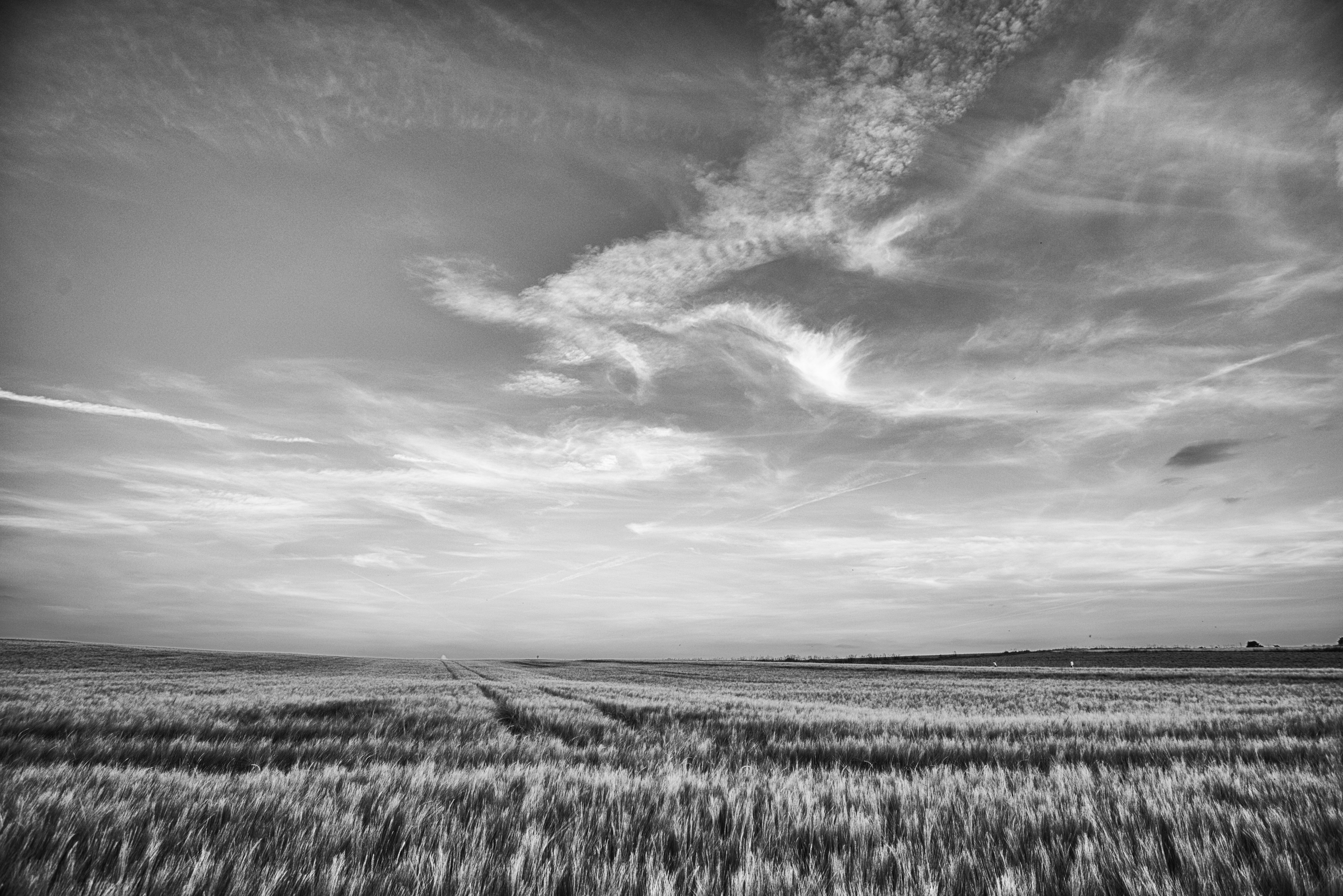
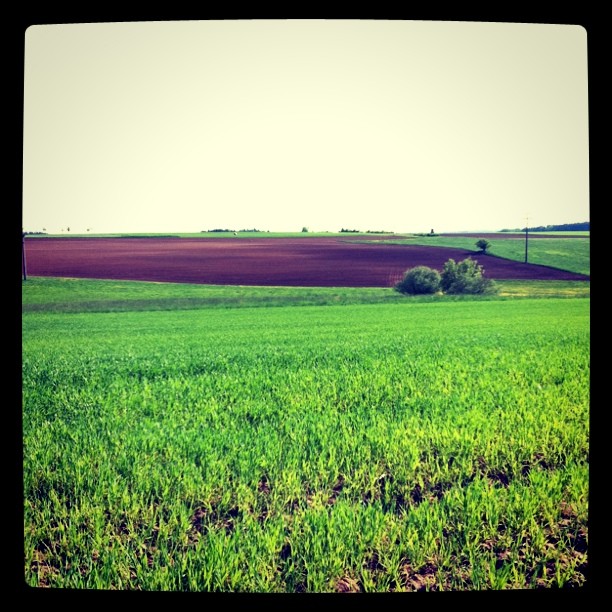
Grey Field

Ansbach, April2016

Another Poppy

good morning

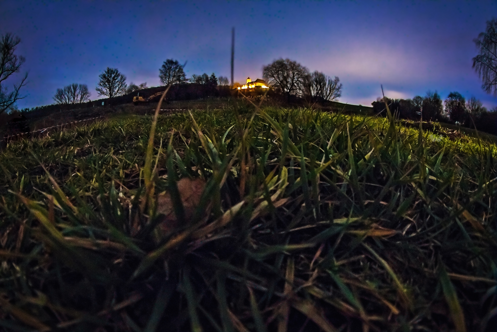
The All Night Lights II

summer sky

Hay Bale

Until the Sunset

This Is How I Disappear

Ähre im Sommerwind
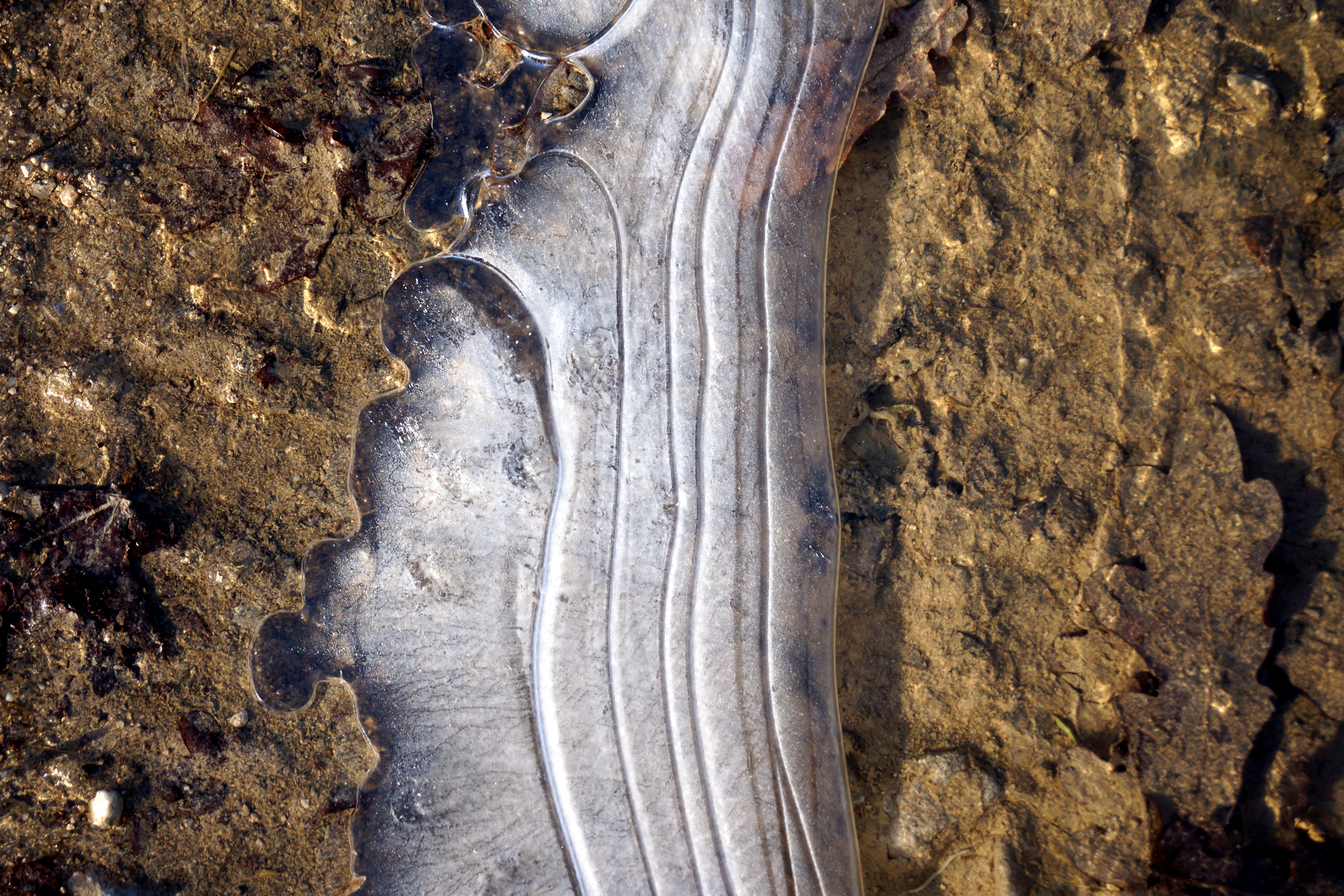
icy one

IMG_4311.jpg

Follow The Way

Long Exposure
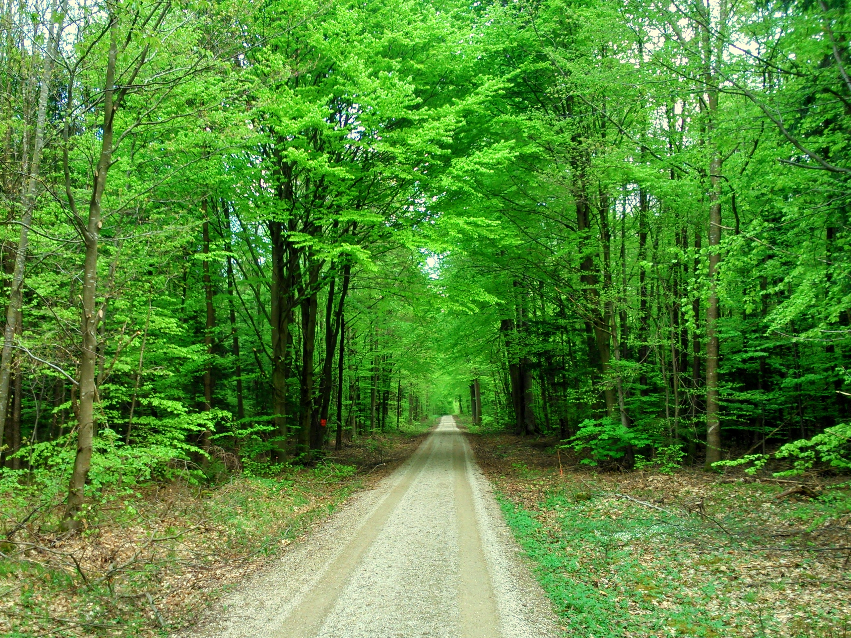
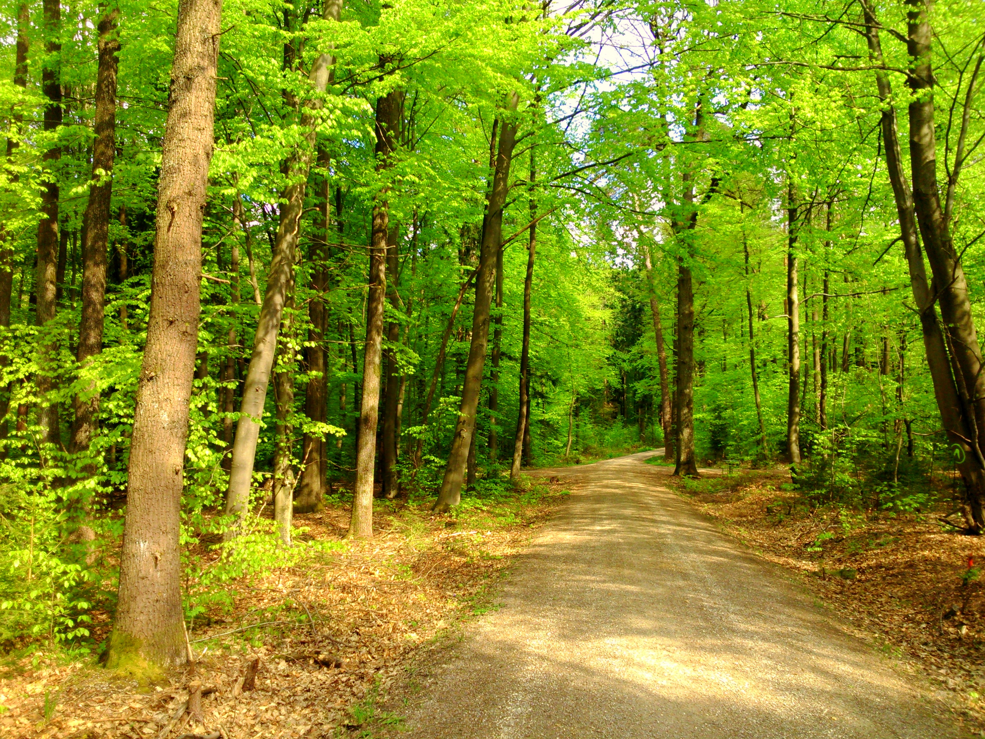
forest path in spring
Topographic Map of Rügland, Germany
Find elevation by address:

Places near Rügland, Germany:
Daubersbach 5, Rügland, Germany
Trautskirchen
Dietenhofen
Markt Erlbach
Waagstraße 3, Markt Erlbach, Germany
Eschenbach
Oberulsenbach 7, Markt Erlbach, Germany
Kreben
Kreben 7, Wilhermsdorf, Germany
Wilhermsdorf
Holzmühle 1, Markt Erlbach, Germany
Altschauerberg
Emskirchen
1a
Hugenottenpl. 7, Wilhelmsdorf, Germany
Wilhelmsdorf
Hardhof 1, Langenzenn, Germany
Langenzenn
Fürth
Roßtal
Recent Searches:
- Elevation of Corso Fratelli Cairoli, 35, Macerata MC, Italy
- Elevation of Tallevast Rd, Sarasota, FL, USA
- Elevation of 4th St E, Sonoma, CA, USA
- Elevation of Black Hollow Rd, Pennsdale, PA, USA
- Elevation of Oakland Ave, Williamsport, PA, USA
- Elevation of Pedrógão Grande, Portugal
- Elevation of Klee Dr, Martinsburg, WV, USA
- Elevation of Via Roma, Pieranica CR, Italy
- Elevation of Tavkvetili Mountain, Georgia
- Elevation of Hartfords Bluff Cir, Mt Pleasant, SC, USA