Elevation of Michigan Bluff Rd, Foresthill, CA, USA
Location: United States > California > Placer County > Foresthill >
Longitude: -120.76353
Latitude: 39.053085
Elevation: 1111m / 3645feet
Barometric Pressure: 89KPa
Elevation Map:
Satellite Map:
Related Photos:
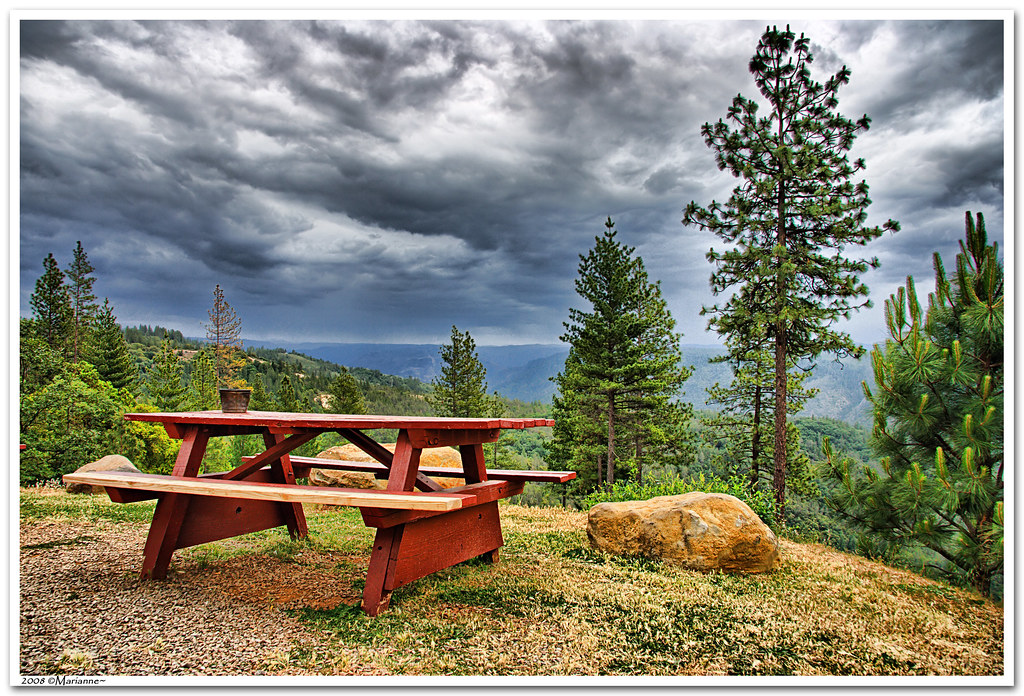
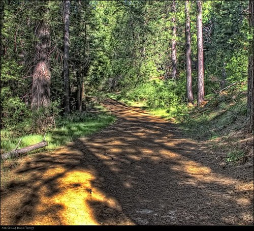
Before the Rain
StarTrails-9799

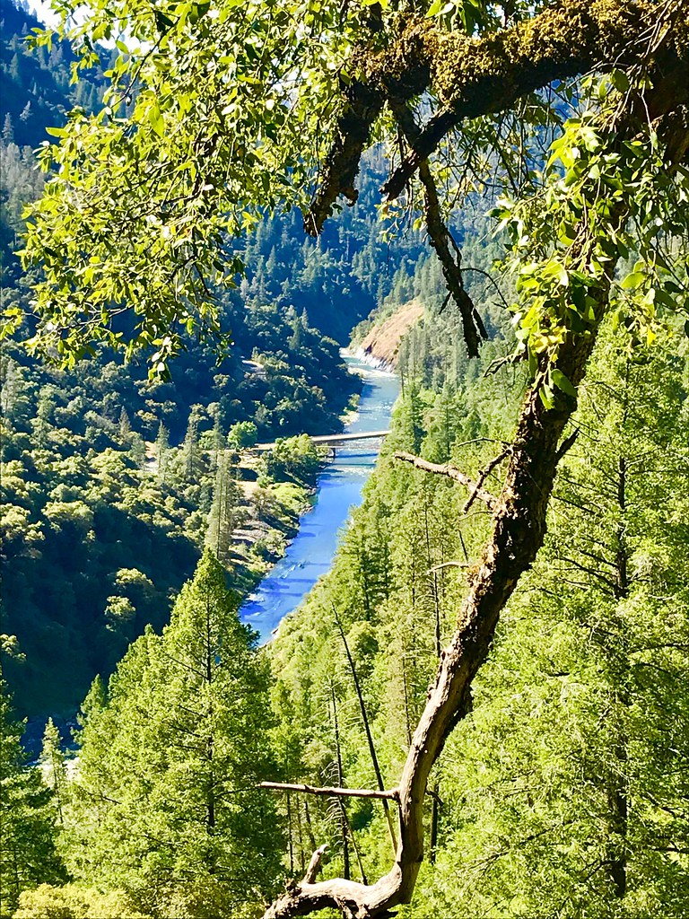
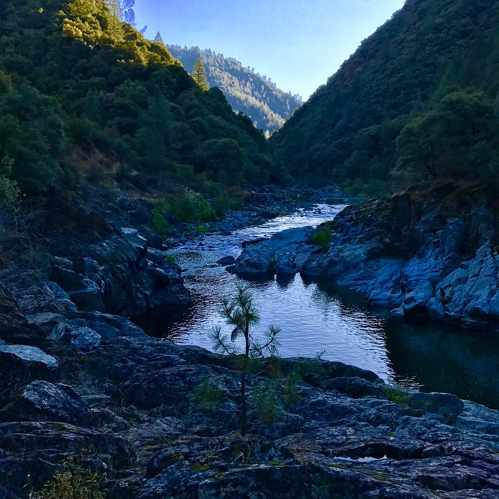
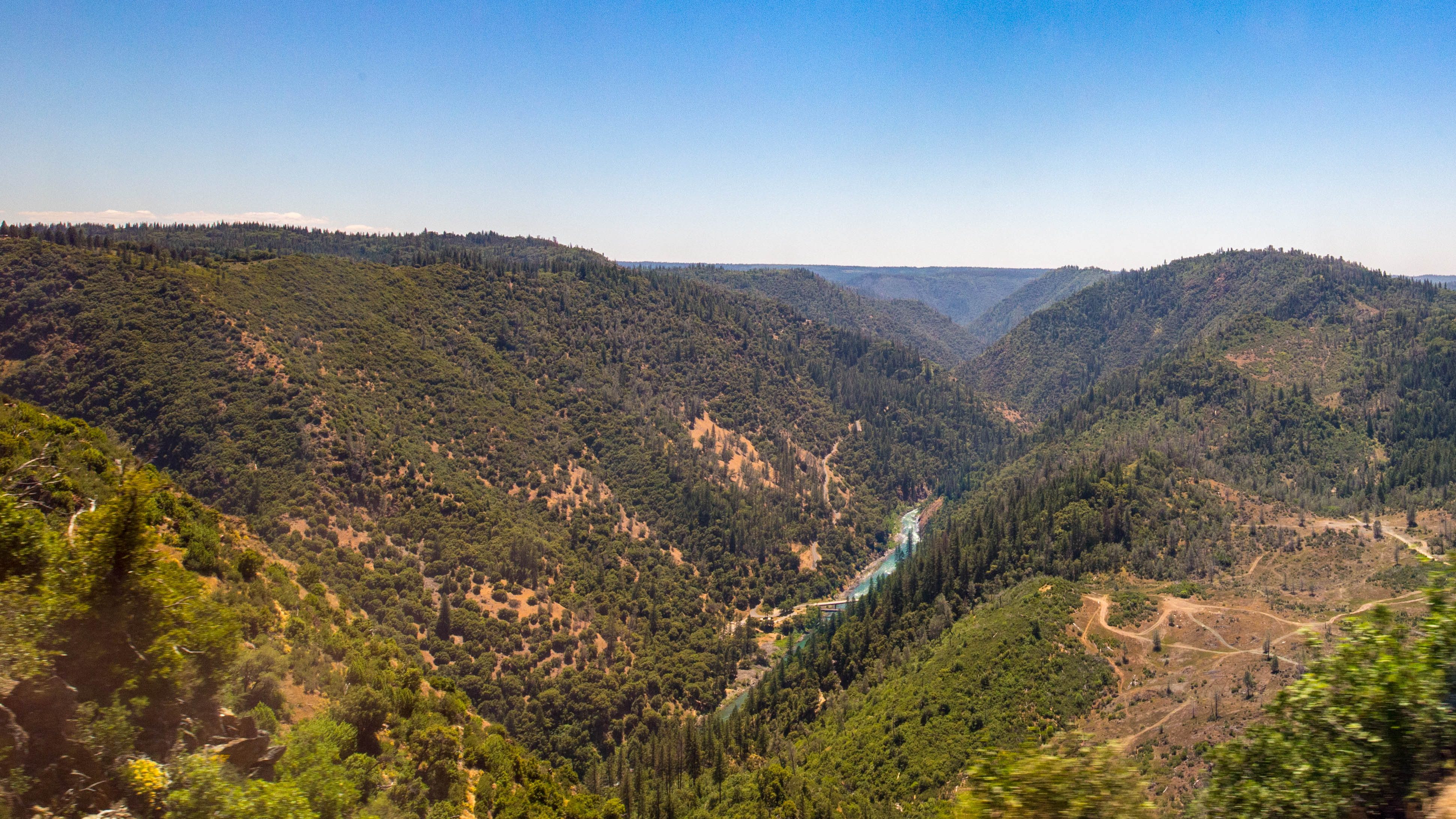
The American River Gorge – A Semi-Grand Canyon

Hand Stacked Rock Wall – Can You Find the Funny Feature?
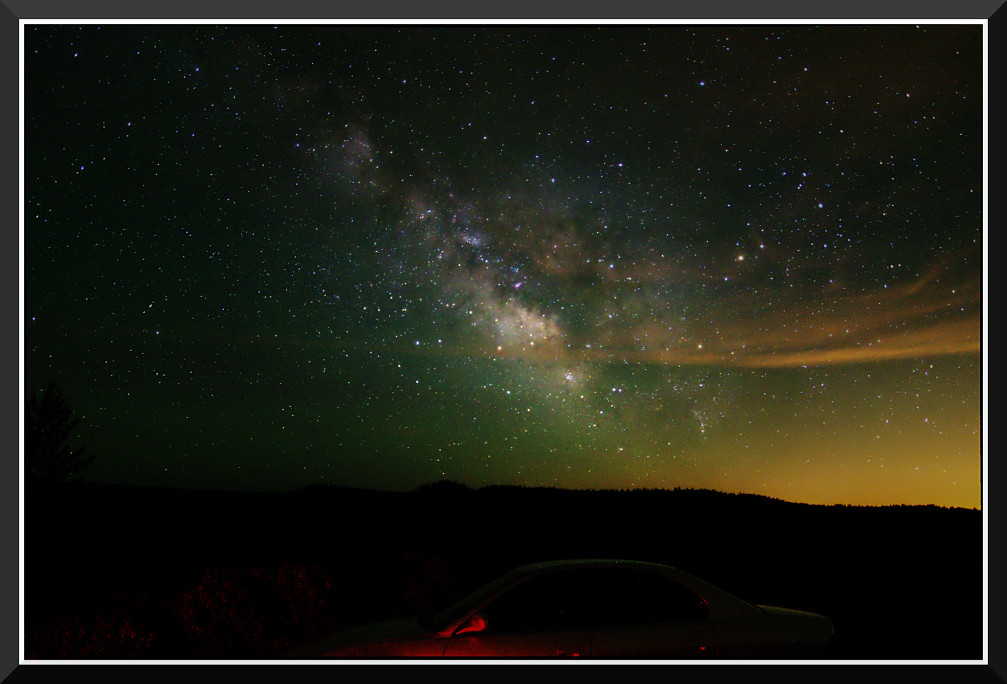
Day 891: MilkyWay_7702
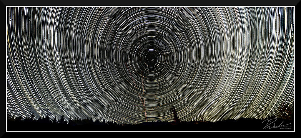
StarTrailsOnly-7999

Sierra Dome Spider (Neriene litigiosa), male; Magra, Placer County, California; June 21, 2014
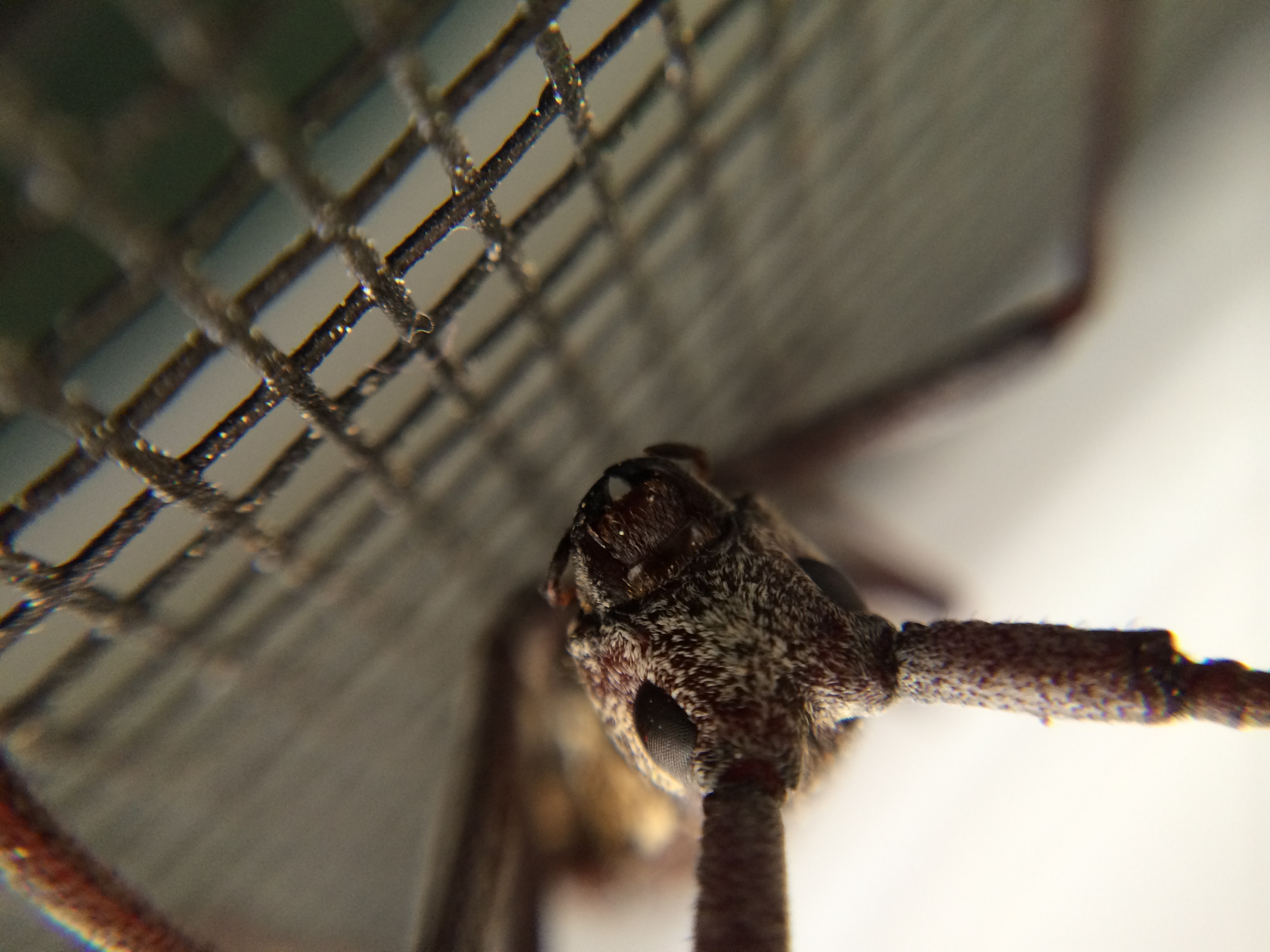
Spotted Pine Sawyer (Monochamus clamator)?; Macra, Placer County, California; June 28, 2014

Iowa Hill Bridge at North Fork American River

Sixspotted Orbweaver (Araniella displicata); Magra, Placer County, California; June 23, 2014

Black-headed Grosbeak

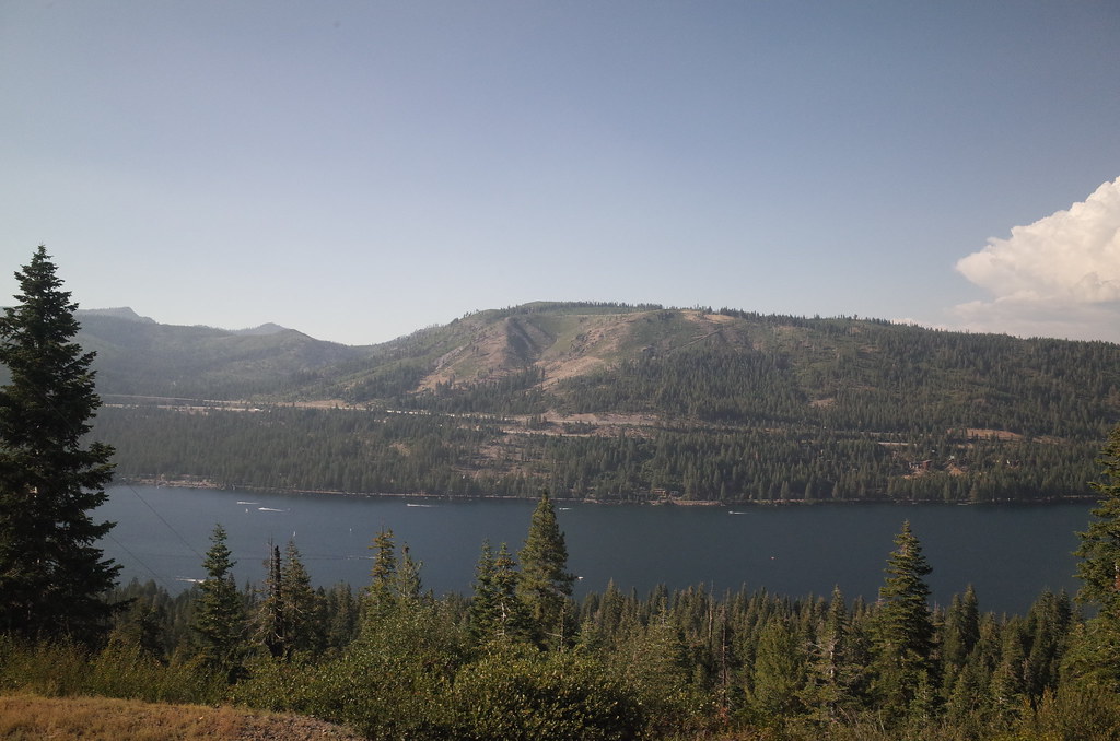
The view from Foresthill
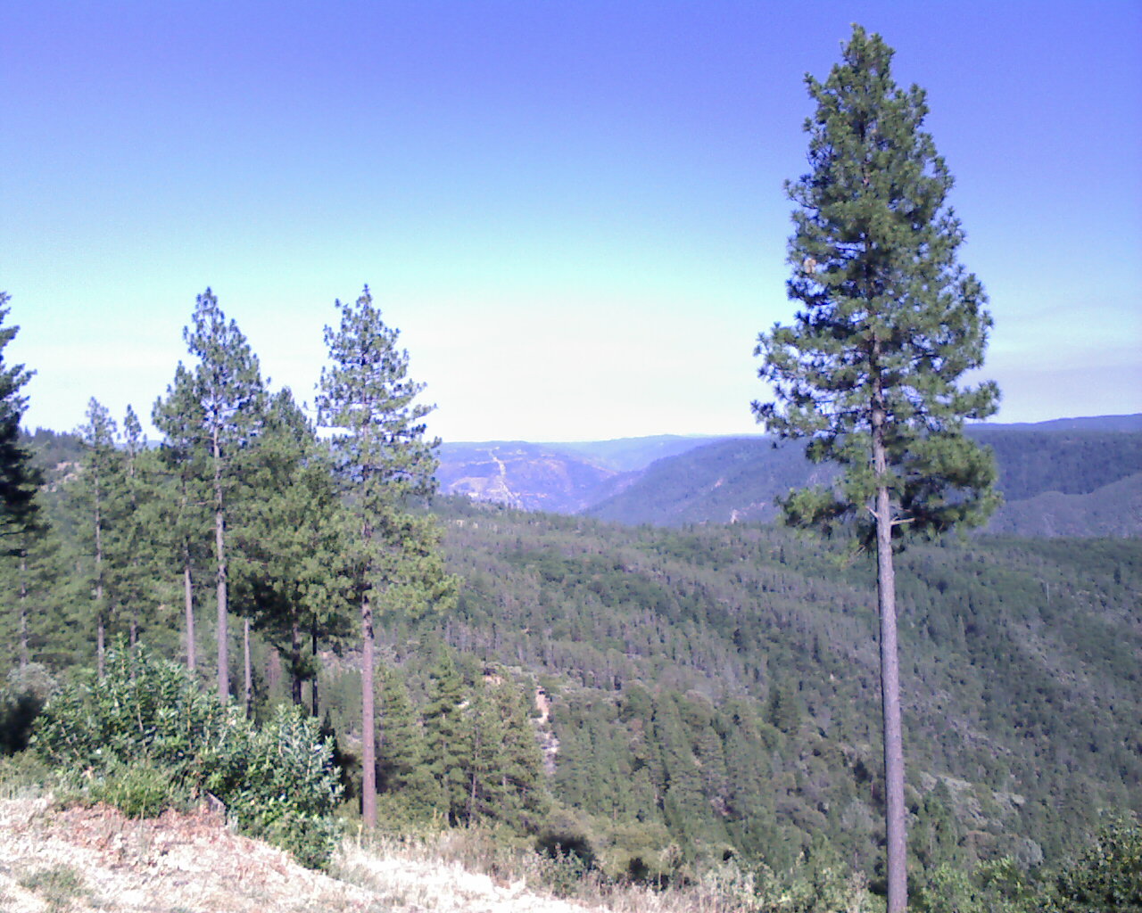
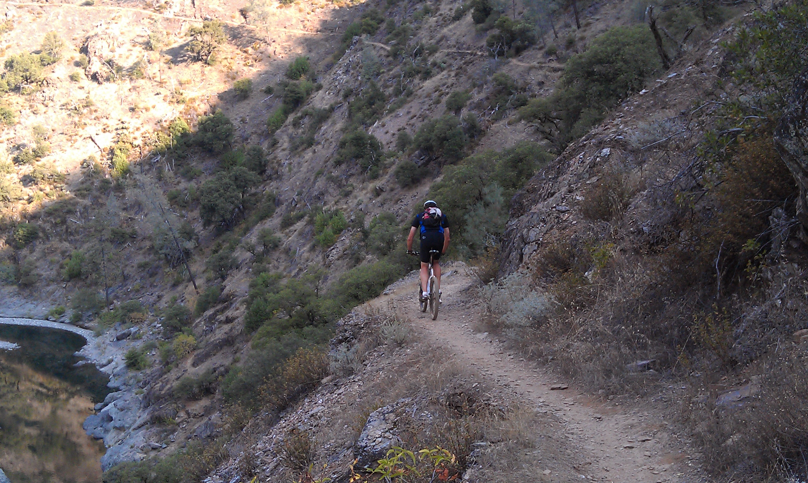
From Foresthill on my ride
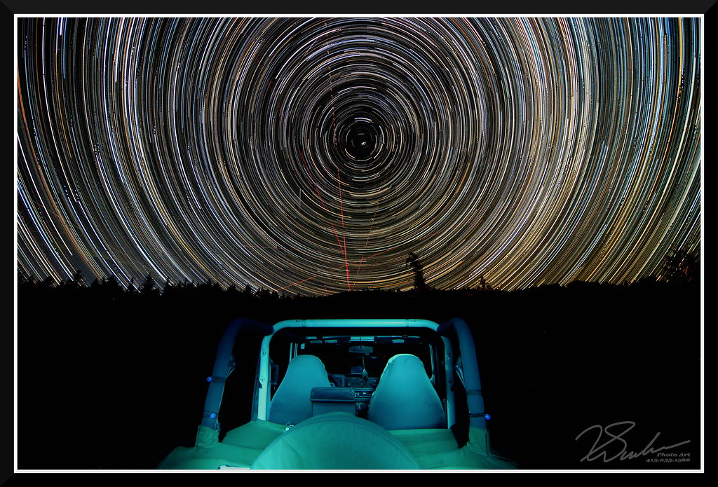
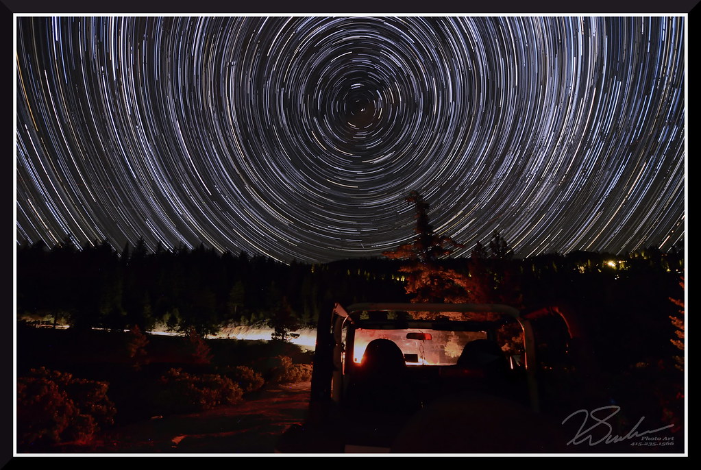
StarTrailsWithJeep-7999
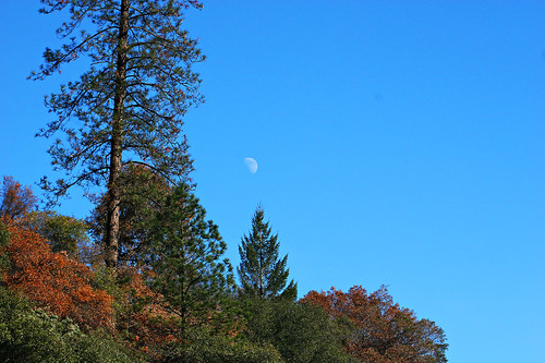
Midday Moon 1786
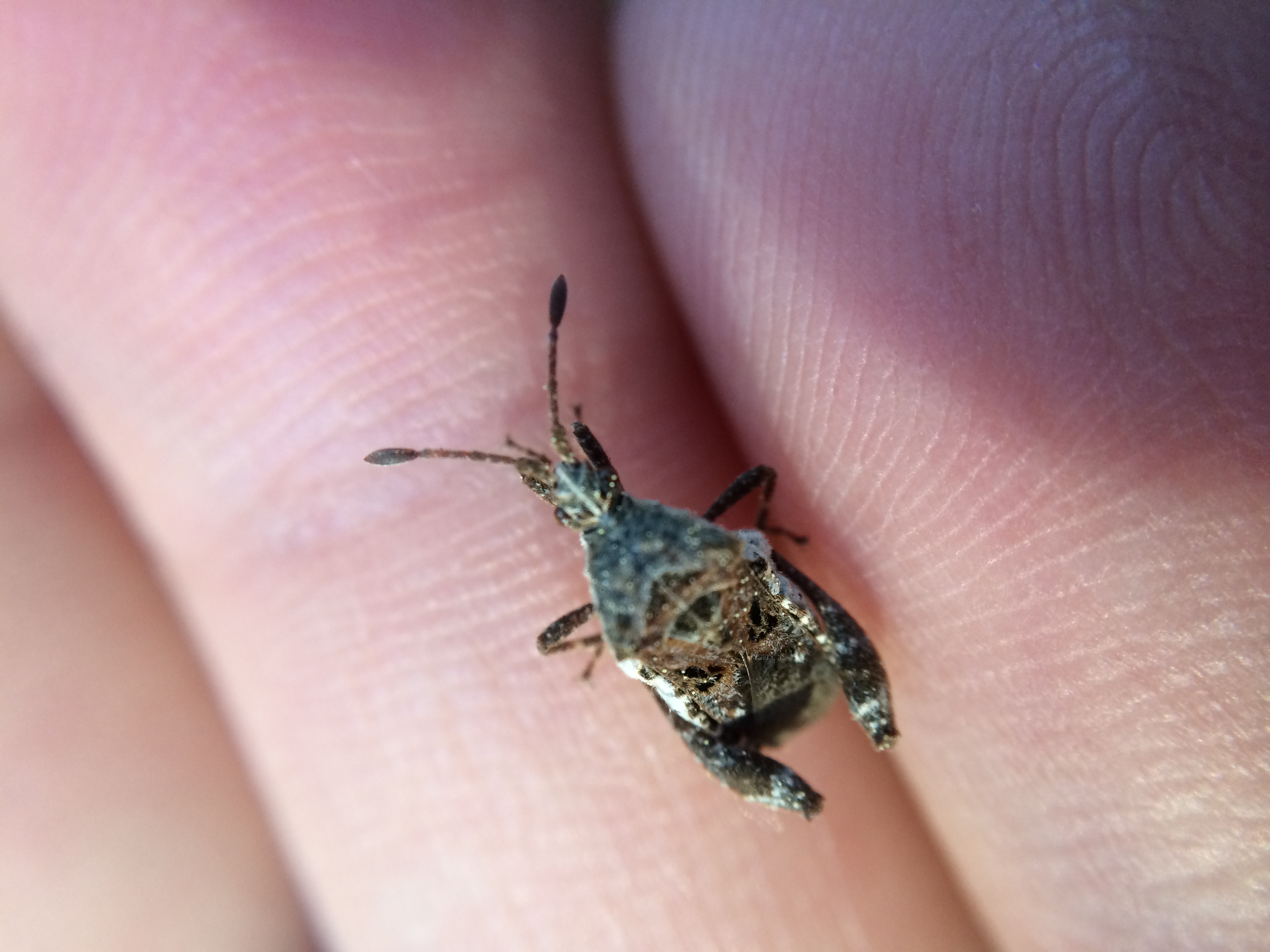
Leaf-footed bug (Merocoris sp.); Magra, Placer County, California; June 23, 2014
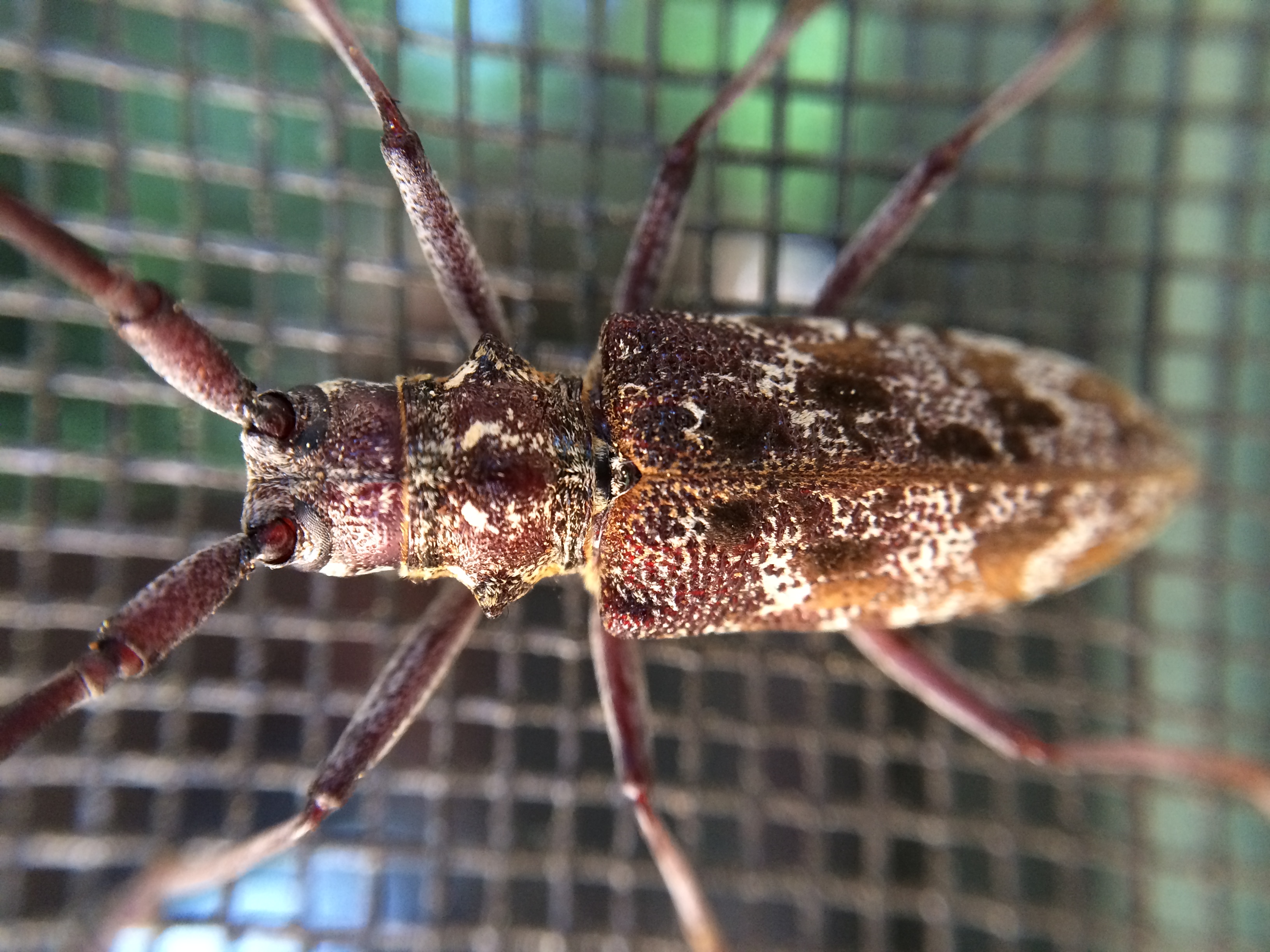
Spotted Pine Sawyer (Monochamus clamator)?; Macra, Placer County, California; June 28, 2014
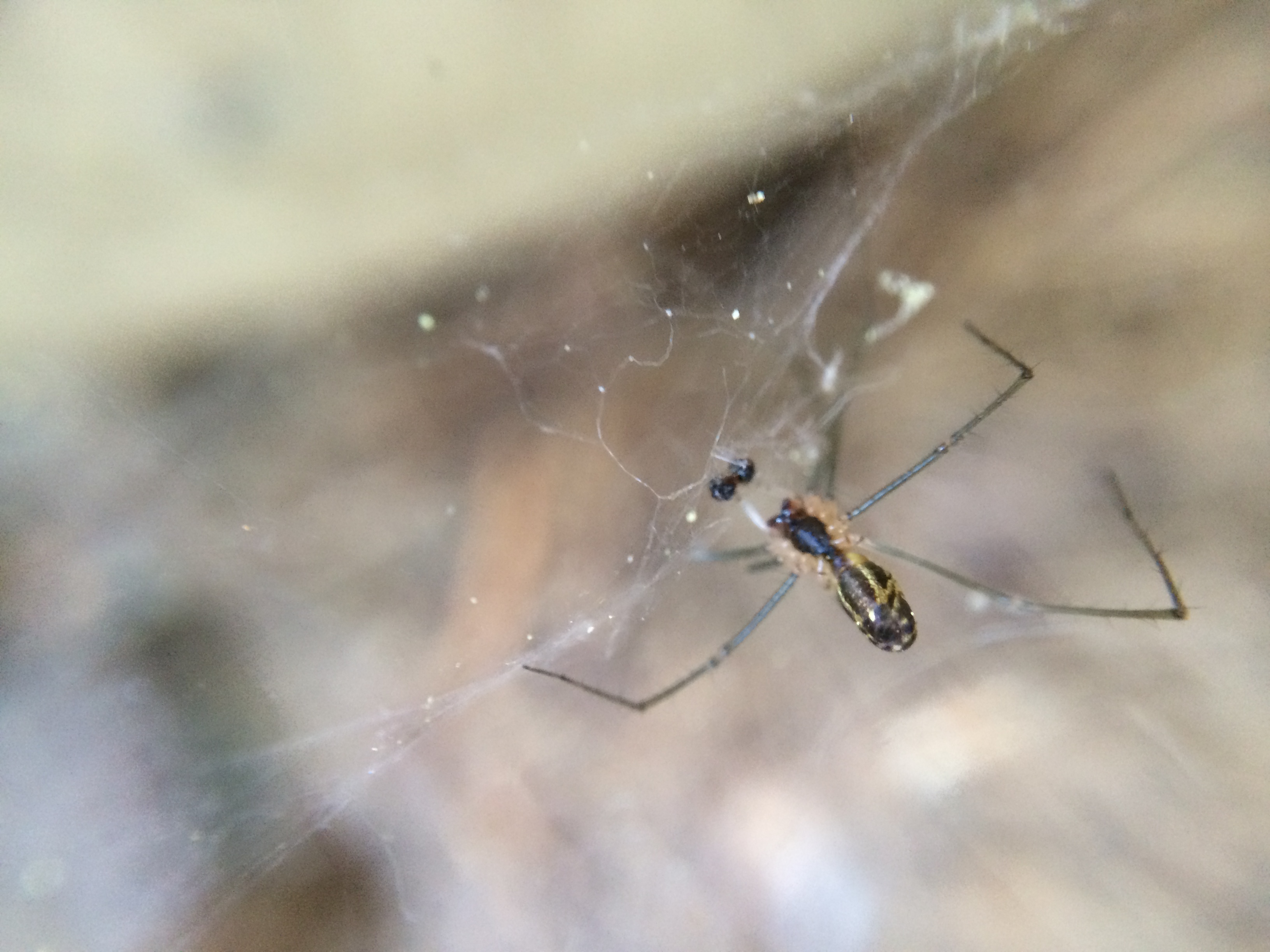
Sierra Dome Spider (Neriene litigiosa), male; Magra, Placer County, California; June 21, 2014
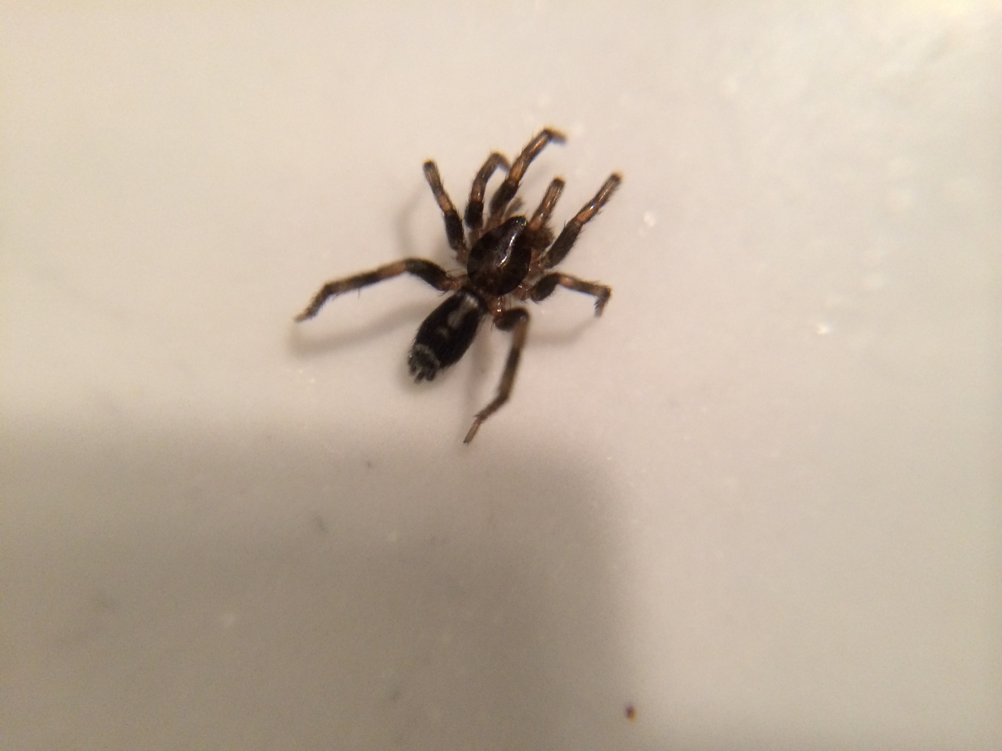
Ground spider (Herpyllus sp.); Magra, Placer County, California; June 21, 2014
Back out

Sixspotted Orbweaver (Araniella displicata); Magra, Placer County, California; June 23, 2014

Yankee Jim's Waterfall
Fall Kayaking for Life
Mineral Bar Bridges

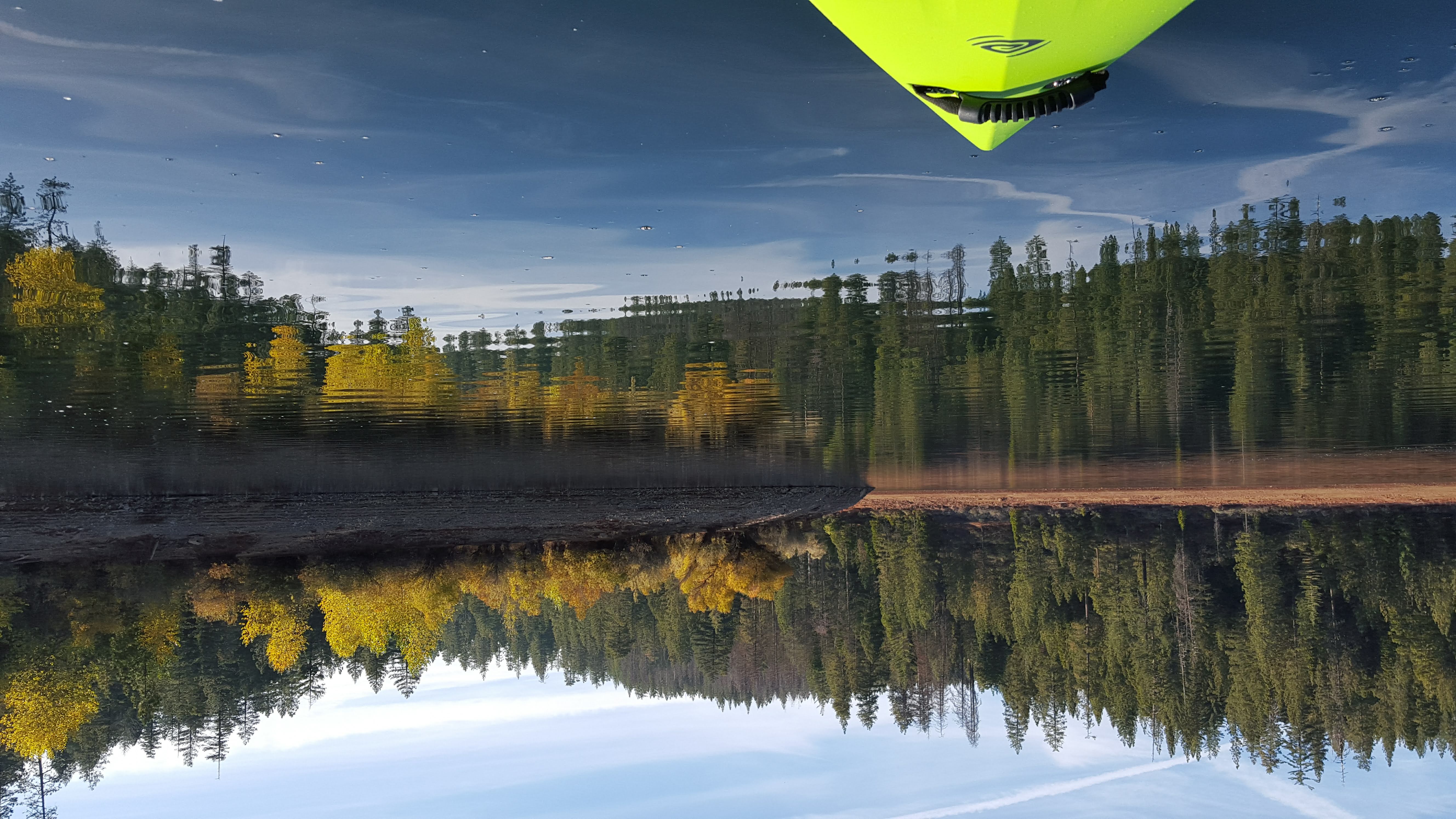
Sierra Lake Paddling

American River Canyon at Oxbow Reservoir

Yankee Jim's Waterfall
North Fork from Stevens Trail

Falling Away
In Bear Country
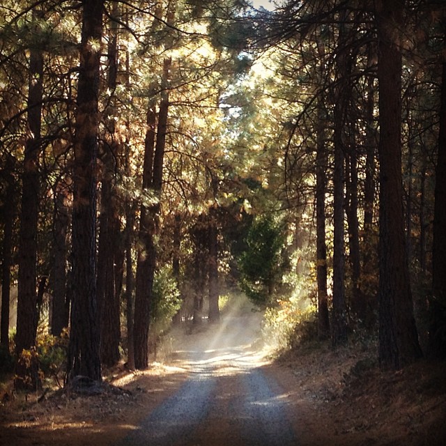
North Fork Morning

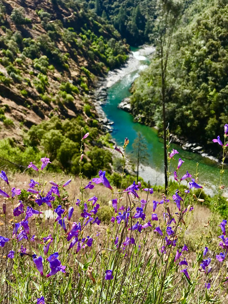
American River Canyon
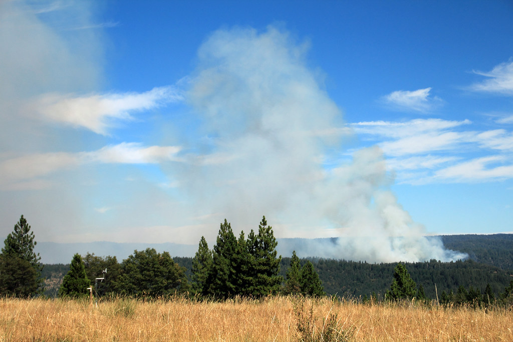
American Fire 08-16-13
#rybridge wedding. Nice location.
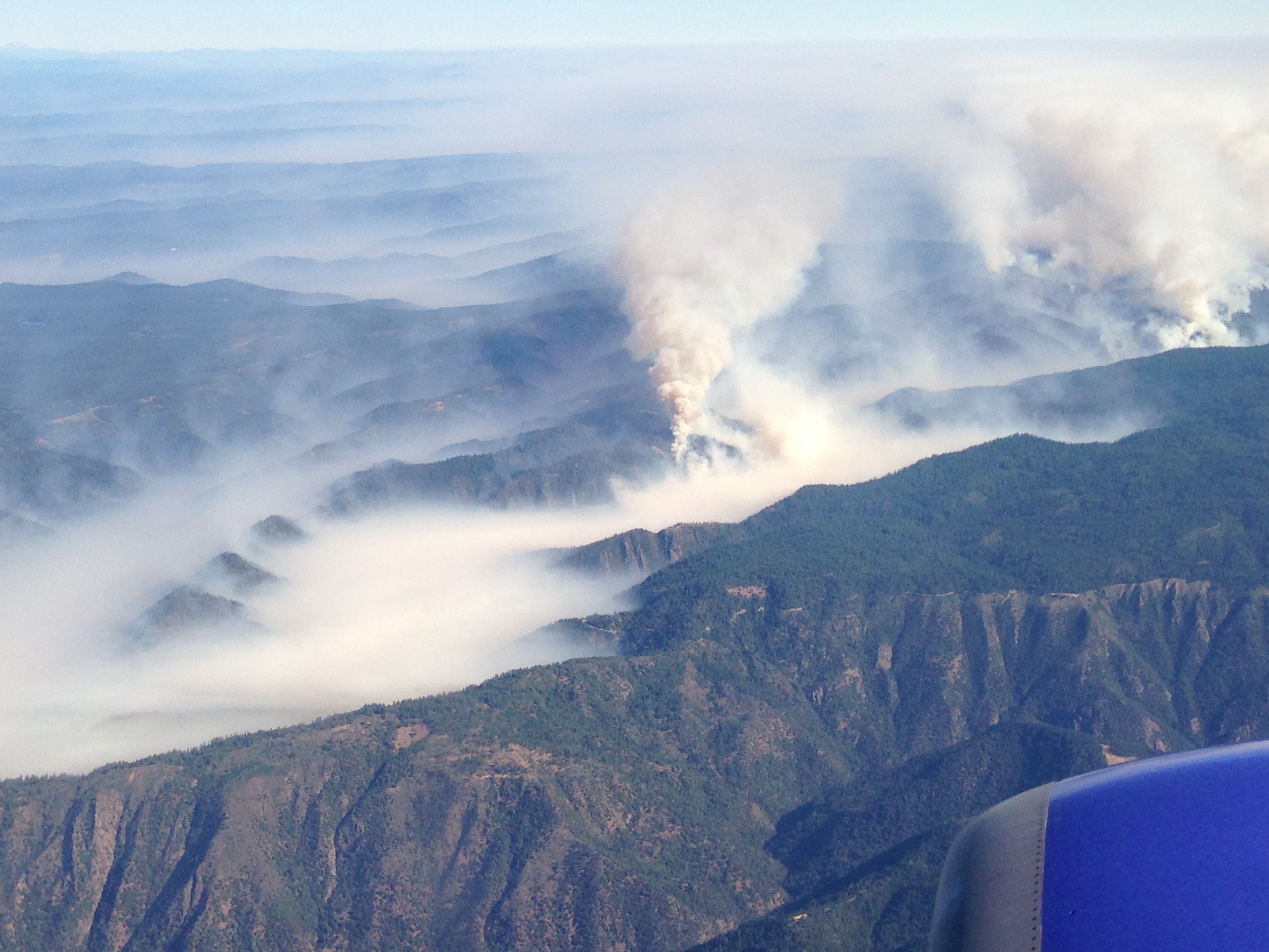
Southwest Airlines' flight from Las Vegas today flew over the American Fire. Image: Bill Roush
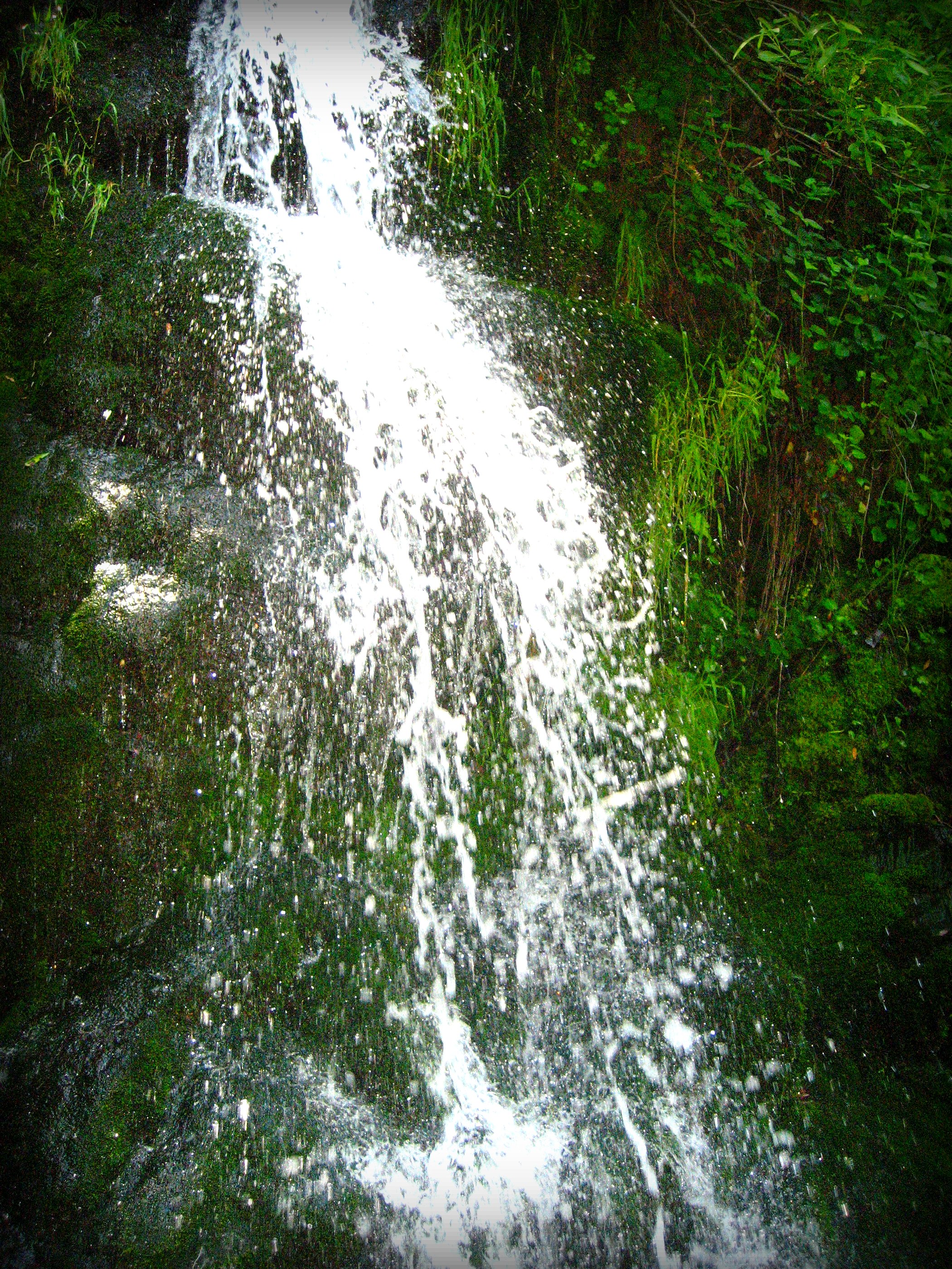
Devils Falls water drops...
River Canyon
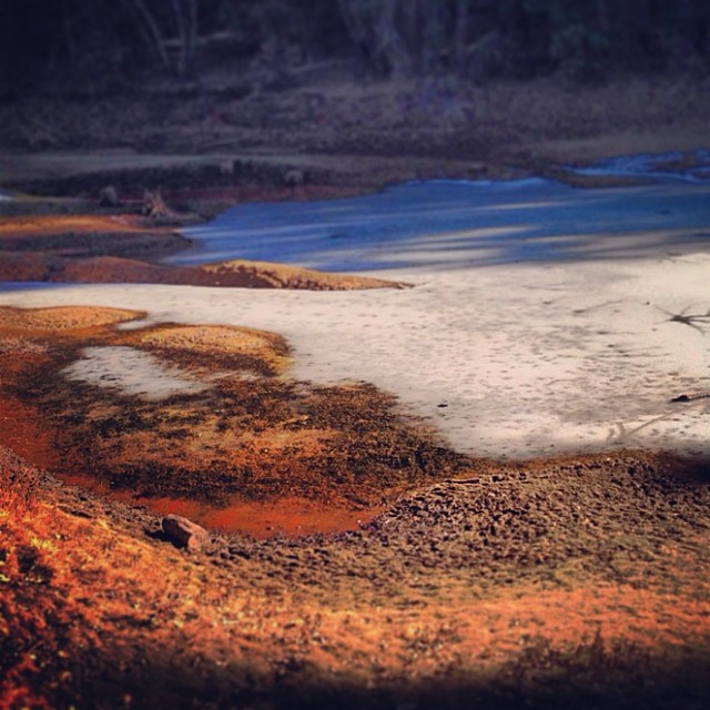
Sunken ice pond

Rafting Tunnel Chute
RI037483.JPG

Bend It
Topographic Map of Michigan Bluff Rd, Foresthill, CA, USA
Find elevation by address:

Places near Michigan Bluff Rd, Foresthill, CA, USA:
28409 Foresthill Rd
29245 Ridge View Rd
Michigan Bluff
29295 Ridge View Rd
30303 Chicken Hawk Rd
Finning Mill Rd, Foresthill, CA, USA
Sacramento--arden-arcade--roseville, Ca
7077 Blackhawk Ln
Placer County
3000 Succor Ln
6440 Hidden Treasure Rd
Sugar Pine Reservoir
Yankee Jims Rd, Foresthill, CA, USA
21950 Yankee Jims Rd
21900 Yankee Jims Rd
3780 Bear Ridge Rd
Big Dipper Rd, Colfax, CA, USA
27300 Big Dipper Rd
China Wall Staging Area
Mosquito Ridge Road
Recent Searches:
- Elevation of Corso Fratelli Cairoli, 35, Macerata MC, Italy
- Elevation of Tallevast Rd, Sarasota, FL, USA
- Elevation of 4th St E, Sonoma, CA, USA
- Elevation of Black Hollow Rd, Pennsdale, PA, USA
- Elevation of Oakland Ave, Williamsport, PA, USA
- Elevation of Pedrógão Grande, Portugal
- Elevation of Klee Dr, Martinsburg, WV, USA
- Elevation of Via Roma, Pieranica CR, Italy
- Elevation of Tavkvetili Mountain, Georgia
- Elevation of Hartfords Bluff Cir, Mt Pleasant, SC, USA