Elevation of Hidden Treasure Rd, Foresthill, CA, USA

Location: United States > California > Placer County > Foresthill >

Longitude: -120.71038

Latitude: 39.115562

Elevation: -10000m / -32808feet

Barometric Pressure: 295KPa

Elevation Map:

elevation map of Hidden Treasure Rd, Foresthill, CA, USA

Satellite Map:

Satellite map of Hidden Treasure Rd, Foresthill, CA, USA

Related Photos:

california clouds bench interestingness bravo picnic view explore foresthill 57 sierrafoothills blueribbonwinner 1raw impressedbeauty sorrypaul dphdr
Before the Rain
summer hot night project way day milky 1000 891 12002
Day 891: MilkyWay_7702
ca feet project way point day view alta milky 3000 1000 919
Day 919: MilkyWay_8909
california road ca mountains sports sport race forest landscape gold view marathon grandcanyon extreme topv999 deep running run canyon racing international lottery rush vista runners gorge athlete sierranevada topv9999 runner ultra forests 28135mm entry vistapoint goldrush northfork placercounty americanriver goldcountry wser ws sierranevadamountains ultramarathon ultrarunning middlefork landscapephotography 1849 westernstatestrail ws100 westernstates landscapephotos mosquitoridgeroad northforkofthemiddlefork landscapephoto americanrivercanyon westernstates100mileendurancerun mosquitoridge foresthilldivide northforkofthemiddleforkoftheamericanriver
The American River Gorge – A Semi-Grand Canyon
california summer canon fire july eldorado 7d firefighting tamron placer neu wildfire blm americanriver 2016 usfs eldoradonationalforest enf aeu calfire canon7dmarkii tamron150600mm trailheadfire
The view from Foresthill
california ca sports sport race kiss andrea marathon brian volunteers extreme topv999 competition auburn running run racing lottery squawvalley crew wife runners info fans athletes athlete morrison jogging runner information ultra 2009 jog foresthill 28135mm entry results checkpoint placercounty facts brianmorrison wser ws ultramarathon aidstation westernstatestrail ws100 inov westernstates nuun westernstatesendurancerun westernstates100 pointtheway americanrivercanyon seattlerunningcompany westernstates100mileendurancerun foresthilldivide dustycorners westernstates100mile teaminov
Brian Morrison at Dusty Corners - Everyone Needs a Kiss after 38 Miles
california placercounty communitycenter 1898 nationalregisterofhistoricplaces
California, Dutch Flat- Placer County, Dutch Flat School (779-2)
california schoolhouse placercounty communitycenter 1898 nationalregisterofhistoricplaces
California, Dutch Flat- Placer County, Dutch Flat School (779-2b)
3 hours star trails north lunar project nikon d7000 with tokina 1116mm 16mm
StarTrailsOnly-7999
californiazephyr amtrak travel trains railroad jpeg jpg 2010 december train alta california
Heading West at: Alta - California. ( 2 Views )
90 minutes or one half hour this earth spinning produce picture part night alta ca
StarTrails-9799
up8750 sd70ace emd electromotivedivision electromotive diesel locomotive engine rail railroad train freighttrain freight cargo up unionpacific unionpacificrailroad uprosevillesub goldrun goldrunca placercounty goldcountry sierranevada sierra mountains northerncalifornia california
In the pines
bird grosbeak placercounty sierrafoothills blackheadedgrosbeak pheucticusmelanocephalus perchingbird femaleblackheadedgrosbeak
Black-headed Grosbeak
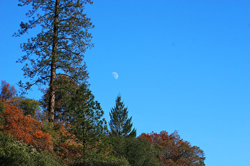
california blue sky moon mountain tree 20d canon landscape daylight photo sierra photograph half sacramento noon midday placercounty casch canon2880f284l familygetty
Midday Moon 1786
at night park photo safari jeep pointing north start snapping some 250 pictures next three hours alta ca
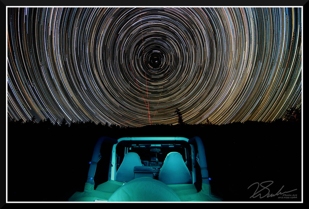
StarTrailsWithJeep-7999
trains unionpacific railroading
Super Wide View
california ca hiking slug tahoenationalforest
20070603 Slug
Shady Run
View from almost the top of Ralston Ridge
sugarpinereservoir kayaking fall water trees reflection scenic nature lake flatwater paddling photopaddling
Fall Kayaking for Life
foresthill placer neu blm usfs foresthillroad tnf 2013 americanfire
American Fire 08-16-13
sugarpinereservoir kayaking paddling lake california pine trees fall scenic nature water reflection
Sierra Lake Paddling
california unitedstates foresthill tahoenationalforest deadwoodcemetary americanfire
Deadwood Cemetary
2016 california summer canon 7d canon7dmarkii july enf eldorado placer eldoradonationalforest trailheadfire trailhead helicopter aeu neu tamron tamron150600mm n45917 61271 s61v1 sikorsky sillerhelicoptersinc
Returning for one more
In Bear Country
RI037517.JPG
RI037522.JPG
RI037520.JPG
square squareformat hefe iphoneography instagramapp uploaded:by=instagram foursquare:venue=4dbb413a1e72b351ca94bd44
#rybridge wedding. Nice location.
RI037513.JPG
RI037511.JPG
up7708 c45accte gevo ge generalelectric diesel locomotive engine rail railroad train freighttrain intermodaltrain up unionpacific unionpacificrailroad uprosevillesub casaloma altaca placercounty sierranevada sierrafoothills goldcountry northerncalifornia california
ZG2LT at Casa Loma
Woods in Northern CA
RI037483.JPG
whitewater rafting alloutdoors middleforkamerican
Rafting Tunnel Chute
_8140139.NEF
california road iowahill
Iowa Hill Road, Calif.
RI037487.JPG