Elevation of Michigan Bluff, CA, USA

Location: United States > California > Placer County >

Longitude: -120.74131

Latitude: 39.0429556

Elevation: 1078m / 3537feet

Barometric Pressure: 89KPa

Elevation Map:

elevation map of Michigan Bluff, CA, USA

Satellite Map:

Satellite map of Michigan Bluff, CA, USA

Related Photos:

california ca rock wall landscape geotagged gold photo interestingness funny photos topv999 humor pic explore walls funnypics topv9999 28135mm placercounty funnyphotos goldmine funnyphoto landscapephotography funnypic top500 tahoenationalforest interestingness401 i500 landscapephotos mosquitoridgeroad handstacked funnyfeature
Hand Stacked Rock Wall – Can You Find the Funny Feature?
california ca sports sport race kiss andrea marathon brian volunteers extreme topv999 competition auburn running run racing lottery squawvalley crew wife runners info fans athletes athlete morrison jogging runner information ultra 2009 jog foresthill 28135mm entry results checkpoint placercounty facts brianmorrison wser ws ultramarathon aidstation westernstatestrail ws100 inov westernstates nuun westernstatesendurancerun westernstates100 pointtheway americanrivercanyon seattlerunningcompany westernstates100mileendurancerun foresthilldivide dustycorners westernstates100mile teaminov
Brian Morrison at Dusty Corners - Everyone Needs a Kiss after 38 Miles
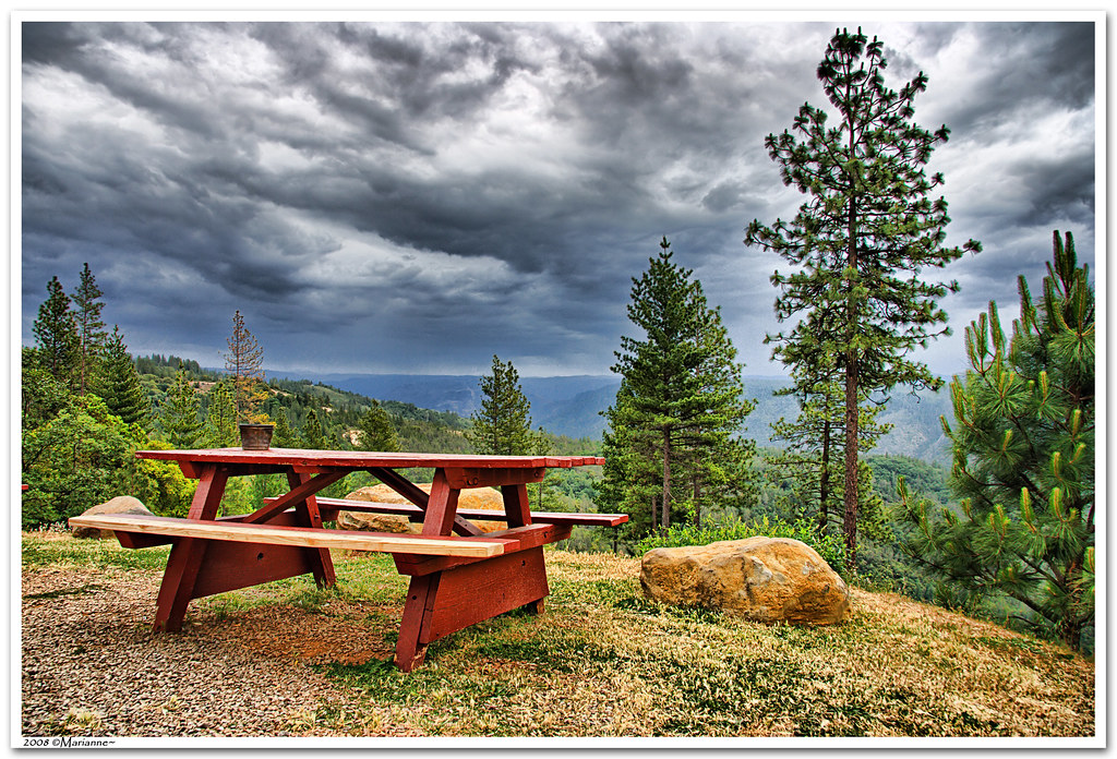
california clouds bench interestingness bravo picnic view explore foresthill 57 sierrafoothills blueribbonwinner 1raw impressedbeauty sorrypaul dphdr
Before the Rain
california summer canon fire july eldorado 7d firefighting tamron placer neu wildfire blm americanriver 2016 usfs eldoradonationalforest enf aeu calfire canon7dmarkii tamron150600mm trailheadfire
The view from Foresthill
View from almost the top of Ralston Ridge
From Foresthill on my ride
california road ca mountains sports sport race forest landscape gold view marathon grandcanyon extreme topv999 deep running run canyon racing international lottery rush vista runners gorge athlete sierranevada topv9999 runner ultra forests 28135mm entry vistapoint goldrush northfork placercounty americanriver goldcountry wser ws sierranevadamountains ultramarathon ultrarunning middlefork landscapephotography 1849 westernstatestrail ws100 westernstates landscapephotos mosquitoridgeroad northforkofthemiddlefork landscapephoto americanrivercanyon westernstates100mileendurancerun mosquitoridge foresthilldivide northforkofthemiddleforkoftheamericanriver
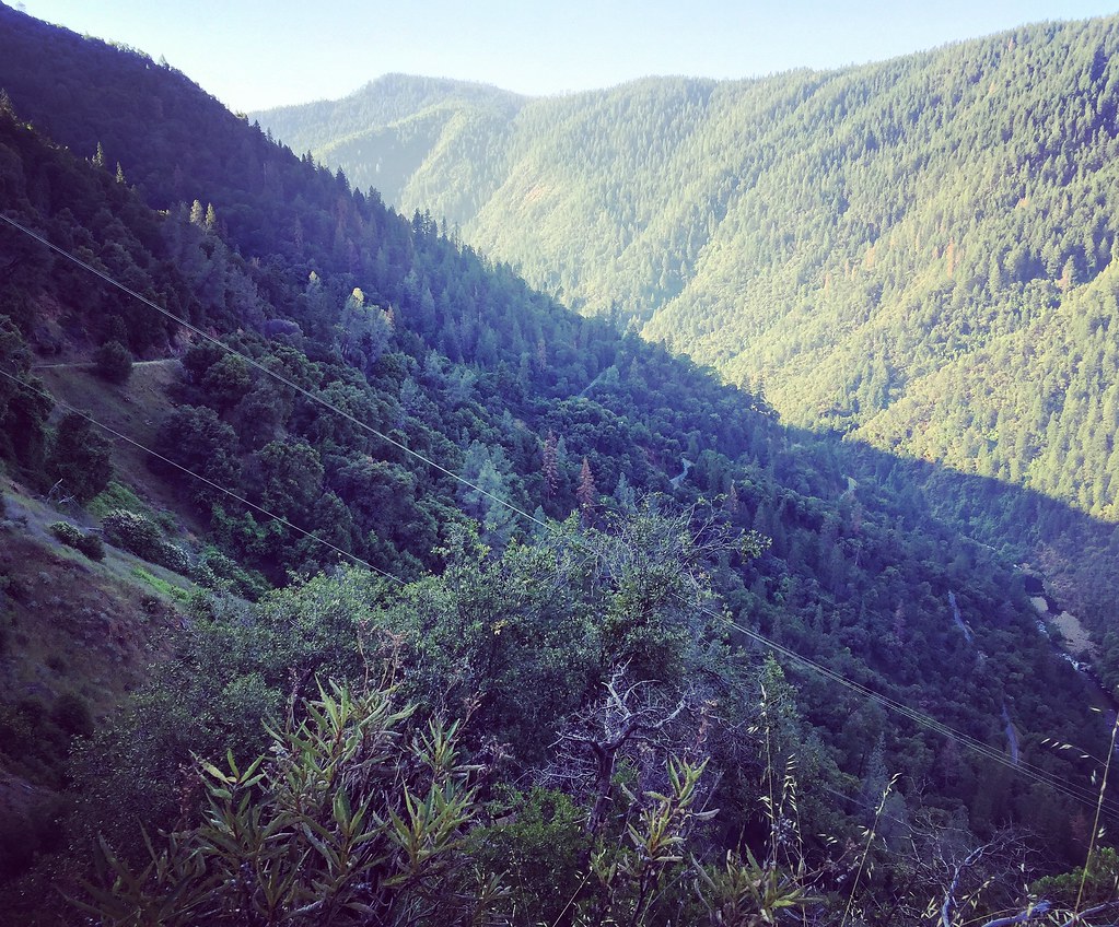
The American River Gorge – A Semi-Grand Canyon
california ca sports sport race kiss andrea marathon brian volunteers extreme topv999 competition auburn running run racing lottery squawvalley crew wife runners info fans athletes athlete morrison jogging runner information ultra 2009 jog foresthill 28135mm entry results checkpoint placercounty facts brianmorrison wser ws ultramarathon aidstation westernstatestrail ws100 inov westernstates nuun westernstatesendurancerun westernstates100 pointtheway americanrivercanyon seattlerunningcompany westernstates100mileendurancerun foresthilldivide dustycorners westernstates100mile teaminov
Brian Morrison at Dusty Corners - Just Point the Way
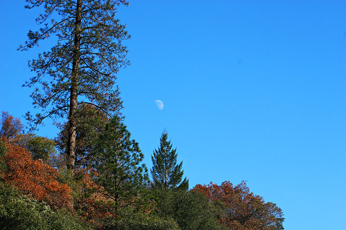
california blue sky moon mountain tree 20d canon landscape daylight photo sierra photograph half sacramento noon midday placercounty casch canon2880f284l familygetty
Midday Moon 1786
bird grosbeak placercounty sierrafoothills blackheadedgrosbeak pheucticusmelanocephalus perchingbird femaleblackheadedgrosbeak
Black-headed Grosbeak
california mountain lake snow 20d canon landscape photo high country tahoe sierra photograph sacramento capped foresthill placercounty familygetty
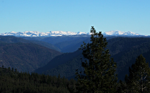
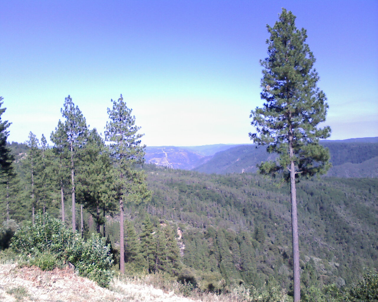
High Sierra Vista 1766
mountainbike mtb colfax placercounty americanriver stevenstrail stoneartstacking
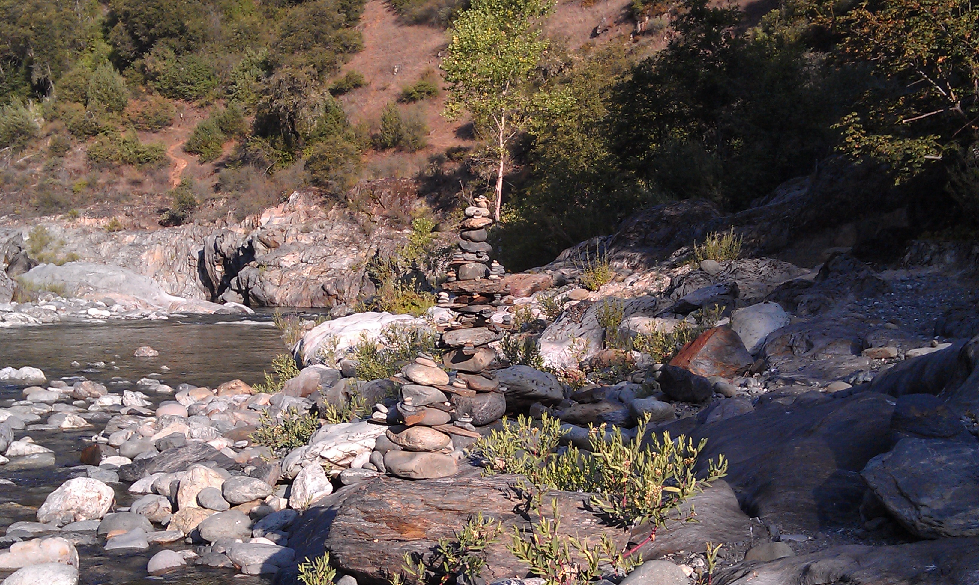
Mysterious Symetrical Stone Stacking
View from almost the top of Ralston Ridge
mountainbike mtb colfax placercounty americanriver stevenstrail
American River Canyon
View from almost the top of Ralston Ridge
In Bear Country
california ca longexposure summer mist mountain mountains water pool creek landscape gold waterfall grunge smooth highcontrast 49ers 2006 sierra waterfalls highsaturation pan sierras sierranevada panning comparison foresthill hdr colfax creeks compare goldrush northfork claim waterscape placercounty americanriver goldcountry reshoot sierranevadamountains 2011 landscapephotography northforkamericanriver devilsfalls tonemapped californiagoldcountry goldminers 5xp tonemaping 1750mm yankeejim yankeejimsroad yankeejims goldclaim shirttailcreek foresthilldivide devilsfall devilswaterfall devilswaterfalls
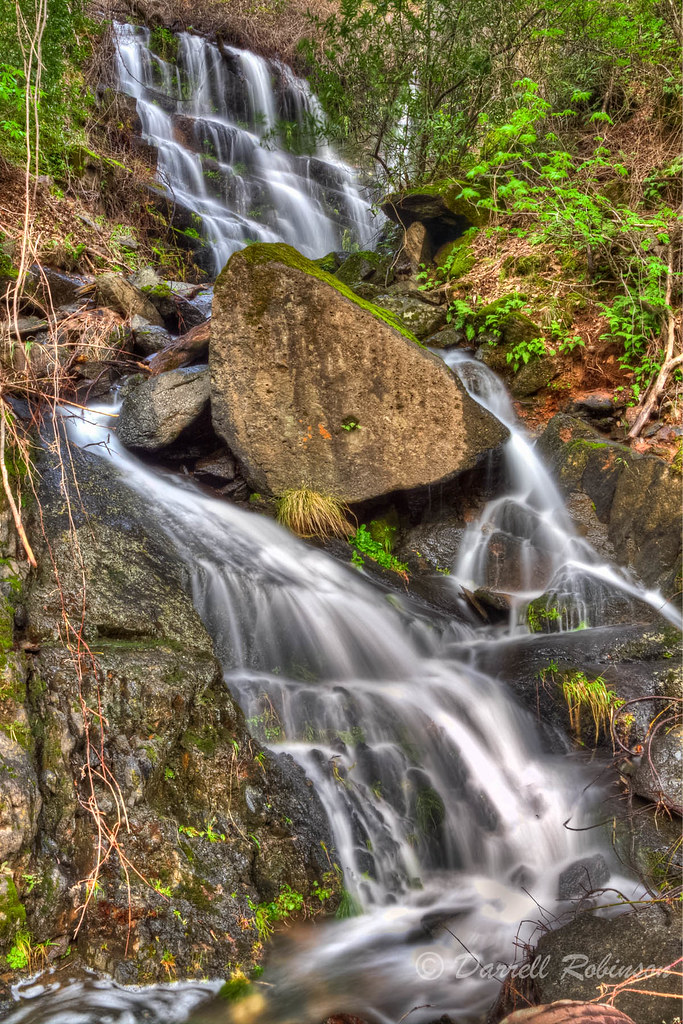
Devil's Falls (Smooth)
california ca longexposure summer mist mountain mountains water pool creek landscape gold waterfall grunge smooth highcontrast 49ers 2006 sierra waterfalls highsaturation pan sierras sierranevada panning comparison foresthill hdr colfax creeks compare goldrush northfork claim waterscape placercounty americanriver goldcountry reshoot sierranevadamountains 2011 landscapephotography northforkamericanriver devilsfalls tonemapped californiagoldcountry goldminers 5xp tonemaping 1750mm yankeejim yankeejimsroad yankeejims goldclaim shirttailcreek foresthilldivide devilsfall devilswaterfall devilswaterfalls
Devil's Falls (Grunge)
california ca blue wild snow cold green nature water river landscape geotagged landscapes interestingness movement scenery energy colorful chaos natural nevada topv999 tranquility bubbles spray sierra rapids explore whirlpool rivers waters highenergy melt icy eddy frigid cauldron rapid mountians 28135mm torrent boiling churn turbulence chaotic boil waterscape placercounty americanriver scour eddies splashing boils churning middlefork landscapephotography tumultuous top500 whirlpools flickrexplore tumult interestingness153 i500 landscapephotos landscapephoto
The Cauldron of Frigid Waters
california ca bridge river landscape geotagged gold suspension topv999 bridges historic rivers sierranevada topv9999 28135mm goldrush placercounty americanriver goldcountry sierranevadamountains landscapephotography 1849 northforkamericanriver californiagoldcountry landscapephotos yankeejimsroad yankeejimsbridge landscapephoto
Yankee Jims Bridge - North Fork American River (i)
california ca green water forest landscape geotagged waterfall topv999 waterfalls forests 28135mm placercounty goldcountry landscapephotography californiagoldcountry landscapephotos yankeejimsroad landscapephoto
Yankee Jim's Waterfall
california ca summer mountain lake fish mountains green nature water river season landscape geotagged boats landscapes boat high still fishing scenery seasons natural dam topv999 lakes deep tranquility canyon rivers serenity boating waters troll serene trout sierranevada tranquil 28135mm steep placercounty americanriver sierranevadamountains middlefork trolling landscapephotography landscapephotos oxbowreservoir landscapephoto
Lone Boater on Oxbow Reservoir
california foothills water creek canon waterfall stream sigma adobe cascades vivitar manfrotto placercounty sierranevadafoothills auburnstaterecreationarea devilsfalls canoneos50d manfrotto190xprobtripod lightroom3 zeikos northforkamericanrivercanyon adobephotoshopcs5 adobebridgecs5 sigma1770mmf2845dcmacrolens zeikoscpl devilscanyoncreek vivitarwirelessshutterreleasevivrc200 manfrottobasicpantilthead
Falling Away
landscape weimar waterfall jims yankee colfax d800 1424
Yankee Jim's Waterfall
california foothills creek canon river waterfall hiking sigma places placercounty americanriver sierranevadafoothills northforkamericanriver auburnstaterecreationarea canoneos50d seasonalcreek sigma1770mmf2845dcmacrolens zeikoscpl conkinfilterholder leefilter9ndgradpseries
Seasonal Waterfall
foresthill placer neu blm usfs foresthillroad tnf 2013 americanfire
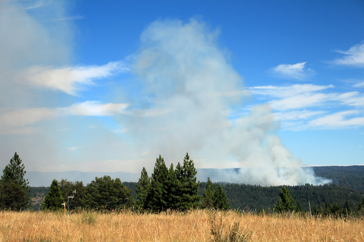
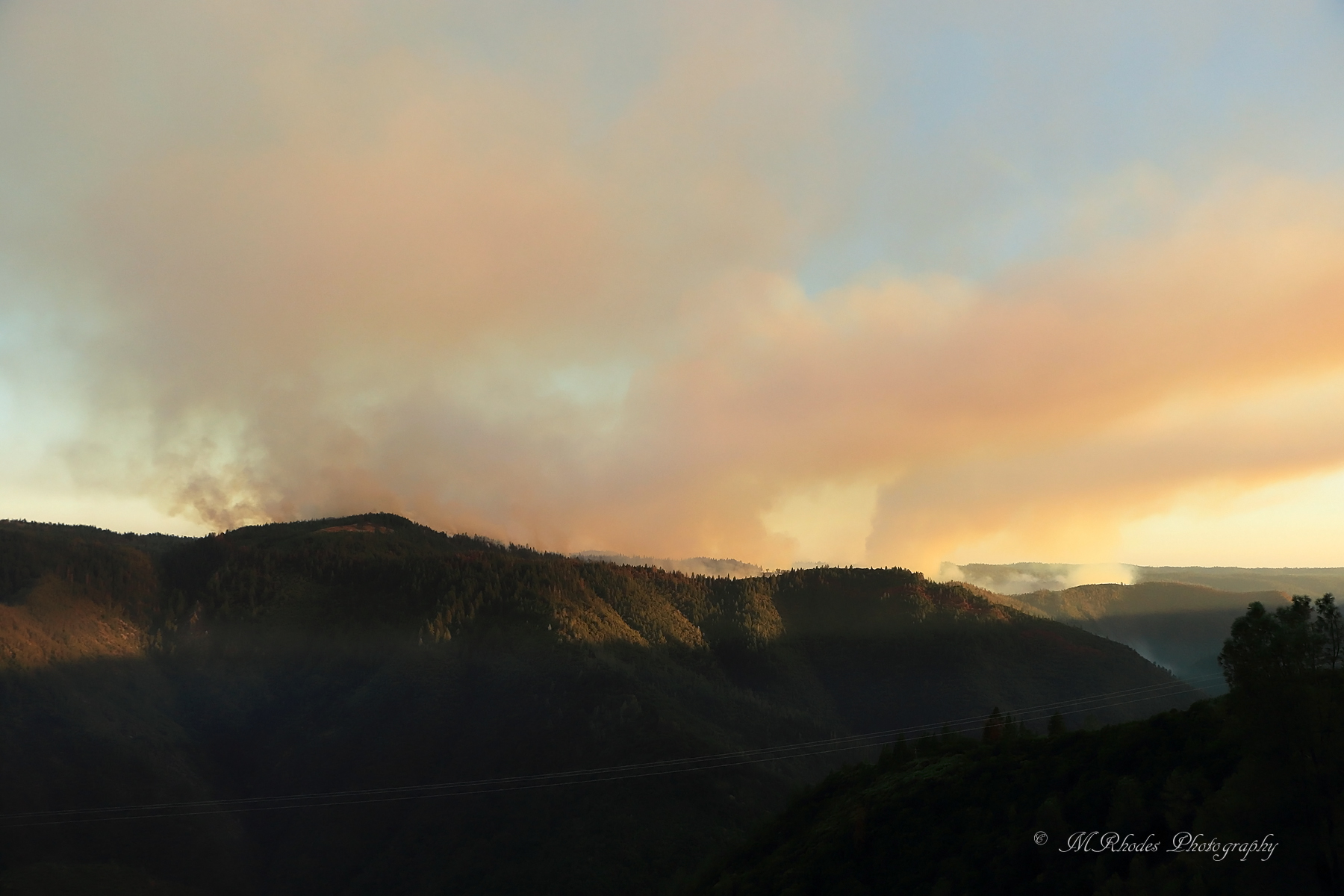
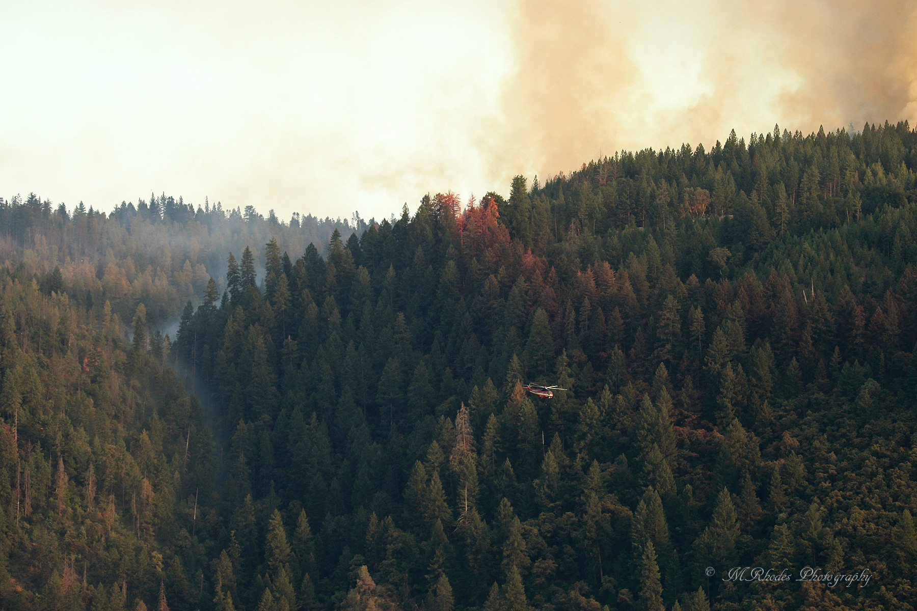
American Fire 08-16-13
california unitedstates foresthill
Falls on Big Mosquito Creek
california nature landscape waterfall unitedstates waterfalls backcountry sierranevadas goldrun
Canyon Creek Falls
square squareformat hefe iphoneography instagramapp uploaded:by=instagram foursquare:venue=4dbb413a1e72b351ca94bd44
#rybridge wedding. Nice location.
whitewater rafting alloutdoors middleforkamerican
Rafting Tunnel Chute
square sierra squareformat iphoneography instagramapp uploaded:by=instagram foursquare:venue=4b809269f964a520cd7d30e3
Sunken ice pond
2016 california summer canon 7d canon7dmarkii july enf eldorado placer eldoradonationalforest trailheadfire trailhead helicopter aeu neu tamron tamron150600mm n45917 61271 s61v1 sikorsky sillerhelicoptersinc
Returning for one more
california unitedstates
Falls on Big Mosquito Creek