Elevation of Megs Rd, Lucedale, MS, USA
Location: United States > Mississippi > George County > Lucedale >
Longitude: -88.594682
Latitude: 30.797662
Elevation: 44m / 144feet
Barometric Pressure: 101KPa
Elevation Map:
Satellite Map:
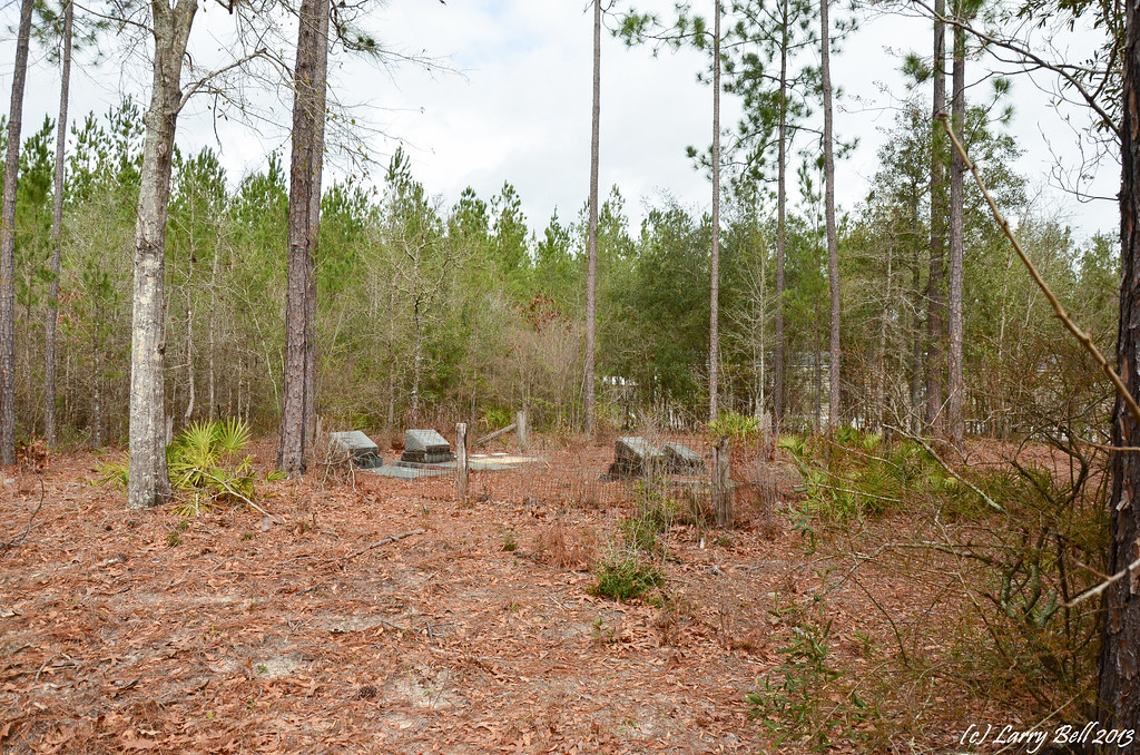
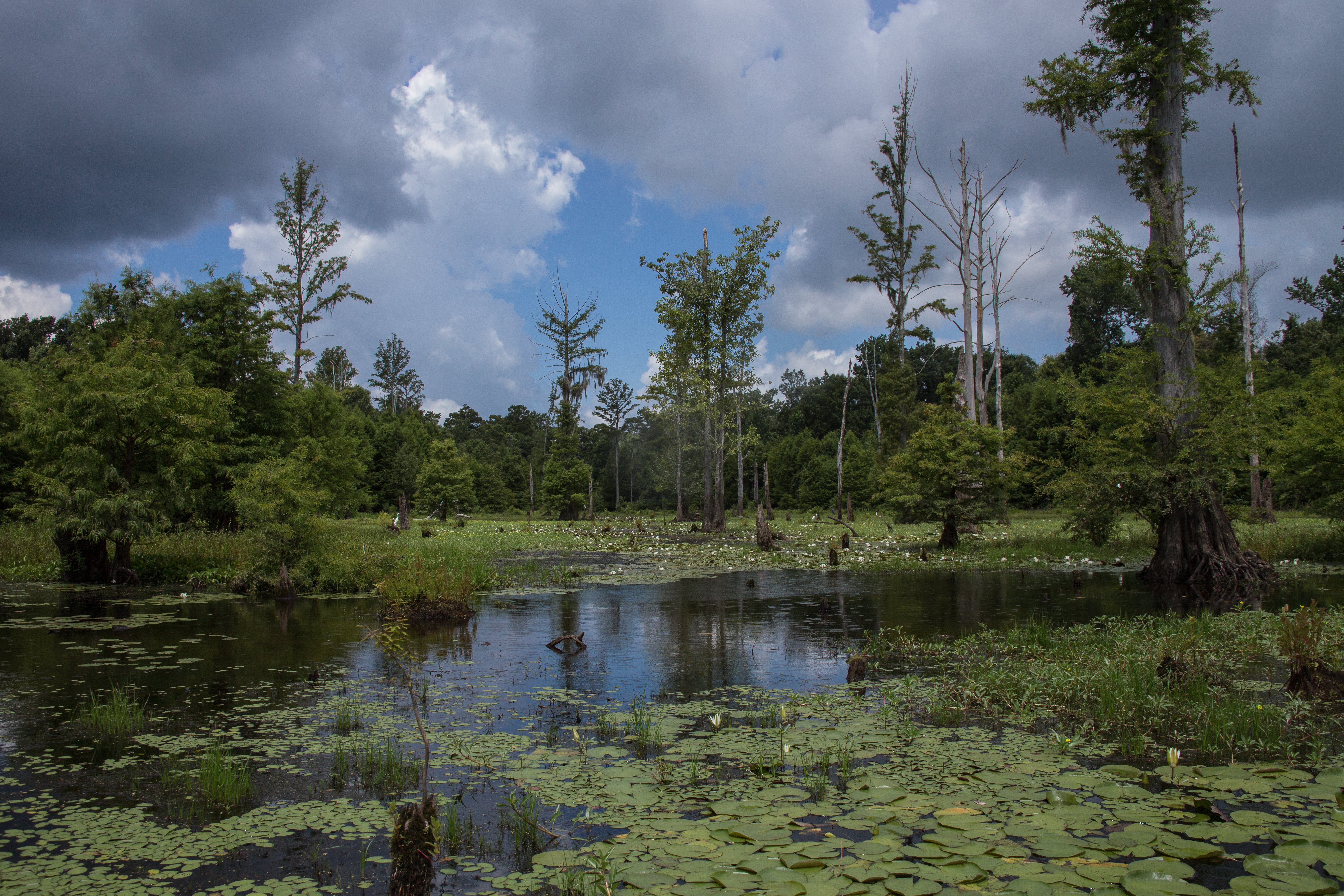
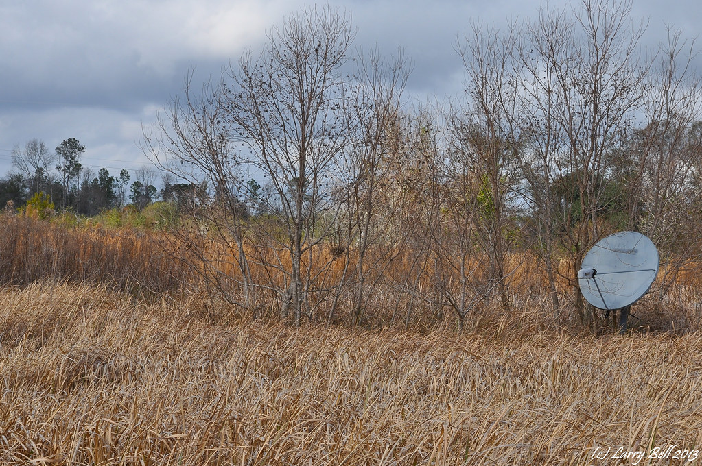
Related Photos:
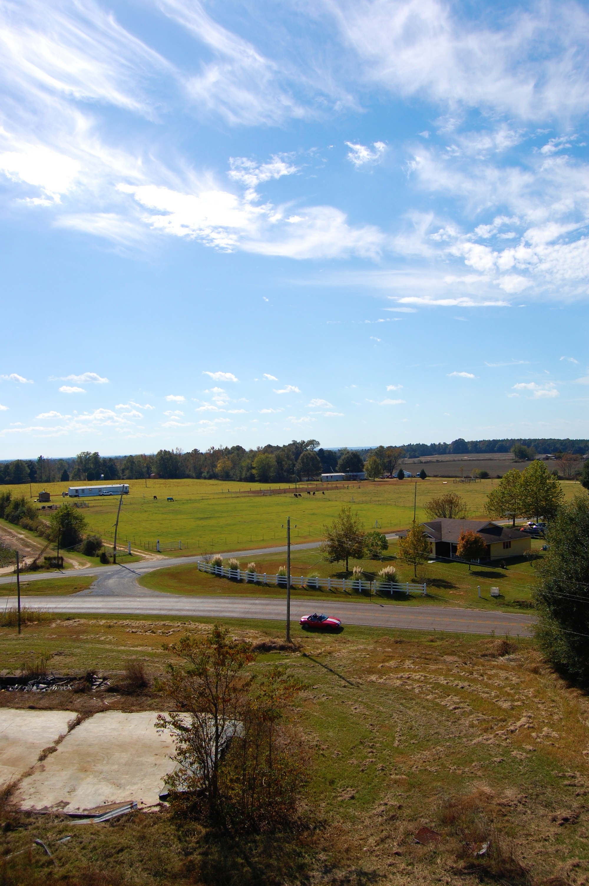
view from above

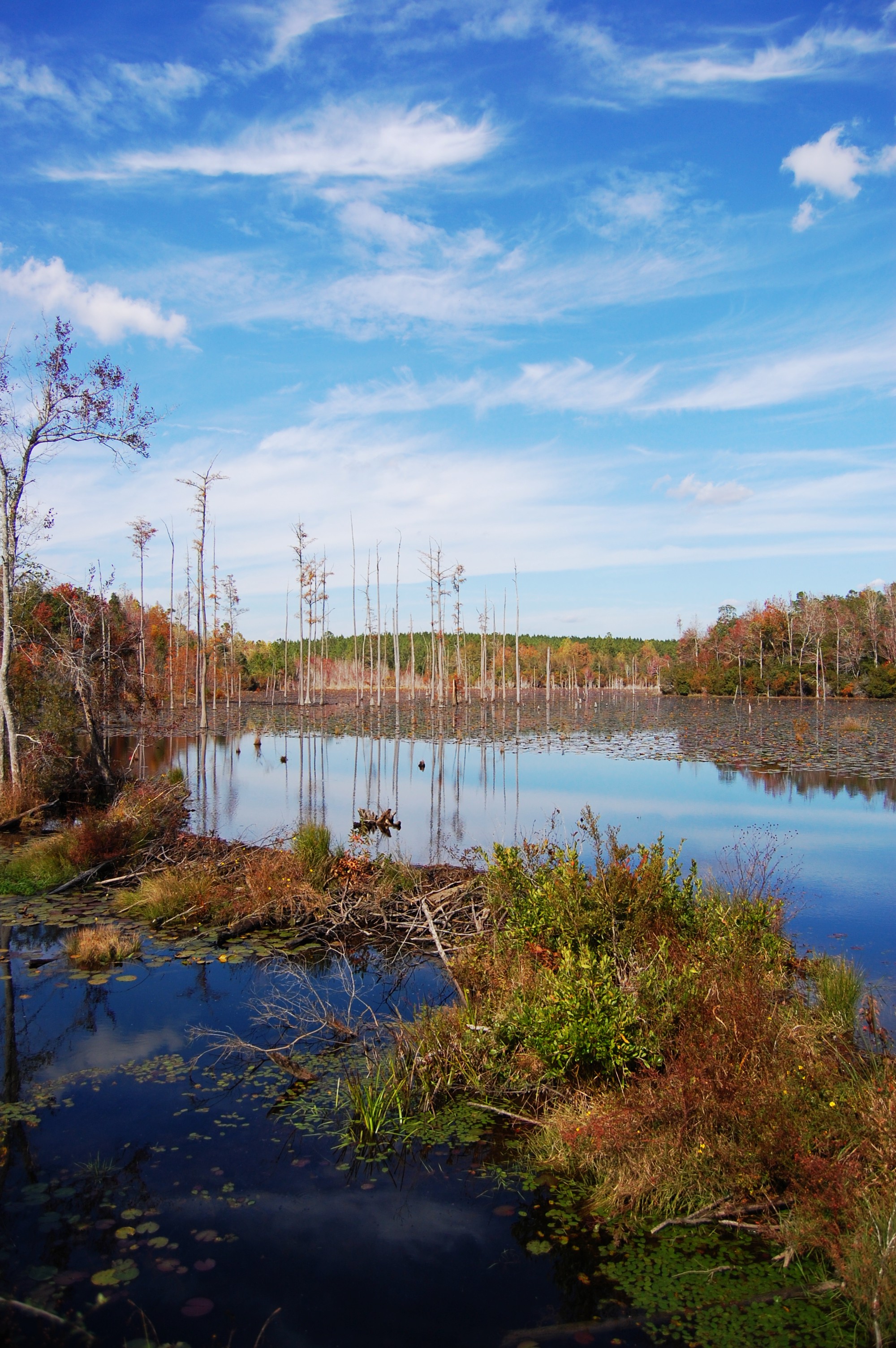
Pascagoula River, MS
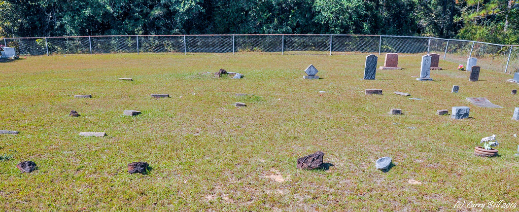
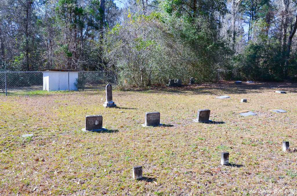
Pond and trees
DSC_9497.jpg
DSC_0132.jpg
DSC_0187.jpg
DSC_1740.jpg
DSC_1585.jpg
DSC_9494.jpg
DSC_1732.jpg
DSC_1735.jpg

DSC_1614.jpg
DSC_1731.jpg
DSC_1733.jpg
DSC_8669.jpg
aaa-7994

aaa-8395

aaa-8749

DSC_2185.jpg
DSC_0544.jpg

DSCN0068.jpg

DSCN0067.jpg
Topographic Map of Megs Rd, Lucedale, MS, USA
Find elevation by address:

Places near Megs Rd, Lucedale, MS, USA:
Grain Elevator Rd, Lucedale, MS, USA
144 Jerry Fork Rd
George County
Red Creek
203 Live Oak Dr
178 Lamar St
Pascagoula River
9700 Cheyenne Rd
17804 River Walk Dr
17301 River Pl
18500 Jason Calvin Ln
5701 Jeremy Ln
19000 Busby Rd
16640 Old River Rd
16640 Old River Rd
16640 Old River Rd
17405 Spring Lake Dr W
5428 Dogwood Dr
2900 Holden Dr
10876 O Neal Rd
Recent Searches:
- Elevation of Corso Fratelli Cairoli, 35, Macerata MC, Italy
- Elevation of Tallevast Rd, Sarasota, FL, USA
- Elevation of 4th St E, Sonoma, CA, USA
- Elevation of Black Hollow Rd, Pennsdale, PA, USA
- Elevation of Oakland Ave, Williamsport, PA, USA
- Elevation of Pedrógão Grande, Portugal
- Elevation of Klee Dr, Martinsburg, WV, USA
- Elevation of Via Roma, Pieranica CR, Italy
- Elevation of Tavkvetili Mountain, Georgia
- Elevation of Hartfords Bluff Cir, Mt Pleasant, SC, USA