Elevation of Lucedale, MS, USA
Location: United States > Mississippi > George County >
Longitude: -88.590023
Latitude: 30.9251869
Elevation: 87m / 285feet
Barometric Pressure: 100KPa
Elevation Map:
Satellite Map:
Related Photos:
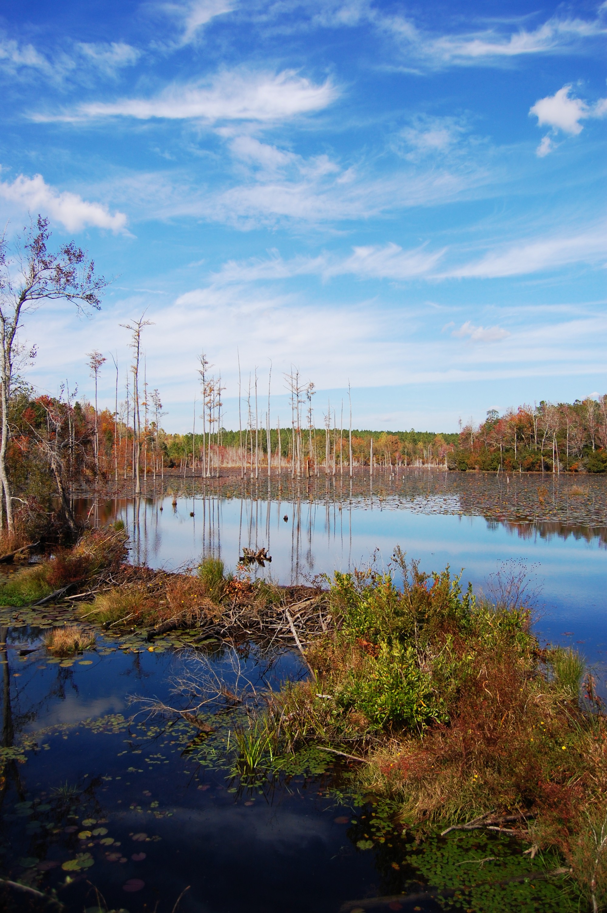
Pond and trees

DSC_2049.jpg
DSC_3297.jpg

DSC_9497.jpg

DSC_1652.jpg

DSC_1652.jpg

DSC_1720.jpg

DSC_1720.jpg

DSCN5568.jpg
DSC_0544.jpg

DSC_2137.jpg

DSC_1667.jpg

DSC_1585.jpg
DSC_1740.jpg

DSC_1667.jpg
DSC_1732.jpg

DSC_1732.jpg
DSC_2073.jpg
DSC_1735.jpg
DSCN5550.jpg
DSC_1723.jpg
Topographic Map of Lucedale, MS, USA
Find elevation by address:

Places in Lucedale, MS, USA:
Places near Lucedale, MS, USA:
Saturn Ln, Wilmer, AL, USA
MS-, Lucedale, MS, USA
Amberwood Lane
Polktown Rd, Lucedale, MS, USA
15555 Randolph Foster Rd
Wilmer
B C Market
23210 Ramie Farm Rd
Huckleberry Lane
Hurley
Triple C Package Store
4150 Brannon Rd
4150 Brannon Rd
3815 Private Road 304
9610 Chunchula Georgetown Rd
8100 Pecan Ridge Dr
9325 Georgetown Hills Rd N
9950 Jamaica Dr S
9950 Jamaica Dr S
9950 Jamaica Dr S
Recent Searches:
- Elevation of Corso Fratelli Cairoli, 35, Macerata MC, Italy
- Elevation of Tallevast Rd, Sarasota, FL, USA
- Elevation of 4th St E, Sonoma, CA, USA
- Elevation of Black Hollow Rd, Pennsdale, PA, USA
- Elevation of Oakland Ave, Williamsport, PA, USA
- Elevation of Pedrógão Grande, Portugal
- Elevation of Klee Dr, Martinsburg, WV, USA
- Elevation of Via Roma, Pieranica CR, Italy
- Elevation of Tavkvetili Mountain, Georgia
- Elevation of Hartfords Bluff Cir, Mt Pleasant, SC, USA