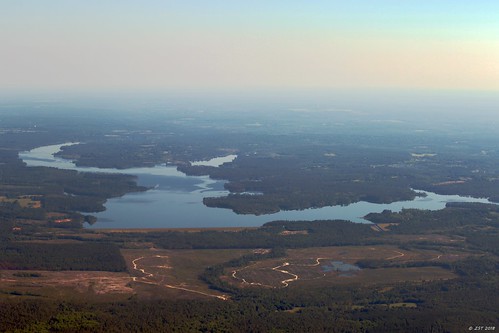
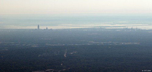
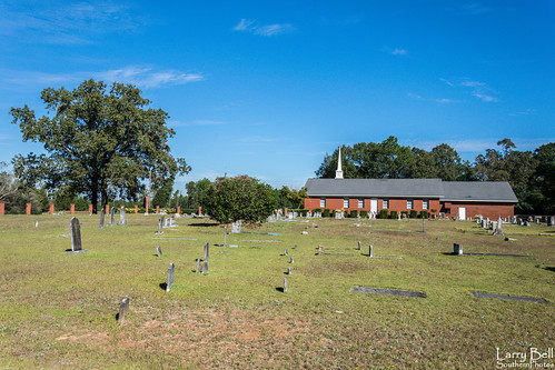
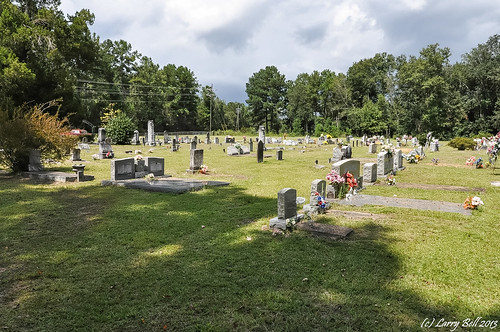
Elevation of Randolph Foster Rd, Wilmer, AL, USA
Location: United States > Alabama > Mobile County > Wilmer >
Longitude: -88.412497
Latitude: 30.7521441
Elevation: 44m / 144feet
Barometric Pressure: 101KPa
Related Photos:
Topographic Map of Randolph Foster Rd, Wilmer, AL, USA
Find elevation by address:

Places near Randolph Foster Rd, Wilmer, AL, USA:
Amberwood Lane
MS-, Lucedale, MS, USA
23210 Ramie Farm Rd
11304 County Rd 72
Hurley
Triple C Package Store
Huckleberry Lane
Scenic Hill
Harmon Williams Rd, Mobile, AL, USA
10950c Calvert Rd
8100 Pecan Ridge Dr
9685 Howells Ferry Rd
2320 Sky Vista Dr
9470 Scenic Hills Dr
2000 Campfire Dr
Polktown Rd, Lucedale, MS, USA
10050 Dominion Dr N
9059 Howells Ferry Rd
9860 Shadow Wood Dr
3805 Lakefront Dr W
Recent Searches:
- Elevation of Corso Fratelli Cairoli, 35, Macerata MC, Italy
- Elevation of Tallevast Rd, Sarasota, FL, USA
- Elevation of 4th St E, Sonoma, CA, USA
- Elevation of Black Hollow Rd, Pennsdale, PA, USA
- Elevation of Oakland Ave, Williamsport, PA, USA
- Elevation of Pedrógão Grande, Portugal
- Elevation of Klee Dr, Martinsburg, WV, USA
- Elevation of Via Roma, Pieranica CR, Italy
- Elevation of Tavkvetili Mountain, Georgia
- Elevation of Hartfords Bluff Cir, Mt Pleasant, SC, USA


