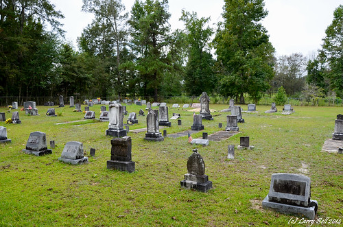
Elevation of Spring Lake Dr W, Vancleave, MS, USA
Location: United States > Mississippi > Jackson County > Vancleave >
Longitude: -88.701848
Latitude: 30.5937911
Elevation: -10000m / -32808feet
Barometric Pressure: 295KPa
Related Photos:
Topographic Map of Spring Lake Dr W, Vancleave, MS, USA
Find elevation by address:

Places near Spring Lake Dr W, Vancleave, MS, USA:
5428 Dogwood Dr
18500 Jason Calvin Ln
5701 Jeremy Ln
16100 Ms-57
19000 Busby Rd
16640 Old River Rd
16640 Old River Rd
16640 Old River Rd
MS-57, Vancleave, MS, USA
Vancleave
2900 Holden Dr
17301 River Pl
17804 River Walk Dr
4801 Old Dees Dr
13105 Little Bluff Dr
12840 Paige Bayou Rd
14504 Ramsay Oaks Dr
14608 Nature Trail Central
14601 Nature Trail Central
11401 Paige Bayou Rd
Recent Searches:
- Elevation of Corso Fratelli Cairoli, 35, Macerata MC, Italy
- Elevation of Tallevast Rd, Sarasota, FL, USA
- Elevation of 4th St E, Sonoma, CA, USA
- Elevation of Black Hollow Rd, Pennsdale, PA, USA
- Elevation of Oakland Ave, Williamsport, PA, USA
- Elevation of Pedrógão Grande, Portugal
- Elevation of Klee Dr, Martinsburg, WV, USA
- Elevation of Via Roma, Pieranica CR, Italy
- Elevation of Tavkvetili Mountain, Georgia
- Elevation of Hartfords Bluff Cir, Mt Pleasant, SC, USA


