Elevation of River Walk Dr, Vancleave, MS, USA
Location: United States > Mississippi > Jackson County > Vancleave >
Longitude: -88.642093
Latitude: 30.5989371
Elevation: 27m / 89feet
Barometric Pressure: 101KPa
Elevation Map:
Satellite Map:
Related Photos:
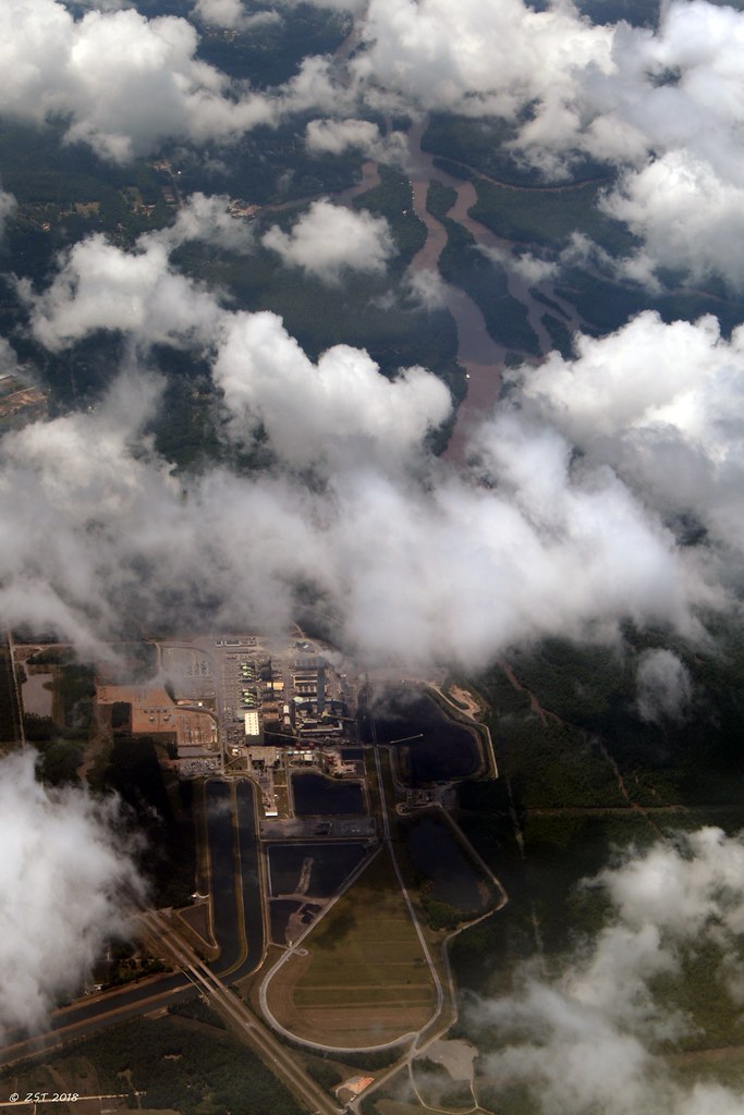
Plant Daniel, Mississippi Power

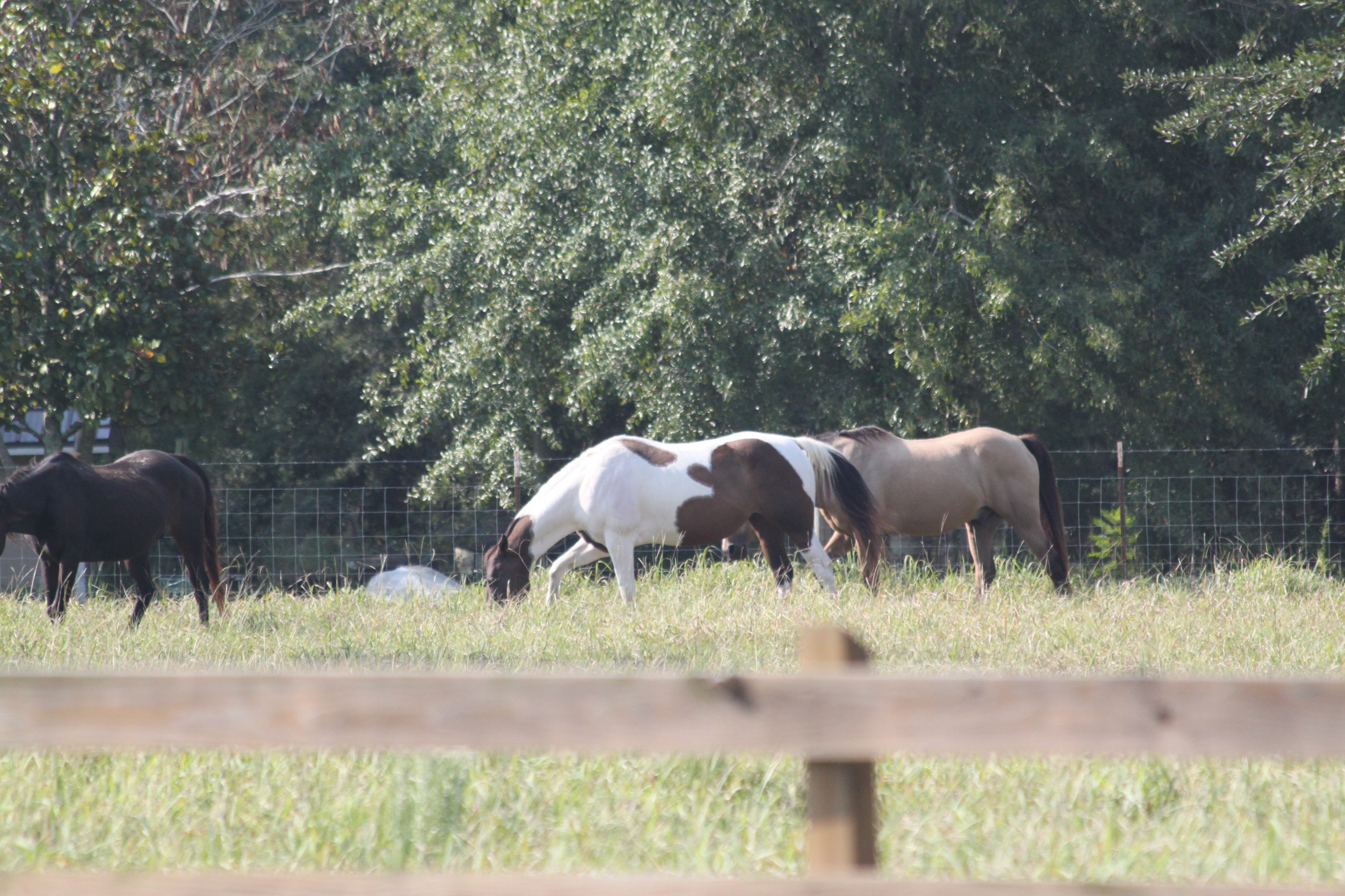
DHSXC @ East Central Inv

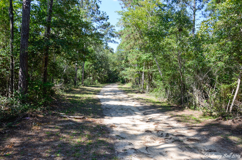
Jonican Bayou
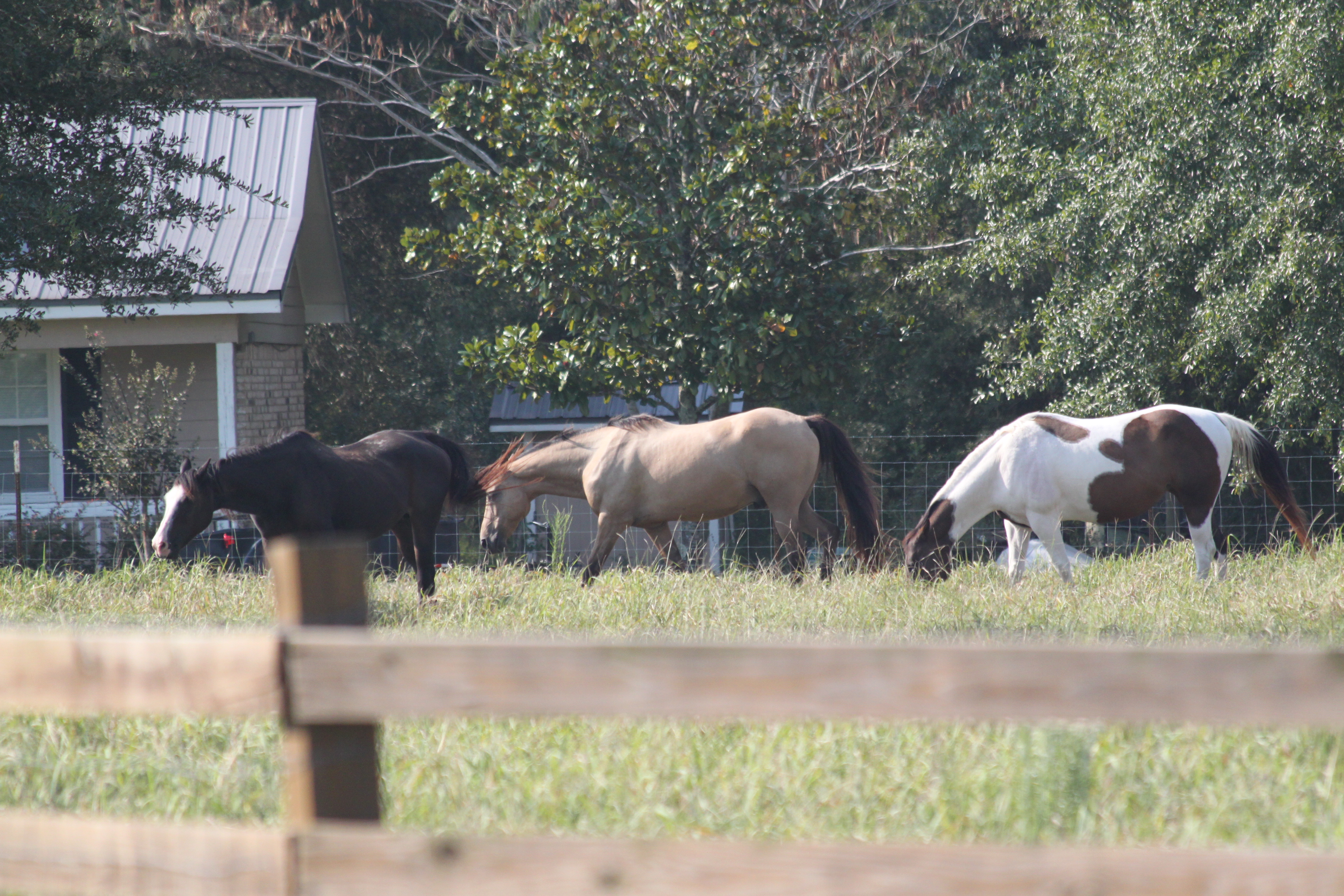
DHSXC @ East Central Inv
DHSXC @ East Central Inv
_DSC0040.jpg
_DSC0041.jpg
_DSC0747.jpg
DSC_8669.jpg
_DSC0748.jpg
_DSC0749.jpg

_DSC0706.jpg

_DSC0741.jpg
_DSC0750.jpg
DSC_5125.jpg
DSC_5091.jpg
Topographic Map of River Walk Dr, Vancleave, MS, USA
Find elevation by address:

Places near River Walk Dr, Vancleave, MS, USA:
17301 River Pl
16640 Old River Rd
16640 Old River Rd
16640 Old River Rd
2900 Holden Dr
18500 Jason Calvin Ln
17405 Spring Lake Dr W
5428 Dogwood Dr
5701 Jeremy Ln
Pascagoula River
MS-57, Vancleave, MS, USA
19000 Busby Rd
12840 Paige Bayou Rd
Vancleave
4801 Old Dees Dr
16100 Ms-57
11401 Paige Bayou Rd
Red Creek
13105 Little Bluff Dr
10009 Islewood Dr
Recent Searches:
- Elevation of Corso Fratelli Cairoli, 35, Macerata MC, Italy
- Elevation of Tallevast Rd, Sarasota, FL, USA
- Elevation of 4th St E, Sonoma, CA, USA
- Elevation of Black Hollow Rd, Pennsdale, PA, USA
- Elevation of Oakland Ave, Williamsport, PA, USA
- Elevation of Pedrógão Grande, Portugal
- Elevation of Klee Dr, Martinsburg, WV, USA
- Elevation of Via Roma, Pieranica CR, Italy
- Elevation of Tavkvetili Mountain, Georgia
- Elevation of Hartfords Bluff Cir, Mt Pleasant, SC, USA