Elevation of McKale Peak, Fraser-Fort George H, BC V0J, Canada
Location: Canada > British Columbia > Fraser-fort George > Fraser-fort George H >
Longitude: -120.0325
Latitude: 53.3538888
Elevation: 2341m / 7680feet
Barometric Pressure: 76KPa
Elevation Map:
Satellite Map:
Related Photos:
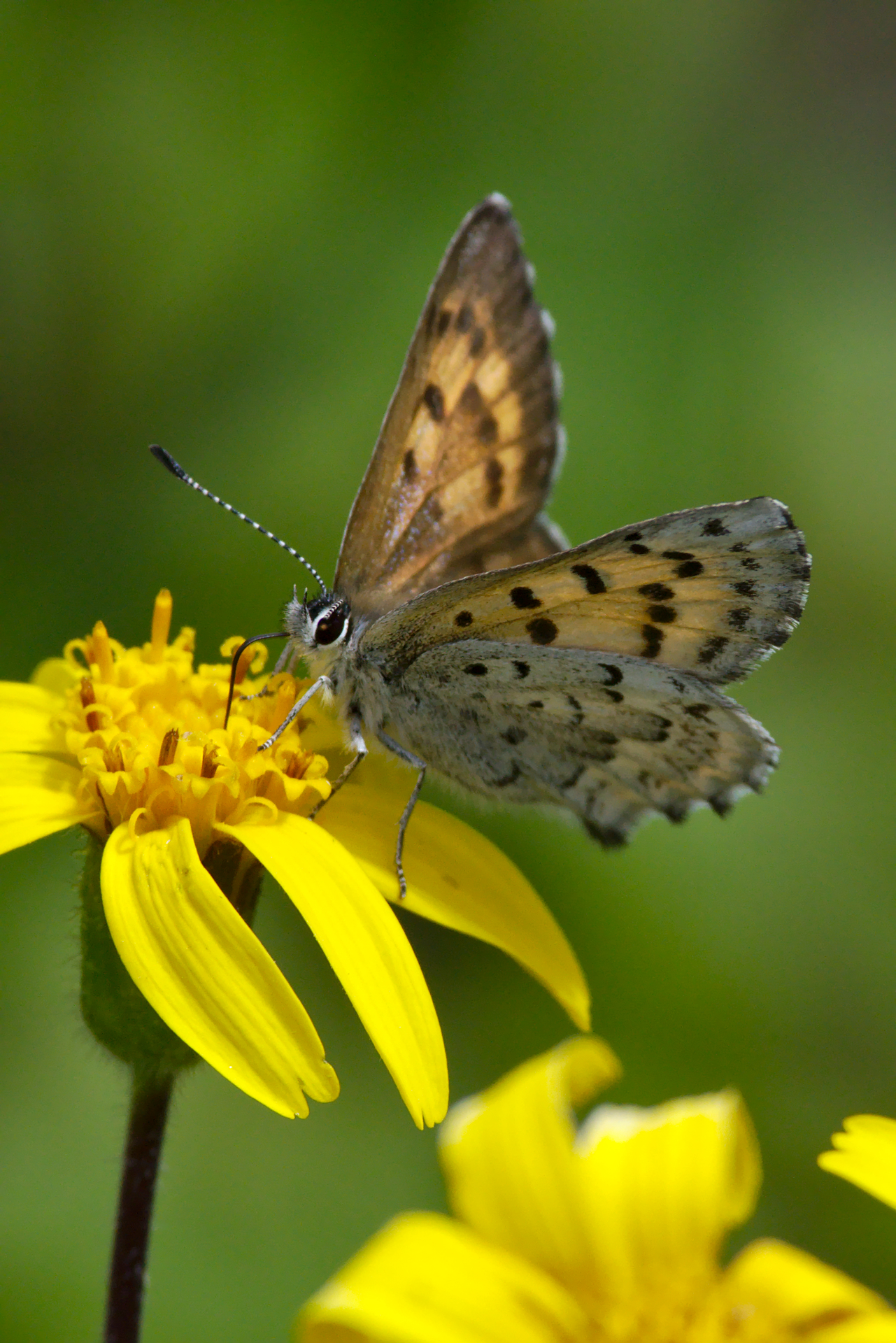
Mariposa Copper - Lycaena mariposa - female nectaring on arnica
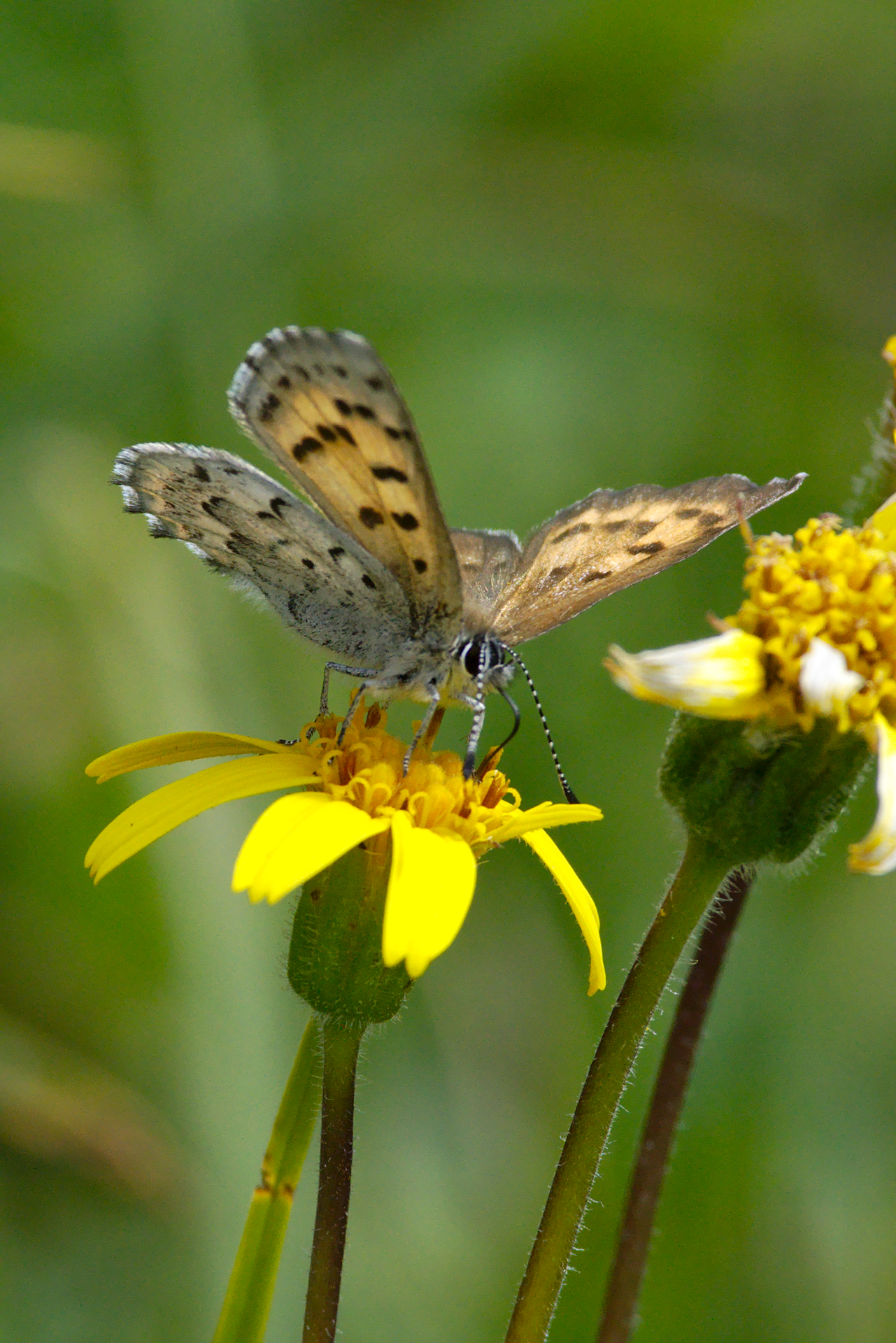
Mariposa Copper - Lycaena mariposa - female venter
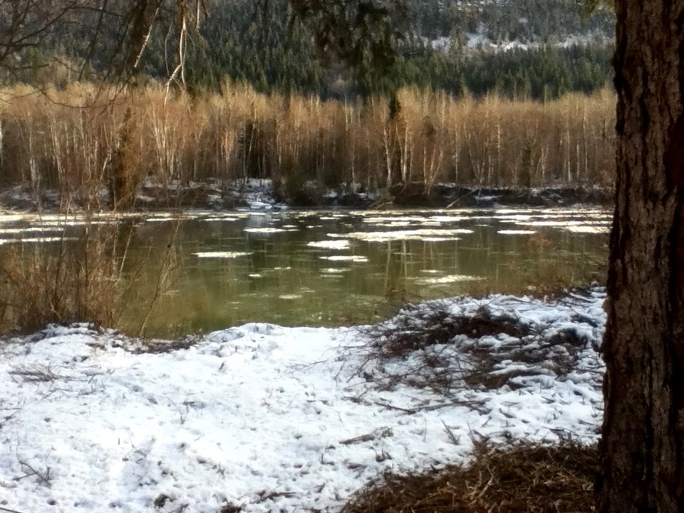
Fraser River ice floes

View north from McBride Peak
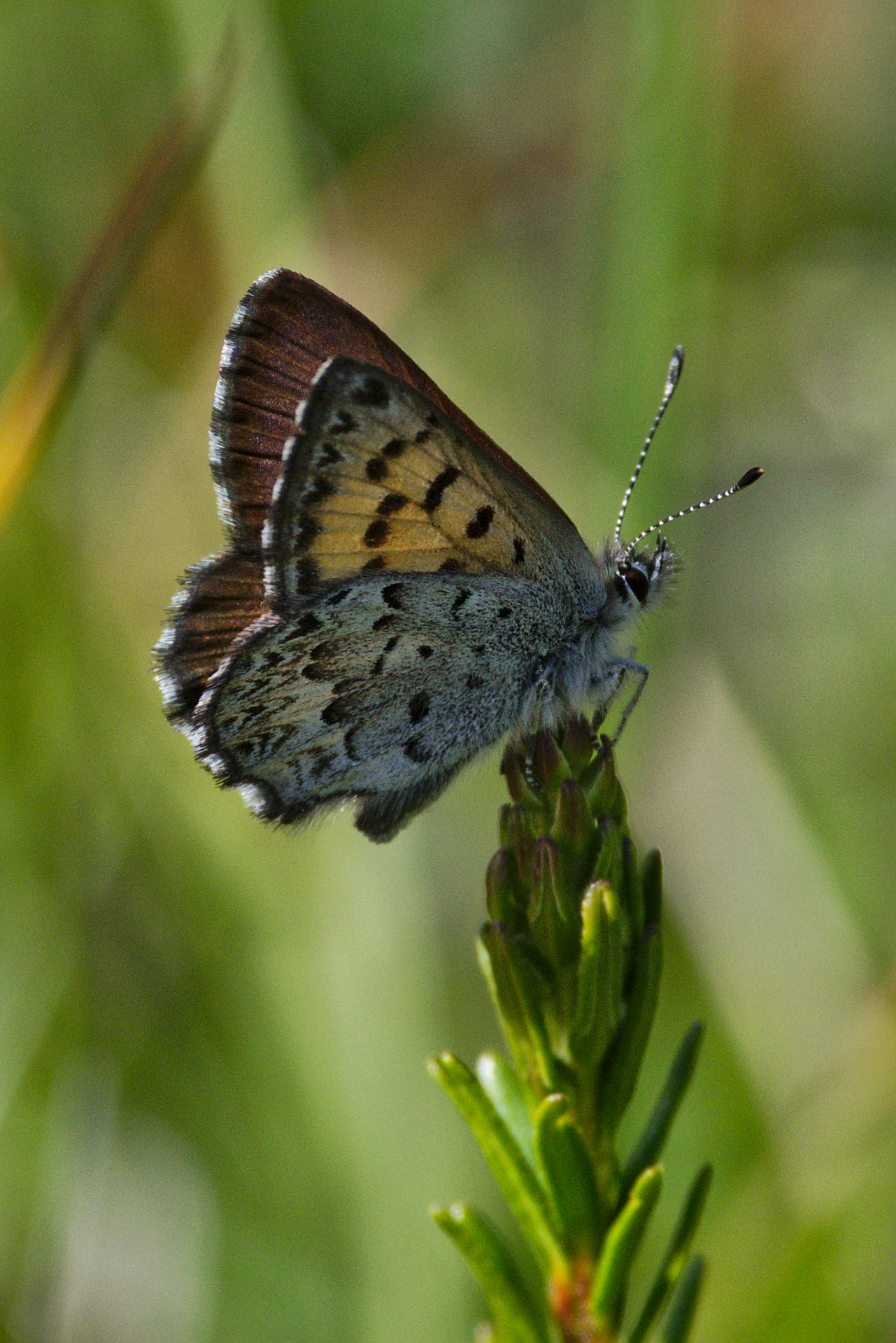
Mariposa Copper - Lycaena mariposa - male - ventral wing detail
Topographic Map of McKale Peak, Fraser-Fort George H, BC V0J, Canada
Find elevation by address:

Places near McKale Peak, Fraser-Fort George H, BC V0J, Canada:
Mcbride
Gaelic Peak
Vista Dome Peak
Chalco Mountain
Reel Peak
Mount Storrs
Millerite Peak
Tindill Peak
Mount Messer
Fraser-fort George H
Celtic Peak
Kristi Peak
Dasher Peak
Vixen Peak
Insignia Peak
North Star Mountain
Wells Gray Provincial Park
Clearwater Lake
Thompson-nicola A
Horsefly Lake
Recent Searches:
- Elevation of Corso Fratelli Cairoli, 35, Macerata MC, Italy
- Elevation of Tallevast Rd, Sarasota, FL, USA
- Elevation of 4th St E, Sonoma, CA, USA
- Elevation of Black Hollow Rd, Pennsdale, PA, USA
- Elevation of Oakland Ave, Williamsport, PA, USA
- Elevation of Pedrógão Grande, Portugal
- Elevation of Klee Dr, Martinsburg, WV, USA
- Elevation of Via Roma, Pieranica CR, Italy
- Elevation of Tavkvetili Mountain, Georgia
- Elevation of Hartfords Bluff Cir, Mt Pleasant, SC, USA