Elevation of Dasher Peak, Cariboo C, BC V0K, Canada
Location: Canada > British Columbia > Cariboo > Cariboo C >
Longitude: -120.67194
Latitude: 53.2347222
Elevation: 2451m / 8041feet
Barometric Pressure: 75KPa
Elevation Map:
Satellite Map:
Related Photos:
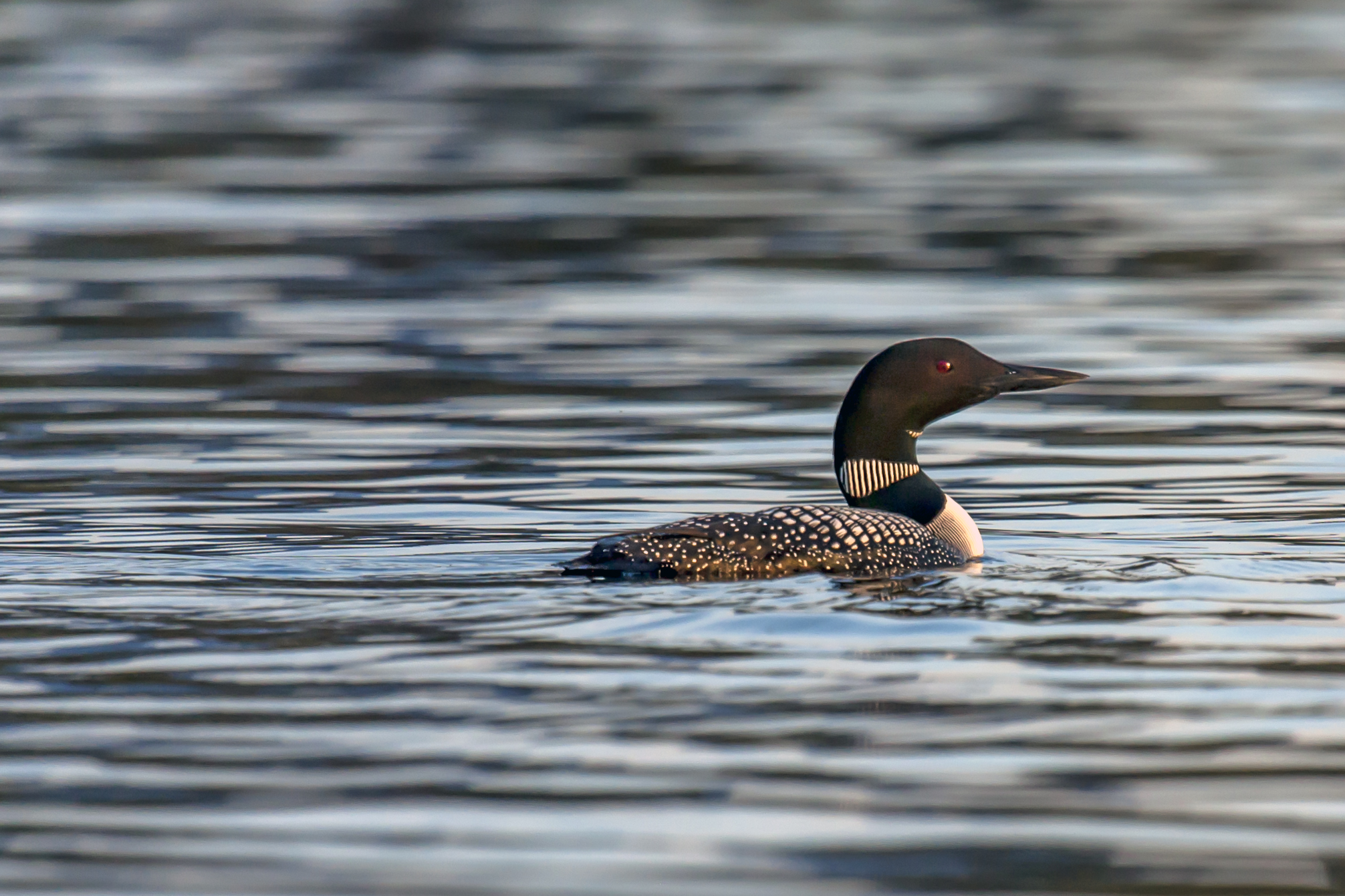
Lone Loon

Bowron Lakes 2008 -- Loon

Isaac Lake on the Bowron lakes chain
Topographic Map of Dasher Peak, Cariboo C, BC V0K, Canada
Find elevation by address:

Places near Dasher Peak, Cariboo C, BC V0K, Canada:
Vixen Peak
Kristi Peak
North Star Mountain
Insignia Peak
Mount Storrs
Millerite Peak
Mcbride
Mckale Peak
Gaelic Peak
Horsefly Lake
Vista Dome Peak
Chalco Mountain
Reel Peak
Fraser-fort George H
Wells Gray Provincial Park
Tindill Peak
Clearwater Lake
Gotchen Lake
Celtic Peak
Mount Messer
Recent Searches:
- Elevation of Corso Fratelli Cairoli, 35, Macerata MC, Italy
- Elevation of Tallevast Rd, Sarasota, FL, USA
- Elevation of 4th St E, Sonoma, CA, USA
- Elevation of Black Hollow Rd, Pennsdale, PA, USA
- Elevation of Oakland Ave, Williamsport, PA, USA
- Elevation of Pedrógão Grande, Portugal
- Elevation of Klee Dr, Martinsburg, WV, USA
- Elevation of Via Roma, Pieranica CR, Italy
- Elevation of Tavkvetili Mountain, Georgia
- Elevation of Hartfords Bluff Cir, Mt Pleasant, SC, USA