Elevation of Gaelic Peak, Fraser-Fort George H, BC V0J, Canada
Location: Canada > British Columbia > Fraser-fort George > Fraser-fort George H >
Longitude: -119.8525
Latitude: 53.2977777
Elevation: 2668m / 8753feet
Barometric Pressure: 73KPa
Elevation Map:
Satellite Map:
Related Photos:
IMG_2055
IMG_2054
IMG_2053
IMG_2051
20100514_114137
20100514_113440
20100514_114123
IMG_2052
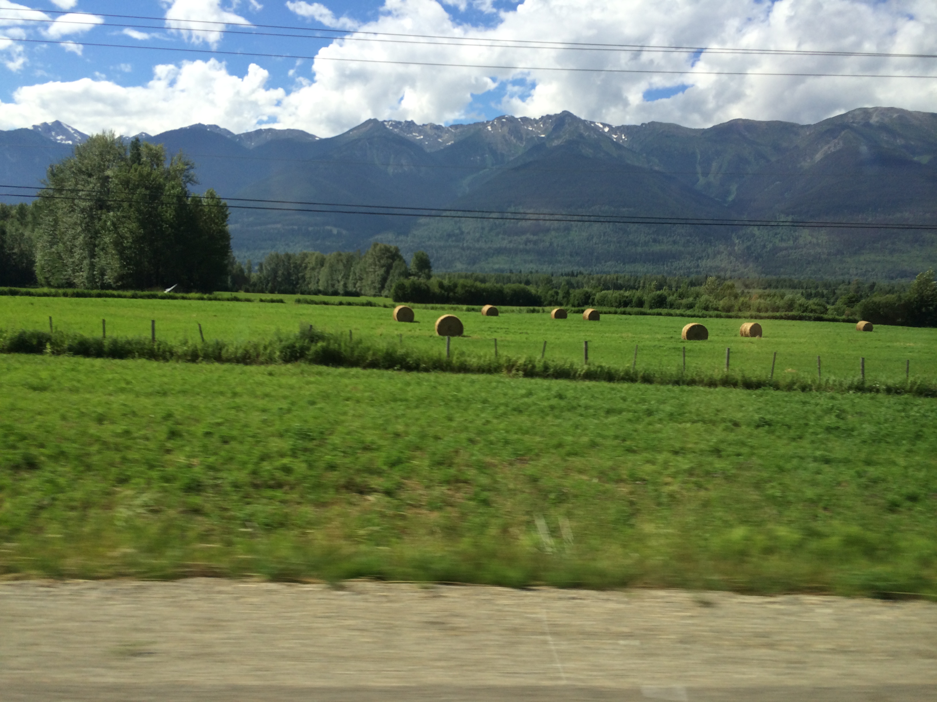
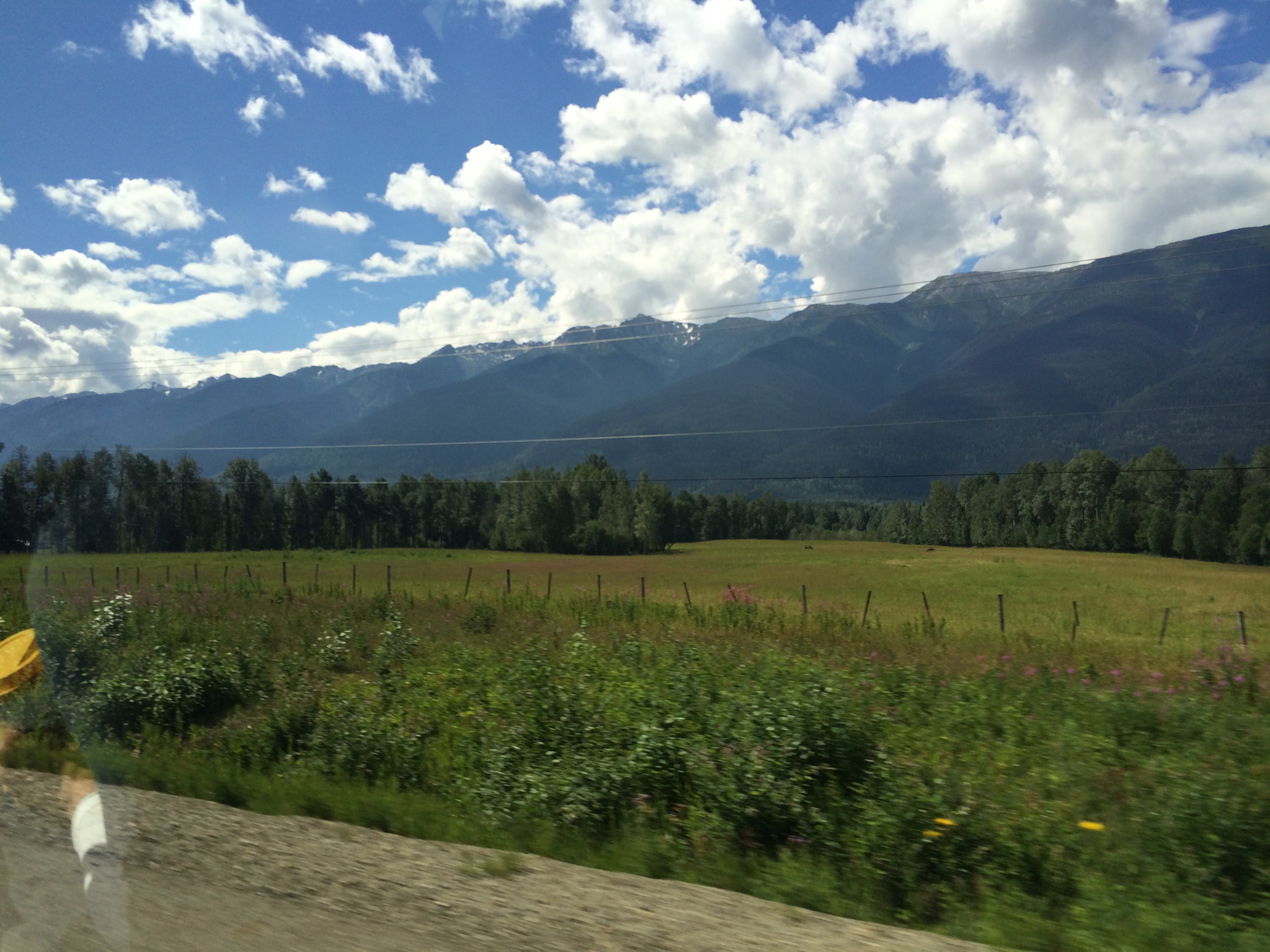
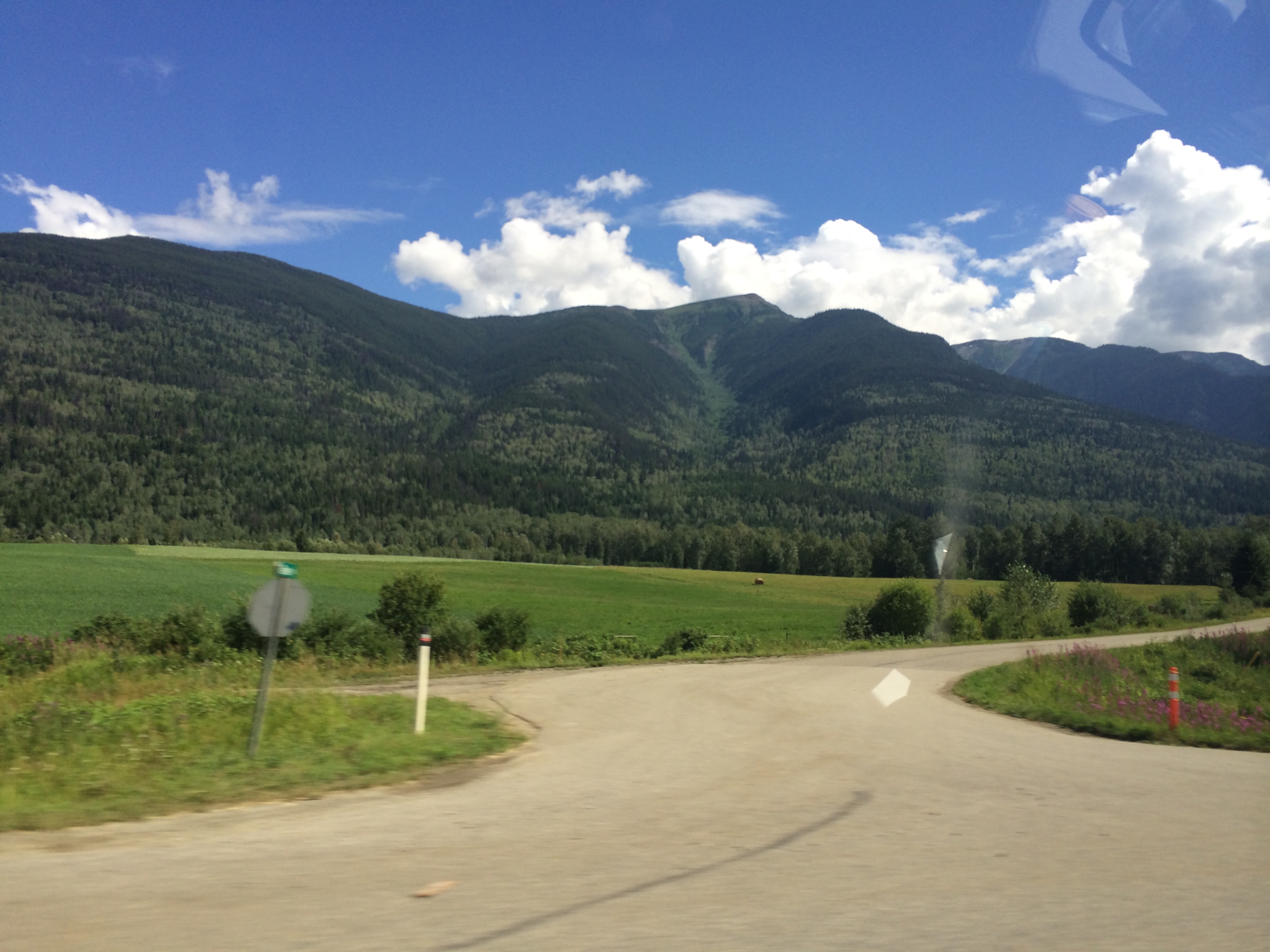
Highway 16 - British Columbia
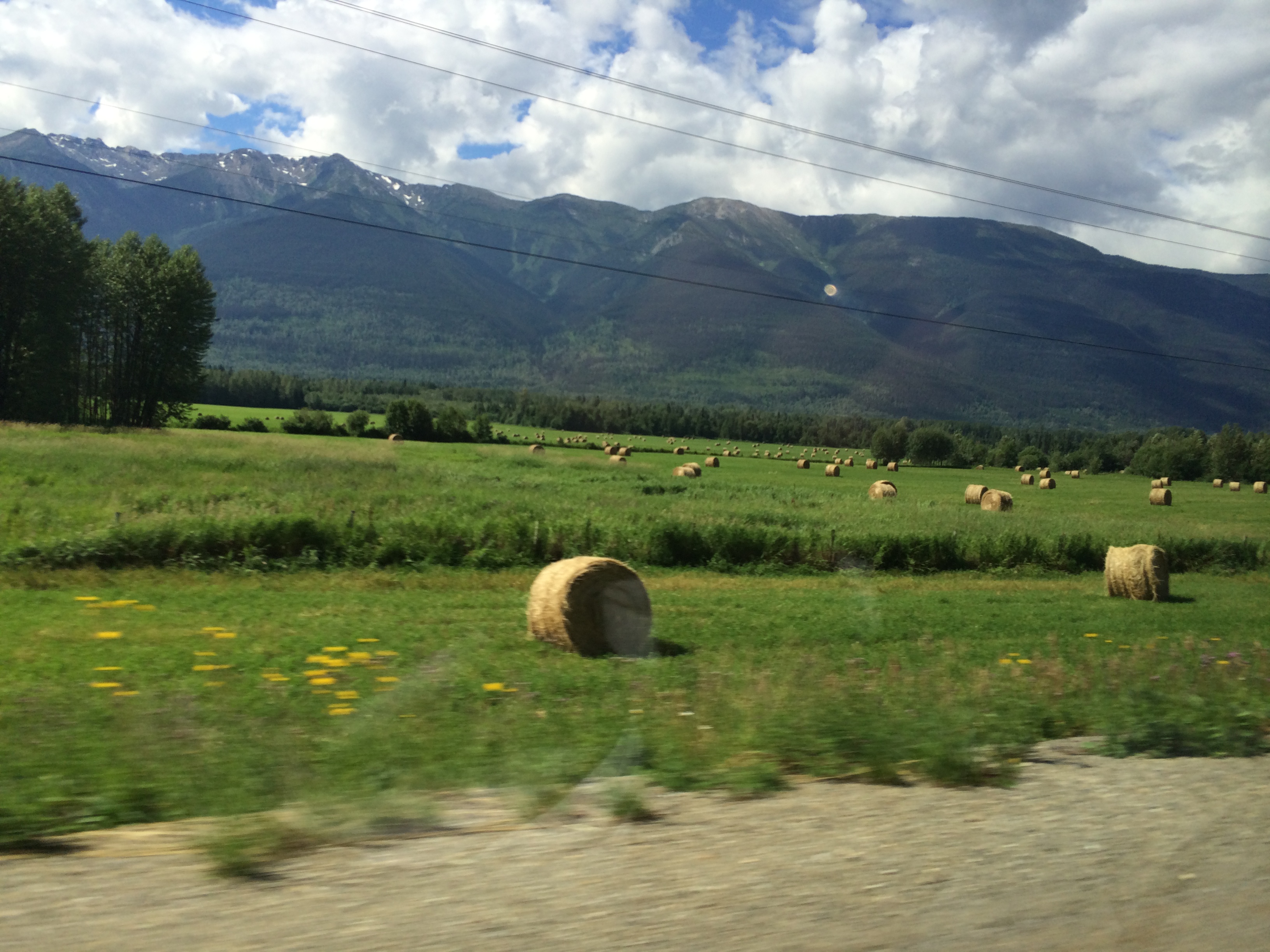
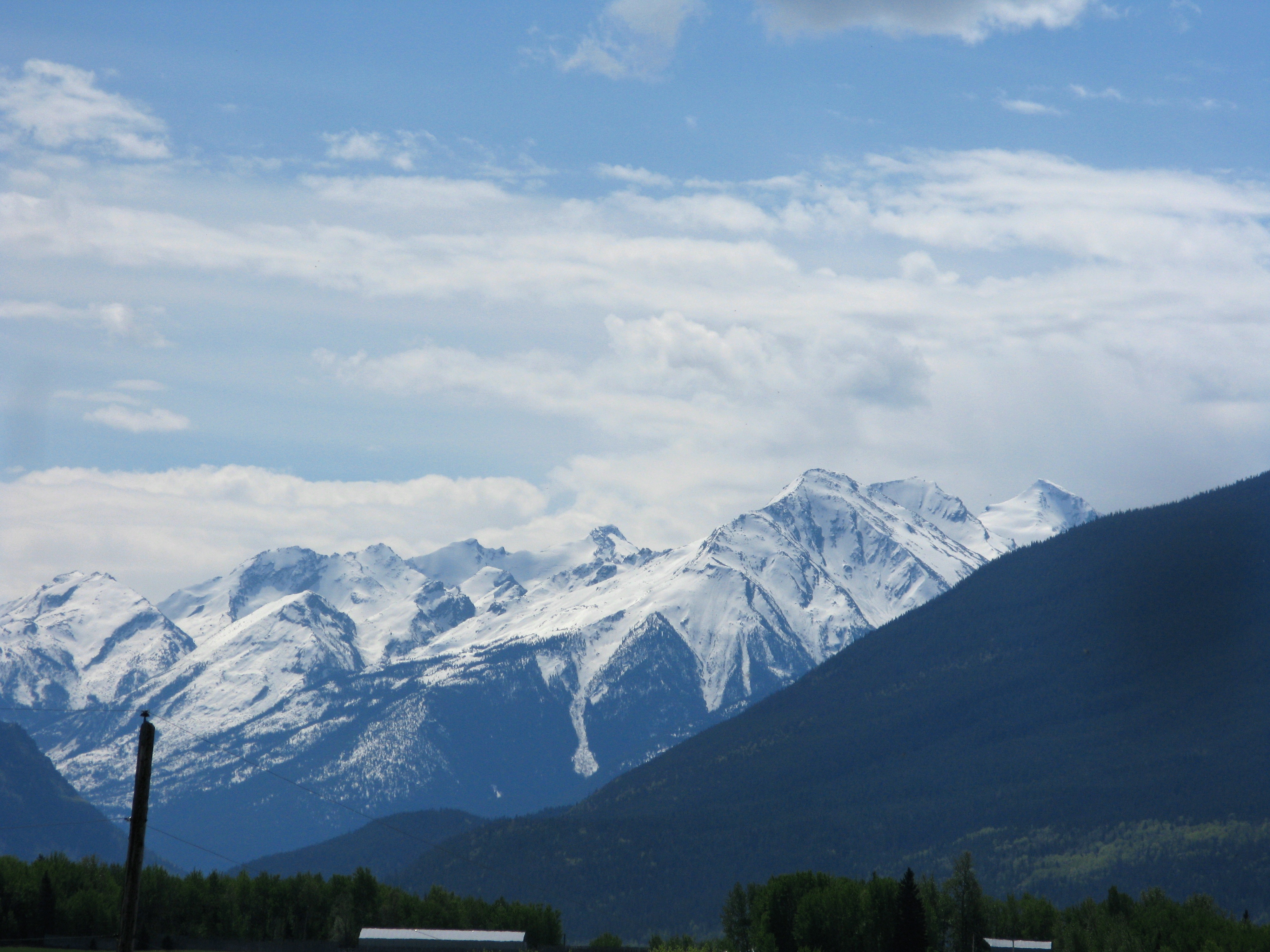
Highway 16 - British Columbia
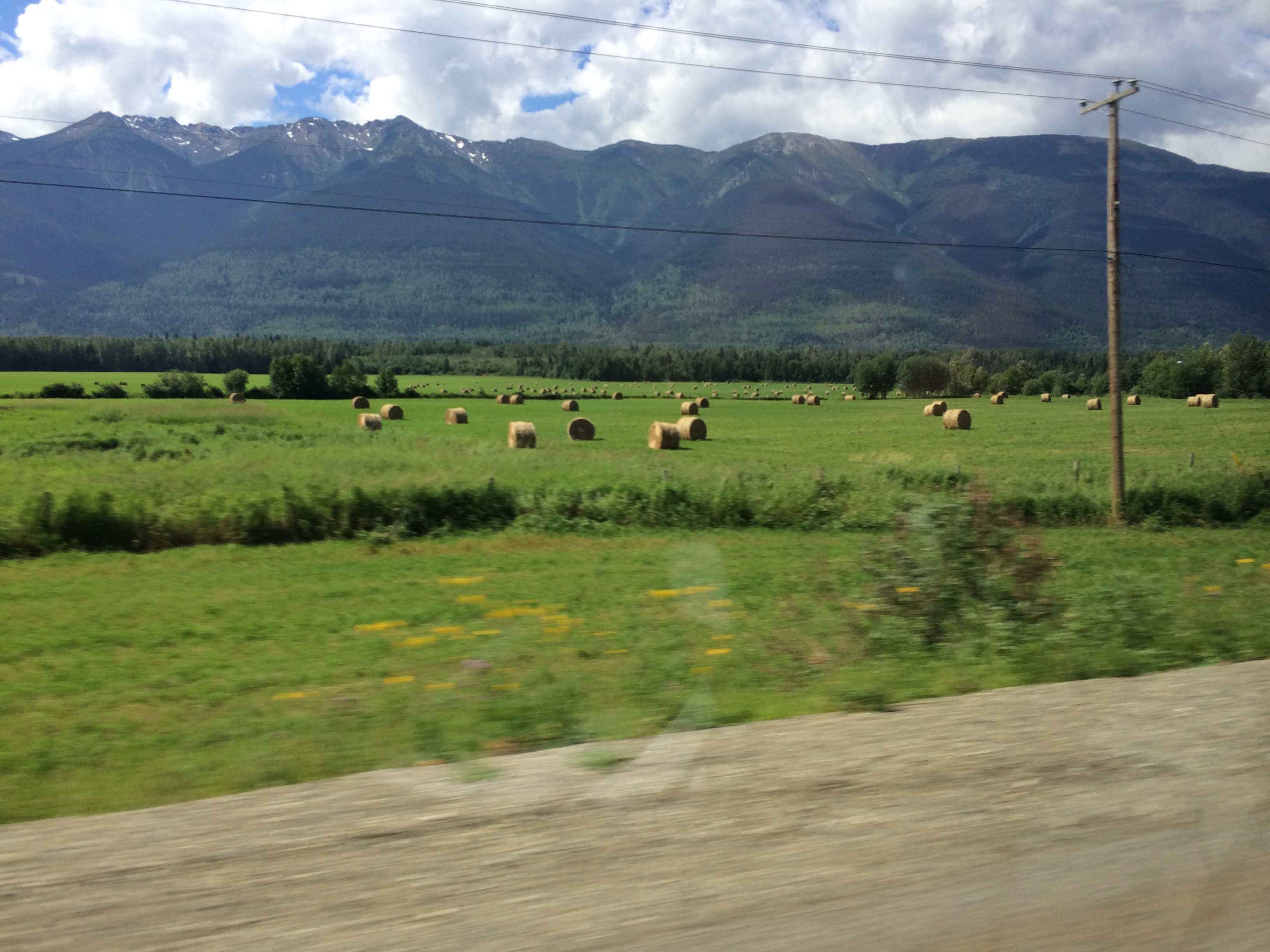
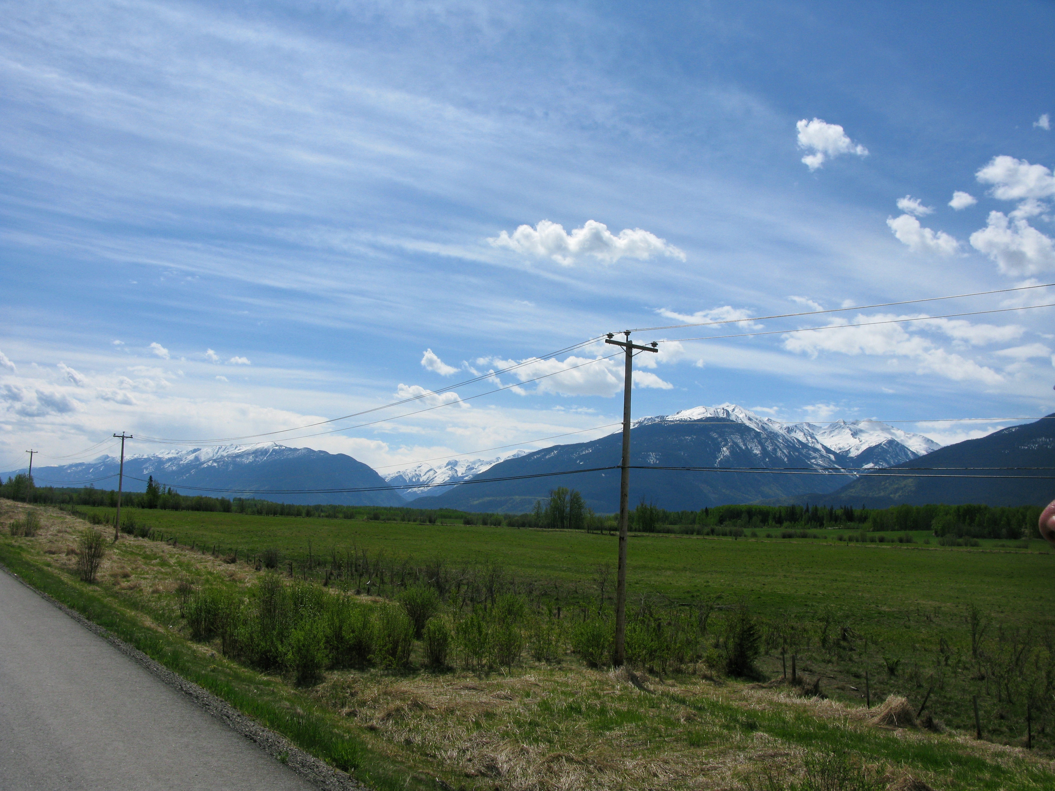
Highway 16 - British Columbia
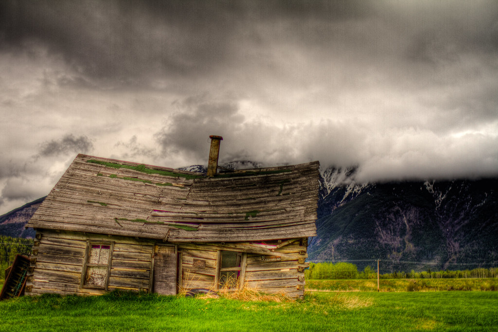
rural_decay_HDR_IMG_1827_8_9.jpg
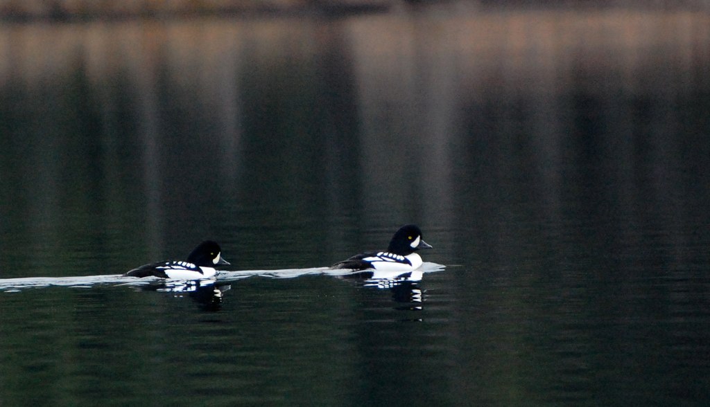
Barrow's Goldeneye
Topographic Map of Gaelic Peak, Fraser-Fort George H, BC V0J, Canada
Find elevation by address:

Places near Gaelic Peak, Fraser-Fort George H, BC V0J, Canada:
Vista Dome Peak
Reel Peak
Chalco Mountain
Mckale Peak
Tindill Peak
Mcbride
Mount Messer
Celtic Peak
Fraser-fort George H
Mount Storrs
Millerite Peak
Kristi Peak
Dasher Peak
Vixen Peak
Wells Gray Provincial Park
Insignia Peak
North Star Mountain
Clearwater Lake
Thompson-nicola A
Murtle Lake
Recent Searches:
- Elevation of Corso Fratelli Cairoli, 35, Macerata MC, Italy
- Elevation of Tallevast Rd, Sarasota, FL, USA
- Elevation of 4th St E, Sonoma, CA, USA
- Elevation of Black Hollow Rd, Pennsdale, PA, USA
- Elevation of Oakland Ave, Williamsport, PA, USA
- Elevation of Pedrógão Grande, Portugal
- Elevation of Klee Dr, Martinsburg, WV, USA
- Elevation of Via Roma, Pieranica CR, Italy
- Elevation of Tavkvetili Mountain, Georgia
- Elevation of Hartfords Bluff Cir, Mt Pleasant, SC, USA