Elevation of Mc Clellan, Iuka, KS, USA
Location: United States > Kansas > Pratt County > > Iuka >
Longitude: -98.7360576
Latitude: 37.7292076
Elevation: 599m / 1965feet
Barometric Pressure: 0KPa
Related Photos:
DSC03205

Big Sky

Rough Road Ahead
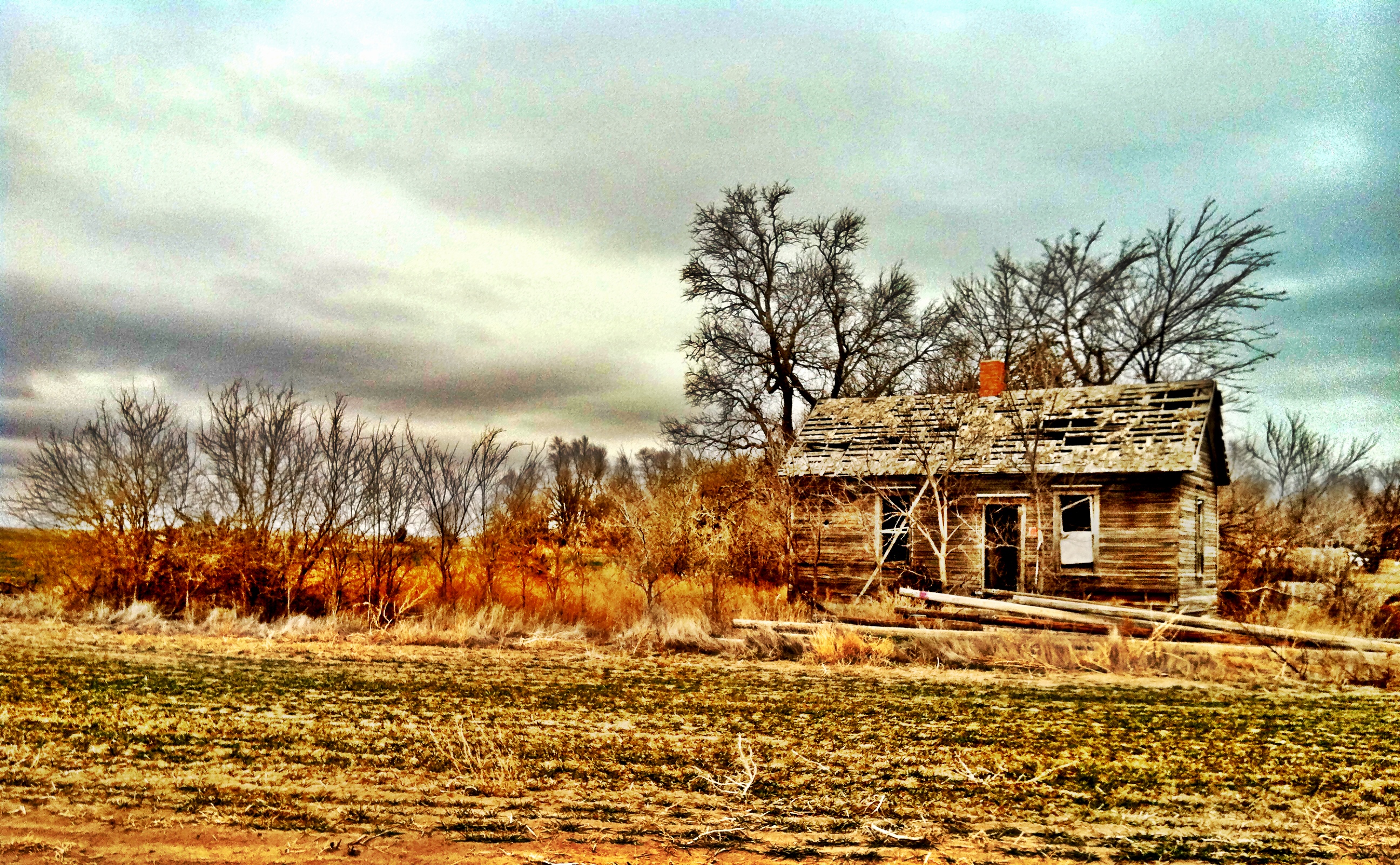
Old Farm House

Leaning Tree

snake in the grass

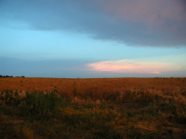
Kansas Sunrise

Oil Well Pump Jack

Corn Field
Morning on the farm
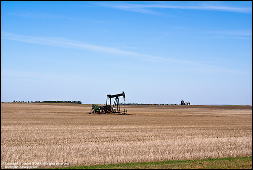
Oil Well Pump Jack
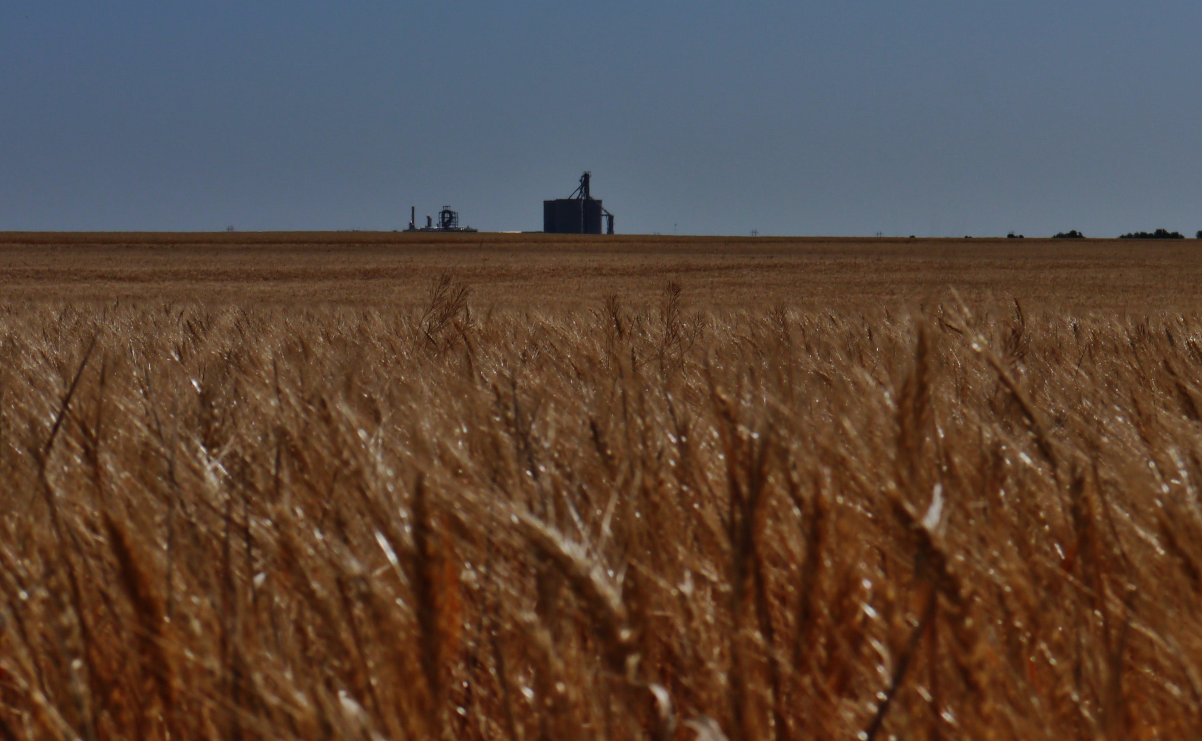
52812-005, Amber Waves of Grain

Kansas Skyline

combine sunset 2
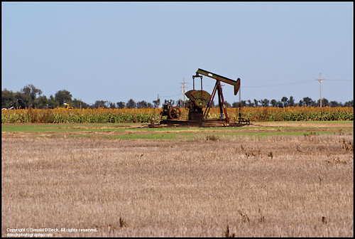
Oil Well Pump Jack
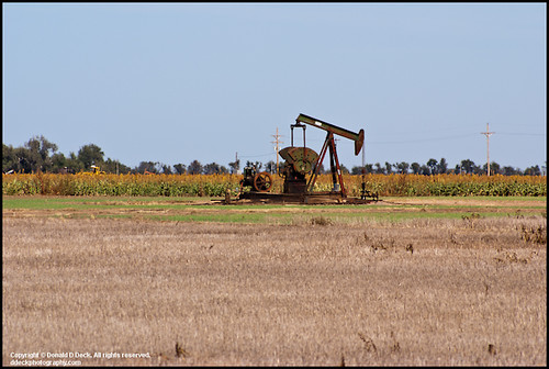
Oil Well Pump Jack
sky 2
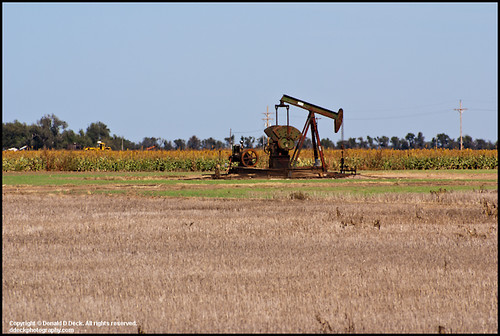
Oil Well Pump Jack

combine sunset
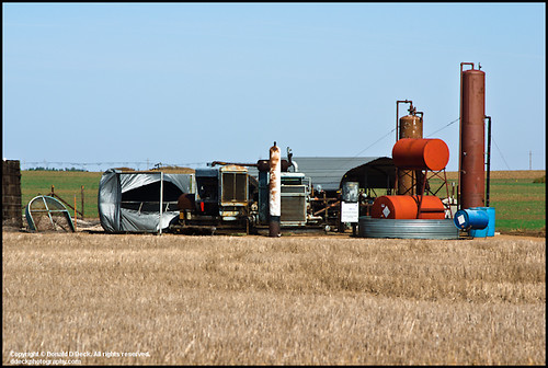
Oil Field Storage Tanks
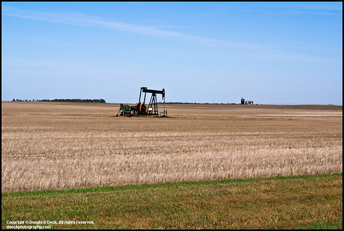
Oil Well Pump Jack
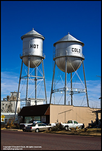
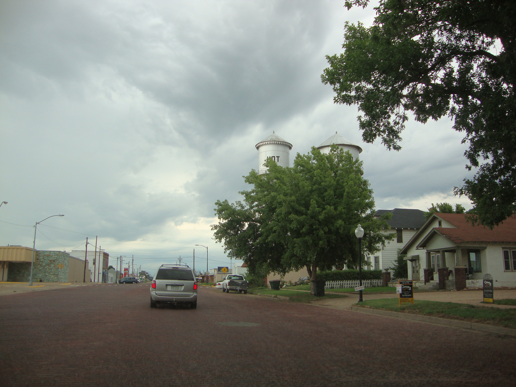
Twin Water Towers
Topographic Map of Mc Clellan, Iuka, KS, USA
Find elevation by address:

Places near Mc Clellan, Iuka, KS, USA:
Iuka
7, KS, USA
700 N Main St
200 N Main St
523 E 1st St
200 S Main St
209 S Taylor St
Pratt
S Oak St, Pratt, KS, USA
200 Iowa Ave
700 S Main St
711 S Pine St
900 S Main St
900 S Main St
200 Se 10th St
10th St, Pratt, KS, USA
9, KS, USA
Pratt County
12, KS, USA
N Cullison Main St, Cullison, KS, USA
Recent Searches:
- Elevation map of Litang County, Sichuan, China
- Elevation map of Madoi County, Qinghai, China
- Elevation of 3314, Ohio State Route 114, Payne, Paulding County, Ohio, 45880, USA
- Elevation of Sarahills Drive, Saratoga, Santa Clara County, California, 95070, USA
- Elevation of Town of Bombay, Franklin County, New York, USA
- Elevation of 9, Convent Lane, Center Moriches, Suffolk County, New York, 11934, USA
- Elevation of Saint Angelas Convent, 9, Convent Lane, Center Moriches, Suffolk County, New York, 11934, USA
- Elevation of 131st Street Southwest, Mukilteo, Snohomish County, Washington, 98275, USA
- Elevation of 304, Harrison Road, Naples, Cumberland County, Maine, 04055, USA
- Elevation of 2362, Timber Ridge Road, Harrisburg, Cabarrus County, North Carolina, 28075, USA
- Elevation of Ridge Road, Marshalltown, Marshall County, Iowa, 50158, USA
- Elevation of 2459, Misty Shadows Drive, Pigeon Forge, Sevier County, Tennessee, 37862, USA
- Elevation of 8043, Brightwater Way, Spring Hill, Williamson County, Tennessee, 37179, USA
- Elevation of Starkweather Road, San Luis, Costilla County, Colorado, 81152, USA
- Elevation of 5277, Woodside Drive, Baton Rouge, East Baton Rouge Parish, Louisiana, 70808, USA
- Elevation of 1139, Curtin Street, Shepherd Park Plaza, Houston, Harris County, Texas, 77018, USA
- Elevation of 136, Sellers Lane, Repton, Monroe County, Alabama, 36475, USA
- Elevation of 12914, Elmington Drive, Lakewood Forest, Houston, Harris County, Texas, 77429, USA
- Elevation of 417, Camelot Drive, Statesville, Iredell County, North Carolina, 28625, USA
- Elevation of 5792, Wildridge Road, Avon, Eagle County, Colorado, 81620, USA