Elevation of Pratt, KS, USA
Location: United States > Kansas > Pratt County >
Longitude: -98.737591
Latitude: 37.6439071
Elevation: 577m / 1893feet
Barometric Pressure: 95KPa
Elevation Map:
Satellite Map:
Related Photos:
DSC03205
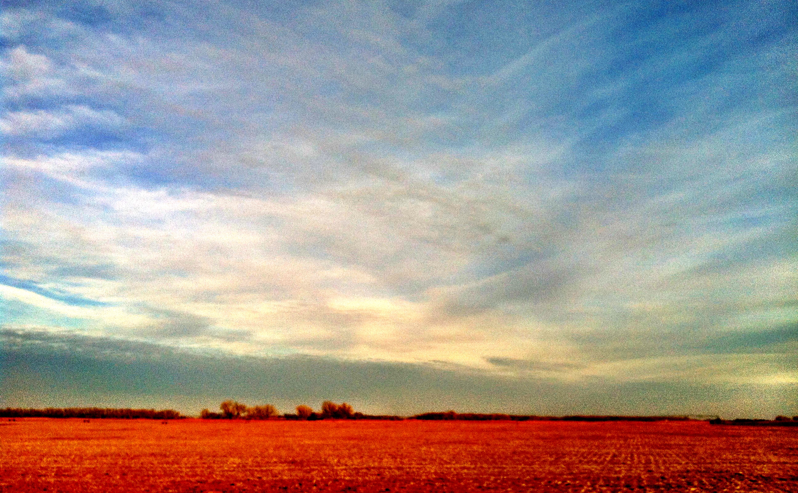
Big Sky
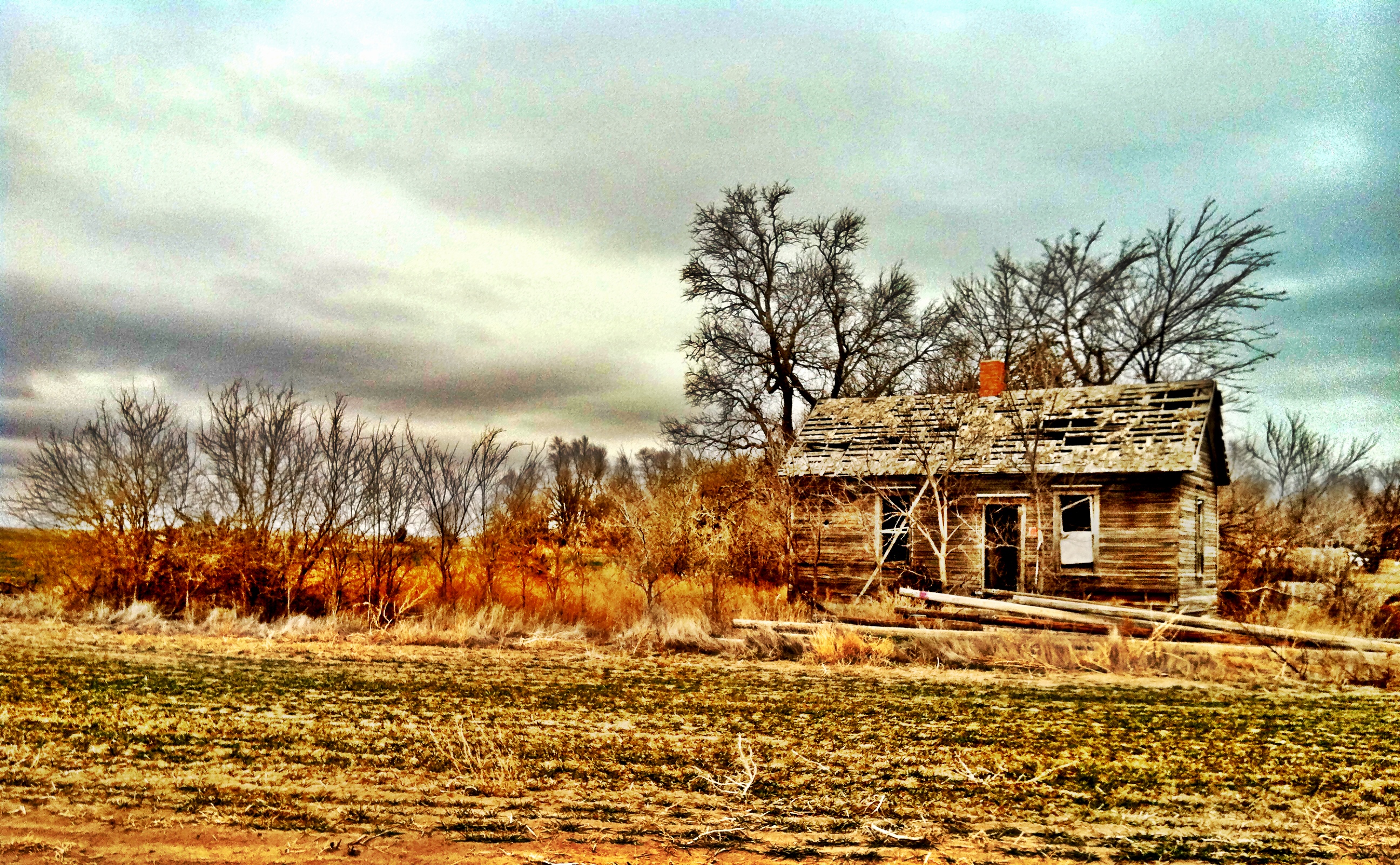
Old Farm House
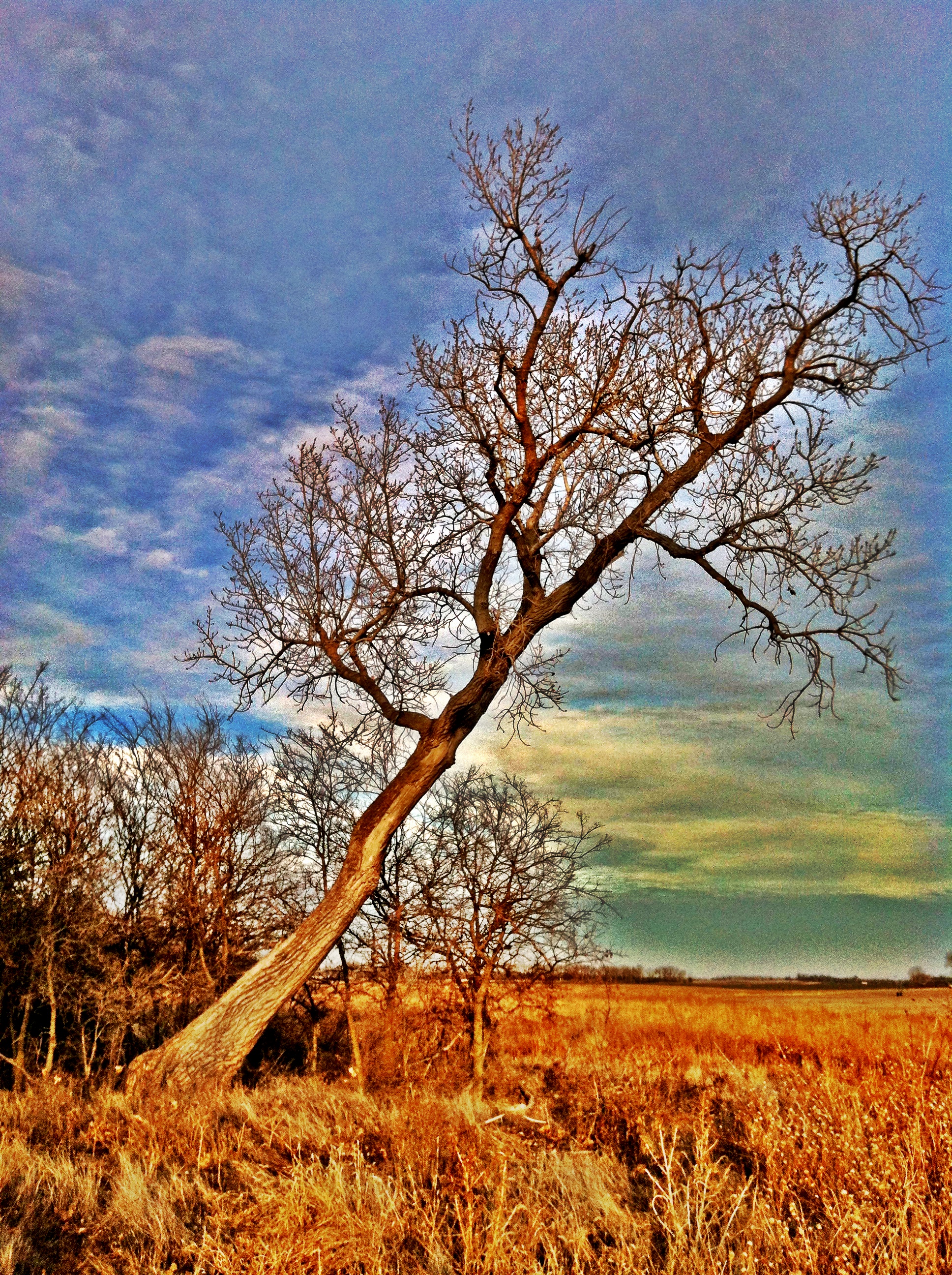
Leaning Tree
snake in the grass

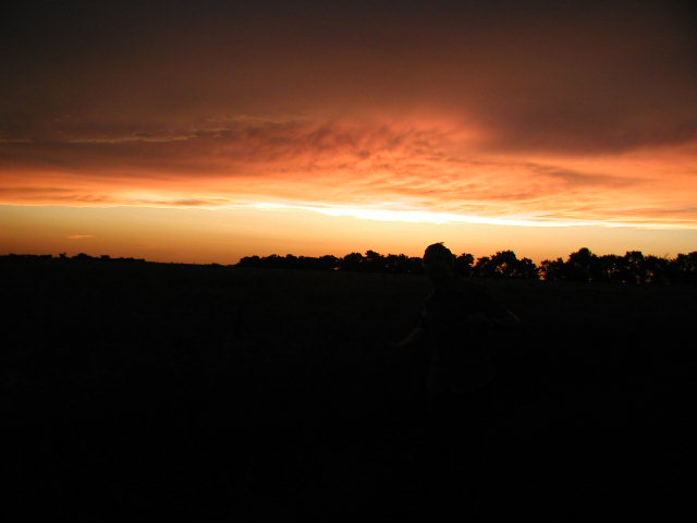
Kansas Sunrise
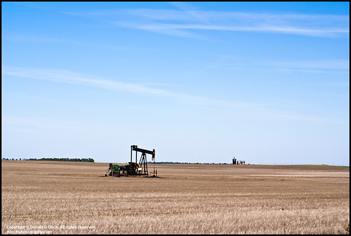
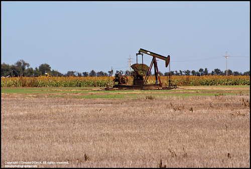
Oil Well Pump Jack

Corn Field
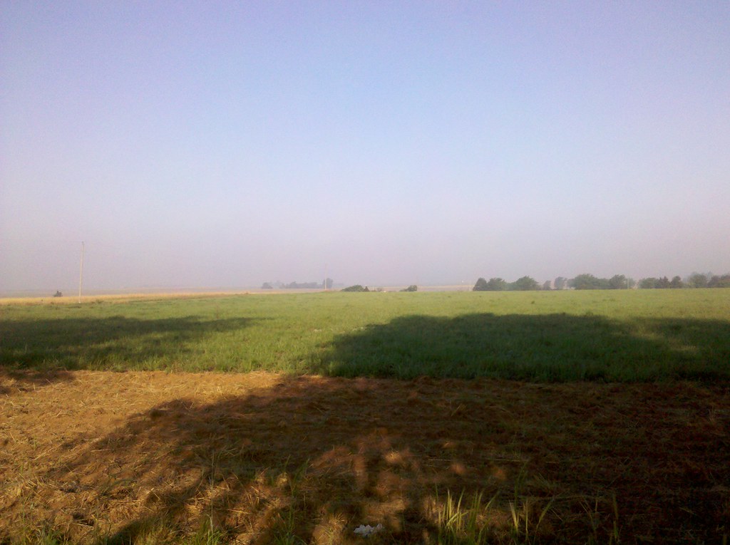
Morning on the farm
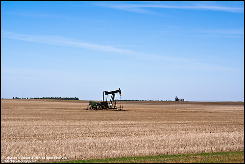
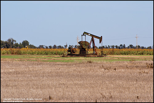
Oil Well Pump Jack
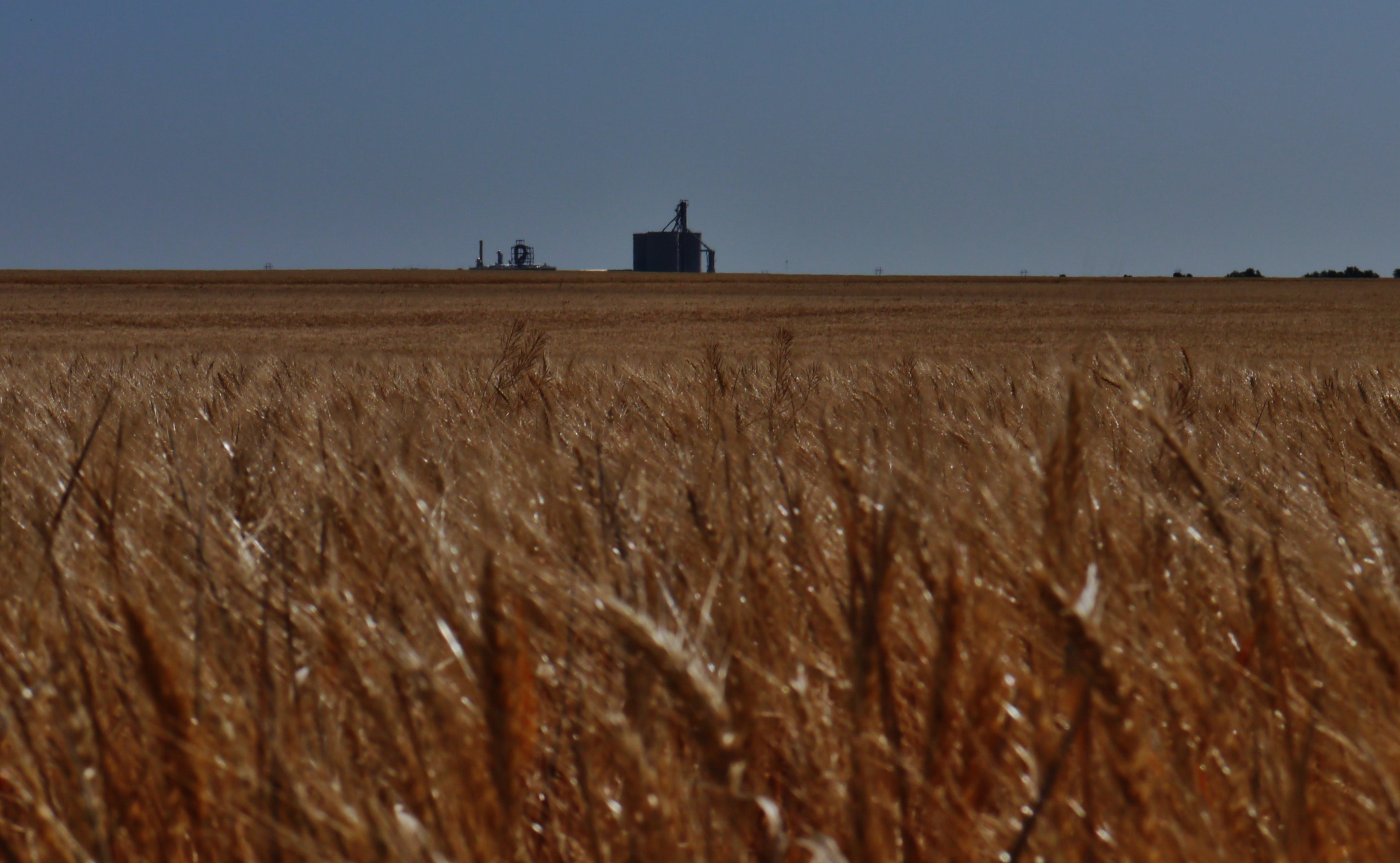
52812-005, Amber Waves of Grain

Kansas Skyline
combine sunset 2
Oil Well Pump Jack
Oil Well Pump Jack
sky 2
Oil Well Pump Jack
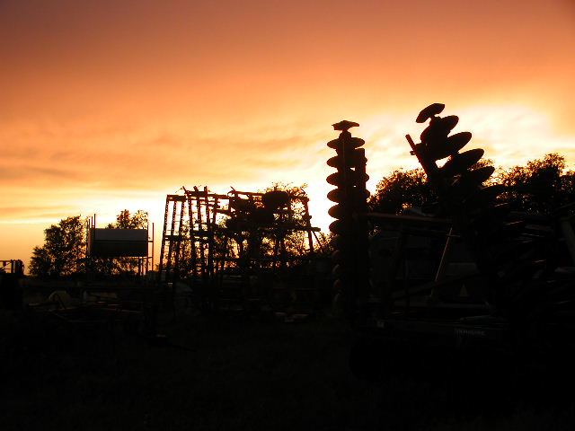
combine sunset
Oil Well Pump Jack
Oil Field Storage Tanks
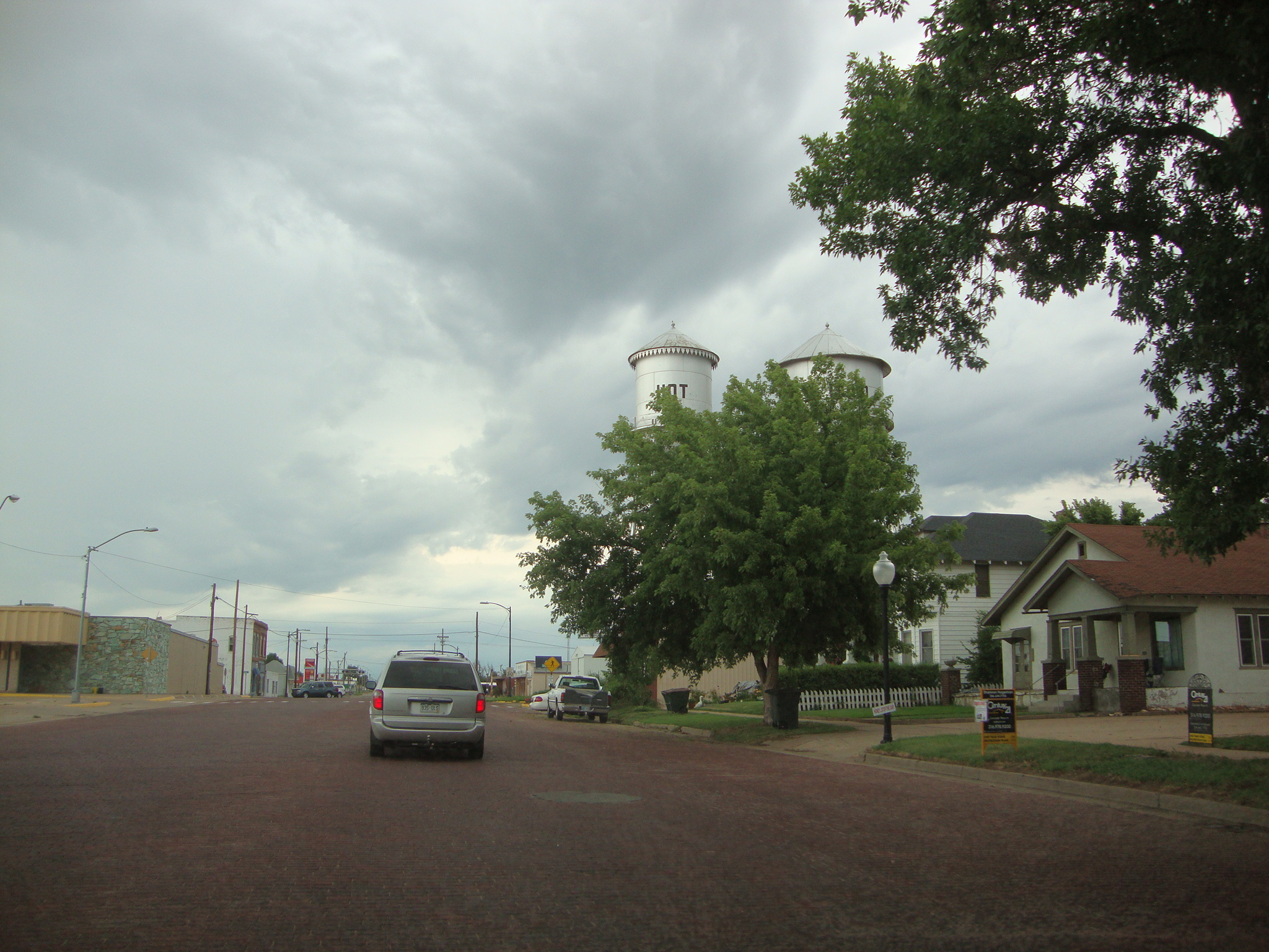
Twin Water Towers
Old Roberts - Parish Hotel Pratt Kansas
Topographic Map of Pratt, KS, USA
Find elevation by address:

Places in Pratt, KS, USA:
Places near Pratt, KS, USA:
S Oak St, Pratt, KS, USA
200 S Main St
200 N Main St
700 S Main St
523 E 1st St
711 S Pine St
900 S Main St
900 S Main St
209 S Taylor St
700 N Main St
200 Se 10th St
200 Iowa Ave
10th St, Pratt, KS, USA
Pratt County
Iuka
Mc Clellan, Iuka, KS, USA
12, KS, USA
7, KS, USA
9, KS, USA
N Cullison Main St, Cullison, KS, USA
Recent Searches:
- Elevation of Corso Fratelli Cairoli, 35, Macerata MC, Italy
- Elevation of Tallevast Rd, Sarasota, FL, USA
- Elevation of 4th St E, Sonoma, CA, USA
- Elevation of Black Hollow Rd, Pennsdale, PA, USA
- Elevation of Oakland Ave, Williamsport, PA, USA
- Elevation of Pedrógão Grande, Portugal
- Elevation of Klee Dr, Martinsburg, WV, USA
- Elevation of Via Roma, Pieranica CR, Italy
- Elevation of Tavkvetili Mountain, Georgia
- Elevation of Hartfords Bluff Cir, Mt Pleasant, SC, USA