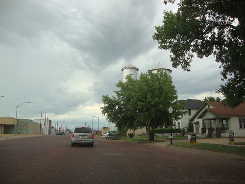
Elevation of 7, KS, USA
Location: United States > Kansas > Pratt County >
Longitude: -98.726092
Latitude: 37.7608931
Elevation: 591m / 1939feet
Barometric Pressure: 94KPa
Related Photos:
Topographic Map of 7, KS, USA
Find elevation by address:

Places in 7, KS, USA:
Places near 7, KS, USA:
Iuka
Mc Clellan, Iuka, KS, USA
700 N Main St
200 N Main St
523 E 1st St
200 S Main St
209 S Taylor St
Pratt
S Oak St, Pratt, KS, USA
200 Iowa Ave
700 S Main St
711 S Pine St
900 S Main St
900 S Main St
200 Se 10th St
10th St, Pratt, KS, USA
9, KS, USA
12, KS, USA
Pratt County
Stafford
Recent Searches:
- Elevation of Corso Fratelli Cairoli, 35, Macerata MC, Italy
- Elevation of Tallevast Rd, Sarasota, FL, USA
- Elevation of 4th St E, Sonoma, CA, USA
- Elevation of Black Hollow Rd, Pennsdale, PA, USA
- Elevation of Oakland Ave, Williamsport, PA, USA
- Elevation of Pedrógão Grande, Portugal
- Elevation of Klee Dr, Martinsburg, WV, USA
- Elevation of Via Roma, Pieranica CR, Italy
- Elevation of Tavkvetili Mountain, Georgia
- Elevation of Hartfords Bluff Cir, Mt Pleasant, SC, USA
