Elevation of Mariner Cir, Alligator Point, FL, USA
| Latitude | 29.9119322 |
|---|---|
| Longitude | -84.3657672 |
| Elevation | 5m / 16feet |
| Barometric Pressure | 1013KPa |
Related Photos:
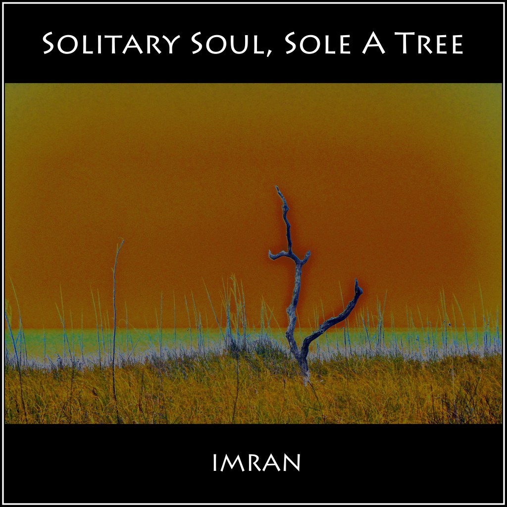
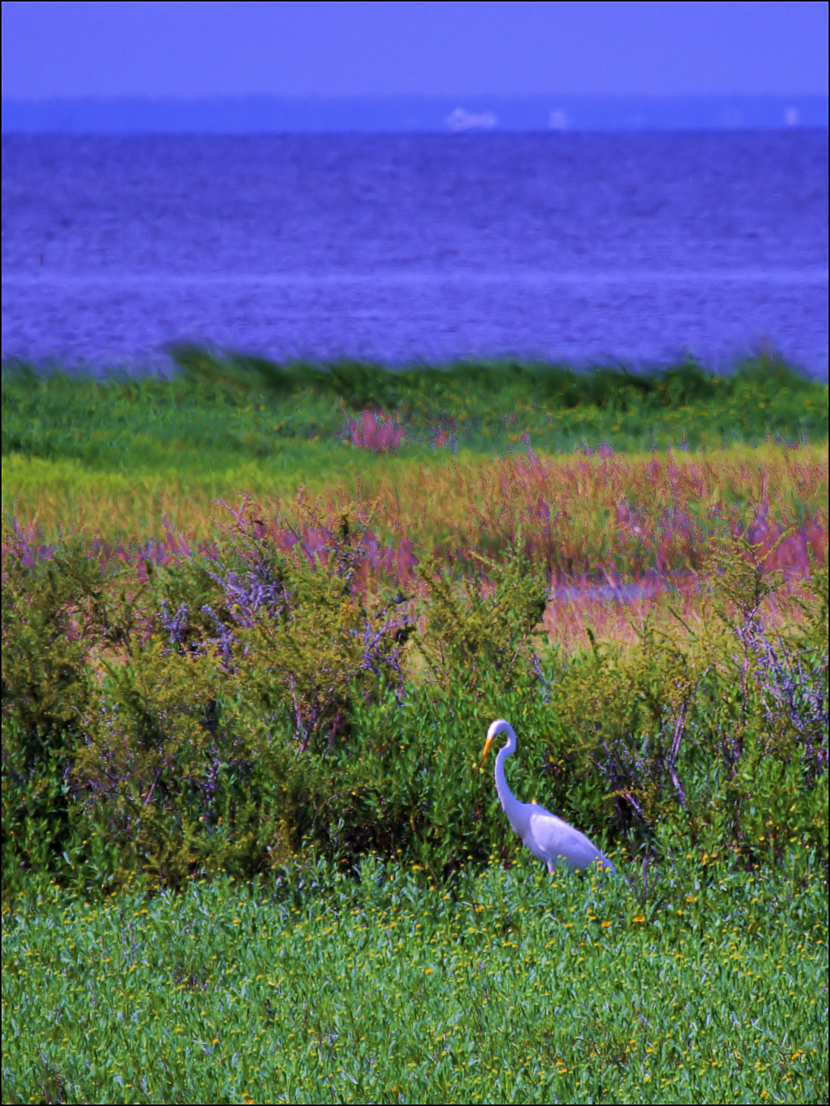
I, Solitary Soul, Eye Sole, A Tree, See By Sea - IMRAN™ -- 500+ Views! Explored!
View from Angelo and Sons, Ochlockanee

Lunch at Angelo's & Sons at Ochlockonee Bay near Panacea, FL

I miss this view
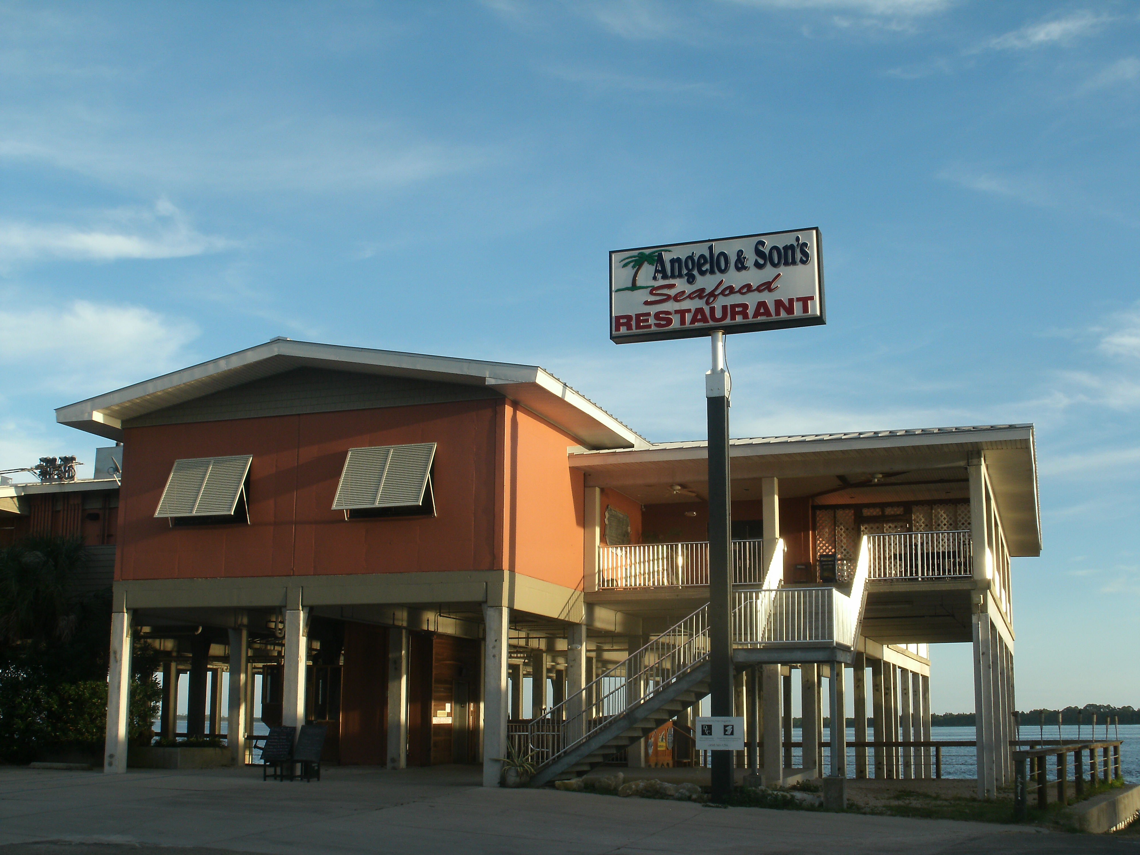
Angelo and Son's Seafood Restaurant
The view from the patio at Angelo's. Panacea Florida
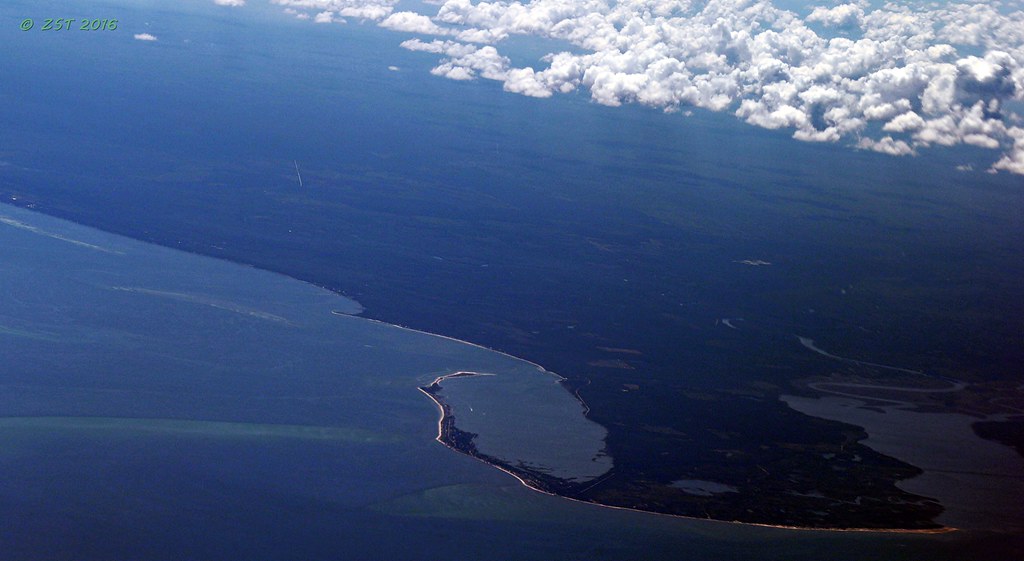
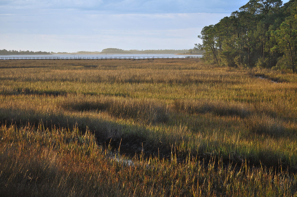
Bald Point State Park & Alligator Point

Low tide morning, day six. Last morning. Up before the sun, rewarded with an amazing view of the beach and the water. Ready to head home, though. #70d #dslr
Panacea, Fl
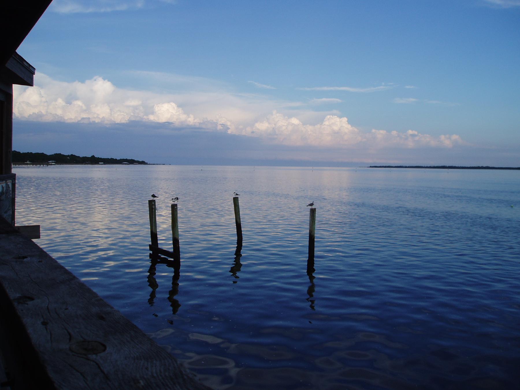
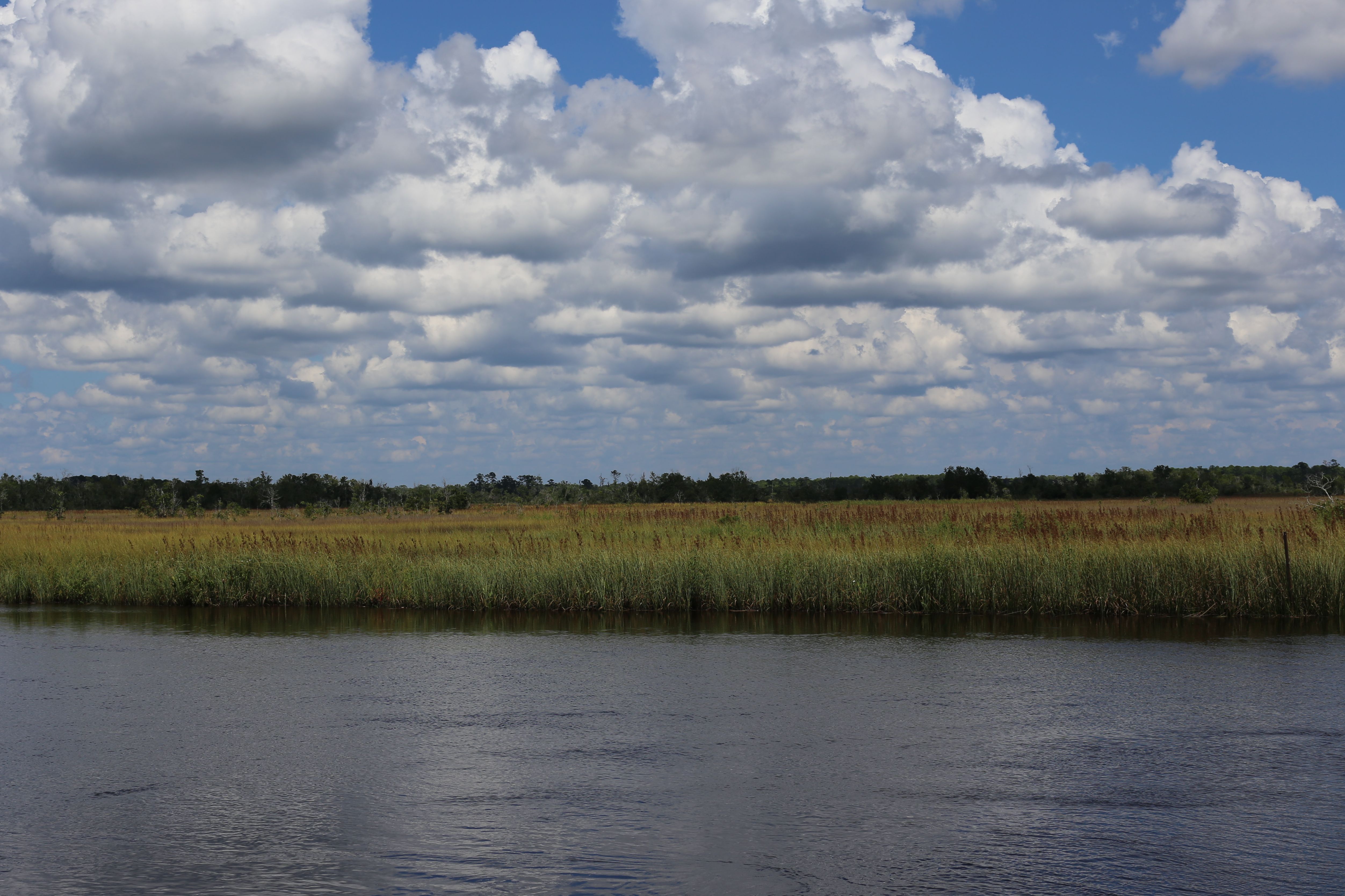
Ochlockonee Bay

2016-09-18 13'34'40 ++++

White Squirrel - not an albino
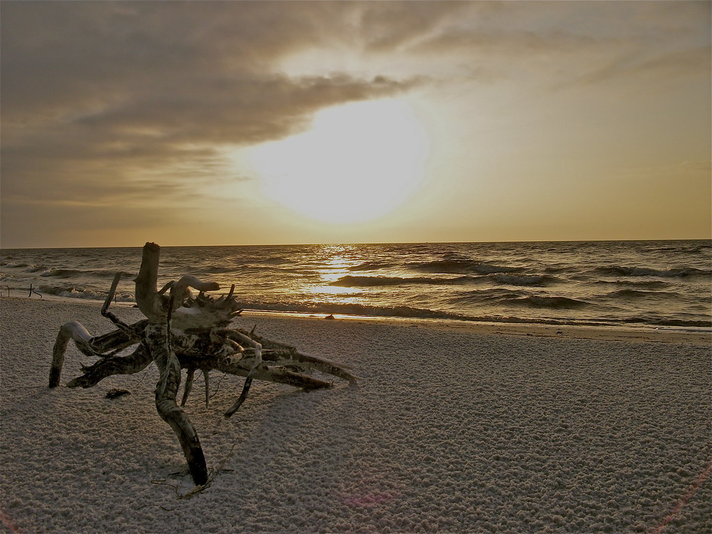
"Crab Root"
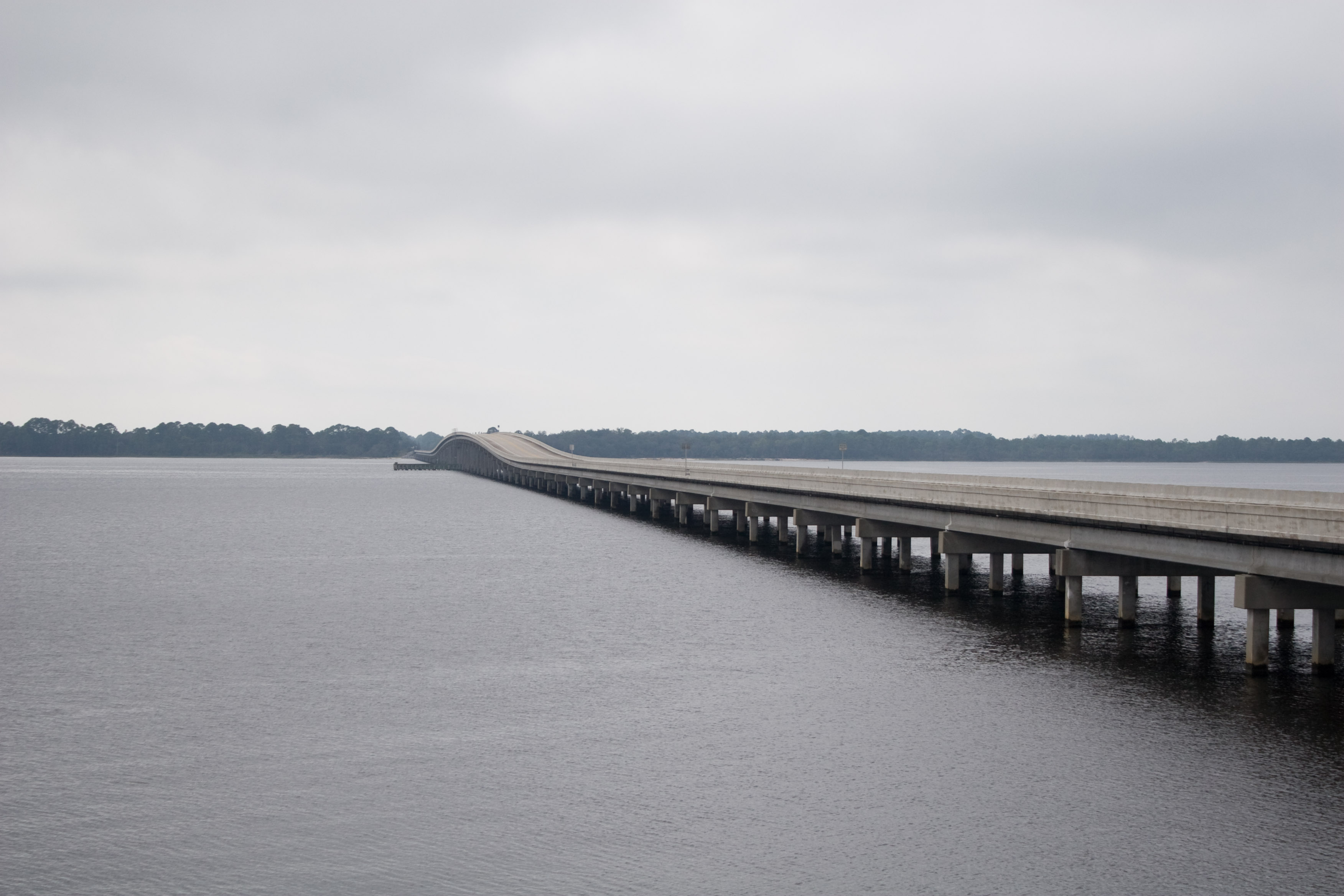
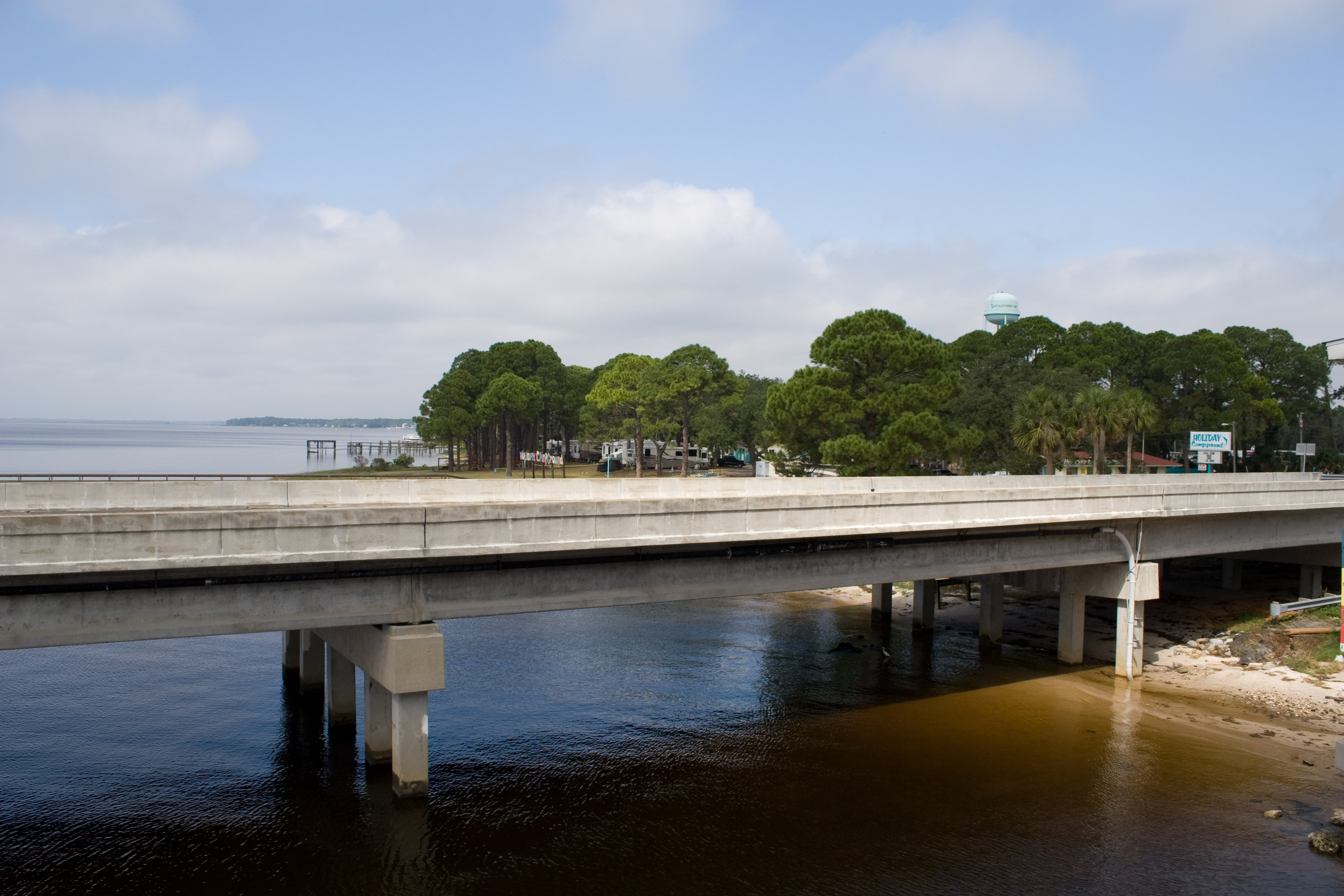
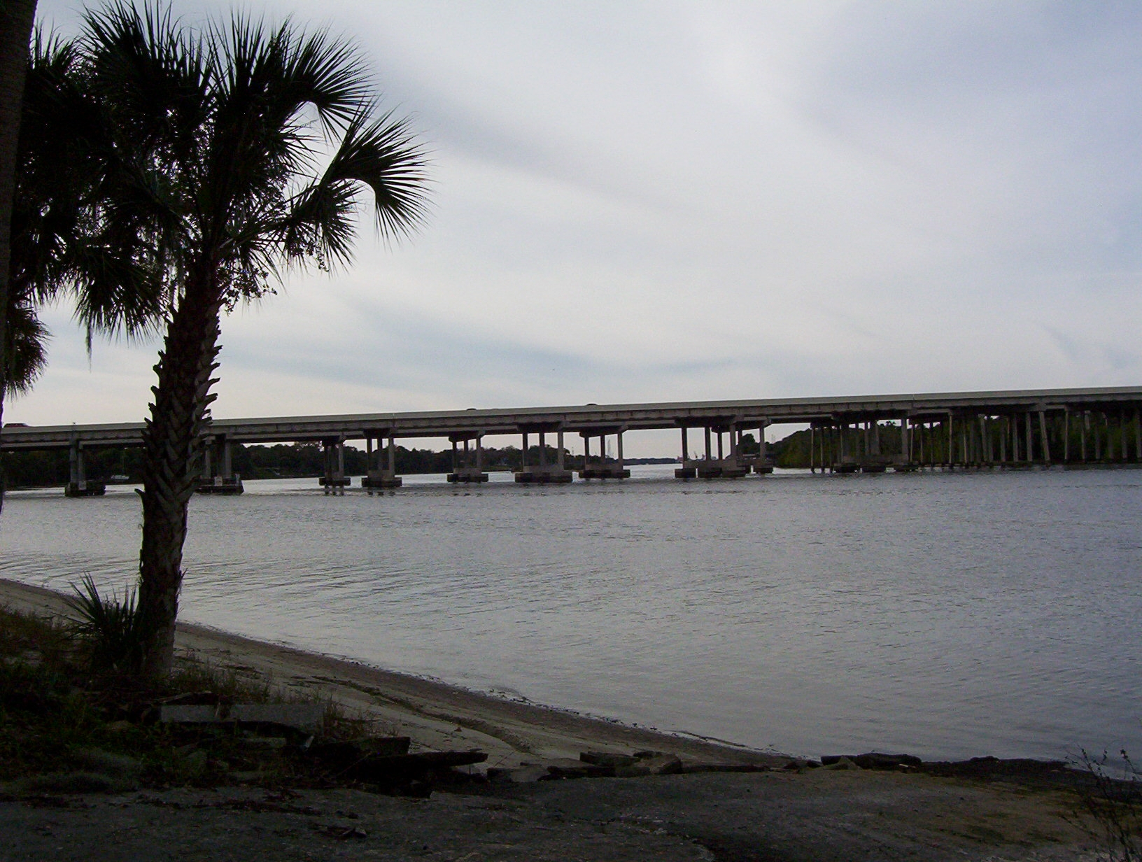
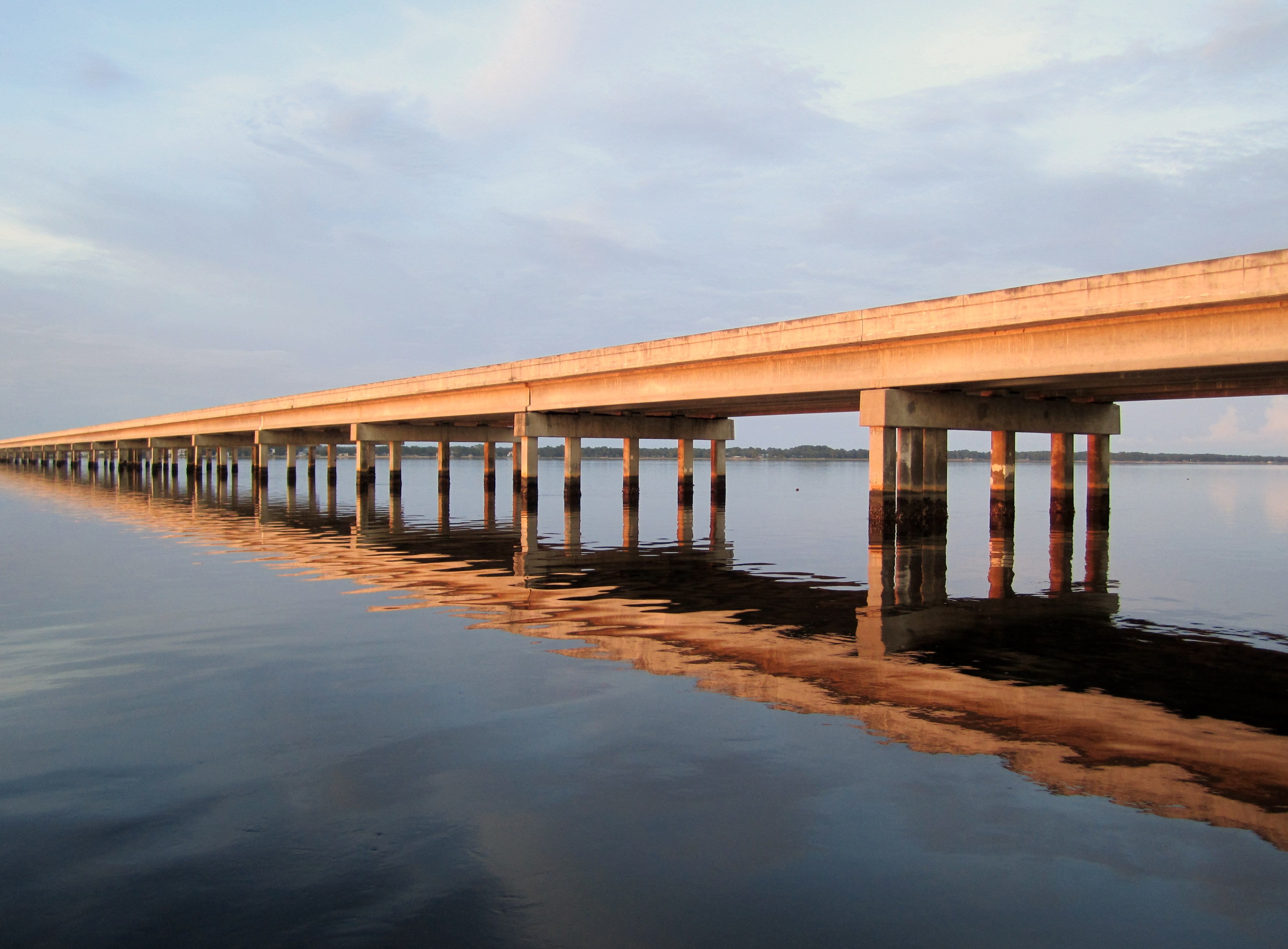
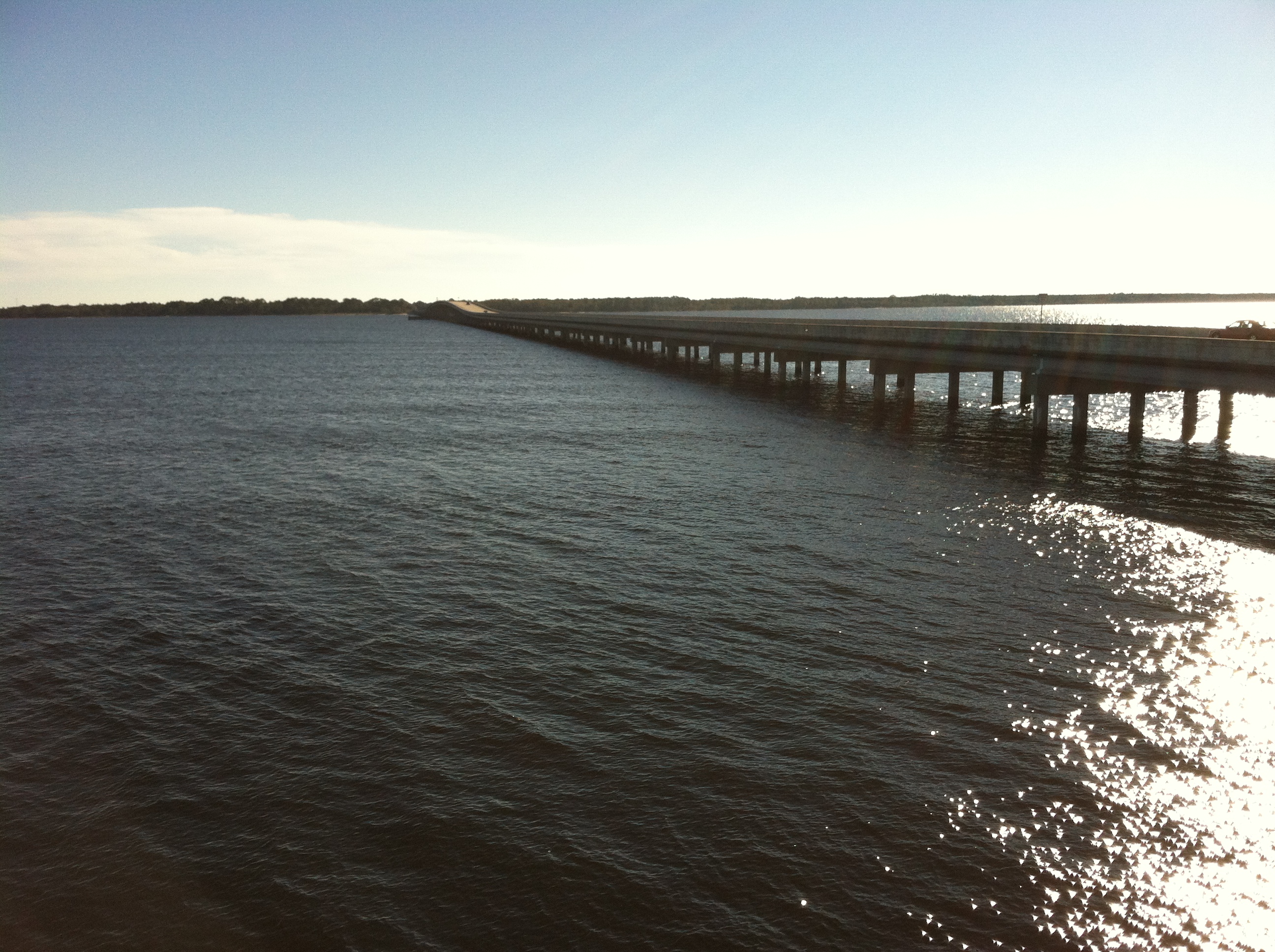
US98 Across Ochlockanee Bay
a perfect day
#sunrise this morning #OchlockneeBay #Jeep #jeeplife #DoorsOff #topDown

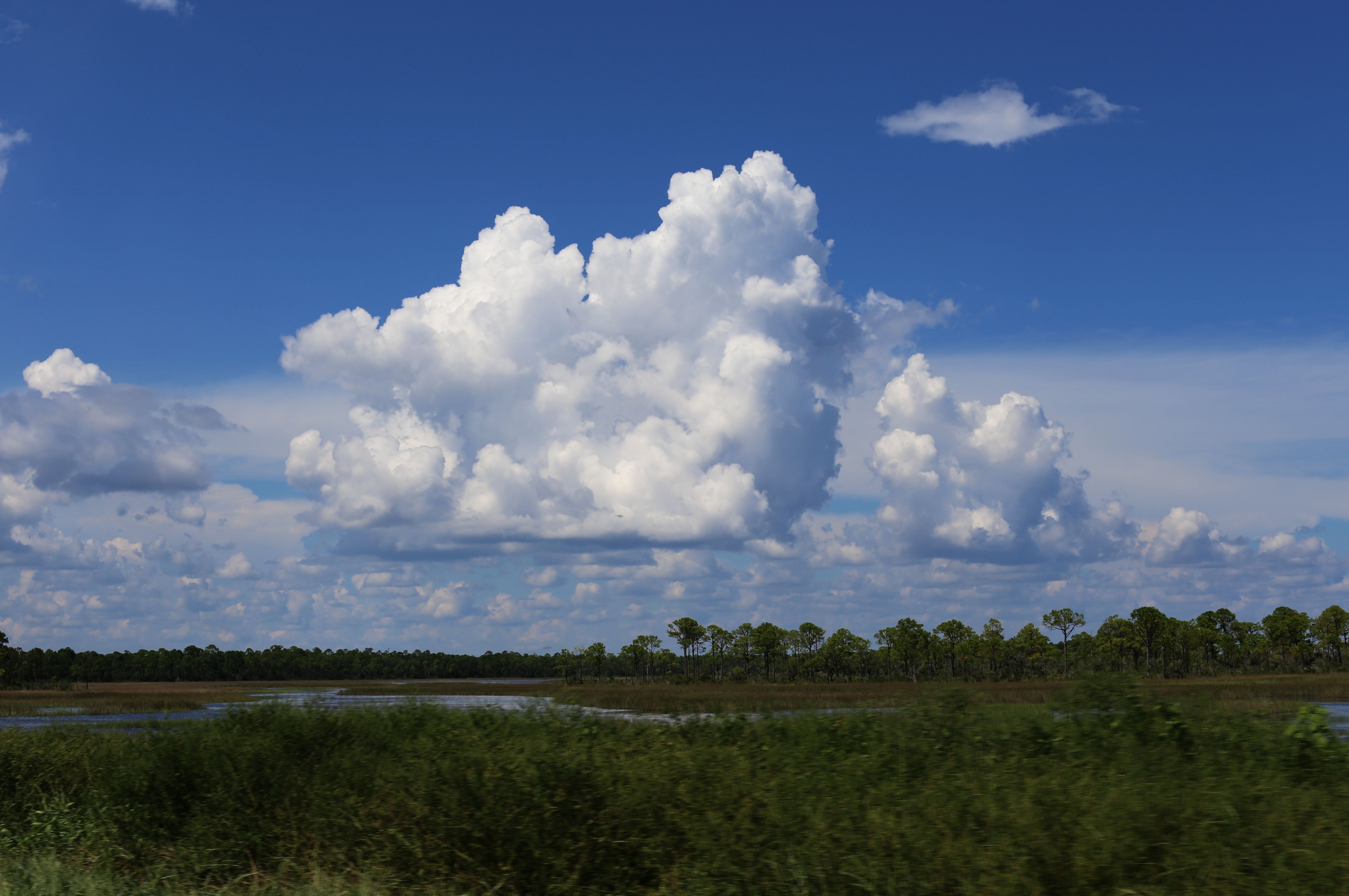
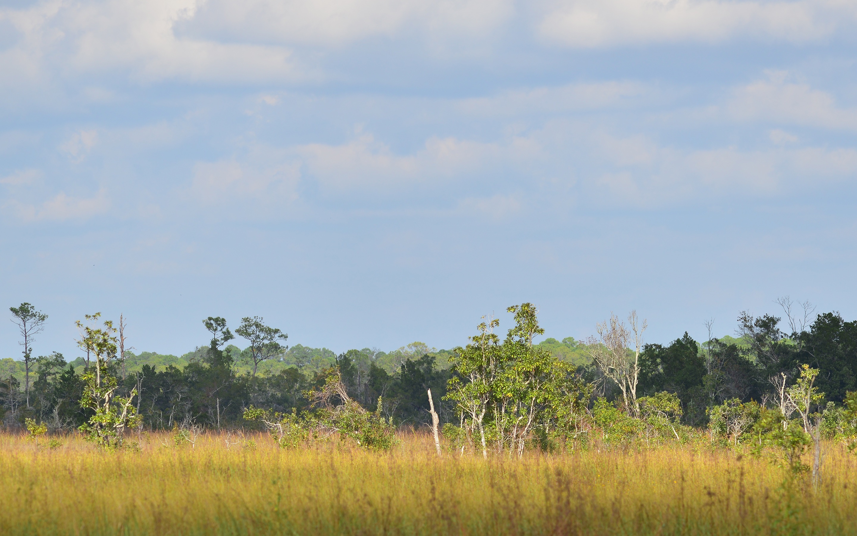
Pine flatwoods pond
Ochlockonee Bay

Ochlockonee Bay
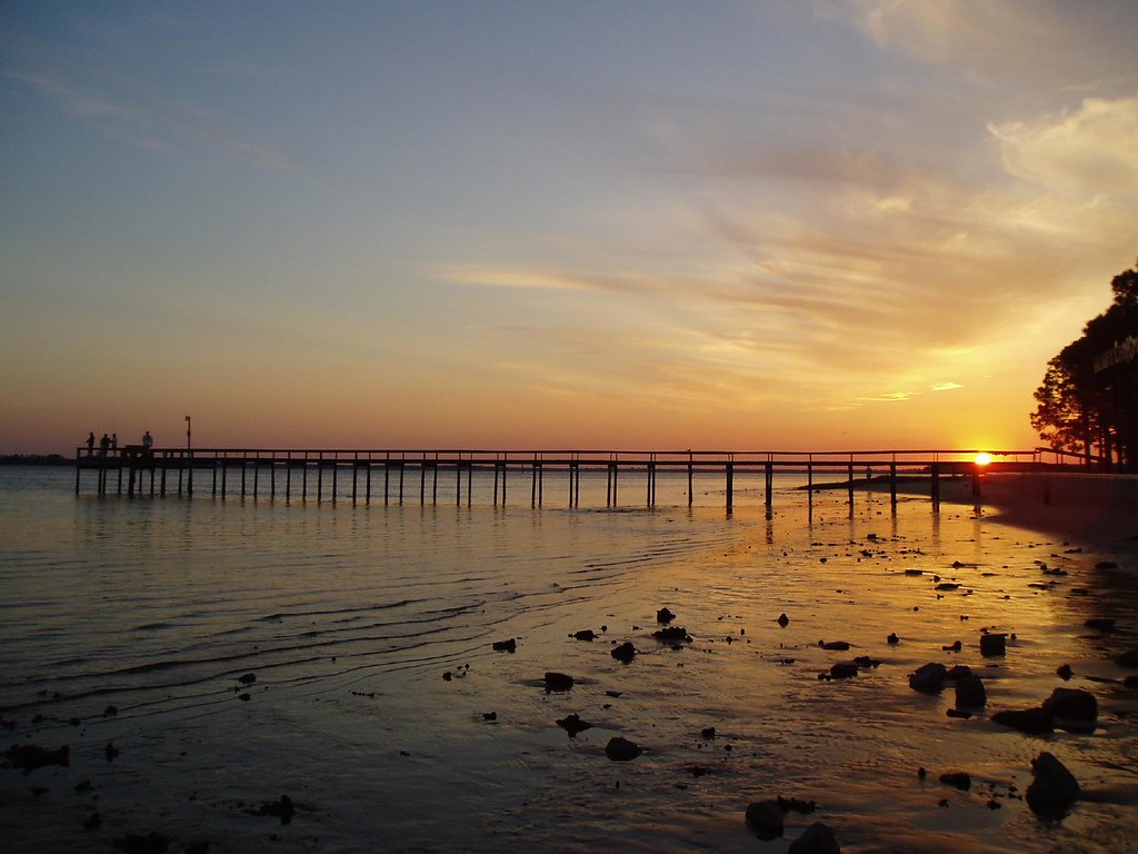
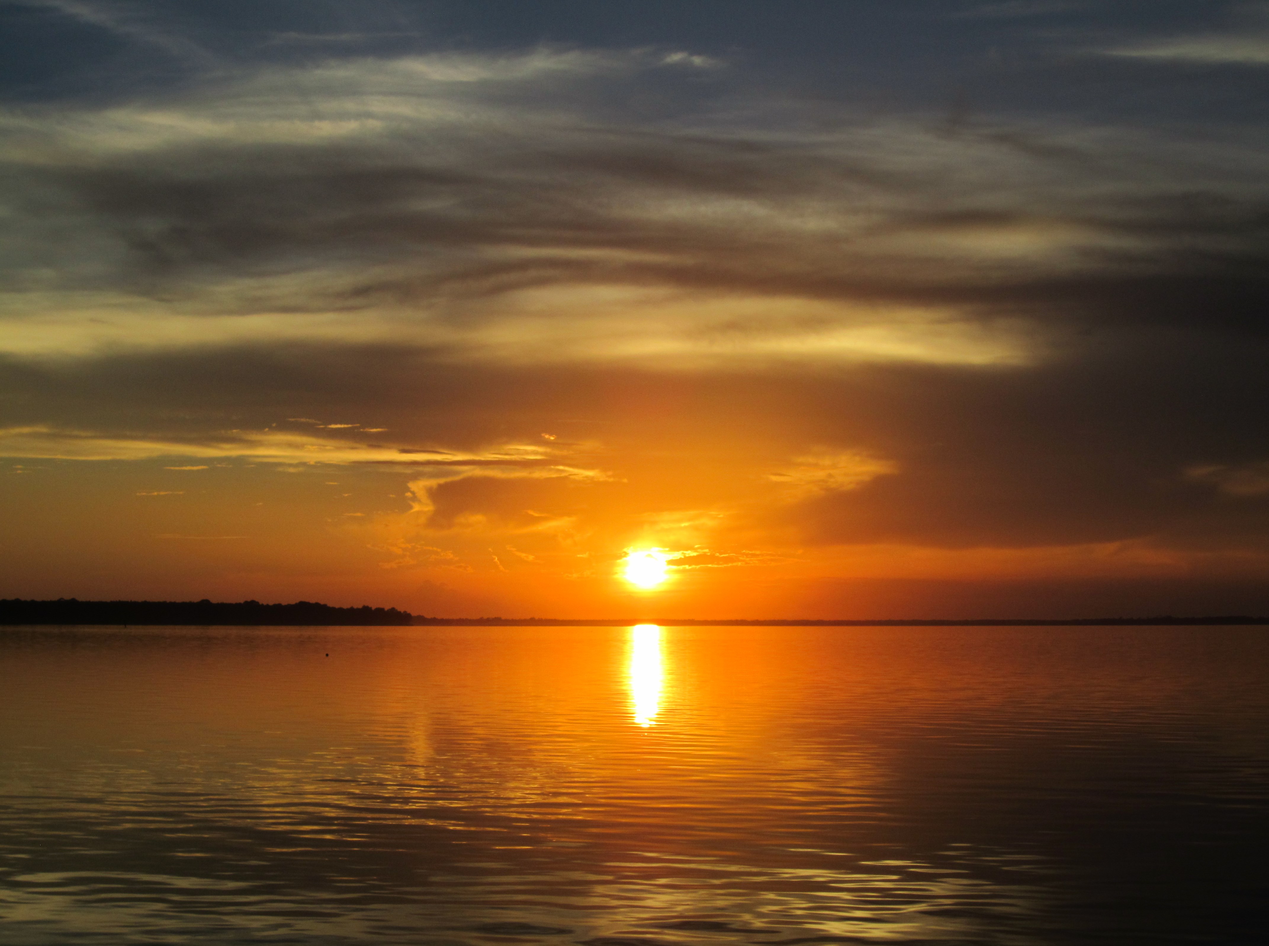
Panacea Sunset
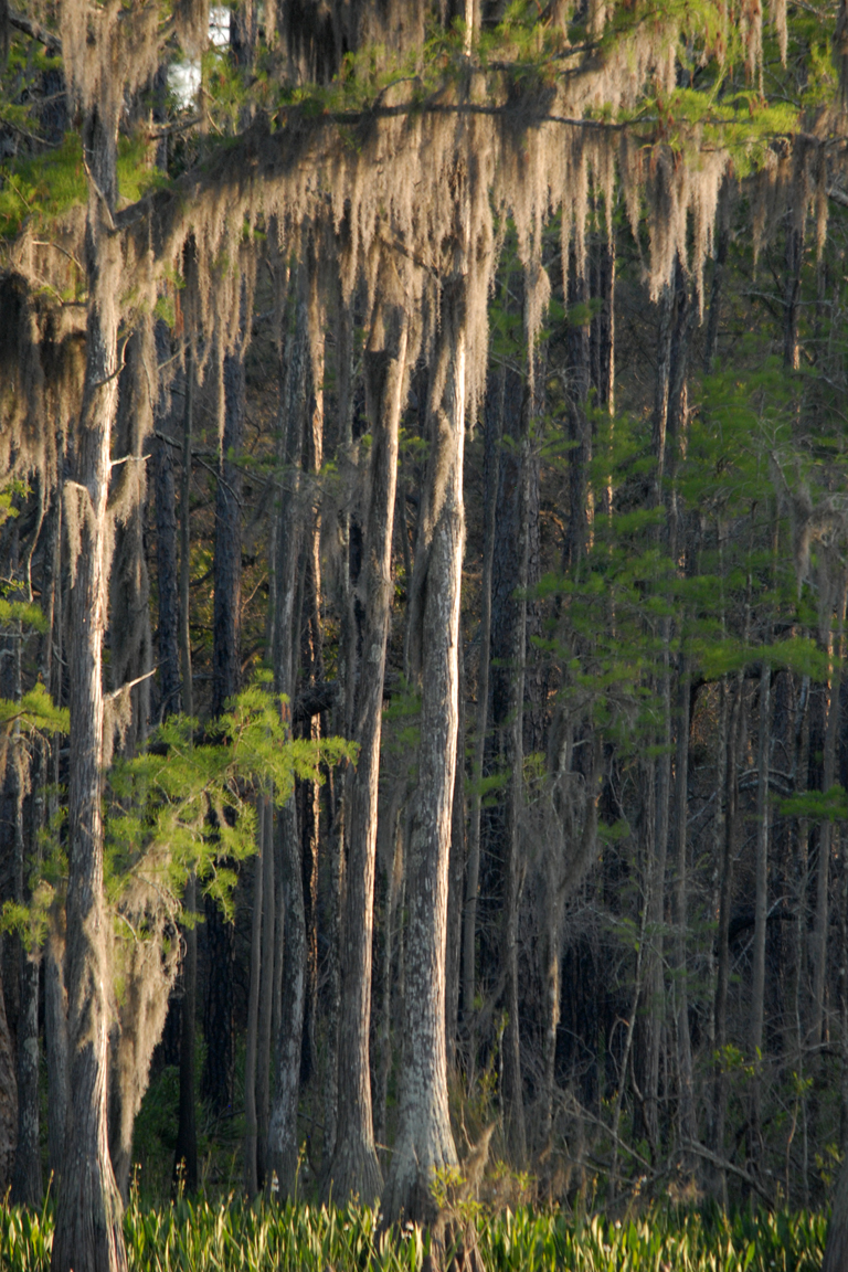
Bear Creek
Lunch at Angelo's & Sons at Ochlockonee Bay near Panacea, FL
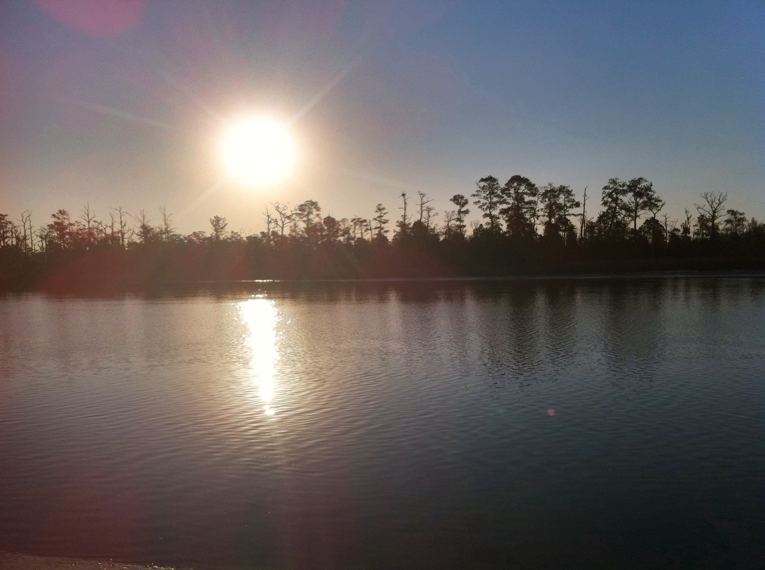
Ochlocknee river sunrise
grass in the river
Otter Lake
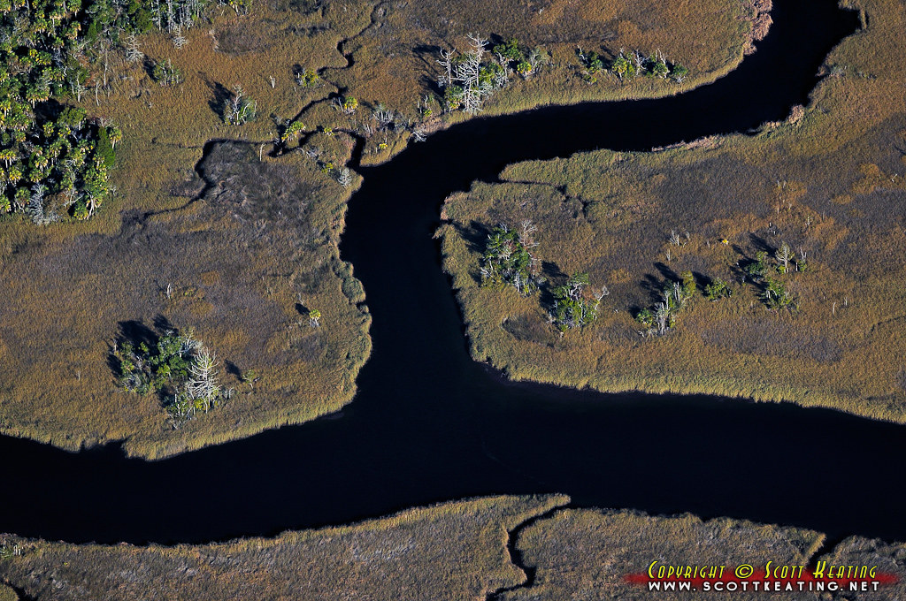
Estuary 3
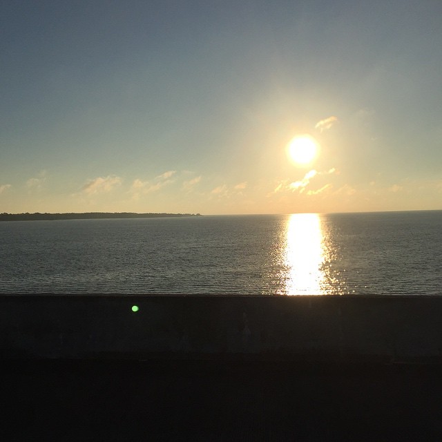
First Light
IN THE FIELD...
Topographic Map of Mariner Cir, Alligator Point, FL, USA
Find elevation by address:
Places near Mariner Cir, Alligator Point, FL, USA:
648 Mariner Cir
Magnolia St, Alligator Point, FL, USA
599 Alligator Dr
750 Alligator Dr
1287 Angus Morrison Rd
1296 Alligator Dr
1139 Alligator Dr
9 Lake View Dr
573 Mashes Sands Rd
63 Sunrise Ln
28 Sunrise Ln
28 Sunrise Ln
27 Sunrise Ln
3 Blue Crab Ln
303 Mashes Sands Rd
297 Mashes Sands Rd
306 Mashes Sands Rd
306 Mashes Sands Rd
Shell Point Rd, Crawfordville, FL, USA
1591 Shell Point Rd
Recent Searches:
- Elevation of 104, Chancery Road, Middletown Township, Bucks County, Pennsylvania, 19047, USA
- Elevation of 1212, Cypress Lane, Dayton, Liberty County, Texas, 77535, USA
- Elevation map of Central Hungary, Hungary
- Elevation map of Pest, Central Hungary, Hungary
- Elevation of Pilisszentkereszt, Pest, Central Hungary, Hungary
- Elevation of Dharamkot Tahsil, Punjab, India
- Elevation of Bhinder Khurd, Dharamkot Tahsil, Punjab, India
- Elevation of 2881, Chabot Drive, San Bruno, San Mateo County, California, 94066, USA
- Elevation of 10370, West 107th Circle, Westminster, Jefferson County, Colorado, 80021, USA
- Elevation of 611, Roman Road, Old Ford, Bow, London, England, E3 2RW, United Kingdom
- Elevation of 116, Beartown Road, Underhill, Chittenden County, Vermont, 05489, USA
- Elevation of Window Rock, Colfax County, New Mexico, 87714, USA
- Elevation of 4807, Rosecroft Street, Kempsville Gardens, Virginia Beach, Virginia, 23464, USA
- Elevation map of Matawinie, Quebec, Canada
- Elevation of Sainte-Émélie-de-l'Énergie, Matawinie, Quebec, Canada
- Elevation of Rue du Pont, Sainte-Émélie-de-l'Énergie, Matawinie, Quebec, J0K2K0, Canada
- Elevation of 8, Rue de Bécancour, Blainville, Thérèse-De Blainville, Quebec, J7B1N2, Canada
- Elevation of Wilmot Court North, 163, University Avenue West, Northdale, Waterloo, Region of Waterloo, Ontario, N2L6B6, Canada
- Elevation map of Panamá Province, Panama
- Elevation of Balboa, Panamá Province, Panama