Elevation of 3 Blue Crab Ln, Panacea, FL, USA
Location: United States > Florida > Liberty County > Panacea >
Longitude: -84.349613
Latitude: 29.972711
Elevation: 1m / 3feet
Barometric Pressure: 101KPa
Elevation Map:
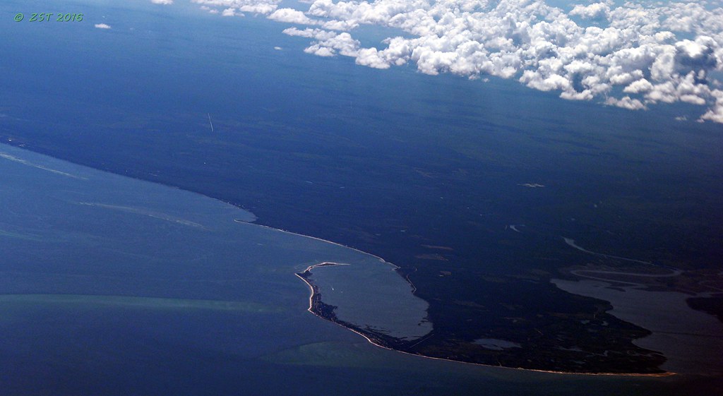
Satellite Map:
Related Photos:
View from Angelo and Sons, Ochlockanee
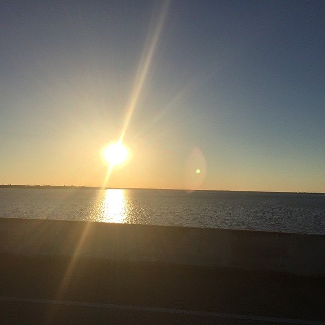
This was my #sunset view over #OchlockneeBay driving the #Jeep home #topDown #DoorsOff #nofilter #wx #jeeplife
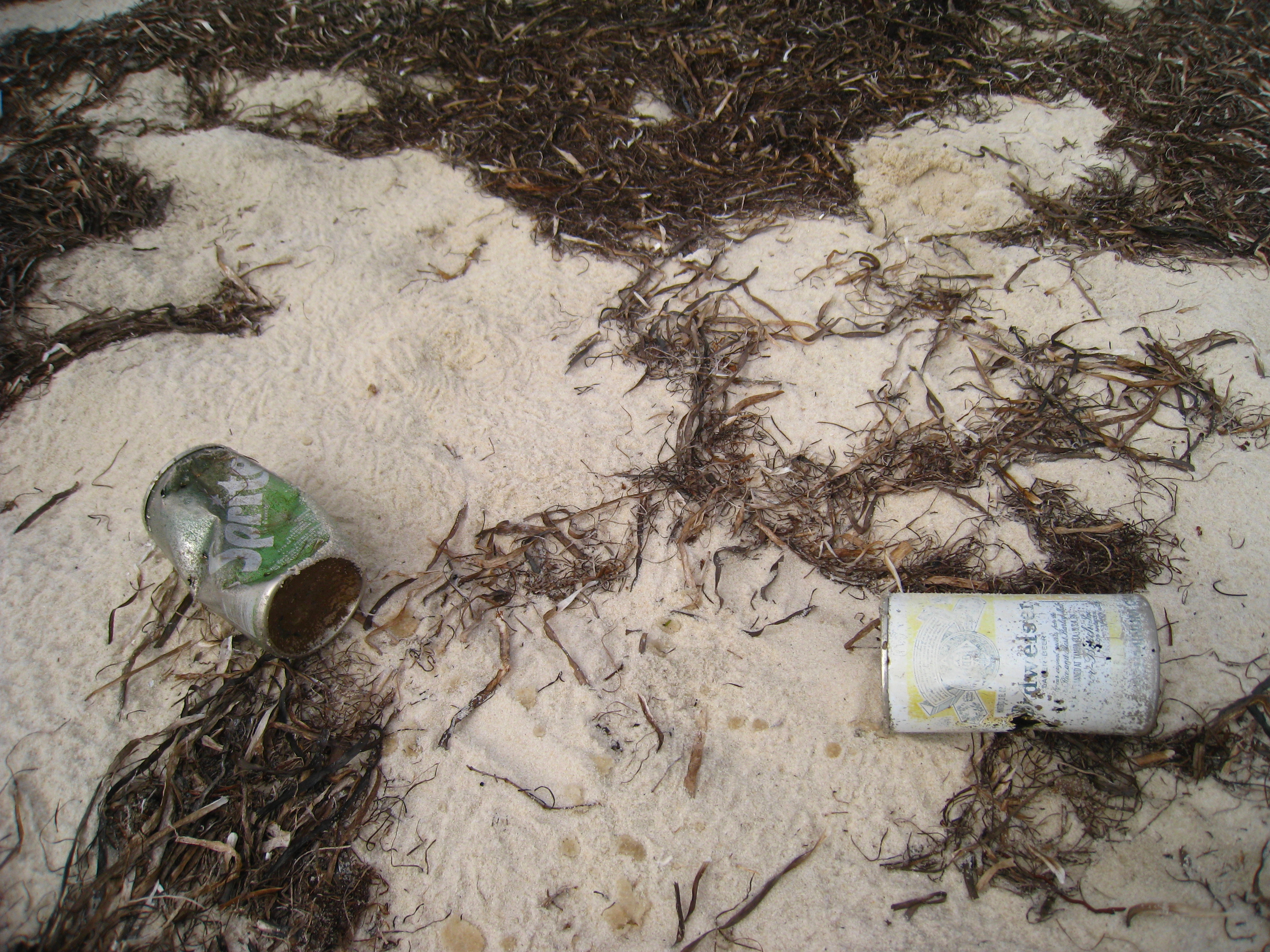
Bud anyone?

Lunch at Angelo's & Sons at Ochlockonee Bay near Panacea, FL
The view from the patio at Angelo's. Panacea Florida

St. Marks
Bald Point State Park & Alligator Point

Low tide morning, day six. Last morning. Up before the sun, rewarded with an amazing view of the beach and the water. Ready to head home, though. #70d #dslr
IN THE FIELD...
Early Morning Commute

White Squirrel - not an albino
Twilight Low Tide
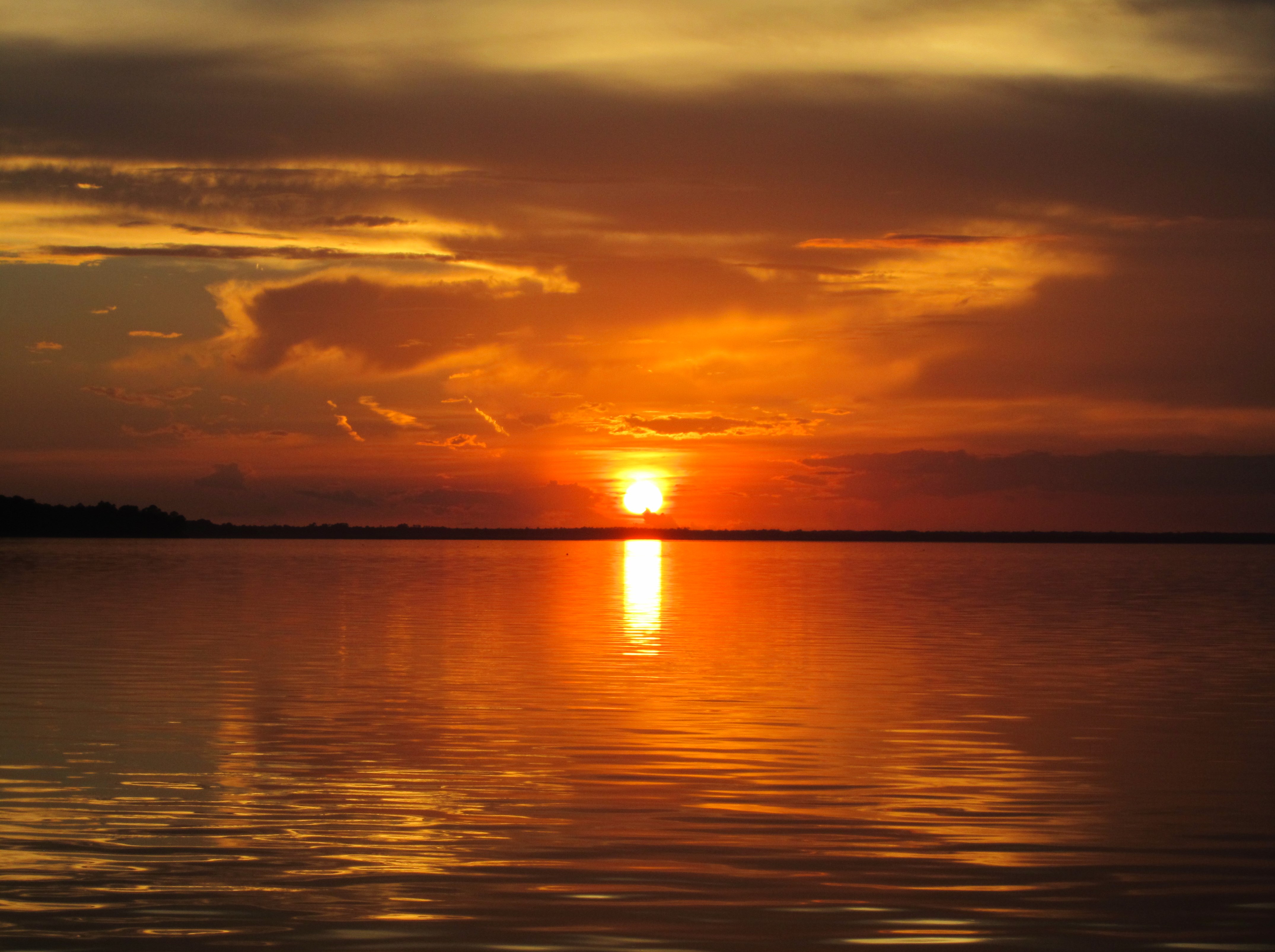
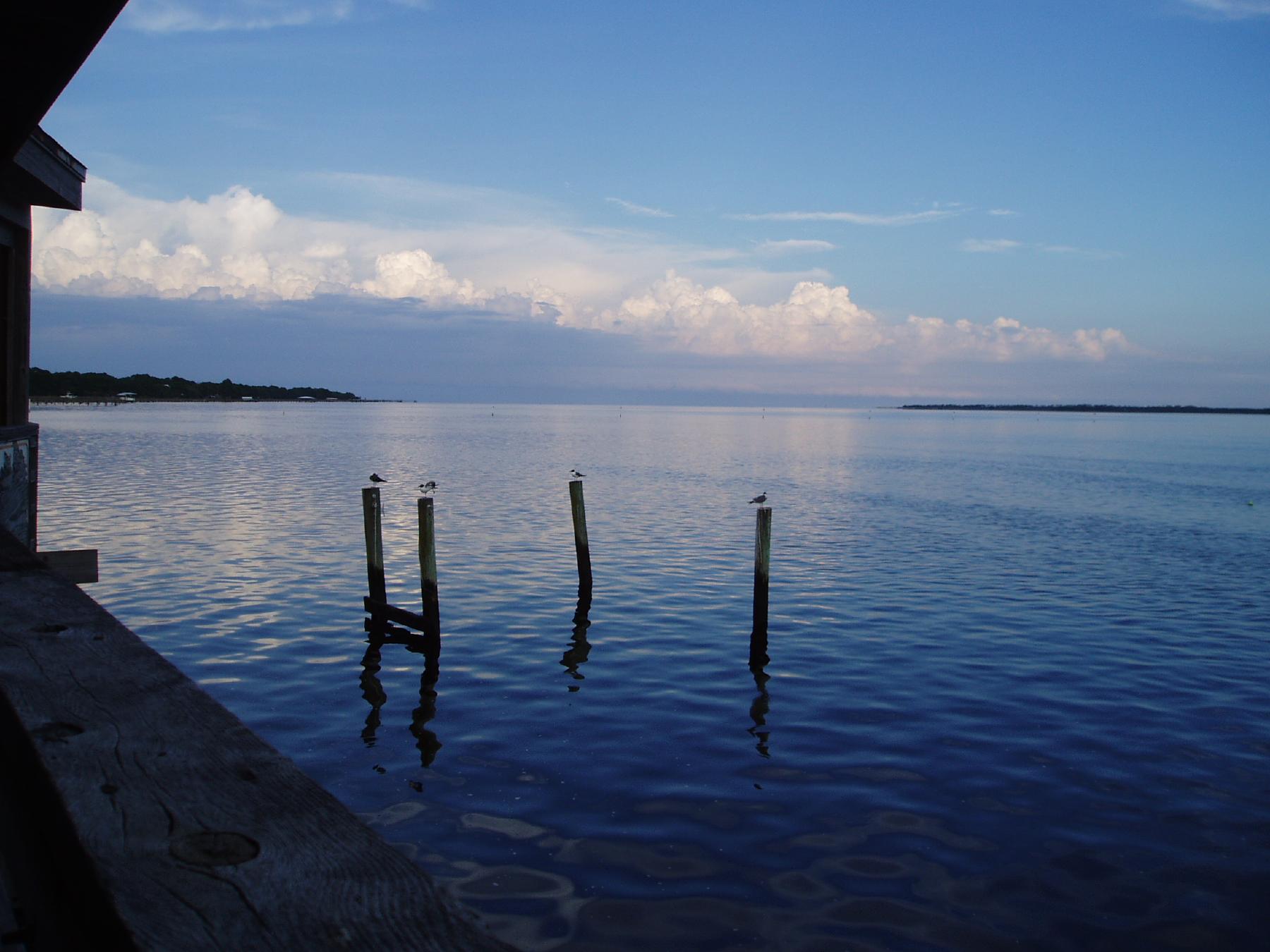
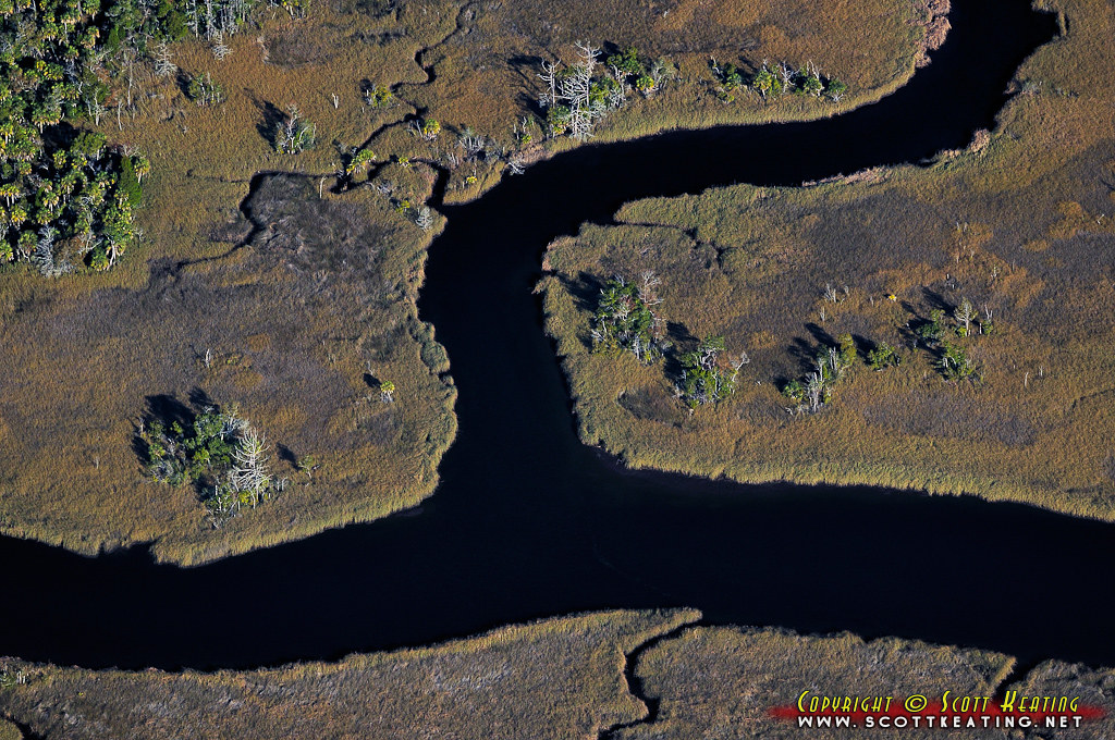
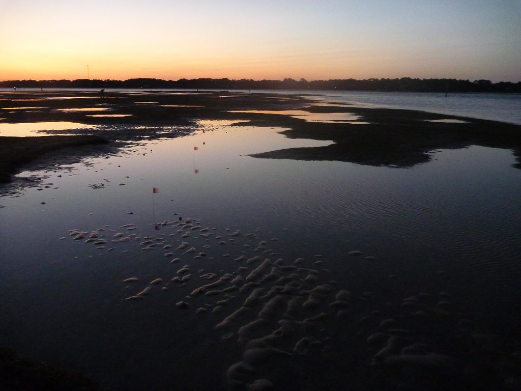
Ochlockonee Bay
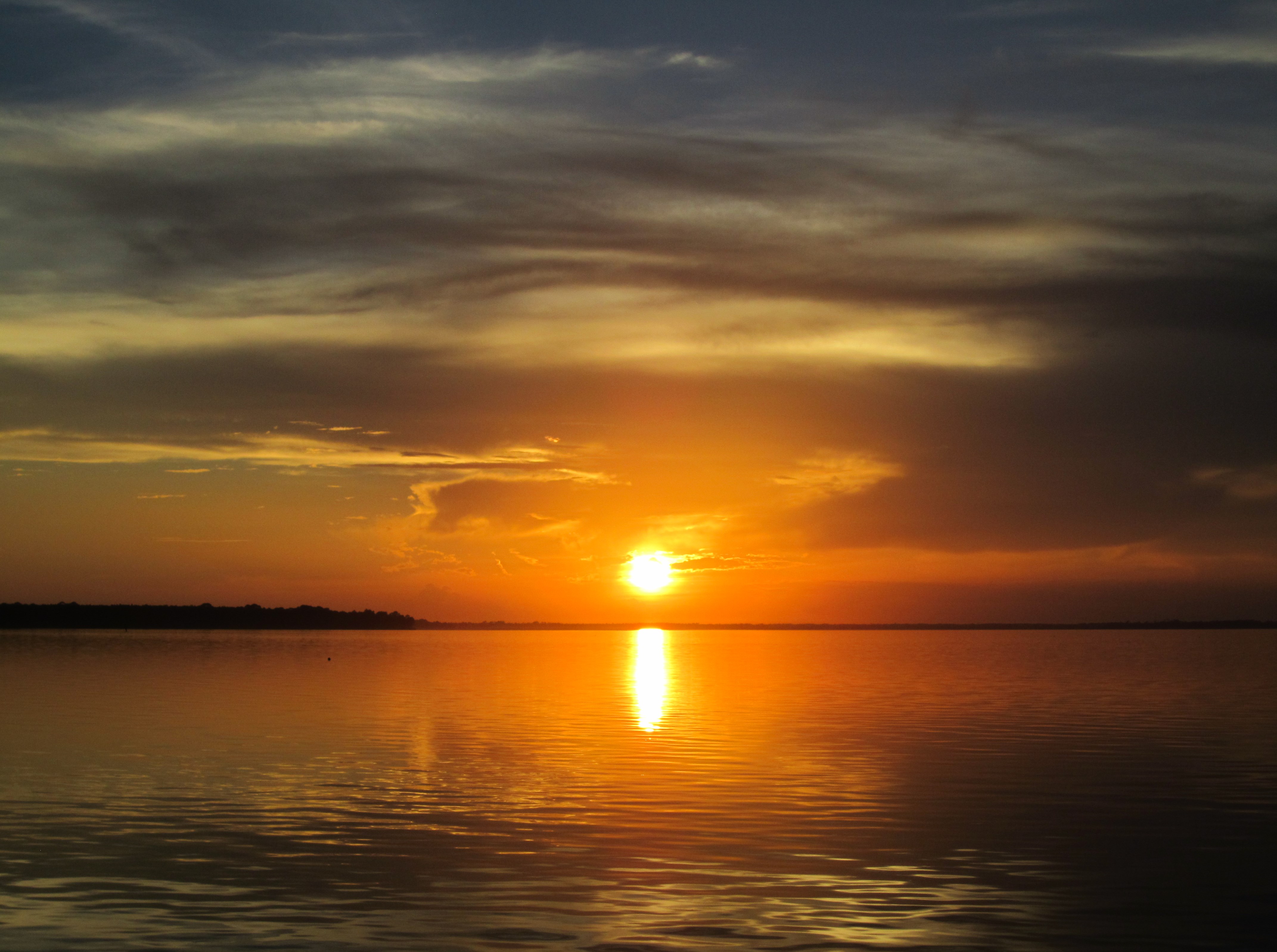
Ochlockonee Bay

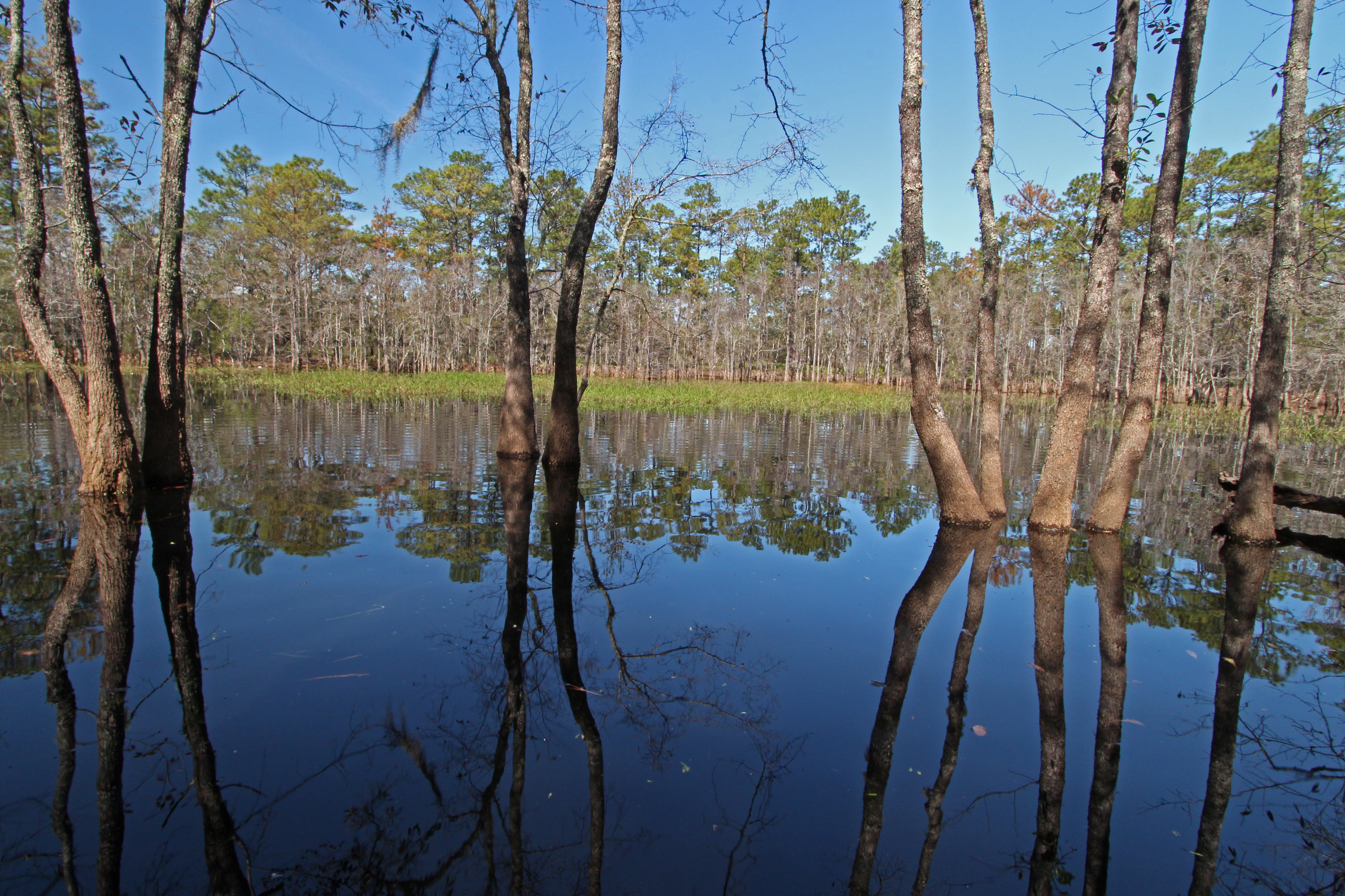
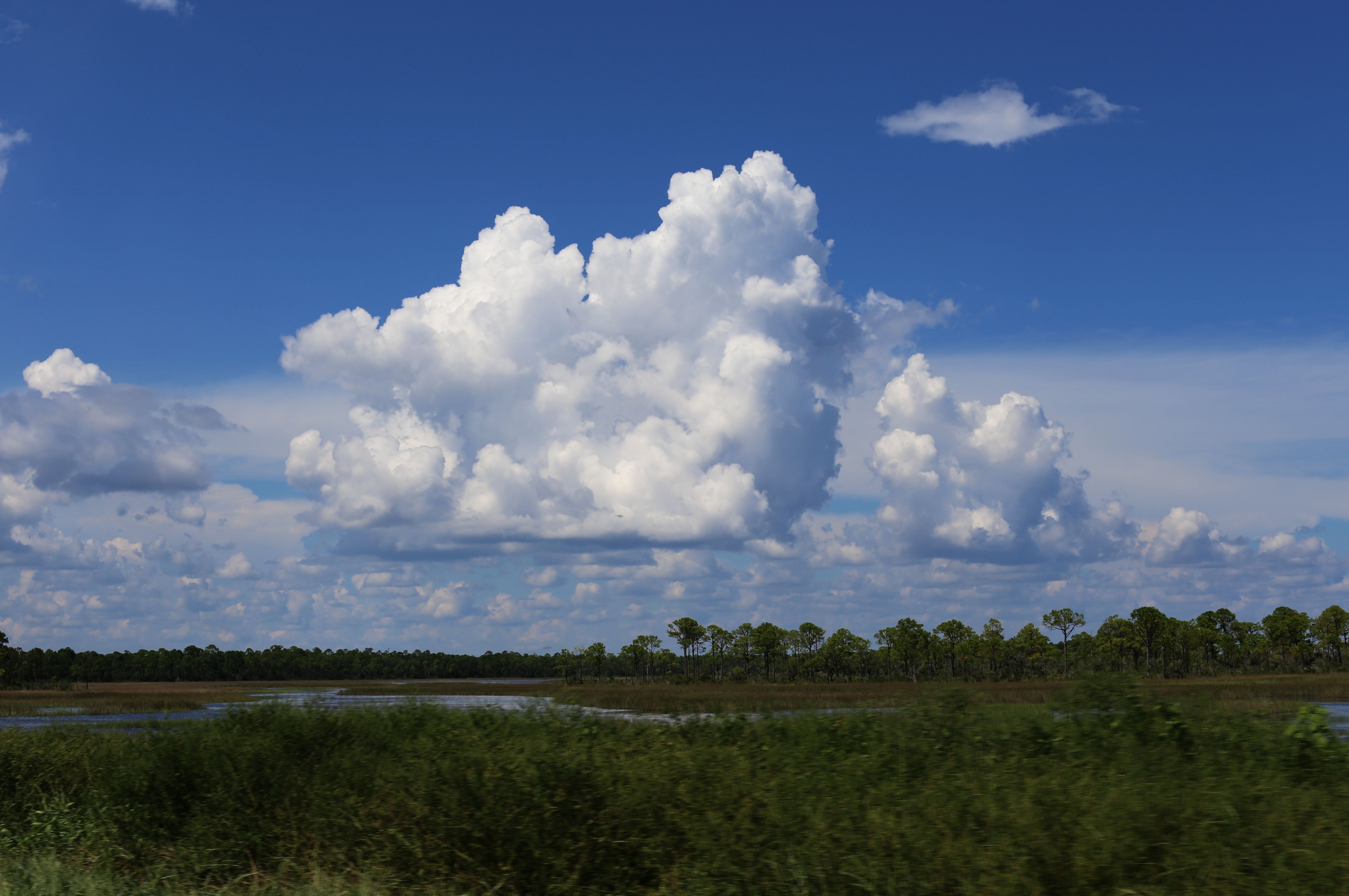
Pine flatwoods pond
Nov28-2009-ShellPoint
Corner Pond, St. Marks National Wildlife Refuge, Wakulla County, Florida 10
Bear Creek
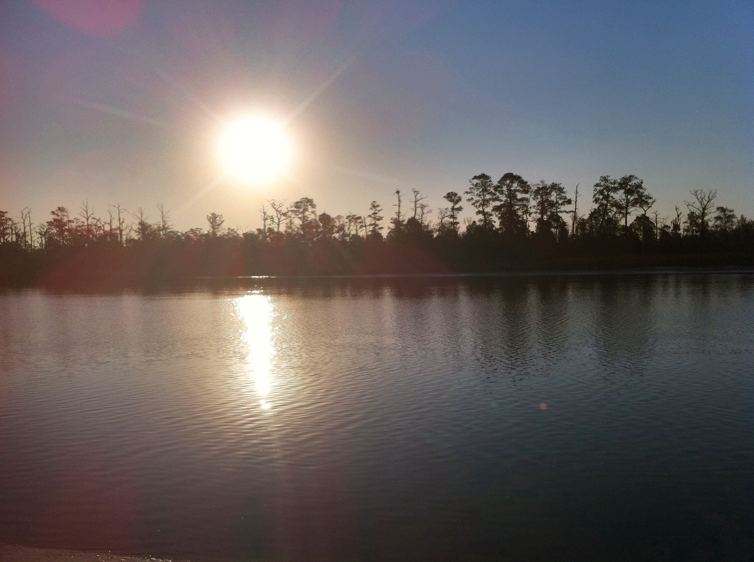
Ochlocknee river sunrise
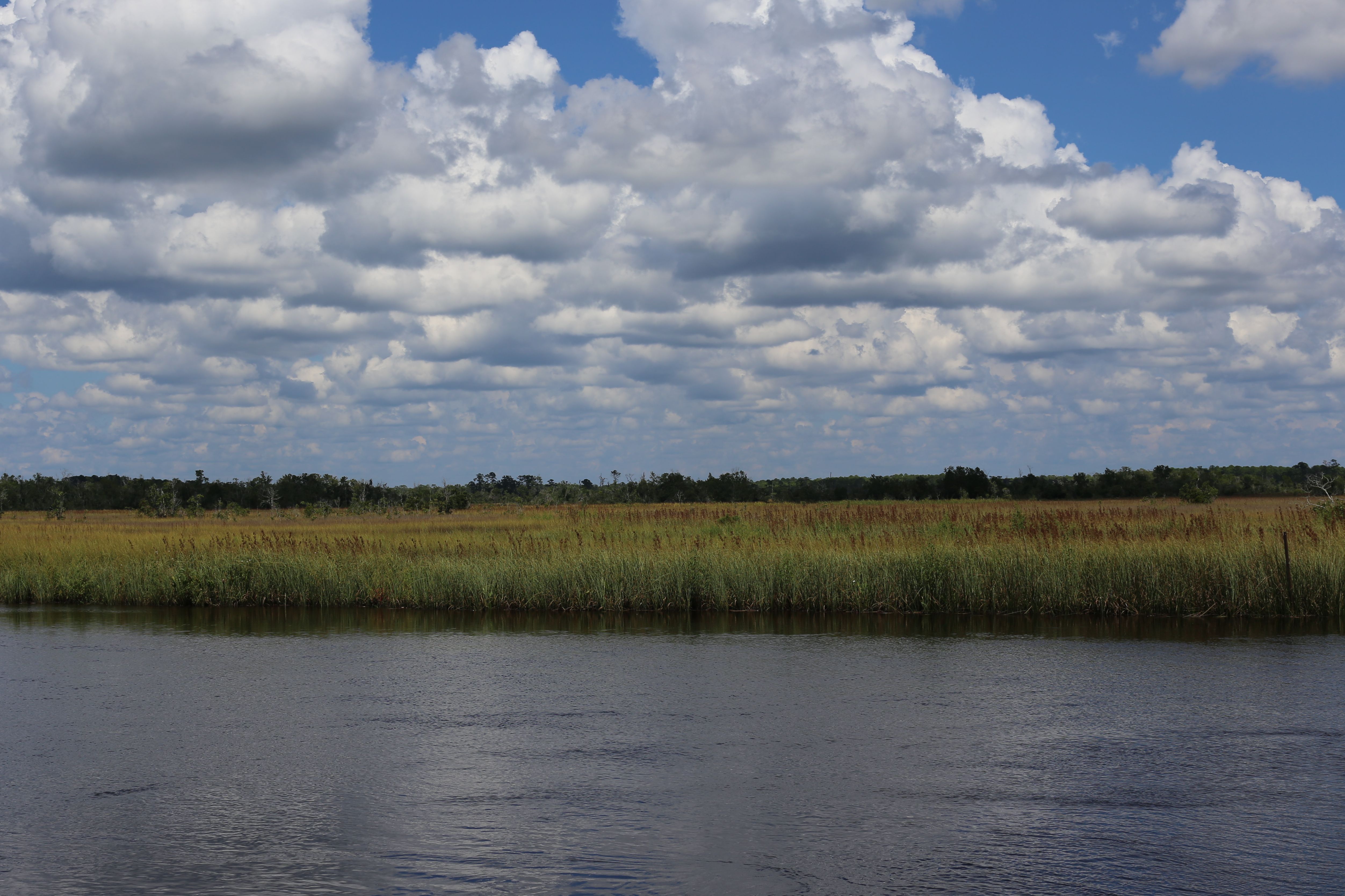
grass in the river

2016-09-18 13'34'40 ++++
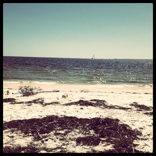
The Beach
Panacea, Fl
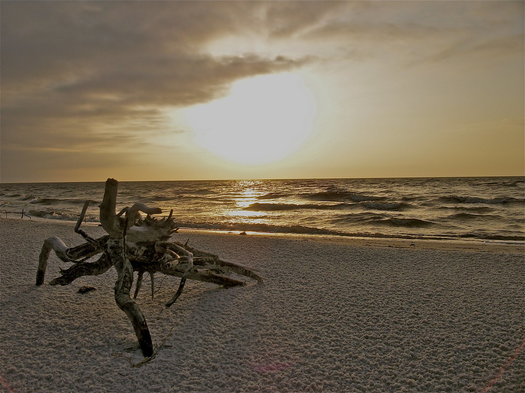
"Crab Root"
St. Marks

DSC_2411-Gulf Fritillary-Agraulis vanillae
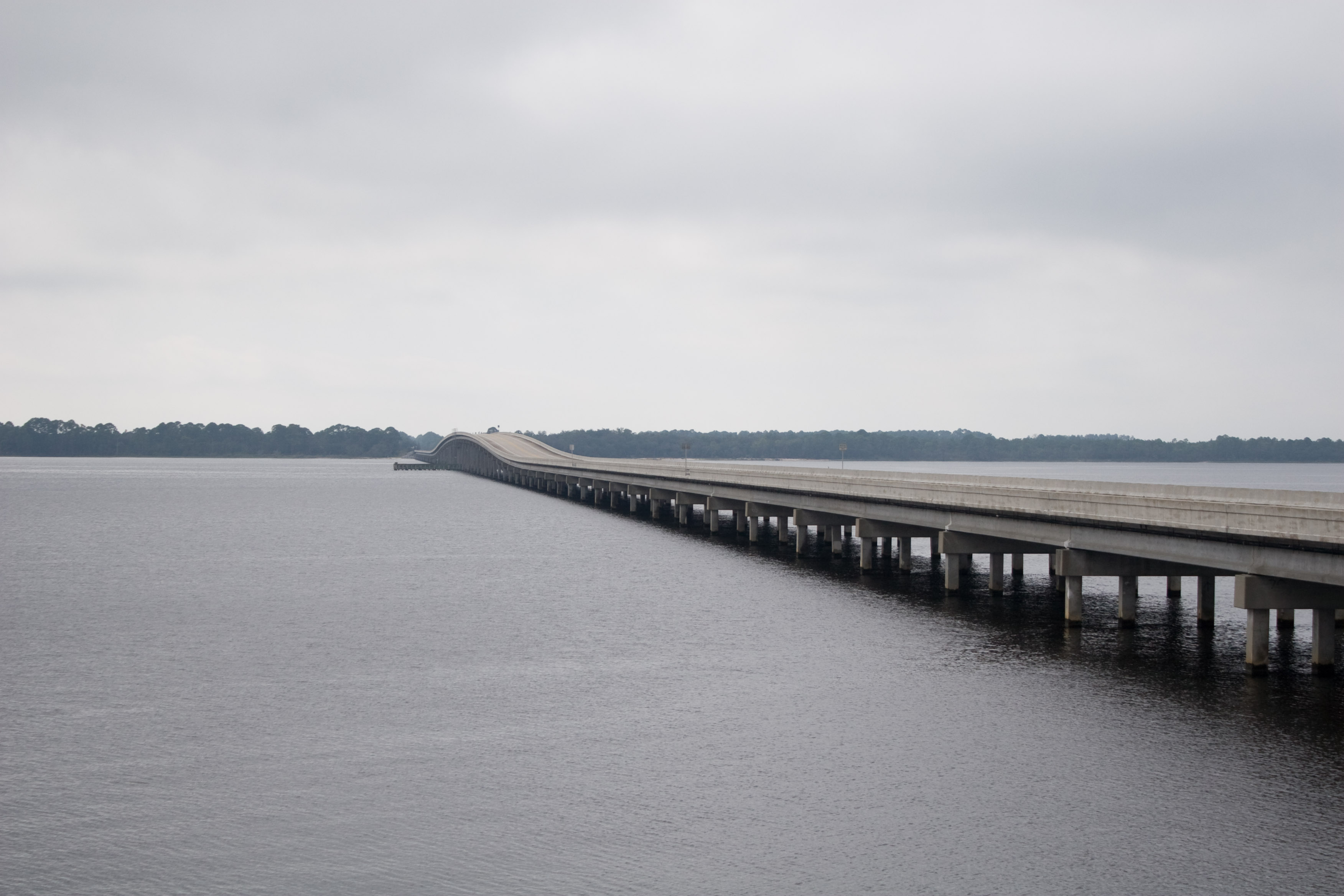
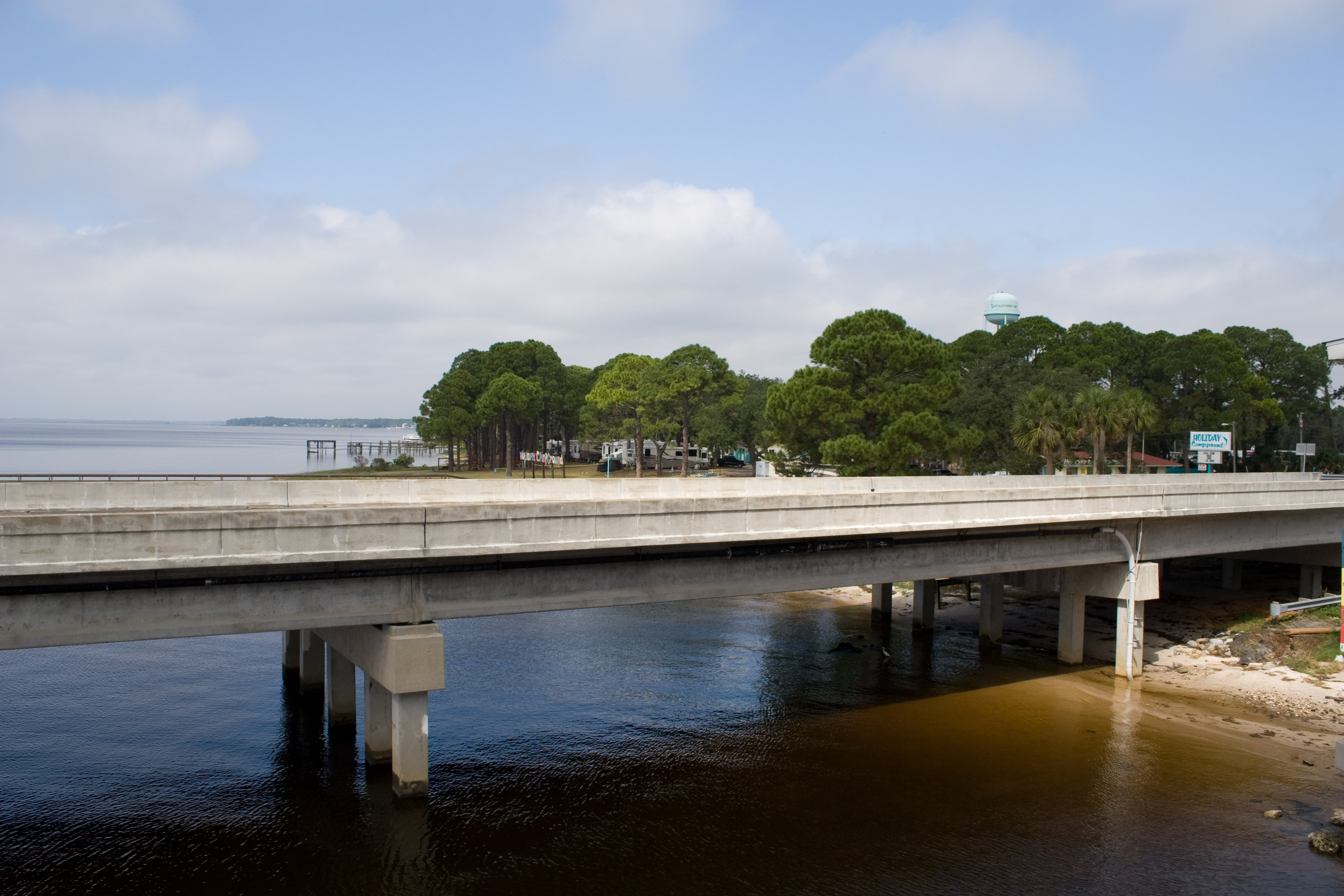
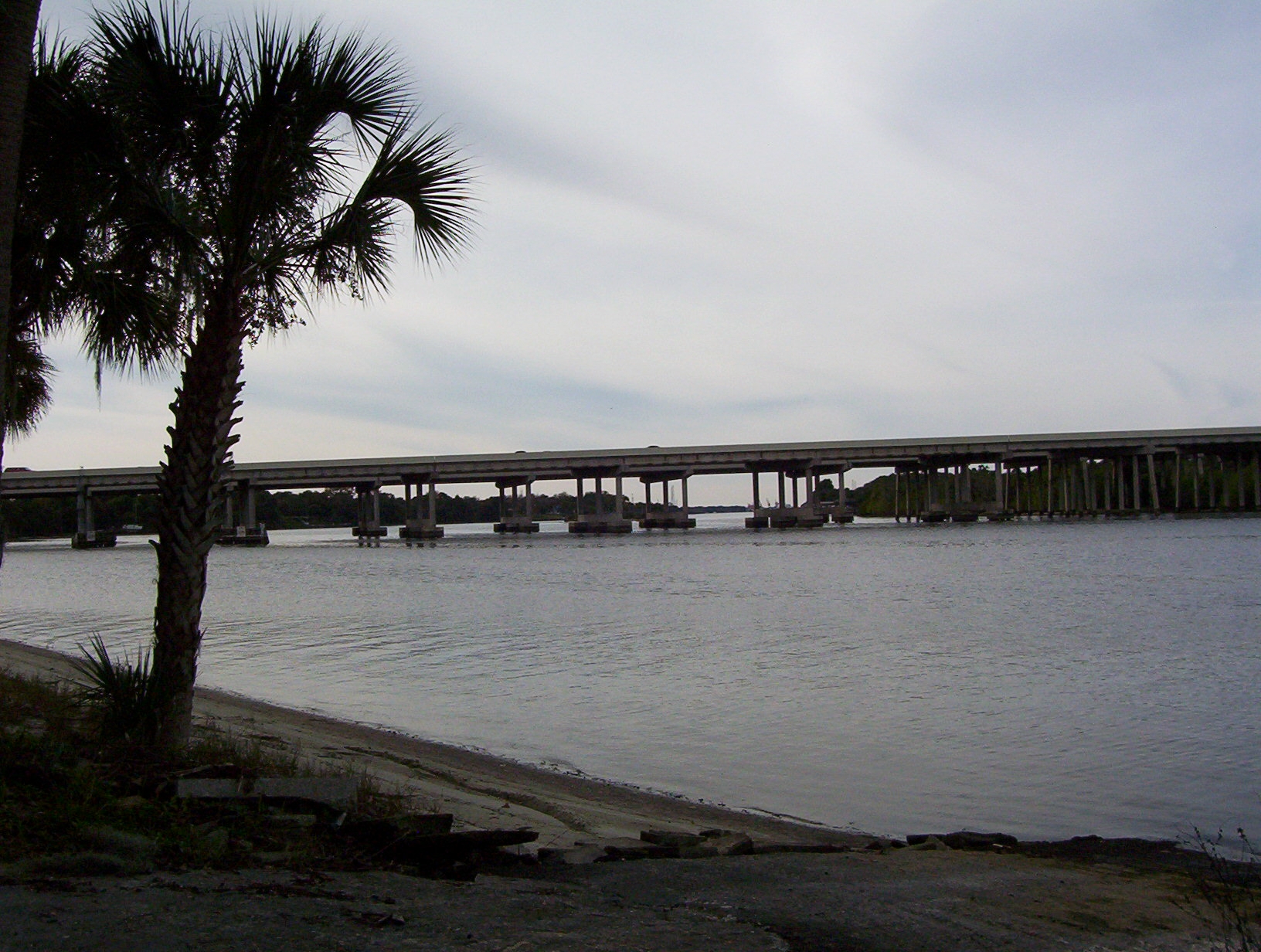
US98 Across Ochlockanee Bay
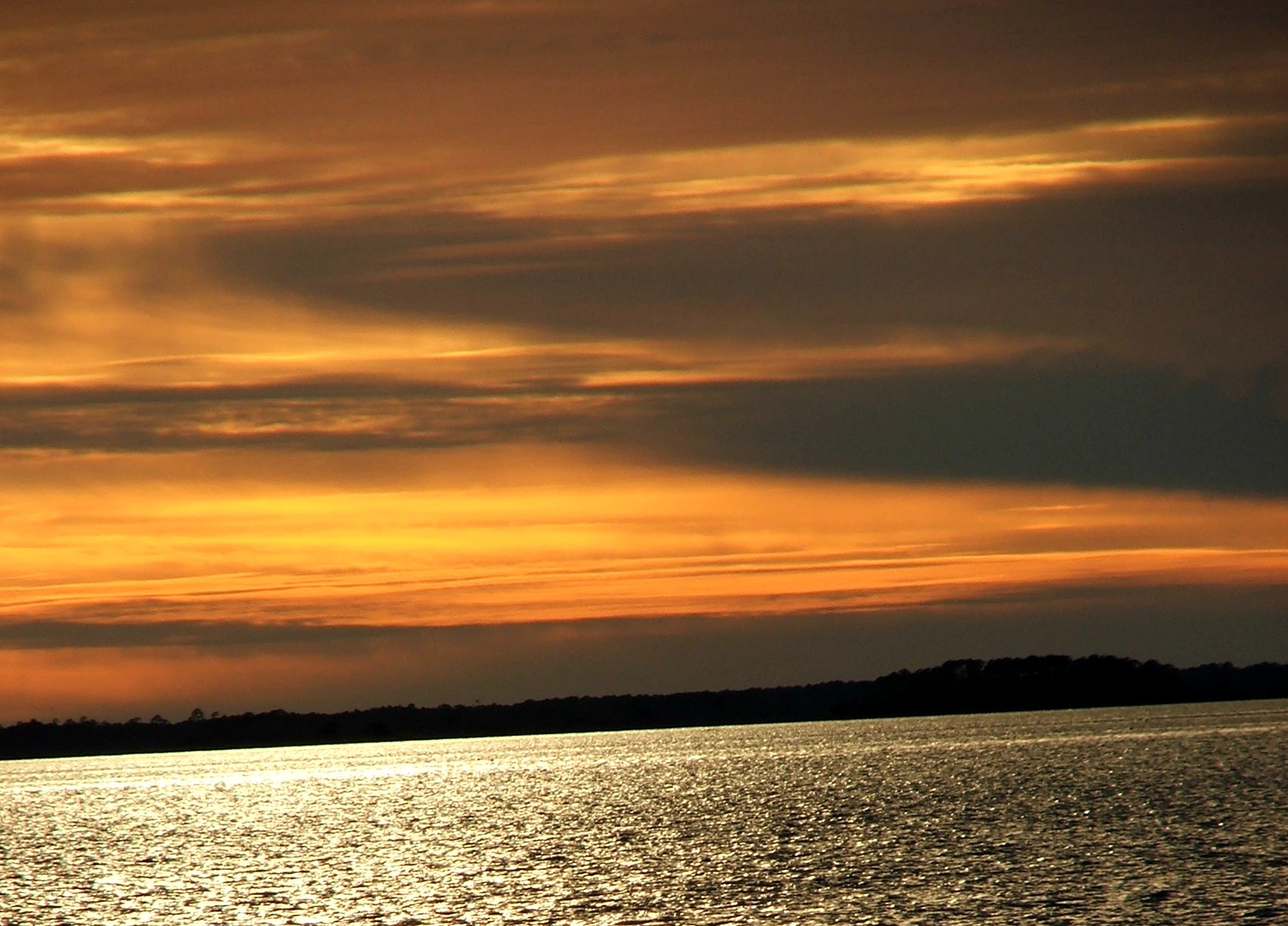
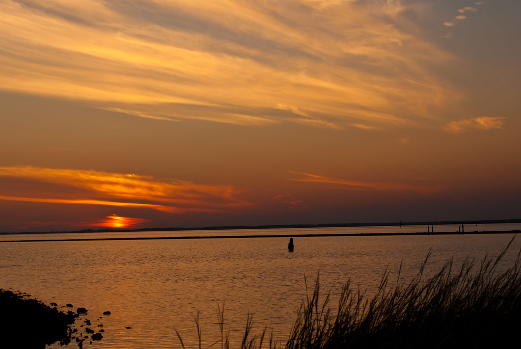
Bay Mouth Bar at Sunset
a perfect day
Topographic Map of 3 Blue Crab Ln, Panacea, FL, USA
Find elevation by address:

Places near 3 Blue Crab Ln, Panacea, FL, USA:
28 Sunrise Ln
28 Sunrise Ln
27 Sunrise Ln
63 Sunrise Ln
573 Mashes Sands Rd
306 Mashes Sands Rd
306 Mashes Sands Rd
303 Mashes Sands Rd
297 Mashes Sands Rd
9 Lake View Dr
599 Alligator Dr
Magnolia St, Alligator Point, FL, USA
643 Mariner Cir
648 Mariner Cir
750 Alligator Dr
1139 Alligator Dr
1287 Angus Morrison Rd
1296 Alligator Dr
Shell Point Rd, Crawfordville, FL, USA
Recent Searches:
- Elevation of Corso Fratelli Cairoli, 35, Macerata MC, Italy
- Elevation of Tallevast Rd, Sarasota, FL, USA
- Elevation of 4th St E, Sonoma, CA, USA
- Elevation of Black Hollow Rd, Pennsdale, PA, USA
- Elevation of Oakland Ave, Williamsport, PA, USA
- Elevation of Pedrógão Grande, Portugal
- Elevation of Klee Dr, Martinsburg, WV, USA
- Elevation of Via Roma, Pieranica CR, Italy
- Elevation of Tavkvetili Mountain, Georgia
- Elevation of Hartfords Bluff Cir, Mt Pleasant, SC, USA