Elevation of 28 Sunrise Ln, Panacea, FL, USA
Location: United States > Florida > Wakulla County > Ochlockonee Bay >
Longitude: -84.3478424
Latitude: 29.9720358
Elevation: 2m / 7feet
Barometric Pressure: 0KPa
Related Photos:

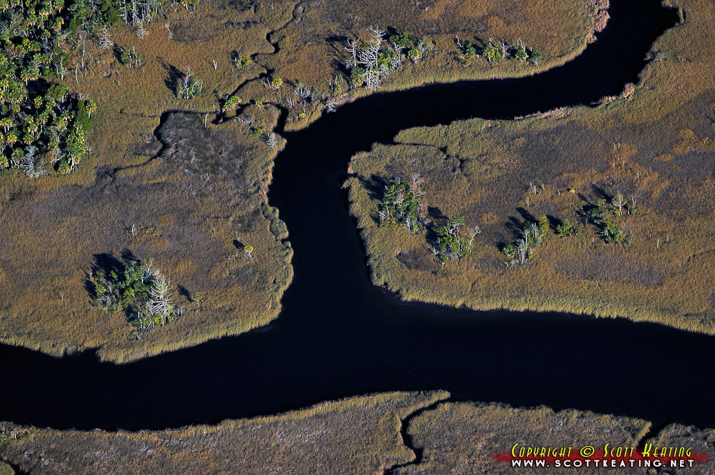
I, Solitary Soul, Eye Sole, A Tree, See By Sea - IMRAN™ -- 500+ Views! Explored!

Bald Point State Park & Alligator Point

Bud anyone?
I miss this view

St. Marks

Angelo and Son's Seafood Restaurant

Lunch at Angelo's & Sons at Ochlockonee Bay near Panacea, FL

The view from the patio at Angelo's. Panacea Florida

Low tide morning, day six. Last morning. Up before the sun, rewarded with an amazing view of the beach and the water. Ready to head home, though. #70d #dslr

View from Angelo and Sons, Ochlockanee

This was my #sunset view over #OchlockneeBay driving the #Jeep home #topDown #DoorsOff #nofilter #wx #jeeplife

Fishing Pier at Dusk

IN THE FIELD...

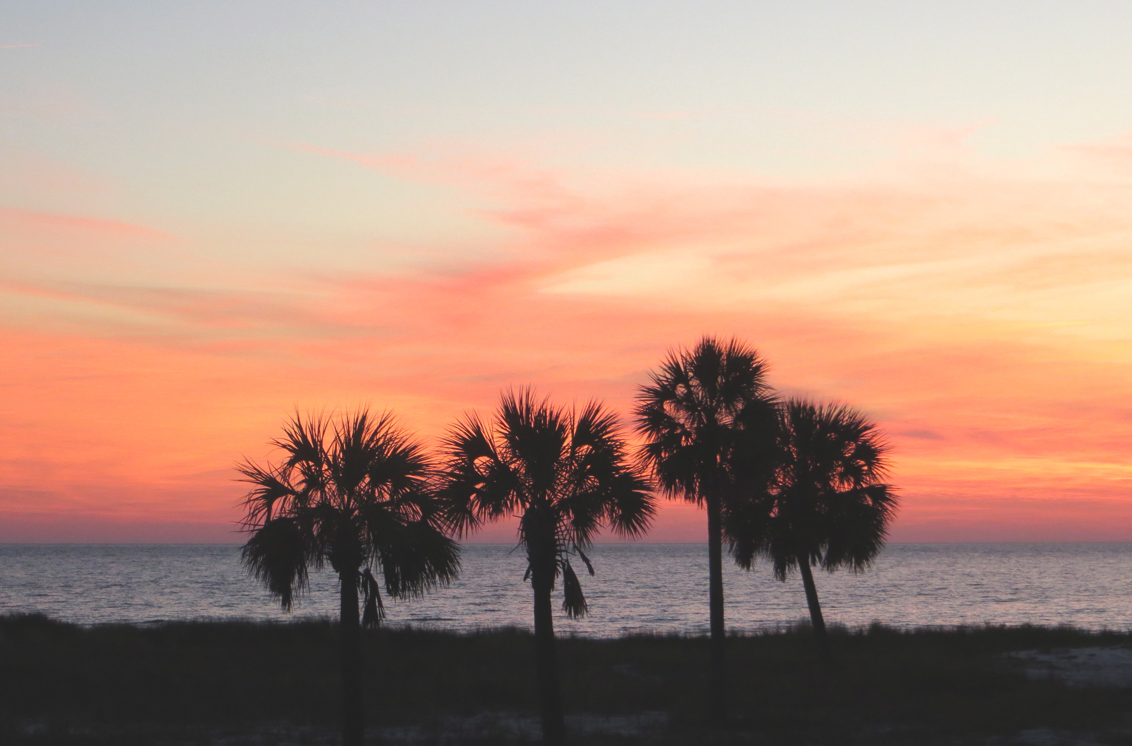
Gulf of Mexico sunset

Panacea Bridge over Ochlockonee Bay at Dusk
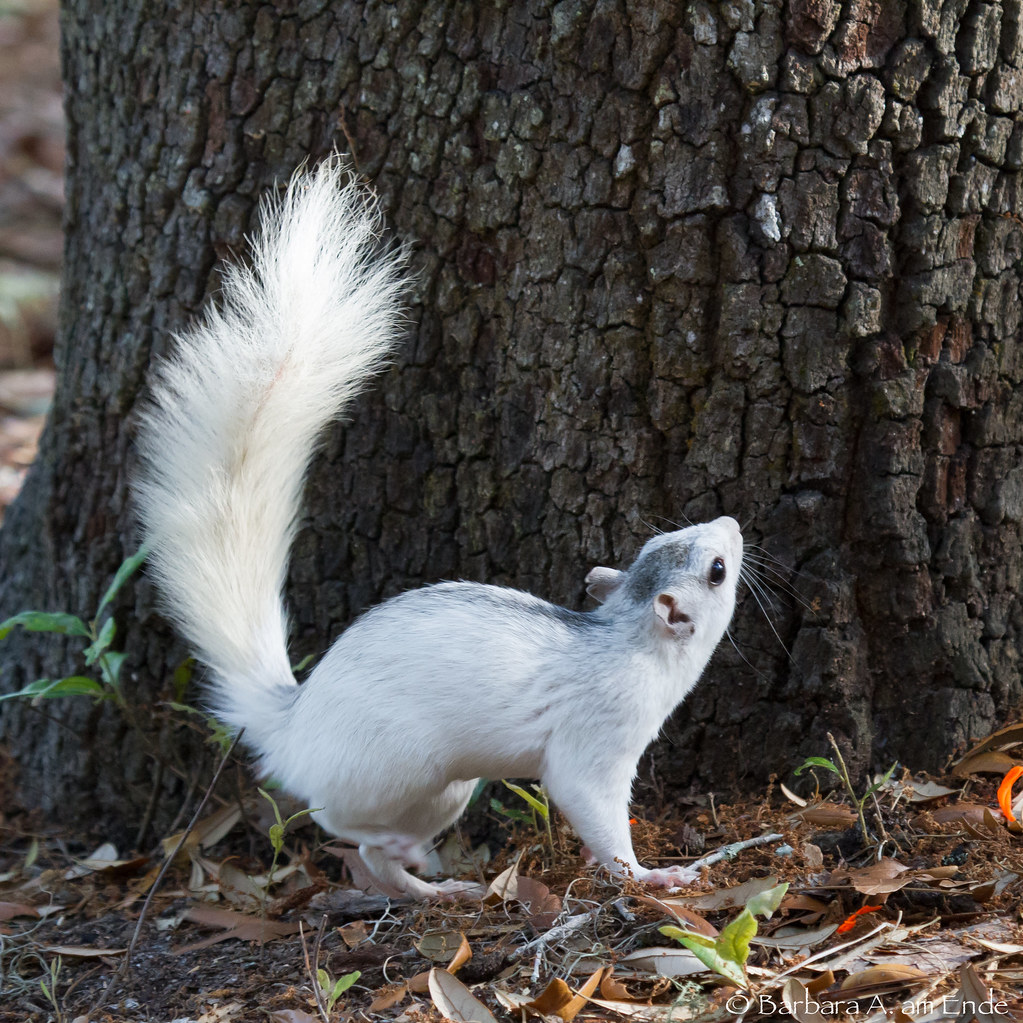
White Squirrel - not an albino

Fishing Pier

St. Marks

Corner Pond, St. Marks National Wildlife Refuge, Wakulla County, Florida 10
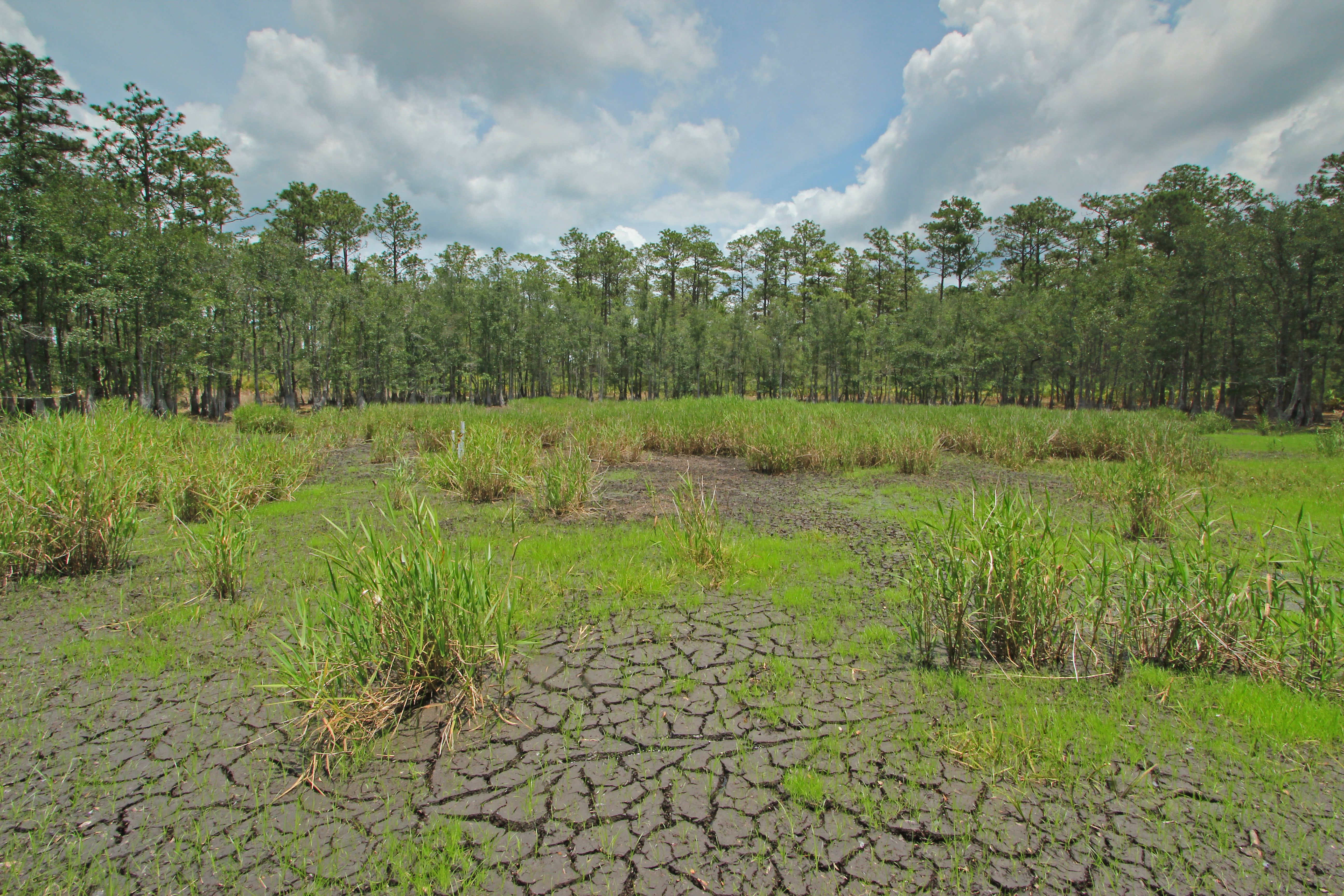
Corner Pond, St. Marks National Wildlife Refuge, Wakulla County, Florida 5
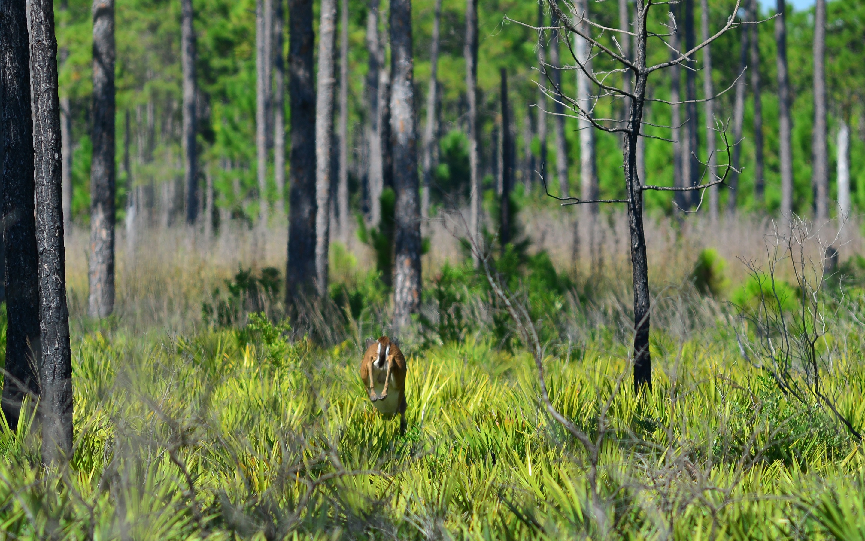
Deer 1

Corner Pond, St. Marks National Wildlife Refuge, Wakulla County, Florida 1

Beautiful stand of rattlesnake master

Low tide at Alligator Point

Twilight Low Tide

St. Marks

Forgotten Coast

Alligator Point
Bear Creek

Estuary 3

Gorgeous blue Skyflower blooming low

Rattlesnake master
Topographic Map of 28 Sunrise Ln, Panacea, FL, USA
Find elevation by address:

Places near 28 Sunrise Ln, Panacea, FL, USA:
28 Sunrise Ln
27 Sunrise Ln
63 Sunrise Ln
3 Blue Crab Ln
573 Mashes Sands Rd
306 Mashes Sands Rd
306 Mashes Sands Rd
303 Mashes Sands Rd
297 Mashes Sands Rd
9 Lake View Dr
599 Alligator Dr
Magnolia St, Alligator Point, FL, USA
643 Mariner Cir
648 Mariner Cir
750 Alligator Dr
1139 Alligator Dr
1287 Angus Morrison Rd
1296 Alligator Dr
Shell Point Rd, Crawfordville, FL, USA
1591 Shell Point Rd
Recent Searches:
- Elevation of 611, Roman Road, Old Ford, Bow, London, England, E3 2RW, United Kingdom
- Elevation of 116, Beartown Road, Underhill, Chittenden County, Vermont, 05489, USA
- Elevation of Window Rock, Colfax County, New Mexico, 87714, USA
- Elevation of 4807, Rosecroft Street, Kempsville Gardens, Virginia Beach, Virginia, 23464, USA
- Elevation map of Matawinie, Quebec, Canada
- Elevation of Sainte-Émélie-de-l'Énergie, Matawinie, Quebec, Canada
- Elevation of Rue du Pont, Sainte-Émélie-de-l'Énergie, Matawinie, Quebec, J0K2K0, Canada
- Elevation of 8, Rue de Bécancour, Blainville, Thérèse-De Blainville, Quebec, J7B1N2, Canada
- Elevation of Wilmot Court North, 163, University Avenue West, Northdale, Waterloo, Region of Waterloo, Ontario, N2L6B6, Canada
- Elevation map of Panamá Province, Panama
- Elevation of Balboa, Panamá Province, Panama
- Elevation of San Miguel, Balboa, Panamá Province, Panama
- Elevation of Isla Gibraleón, San Miguel, Balboa, Panamá Province, Panama
- Elevation of 4655, Krischke Road, Schulenburg, Fayette County, Texas, 78956, USA
- Elevation of Carnegie Avenue, Downtown Cleveland, Cleveland, Cuyahoga County, Ohio, 44115, USA
- Elevation of Walhonding, Coshocton County, Ohio, USA
- Elevation of Clifton Down, Clifton, Bristol, City of Bristol, England, BS8 3HU, United Kingdom
- Elevation map of Auvergne-Rhône-Alpes, France
- Elevation map of Upper Savoy, Auvergne-Rhône-Alpes, France
- Elevation of Chamonix-Mont-Blanc, Upper Savoy, Auvergne-Rhône-Alpes, France