Elevation of Marble Mountain Ln, Fort Jones, CA, USA
Location: United States > California > Siskiyou County > Fort Jones >
Longitude: -122.984728
Latitude: 41.6202776
Elevation: 851m / 2792feet
Barometric Pressure: 0KPa
Related Photos:

David trip
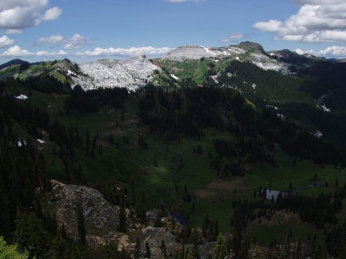
Marble Mountains
David trip
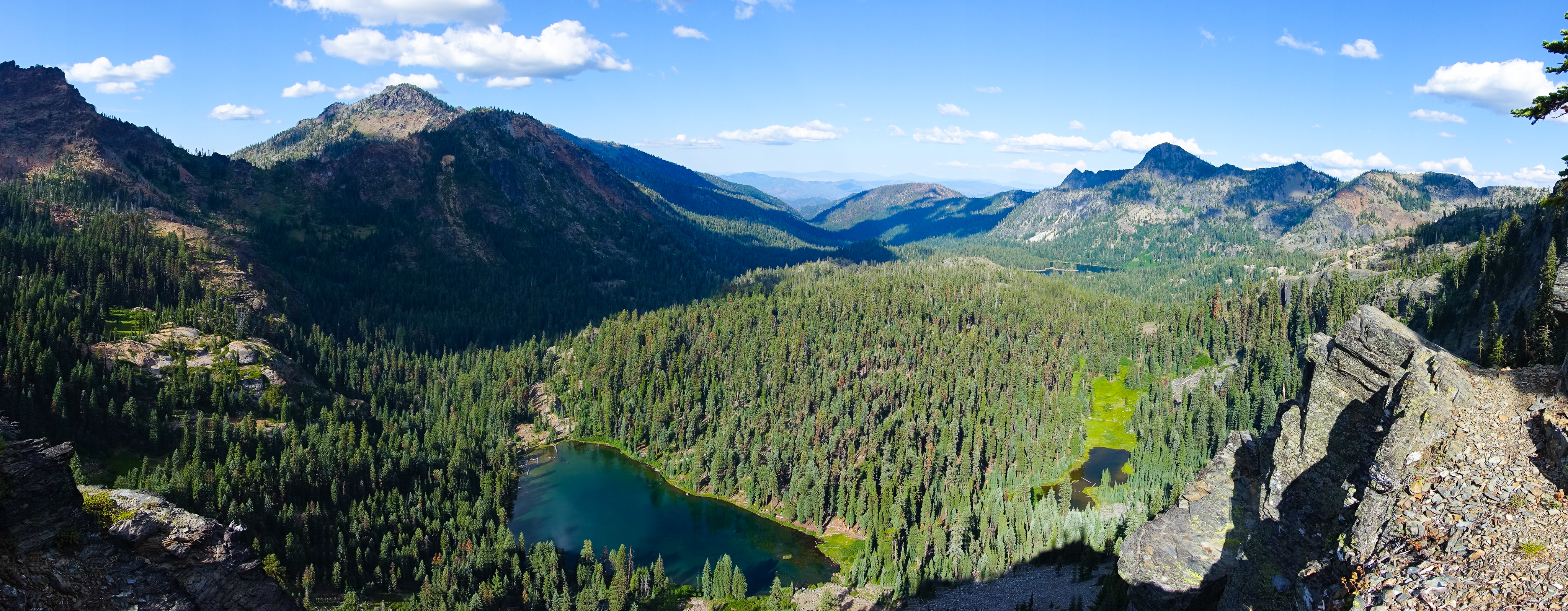
Cliff Lake, Marble Mountain Wilderness

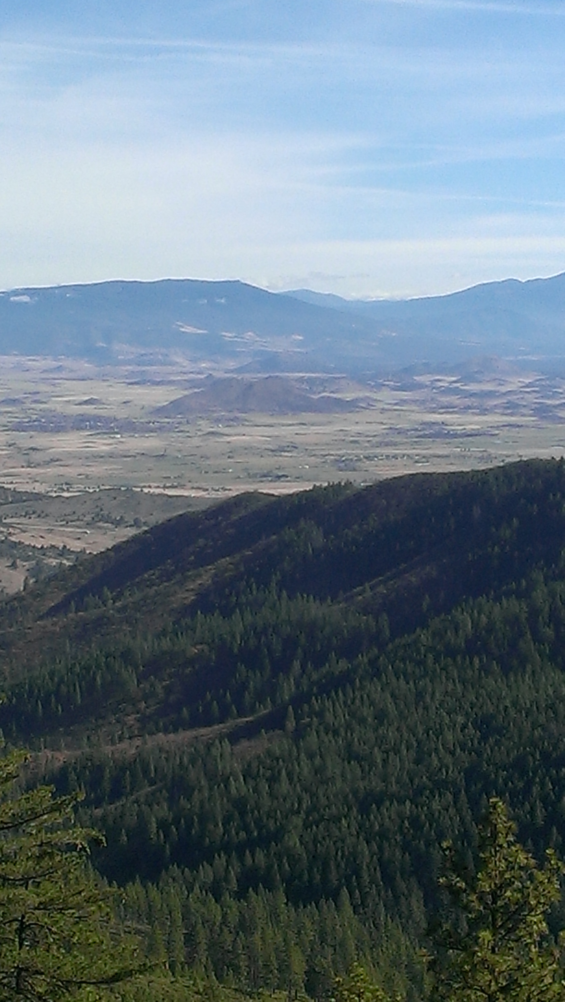
Blue Ridges to the west
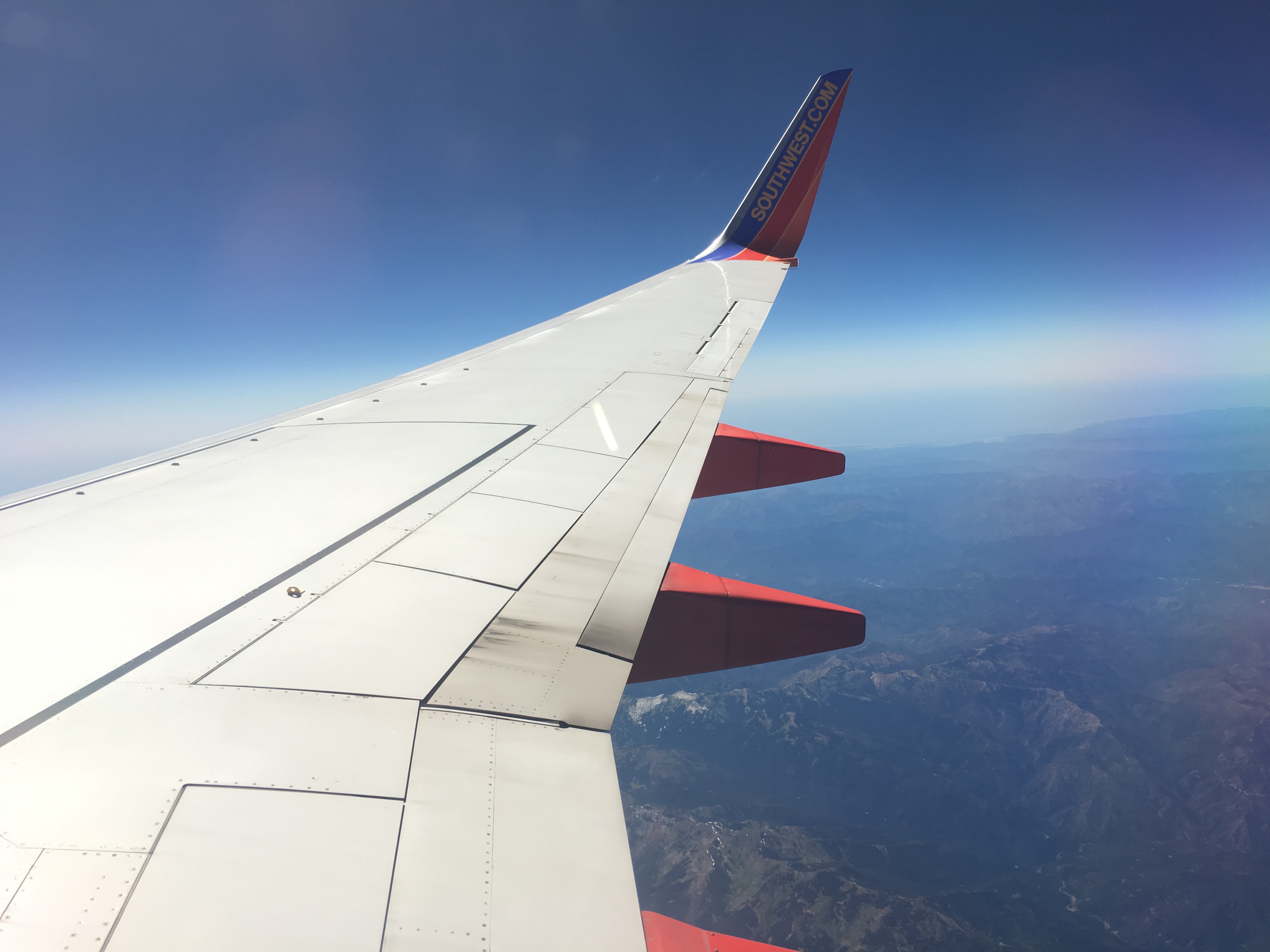
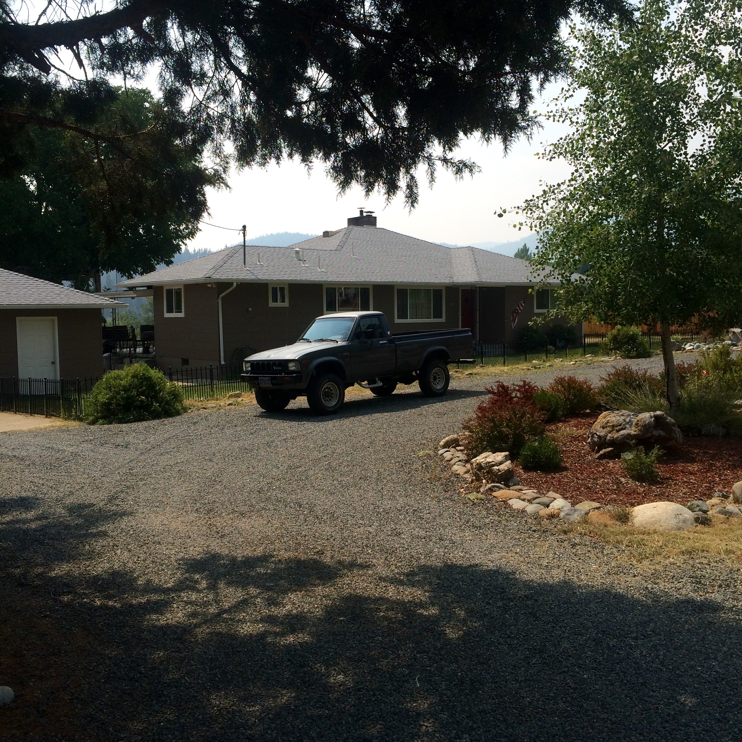
17. Cruising

Porch life at Grandma & Grandpa Jenott's, relaxing under the California sun.

Vitamin D time.
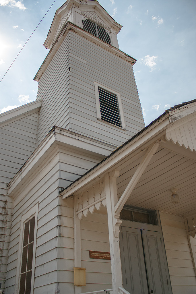
Old Methodist Church 1873
PCT from iPhone
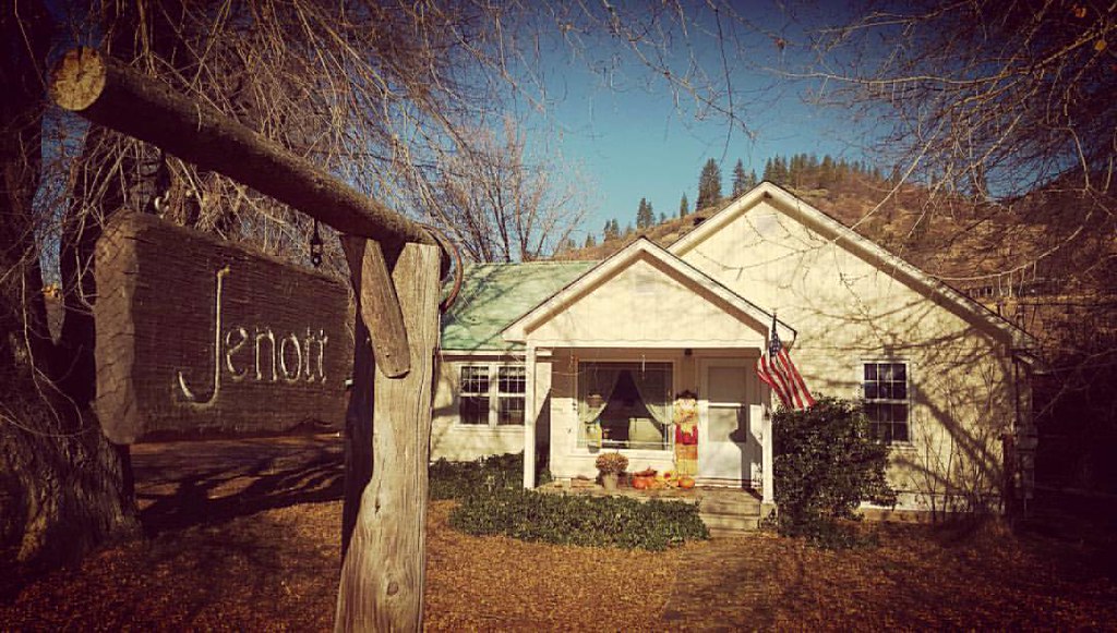
The Jenott place.

Jeff Neil

_9100017.NEF

2014-09-06
David trip
David trip
David trip
David trip
David trip

David trip

David trip

David trip
Topographic Map of Marble Mountain Ln, Fort Jones, CA, USA
Find elevation by address:

Places near Marble Mountain Ln, Fort Jones, CA, USA:
9007 Marble Mountain Ln
9007 Marble Mountain Ln
8701 Marble Mountain Ln
Smokey Lane
9515 Scott River Rd
6349 Scott River Rd
Quartz Valley Rd, Fort Jones, CA, USA
Klamath River
Greenview
25231 Scott River Rd
Boulder Peak
1219 Patterson Creek Rd
Scott Bar
Scott River Rd, Scott Bar, CA, USA
Scott River Lodge
Scott Valley Rd, Etna, CA, USA
148 Newton St
12094 Oak Mill Dr
Fort Jones
29103 Scott River Rd
Recent Searches:
- Elevation map of Greenland, Greenland
- Elevation of Sullivan Hill, New York, New York, 10002, USA
- Elevation of Morehead Road, Withrow Downs, Charlotte, Mecklenburg County, North Carolina, 28262, USA
- Elevation of 2800, Morehead Road, Withrow Downs, Charlotte, Mecklenburg County, North Carolina, 28262, USA
- Elevation of Yangbi Yi Autonomous County, Yunnan, China
- Elevation of Pingpo, Yangbi Yi Autonomous County, Yunnan, China
- Elevation of Mount Malong, Pingpo, Yangbi Yi Autonomous County, Yunnan, China
- Elevation map of Yongping County, Yunnan, China
- Elevation of North 8th Street, Palatka, Putnam County, Florida, 32177, USA
- Elevation of 107, Big Apple Road, East Palatka, Putnam County, Florida, 32131, USA
- Elevation of Jiezi, Chongzhou City, Sichuan, China
- Elevation of Chongzhou City, Sichuan, China
- Elevation of Huaiyuan, Chongzhou City, Sichuan, China
- Elevation of Qingxia, Chengdu, Sichuan, China
- Elevation of Corso Fratelli Cairoli, 35, Macerata MC, Italy
- Elevation of Tallevast Rd, Sarasota, FL, USA
- Elevation of 4th St E, Sonoma, CA, USA
- Elevation of Black Hollow Rd, Pennsdale, PA, USA
- Elevation of Oakland Ave, Williamsport, PA, USA
- Elevation of Pedrógão Grande, Portugal